free to be able to rate and comment on reports (as well as access 1:25000 mapping).
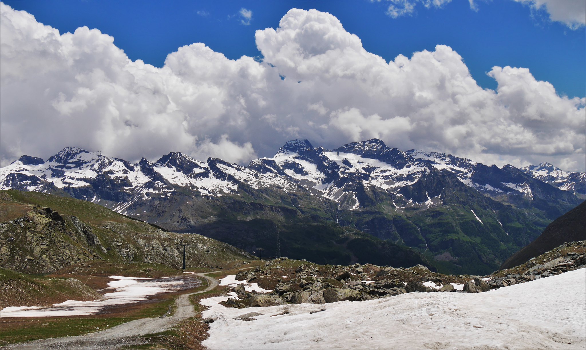
The Spaghetti Tour. A 5 day trek around the Monta Rosa Range, in the Swiss/Italian Alps starting from Zermatt.Friday 24th-28th June 2016. Day 1.Zermatt to the Breithorn (4165m) Then to the Val d'Ayes Hut (3440)Hot and sunny, cold on the Breithorn.
A cable car from Zermatt took us to Klein Matterhorn (3883m) From there we roped up to cross the glacier steadily climbing steeper to the summit of the Breithorn.
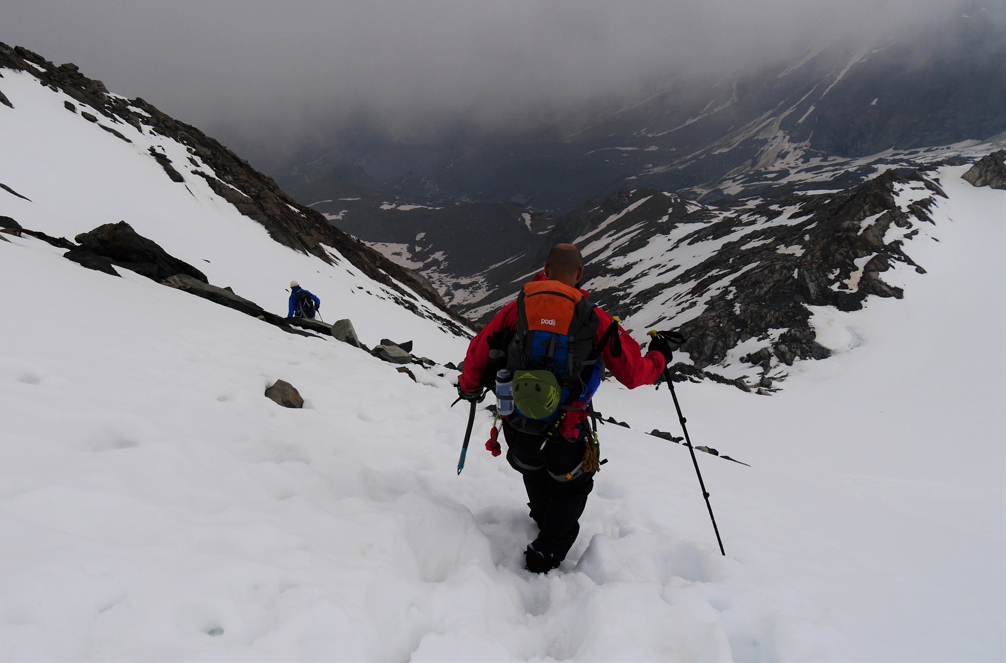
An airy ridge leads back down to the glacier, which undulates then drops steeply to our hut for the night.
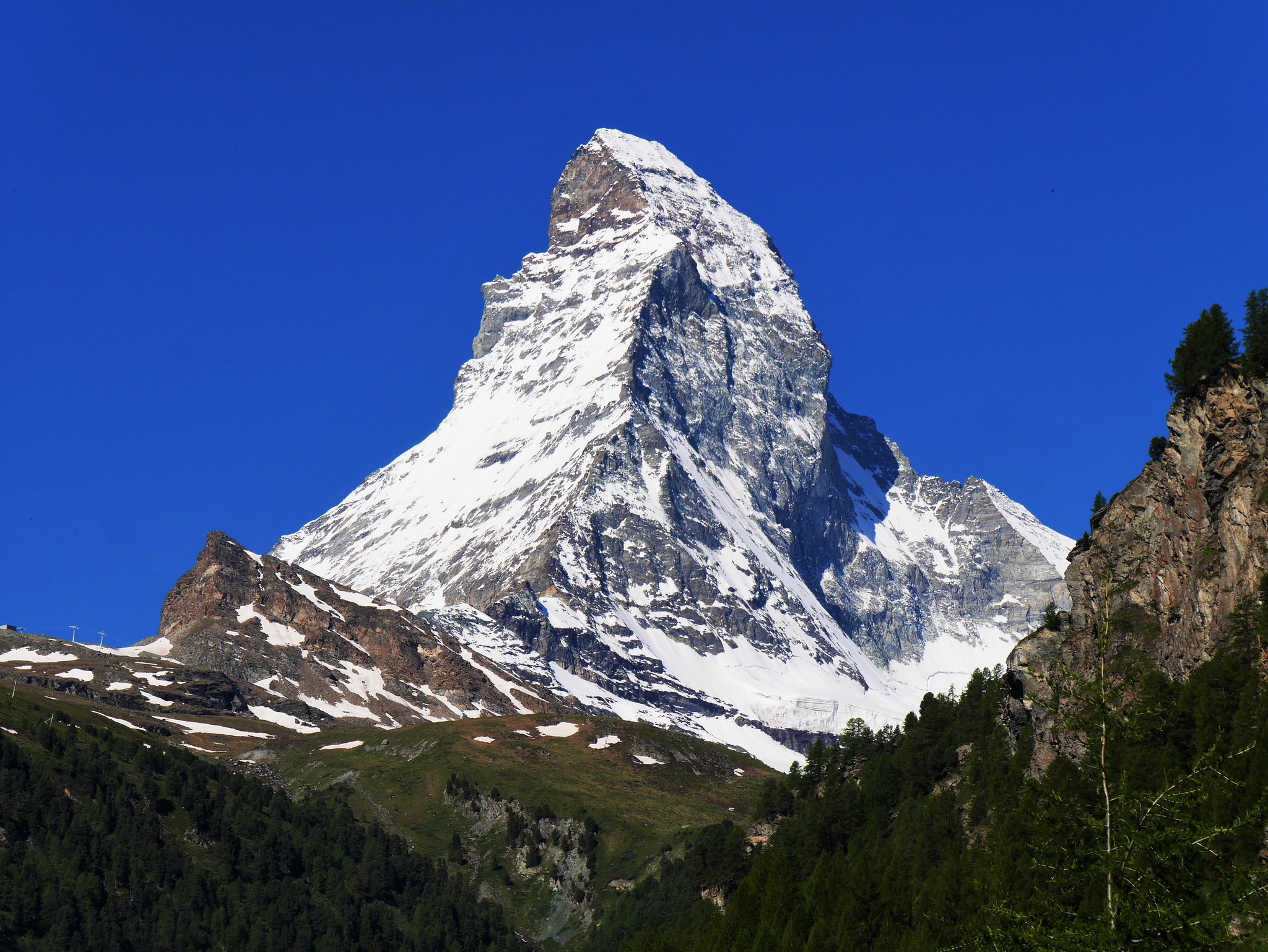 View of the Matterhorn from Zermatt
 by
Alan, on Flickr
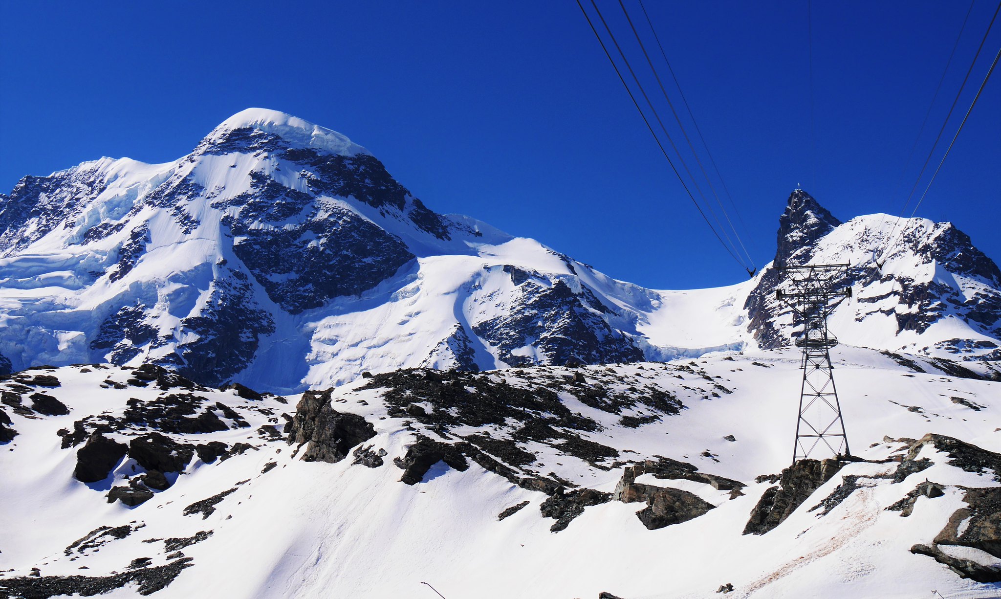 Breithorn and Klein Matterhorn
 by
Alan, on Flickr
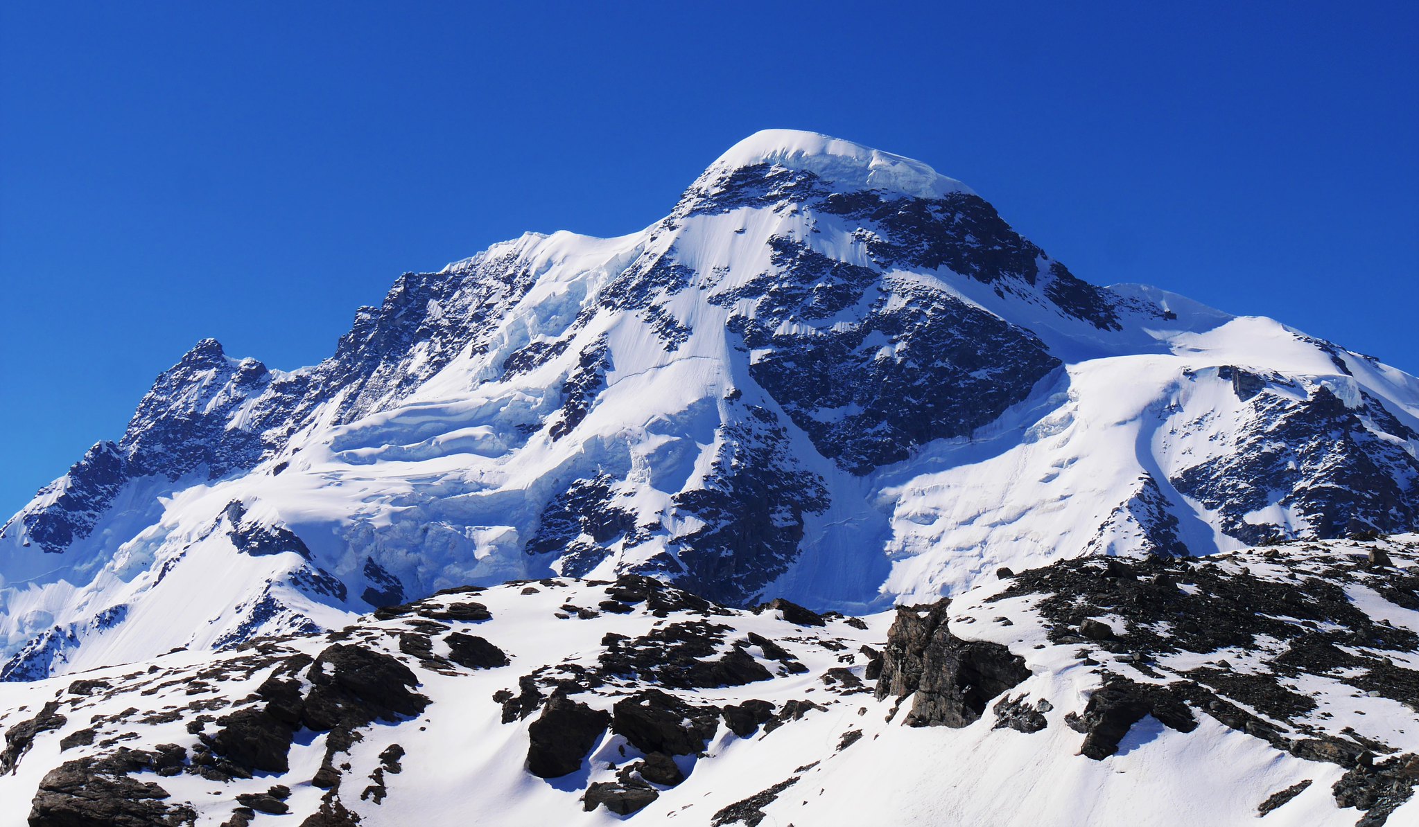 Breithorn
 by
Alan, on Flickr
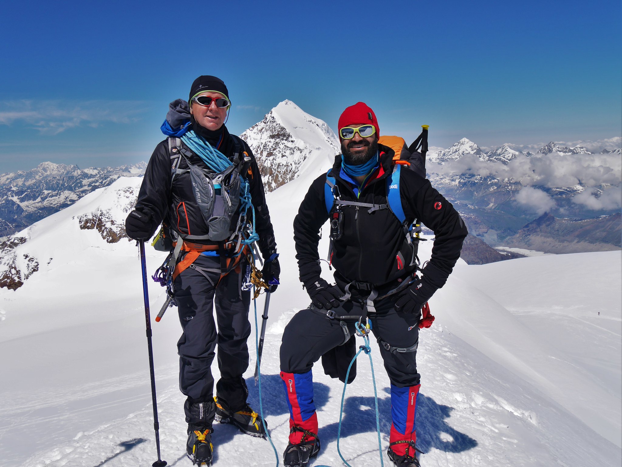
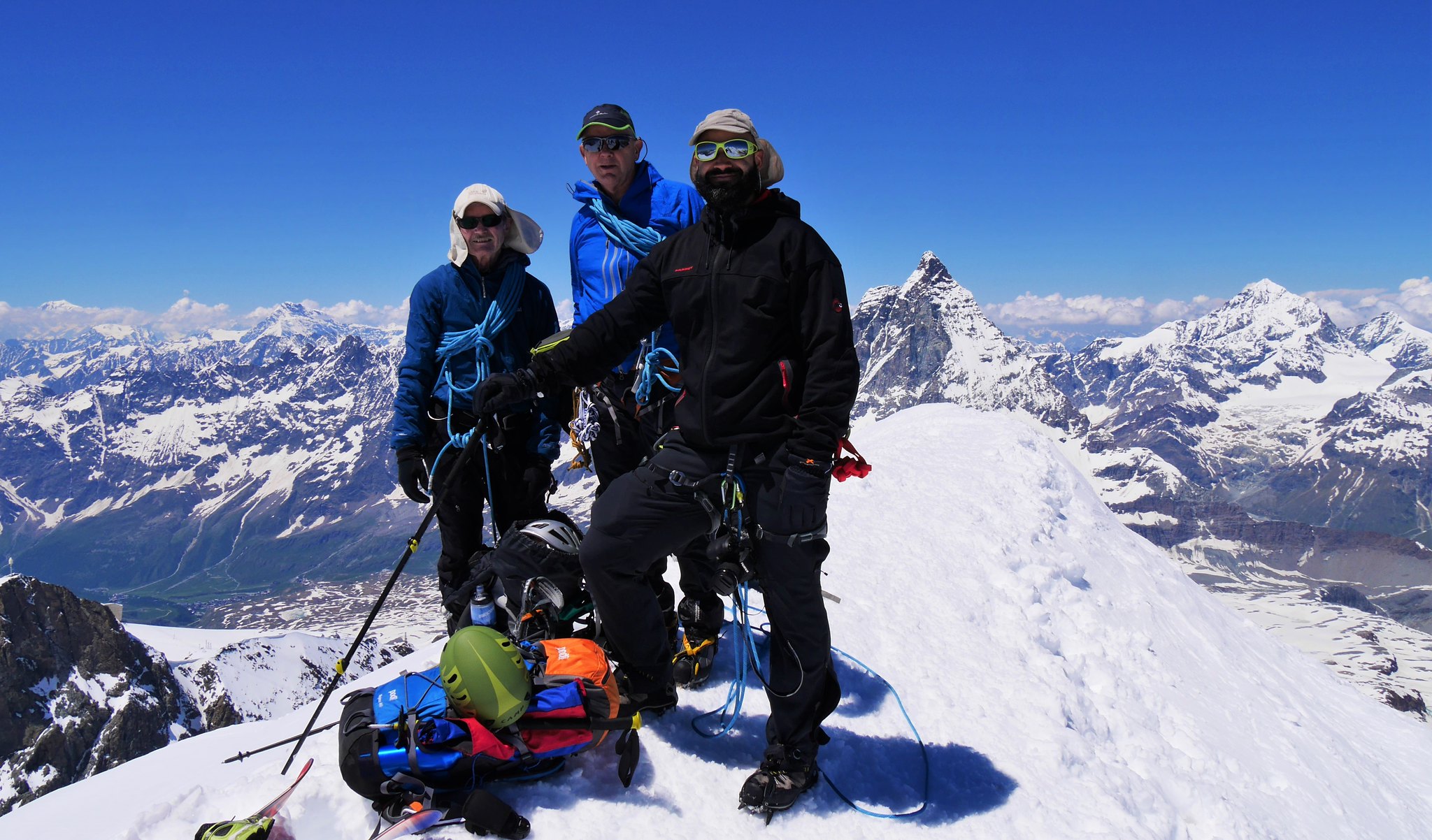 Breithorn summit
 by
Alan, on Flickr
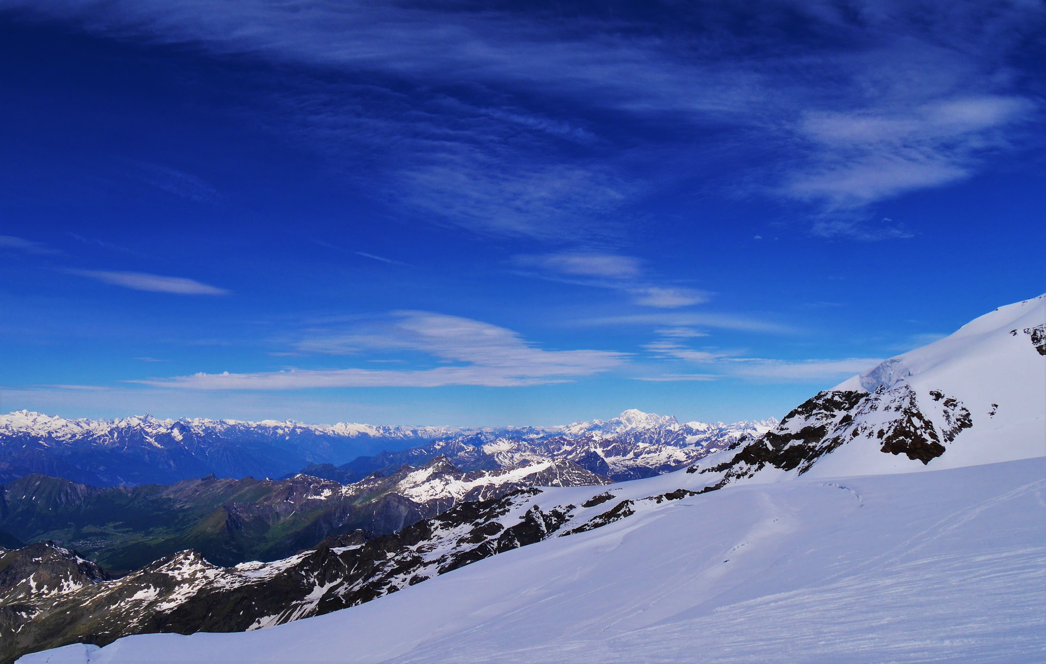
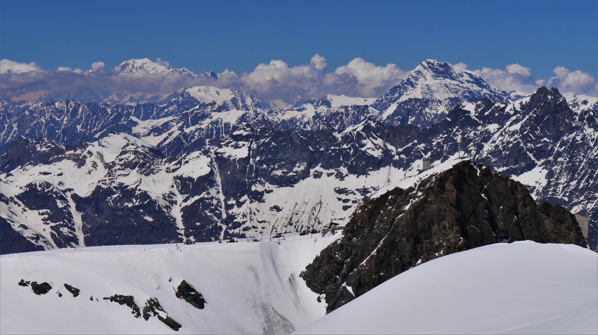 Mont Blanc in the left distance
 by
Alan, on Flickr
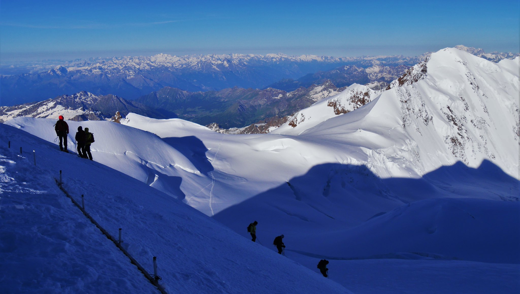
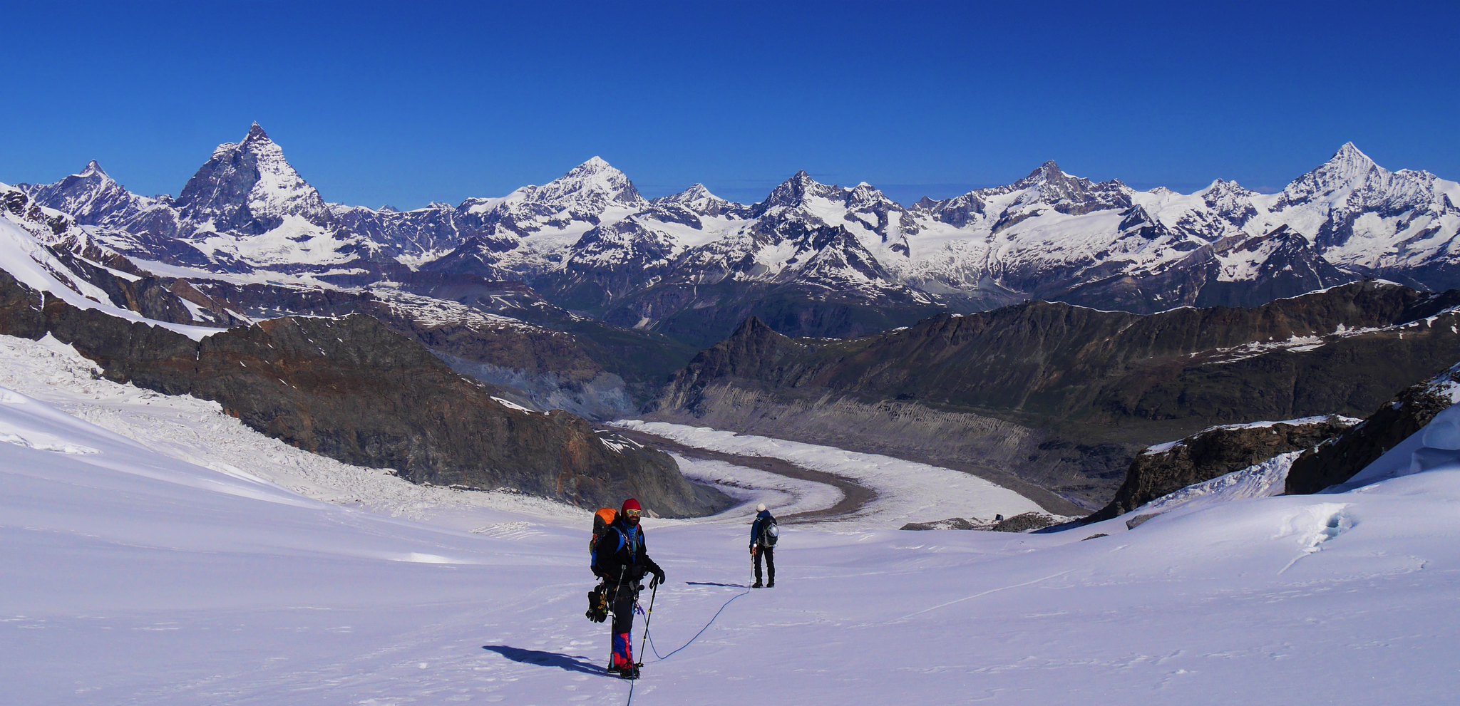
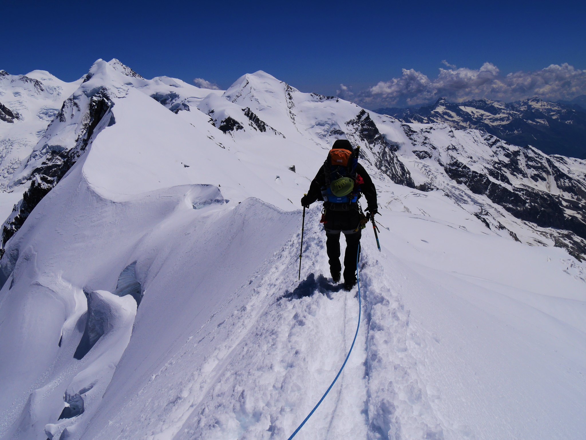 Breithorn summit ridge
 by
Alan, on Flickr
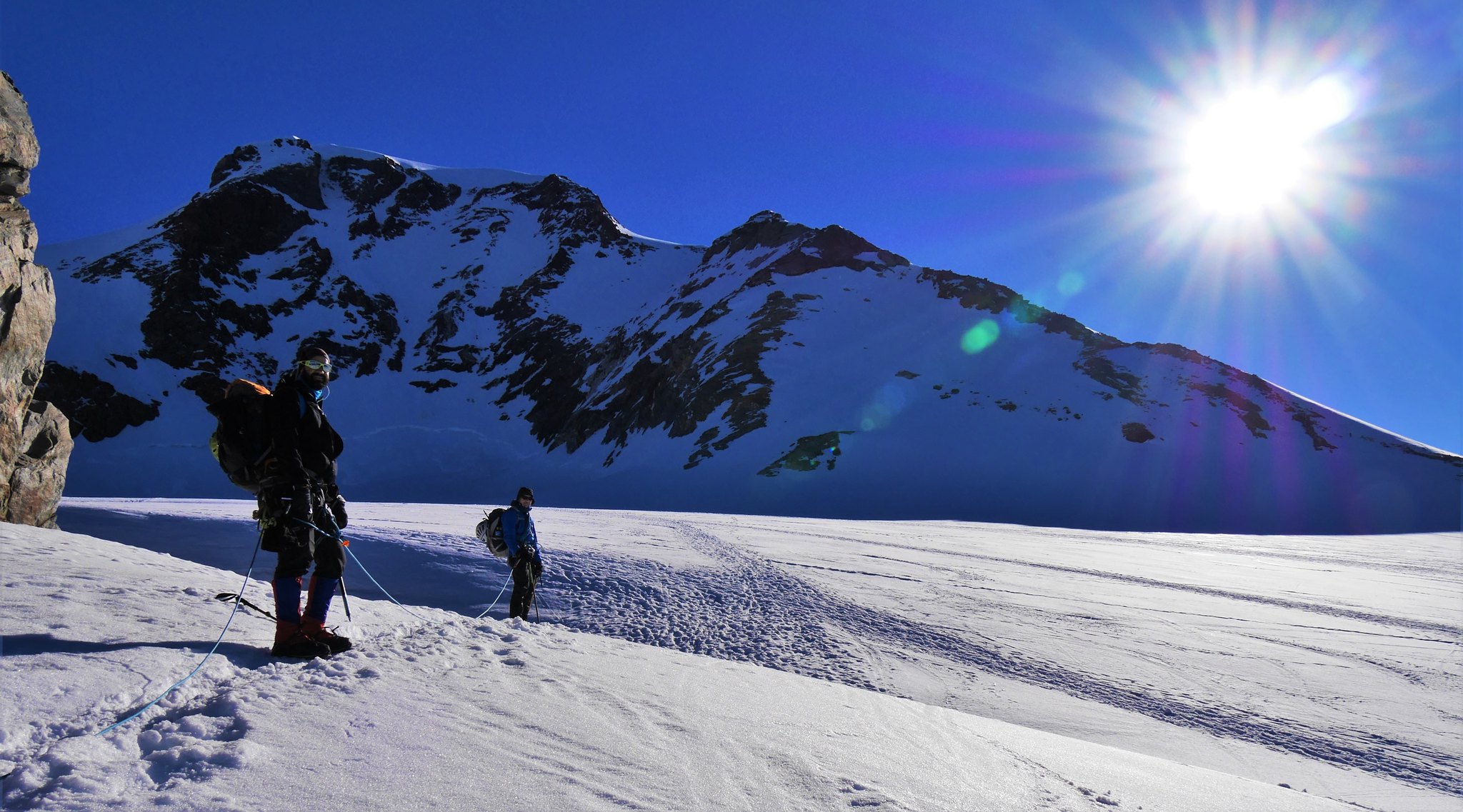
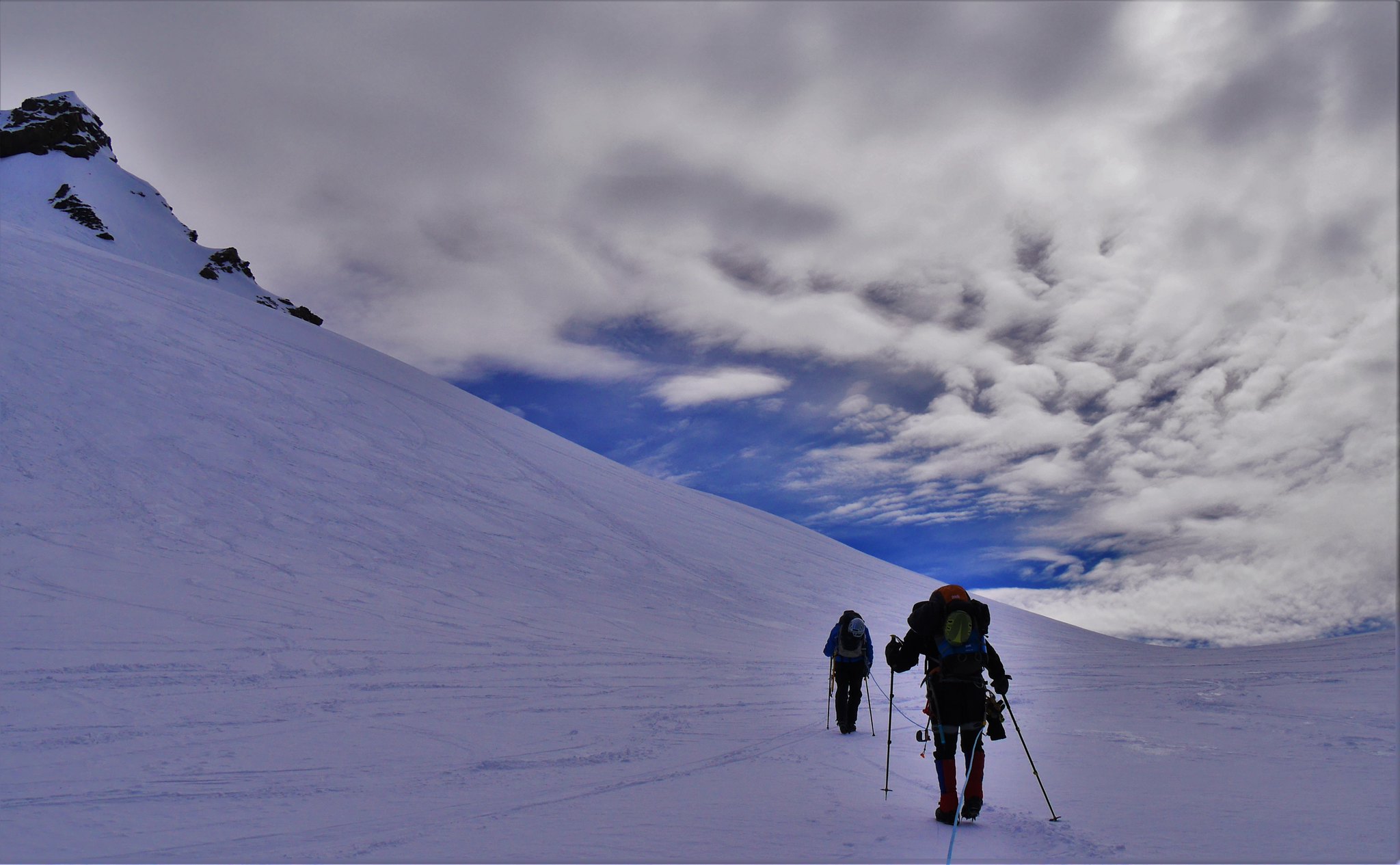
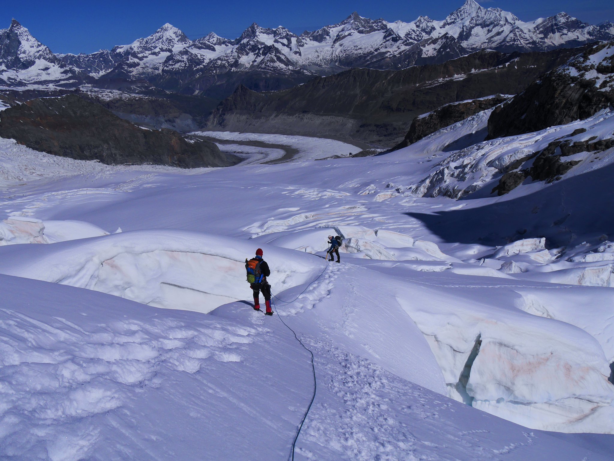
 Glacier walking to the Rifugio Sella (1)
 by
Alan, on Flickr
 Glacier walking to the Rifugio Sella (2)
 by
Alan, on Flickr
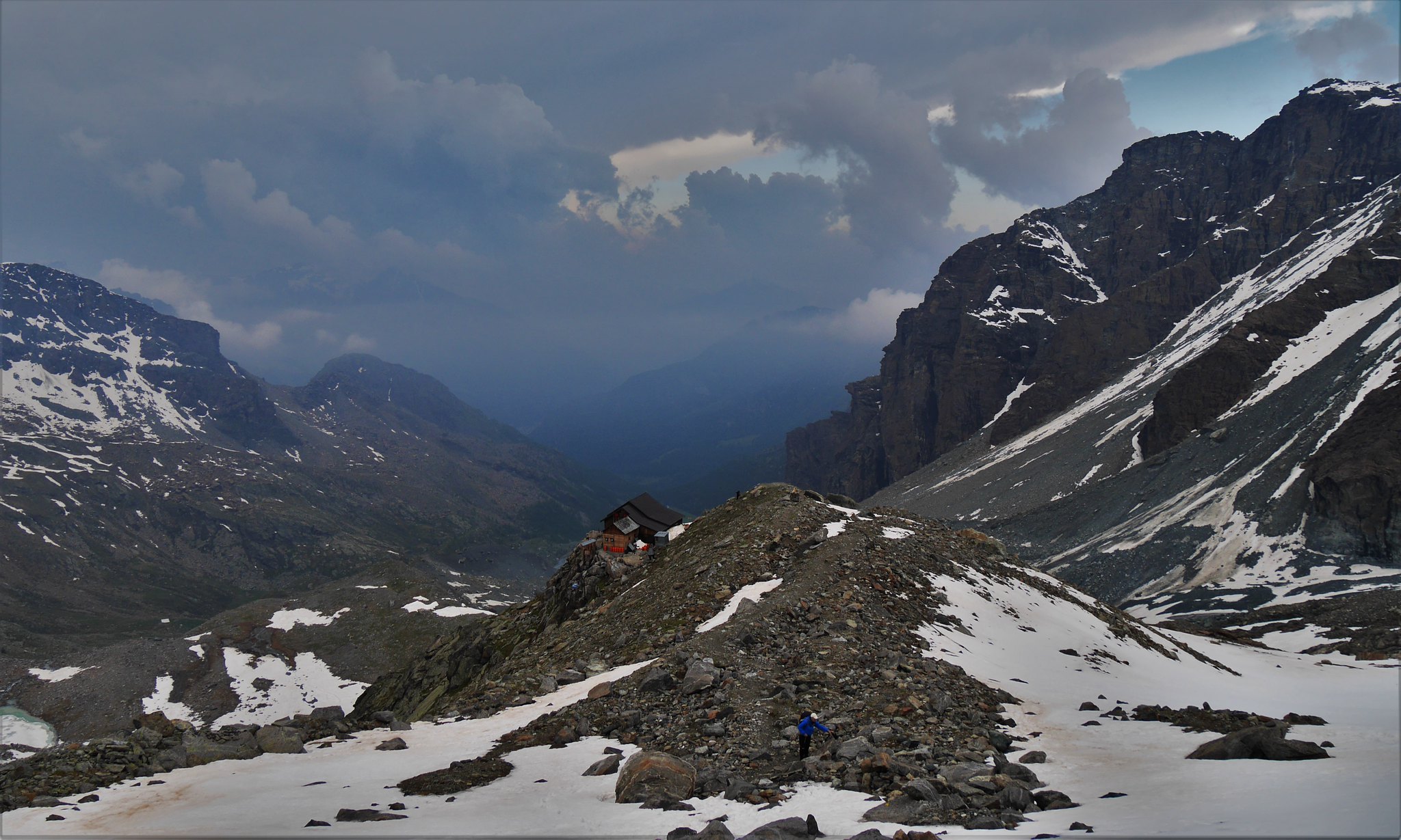
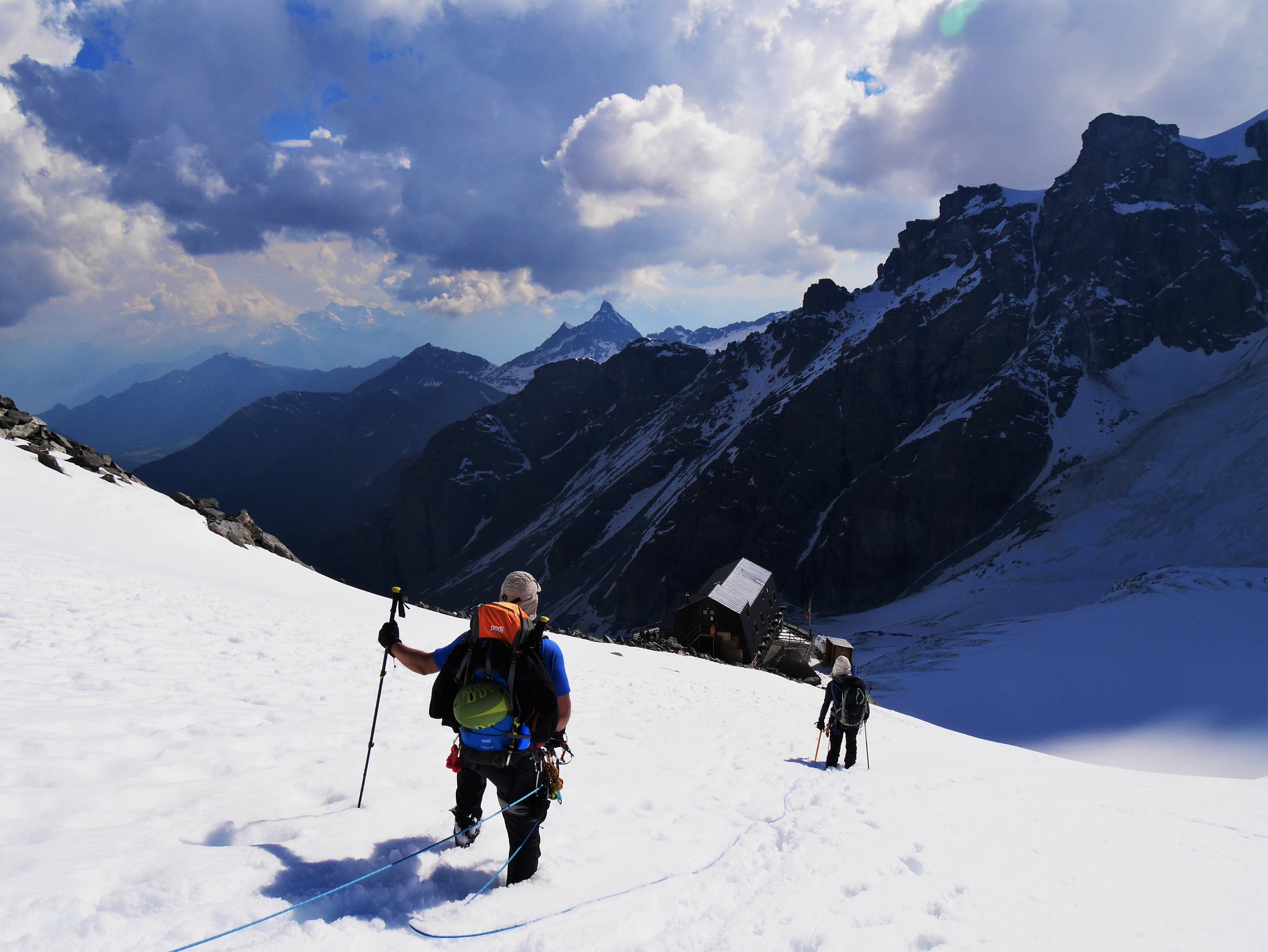 Rifugio Sella in view.
 by
Alan, on Flickr
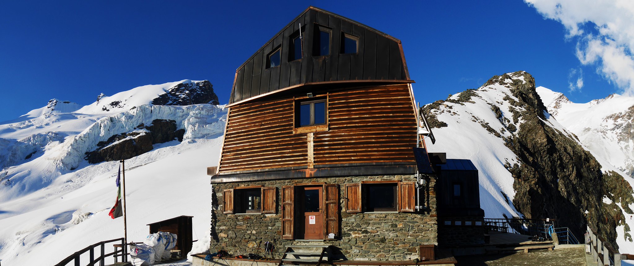 Rifugio Sella
 by
Alan, on Flickr
 Last sun from the Rifugio Sella
 by
Alan, on Flickr
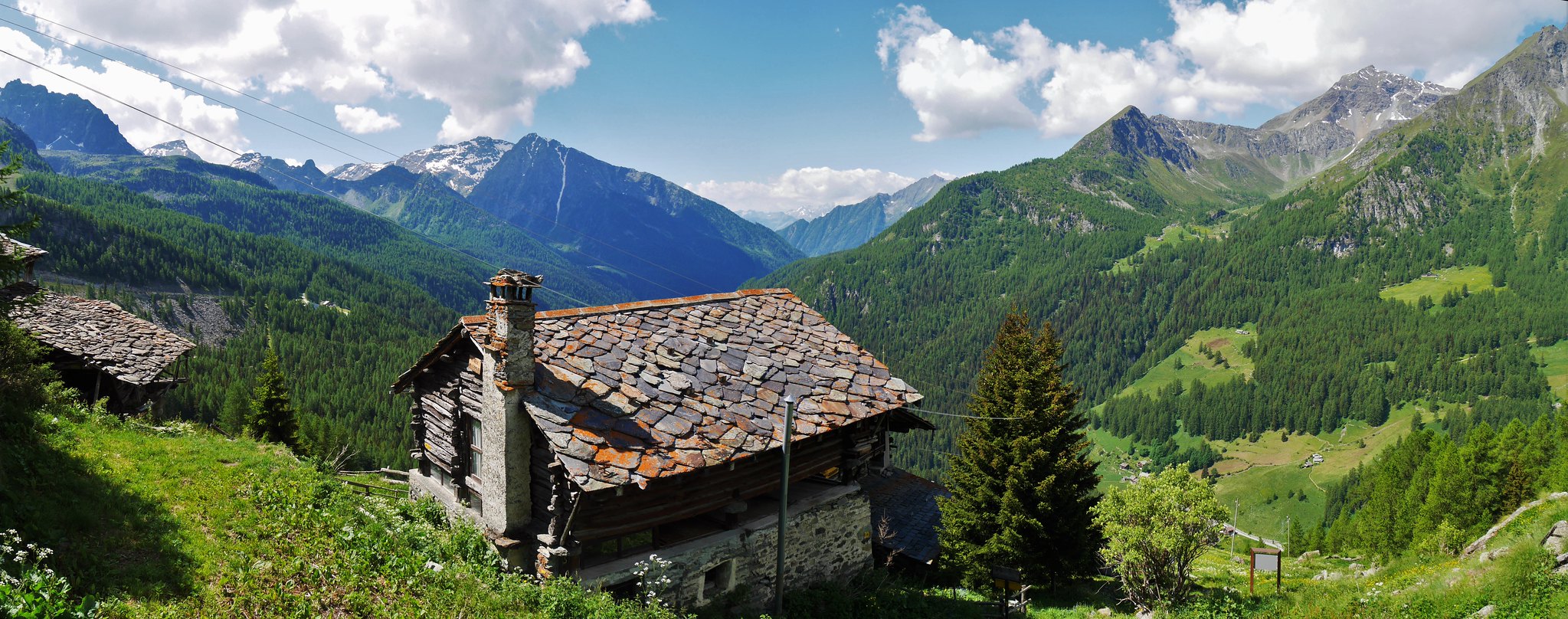
Day 2. Saturday 25thVal d'Ayes Hut (3440) to St Jacques village (1689m)Cloudy morning, thunder storm early afternoon, hot and sunny later.
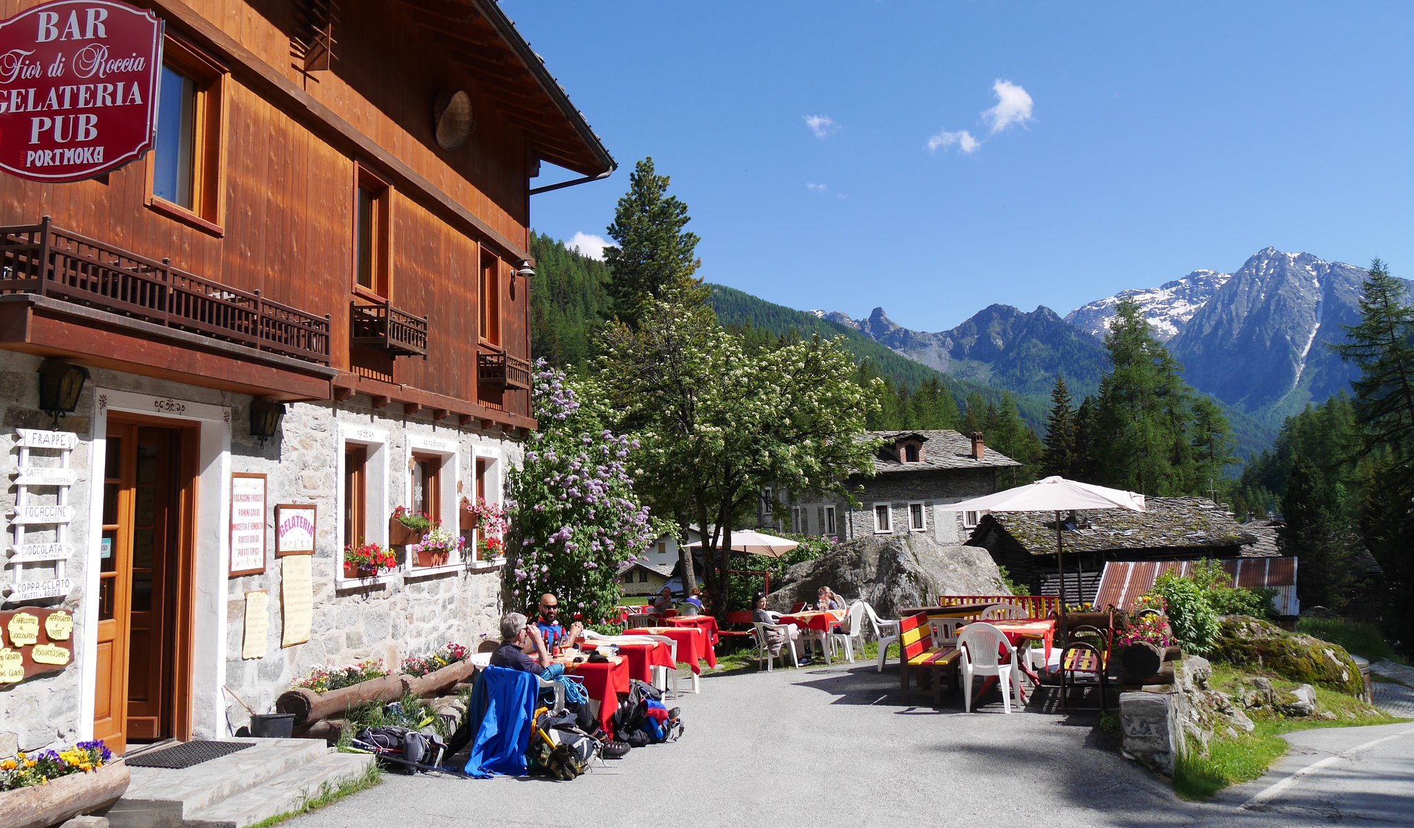
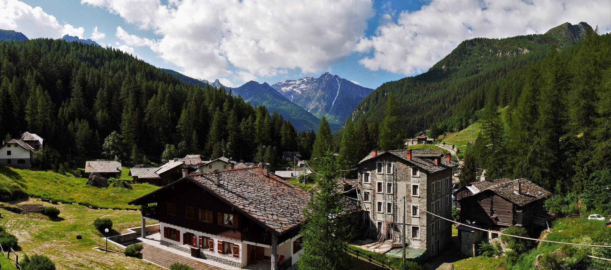
We awoke to cloud and a poor forecast so our planned high route over Castor (4221m) to our next mountain hut (Quintinu Sella) was out, there was an alternative route which took us down the valley then re-climb up. We dropped down to the valley, but a bad lightning storm stopped us from continuing back uphill. A check on the map showed a village several kilometres down the valley, so we headed down, ironically the storm passes and the sun broke out as we neared the village.
We found a nice apartment and a bar showing the Wales v Northern Ireland Euro game which Wales won 1-0, happy days!

 Dropping down from the Val d'Ayes Hut
 by
Alan, on Flickr
 Dropping down from the Val d'Ayes Hut
 by
Alan, on Flickr
 Thunder brewing clouds in the valley.
 by
Alan, on Flickr
 Enjoying a beer in sunshine after the storm. (2)
 by
Alan, on Flickr
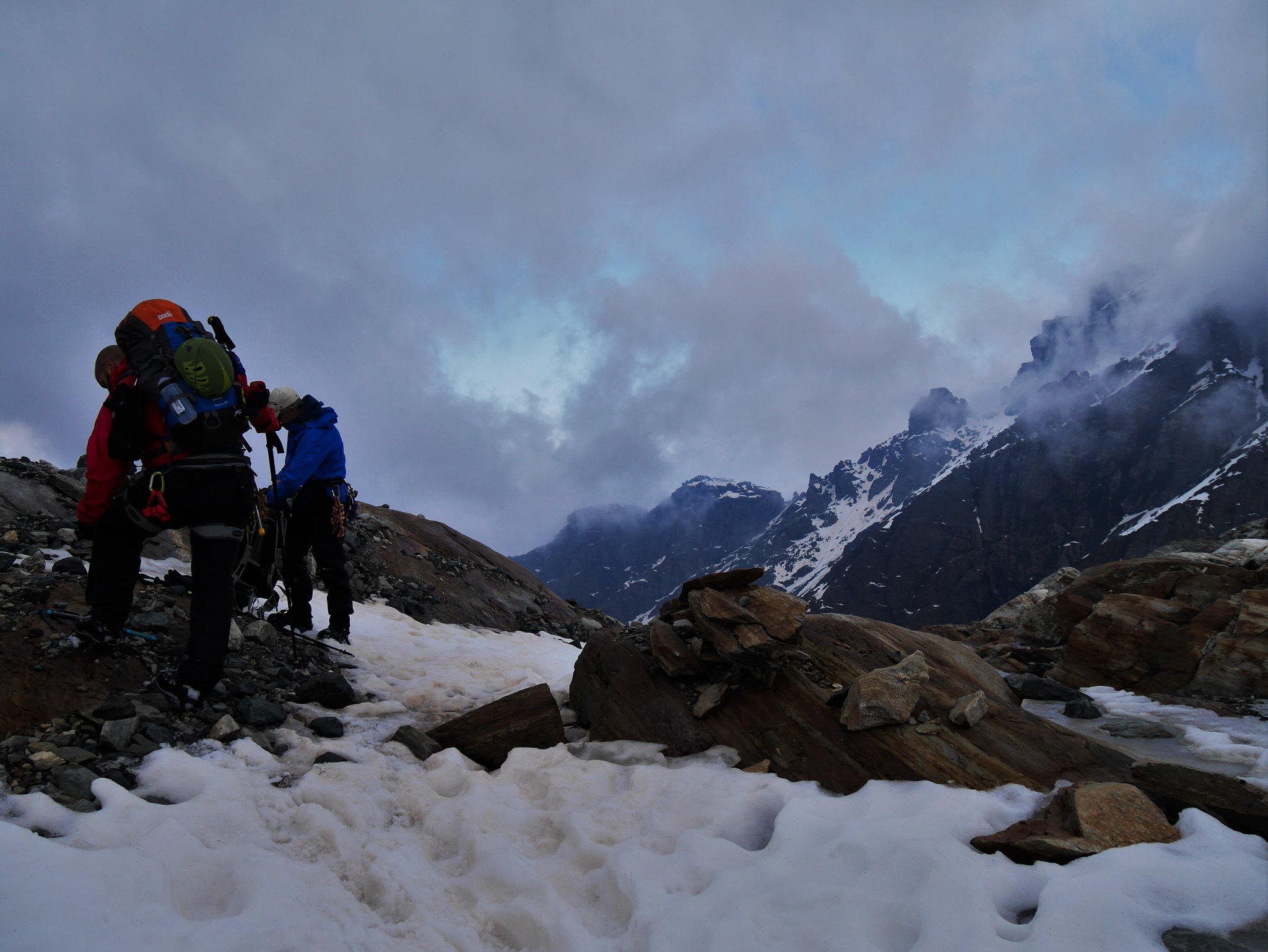
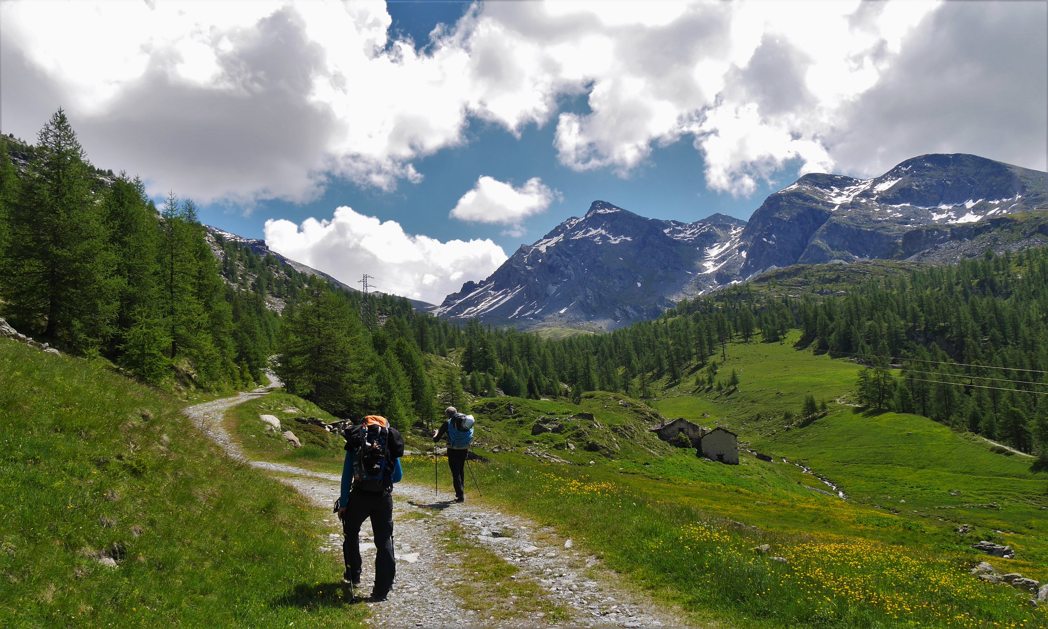
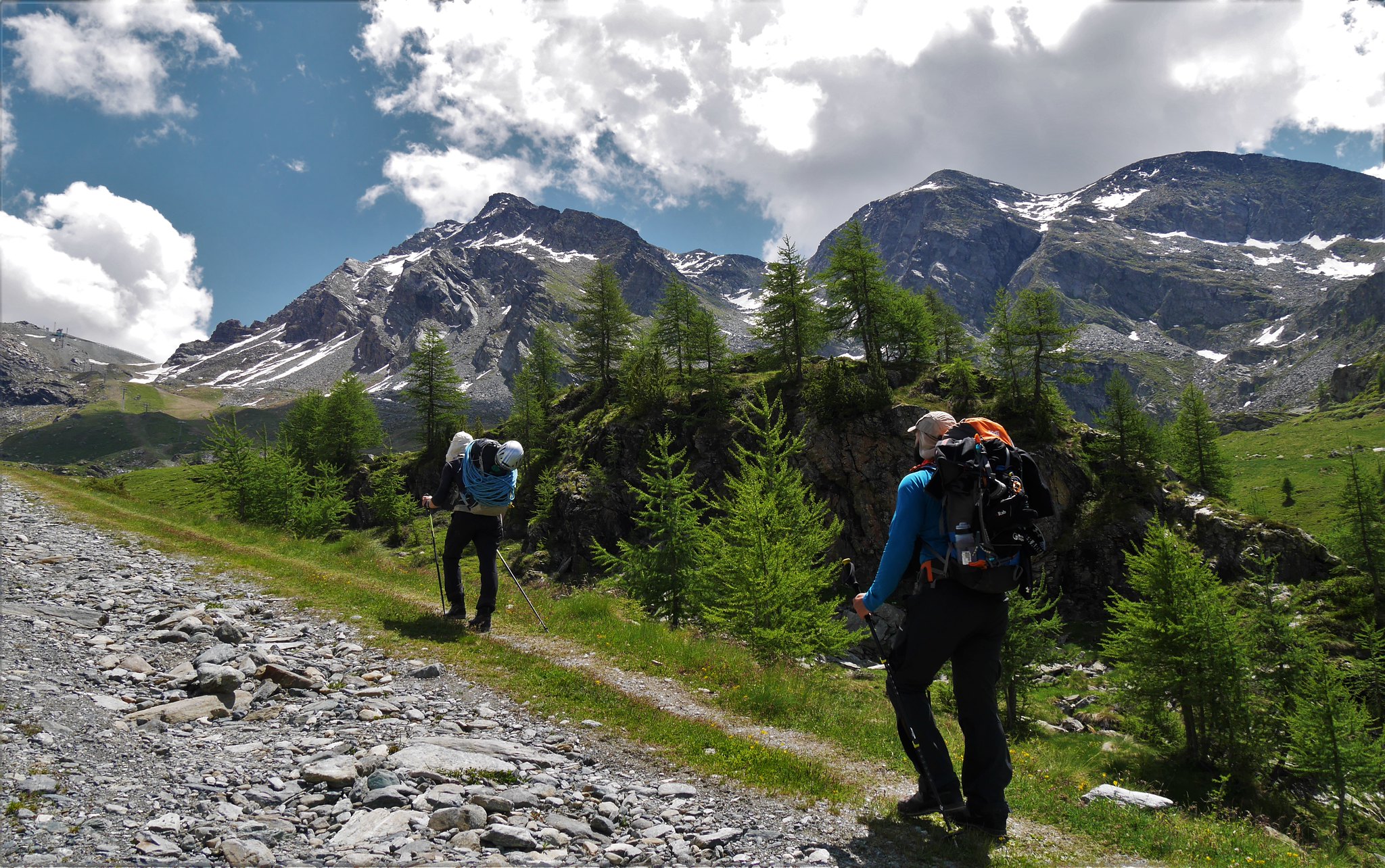
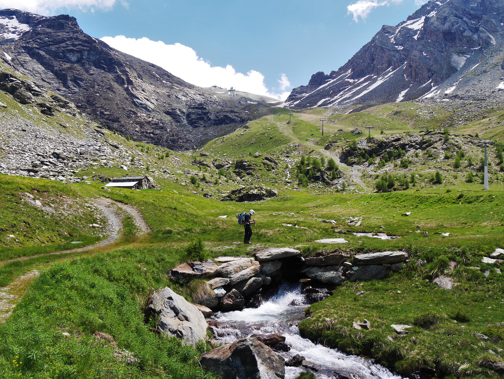
Day 3. Sunday 26thSt Jacques Village (1689m) to the Rifugio Gniffeti (3647m)Hot and mainly sunny, cloud later on our climb to the hut.
To get back on track we had to climb the Valley della Forca pass (2672m) then down to the village of Stafel where a cable car took us back up towards our next hut the Rifugio Gniffeti.
From the cable car it was straight onto the glacier for a steep climb though deep snow and occasional rock scrambling to the hut.
 View from our balcony in Saint Jacques
 by
Alan, on Flickr
 Saint Jacques
 by
Alan, on Flickr
 Valley della Forca.
 by
Alan, on Flickr
 Valley della Forca. (2)
 by
Alan, on Flickr
 Valley della Forca. (3)
 by
Alan, on Flickr
 Valley della Forca pass (2672m)
 by
Alan, on Flickr
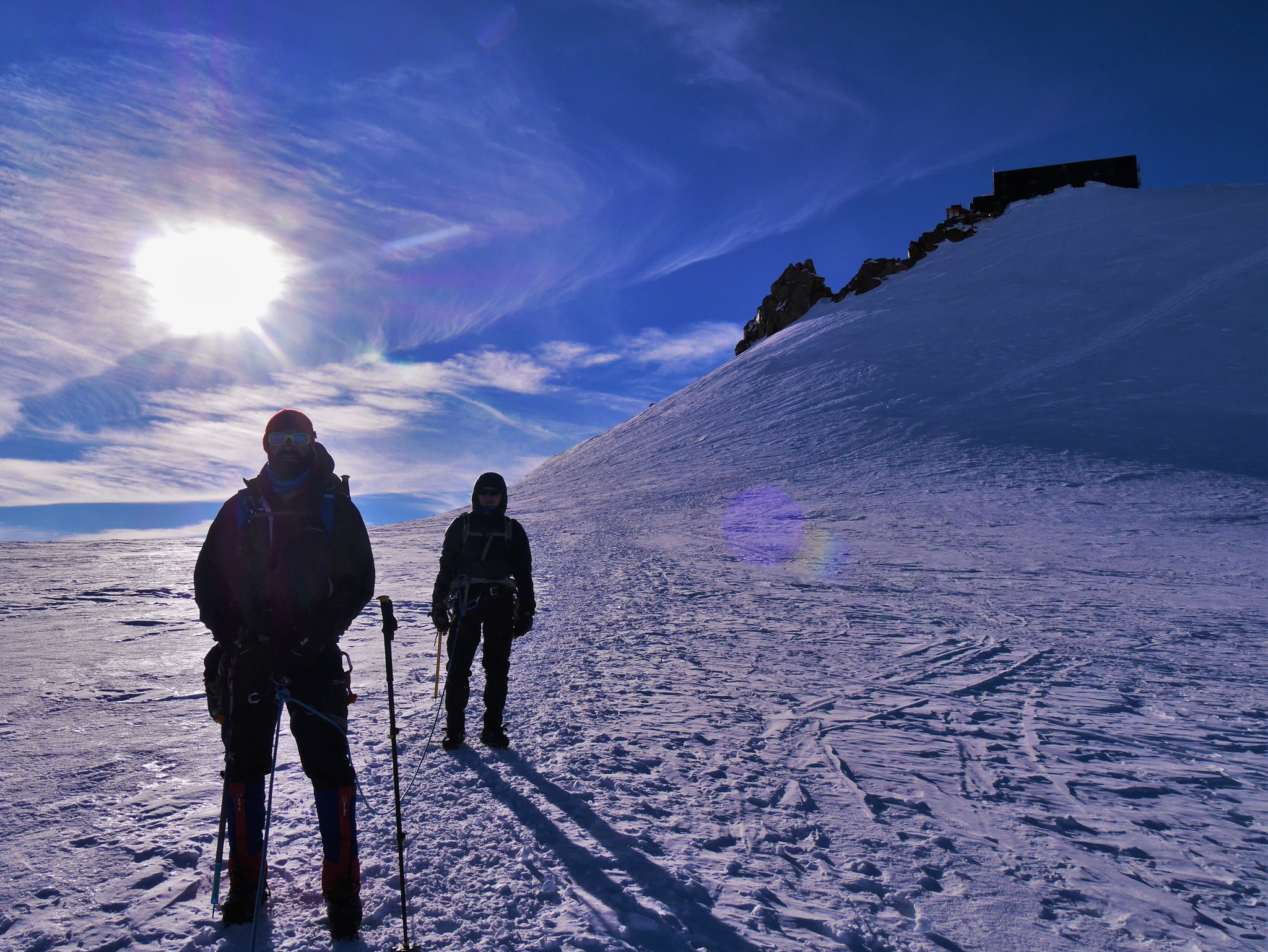
 Heading for the Refuge Gnifetti (3647m) (1)
 by
Alan, on Flickr
 Heading for the Refuge Gnifetti (3647m) (2)
 by
Alan, on Flickr
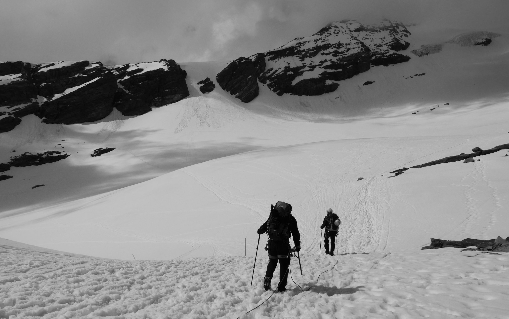
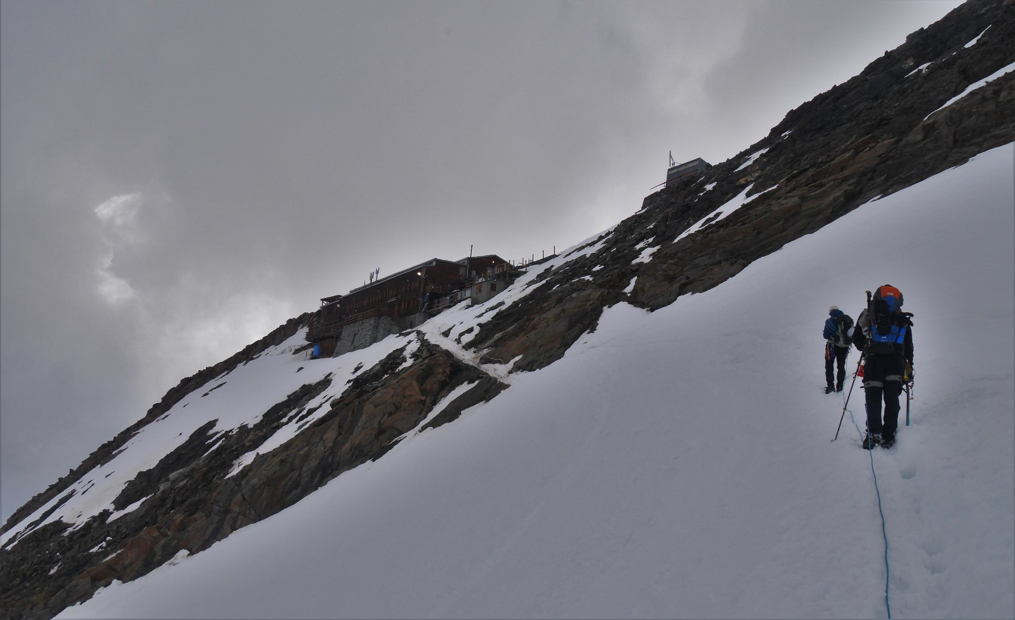
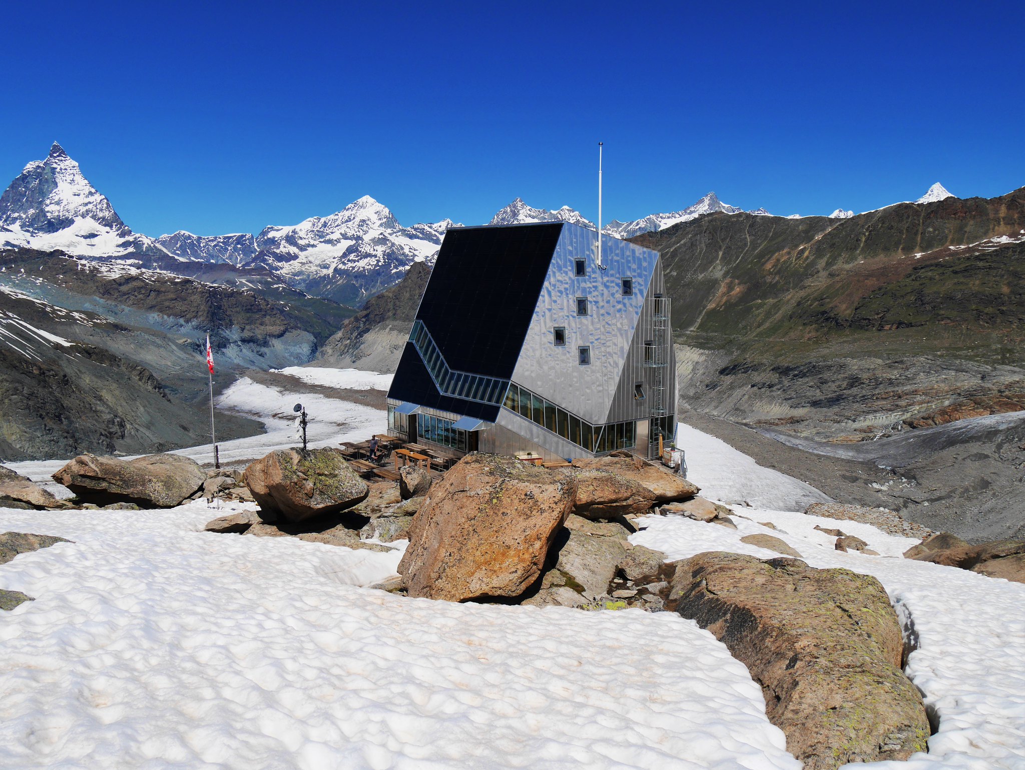
Day 4. Monday 27thRifugio Gniffeti (3647m) to the Margaerita Hut (4554m) (Highest hut in the Alps)Taking in Ludwigshöhe, (4342m) en route.Warm and sunny.
Today we would climb to some of the highest mountains in the Alps, one of them spectacularly capped by a mountain hut, this would be the highpoint and highlight of our trek, we had preyed for good weather for our stay up here, luckily our prayers were answered, as we had perfect weather, visibility and a sunset to die for.
But it was bloody hard work getting there, much climbing up steep and deep fresh snow covered glaciers, we even climbed another mountain Ludwigshöhe en route.
 Climbers leaving the Refuge Gnifetti (3647m)
 by
Alan, on Flickr
 Early morning view from the Refuge Gnifetti (3647m) (2)
 by
Alan, on Flickr
 Leaving the Refuge Gnifetti (3647m)
 by
Alan, on Flickr
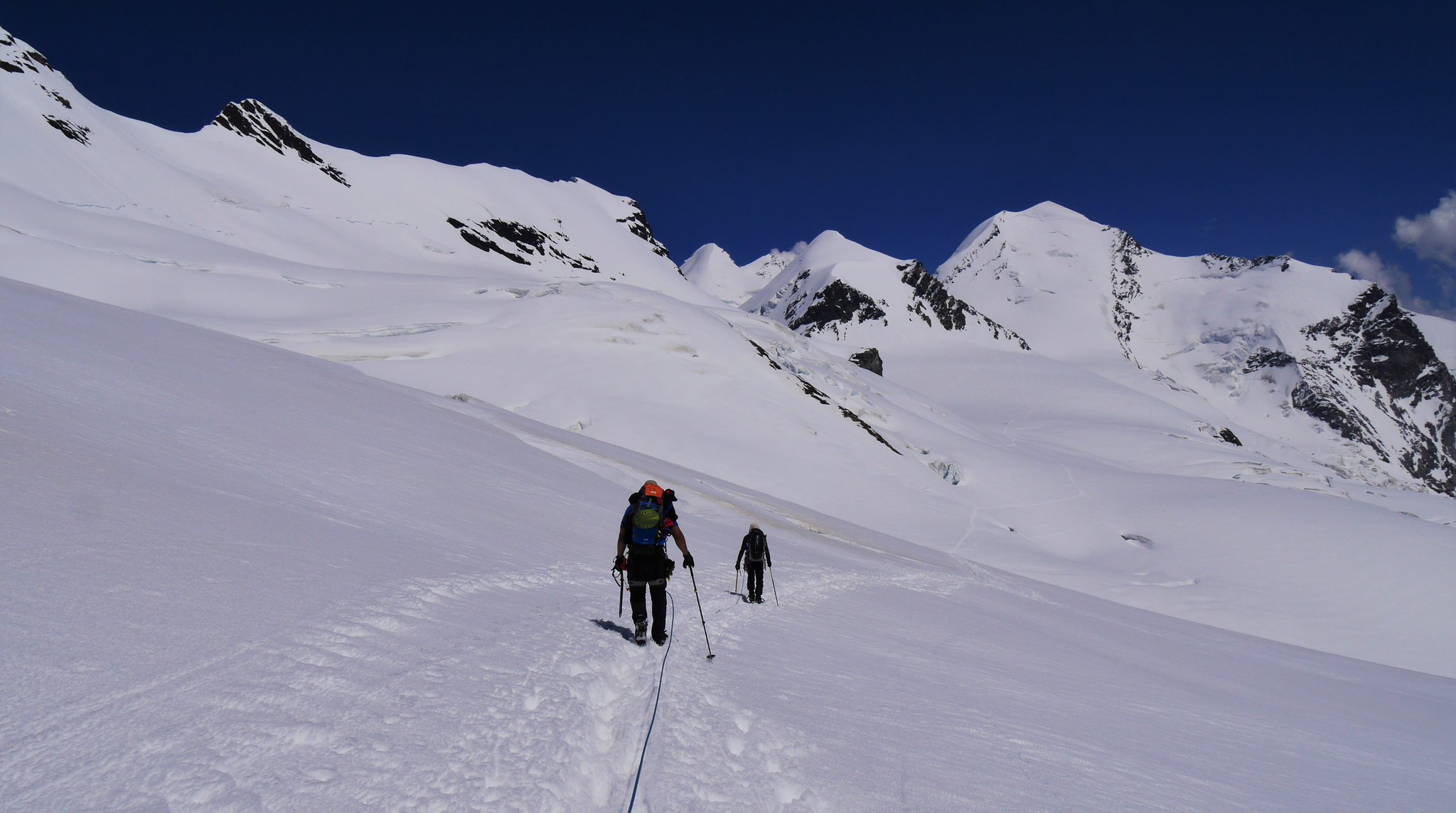
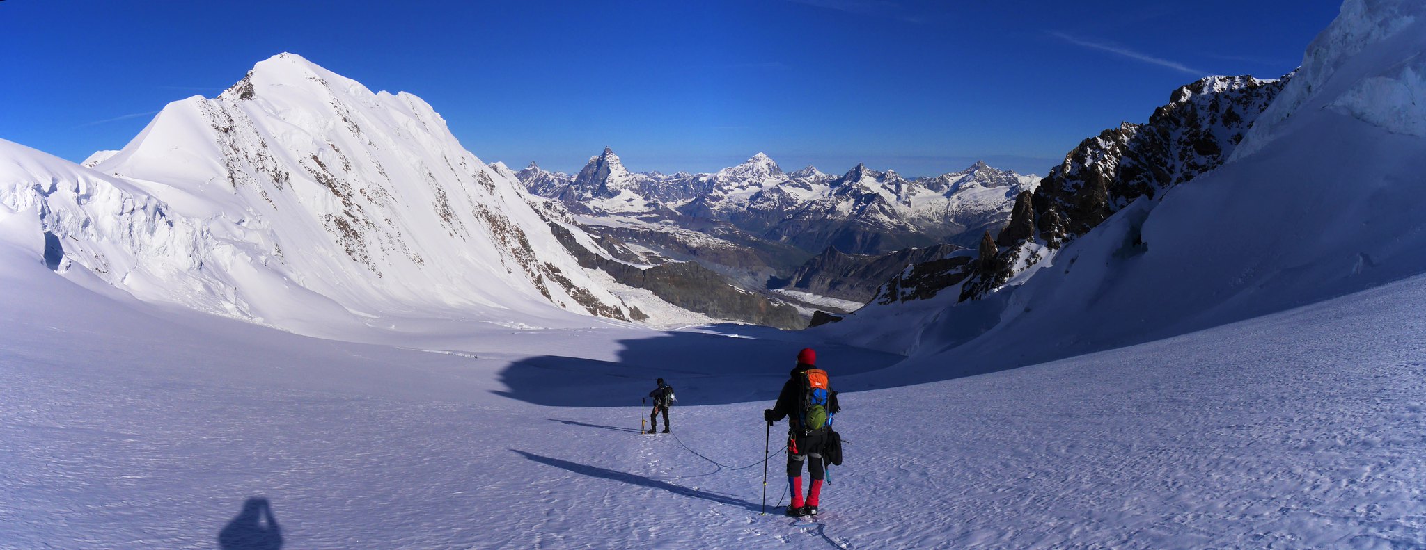
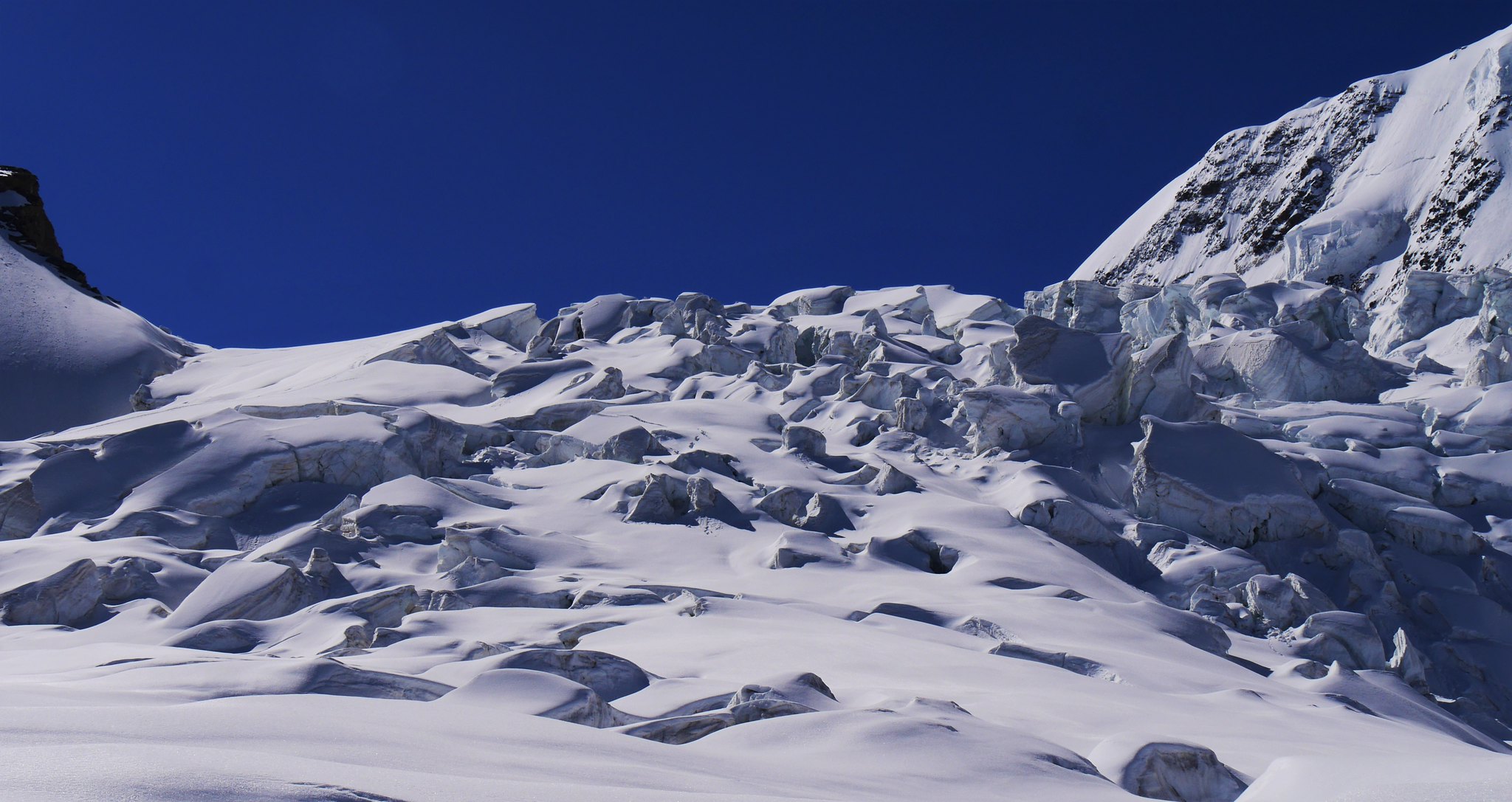
 Glacier walking (1)
 by
Alan, on Flickr
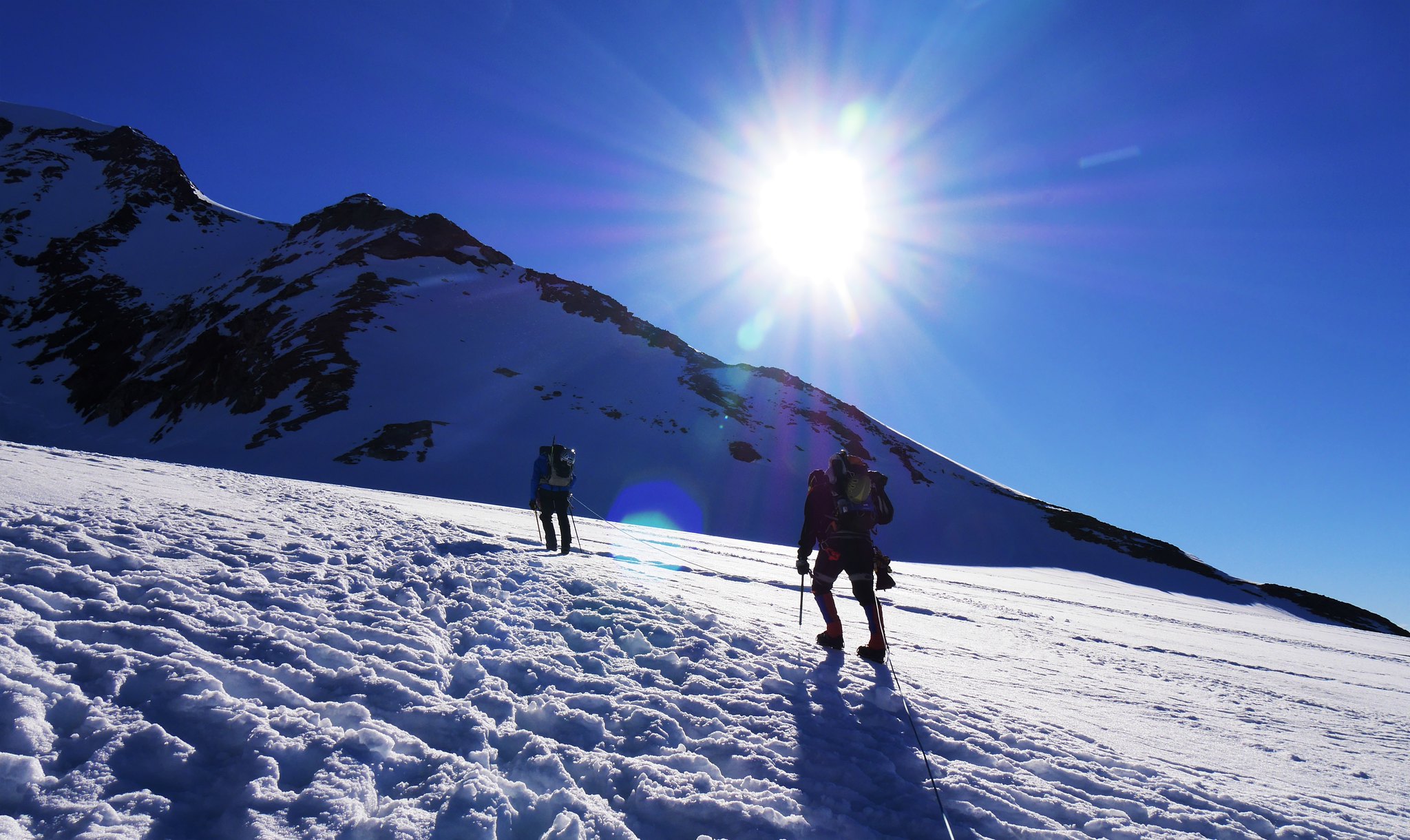 Glacier walking (2)
 by
Alan, on Flickr
 Refuge Gnifetti (3647m) (1)
 by
Alan, on Flickr
 Refuge Gnifetti (3647m) (2)
 by
Alan, on Flickr
 Glacier walking
 by
Alan, on Flickr
 View to Mont Blanc in the distance
 by
Alan, on Flickr
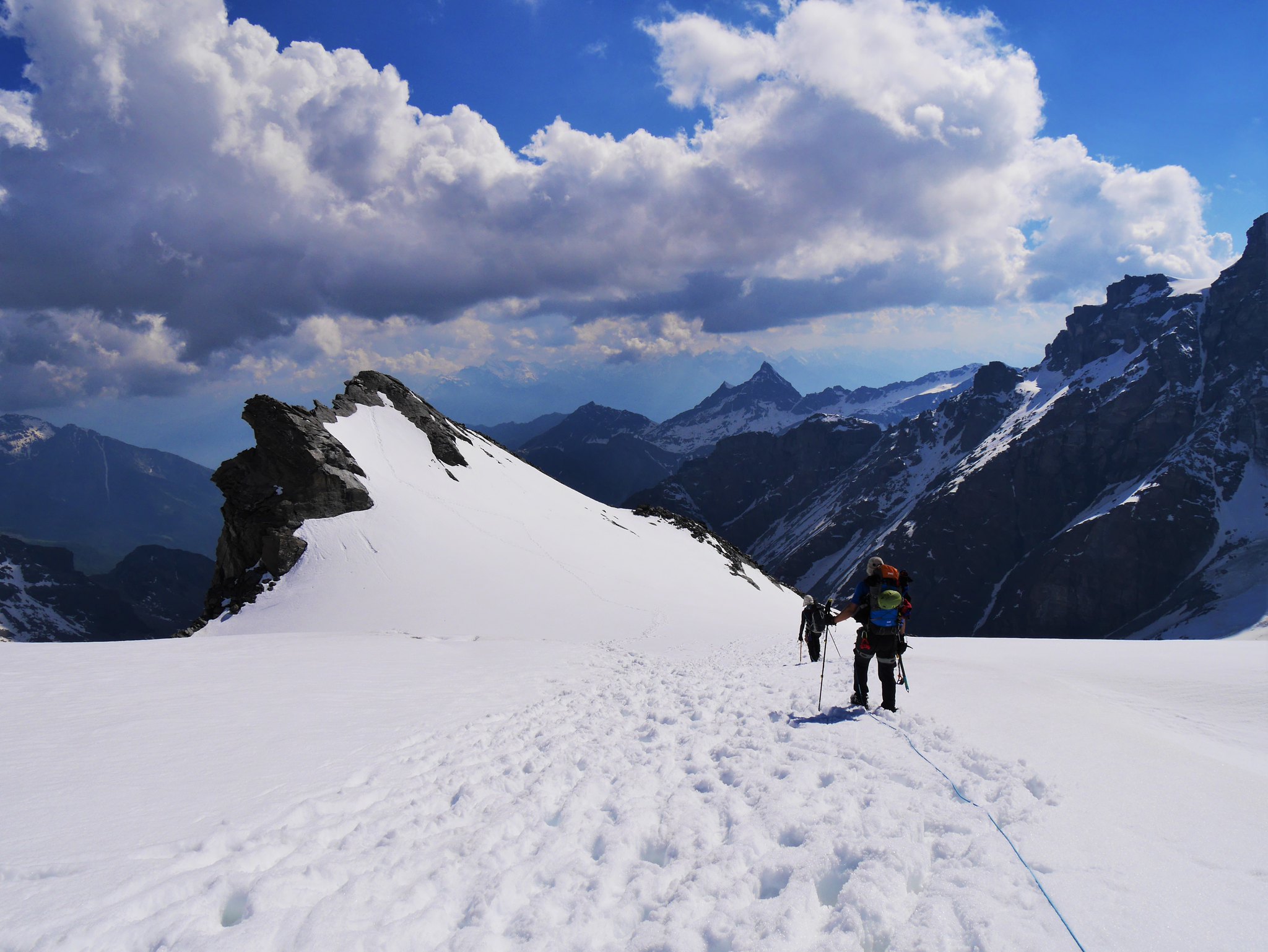
 Glacier walking (3)
 by
Alan, on Flickr
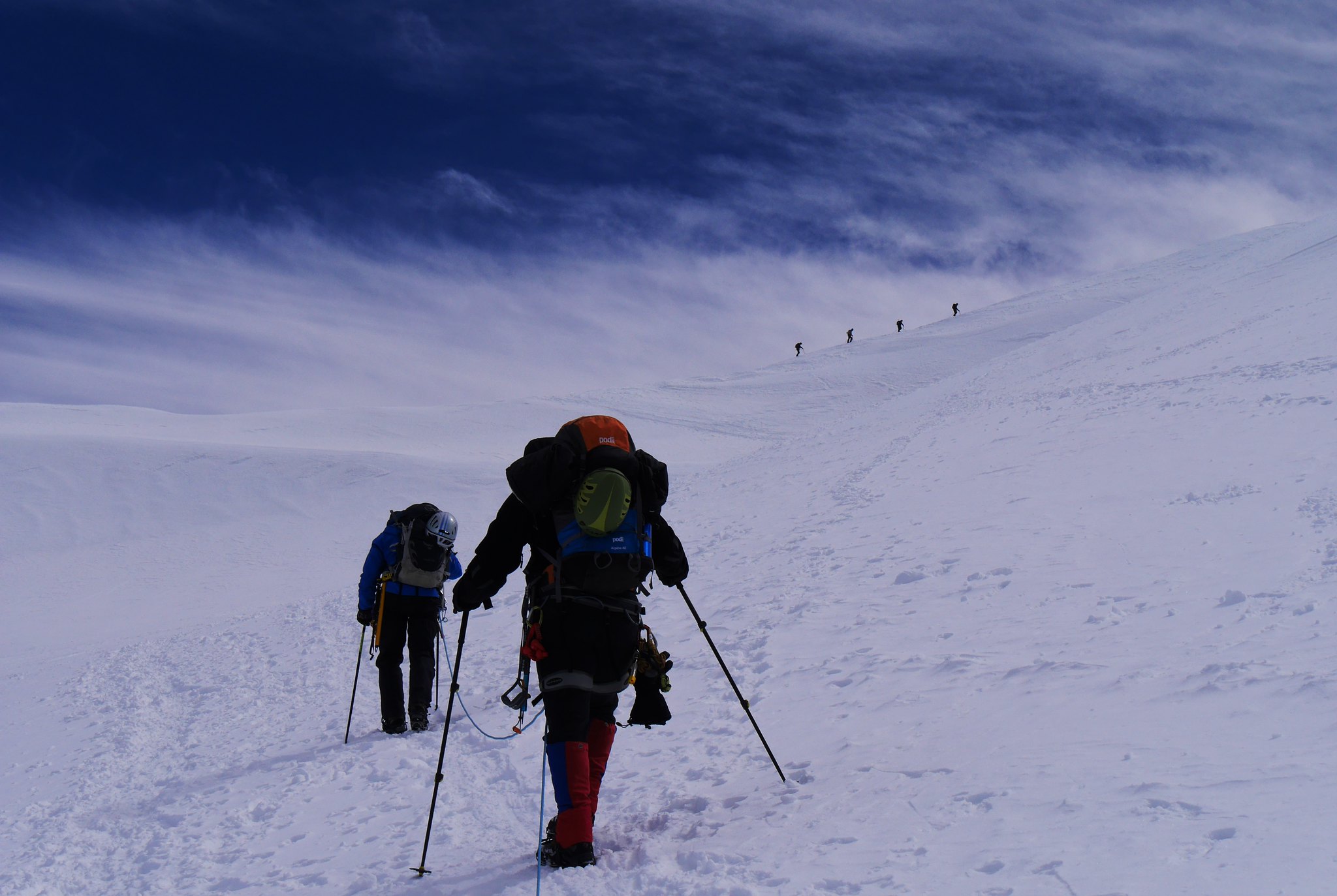 Glacier walking (4)
 by
Alan, on Flickr
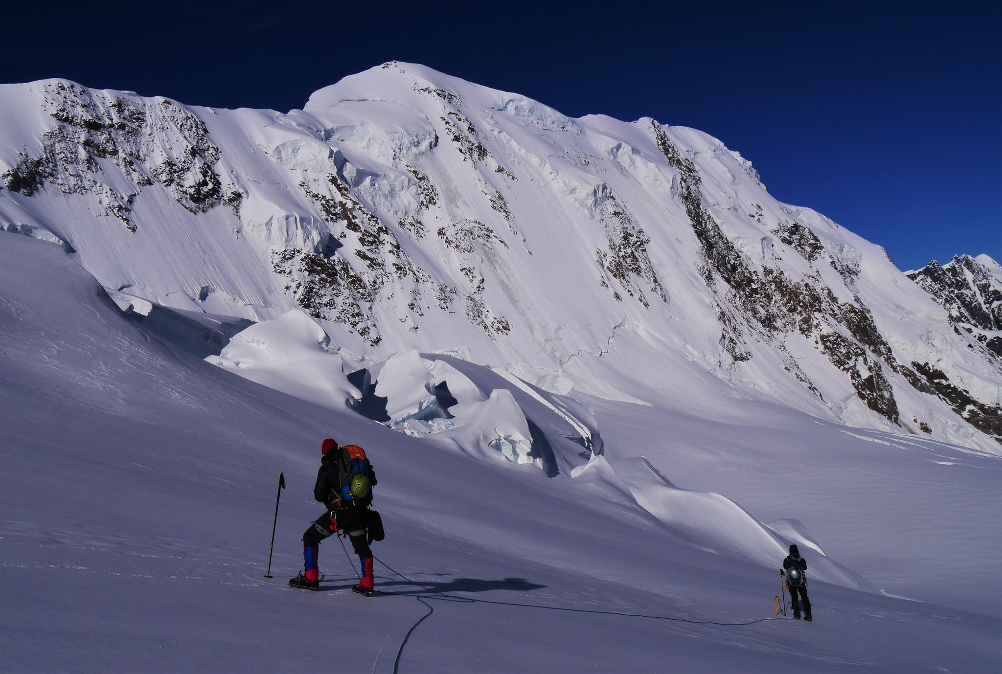
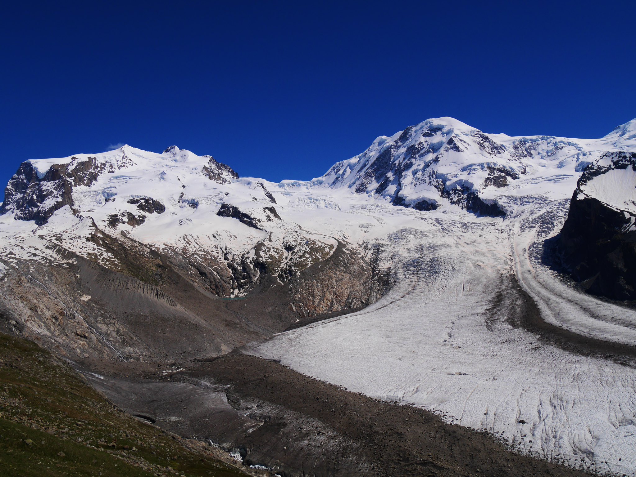
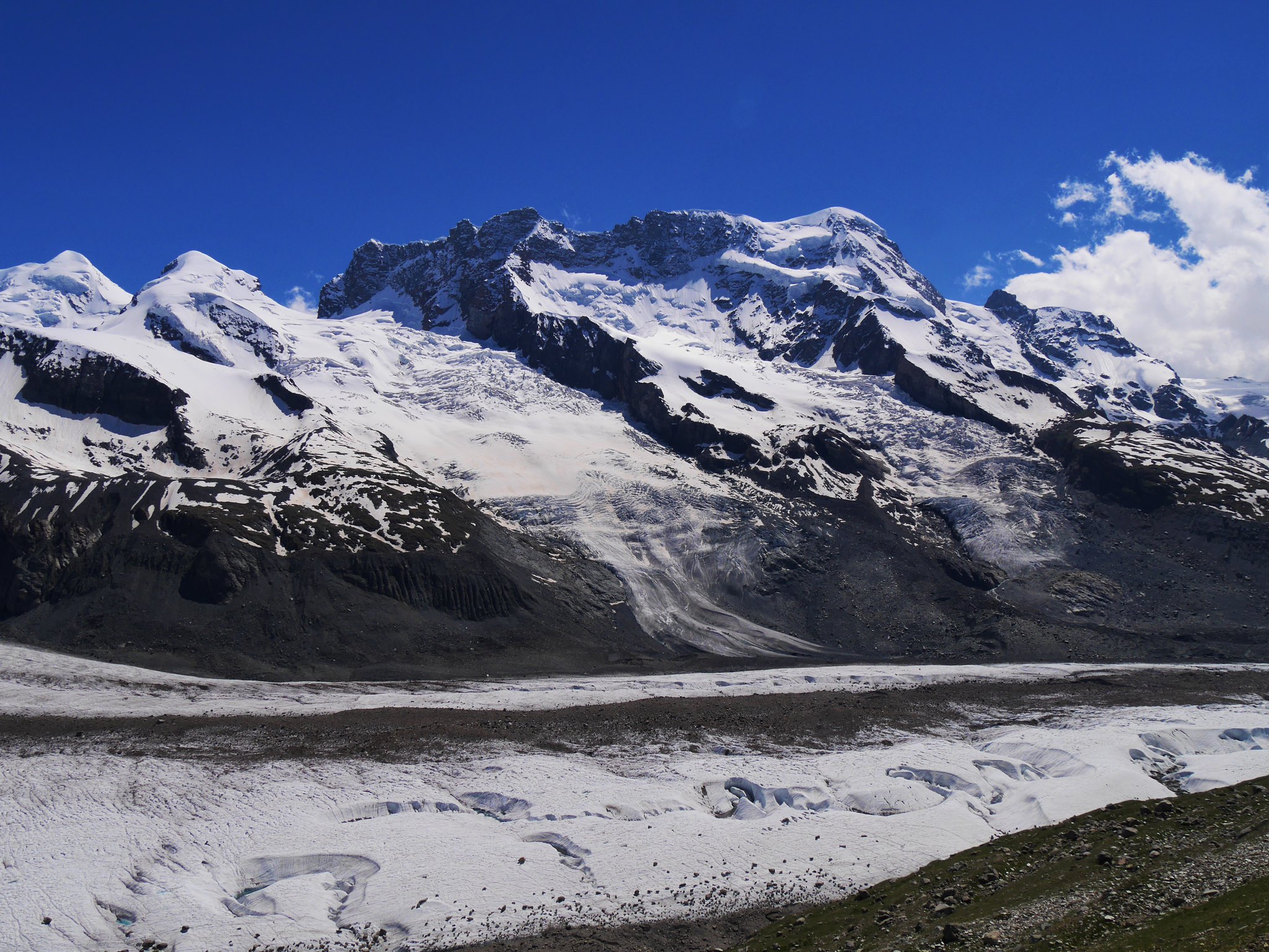
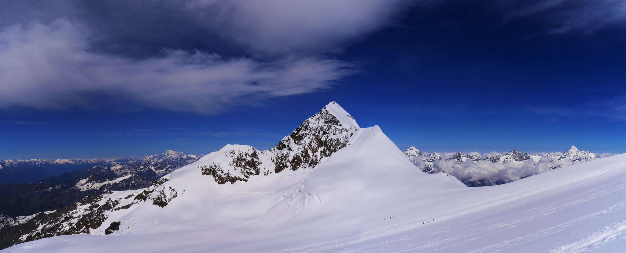 Liskamm (4479m) (2)
 by
Alan, on Flickr
 Ludwgshohe summit (4341m) (2)
 by
Alan, on Flickr
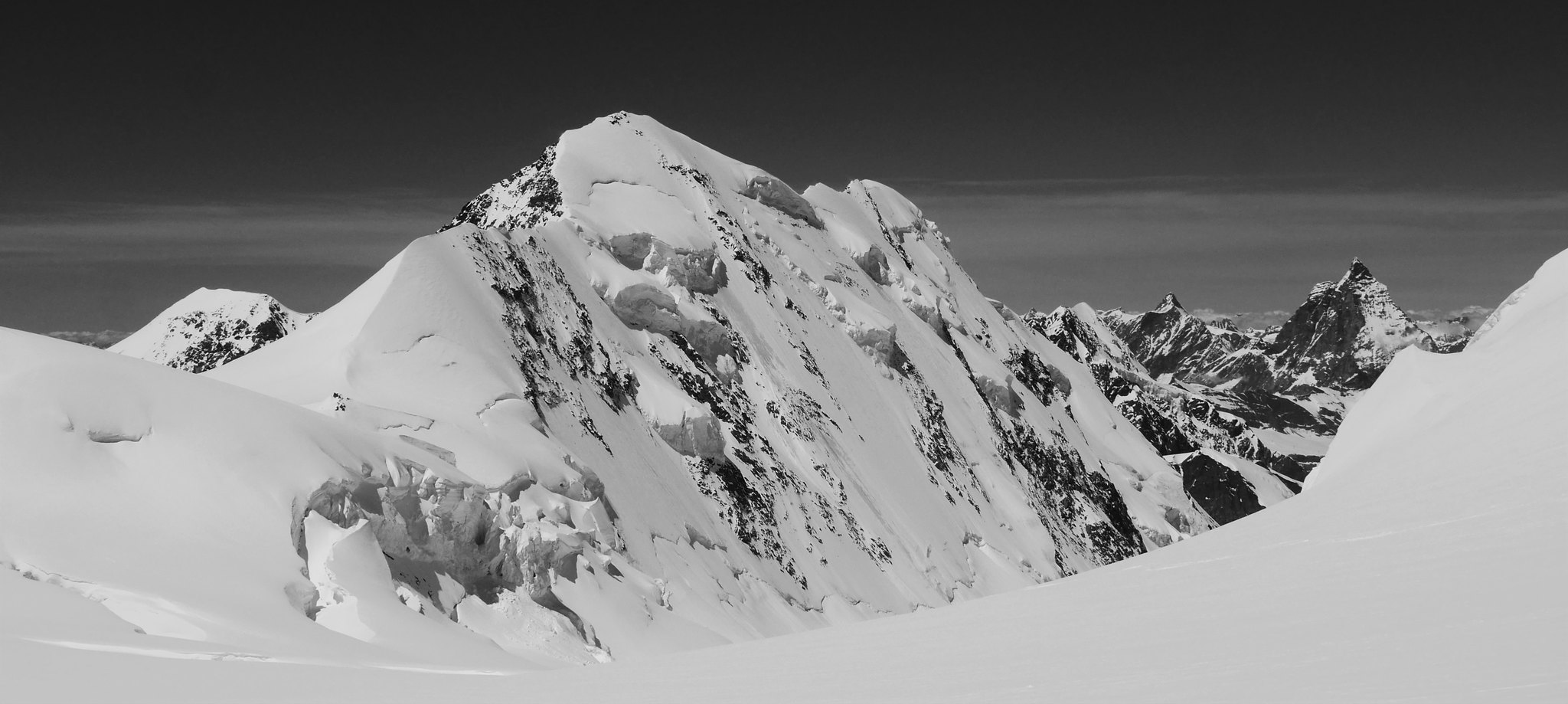 Liskamm (4479m)
 by
Alan, on Flickr
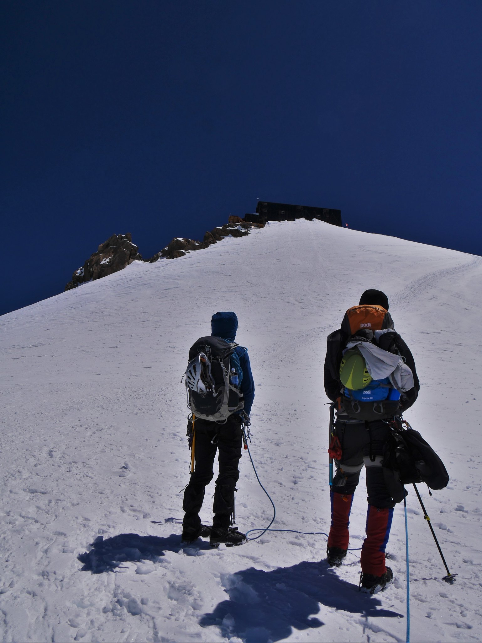 Last push to the Margherita Hut (4559m)
 by
Alan, on Flickr
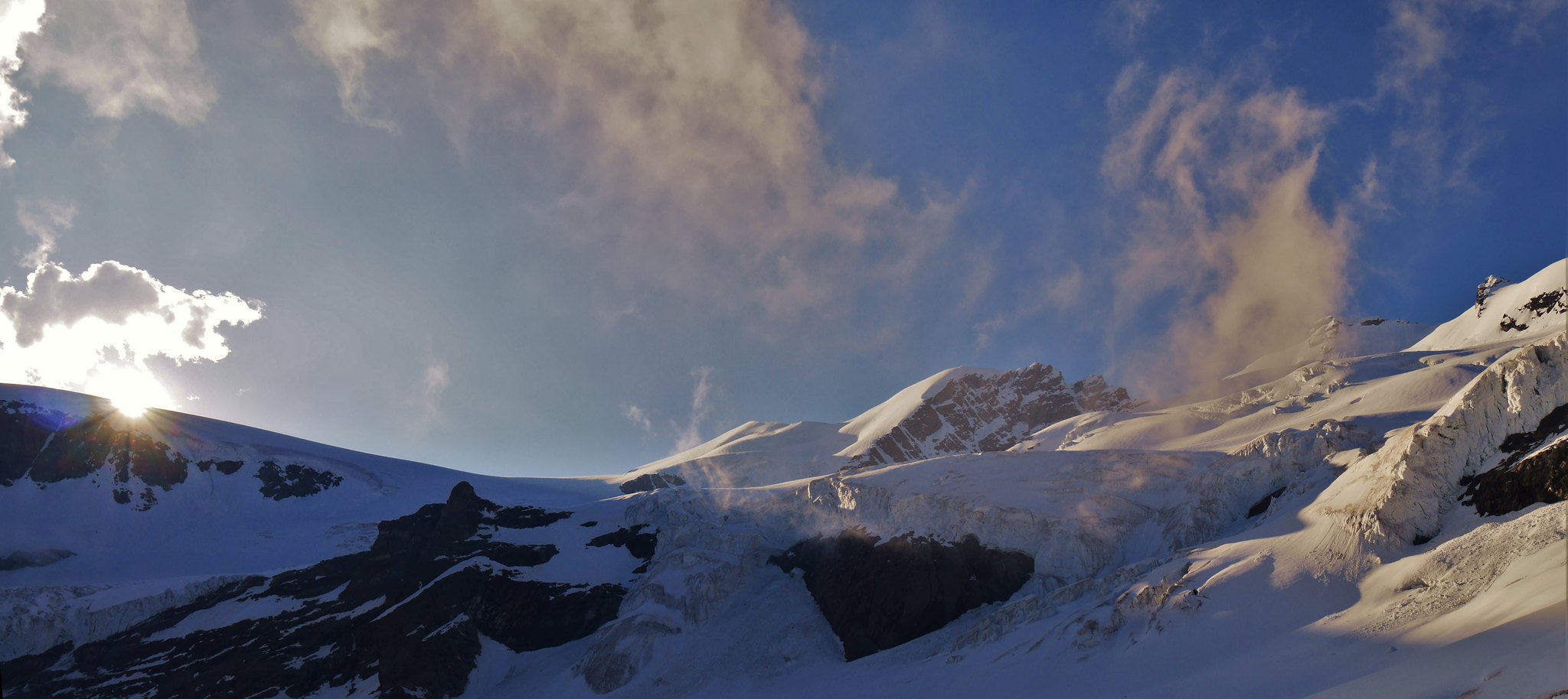
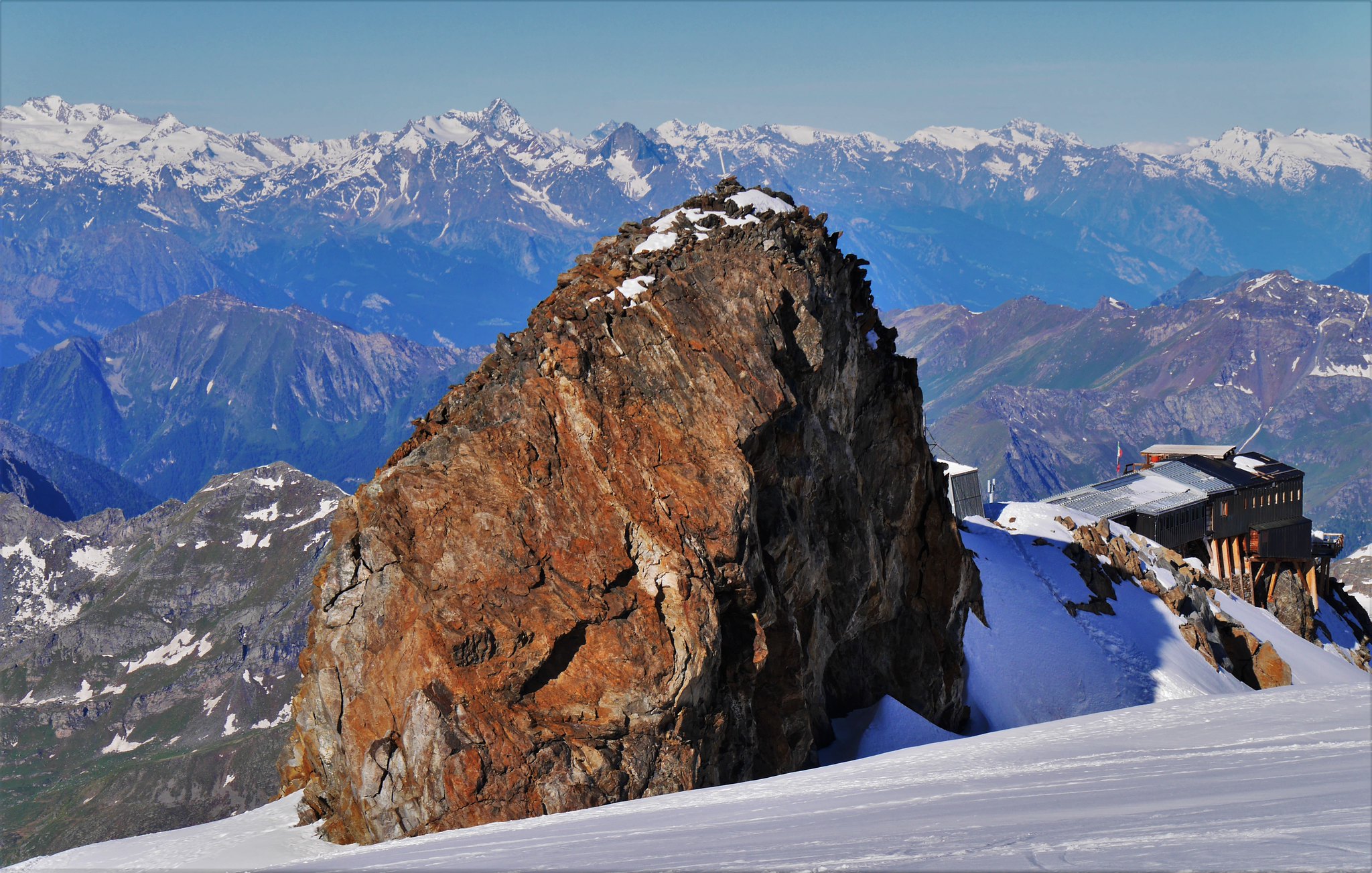
 Views from the Margherita Hut (4559m) (1)
 by
Alan, on Flickr
 Views from the Margherita Hut (4559m) (2)
 by
Alan, on Flickr
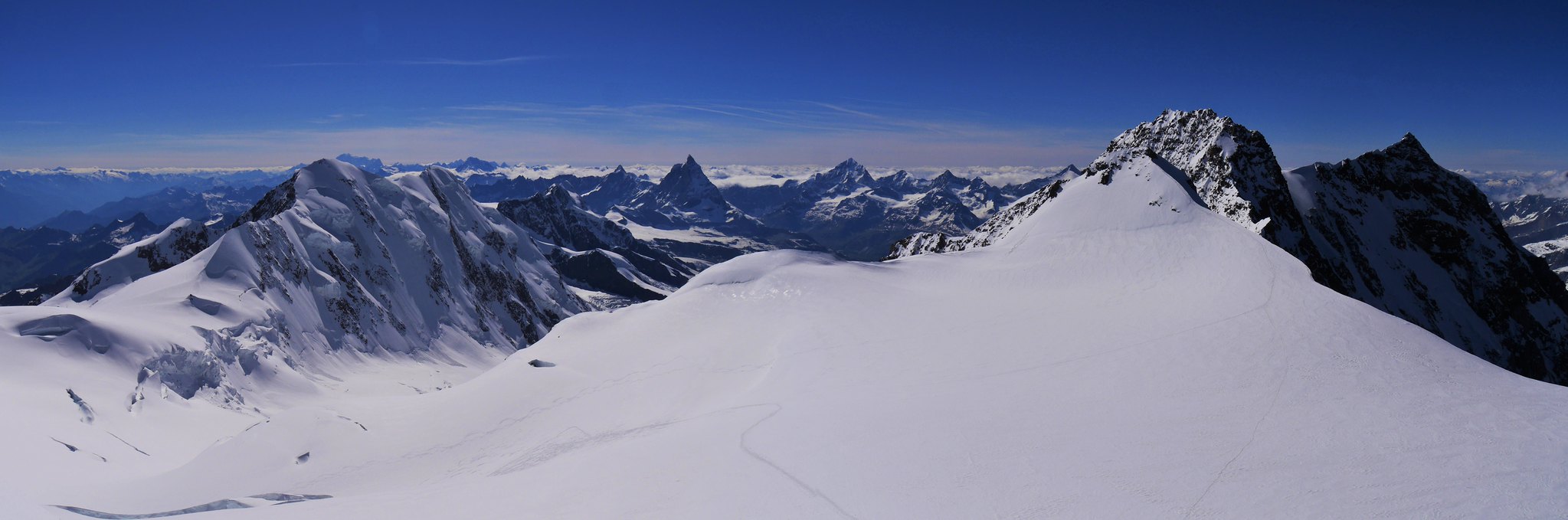 Views from the Margherita Hut (4559m) (3)
 by
Alan, on Flickr
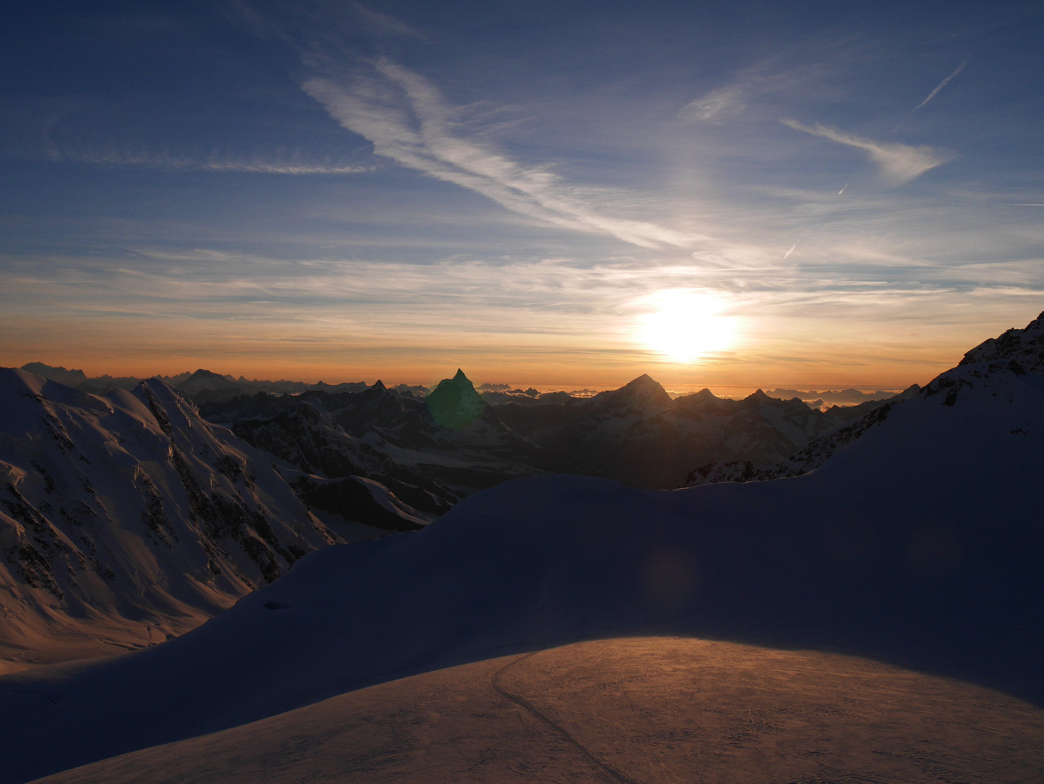 Margherita Hut (4559m) Sunset (1)
 by
Alan, on Flickr
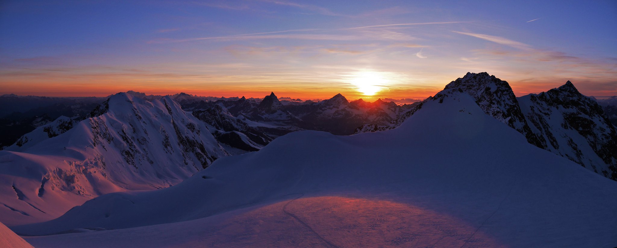 Margherita Hut (4559m) Sunset (2)
 by
Alan, on Flickr
 Margherita Hut (4559m) Sunset (3)
 by
Alan, on Flickr
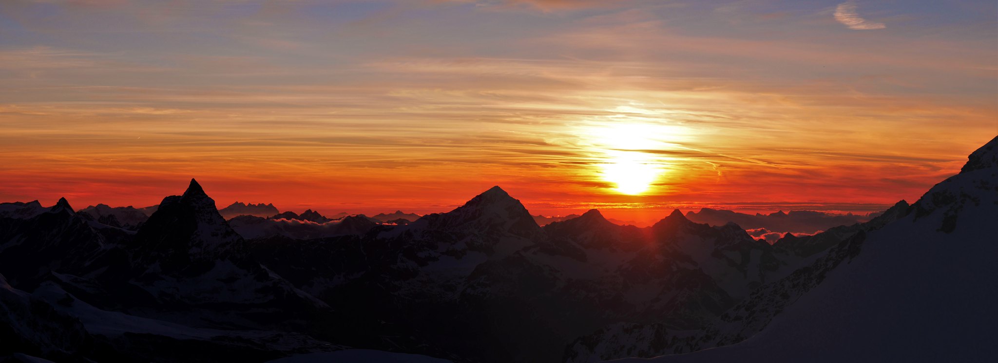
 Margherita Hut (4559m) Sunset (4)
 by
Alan, on Flickr
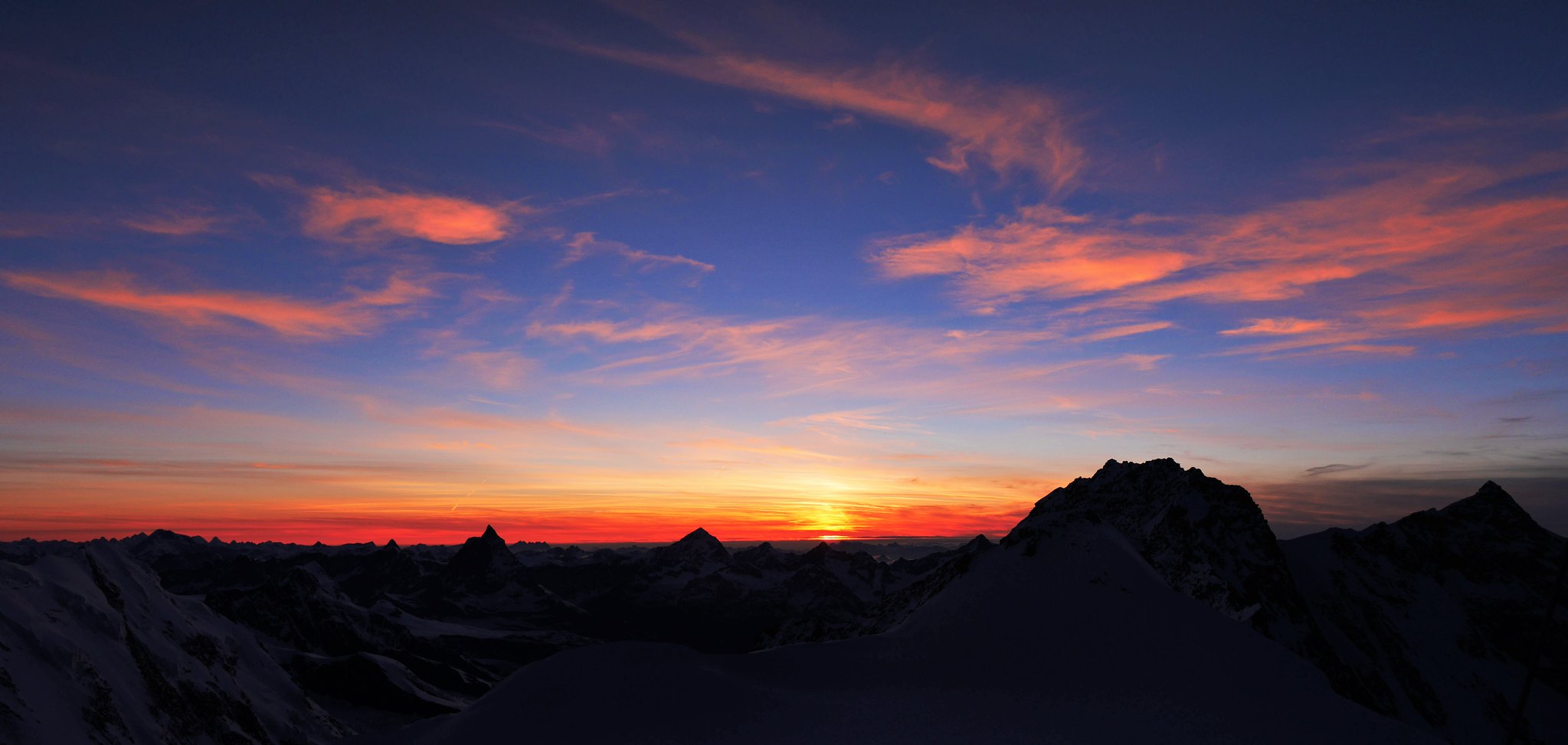 Margherita Hut (4559m) Sunset (5)
 by
Alan, on Flickr
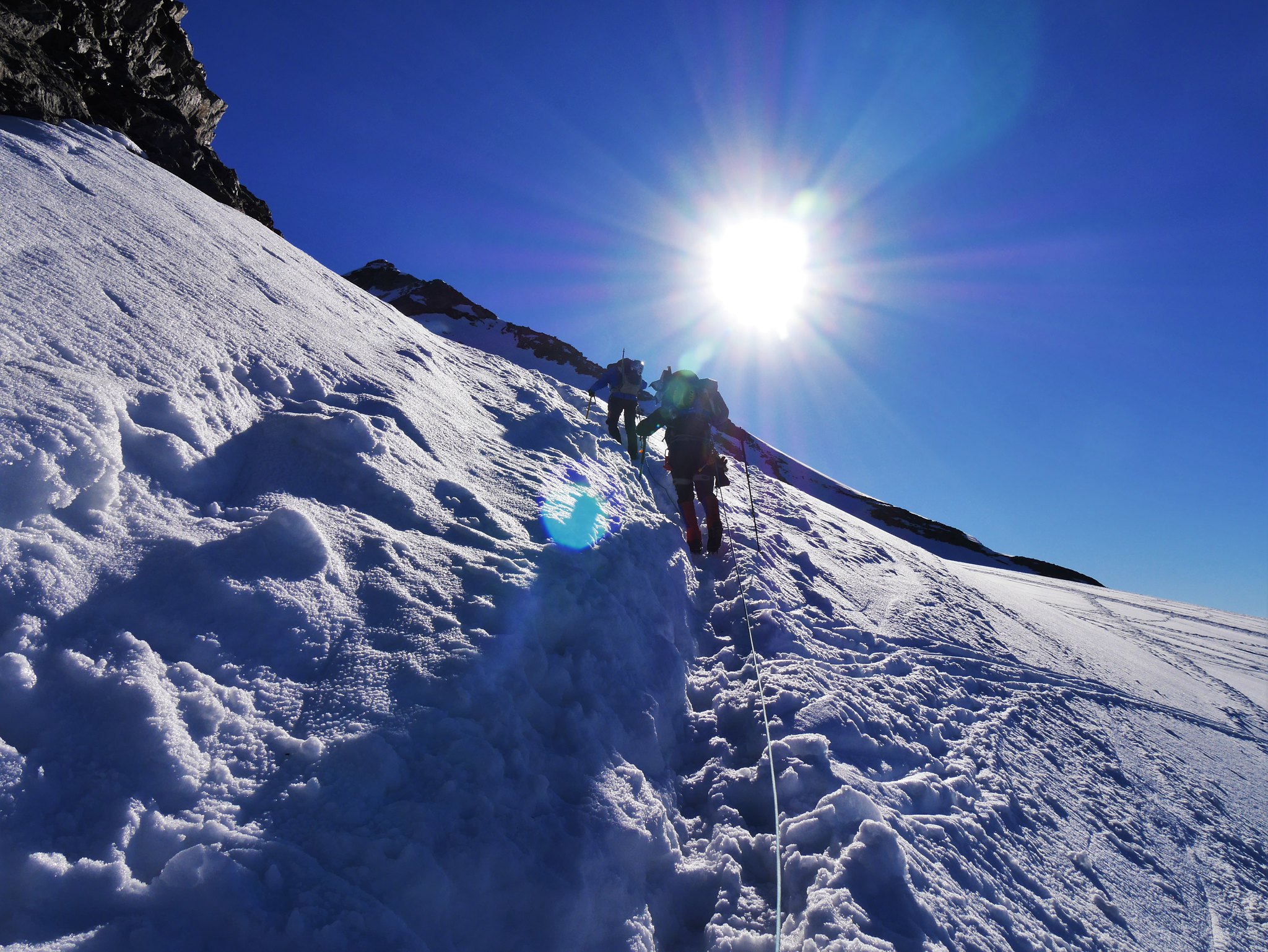
Day 5. Tuesday 28thMargharita (4554m )- Monte Rosa Hütte - Gornergrat Railway – Zermatt.Sunny. Cold up high, but hot again lower down the glacier.
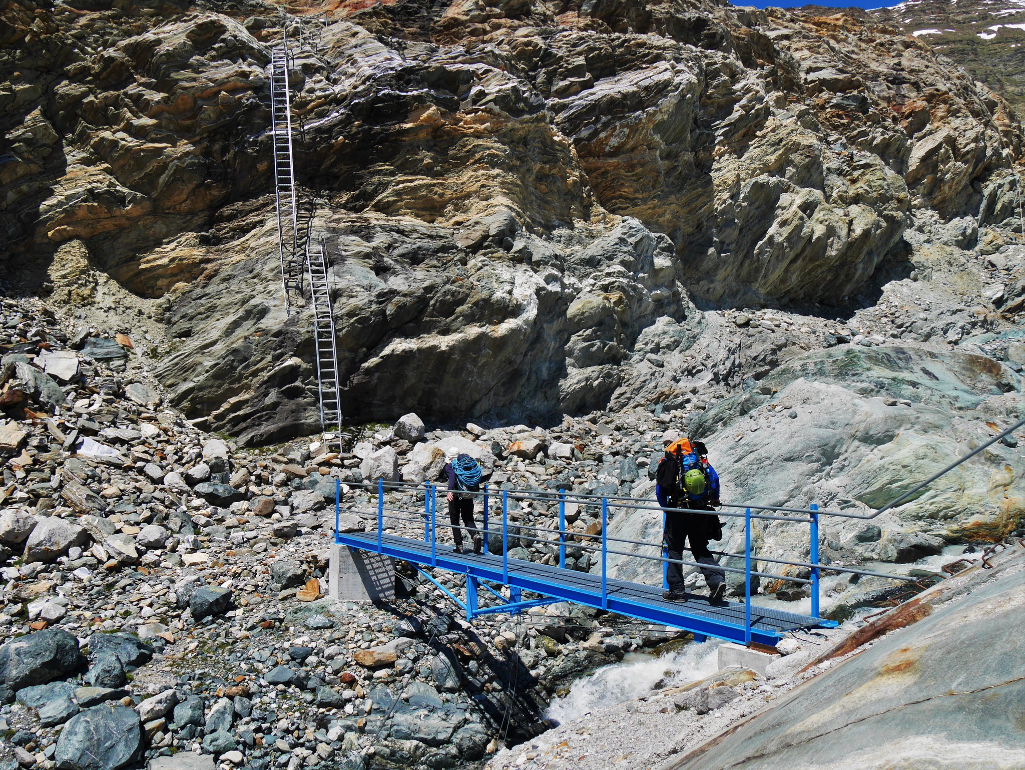
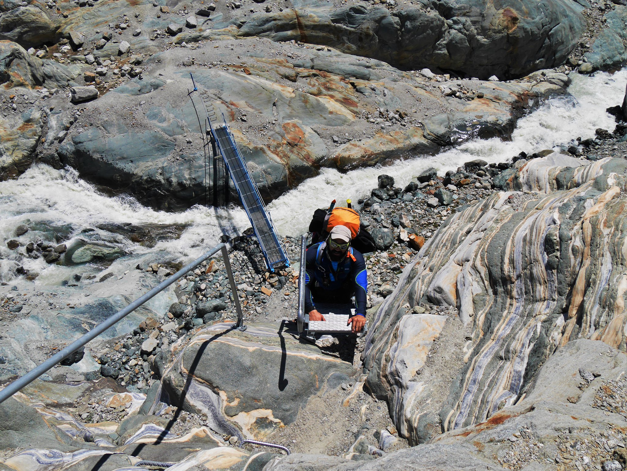
We left the hut on another breathtaking day, the walk down the Monte Rosa glacier was a treat, with just a few crevasses to weave our way through. Once at the Monte Rosa hut the terrain changed, first to steep snow slopes, then horrible moraine boulder fields, followed by a dry glacier with massive crevasse crumbling at the edges, all of this making for very tiring walking. Once across the glacier we climbed ladders and scrambled up rock ledges to reach the path that would take us up to the Gornergrat railway, and a well deserved leisurely journey back to Zermatt.
What a fantastic trip it was. We were lucky with the weather, these trips have to be booked well in advance, if we would have had bad weather it would have been called off for sure, it's not the terrain to be in any type of bad weather, not for us anyway.
And a big thanks to Martin and Nathan for making it such a memorable trip.

 Climbers leaving the Margherita Hut (4559m)
 by
Alan, on Flickr
 Early morning views from Margherita Hut (4559m) (1)
 by
Alan, on Flickr
 Early morning views from Margherita Hut (4559m) (2)
 by
Alan, on Flickr
 Leaving the Margherita Hut (4559m)
 by
Alan, on Flickr
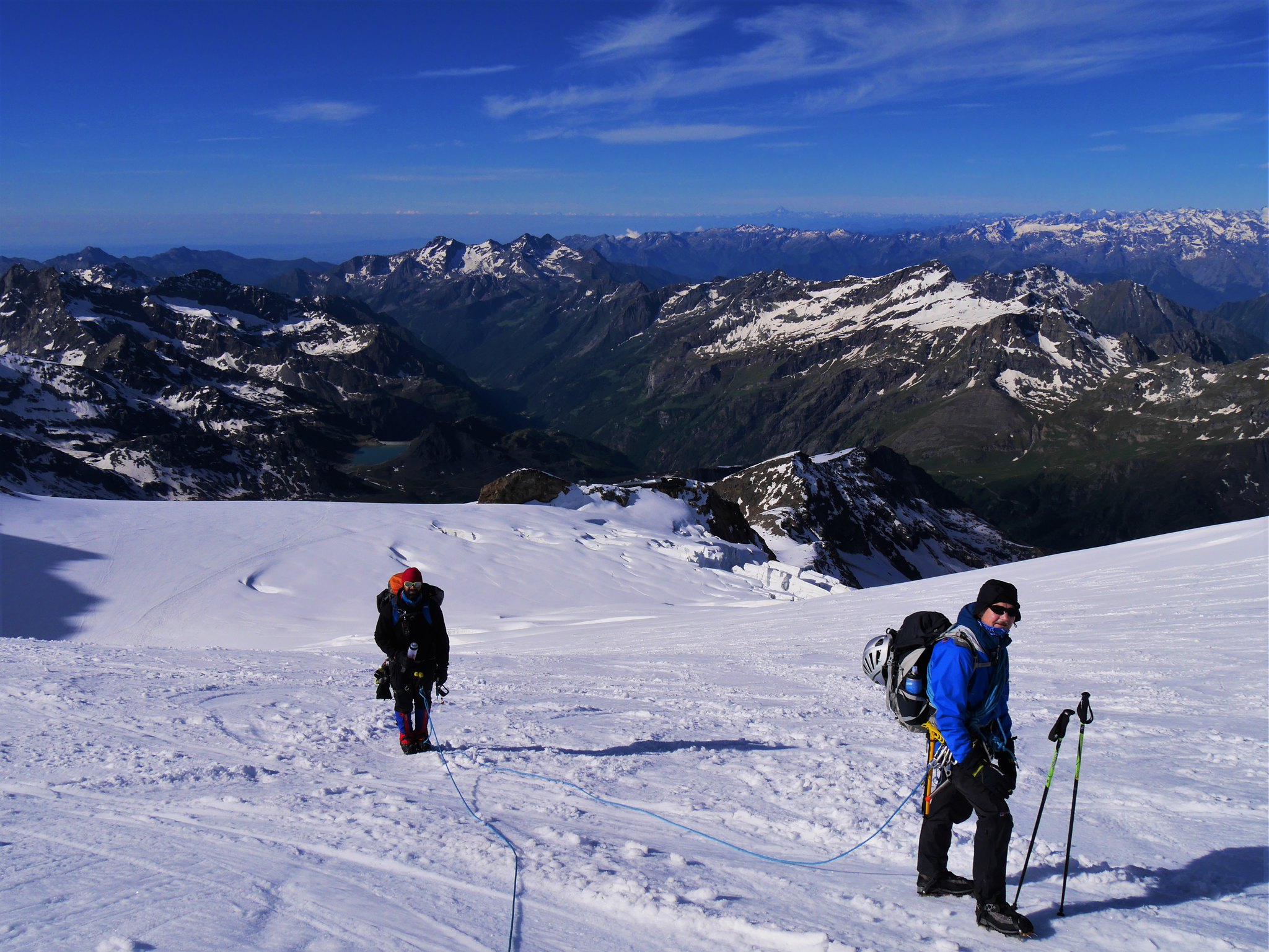
 Monta Rosa glacier (2)
 by
Alan, on Flickr
 Monta Rosa glacier (3)
 by
Alan, on Flickr
 Monta Rosa glacier (4)
 by
Alan, on Flickr
 Monta Rosa glacier (5)
 by
Alan, on Flickr
 Monta Rosa glacier (6)
 by
Alan, on Flickr
 Monta Rosa glacier (7)
 by
Alan, on Flickr
 Monta Rosa Hut (2)
 by
Alan, on Flickr
 Monta Rosa glacier (8)
 by
Alan, on Flickr
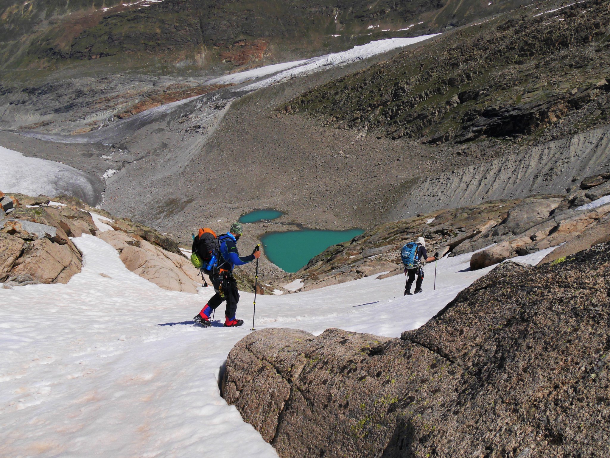
 Gornersee Lake (1)
 by
Alan, on Flickr
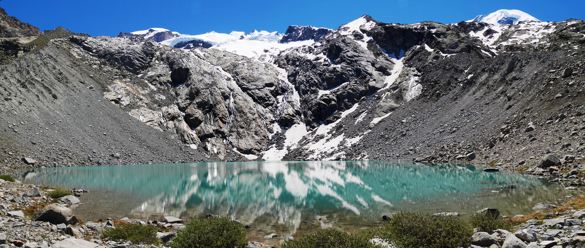
 Gornersee Lake (3)
 by
Alan, on Flickr
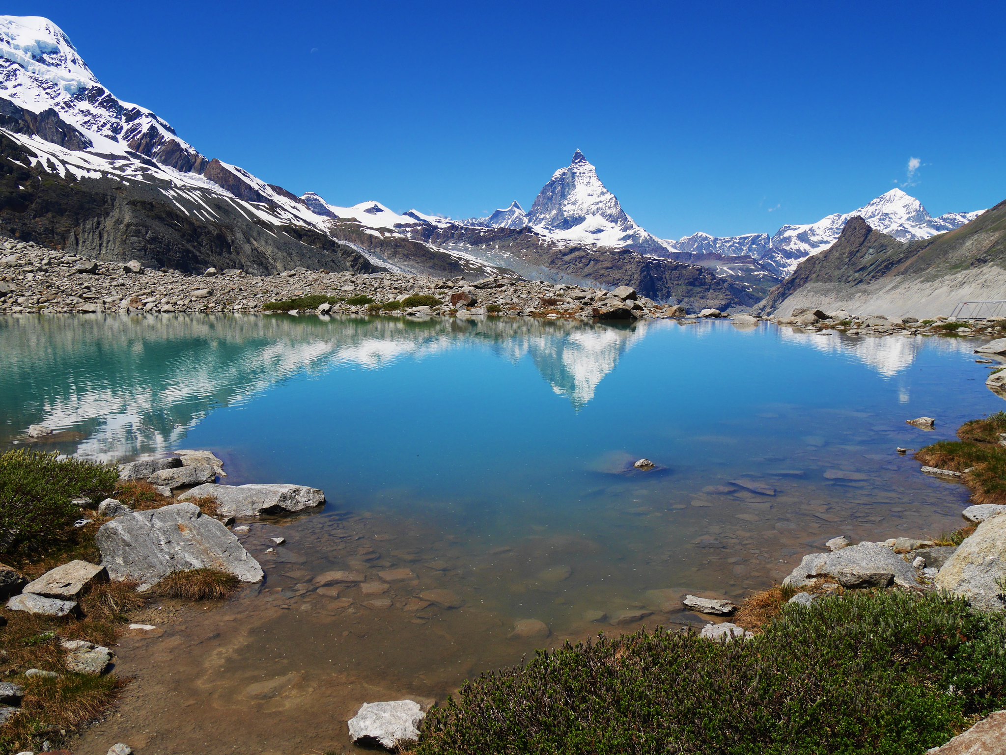
 Gornersee Lake (4)
 by
Alan, on Flickr
 Gornersee Lake (5)
 by
Alan, on Flickr
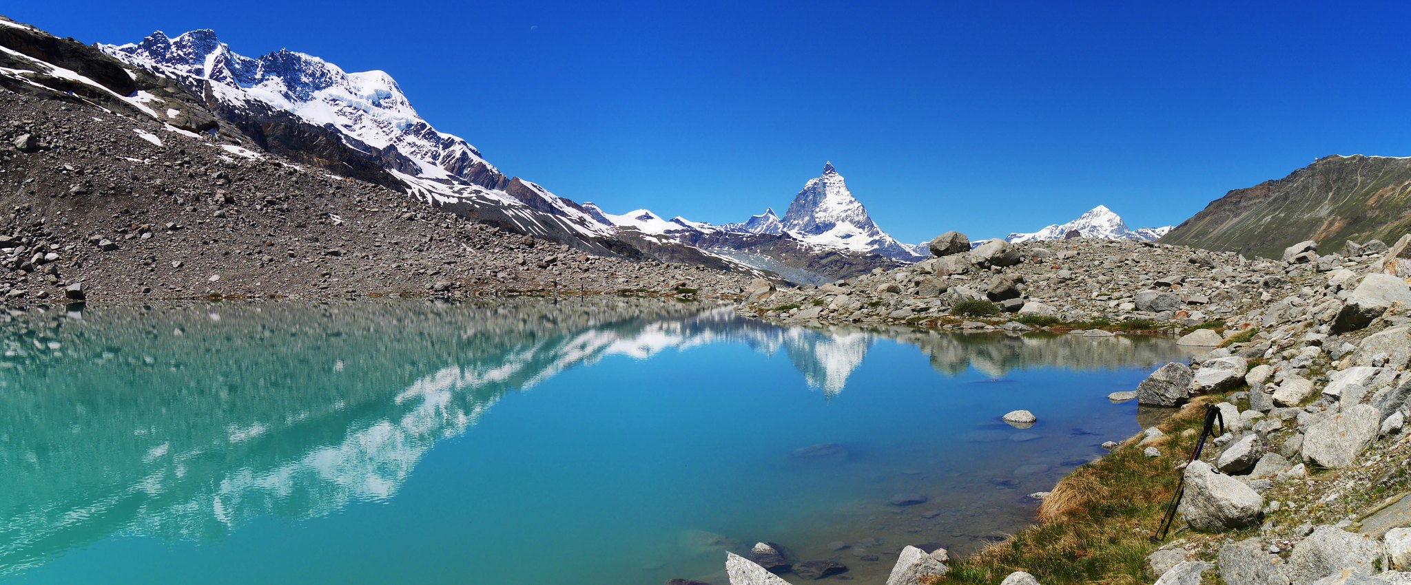
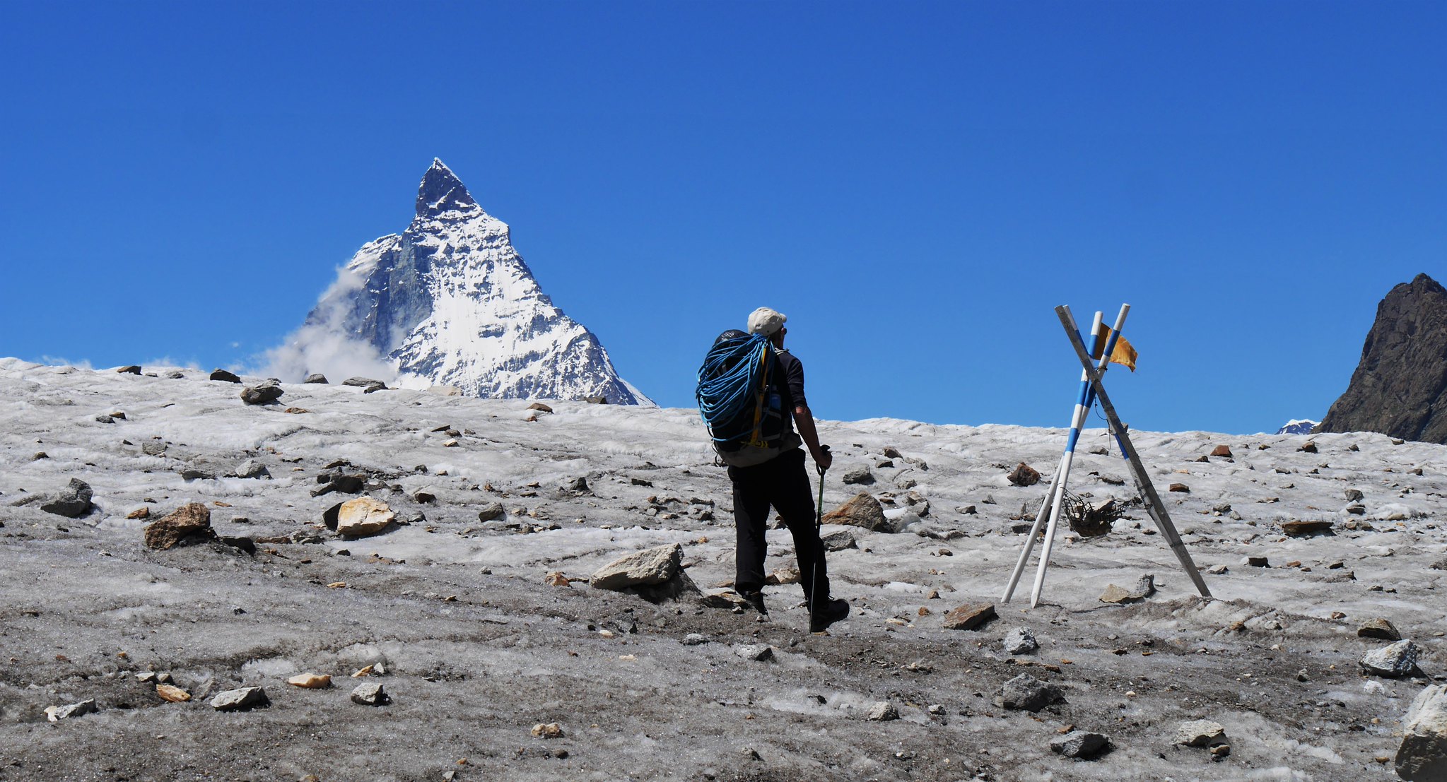 Matterhorn from the Monta Rosa glacier
 by
Alan, on Flickr
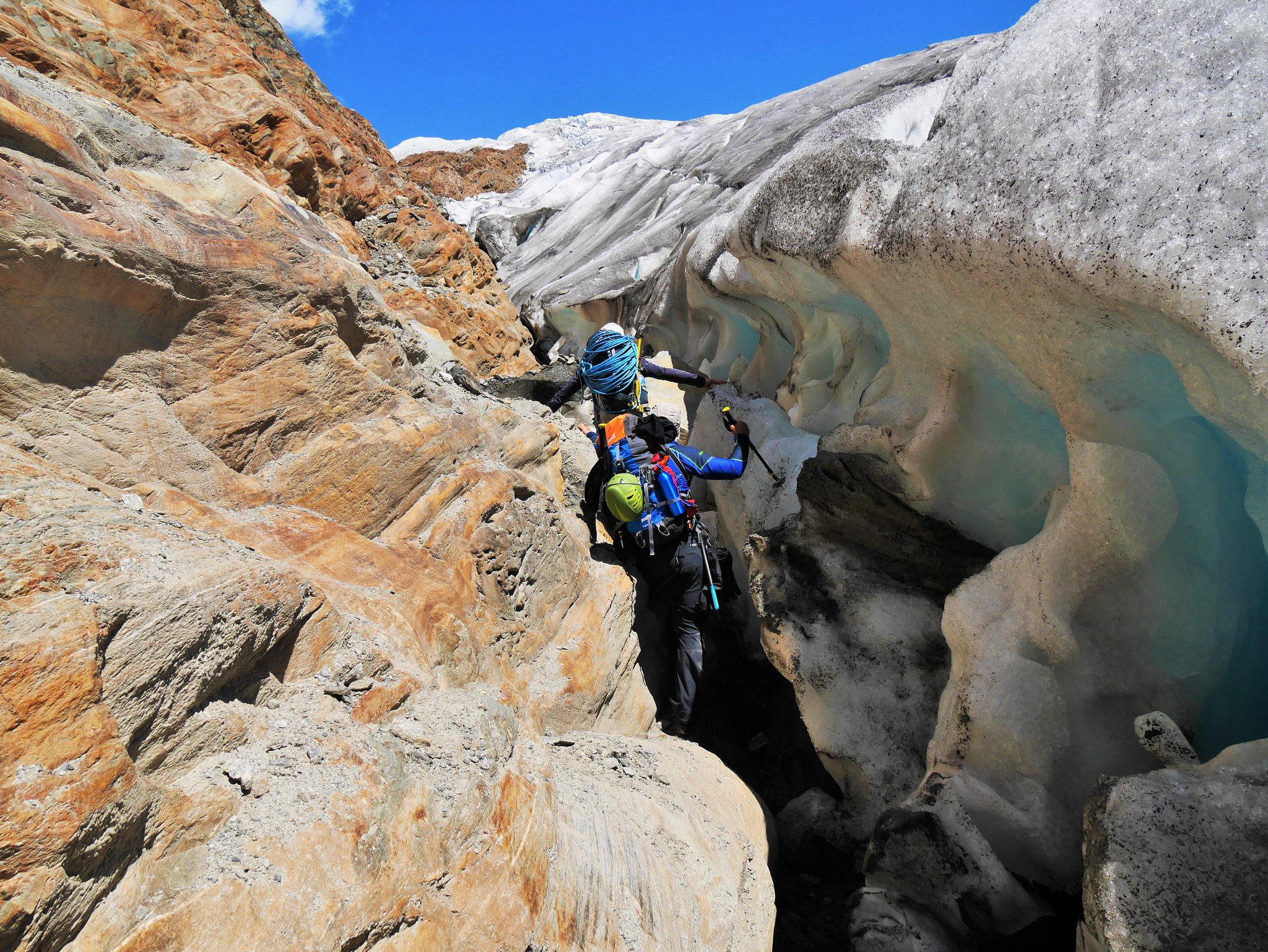 A tricky traverse on the edge of the Monta Rosa glacier
 by
Alan, on Flickr
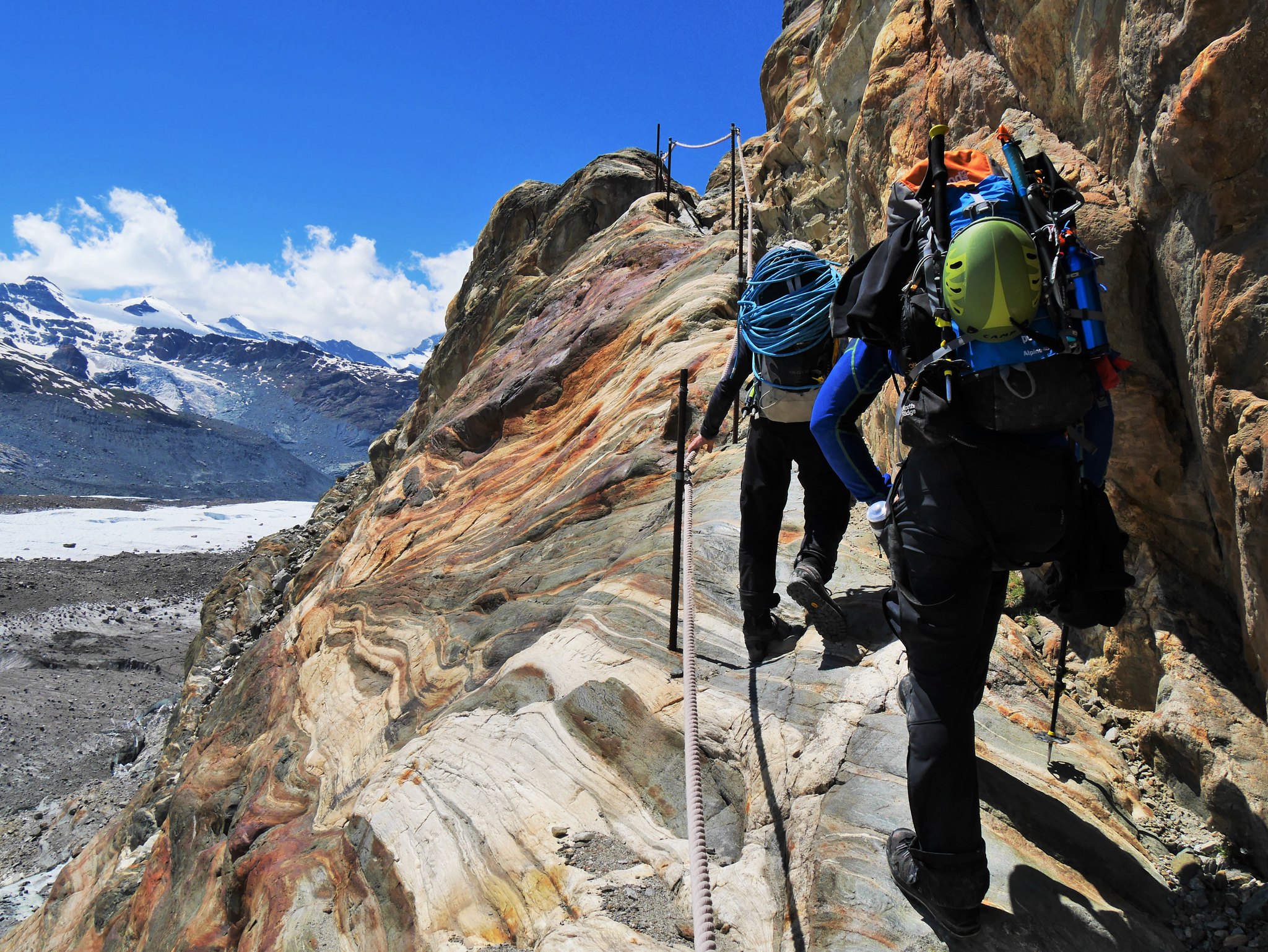 The lower path to Gornergrat (1)
 by
Alan, on Flickr
 The lower path to Gornergrat (2)
 by
Alan, on Flickr
 The lower path to Gornergrat (3)
 by
Alan, on Flickr
 Looking back up the Monte Rosa Glacier
 by
Alan, on Flickr
 The Breithorn.
 by
Alan, on Flickr
My video of this trip is here....https://youtu.be/7JR0mlbFDmk
