free to be able to rate and comment on reports (as well as access 1:25000 mapping).
Hewitts: Tarren y Gesail, Tarrenhendre
Date walked: 03/12/2011
Time taken: 6 hours, 20 minutes
Distance: 25 km
Ascent: 1300m
Weather: Breezy, some spots of sunshine, occasional drop of rain
Usually at this time of the year, the works christmas night out is on a Saturday, allowing me to get in a good walk before enjoying a few beers. This year however, it was on the Friday night and I got rather carried away with the free wine. Getting up the next day for the 8:45 train was a bit painful, even though the station is only just across the road. I had planned to enjoy the scenery on the 2 hour journey and maybe sit back and have a coffee. I managed all of this to some extent, but trying to get some more sleep and a couple of tactical chunders into the toilet also crept onto the agenda

. All a bit embarrassing as I have been pretty good at avoiding this kind of nonsense for the last few years.
It was definitely a good thing that I wasn't driving, but one minor irritation was that as the days get shorter, my start times seem to get later. Today was no exception, and I left the station via a bacon butty van at 10:45.
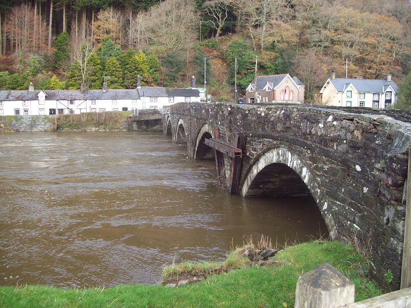
The weather was decidedly un-wintery as I walked up the road to the bridge over the Dyfi, but there did appear to be a lot of water around. A couple of minutes on the Aberdyfi road and I reached the minor lane which would lead me through the woods to my first summit.
Bridge over the Dyfi:
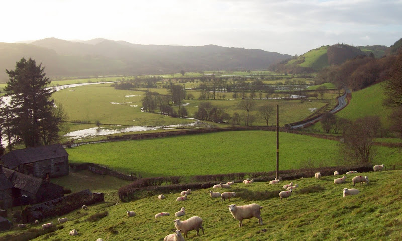
Looking west down the Dyfi Valley:
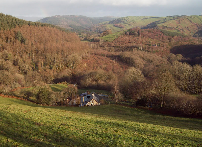
I was rather surprised to stumble across Bron yr Aur - the cottage that Page and Plant used to visit in the early days of Led Zeppelin. I knew it was in the Dyfi Valley, but always assumed it was up near Dinas Mawddwy somewhere. Nice views over Mid Wales from here, and it must have really opened their minds up, as they went on to write the imaginatively titled Bron yr Aur and...erm...Bron yr Aur Stomp
Bron yr Aur:
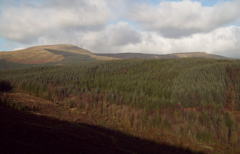
Beyond the cottage the road turned to track, and I got a view of Tarren y Gesail. It looked a fair way away, but I didn't mind, as the fresh air was slowly helping me recover. The sun was also out, which helped.
First view of Tarren y Gesail:
The footpath took short cuts between the zig-zagging track, and some parts of this were very muddy, particuarly where felling had taken place. The trees masked the view until I suddenly popped out on the SE ridge. I picked up the edge overlooking Cwm Darren and followed the rough grass up to the summit area, with good views opening up to Cadair Idris. Although this wasn't the most impressive angle from which to view Cadair Idris, it looks interesting from most directions.
Back down the SE ridge:
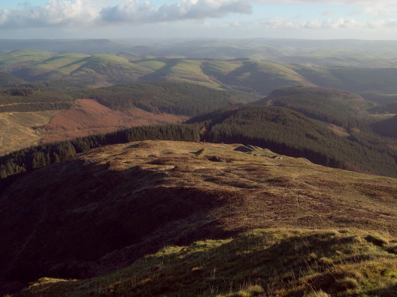
Across the head of Cwm Darren to Cadair Idris:
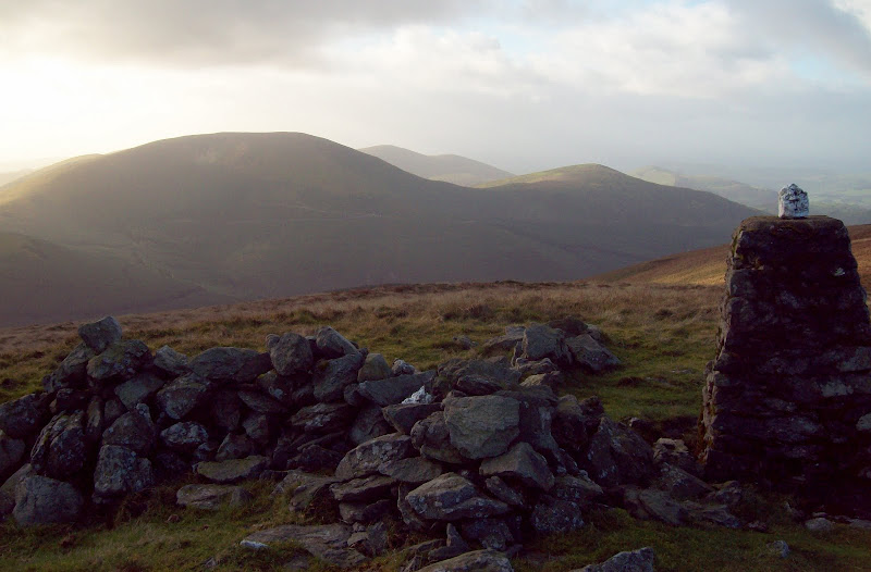
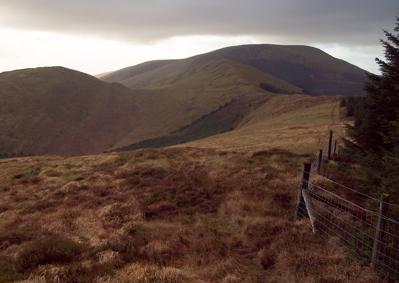
The trig point was a 5 minute walk along the flat summit ridge, which was surprisingly rough and hard going away from the path (I found this out as I crossed the fence to try and locate the highest point, just before the trig point). Tarrenhendre was looming obviously ahead, and the connecting ridge looked long and interesting.
Tarrenhendre from the summit:
Cadair Idris from the summit:
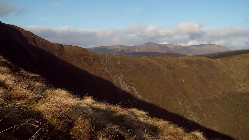
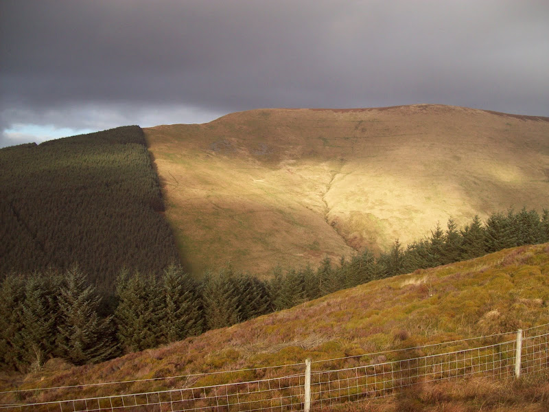
I retraced my steps most of the way to the other end of the summit, then followed a fence down to a col. My first instinct was to try and use the path marked on the map, which contoured Foel y Geifr to the north, but this was wet and indistinct, so I ended up climbing heathery slopes through scattered trees to the ridge line. This was a good move, as a faint path followed the crest.
Tarrenhendre from Foel y Geifr:
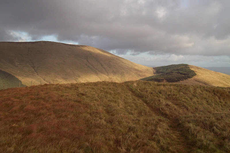
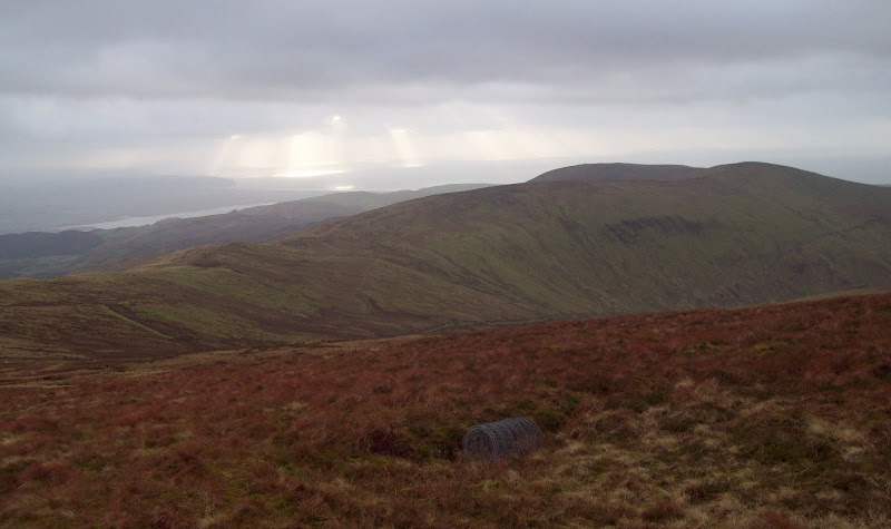
The ridge was long, rough and undulating, but very enjoyable. While the Radnor hills previously had reminded me of Aberdeenshire, the Tarrens were rather like the Rhinns of Kells in the Southern Uplands. I stopped for some lunch midway between the two main summits, now feeling hungry rather than ill.
Back to Tarren y Gesail:
The Dyfi Estuary:

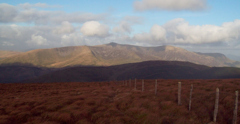
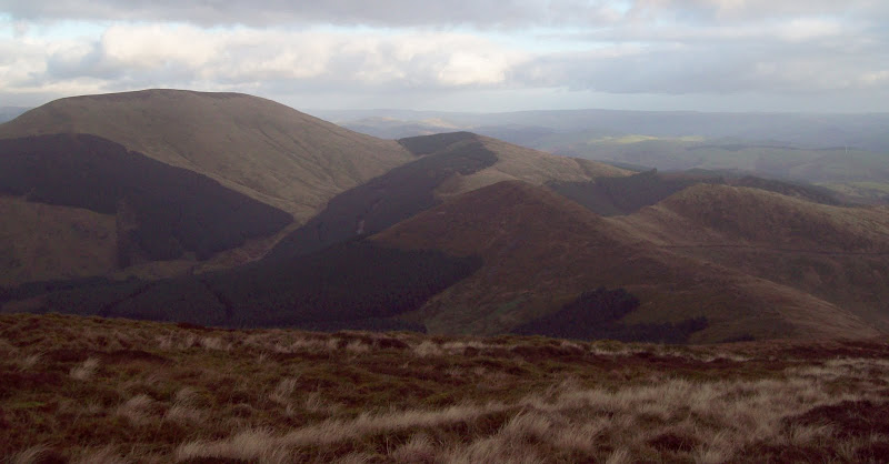
Crossing a summit of Mynydd Rhyd Galed led to the final ascent. There were good views to both sides of the ridge - north across Nant Gwernol (probably the more logical approach, and well covered in
Poppiesrara's report), and south across the Dyfi Valley to Pumlumon and the coast.
Across Nant Gwernol to Tyrrau Mawr and the end of Cadair Idris:

Tarren y Gesail:
...and again from Tarrenhendre:
Tarrenhendre also had a broad summit, with a couple of high point candidates. It seemed a bit pointless trying to locate the highest, but it was nice do do a circuit of the summit area to admire the views from all sides, as there was little to see from the centre.
I was doing surprisingly well with the weather, as showers and strong winds had been forecast. The breeze was bracing, but not difficult to walk in, and the showers seemed to pass over the hills either side of me, only hitting me with a few drops now and then. There was no sign of the forecast snow either, which I had expected to see on Cadair Idris and Aran Fawddwy. The ridge westward looked tempting, and had featured in my original plan (catching a train home from Tywyn), but I was happy enough with a shorter circuit. Besides, I discovered I had left my head torch in Inverness, and didn't fancy coming off the hills in the dark without it. Another one to add to the growing list of walks to do in the future.
Onward to Tarren Cwm-ffernol:
I'm 99% sure that I have been up Tarrenhendre before, but can't remember anything other than walking up behind the station at Abergnolwyn, and following a fence up a ridge somewhere. I can't even remember how long ago it was, although I'm guessing I was maybe 11 or 12 at the time. I had cheekily ticked it off on my hill logger anyway. At least I have definitely been up it now!
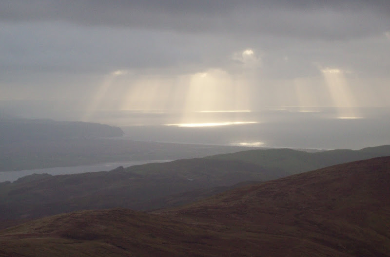
Sunny spots in Cardigan Bay:
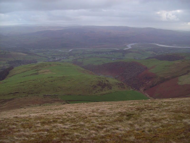
I continued SW on the main ridge for a short distance before dropping down the hillside towards Ffridd Rhosfarch. A path led me across grassy fields to the farm of Rhos Farch, where I picked up the farm track and then minor road to Pennal.
Looking down my descent ridge:
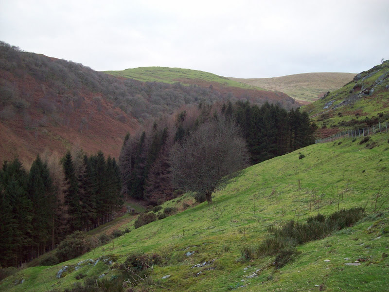
Cwm Ebol:
This could have been the end of the walk, as I could have tried hitching or getting a bus back to Machynlleth, but there was still daylight and more than two hours until my train was due, so I decided to walk back by the Dyfi. A minor road led me to Llugwy, where I picked up the river bank. The walking was easy and pleasant, although there wasn't enough light to get any decent photos. In the more wooded areas, I saw lots of grey squirrels, which seem to have been a bit of a theme in Wales this autumn, and in the river itself I was lucky enough to spot an otter, which popped its head just above the surface to eye me suspiciously, before disappearing again. I tried to get a photo, but the flash went off, ruining the picture, and it was away before I got another chance.
The final mile back to the Dyfi bridge was a little unsatisfactory, as it was now almost completely dark, and there was nowhere else to walk other than the road. Still, I managed to avoid being mown down, and arrived back in Machynlleth with almost an hour to spare. Unlike previous trips, I didn't fancy a pint this time, so just passed the time in the waiting room instead.
A great day out and a reminder that a good walk is always the best cure for a hangover!
