free to be able to rate and comment on reports (as well as access 1:25000 mapping).
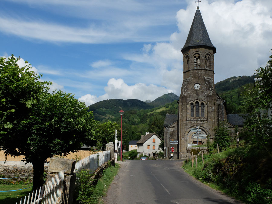
A great passion of ours is long distance walking - there is something magical about walking from place to place only on foot, staying somewhere different each night. We hadn't done such a walk for quite a few years, so it was great to get away to France for a couple of weeks at the start of August. We'd planned out an 8 day circular hike exploring the (former) Volcanoes of the Cantal, in the Auvergne at the heart of France.
The walk - which is one of France's
Grand Randonees (GRs) - marked by red and white paint
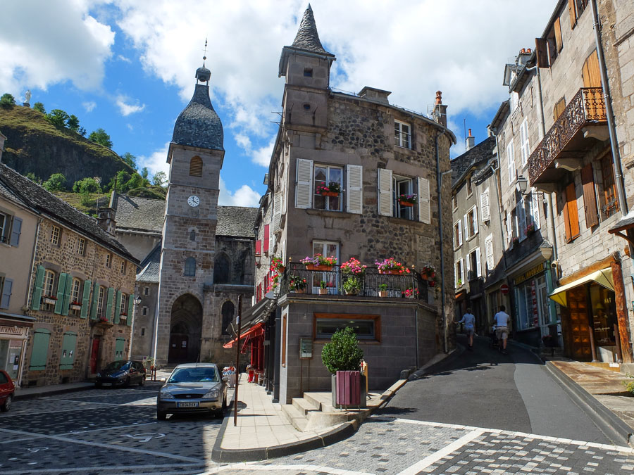
balises, began in Murat, which we reached by train from Paris. It was 37C on the day, and the aircon on the train couldn't cope - sweltering!!
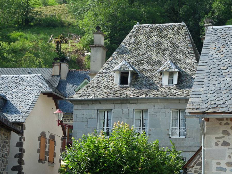
Still, having escaped the flat plains of northern France and the busy city, the old town of Murat is a delight of steep twisting alleyways and ancient buildings.
 Day 1 - Murat to Super Lioran
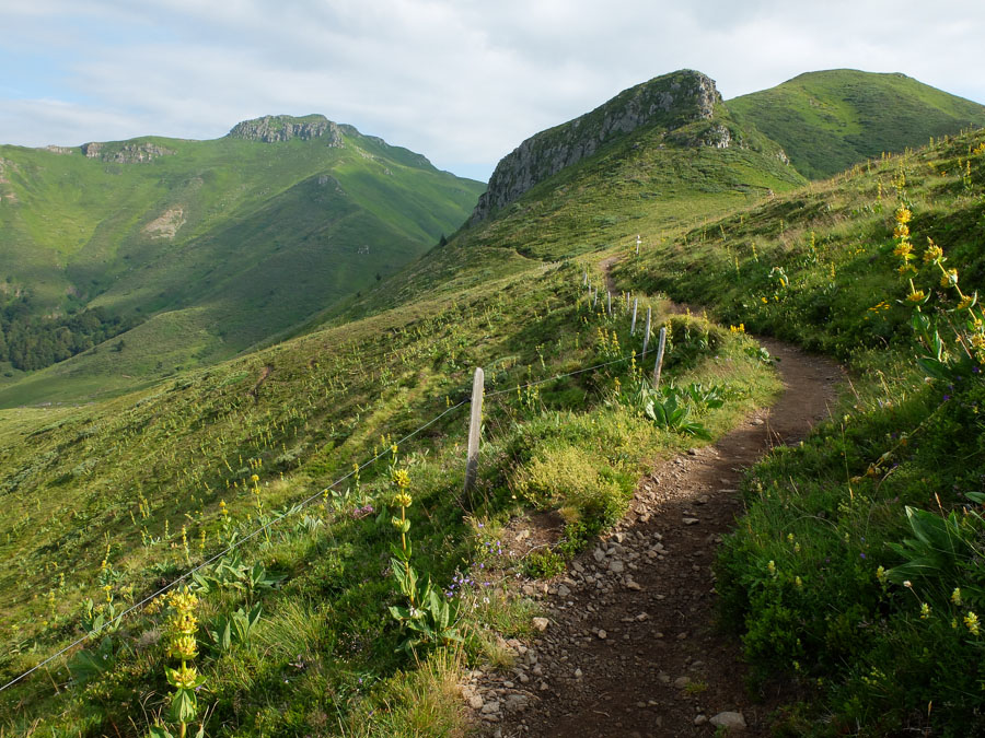
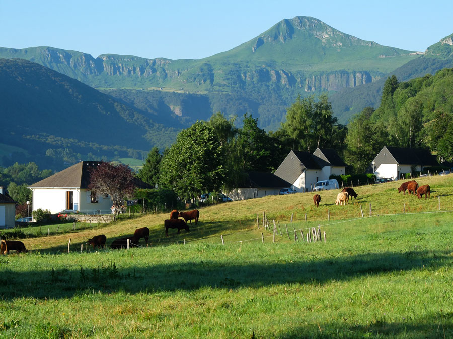
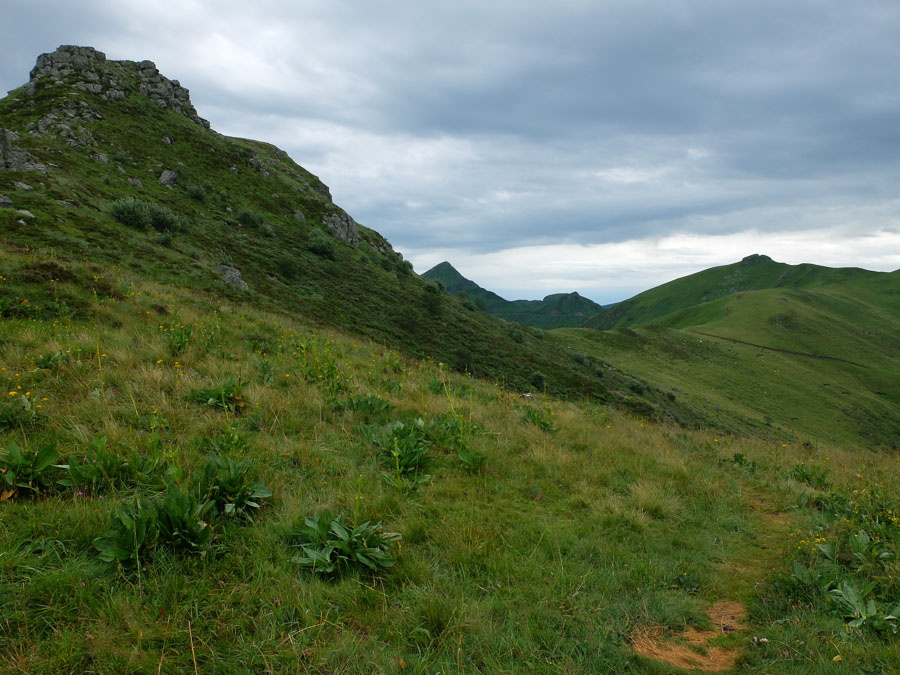
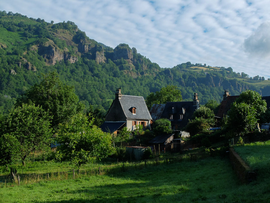
The first day - overcast and thankfully with a 10C fall in temperature on the day before - crossed relatively sedate countryside as it lead out of Murat at first, slowly gaining height until the mountains (or hills - they are kind of inbetween in appearance) were finally reached towards the end. The high point was the summit of the Rocher du Bec de l'Aigle at 1700m, revealing the first views of the conical Puy Mary which dominated much of the weeks' walk. After the summit the route contoured the Teton de Venus before a long descent to Super Lioran. This was an ugly ski-resort - busy in summer with a cable-car ride up the Plomb du Cantal opposite, as well as lifts for use by mountain bikers (with some very scary-looking MTB descent routes).

Approaching Rocher du Bec de l'Aigle:

View to Puy Mary:
Super Lioran:
 Day 2 - Super Lioran to Le Claux
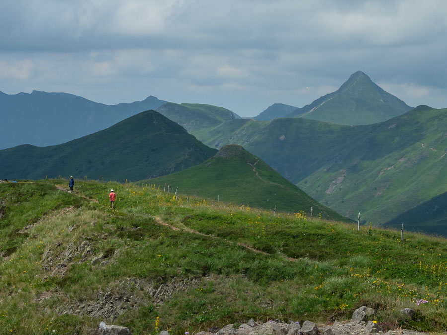
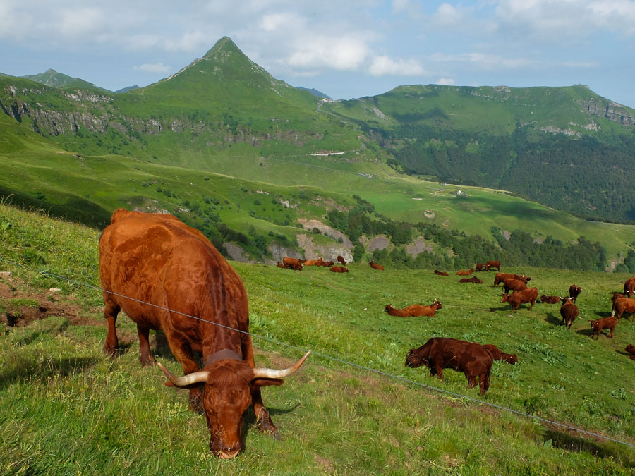
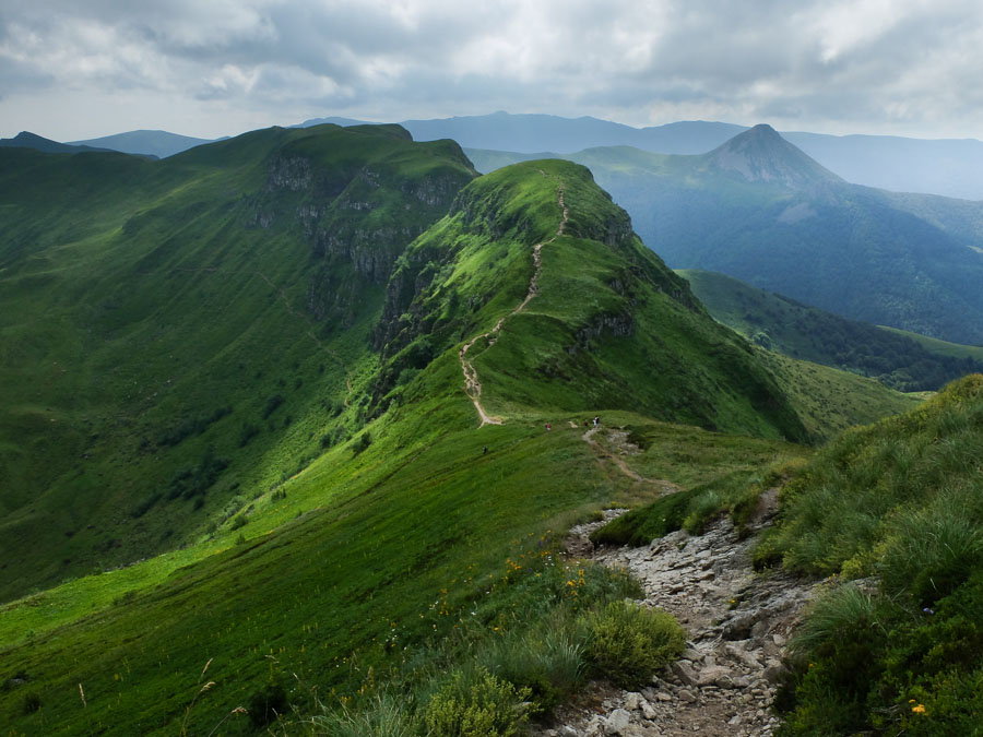
The first part of today's walk was to be a climb back up to the ridge - but we opted to take a telepherique to regain the height reached yesterday. From here, the rest of the day was perhaps the most dramatic part of the walk, contouring several mountains en-route to the high cone of Puy Mary. A highlight was the Breche de Rolande - a gap in the ridge. It's no match for its namesake in the Pyrenees, but it still requires a bit of a scramble. The whole day was busy with walkers - but the summit of Puy Mary (1783m) was hoaching, though the views were superb. The descent led down a concrete path - no kidding - to a cafe on a high pass. A long late lunch break in a cafe isn't something we get used to in the Scottish mountains!! Finally the route followed a lower ridge before descending to the village of Le Claux.
The yellow flowers are yellow gentians - which are collected to make a local aperitif.
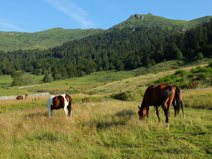
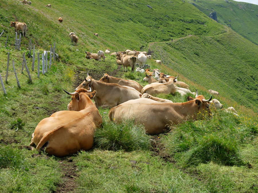
Puy Mary - and the Salers cattle which featured on much of the route (especially the noise from their bells!):
Climb out of the Breche de Roland:

View back along the ridge from Puy Mary:
Cafe/restaurant at the Pas de Payrol:
Descent to Le Claux:
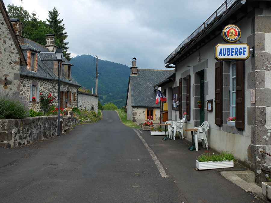
 Day 3 - Le Claux to Le Falgoux
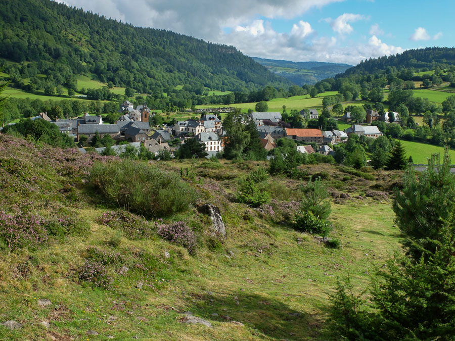
This was a fairly short day, crossing a high ridge before descending to the next valley. It had what you want from a walk in France - hot sunshine and superb views. The one hotel in the tiny village of Le Falgoux served probably the largest meal I've ever eaten.
Puy Mary seen from Le Claux:
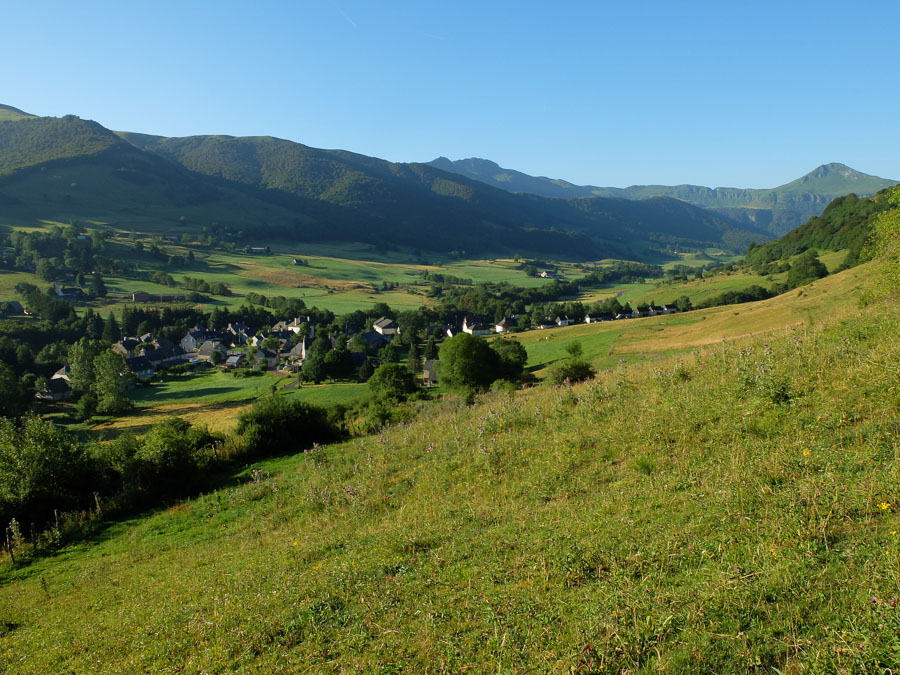
Up on the ridge:
Descent to Le Falgoux:
 Day 4 - Le Falgoux to Le Fau
There was a huge electrical storm at about 6am. The rains abated during breakfast, and the clag mostly cleared up during the morning. This day made a long ascent through rich woodland, crossing a low ridge before descending into a boggy valley (a rarity in France). It then climbed again up to the summit of Puy Violent - 1592m though grazed by cows nearly to the top. Another descent led to the tiny hamlet of le Fau. There is a camp site here, but we stayed in the gite d'etape - a French walkers hostel, of which there are hundreds along the route. We were the only guests, but were fed in the tiny local auberge.
Nearing the summit of Puy Violent:

On the descent:

Le Fau:
 Day 5 - Le Fau to Mandailles
This was to be the longest and most exposed day, so a little alarming that the noticeboard in Le Fau had a warning about a massive electrical storm. This hit during the night and was the most spectacular I've known - the sky almost constantly lit. It also took out the power - which meant that the fire alarm in the gite let off a constant warning tone from the battery to warn about the lack of power. So not much sleep.... The rain was still pouring down when we began the walk, though it cleared up, only for the clouds to roll back in. We followed the ridge to the summit of Py Chavaroche, 1739m, though there was nothing to see except the massive cairn. A real shame as I've seen photos of the view here and it looks magical. Given the weather, we continued along the ridge as far as le Piquet before taking a short-cut descent to Mandailles. The day was brightened by the massive picnic lunch provided by the gite!!
Once at Mandailles the weather brightened up at last. This is a beautiful small village in the stunning Jordanne valley - perhaps the prettiest on the walk.
Before the clouds enveloped us:
Mandailles:
 Day 6 - Mandailles to Thiezac
It rained. OK... but it really poured, never pausing for an instant. Luckily the day was fairly short, a long climb up to another ridge before a descent to Thiezac. This was a larger village but less attractive and touristy than Mandailles. Still, it had plenty of attractive corners.
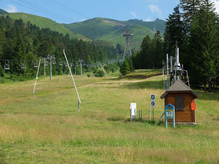
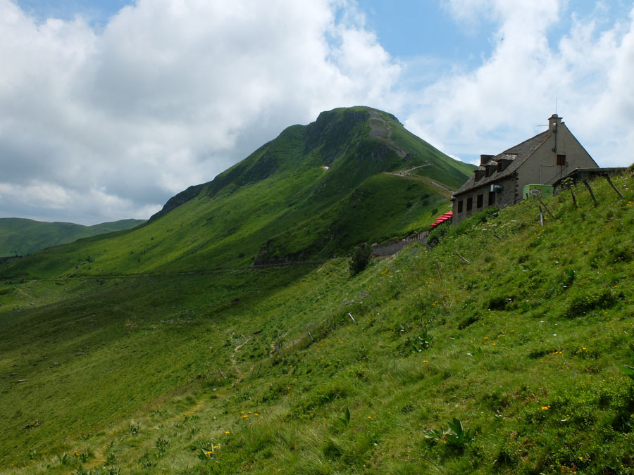
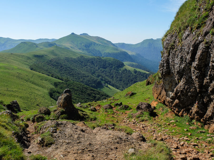
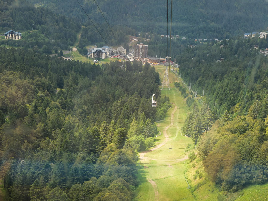
Day 7 - Thiezac to Col de Prat de BoucA welcome return to fine weather for this excellent days walk. After an initial steep climb, the route runs for miles along an increasingly high though broad ridge, eventually leading to the high point of the walk, the Plomb de Cantal at 1855m. Plenty of great views all along the way. The Plomb de Cantal is near the top of the cable car already mentioned from Super Lioran - we fancied a ride so went down to the ski village for a delicious ice-cream before returning to the top, making the return journey the wrong way round and thus confusing the operators.
From the summit there is a short descent to the gite d'etape at the offshoot ski-centre of Col de Prat de Bouc. This was a very friendly place to stay with a communal meal - with a lesson learnt that we really must improve our French!!
Thiezac:
Hope you like cows:
Approaching the summit:

From the cable car:
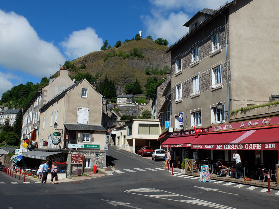
 Day 8 - Col de Prat de Bouc to Murat
The final day was very short - a real morning bimble. We diverted from the GR400 to pass through another village - Albepierre - before returning to Murat. Plenty of time left to explore the lovely town and climb the rock that rises above it - crowned with a statue of the virgin.
Albepierre:
Murat:

Nothing left now except the train back to Paris

The Cantal is a very attractive area, with beautiful, scenic valleys and tiny villages. The walk is pretty straightforward - most of the stages are pretty short - as long as you don't get stuck in a thunderstorm on the ridges, which wouldn't be fun. The route is a little contrived in order to get 8 days walking out of a small area, but on the other hand it means you really do get a feel for the place; you also need to be able to at least get by in French as there is almost no English spoken. Best bit for a cheese-fiend like me is that you are almost force-fed vast quantities of the local cheeses

