free to be able to rate and comment on reports (as well as access 1:25000 mapping).
Day 10 of our holiday in Tromsø. A good forecast, so we chose this walk which promised the prospect of good views over to the Lyngen peninsula and we weren't disappointed! The walk starts from a nature reserve near Breivik, and the world's most northerly golf course! We followed a track up through the woods to an old WW2 pillbox. No sign of a path beyond this point, so we found our own way out of the woods onto the first shoulder of the hill, where a green postbox (geocache) adorns a large boulder. It was also good to get away from the mosquitos which were attacking us in the trees!
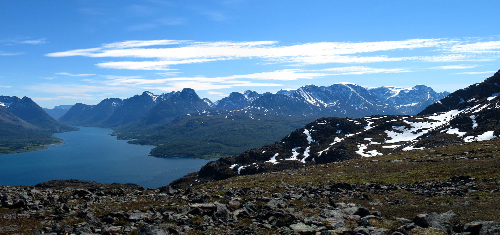
We now gained the ridge, and followed it quite steeply though without any technical difficulty to where is flattens out at around 700m. The weather was warm and sunny: T-shirt and shades required! The views over across Ullsfjorden to Lyngen were indeed stunning! We now followed the broad ridge over a couple of minor tops, with increasing snow cover, to the 1100m foretop. A short drop to a wide col was followed by a steady final climb to the summit, and even more wonderful, 360 degree, views.
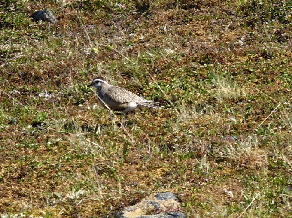
On the way down we saw a pair of ringed plovers, and a dotterel. A fantastic day's walking in a brilliant place

Route map
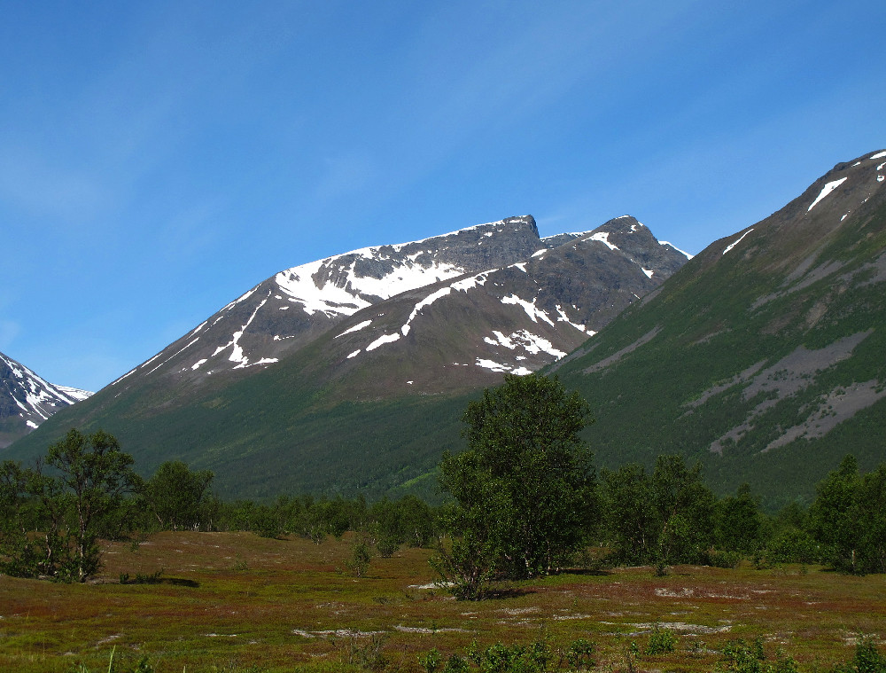
Online mapFinnheimfjellet from the nature reserve
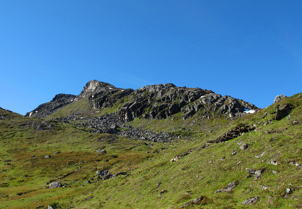
The first section of the ridge
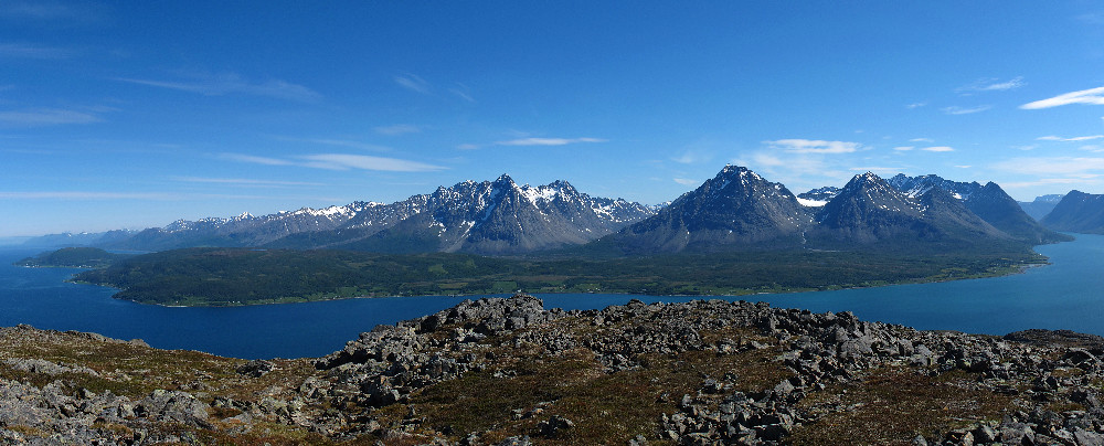
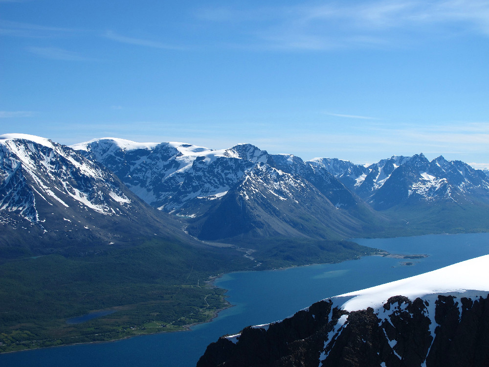
The southern half of the Lyngen peninsula
..and the northern half
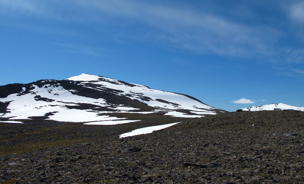
Above the first steep section
The summit comes into view
T-shirt and shades
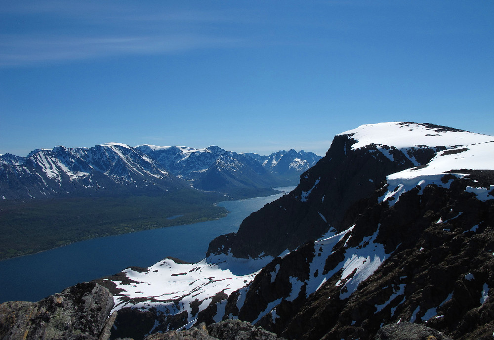
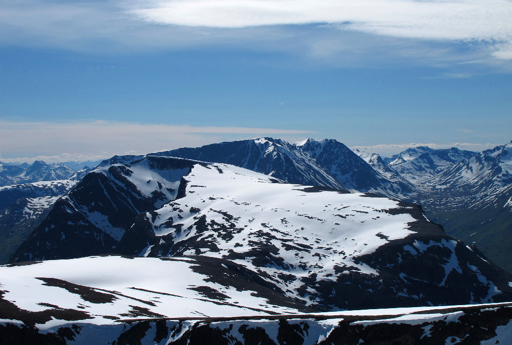
The snowy dome is Jiehkkevárri, the highest point of Lyngen
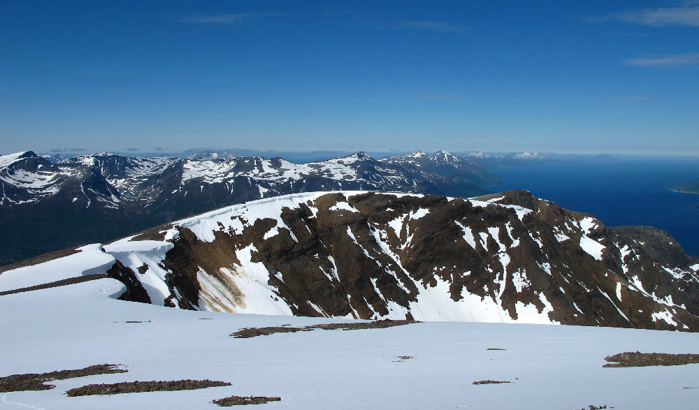
Looking south
Hamperokken

Tromsdaltinden and Kvaløya

Looking north
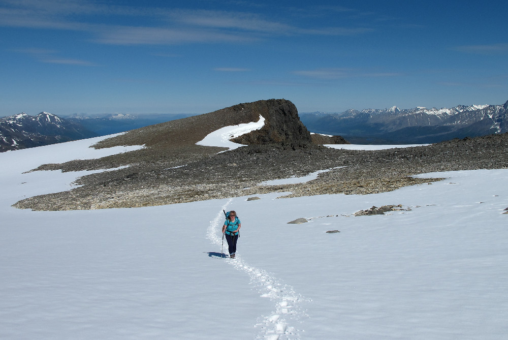
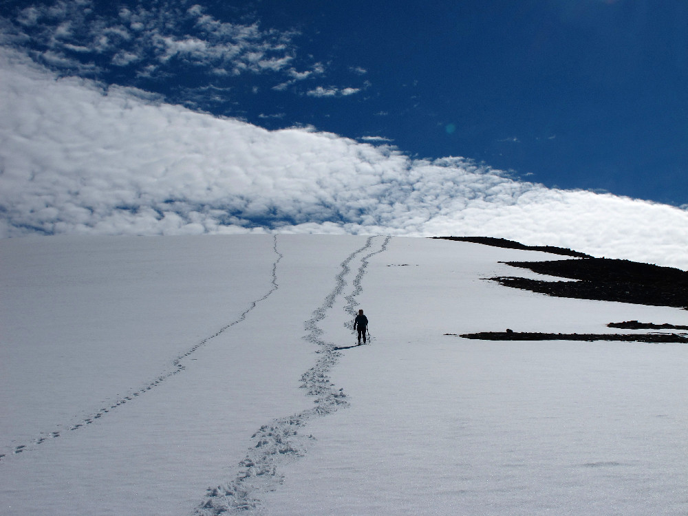
Parallel tracks!
Dotterel