free to be able to rate and comment on reports (as well as access 1:25000 mapping).
Time to post my first walk report:
Last weekend the weather looked bit more favourable even down in here, Saturday being blue and sunny. I couldn't stand the itch to get out anymore so for Sunday I've decided to give Malvern Hills a go as they are just about 1 1/2 hour drive from where I live.
Hit the road about 7 am and after a coffee stop and 80 miles I've arrived to Earnslaw Quarry car park at 8:30.
Geared up and hit the track around 9 am going northwards, skirting eastern side of the hills on the track leading to St. Ann's Well. Weather was bit foggy by then but there was a hope for a bit of sun later as forecast by MetOffice. Unfortunately they were once again proven wrong and the sun somehow didn't materialised all the day.
Worcestershire Beacon - highest summit on the ridge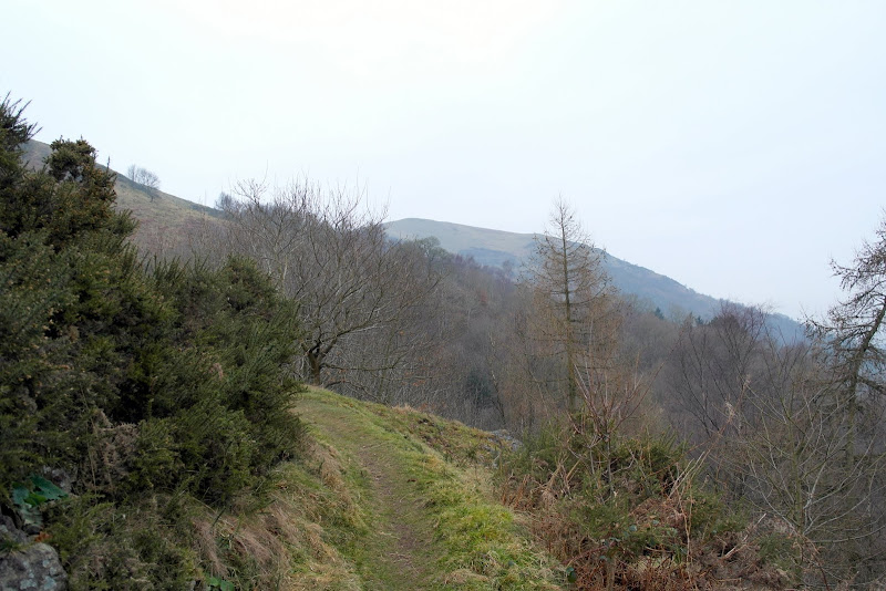 St. Ann's Well building
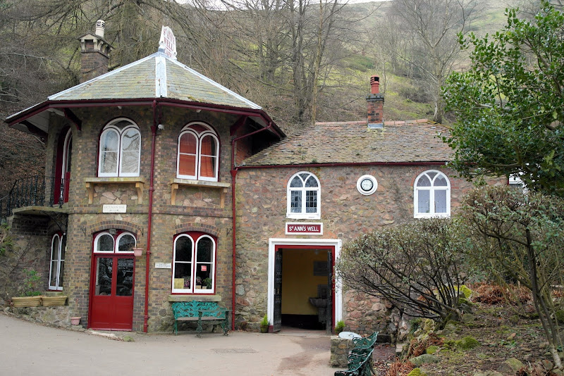
Past St. Ann's Well track initially then sharply rises out of the surrounding woods, zigzagging towards the first summit of the day - North Hill, with magnificent views opening towards Great Malvern, surrounding plain, Bredon Hill and the ridge itself.
Great Malvern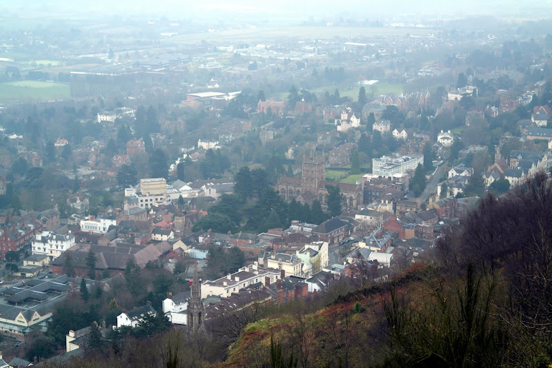 Worcestershire Beacon - from the slopes of North Hill
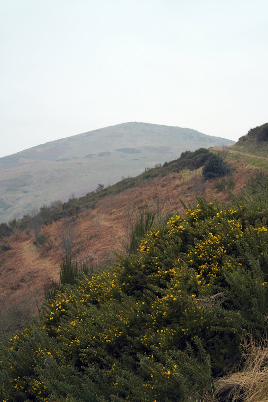
From the summit of North Hill it is fairly straightforward walk in southerly direction taking in all the summits of the ridge. There is hardly any need for a map unless you are totally "navigationally challenged" person, especially on the ridge.
View of Worcestershire Beacon with small lump of Sugarloaf Hill in the front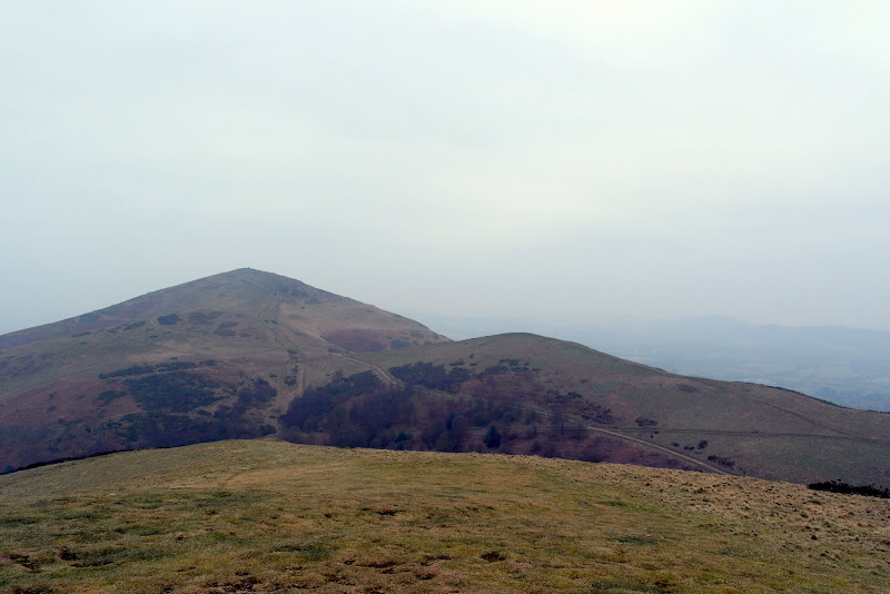 Back towards North Hill (right) and Table Hill (left)
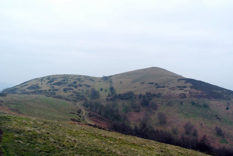 Ascent to Worcestershire Beacon summit ahead
 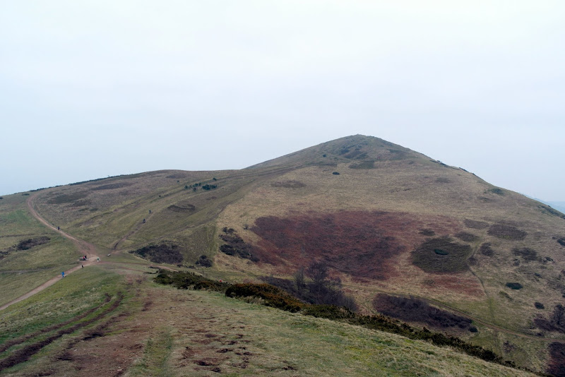 Summit toposcope
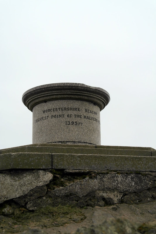 Trig point - been there, done that etc etc...

From the summit of WB it is rollecoaster walk along the ridge ahead with some fairly sharp ascents
Ridgewalk Snowdrops in Upper Wyche
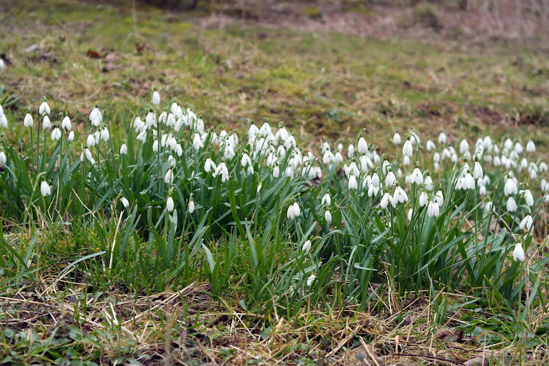 Upper Wyche with Worcestershire Beacon in background
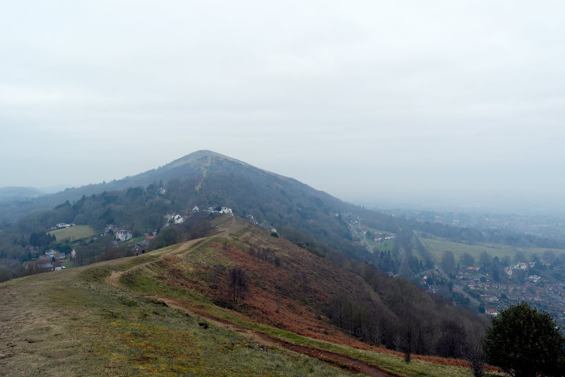 Worcs Beacon, Perseverance Hill, Jubille Hill (back to front) from Pinnacle Hill
 Gliders on Pinnacle Hill
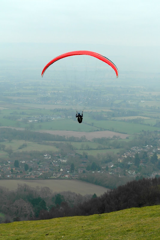
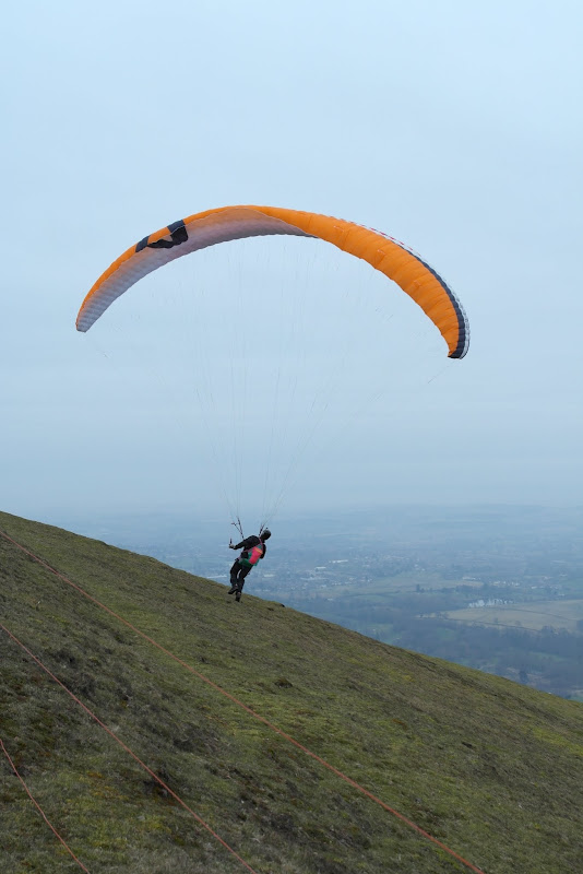
Must have been a good day for them as it was brisk winds (albeit chilly).
Now the Herefordshire Beacon w ith British Camp (turning point of my walk) was clearly visible and not so far anymore, or I thought so
 Black Hill in the front with Herefordshire Beacon in background
 British Camp - zoomed
 Ridge back to the north
 Panorama of the ridge from Herefordshire Beacon
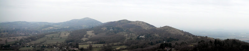 Millenium Hill
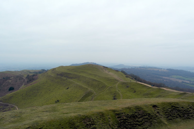 British Camp
 British Camp Reservoir
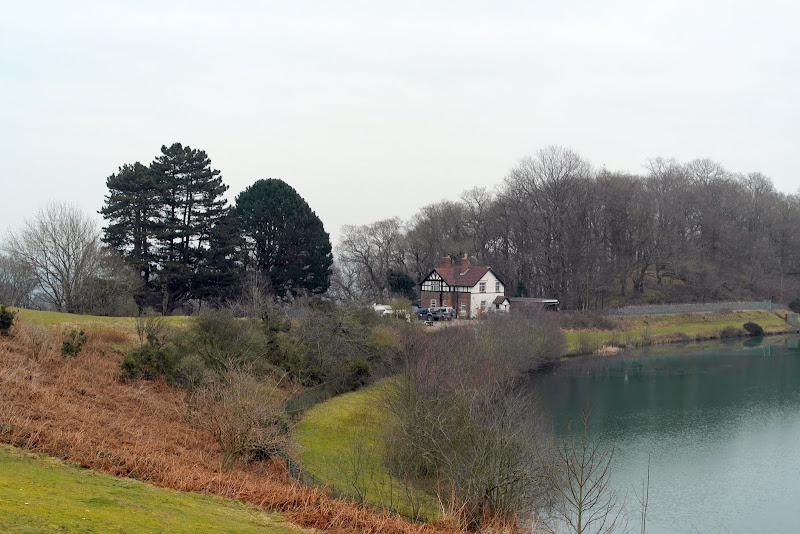
On top of British Camp I've been tempted a little bit to continue along the ridge to finish it but decided against it a I still had considerable walk back to the car ahead of me.
On my way back I've encountered one minor obstacle in form of seemingly neverending stairs I had to climb to get back to my car. They looked a a nice shortcut and very innocent initially but very quickly turned into my worst nightmare. Climbing good more than hundred of them after 19 km walk wasn't nice to put it mildly
 Stairway to heaven (or better to say to hell?)
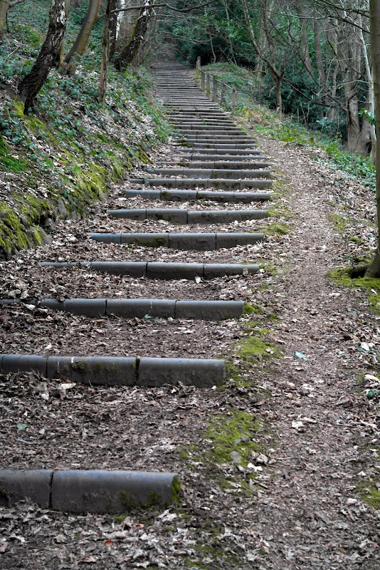
Stats of my walk from my smartphone app (MyTracks):
Name: Malvern Hills
Activity type: Walking
Description: Round trip of Malverns
Total distance: 19.89 km (12.4 mi)
Total time: 5:15:23
Moving time: 4:45:10
Average speed: 3.78 km/h (2.4 mi/h)
Average moving speed: 4.19 km/h (2.6 mi/h)
Max speed: 9.90 km/h (6.2 mi/h)
Average pace: 15.85 min/km (25.5 min/mi)
Average moving pace: 14.33 min/km (23.1 min/mi)
Fastest pace: 6.06 min/km (9.8 min/mile)
Max elevation: 475 m (1558 ft)
Min elevation: 192 m (631 ft)
Elevation gain: 1393 m (4569 ft)
Max grade: 0 %
Min grade: 0 %
Recorded: 03/03/2013 08:45
