walkhighlands

This board helps you to share your walking route experiences in England and Wales... or overseas.
Warning Please note that hillwalking when there is snow lying requires an ice-axe, crampons and the knowledge, experience and skill to use them correctly. Summer routes may not be viable or appropriate in winter. See winter information on our skills and safety pages for more information.

Wrong turn

Wrong turn


Postby Yochy » Sun Mar 31, 2013 8:56 pm

Date walked: 31/03/2013

Time taken: 6

Distance: 21 km

1 person thinks this report is great.
Register or Login
free to be able to rate and comment on reports (as well as access 1:25000 mapping).

Thought I would try a longish walk today with lots of woods as my nav skills are not to bad. First half of walk was great, sun was warm, most of the water had drained away, a bit windy but feeling good and enjoying the morning. Then came the return journey, through some bog, got half way across and realised I needed a poo :shock: 
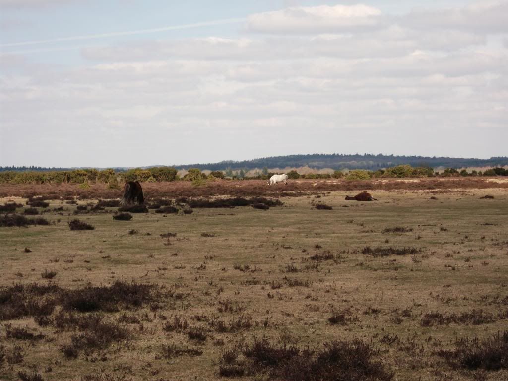
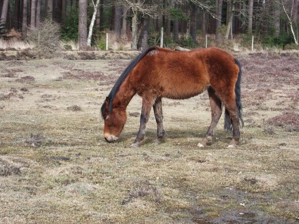
, looking ahead I could see a copse of wood, this was surrounded by a boggy stream too wide to jump and about two feet deep by the stick I was using to judge the depth. Found a large log going across so with stick made my way across, safely across a quick look to see if anyone around, as I was in the middle of nowhere dropped the strides and business done pulled up strides to find a group of ponies looking at my in a disgusted way. Cracking on I took a bearing across the rest of the bog towards what turned out to be a cycle path/route. Made a right turn even though my compass told me I should be heading the other way, but as I know better than my compass I cracked on. About an hour or so latter I was lost compass has now been turned so not to sure on last direction :clap: . As it is the New Forest there are people around now and again to ask directions, but pride had set in 8) , so I was going to sort this one out myself, what a kn*b, if only I had asked someone, I would have saved myself the trouble of the next mistake. I bit the bullet and asked a woman jogging, she was a foreigner, and did not know where she was :shock: , did manage to find out I was on the outskirts of a village called Bank, only 1 1/2 miles north of my parking spot :clap: .
Found the main road, as the dog was tired I went for the direct route back to the car and followed the road. :wink: Have been a couple of hundred yards off before but 1 1/2 miles :lol:


our_route.gpx Open full screen  NB: Walkhighlands is not responsible for the accuracy of gpx files in users posts


Image
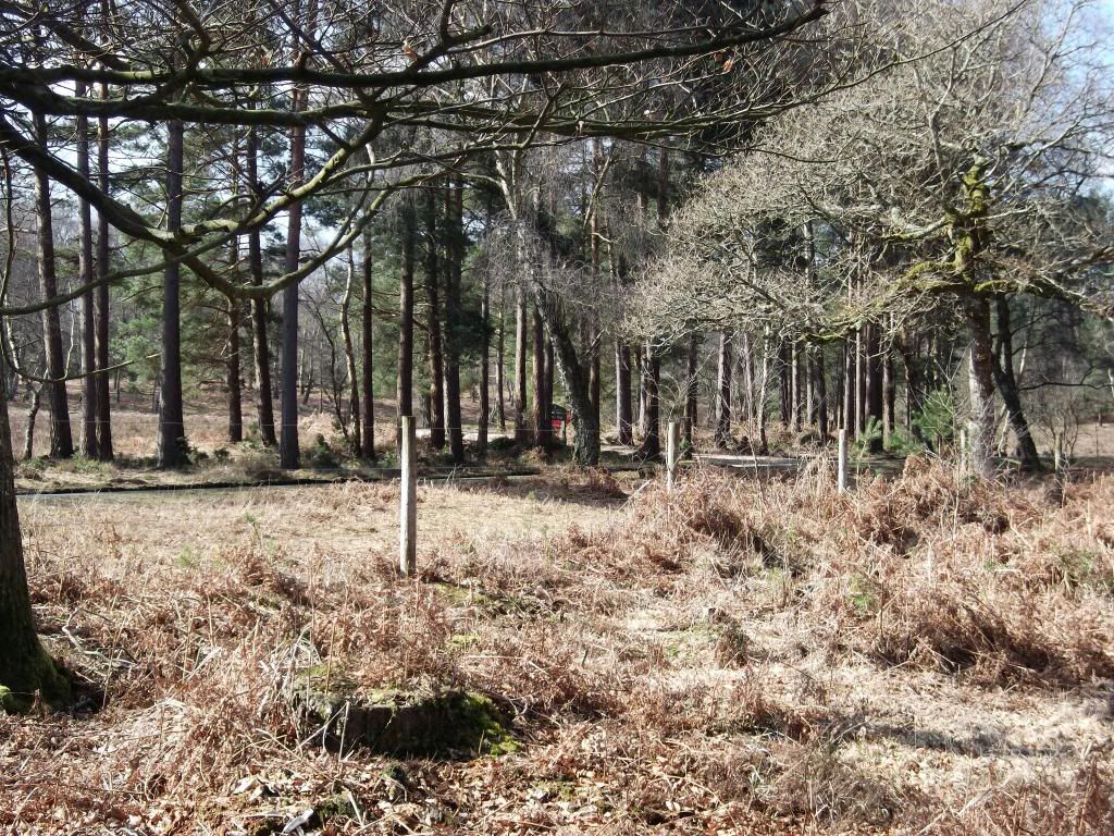
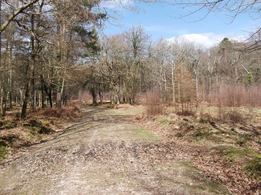
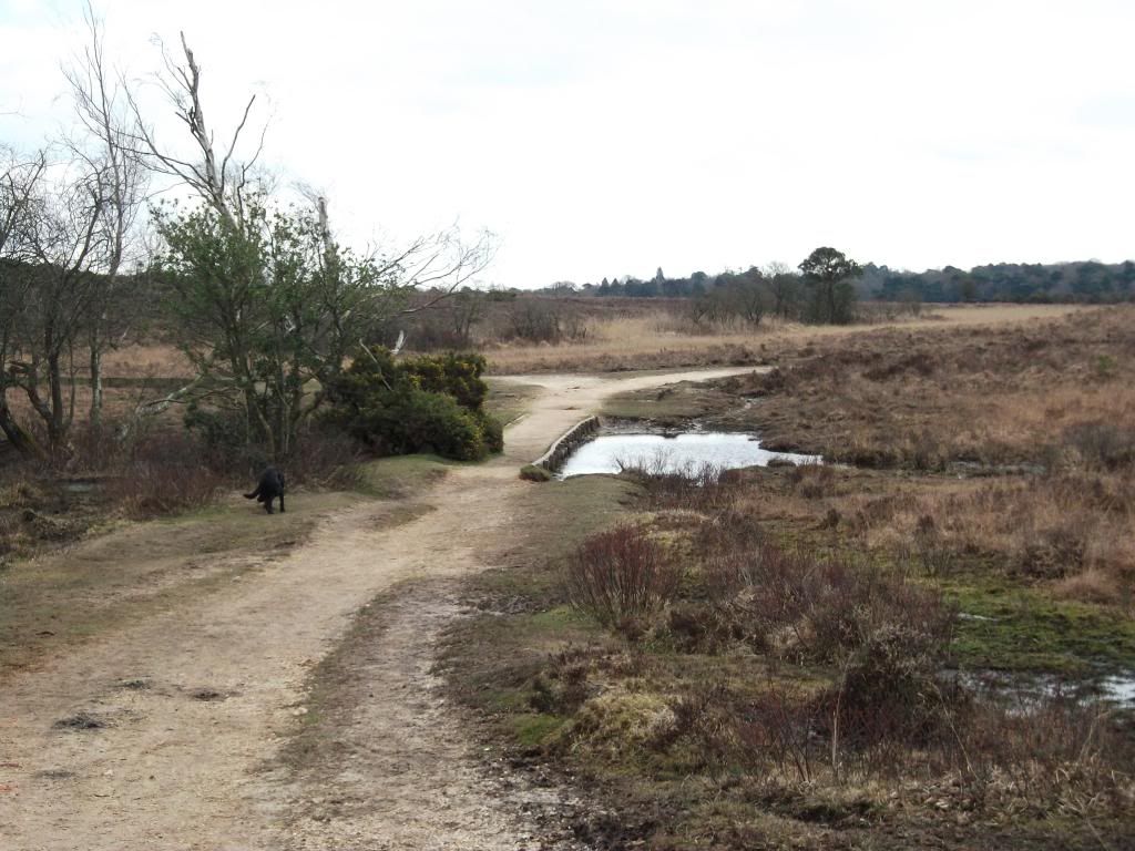
Start of walk, just see my car.

Image
Sun out, looks like it may be a good day.

Image

Image

Image

Image

Image

Image
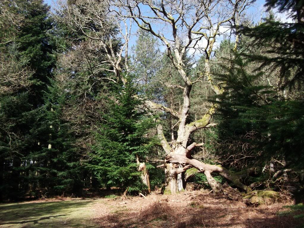
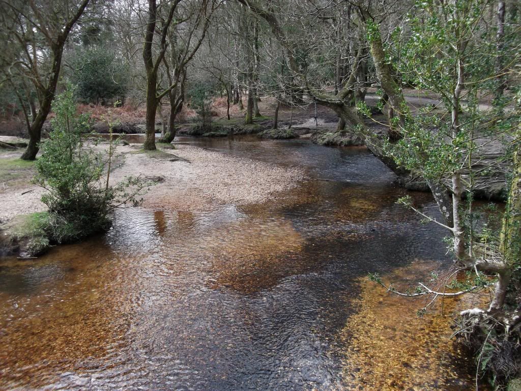
Going well so far, hi.
Image

Image

Image
looking back.
Image

Image

Image
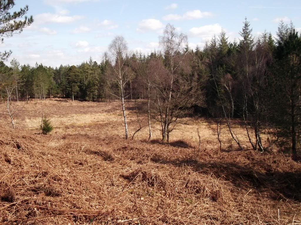
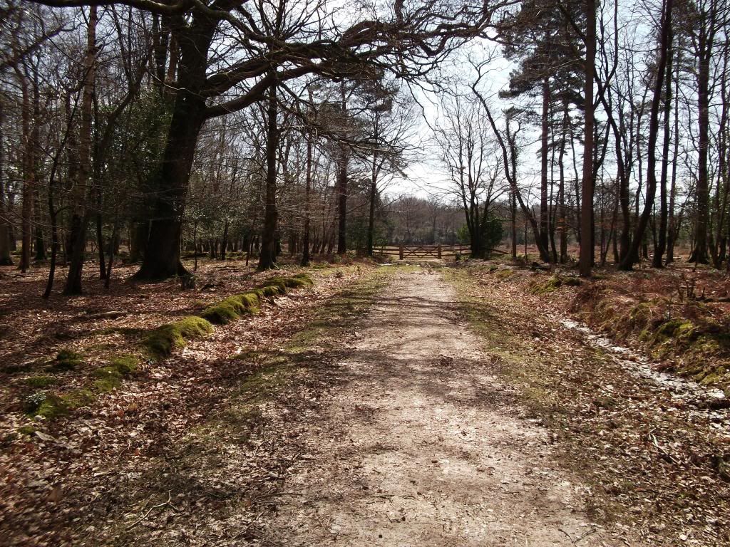
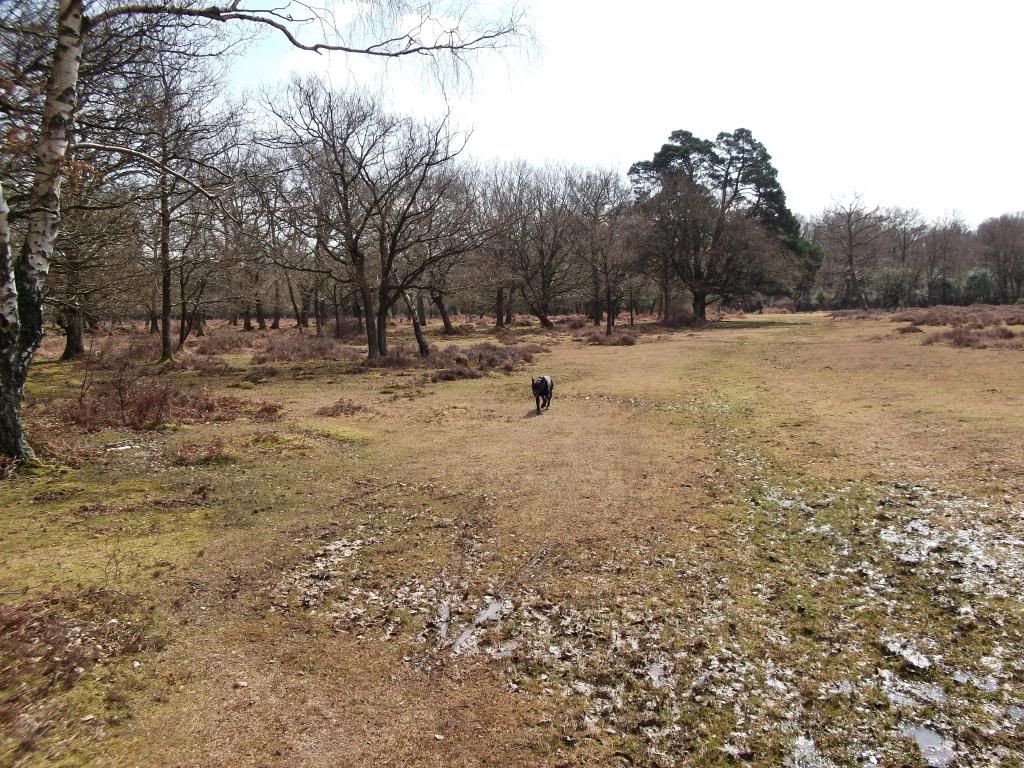
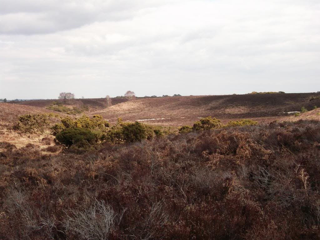
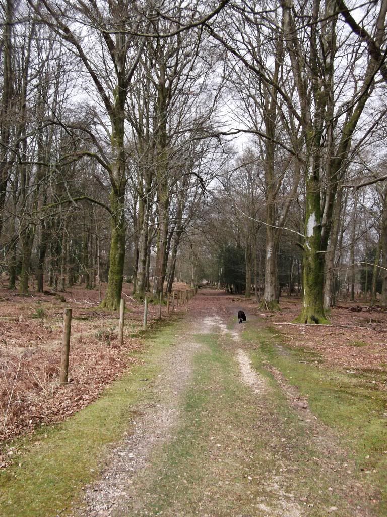
start of return journey.
Image

Image

Image

Image

Image
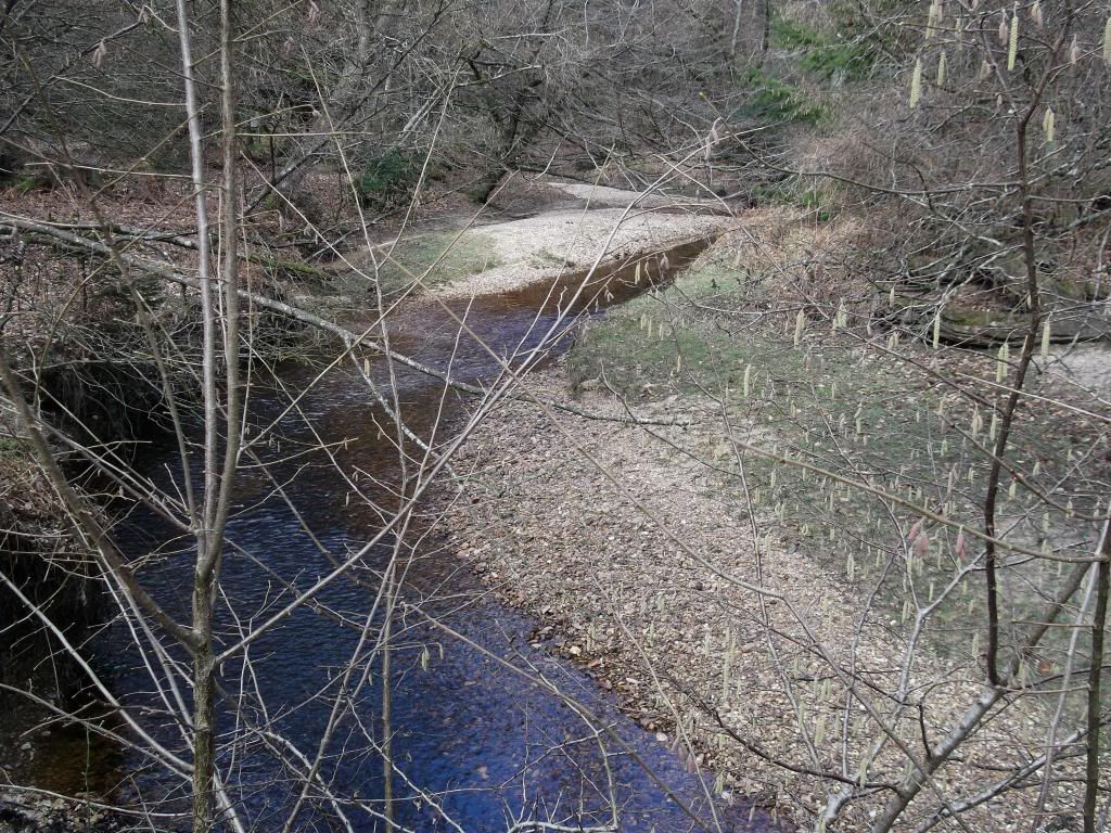
Just before, I had to poo :shock:

Image
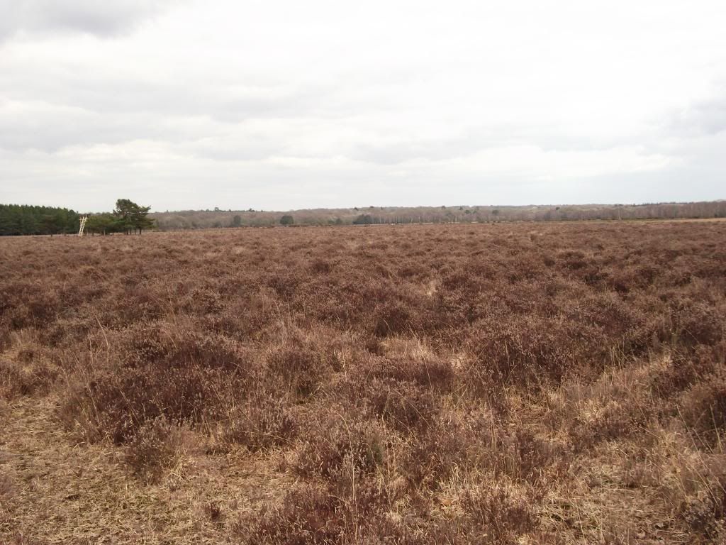
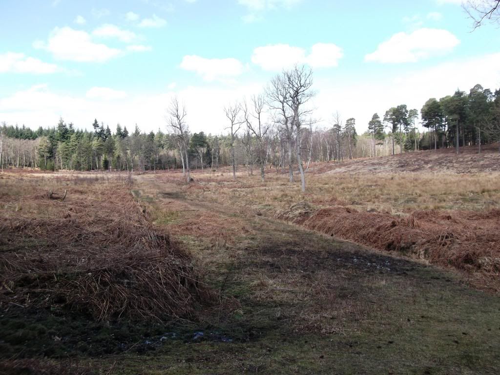
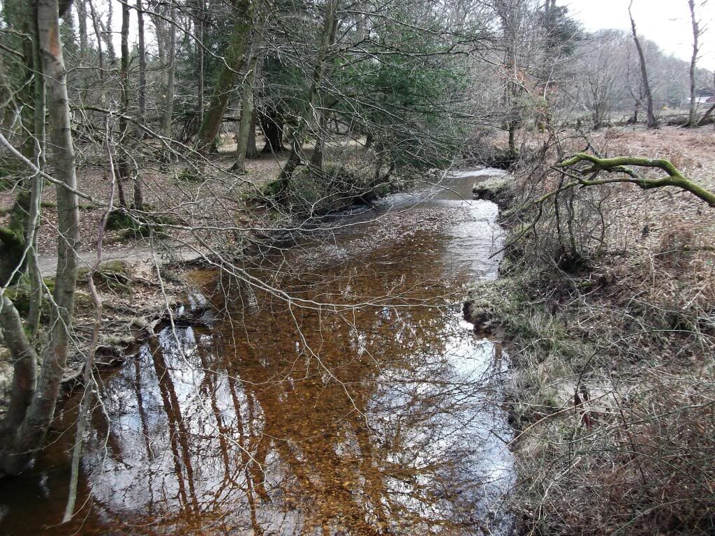
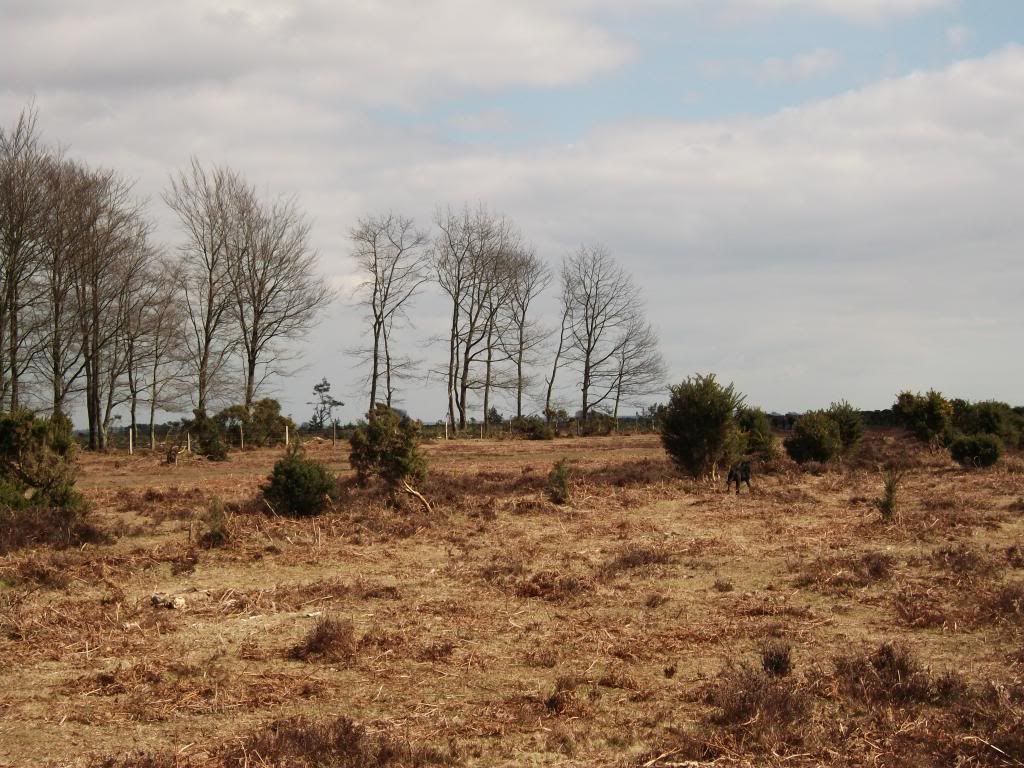
Beginning of bog, poo tree in the distance.

Image
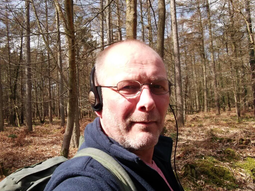
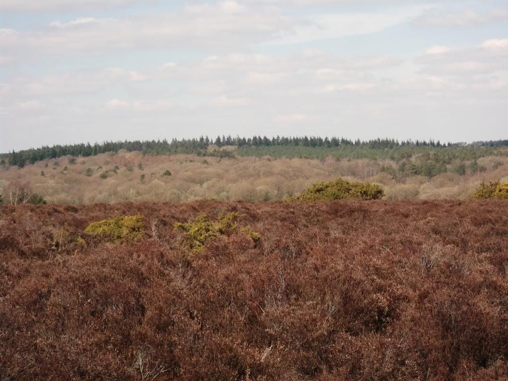
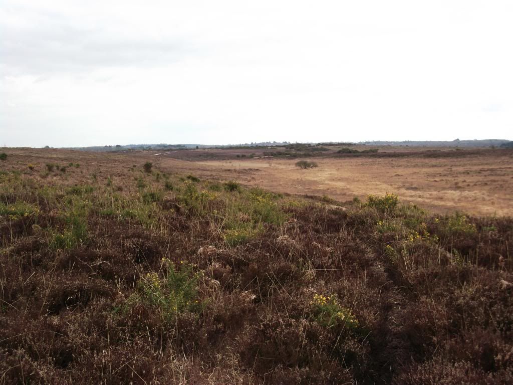
Last pic, as got a bit lost after this :roll:
Last edited by Yochy on Mon Apr 01, 2013 9:08 pm, edited 4 times in total.
User avatar
Yochy
Mountaineer
 
Posts: 29
Hewitts:2
Joined: Jan 17, 2013
Location: South UK

Re: Wrong turn

Postby Ibex » Sun Mar 31, 2013 10:27 pm

One thing is for certain, I would rather walk through Lyndhurst than get stuck in the one way system. :roll:

With all your walks, you should have plenty of fitness to stand you in good stead, when you get into the hills
User avatar
Ibex
Mountain Walker
 
Posts: 473
Munros:16   Corbetts:1
Hewitts:130
Wainwrights:214   
Joined: May 30, 2012
Location: Cumbria

Re: Wrong turn

Postby tenohfive » Mon Apr 01, 2013 7:01 pm

Get a Photobucket account for image hosting. Upload the photo's then click on the ones you want to share - you'll see a link with an [IMG] prefix. Click on that and it'll copy, then paste into your walk report and the photo's should come up. Size won't be an issue.
tenohfive
 
Posts: 780
Munros:2   
Hewitts:40
Wainwrights:44   
Joined: Apr 23, 2012

Re: Wrong turn

Postby Yochy » Mon Apr 01, 2013 9:12 pm

tenohfive wrote:Get a Photobucket account for image hosting. Upload the photo's then click on the ones you want to share - you'll see a link with an [IMG] prefix. Click on that and it'll copy, then paste into your walk report and the photo's should come up. Size won't be an issue.


Thanks Tenohfive, after many attempts, I got there in the end :D
User avatar
Yochy
Mountaineer
 
Posts: 29
Hewitts:2
Joined: Jan 17, 2013
Location: South UK

Re: Wrong turn

Postby Yochy » Mon Apr 01, 2013 9:16 pm

Ibex wrote:One thing is for certain, I would rather walk through Lyndhurst than get stuck in the one way system. :roll:

With all your walks, you should have plenty of fitness to stand you in good stead, when you get into the hills


Summertime in the New Forest is like Piccadilly Circus on a Saturday afternoon, to be avoided :)
I am off to the Peak District with the Scouts soon, not quiet Highlands but should be fun. Will post a report when done.
User avatar
Yochy
Mountaineer
 
Posts: 29
Hewitts:2
Joined: Jan 17, 2013
Location: South UK

Re: Wrong turn

Postby ChrisW » Thu Apr 04, 2013 5:13 am

Great stuff Yochy, as we all know real men don't ask directions......that's why us real men end up lost for hours on end :lol: Enjoyed this one mate, but I was going to say the start was a bit crappy :lol: nice to see the new forest drying out a bit now :clap:
User avatar
ChrisW
Rambler
 
Posts: 4941
Munros:18   Corbetts:5
Fionas:3   
Sub 2000:6   
Joined: Jan 25, 2011
Location: Cochrane- Alberta - Canada

Re: Wrong turn

Postby Yochy » Sat Apr 06, 2013 6:13 pm

ChrisW wrote:Great stuff Yochy, as we all know real men don't ask directions......that's why us real men end up lost for hours on end :lol: Enjoyed this one mate, but I was going to say the start was a bit crappy :lol: nice to see the new forest drying out a bit now :clap:


Cheers Chris, Starting to dry out a bit, was a bit sticky in places :shock: :D
User avatar
Yochy
Mountaineer
 
Posts: 29
Hewitts:2
Joined: Jan 17, 2013
Location: South UK

1 person thinks this report is great.
Register or Login
free to be able to rate and comment on reports (as well as access 1:25000 mapping).


Can you help support Walkhighlands?


Our forum is free from adverts - your generosity keeps it running.
Can you help support Walkhighlands and this community by donating by direct debit?


Return to Walk reports - Outside Scotland

Who is online

Users browsing this forum: No registered users and 73 guests