free to be able to rate and comment on reports (as well as access 1:25000 mapping).
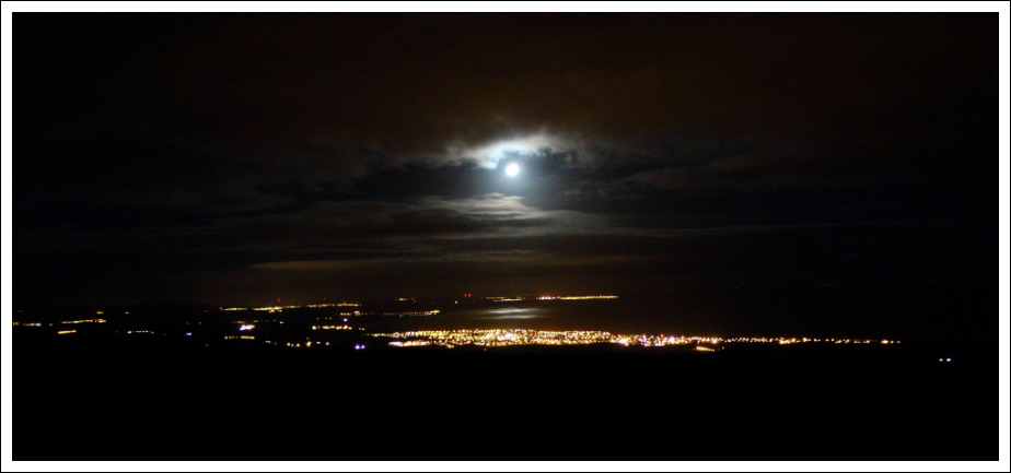
At midnight on 9th January 2014, I started an ascent of Bin of Cullen hoping for great views of the Aurora Borealis from the summit. I sat at the freezing-cold summit until circa 2am before abandoning the idea. Although there was no aurora, I did get great views along the Moray Coast from Buckie to Lossiemouth.
Buckie to Lossiemouth from summit of Bin of Cullen (9th January 2014):
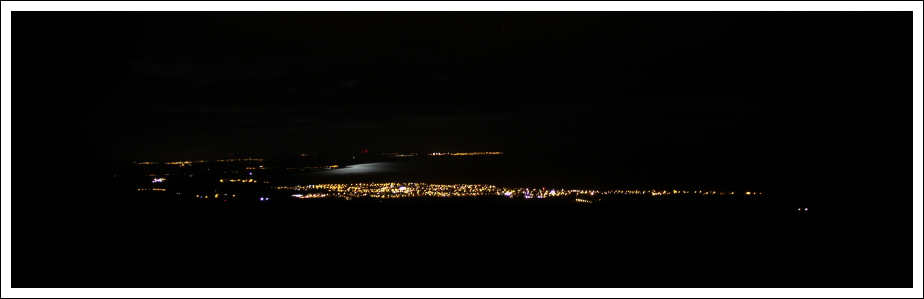
Buckie to Lossiemouth from summit of Bin of Cullen (9th January 2014):
This sewed the seed of an idea about continuing my walk along the Moray Coast. Having already walked the coast from Gamrie to Kingston, my next section of coast westbound was from Kingston to Lossiemouth.
Kingston to Lossiemouth forms part of the Moray Coastal Trail; a 72km walk from Cullen to Forres.
On working out the logistics for the walk, taking into account bus times, I decided to undertake the walk in reverse from Lossiemouth to Kingston.
This morning I drove to, and parked in, Kingston. I then caught a bus from Kingston to Elgin Bus Station and then another bus from Elgin Bus Station to Lossiemouth. Total cost one-way £7.50.
I got off the bus one mile beyond Lossiemouth and started the walk back to Kingston from there.
Click here to see a map of the route undertakenFrom the bus stop, I made my way across the Moray Golf Club golf course to reach the beach circa one mile from Lossiemouth.
As I walked along the beach, I recalled walking along this beach with my grand-parents in the early 1980s.
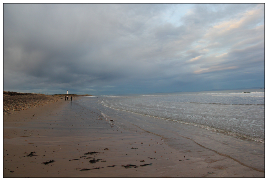
Looking West towards Covesea Skerries Lighthouse:
Looking East towards Lossiemouth:
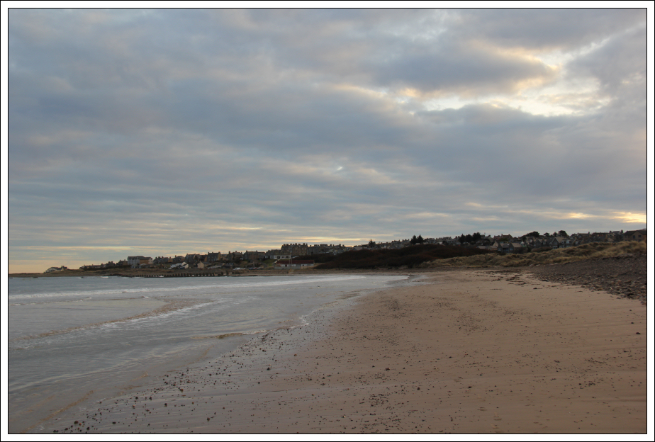
I then walked along the beach to reach Lossiemouth.
Looking back towards Covesea Skerries Lighthouse:

During the walk along the beach to Lossiemouth, I passed a small number of anti tank concrete blocks from World War II. Little did I know that in a couple of hours time I would be passing literally thousands of them.
WWII anti tank concrete blocks:

Looking back from Branderburgh:
I left the shore to walk around the marina and harbour.
Lossiemouth marina:
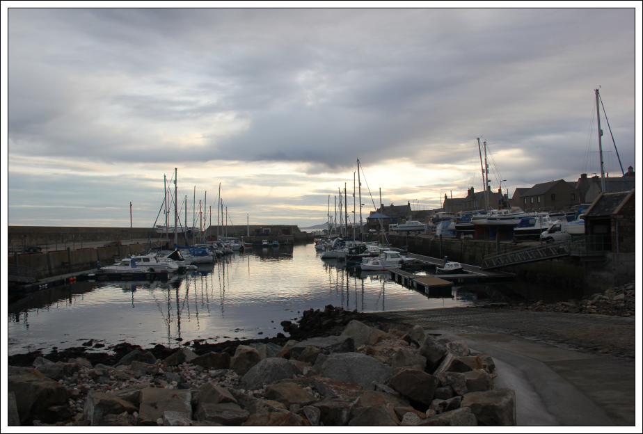
Lossiemouth harbour:
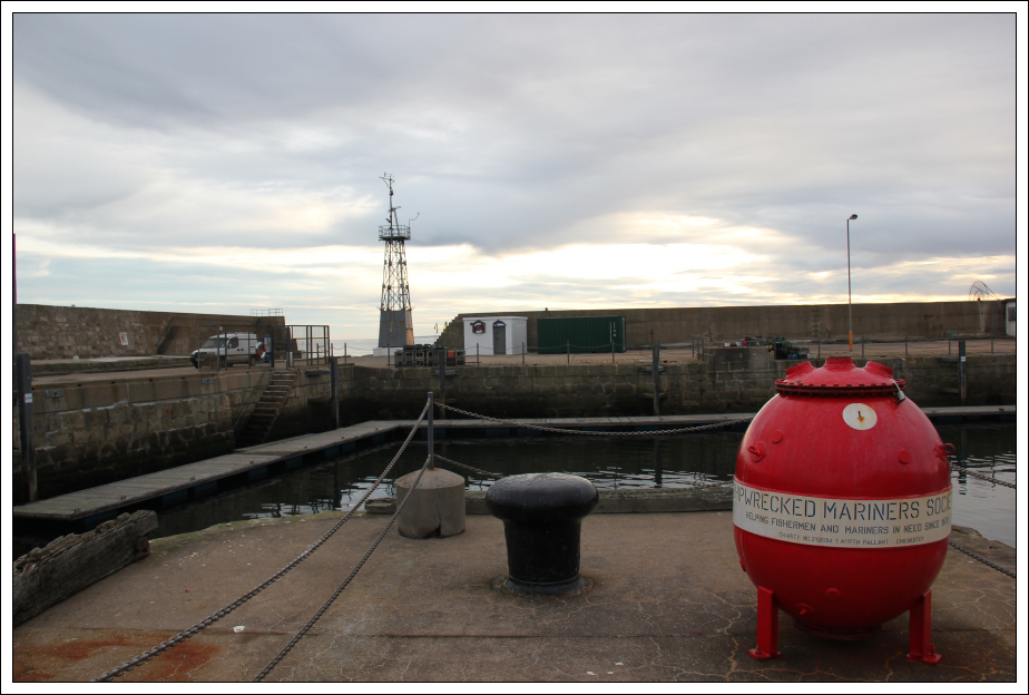
Fisheries museum and large anchor:

Workmen were busy repairing a large hole in the harbour wall caused by a severe storm in December 2012. It’s only taken Moray Council a year to start the repairs; cost of repair £450,000!
Looking towards distant Bin of Cullen from Old Harbour:
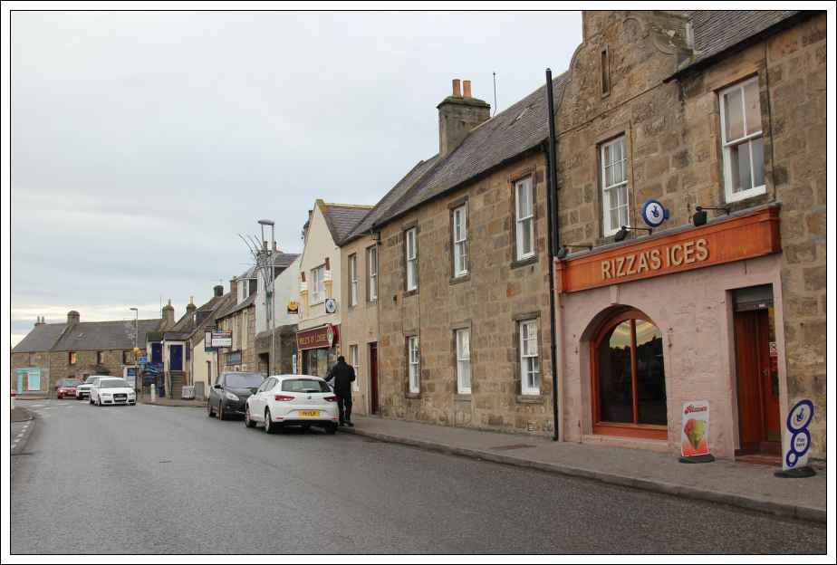
If walking round Lossiemouth, a diversion into Rizza’s Ices is a must. A double cone of Strawberry Cheesecake ice cream and Toffee Apple ice cream was delicious

.
A brief diversion for some ice cream:
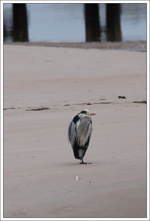
While walking along eating my cone, I spotted a Grey Heron standing on the beach. Photo taken with cone in one hand and camera in the other

.
A Grey Heron standing on beach:
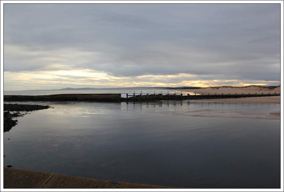
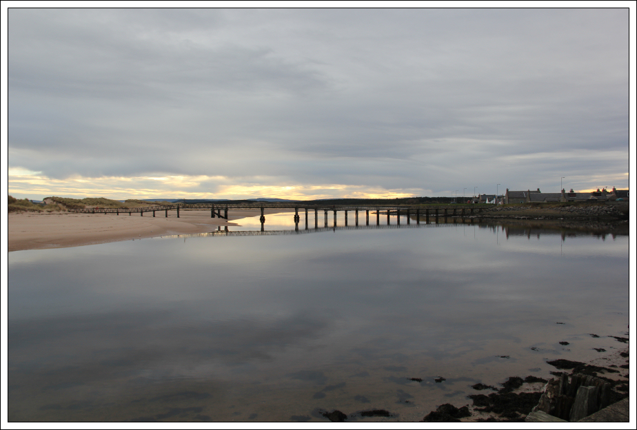
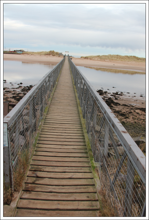
Wooden pedestrian bridge leading onto the sands:
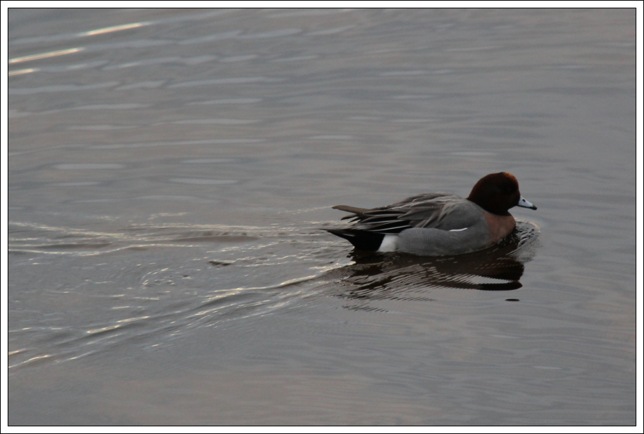
Wigeon:
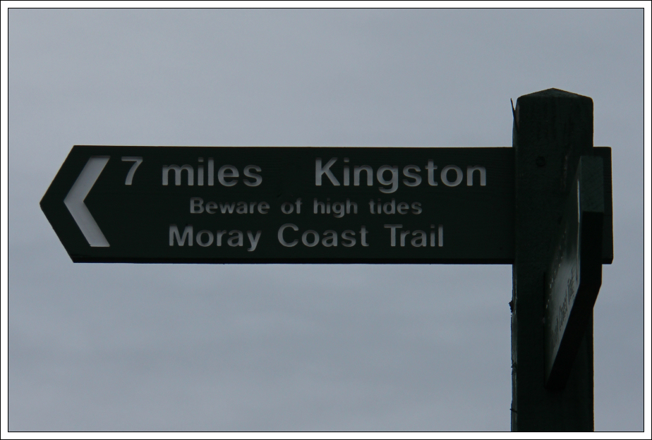
On reaching the long wooden pedestrian footbridge that leads onto the beach, I noticed a sign advising that it was seven miles to Kingston.
Seven miles to Kingston from wooden pedestrian footbridge:
I have crossed this footbridge numerous times over the years on many, many visits to Lossiemouth. It is a fantastic bridge leading onto a fantastic beach.
Crossing the wooden pedestrian footbridge:
The beach today was pristine as it was only an hour or so after high-tide.
It was really nice to walk for 2-3km along the sand.
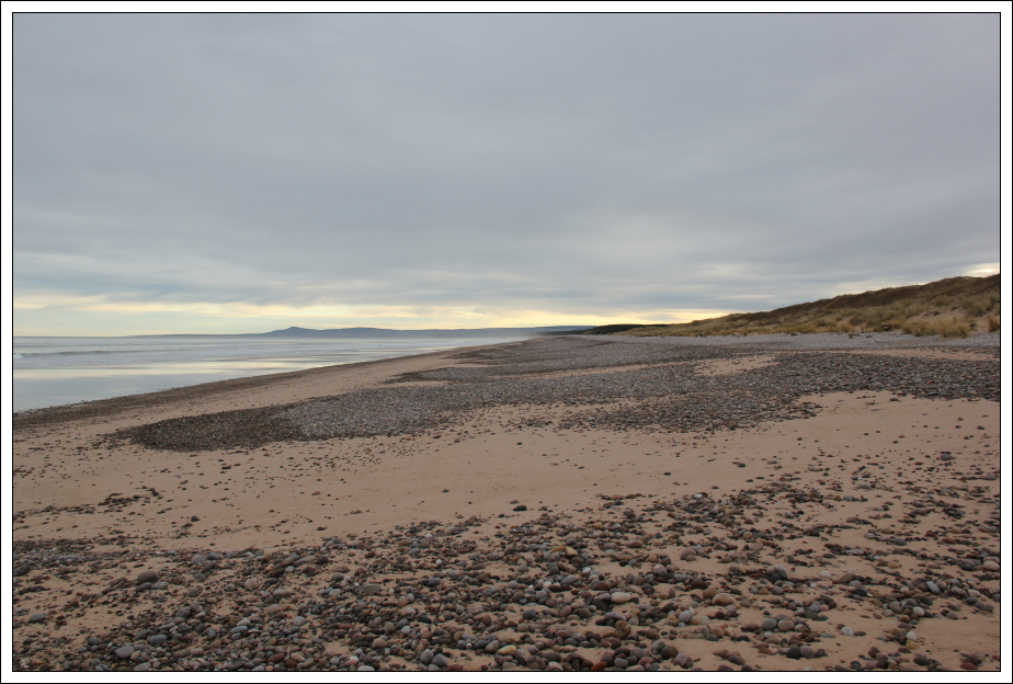
Looking along Lossiemouth East beach:
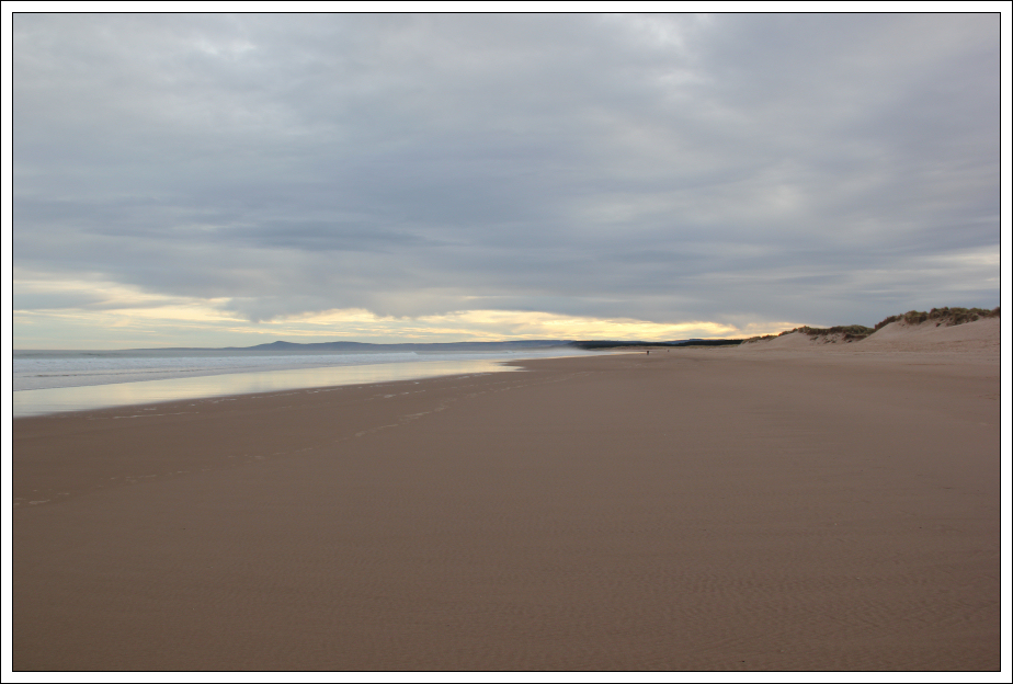
Looking along Lossiemouth East beach:
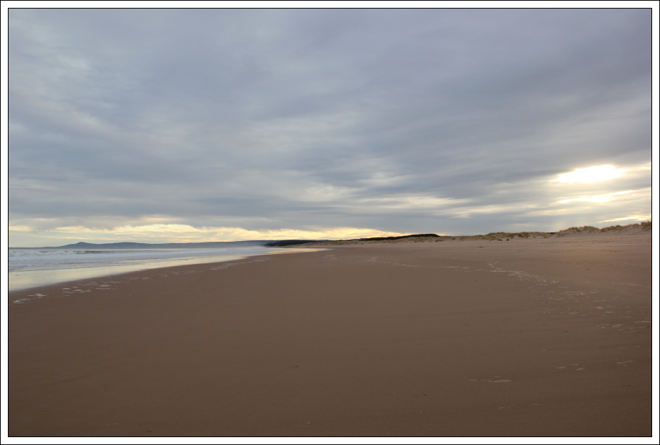
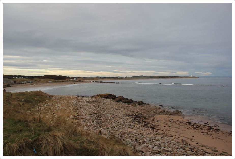
Looking back to Lossiemouth from East beach:

Circa 2 – 3km beyond Lossiemouth, the beach changes from nice golden sand to pebbles. These pebbles continue all the way to Kingston and to Spey Bay and beyond.
I started off walking along the pebbles but it was really hard work so instead I dropped down off the pebbles onto the Moray Coastal Trail track.
The start of several miles of pebbles:
The Moray Coastal Trail track is a bit variable along this section of coast; fairly good in some places and not so good in others.
Moray Coastal Trail track (avoiding the pebbles):

As I made my way along the track, I heard a helicopter ahead of me. On seeing the low-flying helicopter ahead I got my camera out but didn’t have sufficient time to get it onto manual and set the various settings.
Low-flying helicopter:
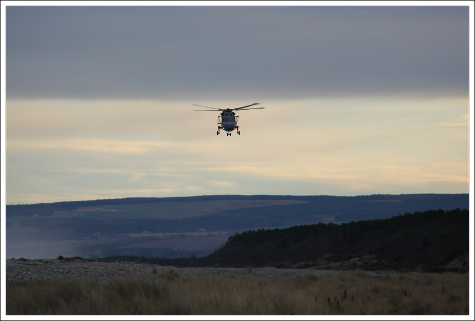
The helicopter flew right over my head, I would estimate 25m above me. At its closest I couldn’t get the whole helicopter into the frame of the camera. It was close
.
Low-flying helicopter (up-close):

Circa ten minutes later, I also spotted an RAF Sea King helicopter, but it was some distance off.
RAF Sea King helicopter (full zoom):

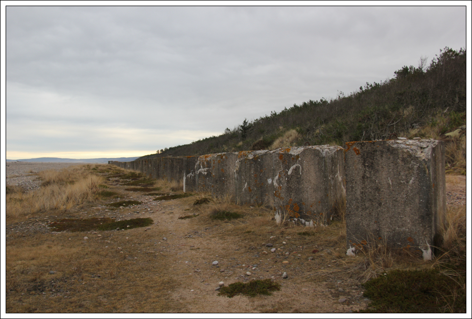
I then arrived at the start of the anti-tank concrete blocks and pillboxes that continued for several miles all the way to Kingston.
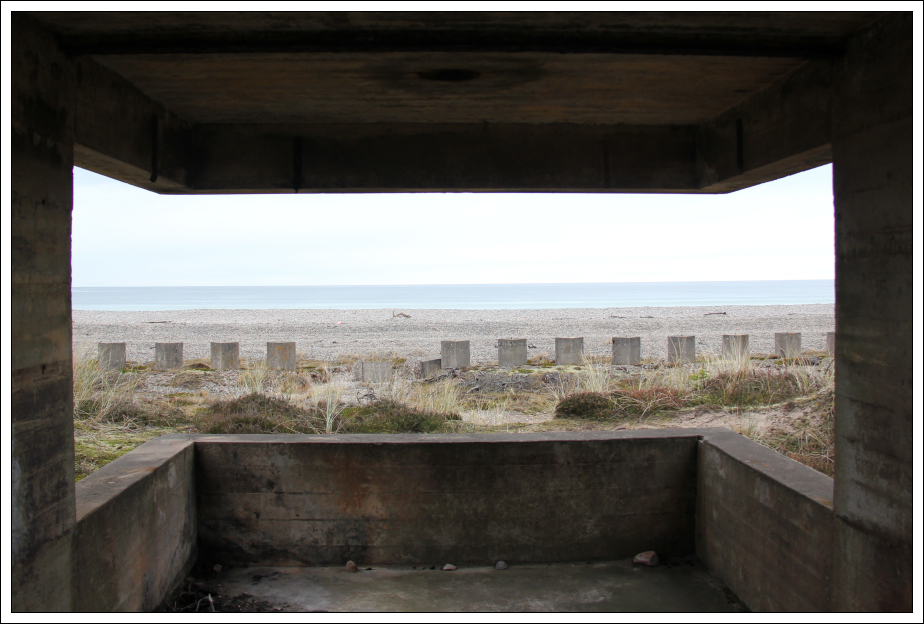
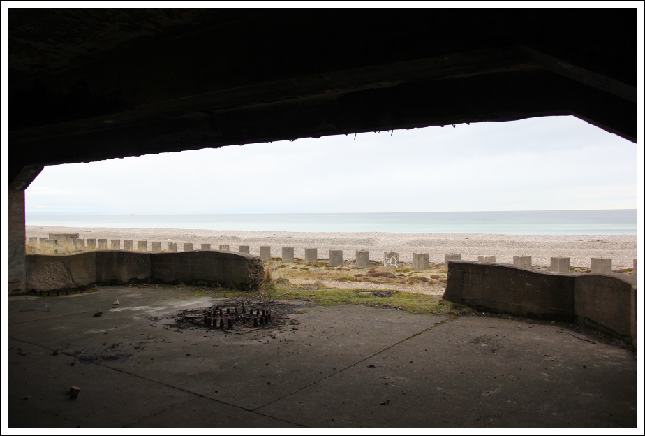
Looking back to Lossiemouth from inside a WWII pillbox:
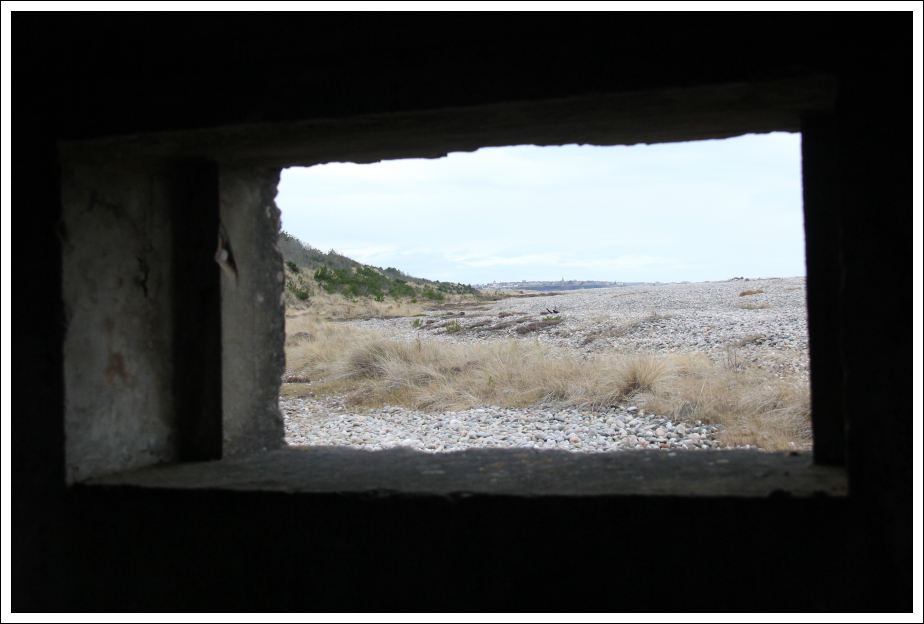
Looking back along the pebble beach towards Lossiemouth;

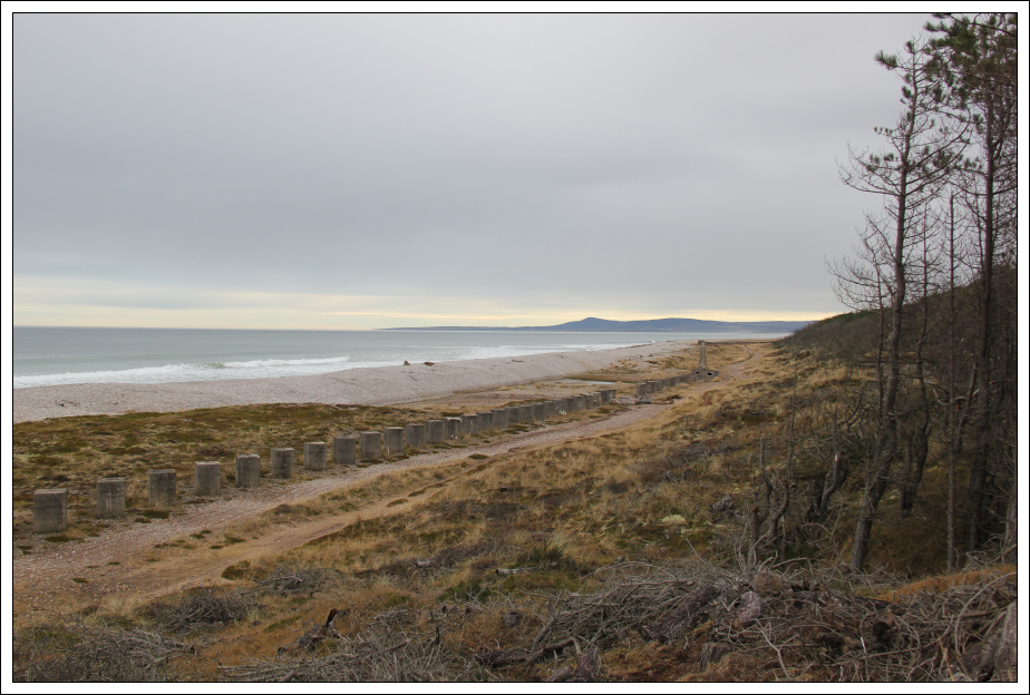
Millions of pebbles, looking towards Bin of Cullen:
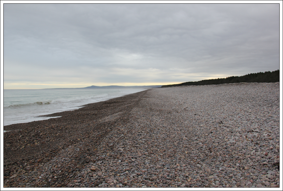
Several miles of anti tank concrete blocks:
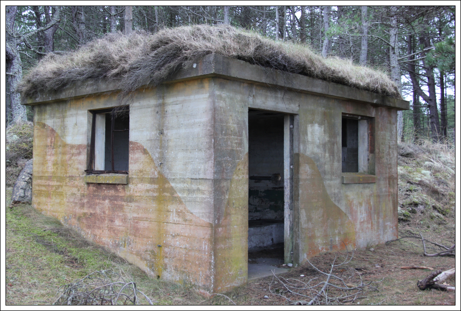
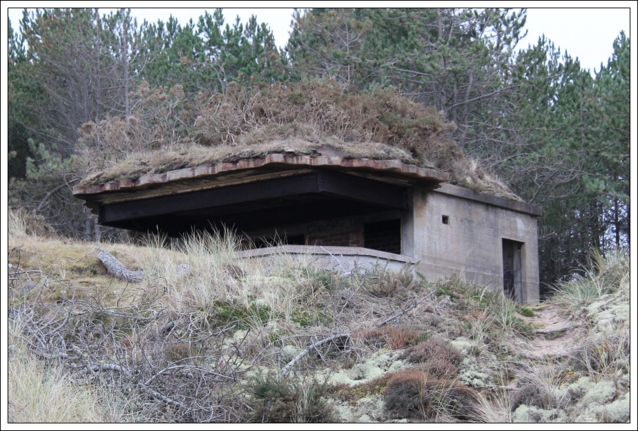
As well as anti tank concrete blocks and pillboxes, I also found several large lookout buildings and visited every one of them for a look inside.
Inside a WWII concrete lookout:
A WWII building:
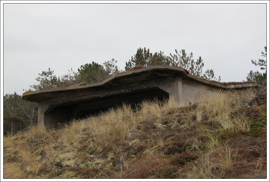
A larger concrete lookout:
Looking out from inside the lookout:
Graffiti:

Another WWII lookout:
If you like WWII concrete blocks and buildings this walk is a must.
Thousands of anti tank concrete blocks:
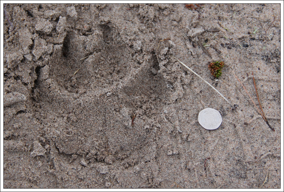
Just beyond the concrete buildings I spotted numerous animal paw prints. At first I didn’t have a clue what they were as they appeared too large for a dog. However, I’m assuming they must be the paw prints of a very large dog as I can’t think what else they could be.
A very large dog paw print (20p for scale):
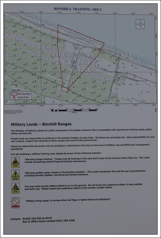
A few kilometres before reaching Kingston, I passed through the Binnhill Firing Range. There were no flags flying today, so it was safe to pass through.
Binnhill Firing Range sign:
Looking back along the pebbles towards distant Lossiemouth:

It was nice to reach Kingston and my car.
Approaching Kingston:

Beach Road, Kingston:

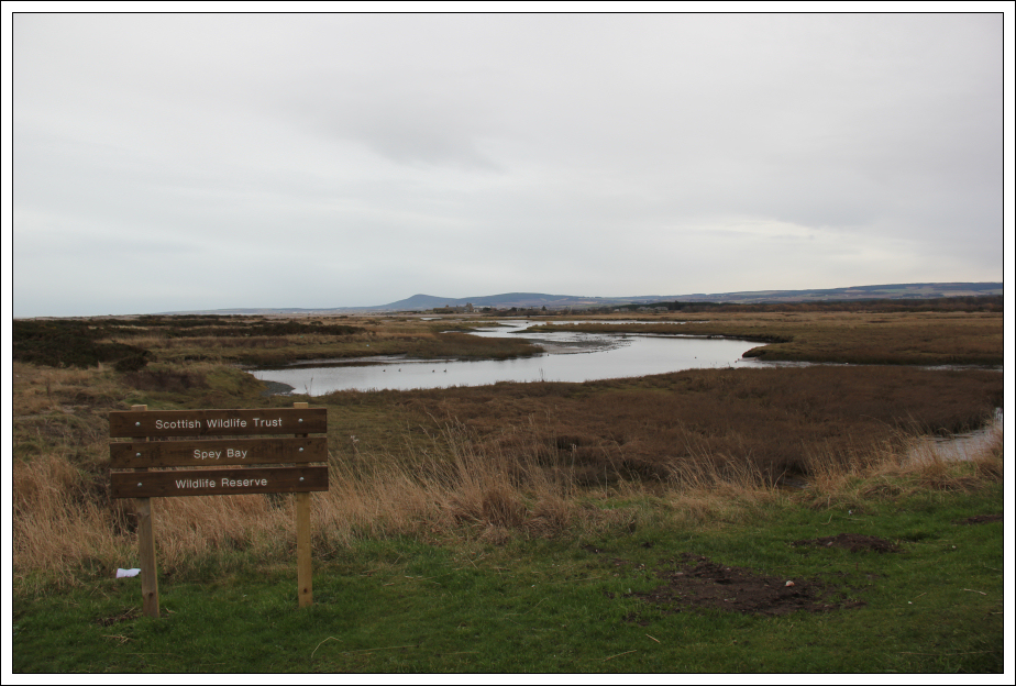
Spey Bay Wildlife Reserve, Kingston:
An enjoyable walk. Looking forward now to tackling Lossiemouth to Forres
.
