free to be able to rate and comment on reports (as well as access 1:25000 mapping).
This story is not about big mountains and long hikes, but a nice seaside wander. As much as we could manage during our week off, when weather turned sour

Some time ago we walked from Balintore to Rockfield - a great longer low level walk. Back then I wondered if there was a path in the other direction, to the southern cliffs of Balintore. The time came now to check it, though due to unstable weather we didn't plan a long cliff exploration. Kevin's idea for a full day's trip is to climb Hill of Nigg from Balintore, combining seaside strolling with sub bagging

Today, just a bit of sniffing around this beautiful yet somehow less popular area.
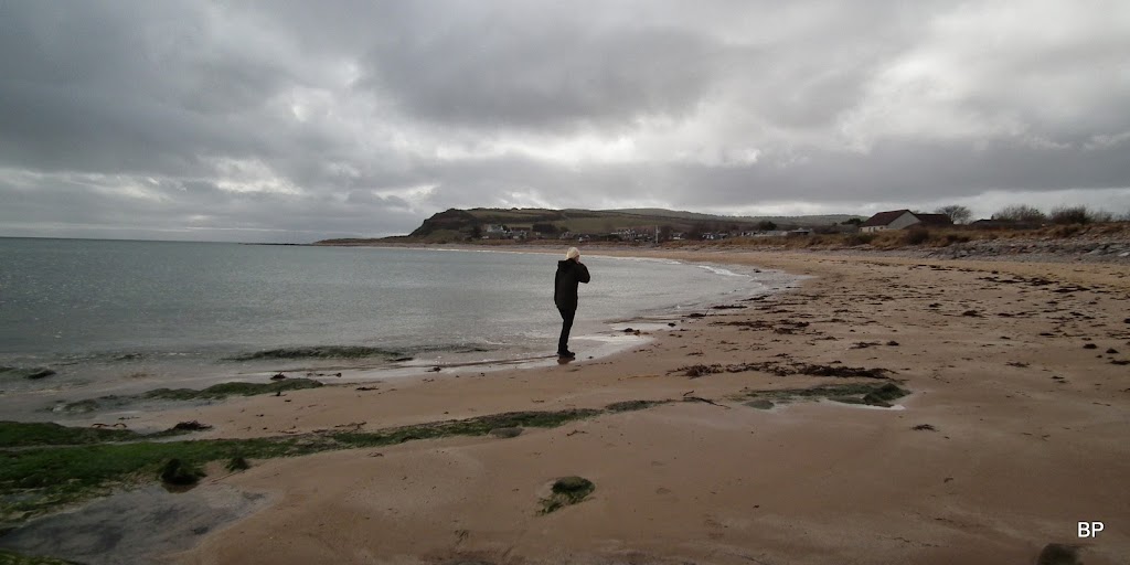
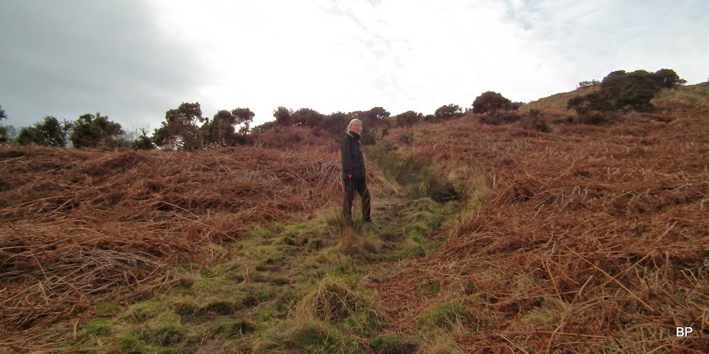
We started from Balintore harbour, where there is ample car park, walked along the beach to the bottom of the cliffs, then climbed up to get some better views

The path on top of the cliffs is not in the best condition, overgrown and narrow, so perhaps the best time to lurk here is before all the vegetation (mostly bracken and gorse) make this walk next to impossible.
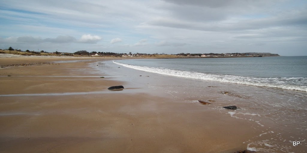
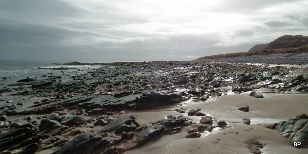
Shandwick Bay and the cliffs in the background:

As you see, the day was cloudy and I was glad to be here rather than on a Munro top. I am an addicted beach treasure collector, most of my collection consisting of shells, fossils and strangely shaped pebbles, but a sea urchin or a small starfish, if dried, would also be a nice addition. Kevin is livid with me every time I pick another "piece of rubbish" so these days I'm trying to be selective
Shandwick Bay is a good place to find small, colourful limpets, moon snails, screw shells, dog whelks and periwinkles.
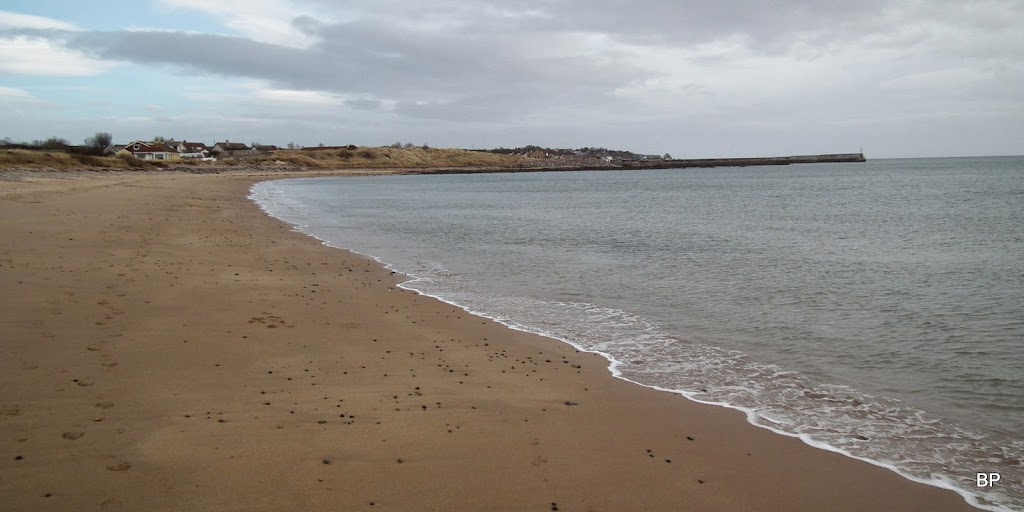
Back to the harbour:
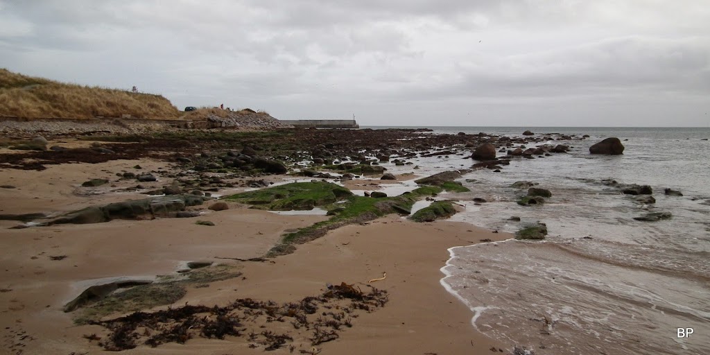
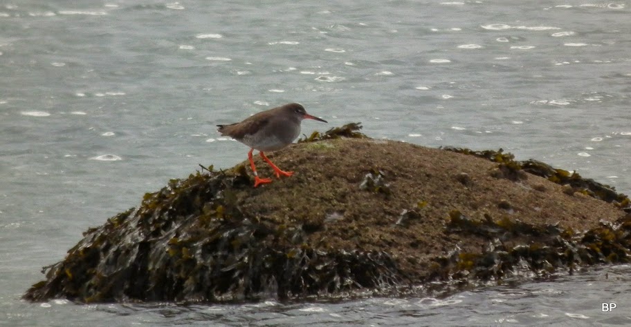
The beach was quiet today, not many human visitors
so the wildlife showed up as well, like this redshank:
A rare photo for Shandwick Bay: not a soul in sight:
The map doesn't indicate any path up the cliffs, but there is indeed one, quite obvious though a wee bit slippery. It's about 50m steep climb, but views are worth the effort.

Looking down from higher up the path:

More evidence that this route in summertime would be overgrown - just look at all the dead bracken:
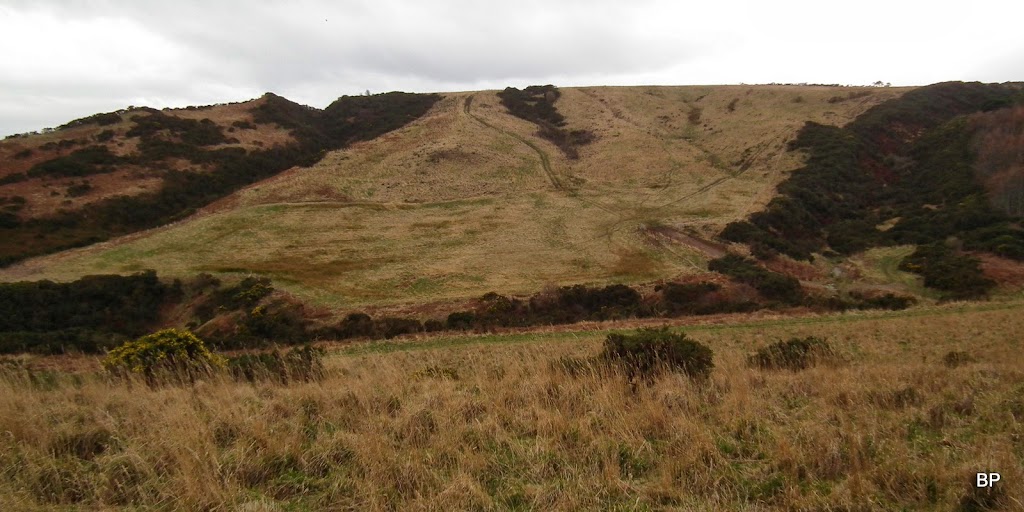
Once on top of the cliffs, we discovered some beautiful vistas in both directions.
North to Balintore:

South, with some flowering gorse in the frame - spring has arrived for sure!

We followed the path through the jungle of gorse to a stile. The path then follows the very top of the cliff and going is a bit rough. In summer this could be near impossible, as I mentioned earlier, and even now, care should be taken as the path is narrow and very close to the edge:

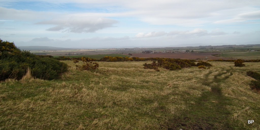
We spent some time exploring the area:

We reached a small tree plantation and here we noticed a track (another feature not on the map) heading down to Port an Righ bay. It doesn't actually go all the way to the bottom of the cliffs, just gives access to the nearby fields:
A small stream flows into the sea here. On a longer trip, we would follow this track and climb the other side of the "valley", then walk further along the cliffs, but today we only planned a short outing, so we decided to turn back here.
We found the original path again and soon we were heading back to Balintore, with nice views still around:
Kevin noticed something interesting from the distance - a standing stone. A part of Pictish Trail. We decided to have a closer look later on:

This time, instead of returning down the slippery slope to the beach, we followed another path, which took us more gently down to an old quarry. To get to the beach from here, one has to jump over a low fence. Soon we were back in the familiar sandy surrounding:
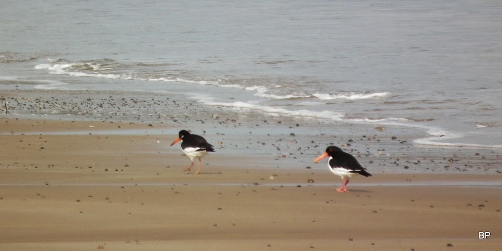
Oyster catches on a parade:
Tide heading out and a few rays of sunshine:

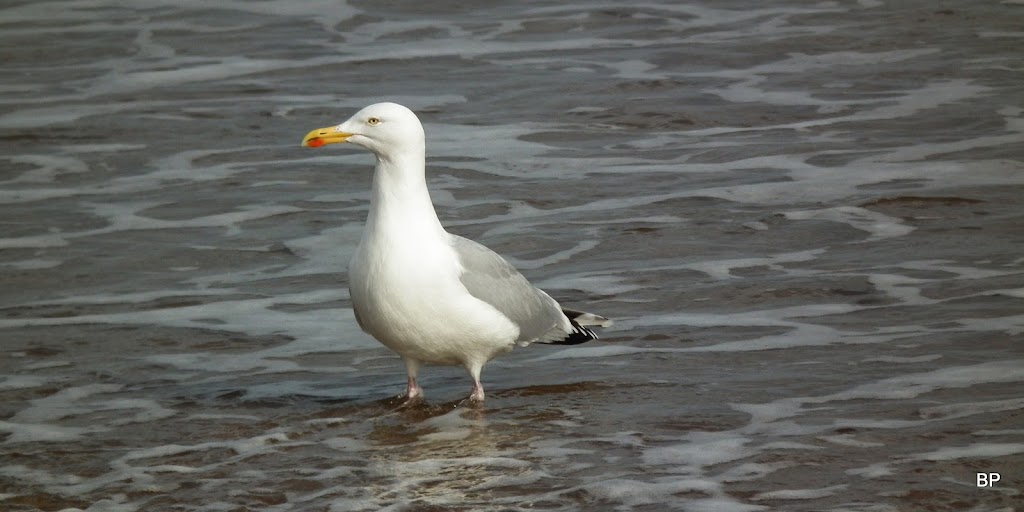
I had cold feet just from looking at this herring gull
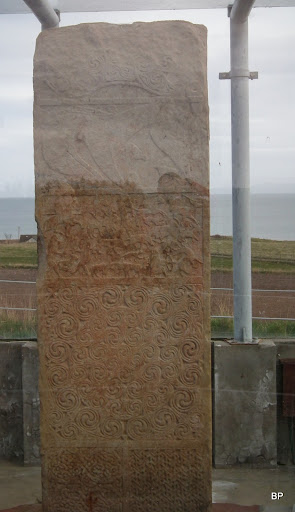
We returned to the car and drove the short distance to Shandwick Stone - you can park in a nearby layby, there is good access to the stone, itself locked in a glass box. You can't touch it but you can get close enough to almost feel the past...
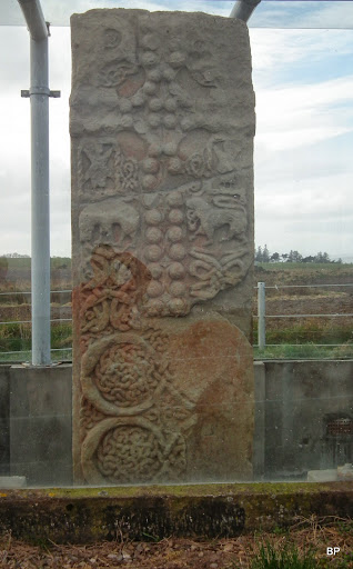
The stone (Clach a' Charridh in Gaelic) was carved and erected approx 1200 years ago. It is over 10ft (3m) tall. A Christian cross has been carved on the seaward facing side, whereas the other is separated into six panels. The first from top is a standard Pictish double-disc, the second - a Pictish beast and the third most likely a hunting scene, with warriors depicted alongside an eagle, a boar and various other creatures. The bottom three panels consist of woven patterns.
The land-facing side of the stone. Apologies for the reflections, it was tricky to get a good photo through he glass...
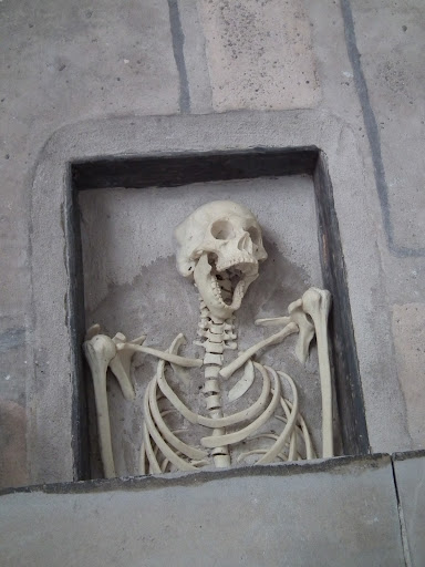
It's worth a mention for all interested in archaeology and Pictish history, that in the nearby Portmahomack, Tarbat Discovery Centre is a must-visit. We popped in during Doors Open Days in 2012. A great journey back into past, and even a face-to-face encounter...
One more story about my spring wanders will be coming soon
