free to be able to rate and comment on reports (as well as access 1:25000 mapping).
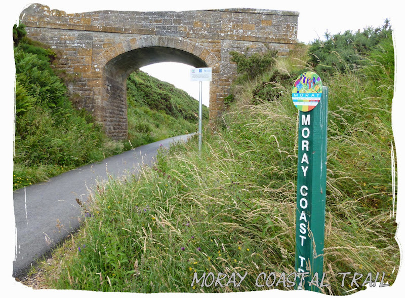
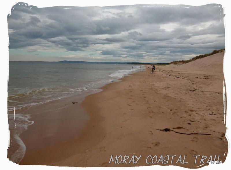
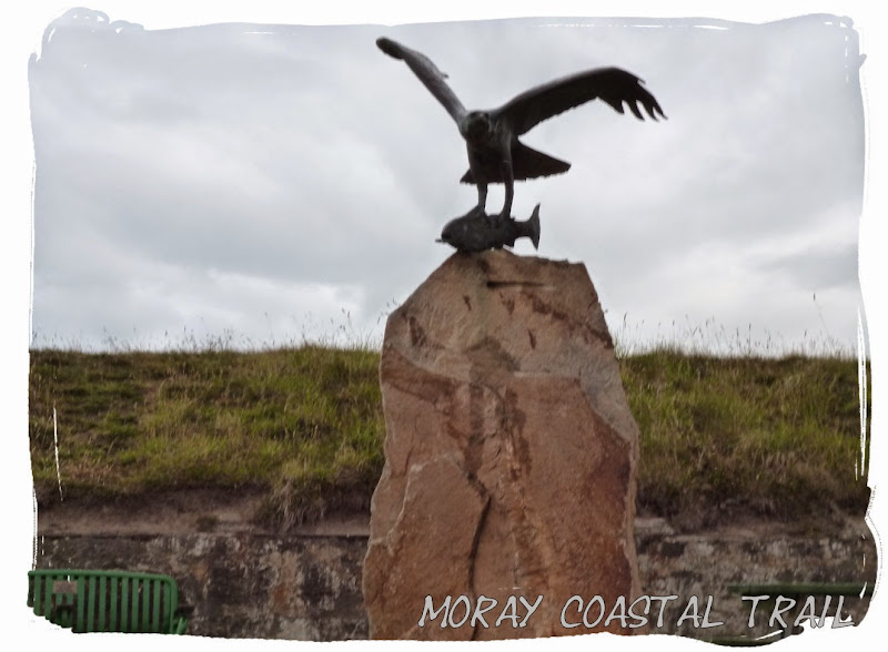
The Moray Coastal Trail is a waymarked long distance trail in north-east Scotland that covers almost the entire 50 miles of Moray's coast, linking the settlements (Forres, Kinloss, Findhorn, Burghead, Hopeman, Lossiemouth, Kingston, Garmouth, Spey Bay, Portgordon, Buckie, Findochty and Portknockie) between Forres and Cullen.
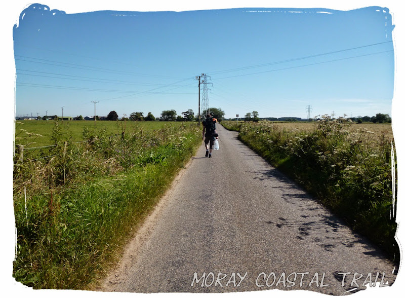
... My friend and I walked the trail over 3 days and 2 nights, staying overnight at campsites. Friday 11 July 2014 - Forres to Lossiemouth (21 miles)We caught the early train from Aberdeen to Inverness and hopped off once reaching the small town of Forres where our three day walk would begin. The plan was to walk about 17 or 18 miles and find a spot to wild camp some miles before Lossiemouth.
It was still early when we arrived (about 8:30am) and so we took a walk into the town and grabbed a quick Coffee and snack from the bakers before following the cycle route towards Findhorn. It appeared that we were in for some good weather.

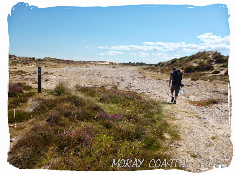
 Heading to the beach... 3 days of Sun, Sand and Seagulls!
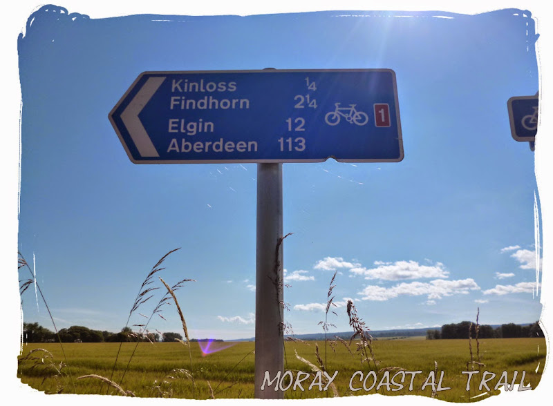
 Arriving at Findhorn
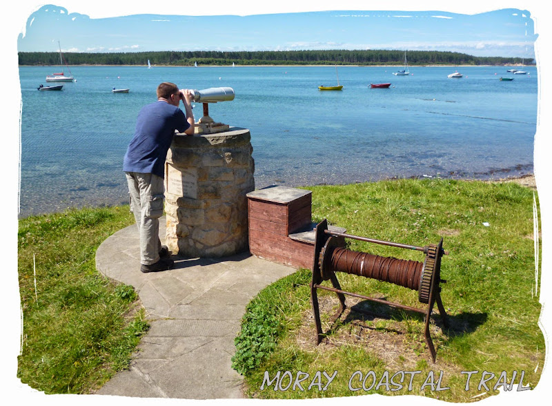
 Findhorn has some great views...
 ... and some not so great views!!
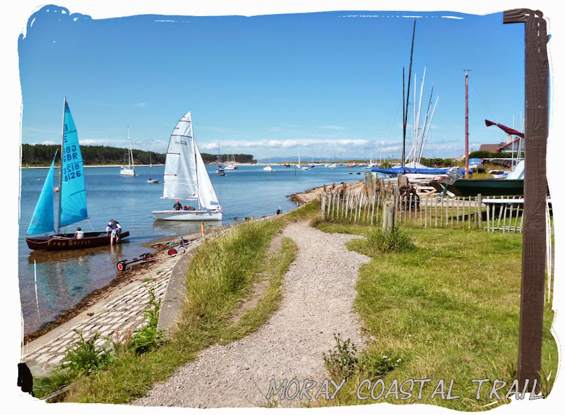
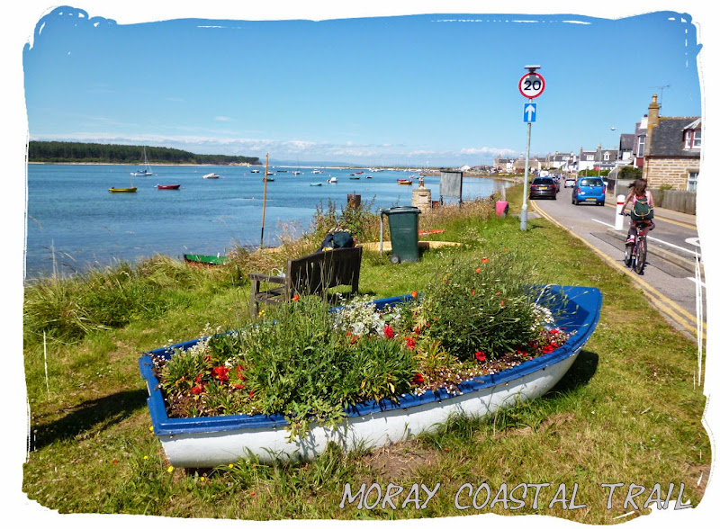
Findhorn harbour was just starting to get busy as we passed through, lots of people were out enjoying the sunny weather, boats out sailing, kids jumping off the pier. We stopped at the cafe for a quick ice cream and then carried on towards Burghhead. We still had a long day ahead.
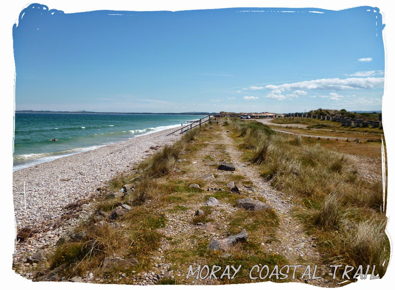
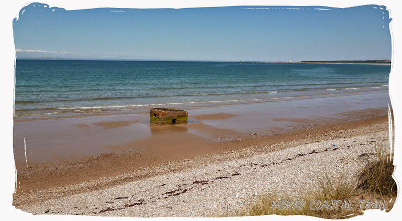
 Concrete pill boxes submerged in the sand left over from world war II - lots of these scattered about the beach and the sand dunes in Northeast Scotland.
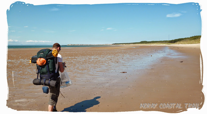 First views of Burghead in the distance
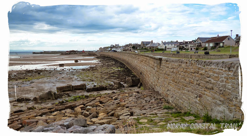 Finally at Burghead... but nowhere near our finish yet
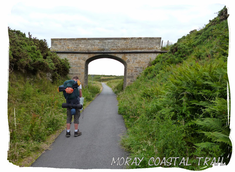
Once arriving at Burghead we decided we were hungry but there wasn't much at Burghead so we carried on a bit further to Hopeman, in the hope of finding a decent shop. We found ourselves on an old railway line following a cycle route to Hopeman, not a comfortable one either, as the ground had been tarmac'd - never easy on the feet when you're carrying a heavy pack.
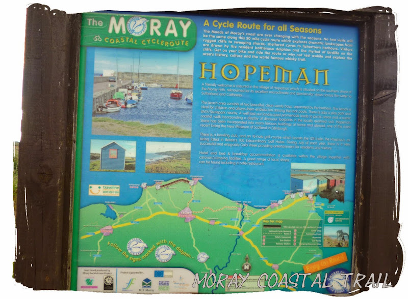
It didn't take long to reach Hopeman, 2 or 3 miles. We found a Costcutters store and replenished our supplies, splashing out on a disposable barbecue, a well deserved treat for later. Then we head off towards Lossiemouth.
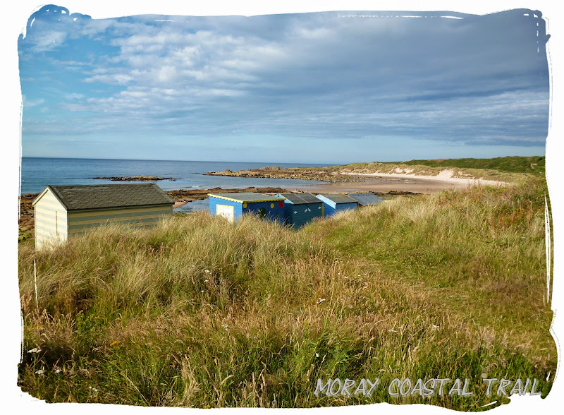 Beach huts along the coast leaving Hopeman beach
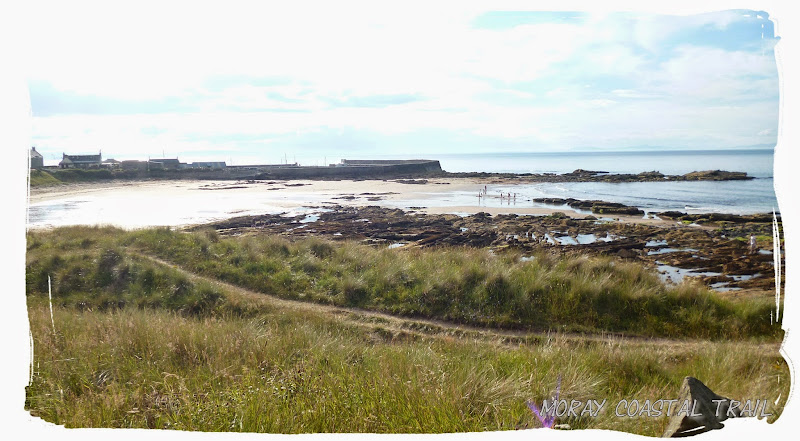 Looking back on Hopeman
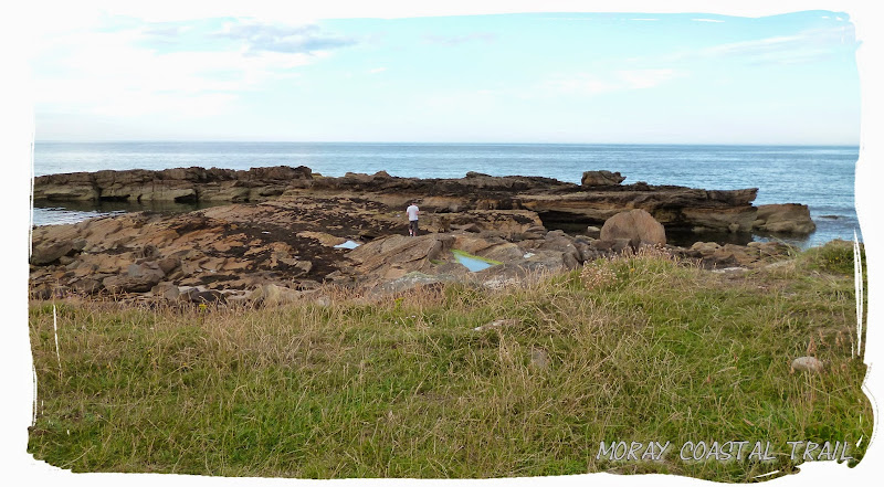 Exploring the rocks - dolphins out there somewhere
It must have been about 6pm when we passed through Hopeman and a couple of miles on we decided we had to eat, not wait. So out came the barbecue and the tasty treats.
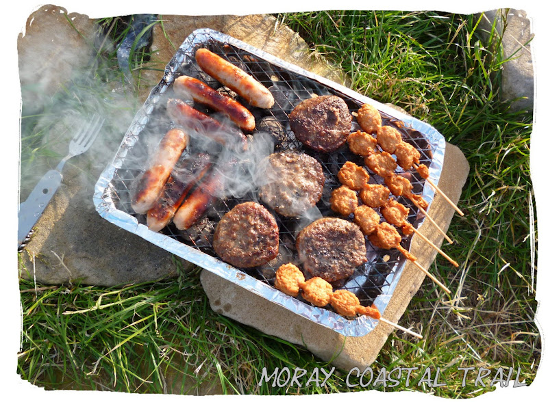 A tasty treat kept us going
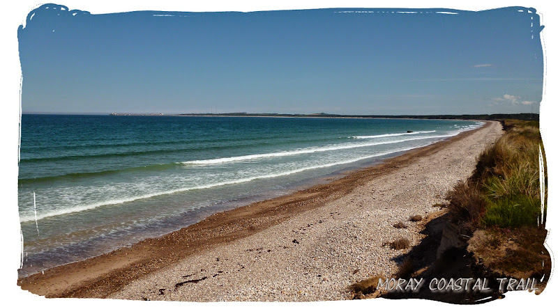
Then we carried on towards Lossiemouth, along the cliffside taking in some fantastic views and passing the Covesea light house to reach Silversands campsite.
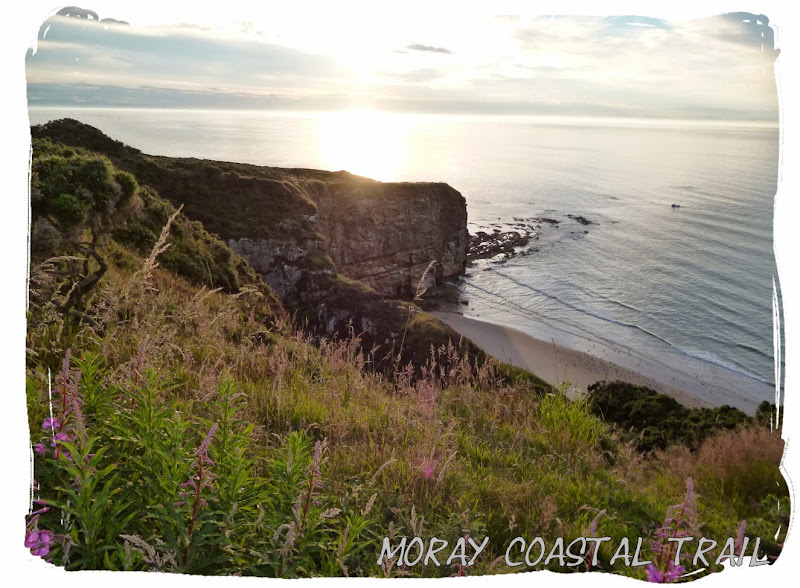
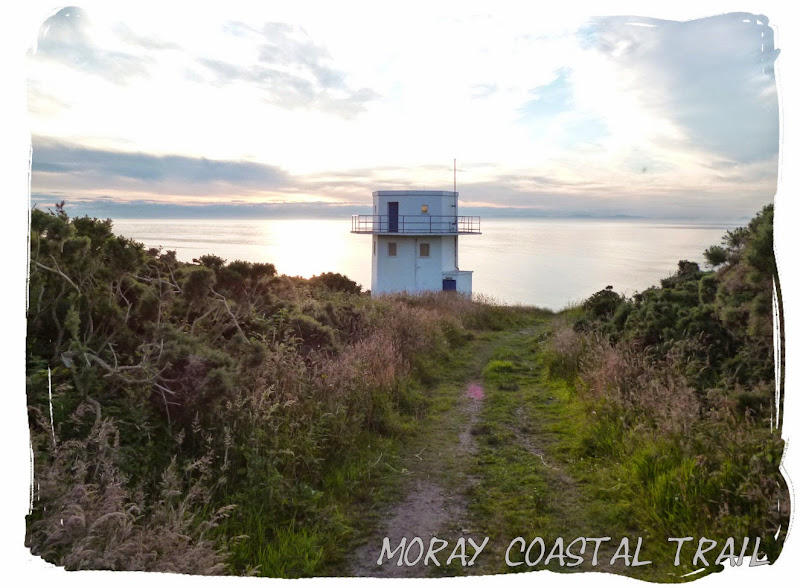
 Covesea Lighthouse
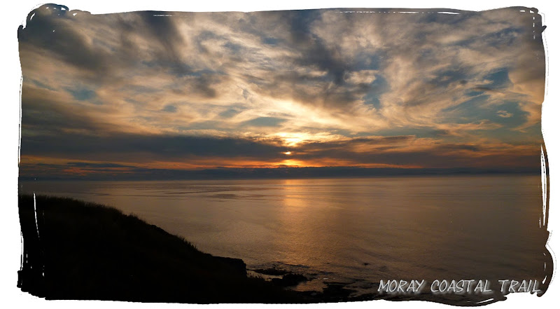 sun begins to set
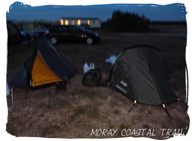
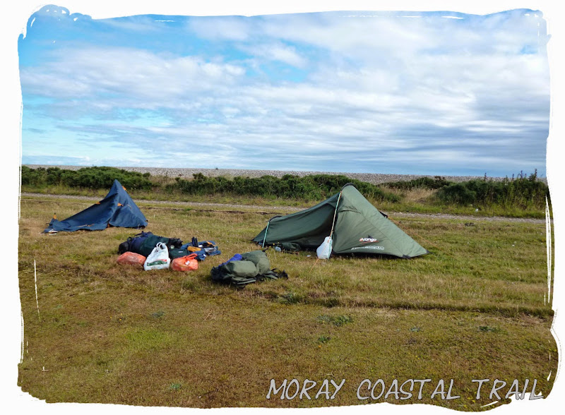
We couldn't find anywhere suitable to wild camp as we reached our destination and so ended up carrying on just a few more miles to reach Silversands campsite just in time to pitch the tents and crack open some Beers before dark. There were no staff around so we got a free night, I think we earned it!

 Saturday 12 July 2014 - Lossiemouth to Spey Bay (12 miles)
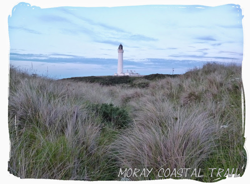
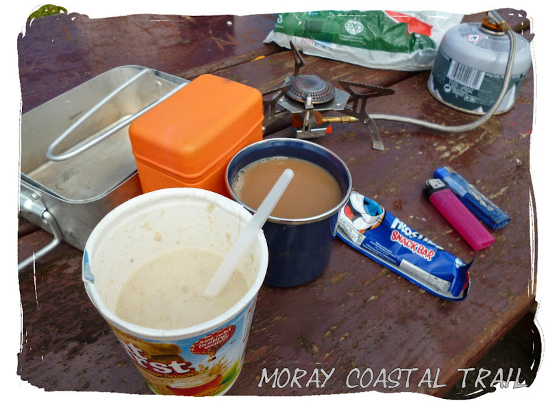
We were up early to use the campsite facilities before the warden arrived, performing a disappearing act just before 9. We made our way directly along the beach from Covesea lighthouse to Lossiemouth centre, stopping by some rocks to make breakfast, a brew and some porridge. It had kept dry overnight and would stay dry for most of the day.
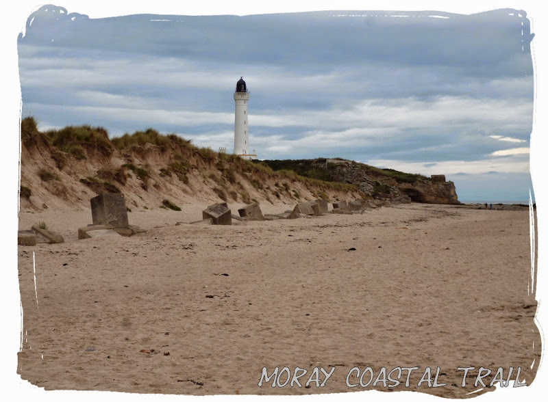 Looking back on Covesea Lighthouse
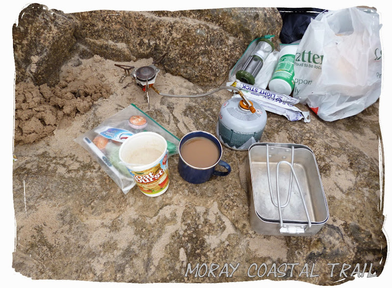 Breakfast before making our way into Lossie
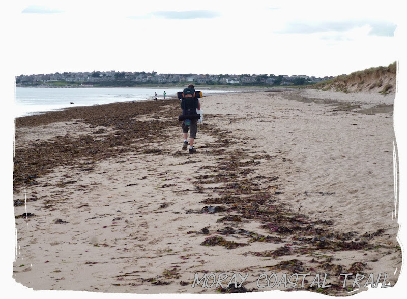 Onwards to Lossiemouth
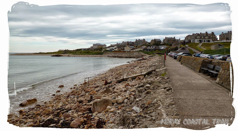 Arriving at Lossie'
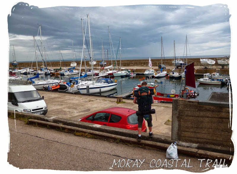 Lossiemouth Harbour
Once arriving in Lossiemouth it was still pretty early and we only had a 10 mile walk ahead of us, so we stopped for a couple of hours at the Steamboat Inn, by the harbour. Here we enjoyed a Latte and acquired a phone charge while making use of the free wi-fi to catch up with Facebook updates. We also had to replenish our supplies at the Co-Op to prepare us for Spey Bay as there would be no shop there. No barbecue though, just some tasty snacks and a few cans of Stella.
Once we had enough of Facebook (it didn't take long) we head off along the harbour, crossing the Spynie Canal to arrive back on the beach.
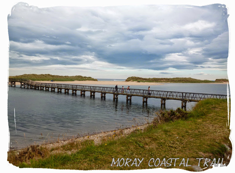 Crossing the Spynie Canal
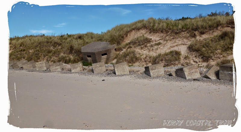
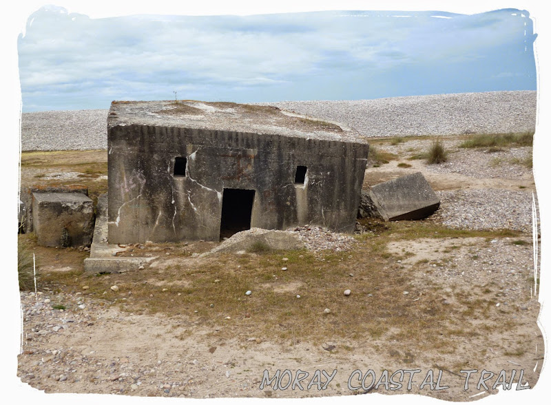
From here we continued along the beach and over the sand dunes for a good few miles to eventually pass a military firing range and more world war II defences (which I found quite interesting).
 Back on the beach
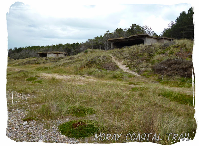 Concrete bunkers/shelters used during the war
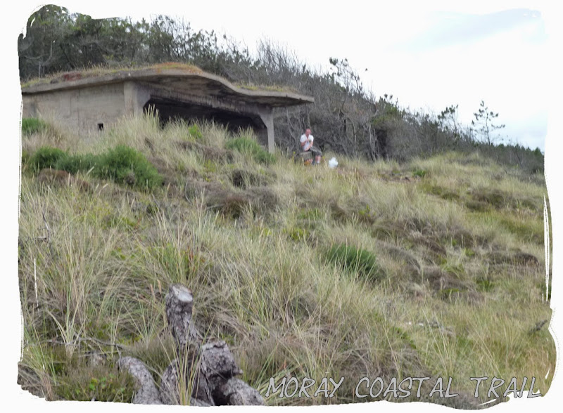
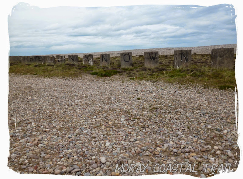 The Unknown
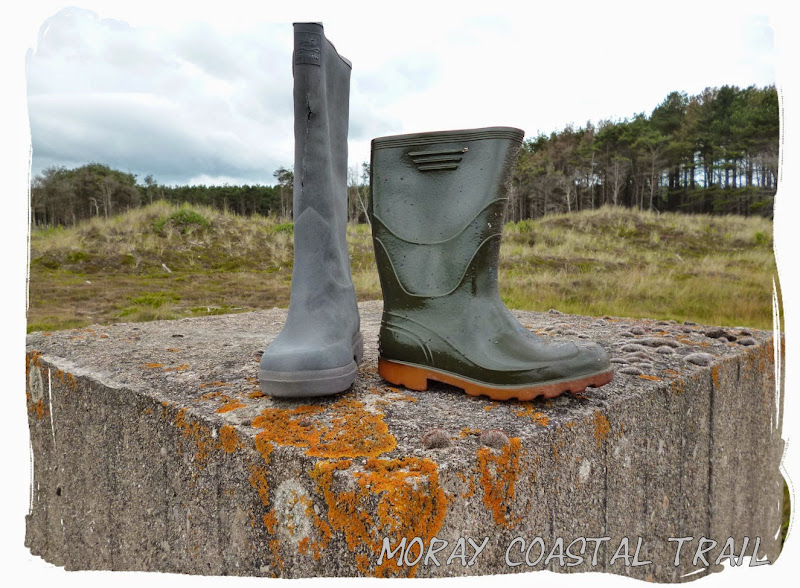 Random wellies - amazing what random stuff you find washed up on the beach
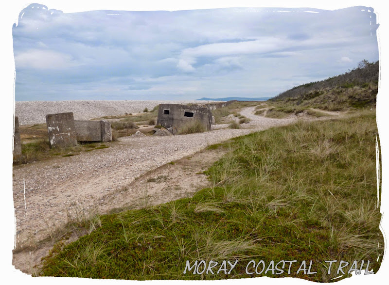
From the firing range we were about half way to Spey Bay. We soon left the beach and passed through the small village of Garmouth before crossing the old railway bridge over the river Spey. Then we sat down for Tea as the rain decided to come on before walking the last mile into Spey Bay.
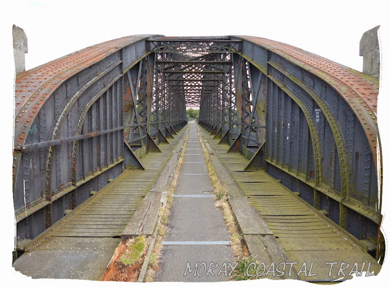 Crossing the spey
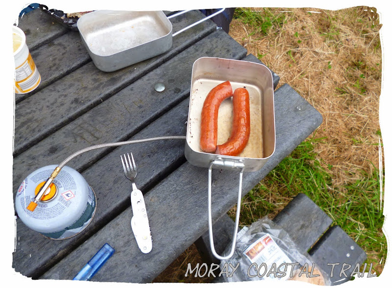 -Well earned smokey
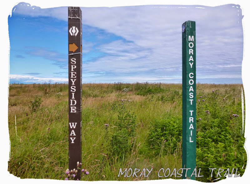
I was now in familiar territory as the Moray Coast Trail merged with the Speyside Way alongside the RSPB area. It was a year earlier that I had walked the Speyside Way and camped alone here by the river. The plan was to return to my original spot in the RSPB area for another wild camp but unfortunately there were two random cars parked there. I can only assume they were observing the wildlife as they had cameras attached to them and no owners in sight, whatever they were doing they weren't going anywhere.
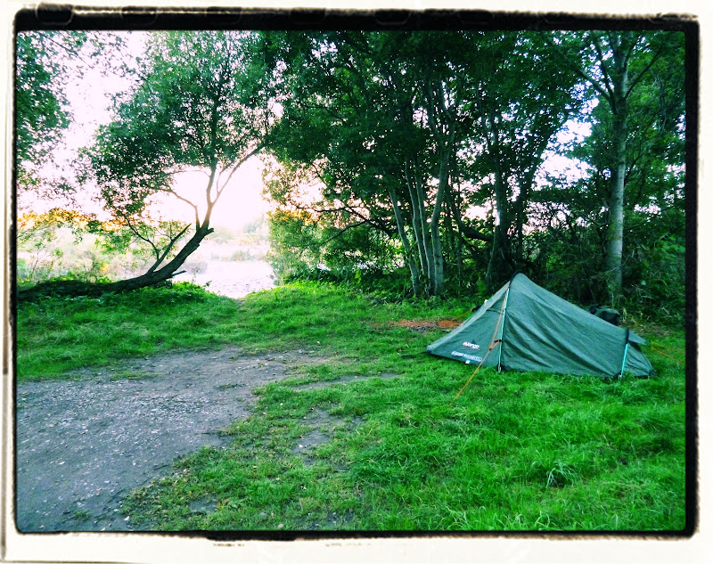 Last years camping by the river spey
We continued on for about 1 mile to arrive at the beautiful Spey Bay, where we sat about in the rain for a while deciding where we were going to camp.
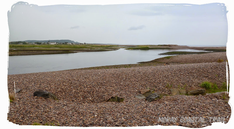 Arriving at Spey Bay
After much negotiations I came to accept that there was nowhere suitable to wild camp and we picthed up at the Golf Club caravan and camp site.
The remainder of the evening was spent out in the rain enjoying a few alcoholic beverages, sheltered by the clubhouse. There were a few other campers who we got talking to including a small group of german guys who had just began the Speyside Way.
 Enjoying a Stella at the clubhouse
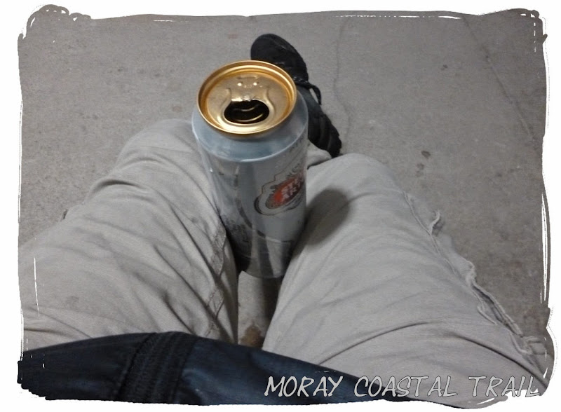 Sunday 13 July 2014 - Spey Bay to Cullen (14 miles)
After an entertaining evening and a most peaceful nights sleep it was that time again to pack away all the gear and head off on another long journey. This would be our last.
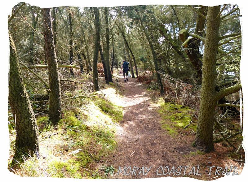
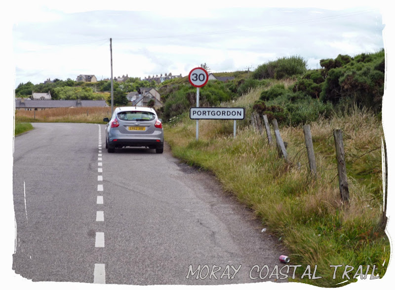
The weather had improved since the previous evening, the sun making an appearance as we followed the Speyside Way around the perimeter of the golf course, through the woods to reach Port Gordon, where we stopped for breakfast. Then we carried on to Buckie where the Speyside Way ends.
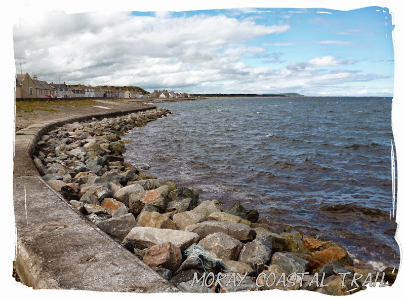
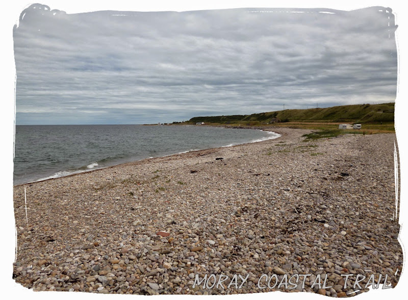
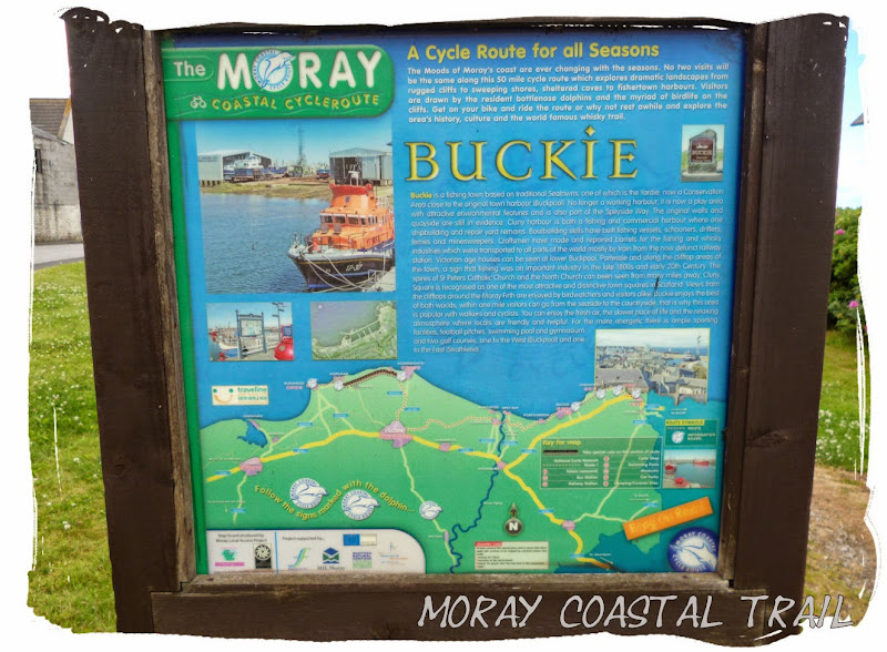 Buckie
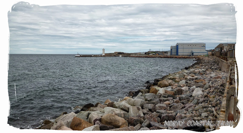
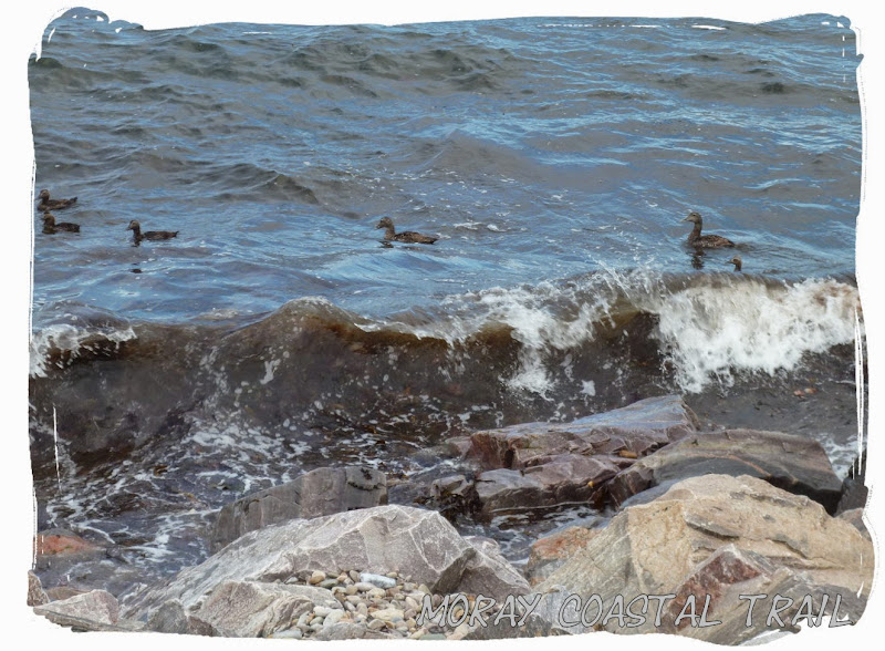 Ducky at Buckie
Upon reaching Buckie we walked through the town centre and grabbed some supplies from the Co-Op before heading down towards the harbour where we found a seating area to stop and have lunch.
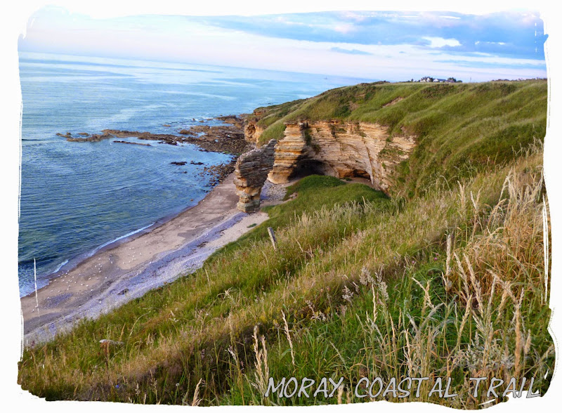
Then we shortly passed through Portessie where there is a cafe and public toilets situated on the seafront. Then there was another few miles to reach Findochty, Portknockie and finally Cullen.
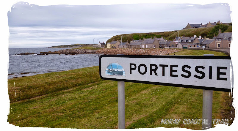
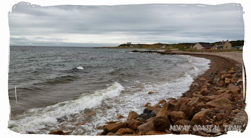 View at Portessie
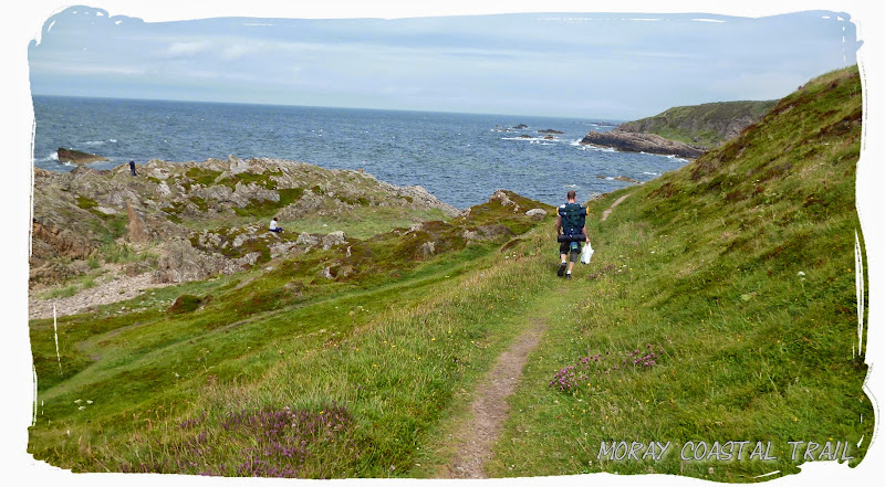 Back onto the cliffs after Portessie
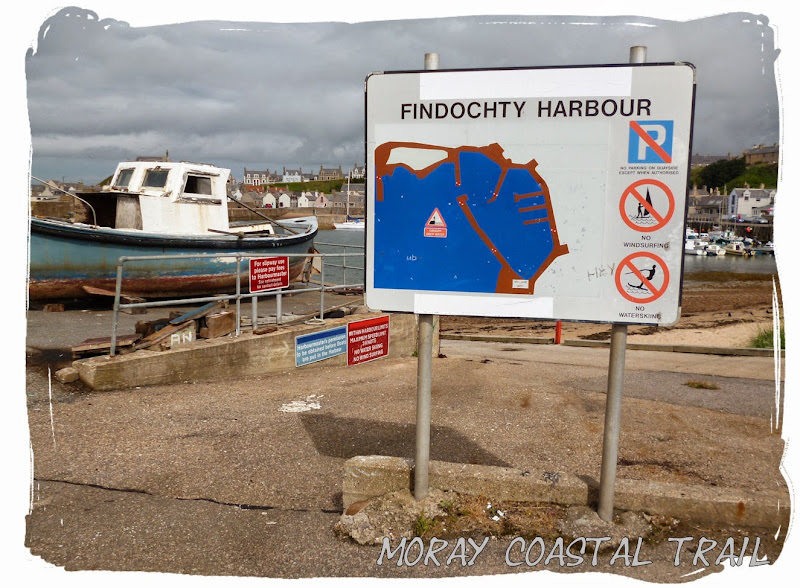 Findochty
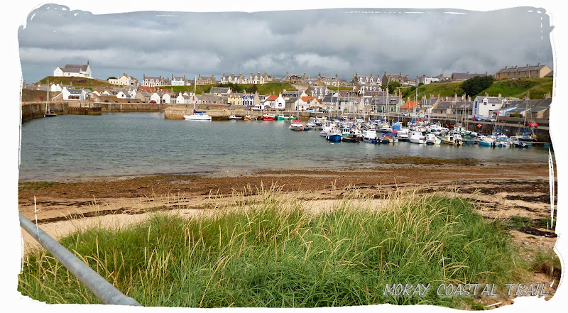 Findochty Harbour
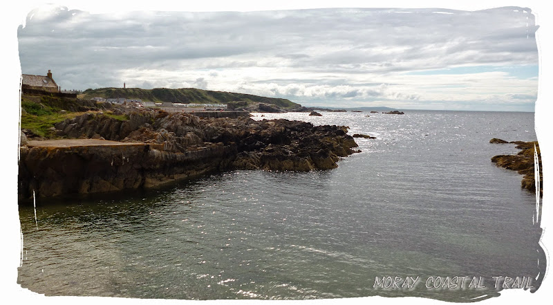 fine views
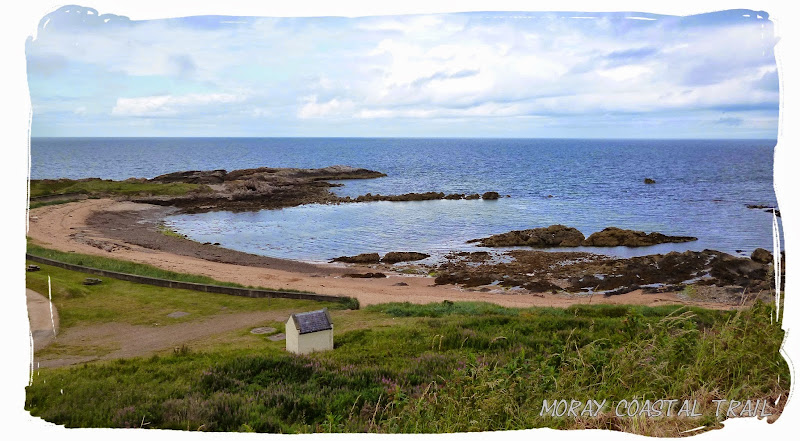
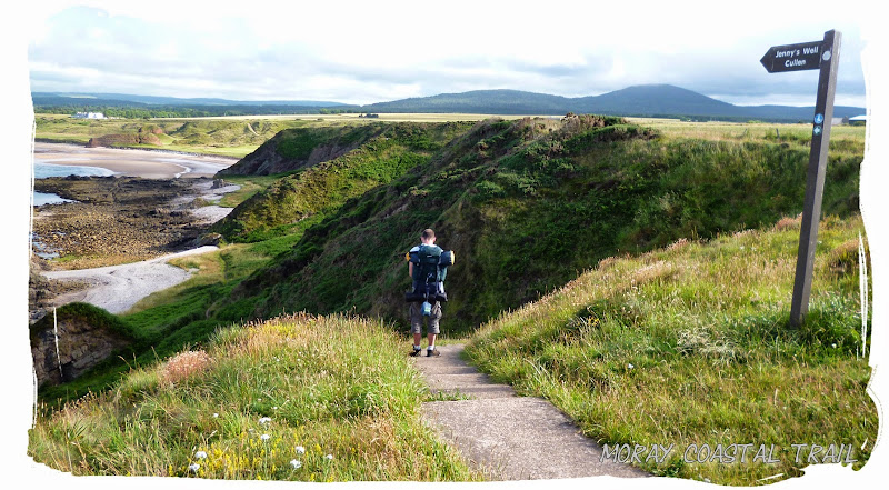
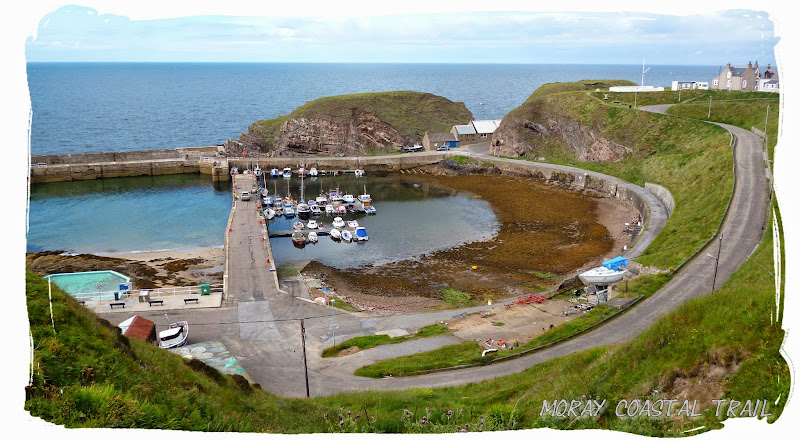 Reaching Portknockie
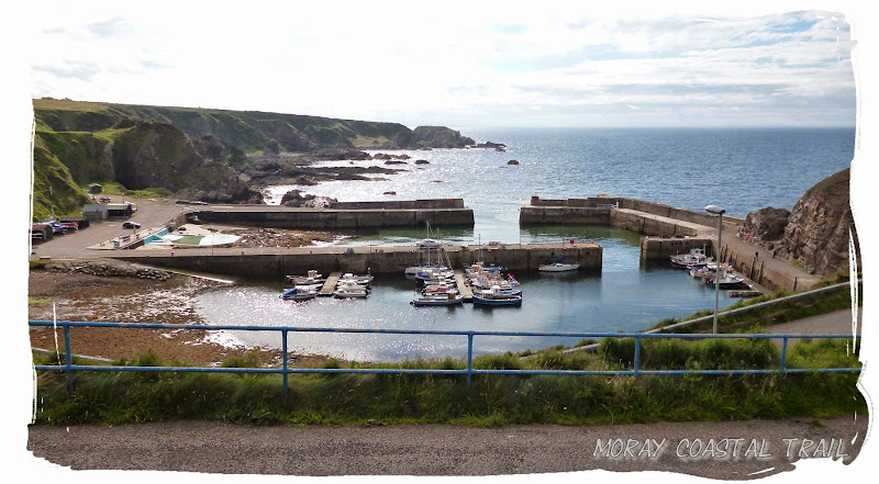 Portknockie Harbour
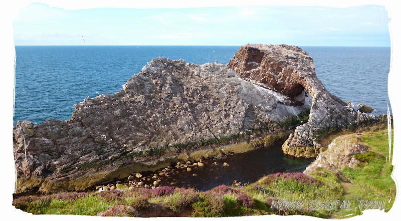 Bow Fiddle rock
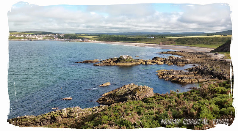 First views of Cullen
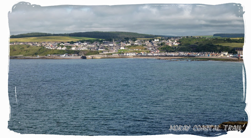
 Heading down to Cullen beach
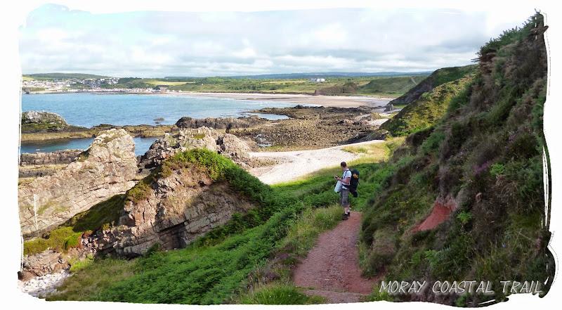
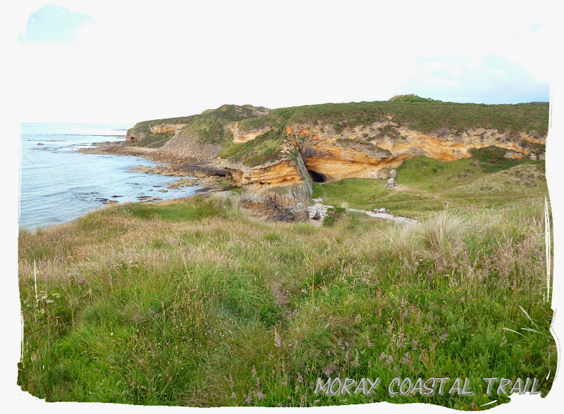
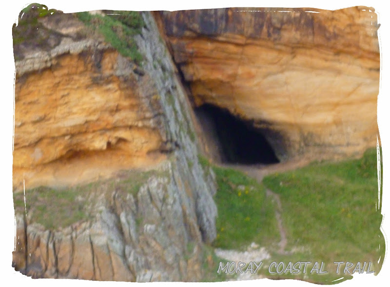
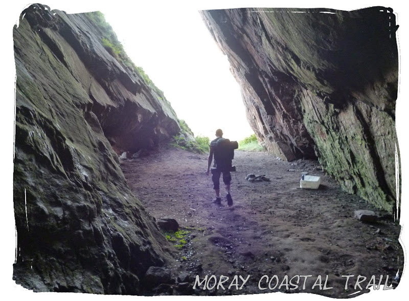 Exploring the cave
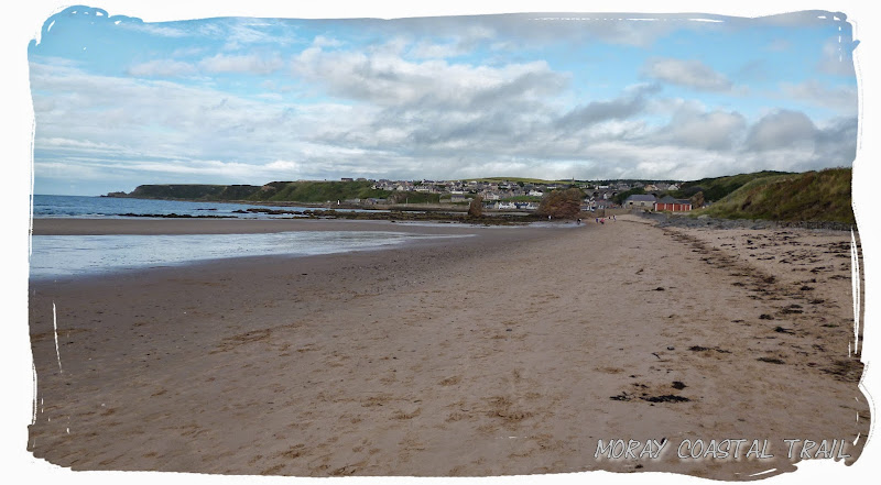
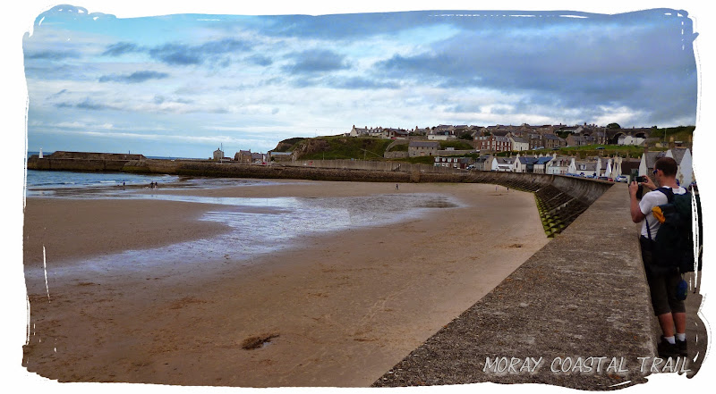 Made it safely to Cullen
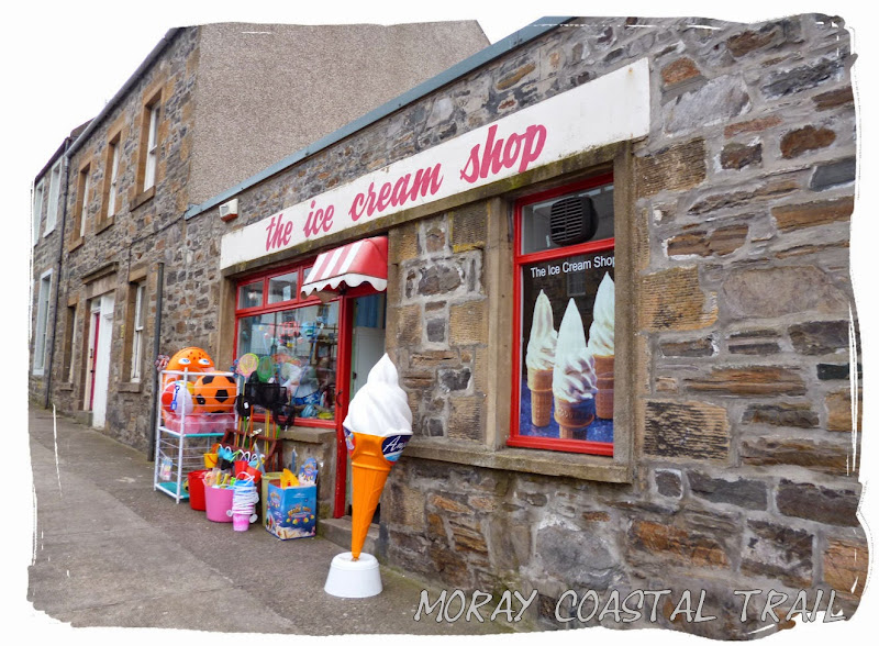
Once arriving at Cullen, the original plan was to find somewhere to camp but we were now in the town centre, there was no campsites nearby and we couldn't really be bothered going any further so after some fish and chips it was time to go home. We had just missed the last direct bus back to Aberdeen but luckily we could still make the Inverness to Aberdeen train if we caught the next bus to Elgin. So that's what we did!
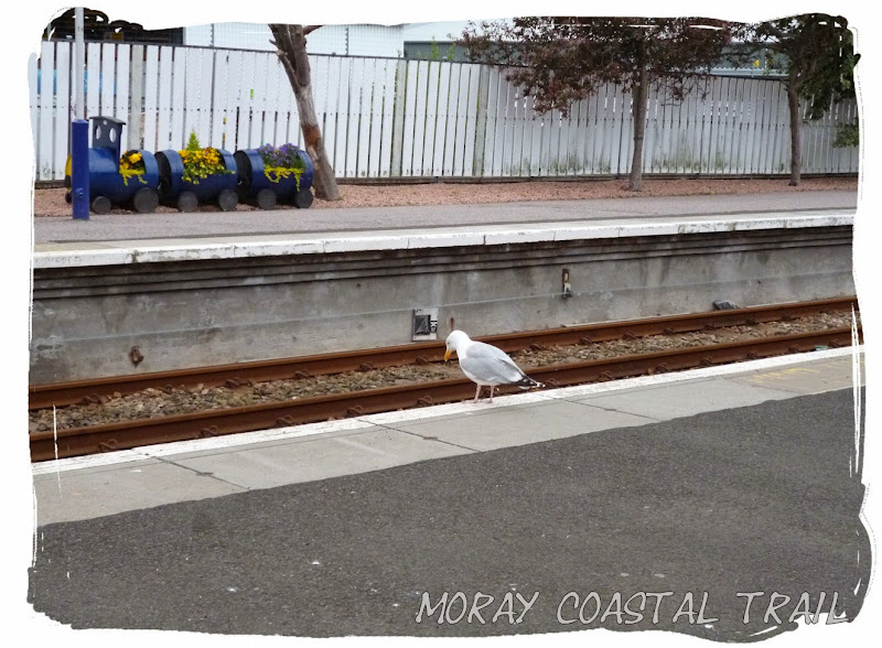 It appeared we were not the only ones waiting on a train
I enjoyed the Moray Coast Trail, and for anyone that loves the beach I would highly recommend it. The trail now forms a section of The North Sea Trail, an ambitious long distance route currently being developed by Aberdeenshire Council and other organisations. More info about this can be found on their website:
http://www.aberdeenshire.gov.uk/outdooraccess/coastal_path/index.aspNow proceed to the gallery >
https://get.google.com/albumarchive/100408387173570597610/album/AF1QipMN5exe5ASYPueoIRu16M0pzErmdErXYWEkmKZlThanks for reading.
