free to be able to rate and comment on reports (as well as access 1:25000 mapping).
There’s not many walk reports not many reports for this Arrochar Corbett, so I thought I’d add mine from my trip on Sunday.
I was initially supposed to be doing Munros, but a party a few doors along the road and kids (I say kids. Anyone under about 30 these days is a kid to me) were up and down the road making a racket until all hours so I didn’t quite get the sleep I’d have liked

Plans got scrapped and replaced with a Corbett combination, which then got scrapped for a single Corbett, which in turn got scrapped itself for Beinn Bheula

All revisions led nearer to home and longer tucked up under the duvet

Relatively speaking this is a “local” hill for me…………………just a 150ish mile round trip
It’s a red balloon which had been bugging me for a while, as the last remaining of the Arrochar Munros or Corbetts for me to bag (other hill classifications do exist
). I had a feeling that given its detached location from most of the other Arrochar hills it might be lacking in paths and represent a fair slog up grassy slopes

Well, it does have paths on the ascent, but I did a sterling job of not following the WH route quite as I should, so endured a fair slog up grassy slopes
But first things first…………….where to park
I didn’t have a map (tut, tut) and hadn’t really done much research on the route (browsing and downloading routes on WH at 4.00 a.m. isn’t particularly conducive to getting a sense of the surrounding area). So I fannied around for ages trying to find a place to dump the car that wouldn’t annoy the locals (particularly if they took offence to the poster on my front dash
). Eventually stuck the car in a larger than normal passing place/lay-by affair just down from the Lettermay turning. From here I was soon ready to get moving.
 P1100934
 by
Riedel2012, on Flickr
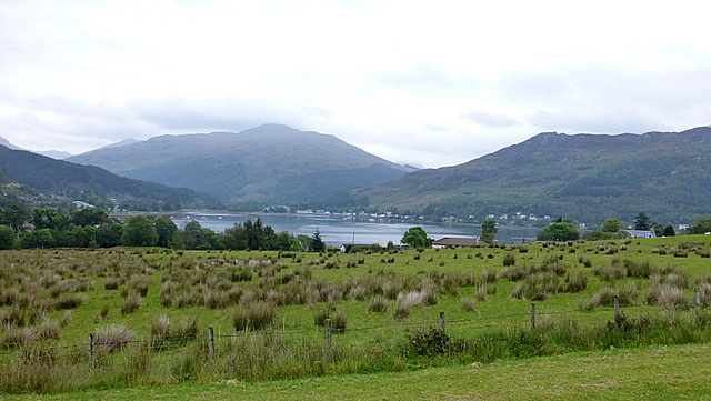
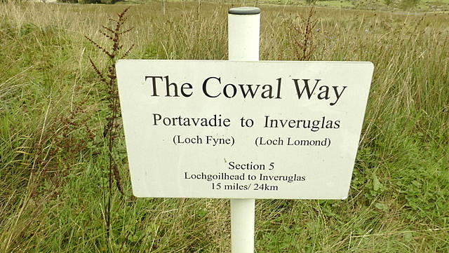
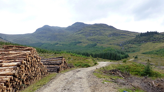
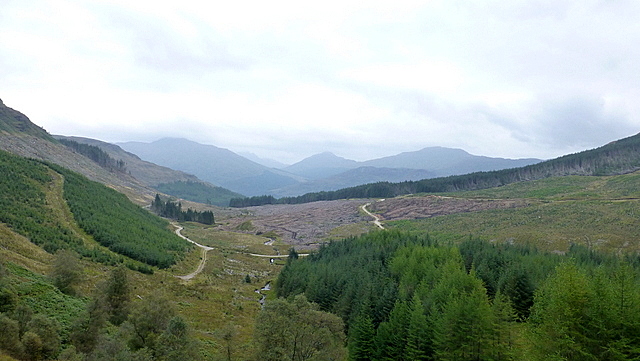
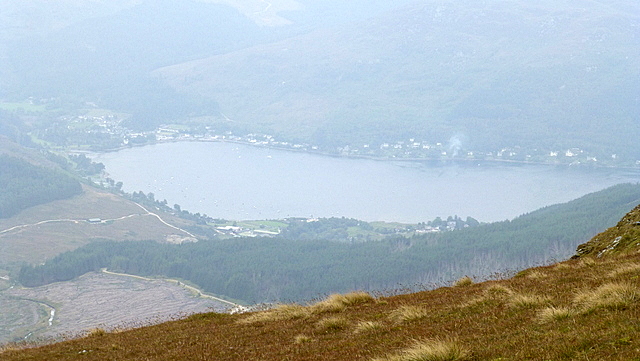
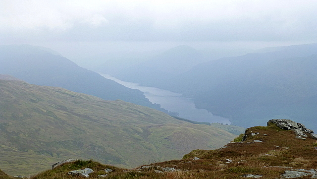
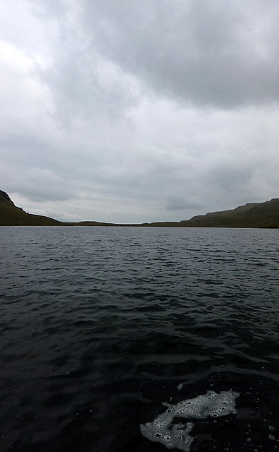
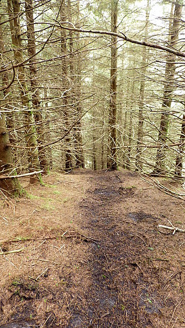
The initial part of the walk is (in my opinion) unspectacular, making its way as it does along a landrover track up on to the Cowal way through forestry. Even when I clapped eyes on Beinn Bheula I wasn’t necessarily hit with any sort of wow factor either. The forecast had suggested breaks in the cloud with sunny spells. Despite the fact I was sweating like a P.I.G it was overcast and hazy, with little sign the sun was going to be making an appearance any time soon. The conditions, therefore, didn’t really enhance the look of the hill.
 P1100935
 by
Riedel2012, on Flickr
 P1100940
 by
Riedel2012, on Flickr
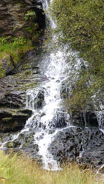
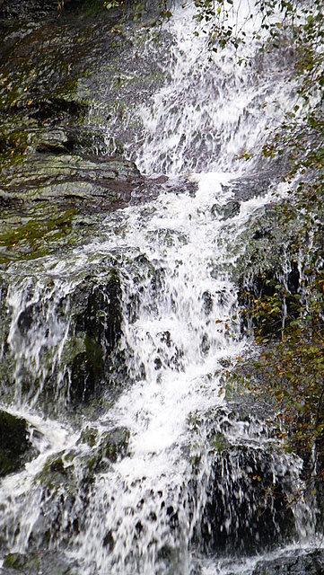
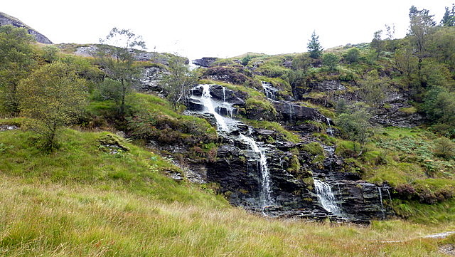
It probably wasn’t until I made my way to the waterfall on the Lettermay Burn that I started to get some enjoyment from the route. Quite an impressive cascade of water (I should add I had already suffered my first footpath malfunction as well by this point
).
 P1100945
 by
Riedel2012, on Flickr
 P1100946
 by
Riedel2012, on Flickr
 P1100947
 by
Riedel2012, on Flickr
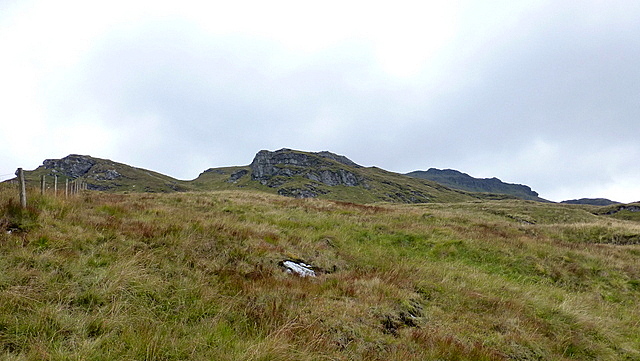
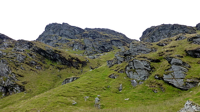
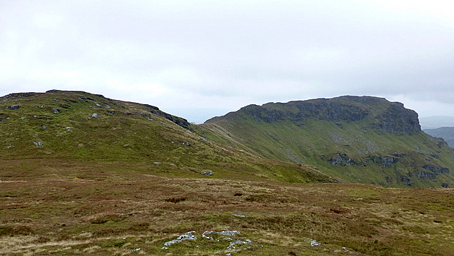
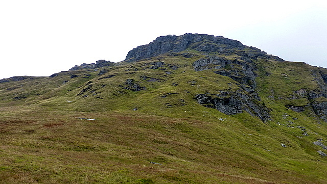
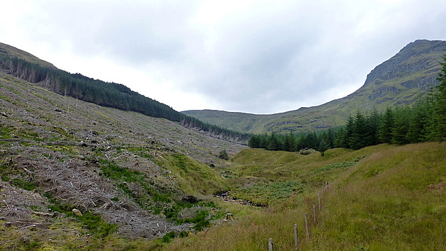
Once back on the path it weaves its way up a short, steepish section, which was nice if a bit boggy and then follows an easy line to a fence. WH suggested a sharp left, which I did and soon found myself not on a path again. What then followed was a slow, tedious slog over uneven, undulating ground, each step seeming to drain whatever vestiges of enthusiasm I may have had from my body. With the thick haze all around the views toward the neighbouring Arrochar Alps were disappointing too, although I did get some enjoyment from the look of the crags up ahead of me

 P1100951
 by
Riedel2012, on Flickr
 P1100958
 by
Riedel2012, on Flickr
 P1100961
 by
Riedel2012, on Flickr
 P1100972
 by
Riedel2012, on Flickr
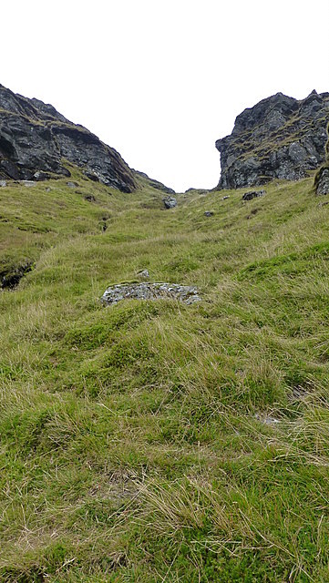
Looking back down the way I could make out the line of the path I wasn’t on too, and was then able to trace where I thought it should be and make my way over to it. And luckily I was right, it was where I thought it should be. Much easier going once back on the path to just below the crags. WH suggest a sharp right at this point, but I spied with my little eye…………a path(ish) heading up a steep grassy gully instead

 P1100977
 by
Riedel2012, on Flickr
 P1100979
 by
Riedel2012, on Flickr
 P1100980
 by
Riedel2012, on Flickr
 P1100989
 by
Riedel2012, on Flickr
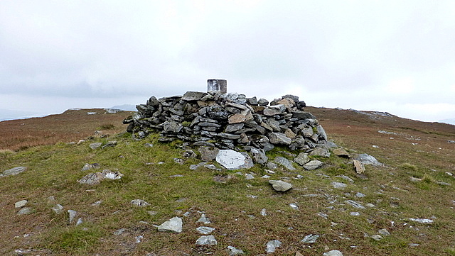
For once this was an intended path deviation, as I took the gully route. While I’d have preferred some rocks perhaps it was still a good little deviation and brought me out onto the main ridge just a short trudge from the Corbett summit.
 P1100993
 by
Riedel2012, on Flickr
 P1110002
 by
Riedel2012, on Flickr
 P1110006
 by
Riedel2012, on Flickr
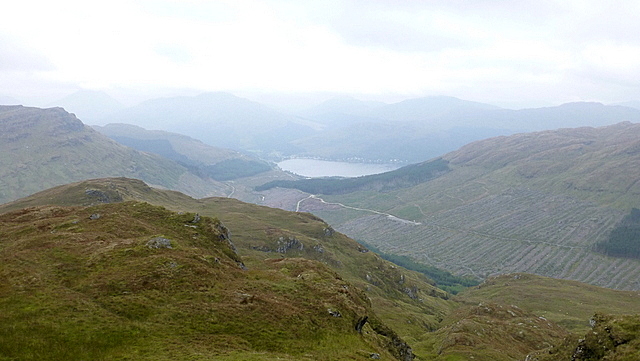
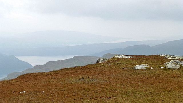
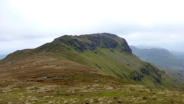
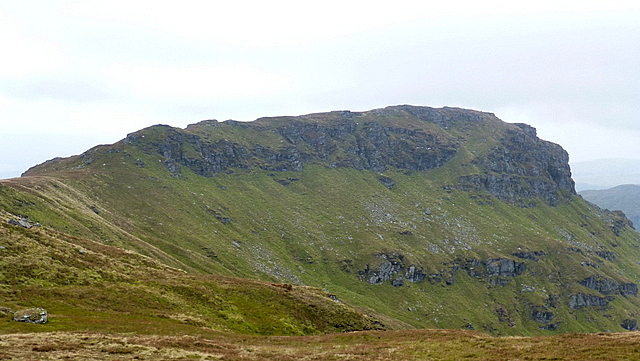
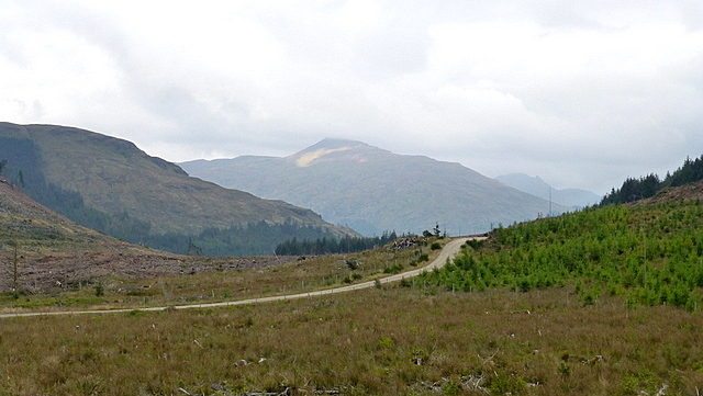
Disappointing, hazy views awaited and by now it was a tad chilly too………………so a quick text to MrsR and I was off over Creag Sgoilte. It’s probably here you get the best views of Beinn Bheula, seeing it now in its best light
 P1110007
 by
Riedel2012, on Flickr
 P1110009
 by
Riedel2012, on Flickr
 P1110012
 by
Riedel2012, on Flickr
 P1110014
 by
Riedel2012, on Flickr
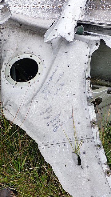
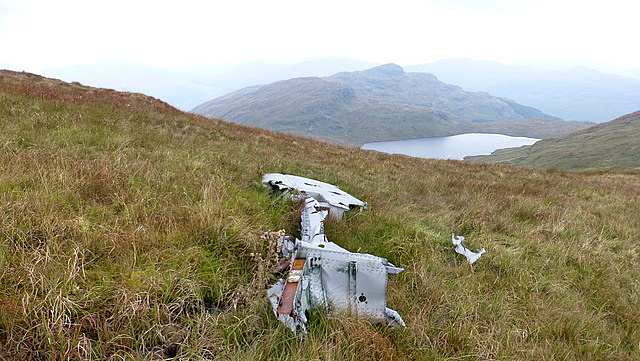
It was now time to start my descent. The route takes you past the plane wreckage, so spent the obligatory few minutes wandering round taking a look………..always feels an uncomfortable experience stopping off at sites like these on the hill sides, but fascinating at the same time.
 P1110020
 by
Riedel2012, on Flickr
 P1110031
 by
Riedel2012, on Flickr
 P1110037
 by
Riedel2012, on Flickr
 P1110042
 by
Riedel2012, on Flickr
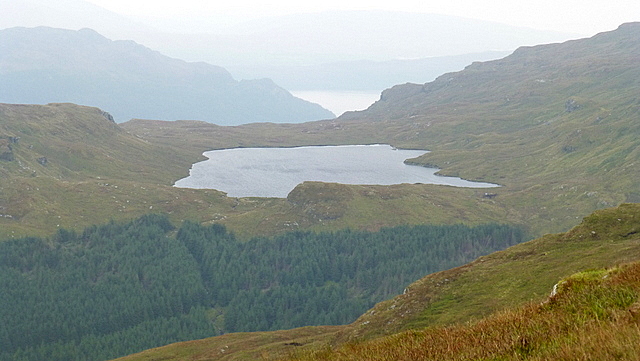
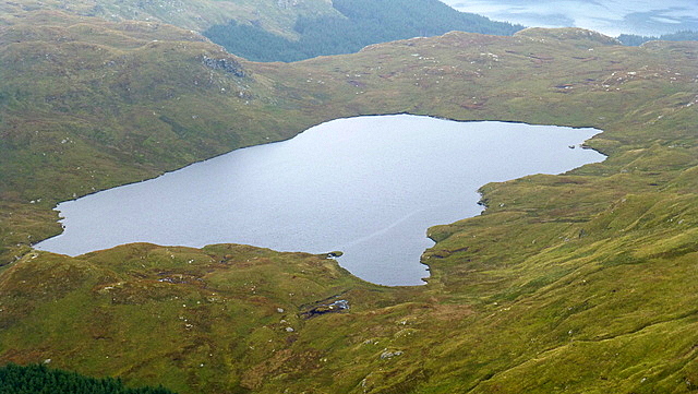
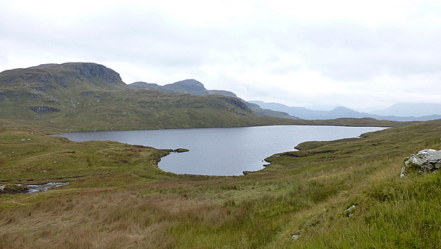
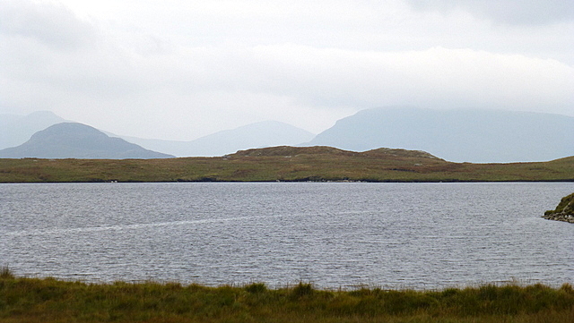
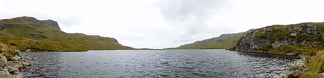
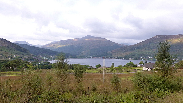
Then the route took me down to the remote Lochan nan Cnaimh. Definitely the best part of the day, as I took the time to sit there for a few moments listening to the water lapping up against the rocks

 P1110052
 by
Riedel2012, on Flickr
 P1110056
 by
Riedel2012, on Flickr
 P1110063
 by
Riedel2012, on Flickr
 P1110070
 by
Riedel2012, on Flickr
But soon it was time for the next footpath fiasco
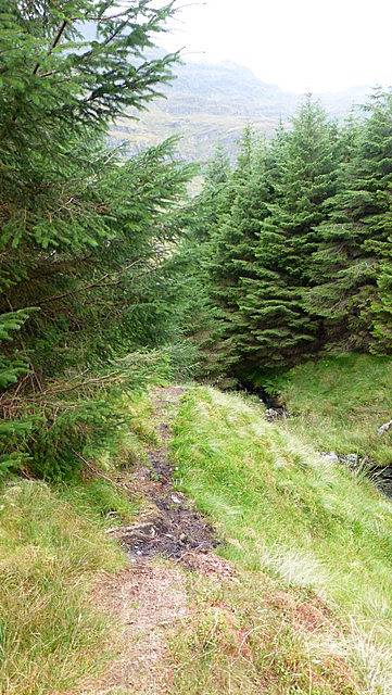
The route took me down into a break between the conifers, beside the course of a small burn
All good to start off with, but then the path became a bit rubbish so I took the strategic decision to head into the woods
 P1110073
 by
Riedel2012, on Flickr
 P1110074
 by
Riedel2012, on Flickr
Entertaining I suppose as I picked my way through, avoiding the bog as best I could. It was a case of in and out of the trees for a period as I made my way down. At some point I should have taken a right to pick up a forestry track - I even recall thinking to myself as I passed what looked like a fire break to my right that that was it
Obviously I ignored the voice in my head saying “turn right, turn right” and just kept heading down. By the time I checked the GPS I’d lost enough height to know I wasn’t heading back up and so was committed to my current route. This entailed picking up a rusty barbed wire fence (not literally of course
) and following this in a general downward direction. There was even an excuse for a path, which eased the slog somewhat. I‘ll often follow traces of path heading in the “general” direction of where I want to go, even if I’m not entirely sure what I might find further on. Thankfully I’ve never come a cropper yet, and today was also thankfully no exception
 P1110076
 by
Riedel2012, on Flickr
It wasn’t too long before I could hear the sound of the Lettermay burn cascading over the rocks, even if I couldn’t see it. About this point the path headed back into the trees and soon became a landrover track (I say a landrover track. You could see where the wheels had flattened the grass, but that was good enough for me
) and eventually I was back onto the main track
 P1110080
 by
Riedel2012, on Flickr
Now it was just a quick trot back to the car, which had thankfully survived unscathed
 P1110082
 by
Riedel2012, on Flickr
So, that was my experience of Beinn Bheula. Probably not my best day out on the hill and probably not a hill I’ll be rushing back to repeat if I’m honest. I’m sure though others have climbed this one and had an absolute blinding day, so I wouldn’t want my somewhat less than enthusiastic experience put anybody off really. And let’s face it, it beats an afternoon on Sauchiehall Street
