free to be able to rate and comment on reports (as well as access 1:25000 mapping).
Grahams: Beinn Mheadhoin, Sgurr nan Cnamh.
Date: 14/06/2015.
Distance: 12km + 13km.
Ascent: 930m + 760m.
Time taken: 4 hours + 4 hours.
Weather: Starting overcast, ending up very sunny. Little in the way of wind but still quite cold air.
After camping next to Loch Spelve, I was up and away by 7:30am to drive back round to Fishnish for the Lochaline ferry. The morning looked to be better than yesterday

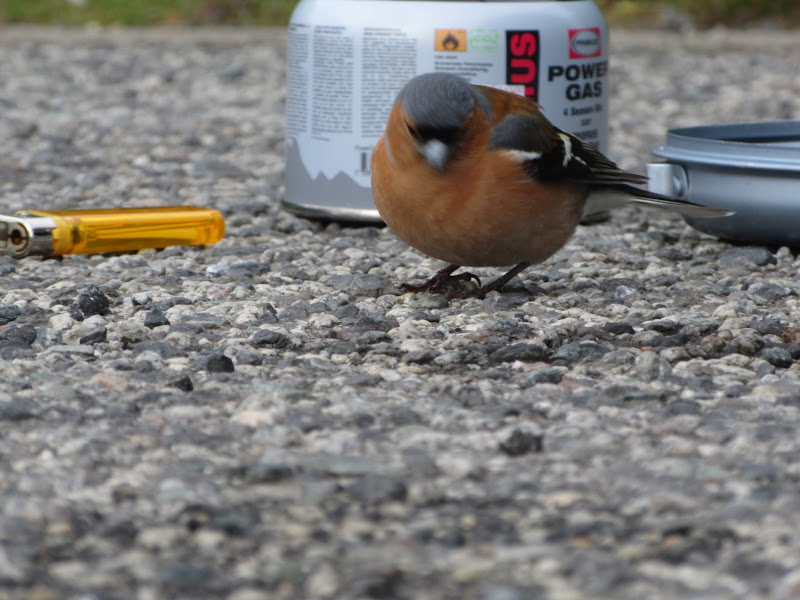
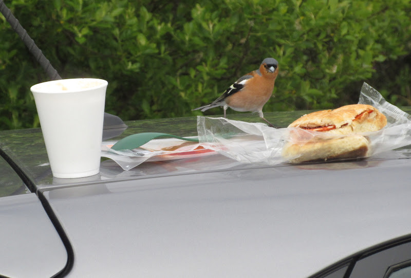
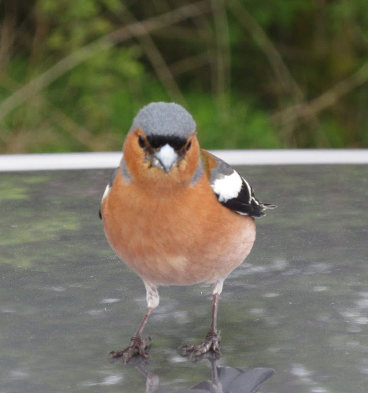
. I had a good hour to kill on the slipway at Fishnish where I brewed some coffee and had breakfast. The whole ferry terminal area was busy with chaffinches - never seen them this tame before. While I was photographing one on the ground, another was busy stealing my breakfast from the roof of the car.
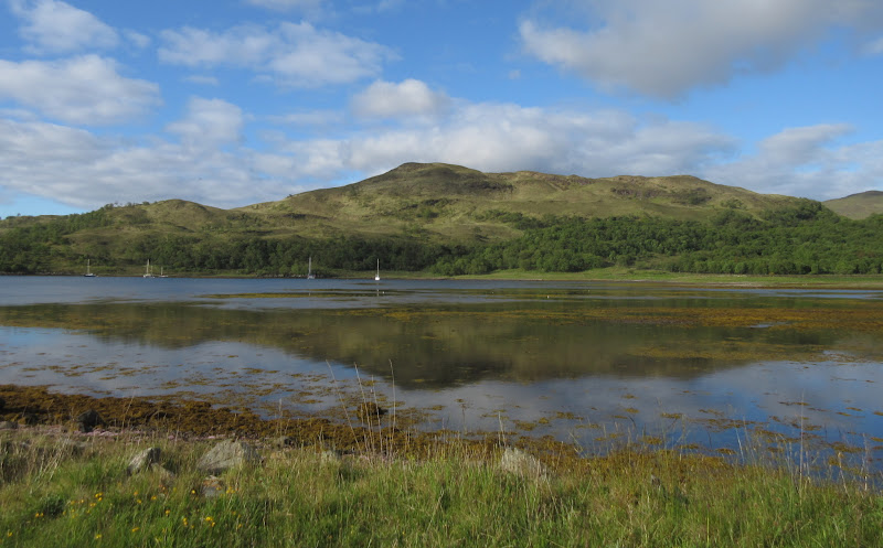
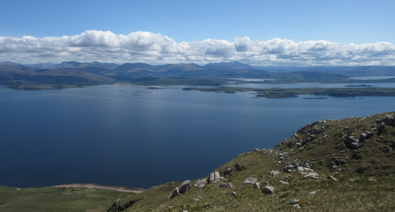
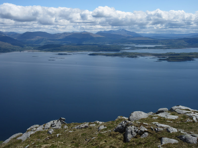
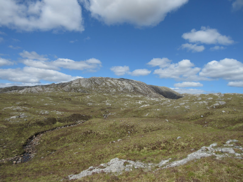
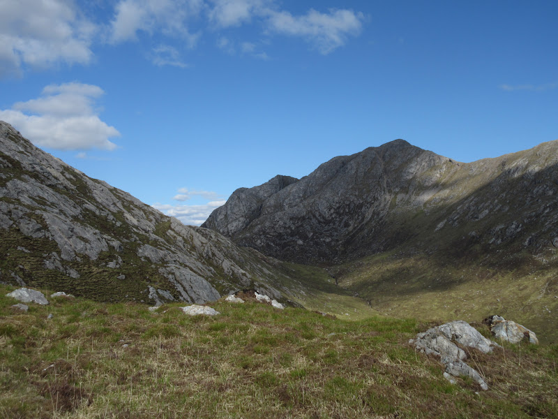
Across Loch Spelve to Cruach Ardura:
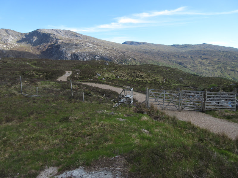
Breakfast time at Fishnish:
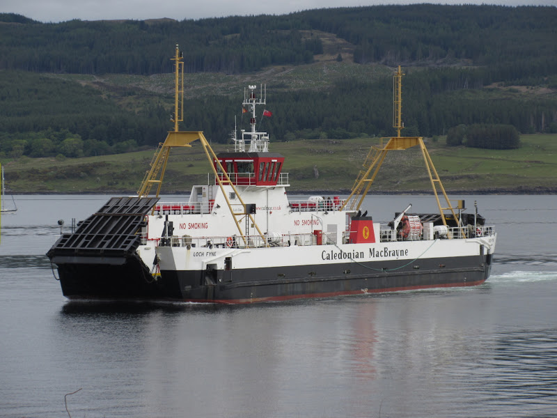
Lochaline ferry:
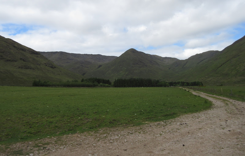
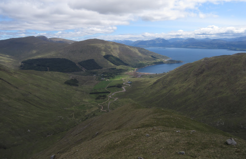
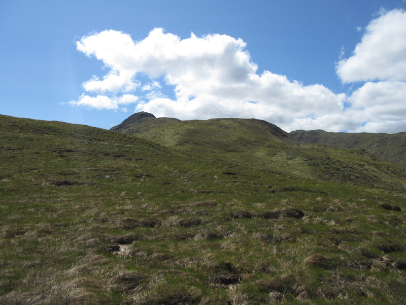
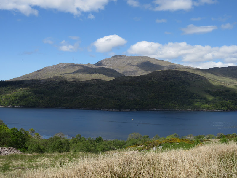
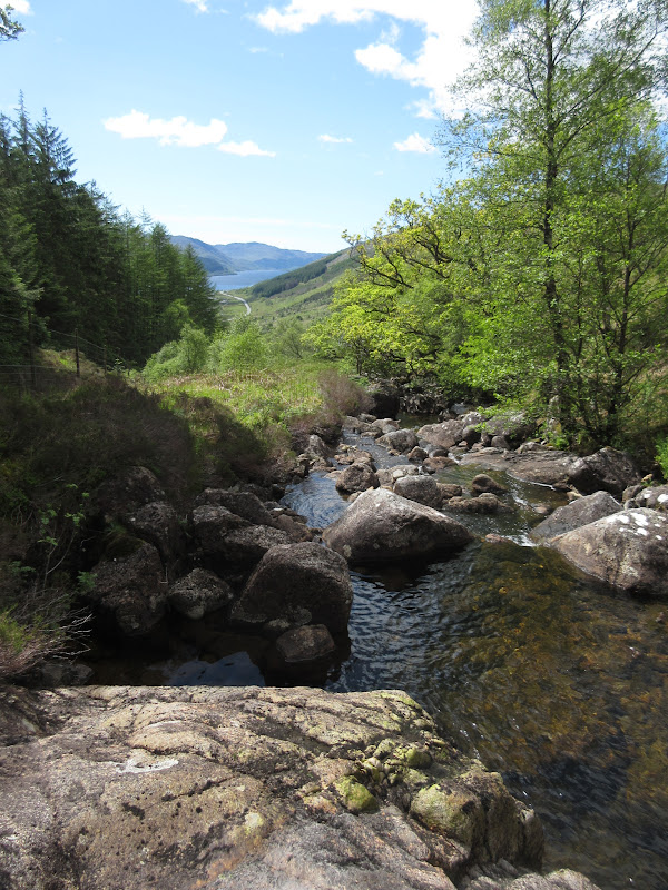
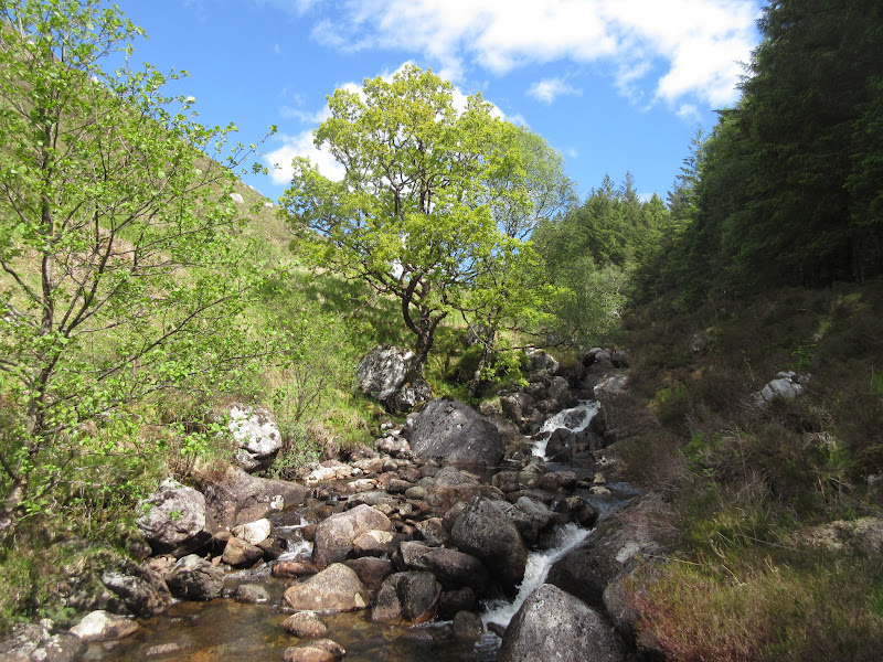
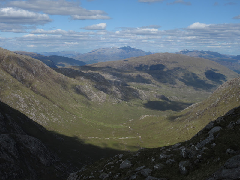
I was back on the mainland shortly after 9:35am and parked up above Kingairloch House before 10. I used the back entrance as it was shorter than going right around - a little boggy and 50m of descent, but pretty quick. A further 20 minutes of walking took me through farmland into the Corrie, and to the foot of the NW spur of Beinn Mheadhoin. It looked brutally steep

. Luckily, after a short boggy section approaching a stand of trees at the toe of the ridge, the going was actually very good. I'd expected thick vegetation for the initial bit of the ascent, but the grass was relatively short the whole way. The ridge was not as steep as it appeared head-on either, and by the time I had gained 600m or so of height, the sun was out and the angle had eased right back.
Beinn Mheadhoin from The Corrie:
Ascending the NW ridge:
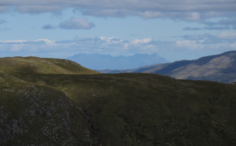
Black Cuillin:
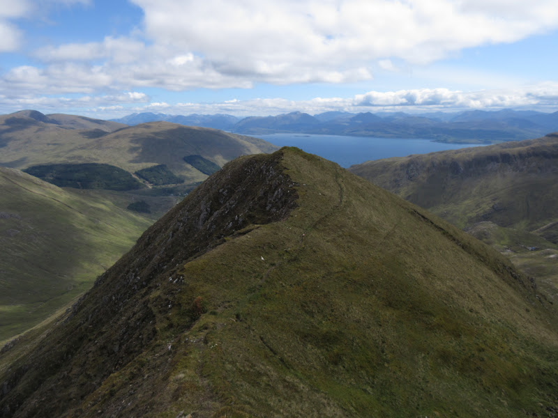
I believe the old version of the Corbetts book (this hill has been removed from the newer edition) calls this ridge 'sporting'. A bit of over exaggeration, but it narrows pleasingly before the final steepening to the summit. I suppose if it was wet and windy or under lots of snow it could be a little sporting.
The way ahead is guarded:
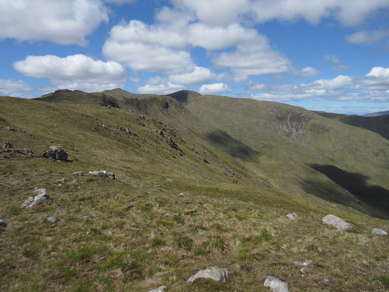
Summit ridge:

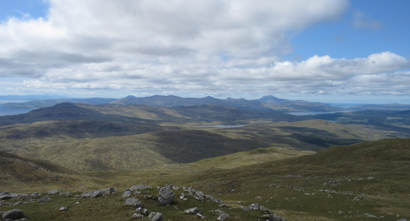
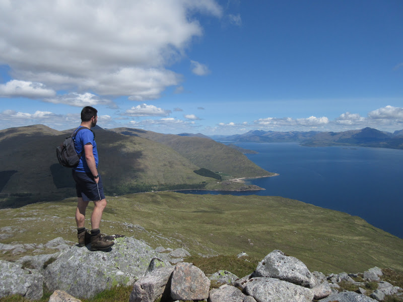
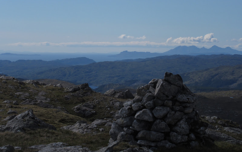
A fine view in all directions from the summit. I couldn't even decide which direction to face when sitting down for my first lunch

. This more than made up for the slightly disappointing cloud on Mull yesterday - I could see most of the Inner Hebrides and the Firth of Lorn, and the hills of South Uist were just about visible to the left of Rum.
An Sleagach and Mull:
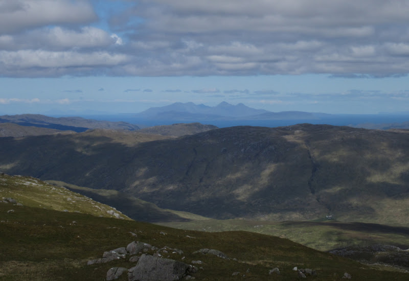
Rum (South Uist also just about visible to the left):
Paps of Jura:
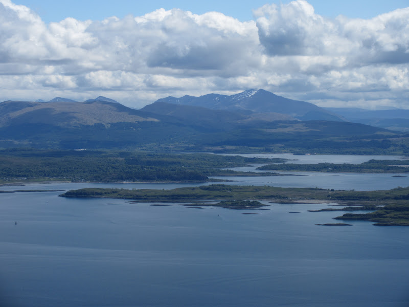
Corra-bheinn and Ben More on Mull:
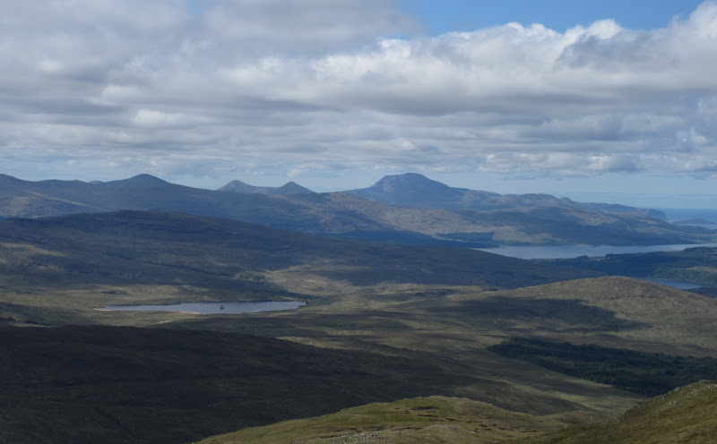
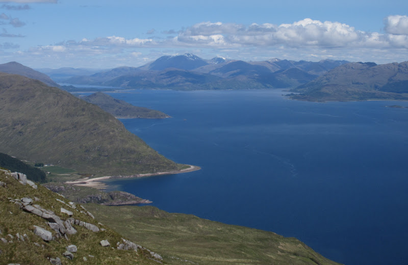
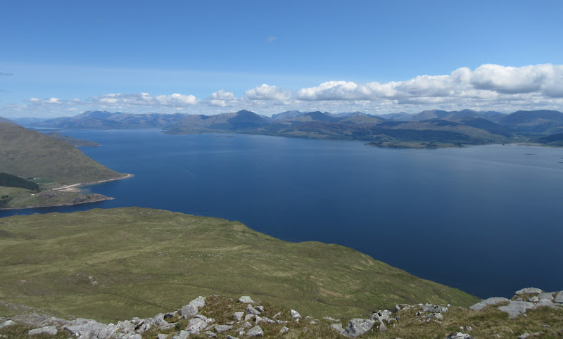
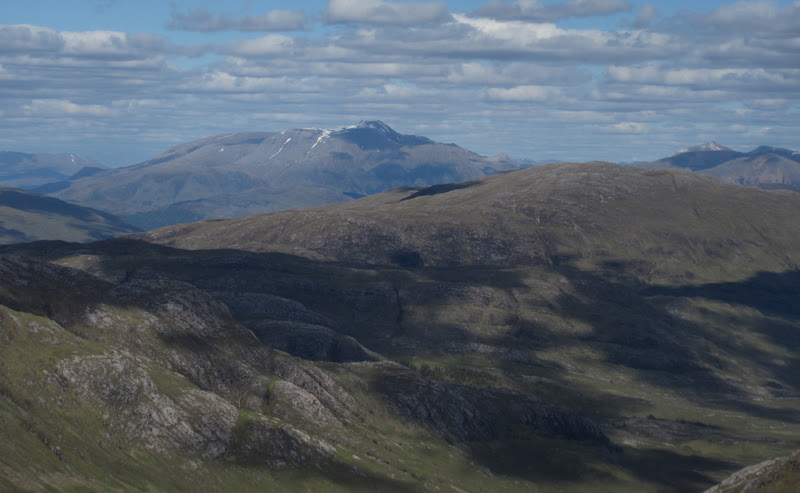
Across Kingairloch and Loch Linnhe to Ben Nevis:
Summit of Beinn Mheadhoin:
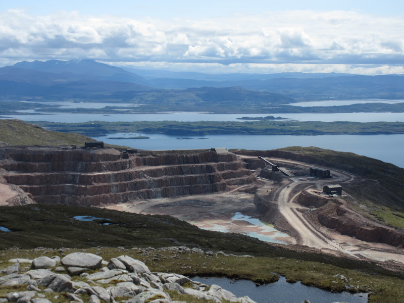
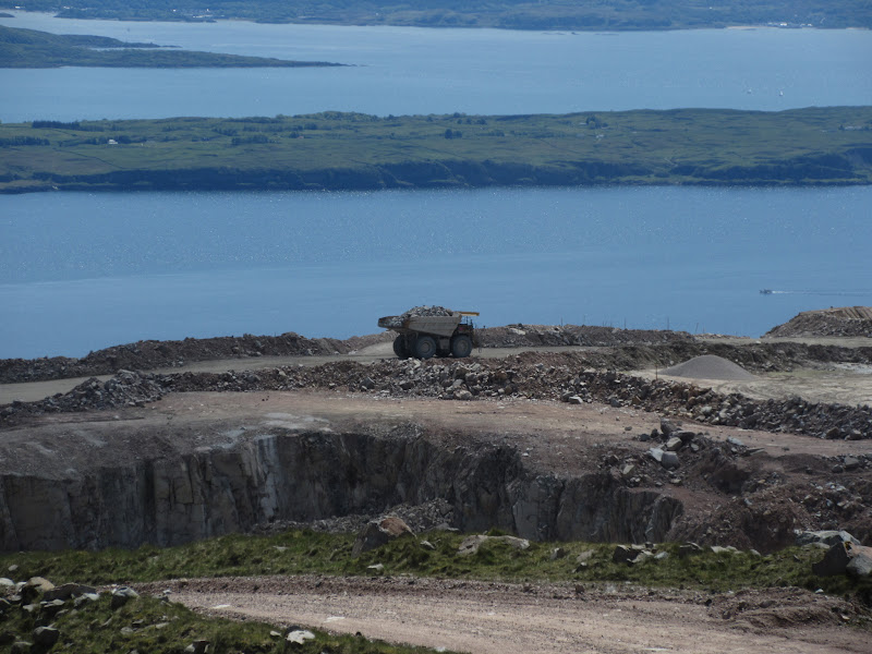
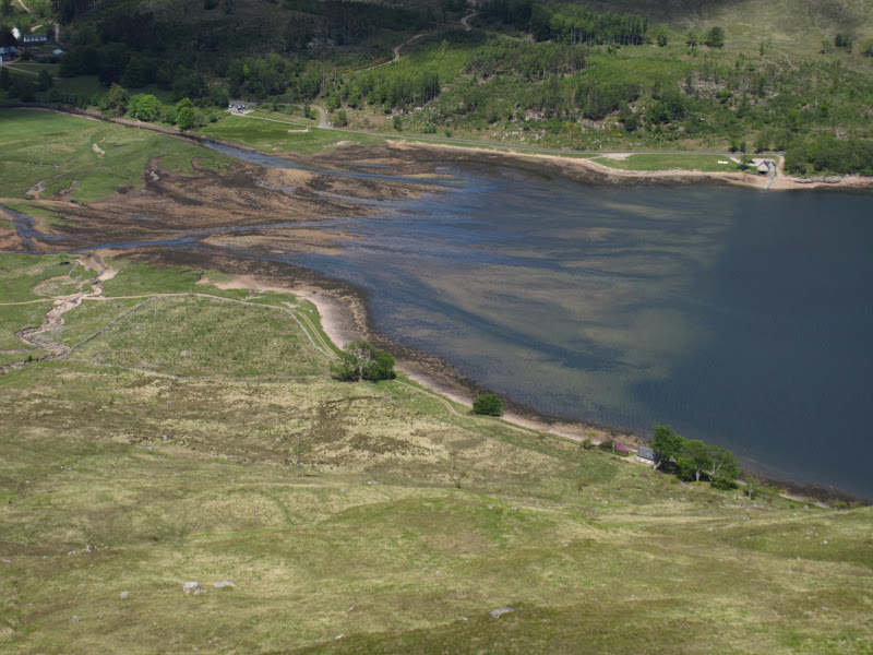
I could hear the odd reversing bleep and sound of shifting rocks drifting up from Glensanda quarry, but it didn't do much to take away from the situation. As I walked eastwards, it became more obvious, and quite surreal. Still, considering the size of the hole in the hillside, it is pretty well hidden from many angles (and missing from my out-of-date map, published 1985

).
Glensanda quarry:

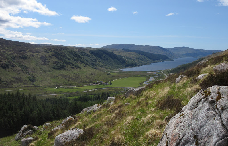
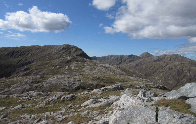
The spur of Meall an Doire Dhuibh has a good stalker's path descending it lower down (only shown on the 1:25k map), but I was more attracted to the next spur - Sgurr a' Bhuic - as it would likely have great Loch Linnhe/Furth of Lorn views. I wasn't wrong there

Summit from Meall an Doire Dhuibh:
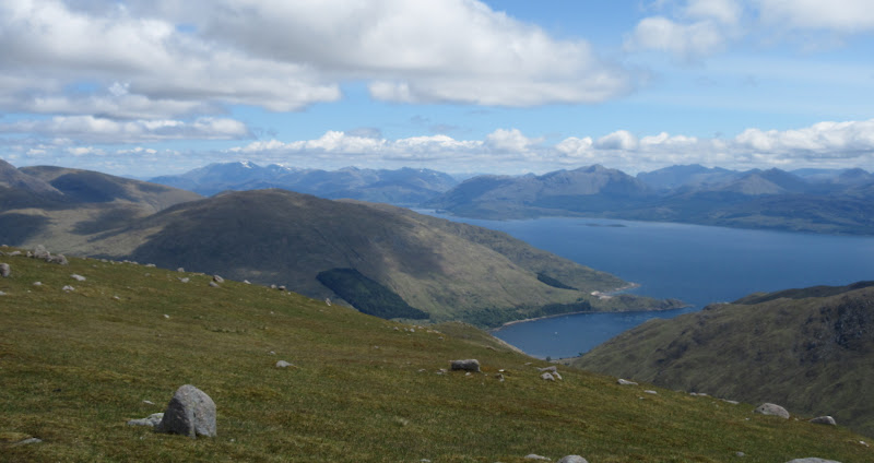
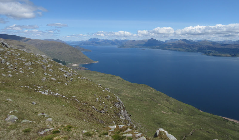
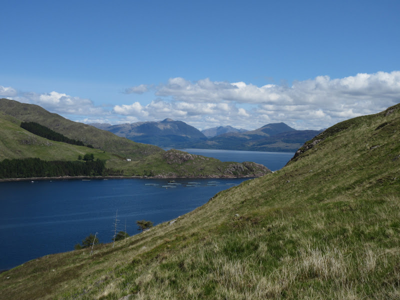
Loch Linnhe:
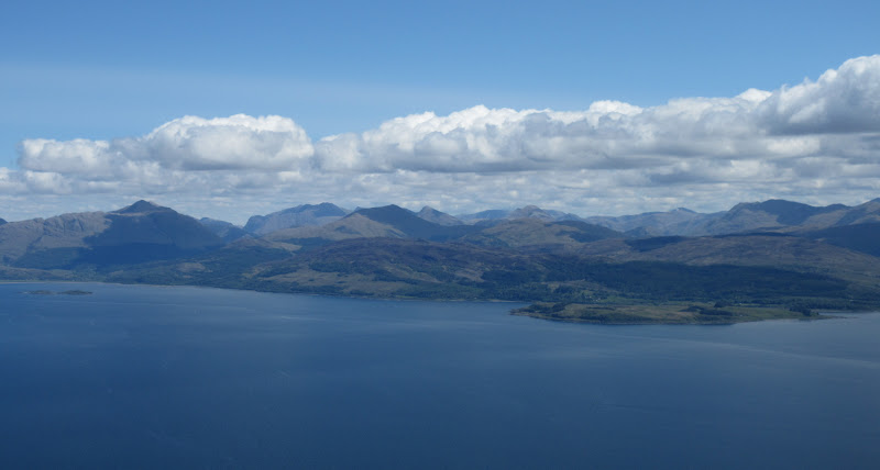
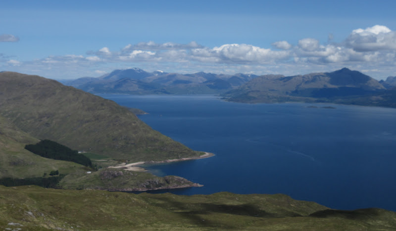
Across Lismore to Ben Cruachan:
Ben Nevis:
Glencoe:
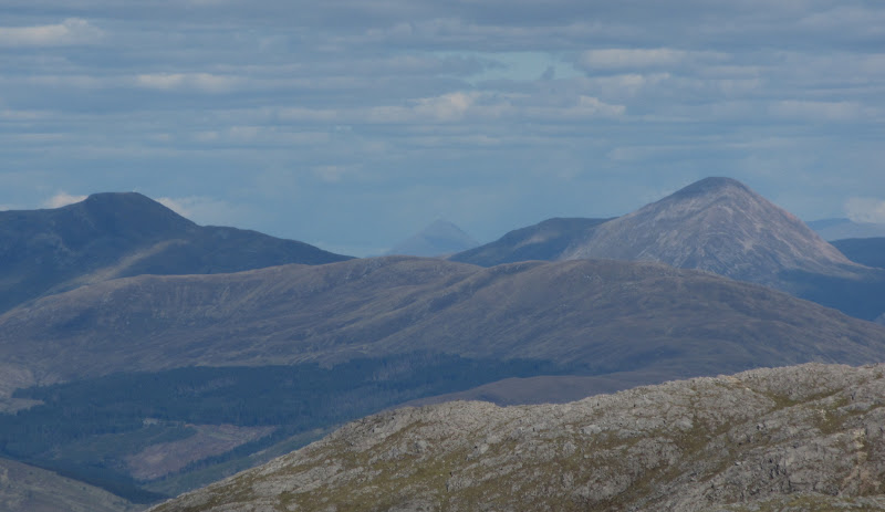
Appin and Ben Cruachan:
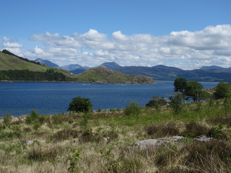
Loch Linnhe from Sgurr a’ Bhuic:
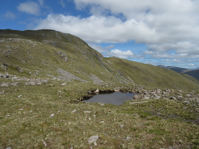
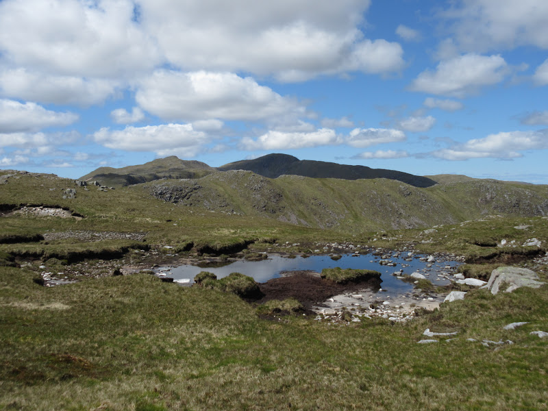
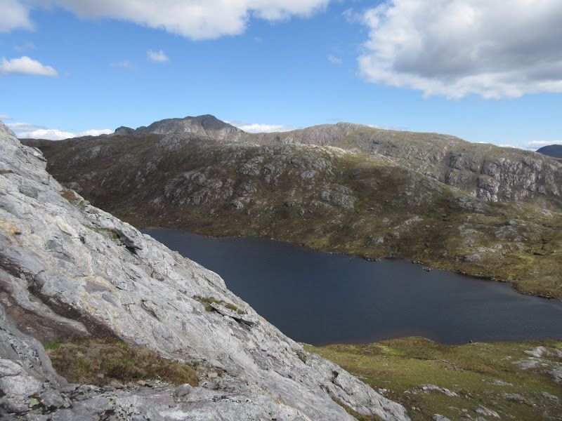
Loch a’ Choire:
The initial drop of Sgurr a' Bhuic was steep and slightly scrambly, then an easy descent over grassy folds of hillside took me down towards South Corry. The bottom 250m or so was quite vegetated and harder going - like what I'd expected to find on the way up. Great views all the way down, although perhaps it would be worth heading for the coastal point of Ceanna Mor for the ultimate views.
Back up to Sgurr a’ Bhuic:
Kingairloch:
I saw an estate vehicle on the track to South Corry, and the woman driving stopped to wait for me to reach the track. I though she was going to ask where I'd been, but she offered a lift, which I happily took

. Mutually beneficial as she was on her own and there were a number of gates to open. I was dropped at the foot of the path up to the back entrance, where I squelched my way back up to the car in a few minutes.
Definitely impressed with this round - it was easily up there with the Kingairloch horseshoe opposite, which was already one of my favourites in the area.
------------------------------
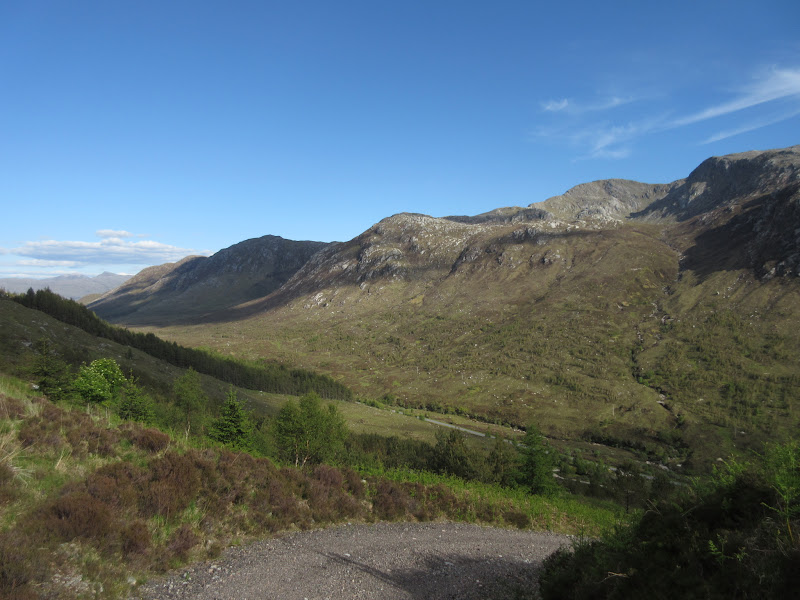
Another short drive back up to the Lochaline road then round to Carnoch took me to the (suspected) start point of Sgurr nan Cnamh. The day was just getting better and better, and I stopped a number of times to take photos.
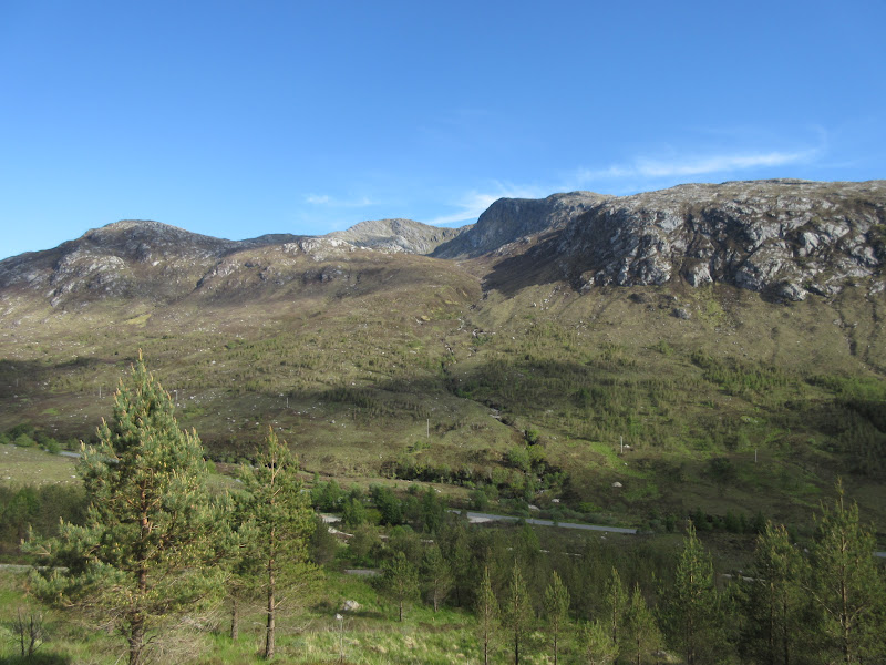
Ben Resipol from the Lochaline road:
…and Sgurr Dhomhnuill:
Garbh Bheinn from Loch Sunart:
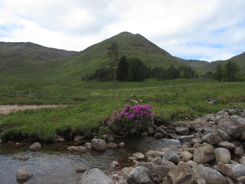
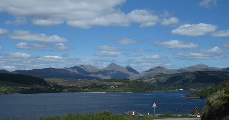
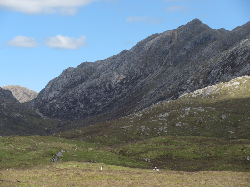
I parked on the opposite side of the Allt Feith from Achanlea and started up a track through the forest. I vaguely remembered another report which suggested this as a good way onto the boggy moorland guarding Sgurr nan Cnamh. Sgurr nan Cnamh is scruffy, inelegant and hard going compared to Beinn Mheadhoin, and so is probably way less visited. There are at least two good reasons to make a visit though: 1) It is in Ardgour where every hill is worth doing, and 2) It is smack bang between two of Ardgour's finest peaks - Garbh Bheinn and Sgorr Dhomhnuill.
Resting area near Achanlea:
Unfortunately this was not the way to do it. The track ended in the forest after a short distance and I had to push through conifers, climb a deer fence and scrabble across the Allt Feith before I was on open hillside. Even here the going was tough - lots of springy heather, peaty holes and ups and downs. It was a good 20 minutes from the forest before I could see the ridge of Sgurr nan Cnamh in front of me. A large deer fence to climb as well.
Allt Feith:
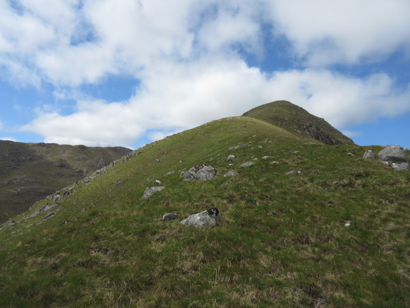
Who cares when the views are this good though? After gaining more height, I climbed onto the western nose of Sgurr nan Cnamh, weaving between slabs on steep (but much easier) ground.
Carnoch and Loch Sunart:
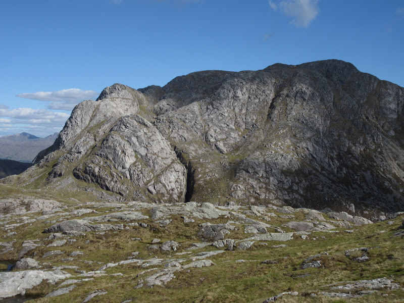
Backside of Garbh Bheinn:
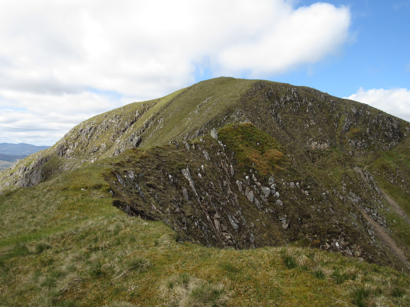
Approaching Sgurr nan Cnamh:
Across Loch Coire na Creiche to Garbh Bheinn:
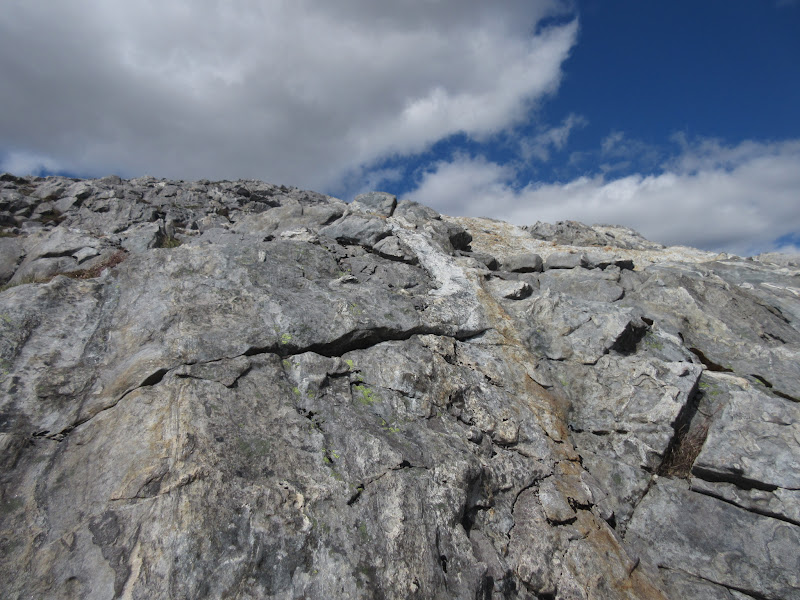
Lovely rock:
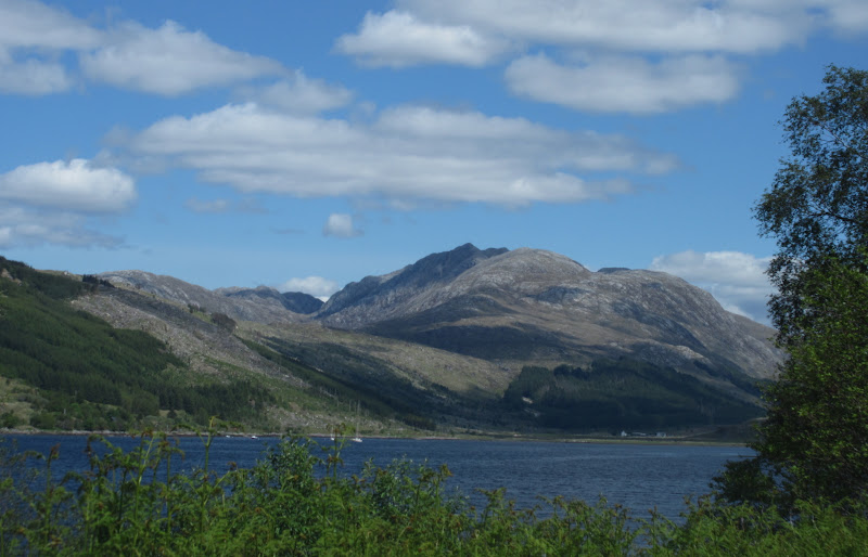
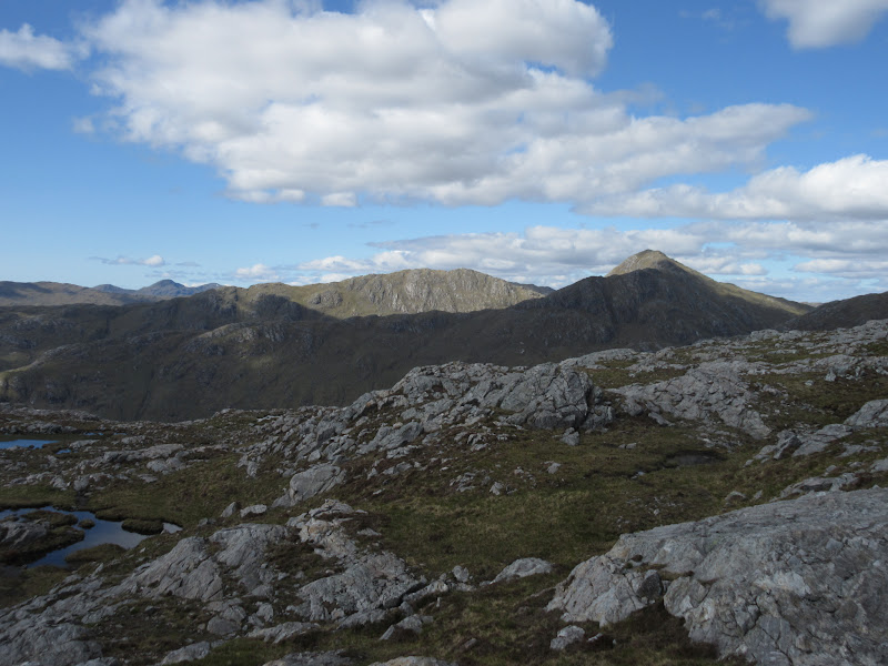
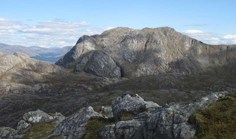
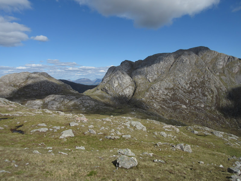
Up here, I was almost there, but plenty more bobbly bits lay in my way. But what a great position! I don't think there are many better places for viewing the back side of Garbh Bheinn, which is massive (and not even the most impressive set of crags on it). Suddenly at the top, Glen Gour opened up as well, and there looked to be a tantalising rocky wasteland to wander across to Beinn Bheag. Shame I wasn't going that way.
Druim Garbh and Sgurr Dhomhnuill:
Garbh Bheinn:

Glen Gour and Ben Nevis:
The Loch Leven Garbh Bheinn with Shiehallion lurking behind:
Garbh Bheinn (again and again):
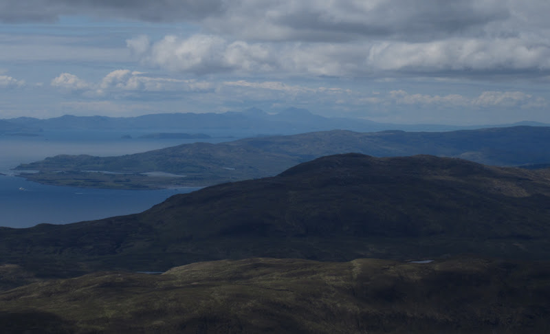
Back the other way, Eigg was now visible and Rum looked clearer than it had from Beinn Mheadhoin earlier on. I didn't really want to leave the top, but I had a bit of a drive home, so grudgingly I did. The rest of the circuit round Loch Coire na Creiche (over Druim Min) looked a little smoother than my ascent, so I went this way, Garbh Bheinn looking even better as I got marginally closer.
Eigg and Rum:
Back to Sgurr nan Cnamh from Druim Min:
(and again):
Beinn Bheag:

…with Garbh Bheinn as well:
Just as I was about to drop into Gleann Feith 'n Amean, I spotted the end of a track snaking up onto the moorland. I had started at the wrong place, and although none of these tracks were on my map, it looked like this one would drop me a on the A861 a mile or so east of where I had parked. It was better than crashing back down through the trees so I went for it.
Dropping off Druim Min:

Creach Bheinn:

Diagonally crossing the Gleann Feith 'n Amean was rathet squelchy (aided by the odd quad bike track), but before long I was on the well made track to a hydro scheme weir, complete with a gate through the deer fence I had climbed earlier.
Track I wanted on the way up:
It was a good track - well made but not especially intrusive (way better than some I have seen), but really steep! I can't imagine someone driving a cement truck up here. Good views across the glen to the back of the Kingairloch horseshoe as well.
South side of Glen Tarbert:
…including Creach Bheinn:
Slightly annoying that the high gate at the bottom was locked and there was no stile. Down on the road, it was a lovely evening for the stroll back to the car, and a scenic drive home.
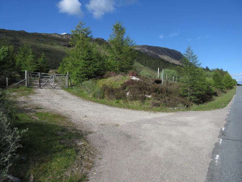
Start of the correct track:
A great weekend - starting reasonably on Mull, but getting much better on the Sunday
