walkhighlands

Share your personal walking route experiences in Scotland, and comment on other peoples' reports.
Warning Please note that hillwalking when there is snow lying requires an ice-axe, crampons and the knowledge, experience and skill to use them correctly. Summer routes may not be viable or appropriate in winter. See winter information on our skills and safety pages for more information.

Beinn Bhuidhe what waterfall ?

Beinn Bhuidhe what waterfall ?


Postby ancancha » Sun Aug 23, 2015 6:27 pm

Route description: Beinn Bhuidhe, via Glen Fyne

Munros included on this walk: Beinn Bhuidhe

Date walked: 22/08/2015

Time taken: 6.2 hours

Distance: 22.12 km

Ascent: 1144m

5 people think this report is great.
Register or Login
free to be able to rate and comment on reports (as well as access 1:25000 mapping).


Beinn Bhuidhe.gpx Open full screen  NB: Walkhighlands is not responsible for the accuracy of gpx files in users posts


Despite the forecast I decided I had a waterproof jacket and anyway it was warm and like most of us I'm actually waterproof as well :!:
The drive up Glen Croe to the Rest and be Thankful and Loch Restil is stunning, would have been nice to park at the top and enjoy it for a while, but there were as always time issues.
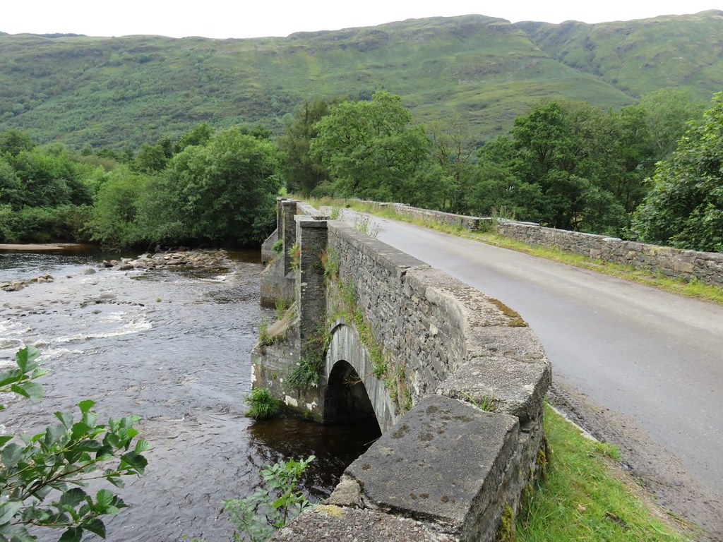
Got to the car park, got my kit on, assembled the bike, made my way across the bridge
Image

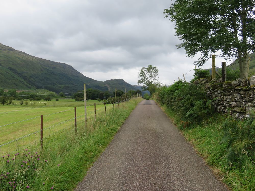
past the brewery and up the very good tarmac road
Image

I wasn't sure at this stage what I would do; the WH route or ride up the new road :?: Wonder if the new road is hydro or wind. Hydro I can live with, but am increasingly against the very obtrusive wind farms. Though some of the hydro in this area is a bit in your face as well :!:
Oh and the other option I'd considered tentatively looking at google earth was to go up the old hydro road and along the Corryvichaten forestry track and down to what looked like a bridge on the OS map so that I could take my bike all the way to the start up to Beinn Bhuidhe.

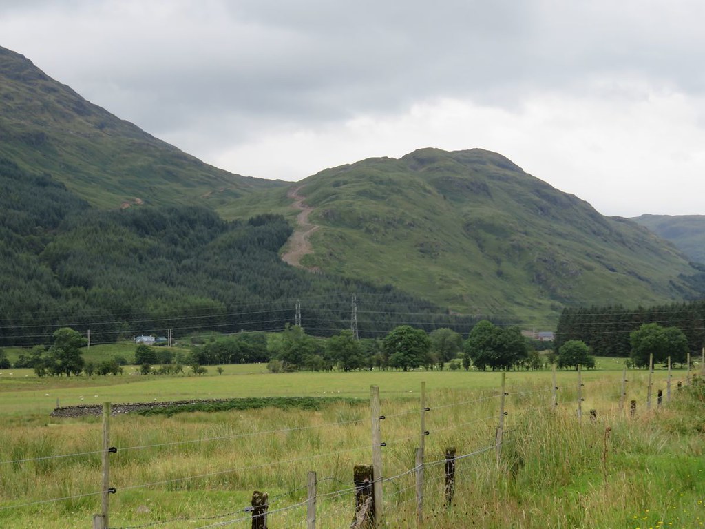
Wasn't long before I got a first view of the new road, it looks very steep, I'd definitely be pushing up all of that :!: so carried on, one option down

Image

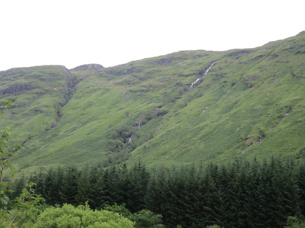
Some nice views on the way in. With this summers rainfall steep streams are very much in evidence
Image

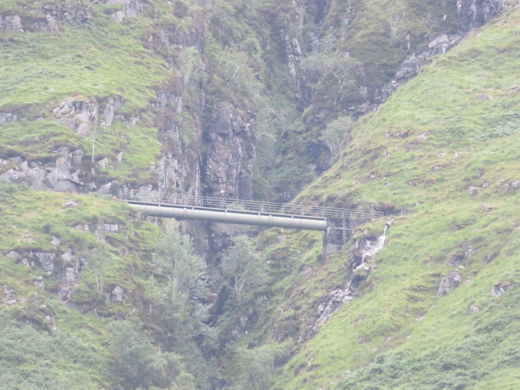
and whats that across the gorge on the left :?: a bridge up there :!:
A hydro pipe and walkway

Image

Whatever your opinions you got to admire the human beings ingenuity and technical ability.

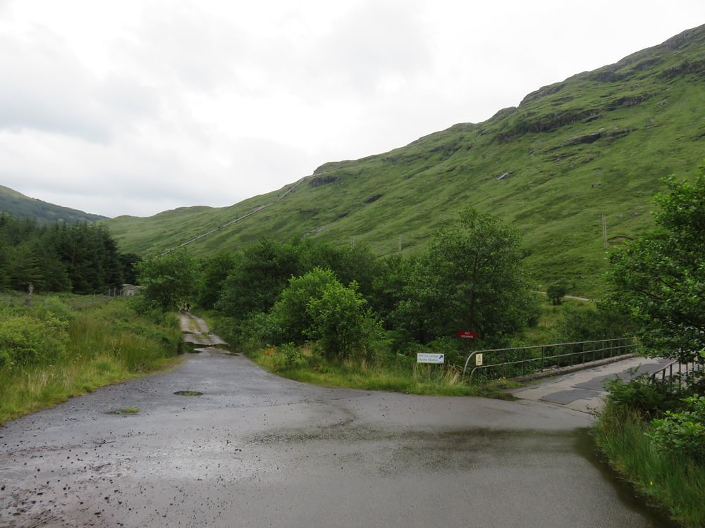
The road after the bridge over to the hydro station isn't tarmac, but is still good
Image

The water under the bridge here goes over what looks like an old dam, definitely looked like man made, but camera was on a strange setting while I was trying to get some photos of the many dragon flies around, they never landed and I never got a photo.

A couple of ladies coming back cycled past and said hi.

Chained up the bike; I couldn't find any definite information on how far in you are allowed to cycle, so here you are

56°18'27.63"N
4°51'46.53"W

Tried to upload a google earth pin, but not allowed on WH.

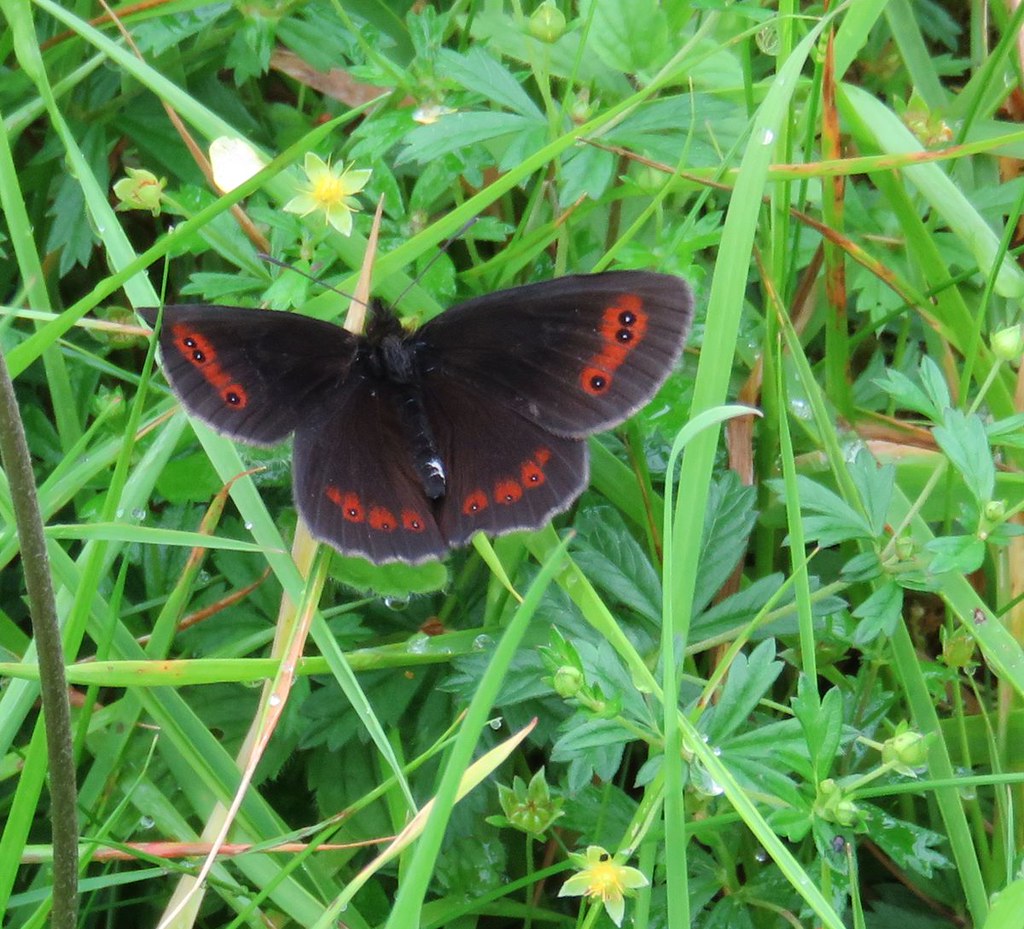
Loads of these black butterflies on the track to the cottage
Image

It doesn't take long to walk to the abandoned cottage, not sure why they don't let us cycle all the way :?:
The cottage isn't all that abandoned as the roof looks maintained and has new skylight windows.

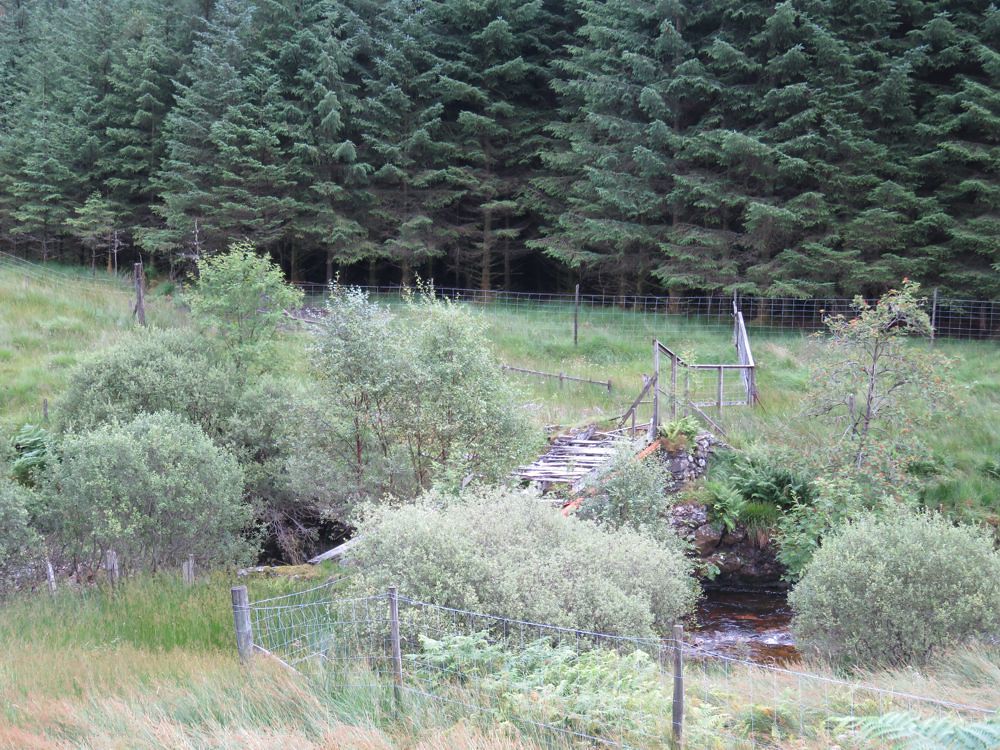
All the while I looked across to Corryvichaten forest to check out the possibilities. There's no possibility unless you are in it for punishment. The forest is dense and steep. There are landslips and the firebreaks look very overgrown. To cap it all; there is a bridge back over to just after where the cottage is :!:

Image

and I wouldn't be trundling my bike or myself over it.

Sorry about the long entrance to this report about hiking up a mountain, but this is over half the journey.

Anyway on up Beinn Bhuidhe :D

View up from the bridge just past the cottage
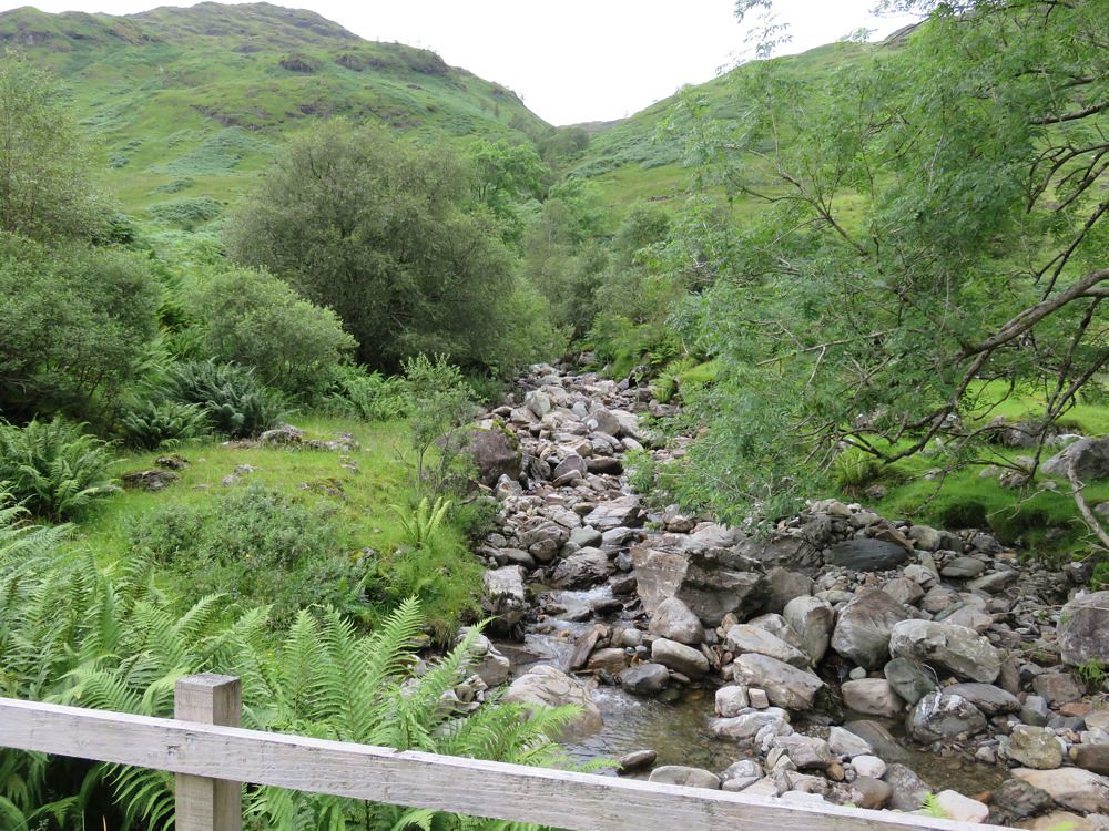
Image

Got on the path and started up through the fern forest, a machete would have been more helpful than the walking poles at this stage :!:

It is though as described by spiderwebb bonny.

There was evidence of a few landslips on the cycle in and just above the Allt na Faing; great name, what does it mean :?:

Image

Further up the ferns relented. Chatted to a couple coming back and said all the wrong things, opps :(
Talked about the bike taking all the sting out of things; they hadn't taken theirs :!:
If they are reading, my apologies and I hope that by walking in and back you got to see some amazing wildlife and scenery.

They had said they hadn't done the bad step, but there was a bypass path.

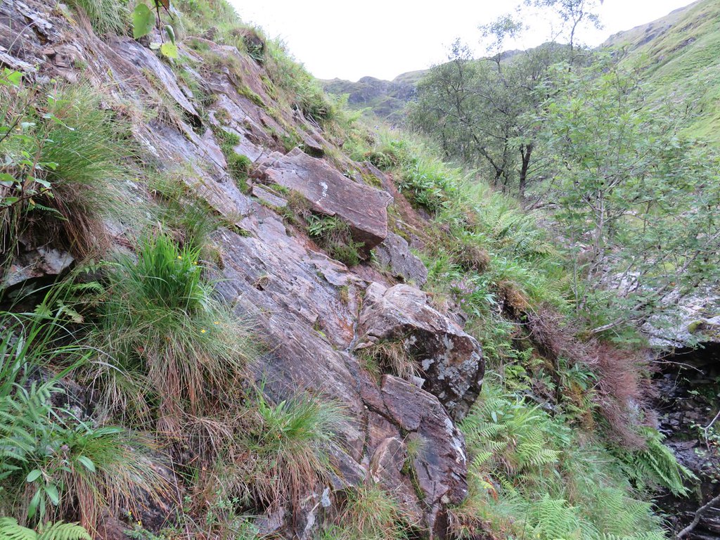
I got there, here I assume :?:

Image

I couldn't see a bypass path, I'd looked above, but on getting past, it looks like it is below.
No probs though I stashed the poles and put on my gloves, it looked like there were lots of holds and it would be easy :D
It is easy, once you get the first step out of the way. You need to get your foot up high to push up and get the hand hold on the middle left and then it is tamed :wink:

Carried on and the path is now similarly tame so stopped and got the poles back out. A family came down and chatted for a while before the midges assembled for free lunch. They'd decided to cross over at this point and go down the other side which was an option for me on return as time was now getting on. They gave me some helpful tips and info about the path on the way up; thanks :thumbup:

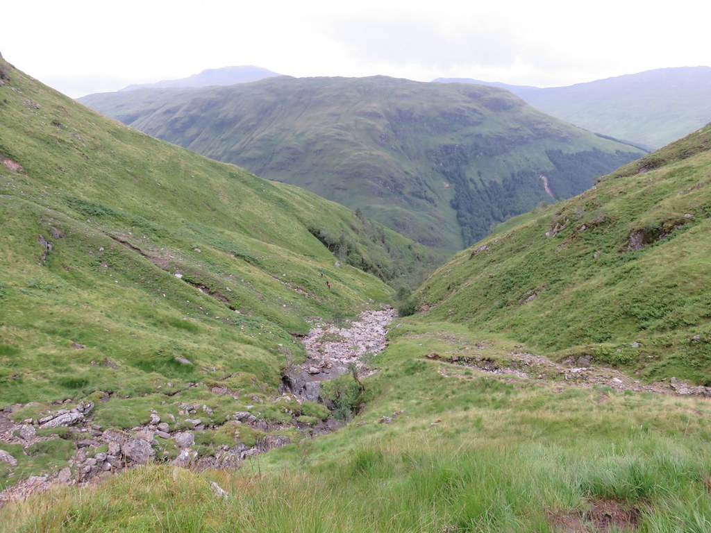
Here's a photo in which you can make out the family centre, red dot is one of their jackets and the route they took over to the other side

Image

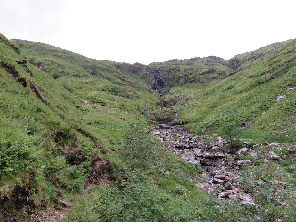
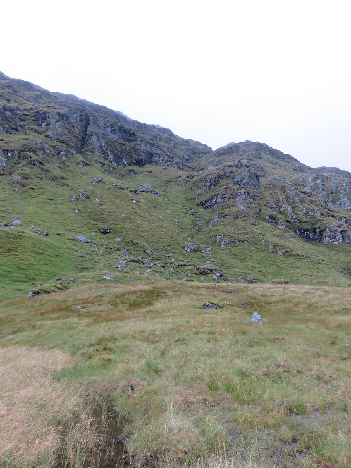
As you can see the Allt is easily crossed at this point, also a view up to the waterfall :?:

Image

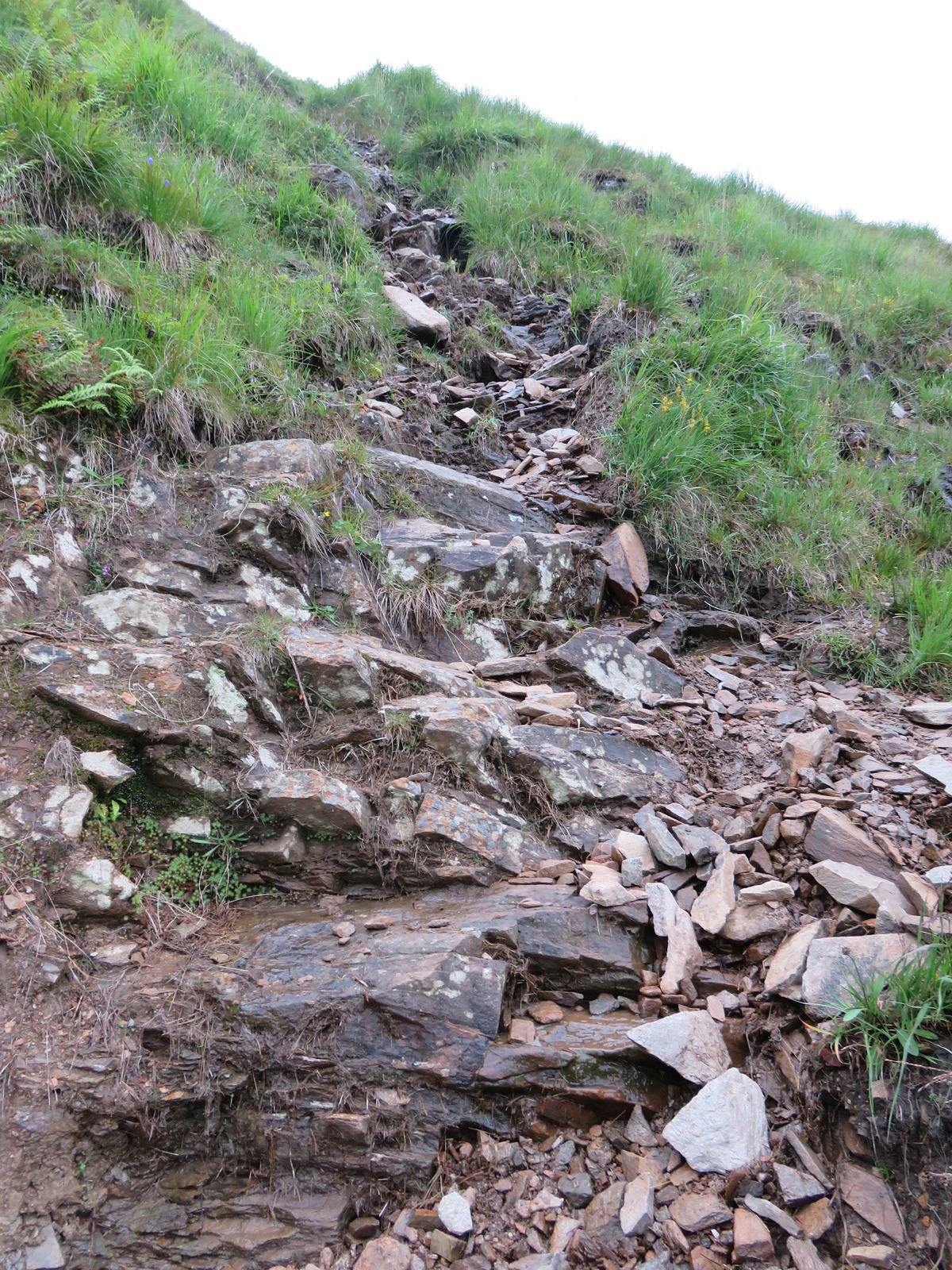
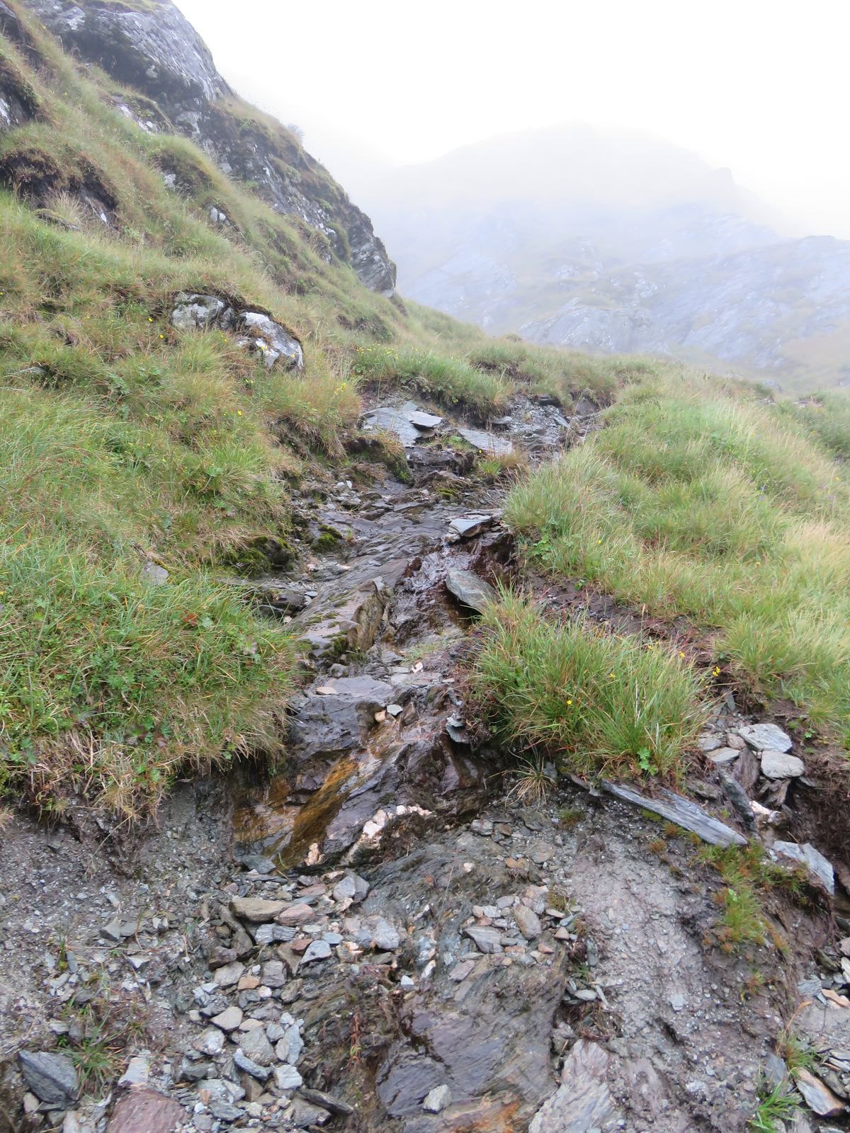
From just past the bad step the path gets steeper and can be a bit loose

Image

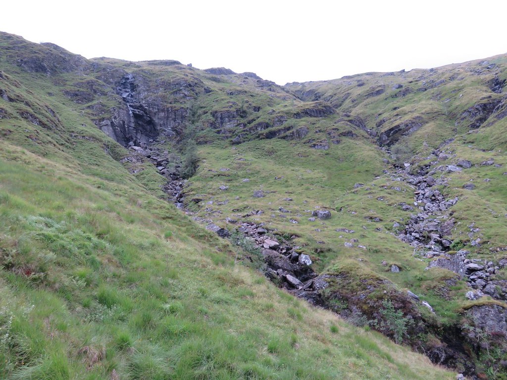
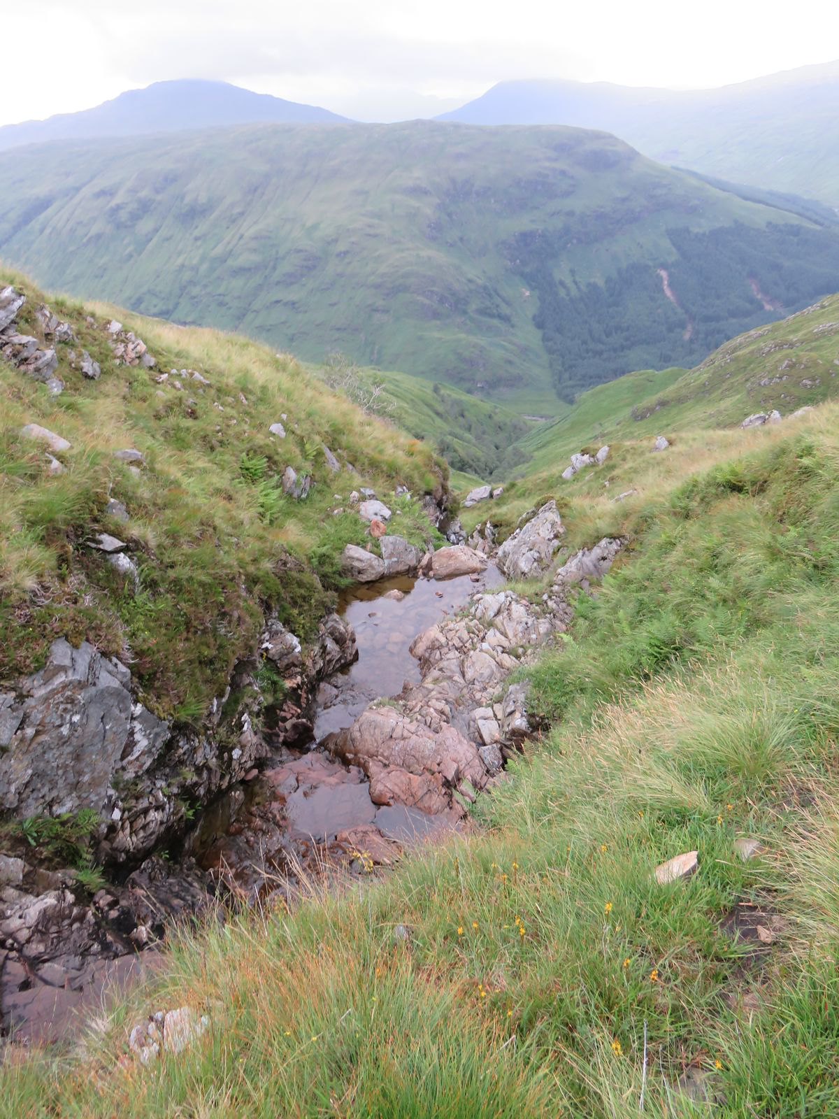
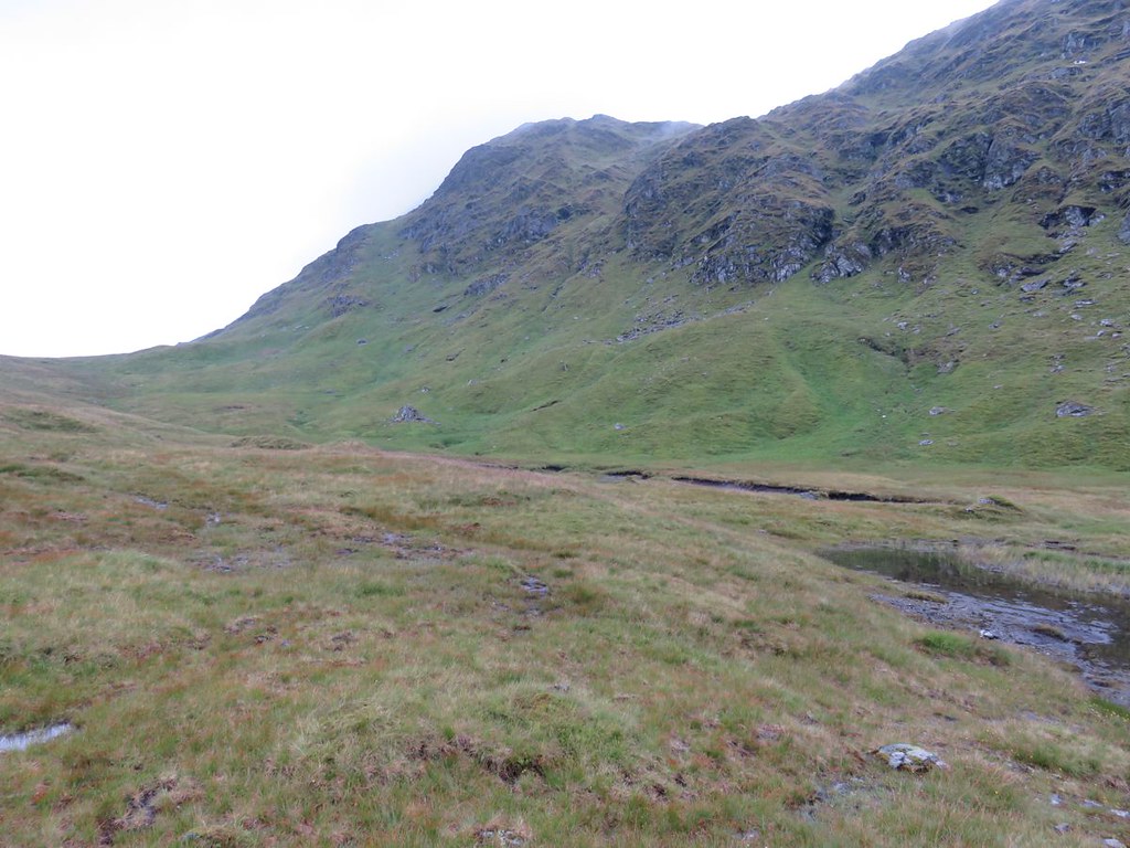
The terrain at the top of the Allt is interesting, but I suspect due to the deep drainage ditch at the top side of the new hydro road the waterfall is now more of a water trickle :(
On getting up to the road there is a torrent in the deep drainage ditch :!:

Image

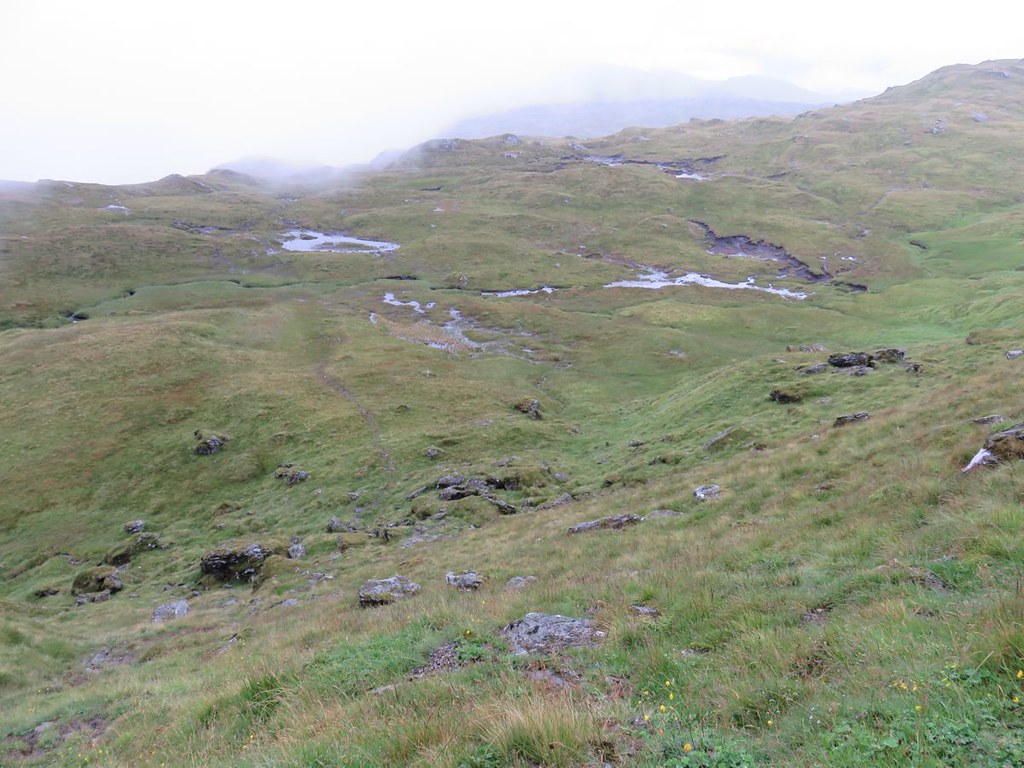
There's a nice wee stream crossing near the top with probably the best of the views back down

Image

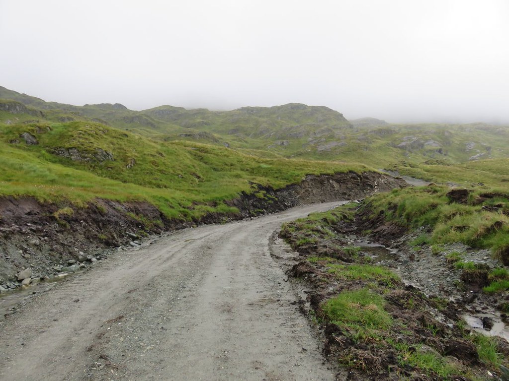
The new hydro road crosses the path shortly afterwards, a very well made road :!:

Image

Up to this point the path is quite dry despite the rain and the look of the ground, but the next short section is pretty squidgy in places. The clag had come and gone and come again, though apart from a few spots of rain it had been dry and I was trying to be hopeful of a view from the summit

Image

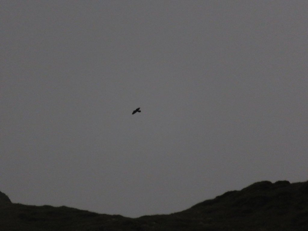
Got to the edge of what I would call a shelf, a big shelf and something of interest was gliding along the ridge, but too far away for identification, the calls sounded like that of a Buzzard, but on looking at the photos more likely to be a Raven :?:
Another for the not proven pile, but it did improve my humour :D

Image

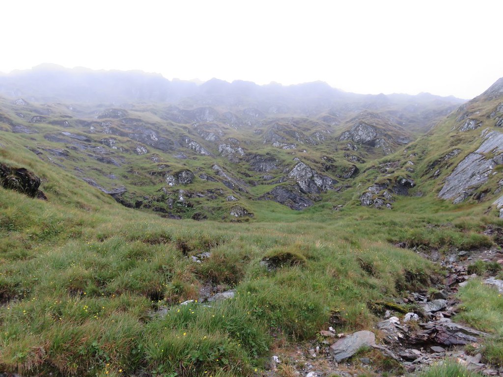
The big shelf is interesting, a bit like the big shelf on Beinn Chabhair, maybe there is a glacial phenomenon in this area which creates them :?:

Image

Image

The path continues across the middle and steeply up the other side and does have a slab which takes a bit of scaling, but there is plenty of bypass if you aren't keen

Image

A view back down to the shelf

Image

I'm pretty sure the photo below is at the top of this section of path just before you turn into another flatter section

Image

with this view

Image

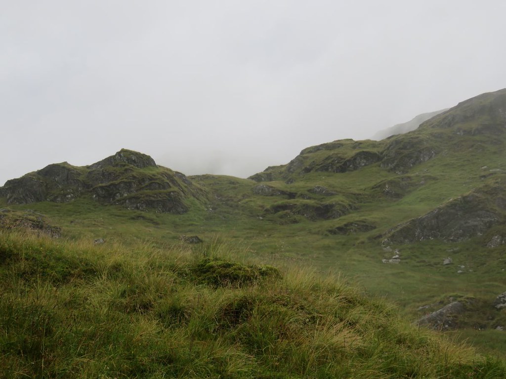
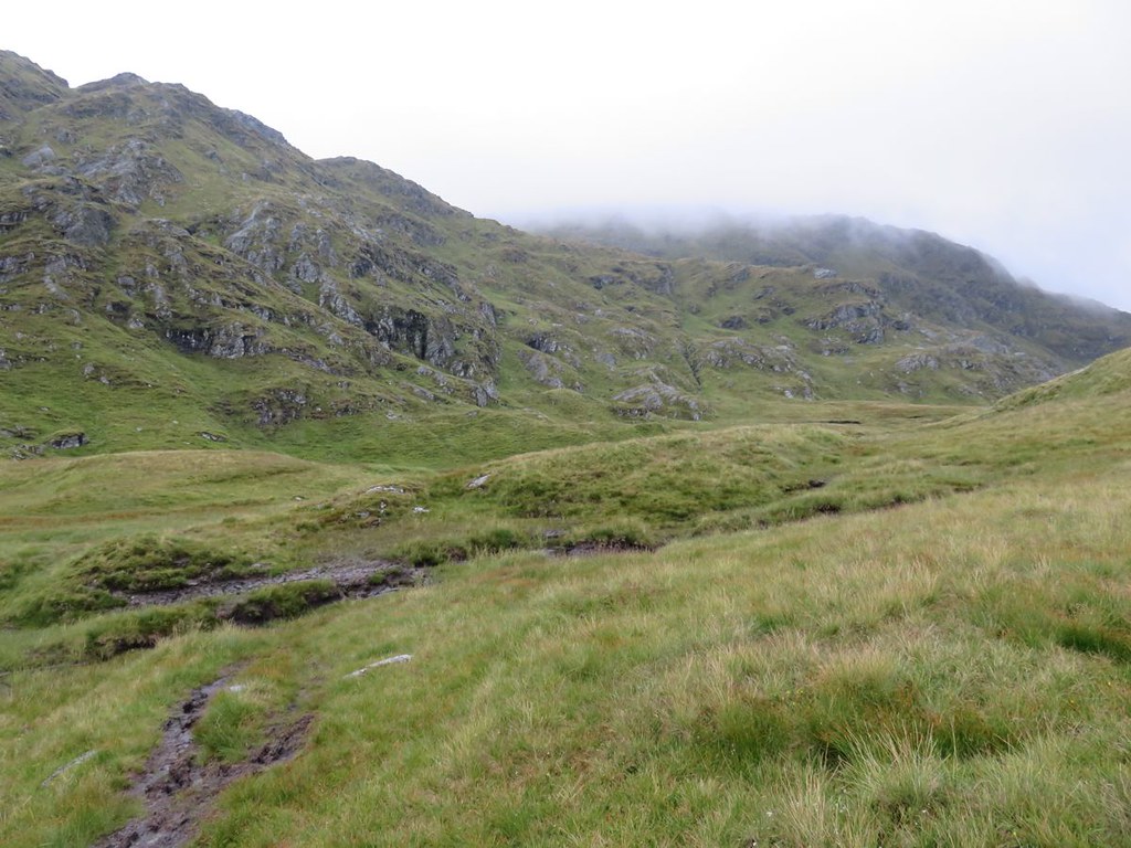
Despite the conditions it is an interesting landscape and path.

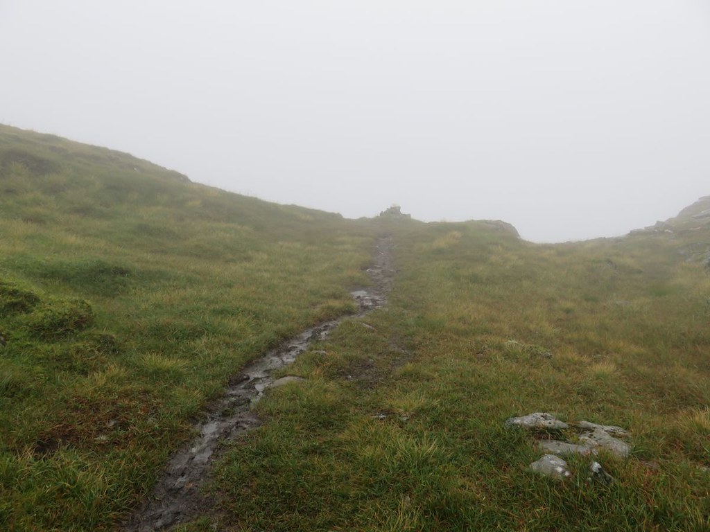
Shortly afterwards the bealach cairn

Image

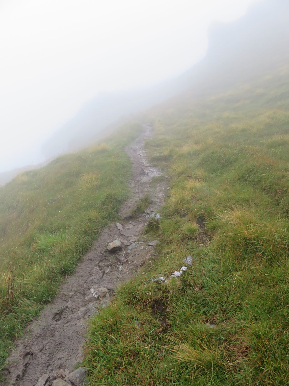
and a left turn along the summit ridge which sadly is now covered in clag :(

Image

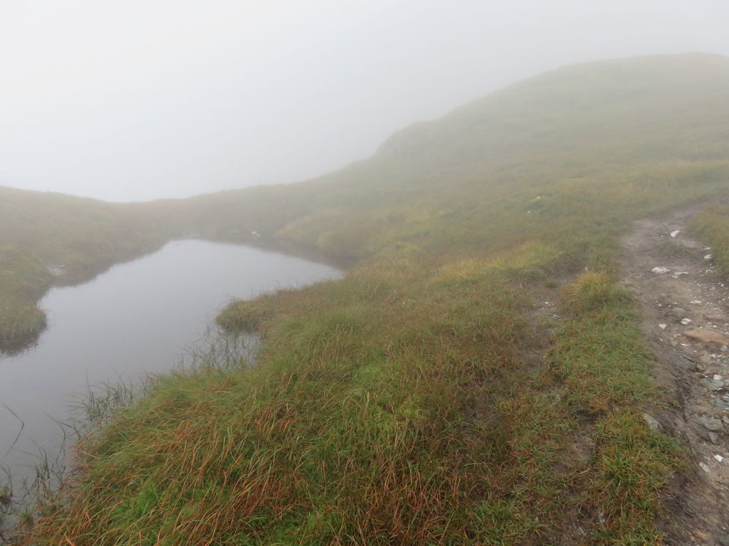
It definitely looks as though this would be fabulous on a clear day with an interesting wee Lochan amongst other features

Image

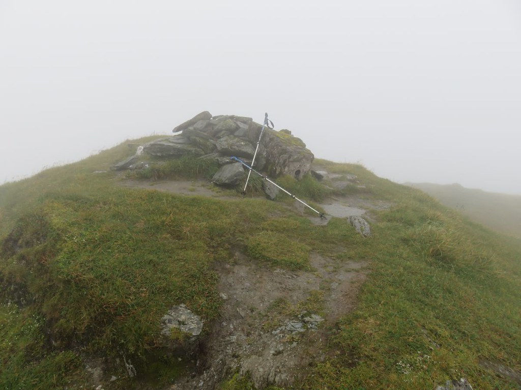
and finally the summit

Image

Another photo and return as tempest fugit :( and I want to be back down to the abandoned cottage while there is still twilight. If necessary I'd already started thinking about going back down the hydro road; a get off the mountain for free escape :lol:
Did also consider the WH route back down, but didn't want to take on anything I wasn't sure of escaping from. My preferred option was crossing over where the family had.

By the time I got to the big shelf the clag had lifted somewhat, but I still wouldn't have gotten any awesomeness at the summit if I'd stayed a while.

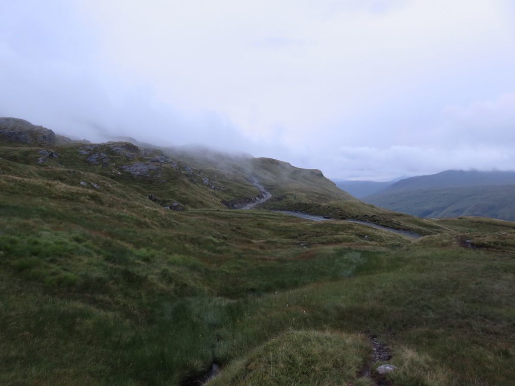
Back to the hydro road, looking west

Image

and up to the east, wonder just how far up and where exactly it ends :?:

Image

Crossed the hydro road and still a nice view back down

Image

Then crossed over the and a view back over and up the Allt na Faing, great name

Image

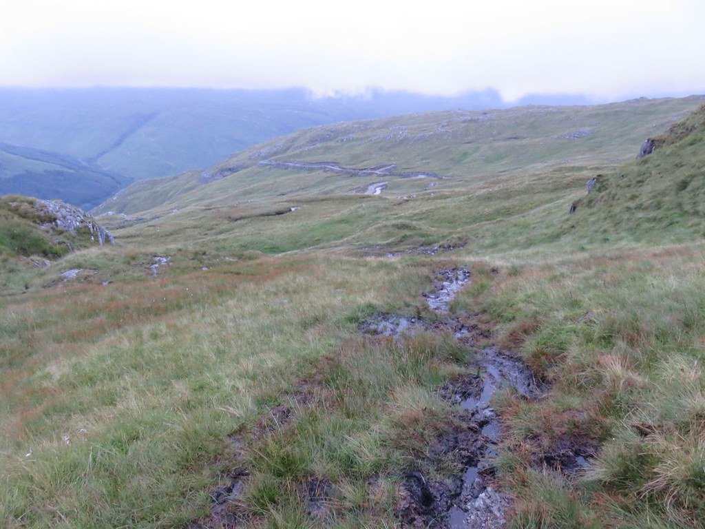
The traverse back over was quite steep and I was glad to get onto the ridge down. Found a fence and followed that to a gate and another fence and a path, another gate and fence, but it was still a bit nippy with the bracken and the fading light and I was glad to get all the way down to the track and cottage

Image

Marched back to the mobility allowance, put the head torch on and got sorted out.
Sixteen minutes to get back to the car in the dark :shock:

It was a real shame about the clag, I am definitely keen to go back and get the views from the ridge and those of the islands from the summit. Next time though I will push the bike up the steep start of the hydro track and cycle where I can to the end of it assuming it is near the a point where I can access the other top as per the WH return path, do the full ridge and have a fabulous roll back down 8)
Last edited by ancancha on Sun Aug 23, 2015 7:55 pm, edited 1 time in total.
User avatar
ancancha
Mountain Walker
 
Posts: 989
Munros:84   Corbetts:3
Fionas:1   Donalds:1
Joined: Jun 30, 2014
Location: Killadysert

Re: Beinn Bhuidhe what waterfall ?

Postby electricfly » Sun Aug 23, 2015 6:54 pm

Nice one! :D

I assume you did this yesterday, 22/08/15 rather than today, 23/08/15 as stated...

...because it isn't dark yet! :lol:
User avatar
electricfly
 
Posts: 1657
Munros:282   Corbetts:34
Fionas:10   Donalds:1
Sub 2000:9   Hewitts:26
Wainwrights:45   
Joined: Mar 19, 2012

Re: Beinn Bhuidhe what waterfall ?

Postby spiderwebb » Sun Aug 23, 2015 7:09 pm

Nice one, it looks to be a great hill, like your good self I had the clag and rain and wind all hit me at the summit ridge, which compared to the conditions walking up was somewhat different, not to mention folks coming off saying what stunning views, so yes next time :D
User avatar
spiderwebb
Munro compleatist
 
Posts: 1515
Munros:97   Corbetts:15
Fionas:3   Donalds:1
Hewitts:108
Wainwrights:68   
Joined: May 18, 2011
Location: Miltonduff, Elgin

Re: Beinn Bhuidhe what waterfall ?

Postby katyhills » Sun Aug 23, 2015 7:20 pm

Shame you didn't get the views - I was there last month and had a glorious day - thoroughly enjoyed it. I went up the same route you did. I enjoyed my lunch watching the butterflies on that part of the burn which is all rocks but they weren't keen to stay still for a photo! Your pic is really lovely. A small detour on the open section meant I got some nice photos of the spotted orchids, before going straight up the middle onto the ridge. I came down the hydro track which was actually ok. I walked it all as I don't cycle, but I didn't find it taxing. I've done lots of longer, much more strenuous walks.
I'd definitely go back on another occasion - hope you do and you get some clear weather for the views. Nice report and pix :)
katyhills
Walker
 
Posts: 375
Munros:120   Corbetts:28
Fionas:7   Donalds:2
Sub 2000:3   
Joined: Jul 7, 2015

Re: Beinn Bhuidhe what waterfall ?

Postby ancancha » Sun Aug 23, 2015 7:56 pm

electricfly wrote:Nice one! :D

I assume you did this yesterday, 22/08/15 rather than today, 23/08/15 as stated...

...because it isn't dark yet! :lol:


:lol: oops :!:
User avatar
ancancha
Mountain Walker
 
Posts: 989
Munros:84   Corbetts:3
Fionas:1   Donalds:1
Joined: Jun 30, 2014
Location: Killadysert

Re: Beinn Bhuidhe what waterfall ?

Postby ancancha » Sun Aug 23, 2015 8:01 pm

spiderwebb wrote:Nice one, it looks to be a great hill, like your good self I had the clag and rain and wind all hit me at the summit ridge, which compared to the conditions walking up was somewhat different, not to mention folks coming off saying what stunning views, so yes next time :D


Cheers spiderweb.
Yes quite a difference once you get up to the ridge, I got wind as well as the clag too :!:
It definitely looks like it should be a cracker and easily accessed.
User avatar
ancancha
Mountain Walker
 
Posts: 989
Munros:84   Corbetts:3
Fionas:1   Donalds:1
Joined: Jun 30, 2014
Location: Killadysert

Re: Beinn Bhuidhe what waterfall ?

Postby ancancha » Sun Aug 23, 2015 8:09 pm

katyhills wrote:Shame you didn't get the views - I was there last month and had a glorious day - thoroughly enjoyed it. I went up the same route you did. I enjoyed my lunch watching the butterflies on that part of the burn which is all rocks but they weren't keen to stay still for a photo! Your pic is really lovely. A small detour on the open section meant I got some nice photos of the spotted orchids, before going straight up the middle onto the ridge. I came down the hydro track which was actually ok. I walked it all as I don't cycle, but I didn't find it taxing. I've done lots of longer, much more strenuous walks.
I'd definitely go back on another occasion - hope you do and you get some clear weather for the views. Nice report and pix :)


Thanks katyhills
If I get the chance I will definitely be back, it looks like it has a lot to offer.
Did you find the road tough coming down the steep bit :?: I'm sure I'll find it tough pushing the bike up, but if the start is as well made as further up then should be fine getting back down.
There were lots of butterflies, mostly when I got close they fluttered off, so was happy when one obliged.
User avatar
ancancha
Mountain Walker
 
Posts: 989
Munros:84   Corbetts:3
Fionas:1   Donalds:1
Joined: Jun 30, 2014
Location: Killadysert

Re: Beinn Bhuidhe what waterfall ?

Postby katyhills » Sun Aug 23, 2015 9:38 pm

Didn't find it particularly bad apart from a sharp little stretch when I was almost back down to meet the main tarmac estate road, near where you cross the bridge over the river on the double bend. Steep stretches of anything are awkward for me because of my knee but I didn't find it unpleasant. This was my 'lunch' view :)
Image
katyhills
Walker
 
Posts: 375
Munros:120   Corbetts:28
Fionas:7   Donalds:2
Sub 2000:3   
Joined: Jul 7, 2015

Re: Beinn Bhuidhe what waterfall ?

Postby ancancha » Sun Aug 23, 2015 10:09 pm

katyhills wrote:Didn't find it particularly bad apart from a sharp little stretch when I was almost back down to meet the main tarmac estate road, near where you cross the bridge over the river on the double bend. Steep stretches of anything are awkward for me because of my knee but I didn't find it unpleasant. This was my 'lunch' view :)
Image


About where I crossed over on my return. Nice lunch spot on a nice sunny day 8)
I saw the get up point just after the bridge, it was covered in cattle when I rode by, another reason for carrying on :lol: It did look step which can be an issue on the bike if the track isn't great, but from the look of it further up it should be fine.
Thanks for replying to my question, much appreciated :thumbup:
User avatar
ancancha
Mountain Walker
 
Posts: 989
Munros:84   Corbetts:3
Fionas:1   Donalds:1
Joined: Jun 30, 2014
Location: Killadysert

Re: Beinn Bhuidhe what waterfall ?

Postby thomsok » Mon Aug 24, 2015 10:55 am

Good report, this is still on my list, will need to get my bike organised for it, as it looks a long way in. Going to promise myself a visit to the Loch Fyne Brewery bar as the incentive for getting it done. The Butterfly you have pictured is a Scotch Argus and I am with you on your bird picture - looks very much like a Raven!
User avatar
thomsok
Mountain Walker
 
Posts: 75
Munros:176   Corbetts:6
Fionas:3   Donalds:4
Sub 2000:13   Hewitts:3
Wainwrights:2   Islands:28
Joined: Jan 15, 2009
Location: Dunfermline

Re: Beinn Bhuidhe what waterfall ?

Postby teaandpies » Mon Aug 24, 2015 12:17 pm

thomsok wrote:Good report, this is still on my list, will need to get my bike organised for it, as it looks a long way in. Going to promise myself a visit to the Loch Fyne Brewery bar as the incentive for getting it done. The Butterfly you have pictured is a Scotch Argus and I am with you on your bird picture - looks very much like a Raven!


Loch Fyne Brewery have a festival. It called Fynefest. It's not the kind of festival where folk get high on pills but a beer festival where you get to sample a wide range of their product. It's a great day out or if you can handle a full weekend that's also an option. The old both is used as a venue for music and another bar, I think they call it the walkers bar because you have a 3k walk to get to it :lol:


I've been putting this hill off, it's the last local(ish) one for me then it's Ben More and a couple more around Crianlarich. I'm not bothered by a walk in but if I walk in I'm taking the new road back down the hill :lol:
teaandpies
Mountain Walker
 
Posts: 970
Munros:116   Corbetts:22
Fionas:9   Donalds:2
Sub 2000:9   Hewitts:6
Joined: Mar 19, 2014
Location: Glasgow

Re: Beinn Bhuidhe what waterfall ?

Postby jmarkb » Mon Aug 24, 2015 1:10 pm

Well, I guess the waterfall is no more, except in spate conditions: the "drainage ditch" is actually a catchment leat for the hydro scheme. Co-incidentally, the scheme was officially opened today: http://news.scotland.gov.uk/News/Opening-of-Merk-hydro-scheme-1c25.aspx. There's a map of the various bits here: http://www.merkhydro.com/the-scheme.php.

ancancha wrote:Allt na Faing; great name, what does it mean
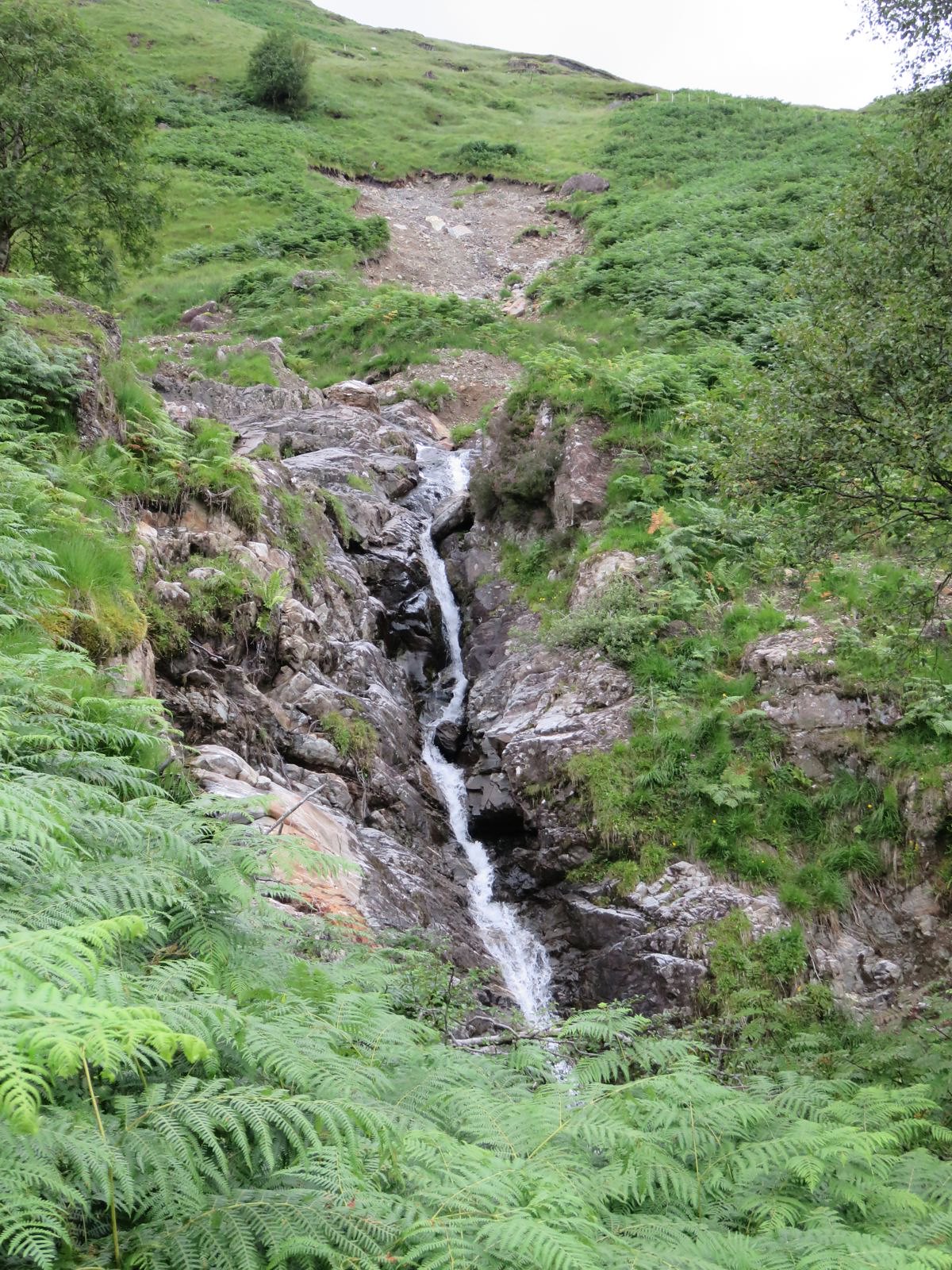
It's the "stream of the sheepfold" (same word as "fank" in Scots).

An alternative descent (which doesn't add a lot more effort if you have cycled in) is to follow the ridge to the 901 NE top, then descend ESE to about 680m and turn left down an obvious rake into the lower part of Coire Dubh. Follow the Allt a' Mhuiilin down to meet the track about 0.5 km N of Inverchorachan.
User avatar
jmarkb
Mountaineer
 
Posts: 5883
Munros:246   Corbetts:105
Fionas:91   Donalds:32
Sub 2000:46   
Joined: Oct 28, 2011
Location: Edinburgh

Re: Beinn Bhuidhe what waterfall ?

Postby ancancha » Mon Aug 24, 2015 1:21 pm

jmarkb wrote:Well, I guess the waterfall is no more.....


ancancha wrote:Allt na Faing; great name, what does it mean

It's the "stream of the sheepfold" (same word as "fank" in Scots).

jmarkb wrote:An alternative descent.....


Cheers jmarkb, much appreciated :thumbup:
I doubt the waterfall will be again :(
It was pretty wet up there and so far as I know heavy rain the week before, but barely a trickle coming over it :(
Last edited by ancancha on Mon Aug 24, 2015 1:38 pm, edited 1 time in total.
User avatar
ancancha
Mountain Walker
 
Posts: 989
Munros:84   Corbetts:3
Fionas:1   Donalds:1
Joined: Jun 30, 2014
Location: Killadysert

Re: Beinn Bhuidhe what waterfall ?

Postby ancancha » Mon Aug 24, 2015 1:36 pm

teaandpies wrote:
thomsok wrote:Good report, this is still on my list, will need to get my bike organised for it, as it looks a long way in...


It called Fynefest. The old both is used as a venue for music and another bar.....


Ah that will explain why they don't want easy access for biker hikers :!:
The brewery looked sorted, Glen Fyne Brewery
User avatar
ancancha
Mountain Walker
 
Posts: 989
Munros:84   Corbetts:3
Fionas:1   Donalds:1
Joined: Jun 30, 2014
Location: Killadysert

Re: Beinn Bhuidhe what waterfall ?

Postby teaandpies » Mon Aug 24, 2015 2:14 pm

ancancha wrote:
teaandpies wrote:
thomsok wrote:Good report, this is still on my list, will need to get my bike organised for it, as it looks a long way in...


It called Fynefest. The old both is used as a venue for music and another bar.....


Ah that will explain why they don't want easy access for biker hikers :!:
The brewery looked sorted, Glen Fyne Brewery


I don't think it's open all year or anything. They just make use of it. I didn't actually know about it when I was at Fynefest this year, I didn't read the information and just headed for the main beer tent where I spent the rest of the day :crazy: :lol:
teaandpies
Mountain Walker
 
Posts: 970
Munros:116   Corbetts:22
Fionas:9   Donalds:2
Sub 2000:9   Hewitts:6
Joined: Mar 19, 2014
Location: Glasgow

5 people think this report is great.
Register or Login
free to be able to rate and comment on reports (as well as access 1:25000 mapping).

Next


Can you help support Walkhighlands?


Our forum is free from adverts - your generosity keeps it running.
Can you help support Walkhighlands and this community by donating by direct debit?


Return to Walk reports - Scotland

Who is online

Users browsing this forum: _andy, Anne C, ChelseaMurray, jstan, MBLP, McMole, Melf1278, MRG1 and 109 guests