free to be able to rate and comment on reports (as well as access 1:25000 mapping).
Munros: Maol Chean-dearg.
Date: 04/01/2016.
Distance: 21km.
Ascent: 1130m.
Time taken: 6 hours 20 minutes.
Weather: Grey, mostly dry, very windy in places, no snow.
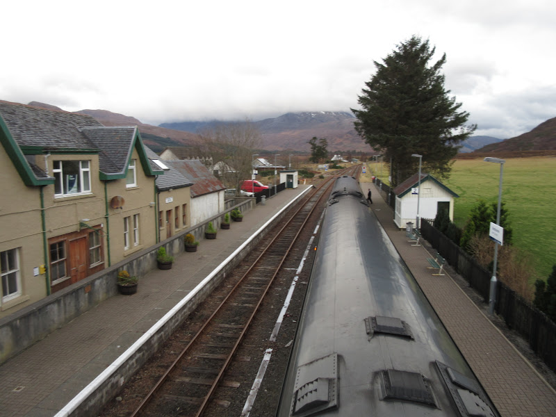
Back into the swing of things for new year, but my wife had gone away with the car, so I made my way down to the station for the 8:55am train to Strathcarron. Between Achnashellach and Strathcarron, there are a dozen or so possible day walk options, both high and low. While I had a couple of preferences in mind, I decided to wait until I got there to see what the weather was like (it was barely light in the east, even at 9:30).
As I had nowhere to leave my axe/crampons while I was out, I had to decide to bring them before leaving Inverness. This meant my larger winter bag, which resulted in me packing in lots of other clutter as well. Usually I prefer to travel light but I now had a flask of tea, a flask of soup, my trainers (for sitting in the pub/travelling home in later) and quite a selection of spare clothes in addition to the winter kit. I decided to think of this as 'extra training weight'

.
Strathcarron:
As soon as I was off the train, Sgurr a' Gharaidh began to tempt me away from my previous thoughts of walking up to Coulags. By the time I had reached the bridge over the Carron, I had swung back to my Coulags plan, with the intention of going up either An Ruadh-stac or Meall Chean-dearg or both.
Glas Bheinn (Sgurr a’ Gharaidh hiding behind):
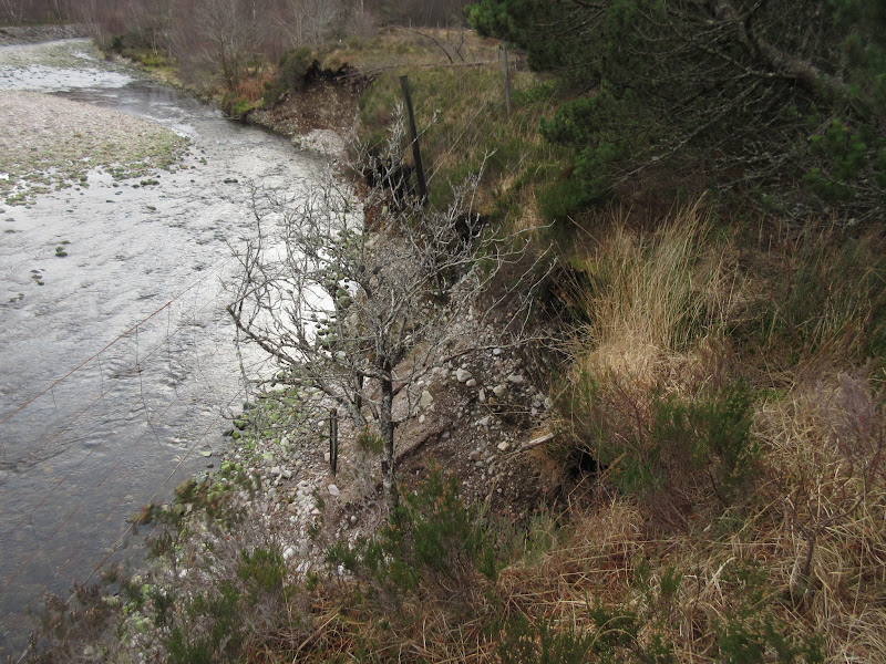
I used the path along the river bank to reach Coulags, adding a short extension of my own on to minimise the road walking. This was a slight mistake, as the last section involved following a bank of the Fionn-abhainn which had been eroded away, leaving me to climb a deer fence and crash through a thick conifer plantation on the far side. In retrospect, the Fionn-abhainn would have been easy enough to wade, taking me to a path on the other bank.
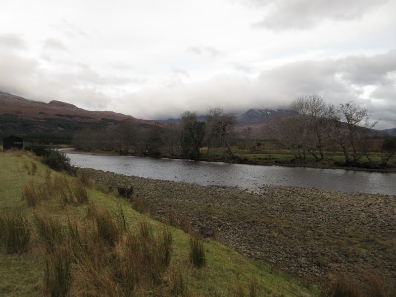
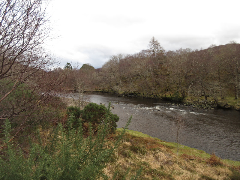
River Carron:
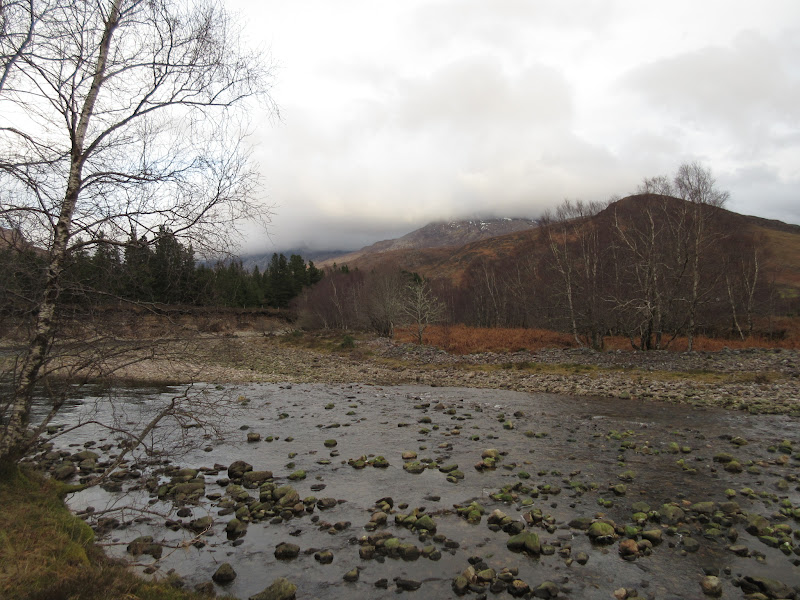
Fionn-abhainn with Coulags hills behind:
A rather annoying stretch of the west bank of the Fionn-abhainn:
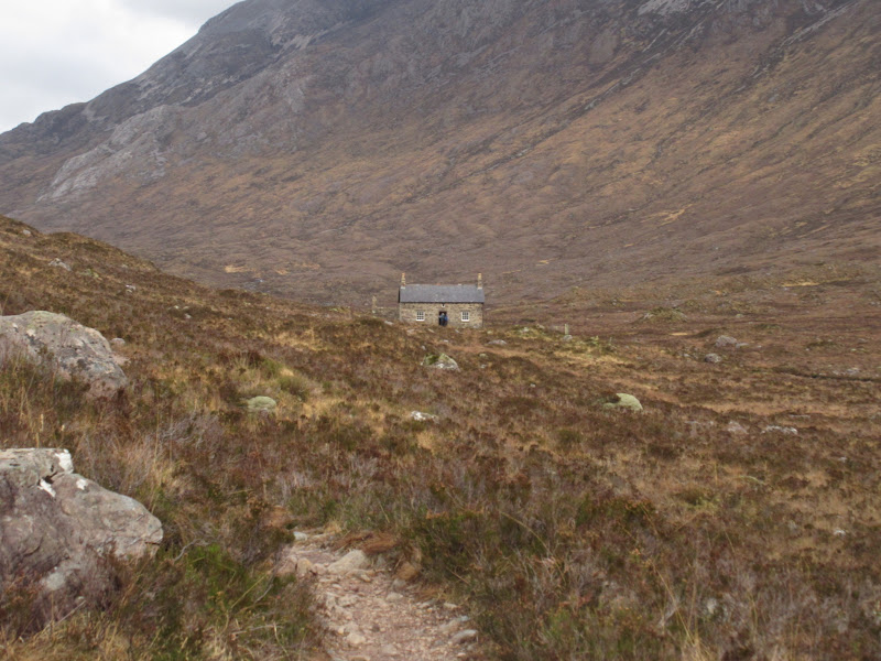
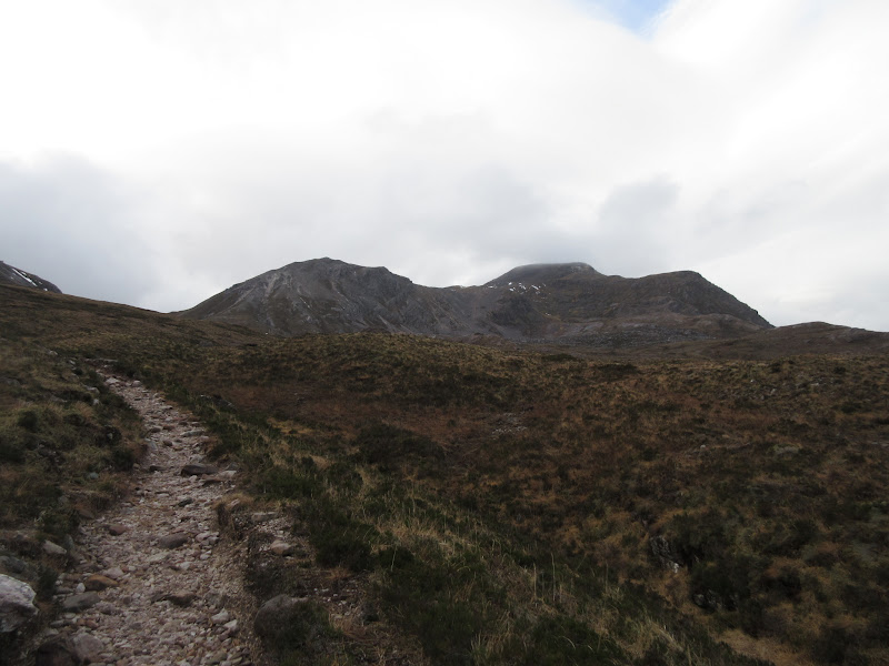
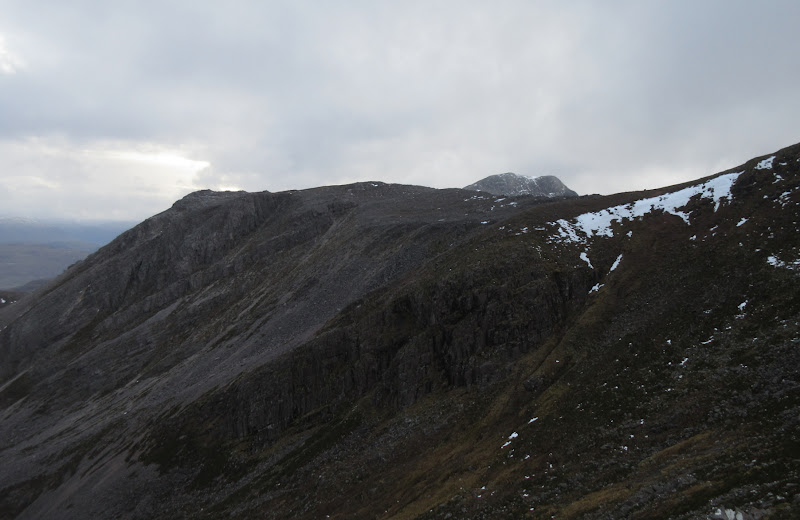
Then it was up the usual path from Coulags to Coire Fhionnaraich bothy. I felt the odd spit of rain and it was quite gusty. At this point I was gravitating towards An Ruadh-stac only, but I didn't have to decide yet. I passed a couple who were doing a lower circuit of the stalkers paths, having left their kit in the bothy for a night there. Then I was tempted by the east ridge (and clear summit) of Maol Chean-dearg - I had spotted this on the map but was unsure how easy it would be, having approached this hill from a couple of rather entertaining directions in the past. However it looked easy on the ground. Given the gusts and occasional dampness, I now decided that avoiding the slippery quartz ascent of An Ruadh-stac would be prudent - I could always include it later if the wind dropped.
An Ruadh-stac from Coulags:
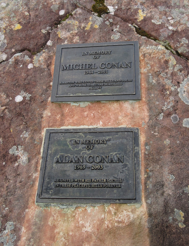
Memorial in the glen:
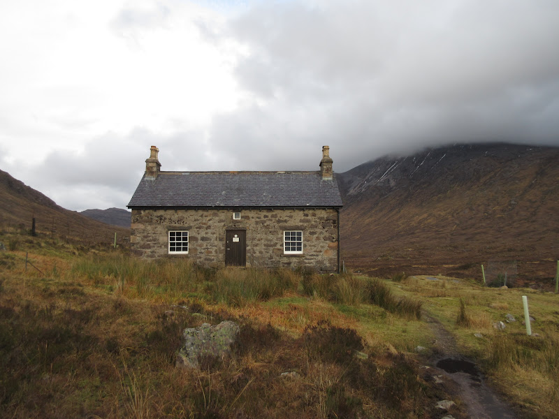
Coire Fhionnaraich bothy:
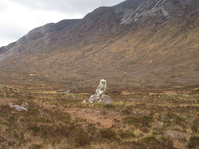
Clach nan Con-fionn:
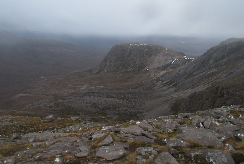
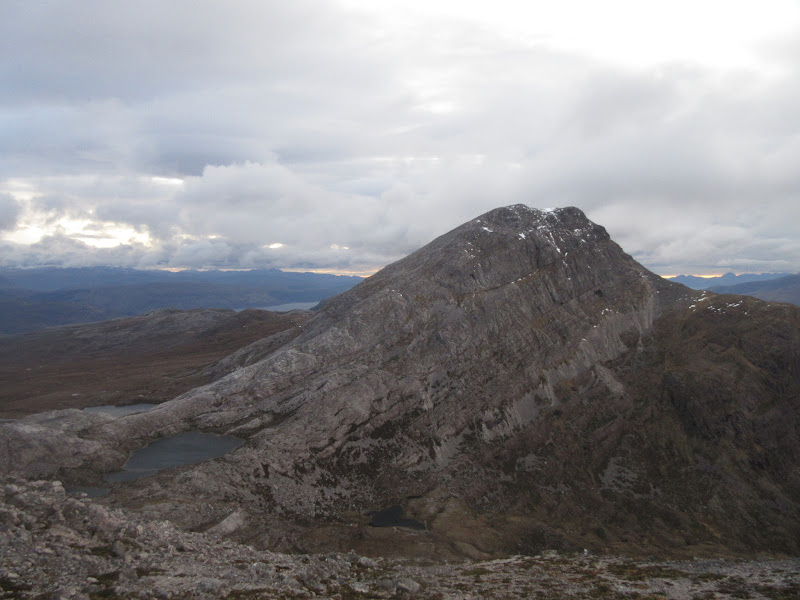
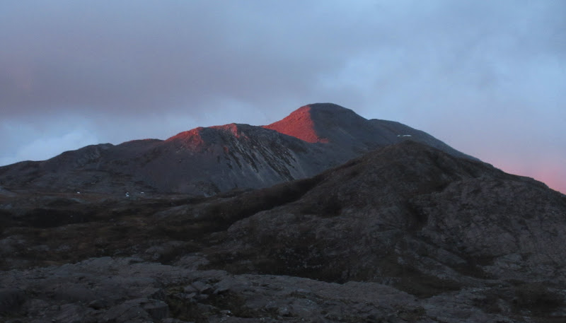
Maol Chean-dearg ahead. No cloud on summit was one of the things that made me change my plan:
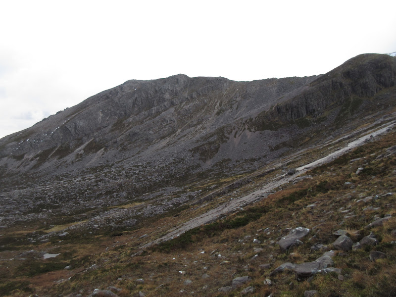
Although the ground was a little rough on the way over to the east ridge, this proved to be a good way up, occasionally walking up slabs of sandstone. Just before reaching the crest, I stopped for some lunch. I had a feeling that higher up would be a bit wild for stopping.
Western wall of Coire Garbh:
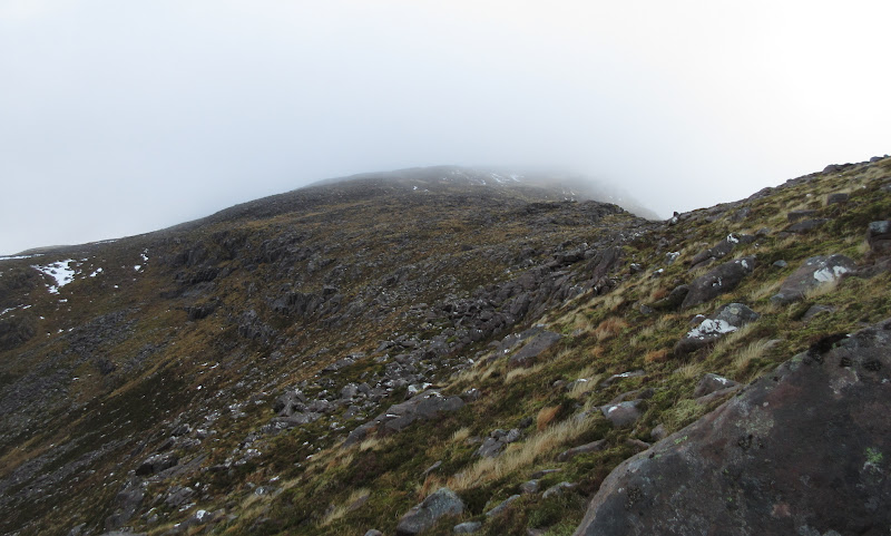
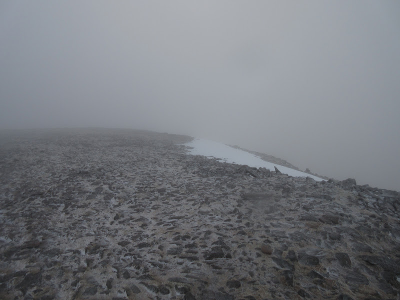
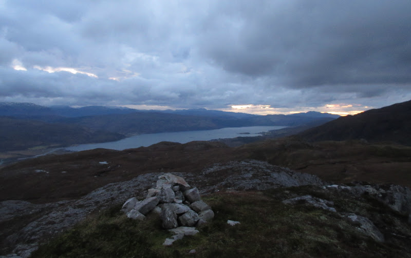
It certainly was pretty wild for the rest of the ascent, although the actual summit wasn't that bad in the end. No views though. For a hill that is usually approached from a single direction on the final ascent, I was pleased to have been up or down it from four different sides - my descent down the usual route being the latest.
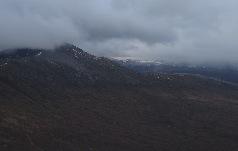
Fuar Tholl and the hills south of Strathcarron:
Nearly there:
An Ruadh-stac peeks over the spur:
Meall nan Ceapairean:
Not much to see at the top:
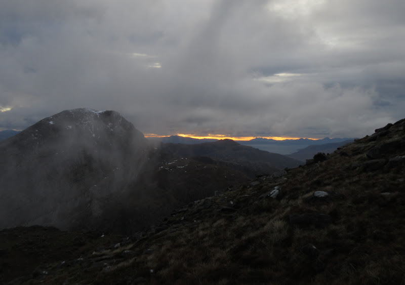
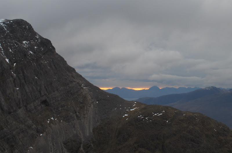
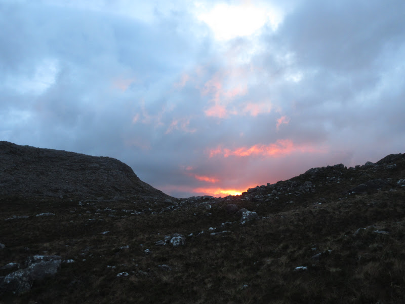
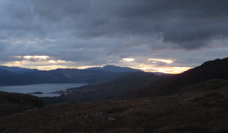
The wind was much worse on the way down and a thin layer of frosty snow on the screes made it a bit of a chore. Still, when I popped out of the clag, there was a yellow glow on the western horizon, hinting at much better weather out there. Took me a few attempts to stand still enough to get a non-blurry photo though!
…but it’s nice somewhere to the west:
An Ruadh-stac:
Glowing over the Red Cuillin:
The wind just wouldn't relent on the way down, and the path crosses a rough section of quartzy rock at this point. I was glad I had chosen an alternative way up as this would have been tedious in the conditions. I thought my hat was going to blow off - then it did, fortunately catching on the rocks a few meters away. Yuck.
An Ruadh-stac again:
Finally down at the col, I met another couple who had just come down from An Ruadh-stac. They had experienced a similar phenomenon, where the top had been reasonably calm, but the descent had been a bit of a trial. They had also been able to see the impressive skies out to the west, so had probably made the better hill choice in the end. I briefly thought about going up, but it was now 3pm. This wasn't a descent I fancied doing in the dark in ferocious winds while trying to rush for the 6pm train home, so I left it.
Beinn Damh:
Instead I traversed round the eastern slopes of the hill in order to take a cross-country line back to Strathcarron. This would drop me down at the A890/A896 junction a short distance from the station, although I didn't know what the ground would be like.
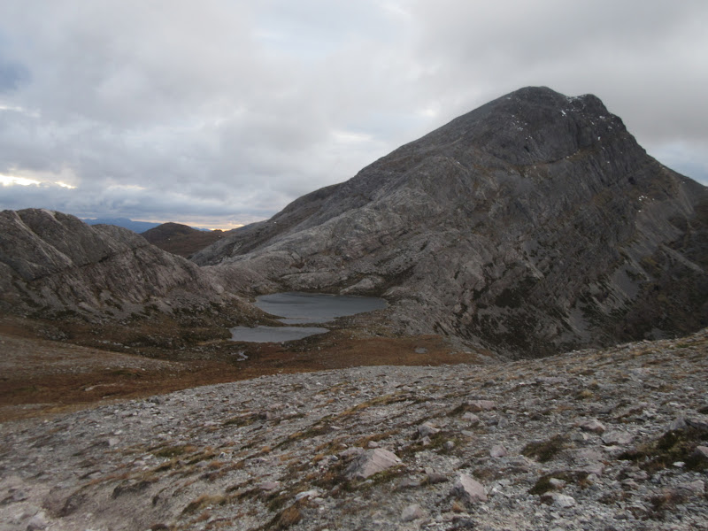
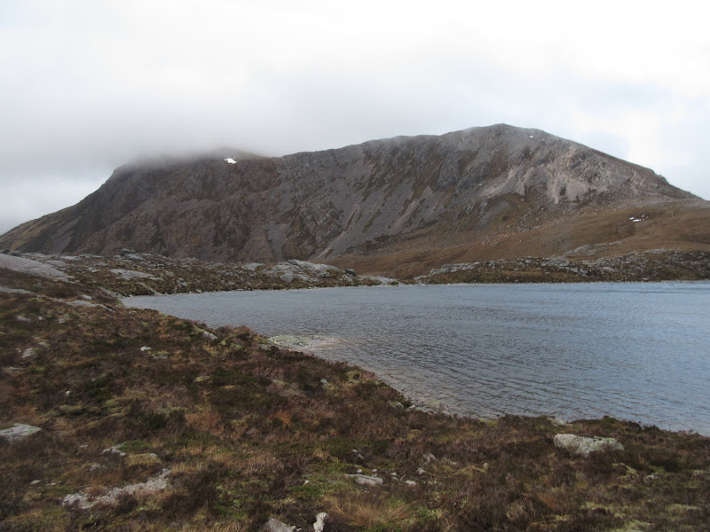
Back to Maol Chean-dearg from Loch a’ Mhadaidh Ruadh:
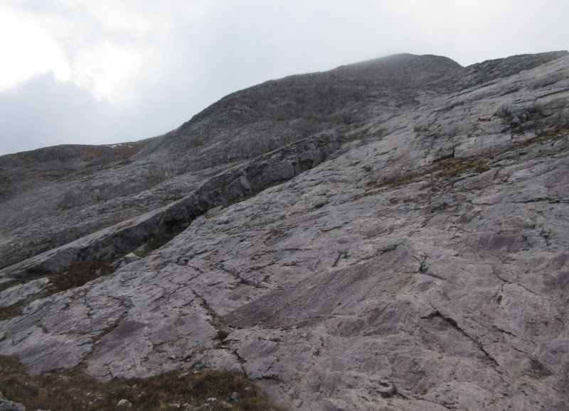
Slabs on the east face of An Ruadh-stac:
Although the ground was a bit slippy due to being saturated at various points over the last few weeks, the going was very easy. While stopping for another break, I noticed the sky begin to turn crimson in the west, so I packed up and rushed back onto the skyline to see how it looked.
Rushing to see more of the sunset:
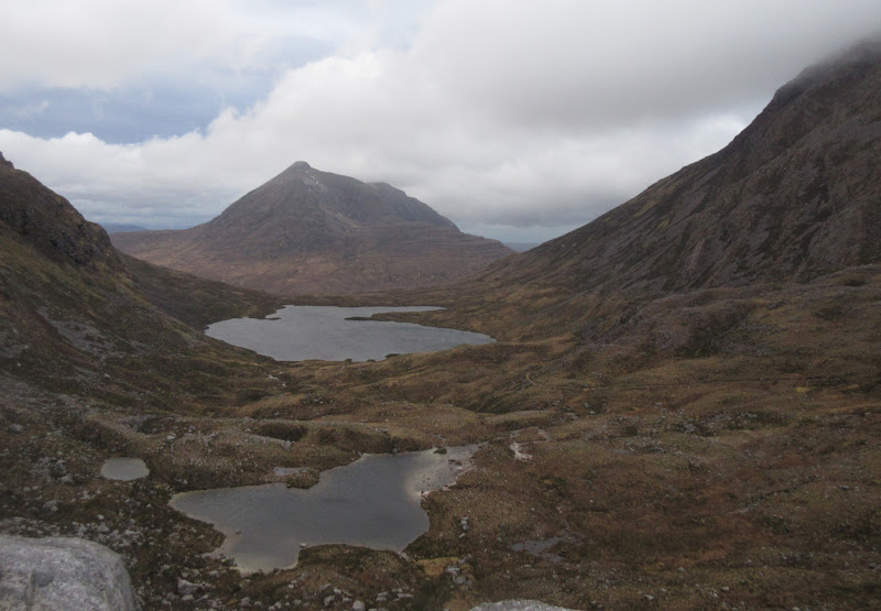
It was great. Sgurr a' Gharaidh looked particularly impressive from this angle, and on top of that there was some really nice lochan scenery between me and the road. It reminded me of
Beinn Reidh above Inchnadamph Shame it was rapidly getting dark.
Looking back to An Ruadh-stac:
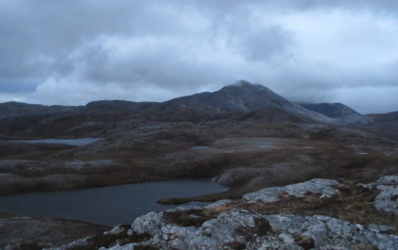
Glas Bheinn and Sgurr a’ Gharaidh across Loch a’ Mhuilinn:
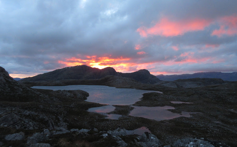
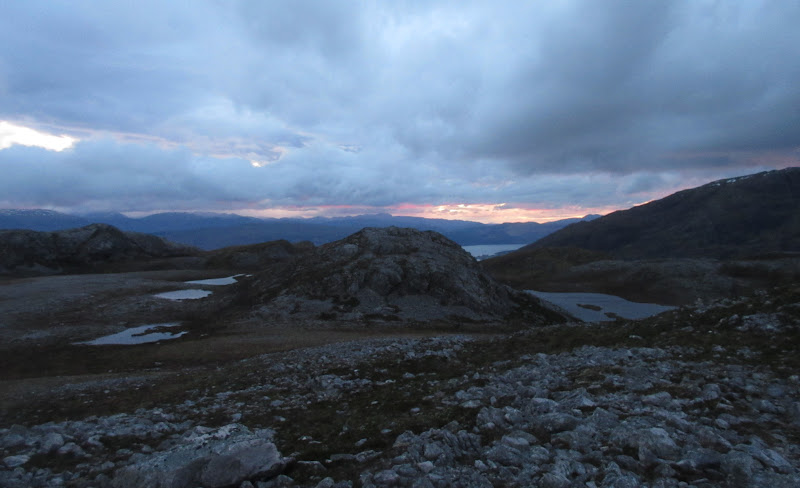
Other lochans in the area:
After some minor up and down, I was on the final descent to the road. Aside from a short wettish section on the floodplain, the descent was on easy grassy ground, and I didn't bother getting my torch out. I'd definitely use this return route from An Ruadh-stac/Maol Chean-dearg again, or even explore it in its own right.
Across Loch Carron to the last of the sunset:
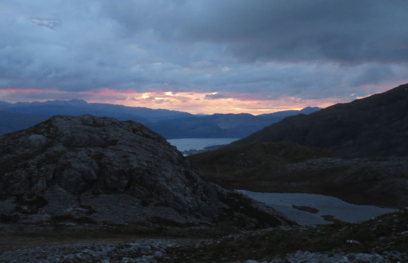
Loch Carron:
Last look back to An Ruadh-stac:
Then it was a short wander back along the road in the dark, occasionally diving into the verge to let a logging lorry pass (I could probably have done with my torch here, but was too lazy to dig in my pack for it). After getting changed quickly in the station waiting room, I headed back into the Strathcarron Hotel to fill up the last 40 minutes before my train arrived. They had Crofters' Pale Ale on tap (from the An Teallach brewery), which was a nice end to the day.
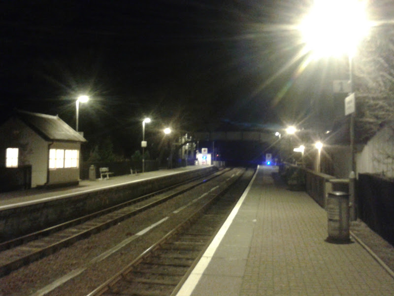
Strathcarron station again: