free to be able to rate and comment on reports (as well as access 1:25000 mapping).
I'd been looking forward to this meet for some time - my first ever visit to the Western Isles that didn't involve having to work! Even though I hadn't booked onto the St Kilda cruise, I knew there would be far more than a weekend's worth to keep me occupied. Gillian also decided to come along as she'd never been out before, so my thoughts switched to cycling as well as walking.
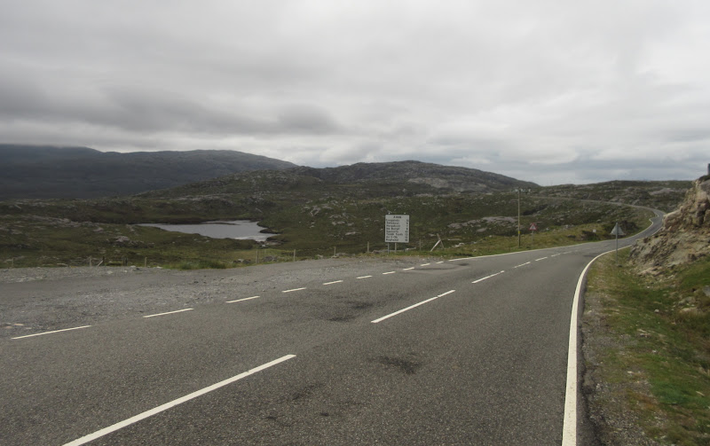
The weather didn't look particularly promising on Saturday morning but we set off on bikes down the Golden Road from Drinishader anyway. I was hoping for a full circuit of South Harris, but we could cut it short if it turned too miserable.
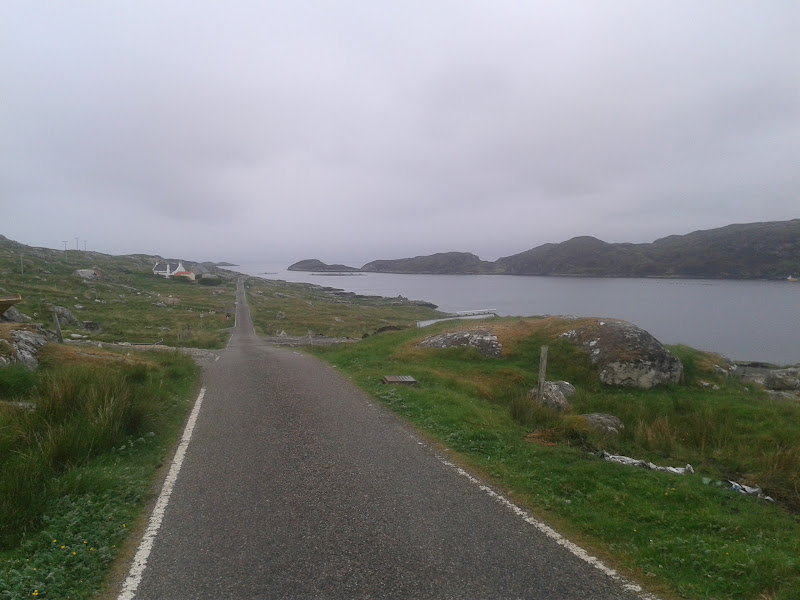
Looking back from Lackalee towards Stockinish:
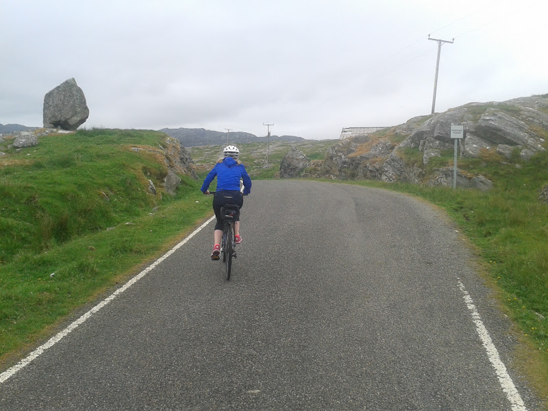
Gillian near Manish:
Watch out for that boulder!
Actually it turned out to be great cycling weather. It was warm and there were often spits of rain, but hardly any wind, making it really enjoyable. While most of the hills were in the cloud, the coastal scenery made up for it. The road was an endless up and down, passing through scores of small crofting communities, and there was hardly any traffic.
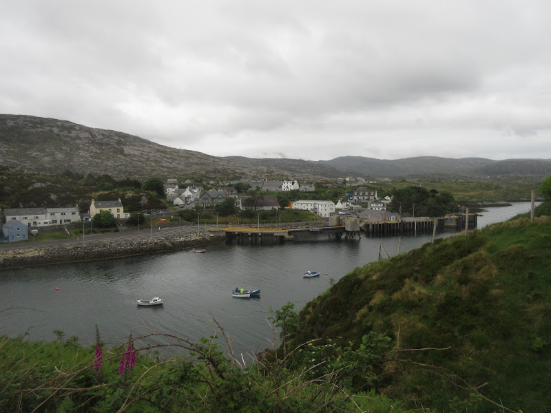
Then it was round the bottom of the island at Rodel and into Leverburgh. We stopped at the co-op for some shopping before pressing on to Northton, where I knew there was a café (the Temple Café). It was a very good one too, and we spent a good over lunch before heading back to the main road. Ceapabhal was in the cloud, so I didn't need to find an excuse to go up it, instead cycling up past the stunning beaches of the NW coast.
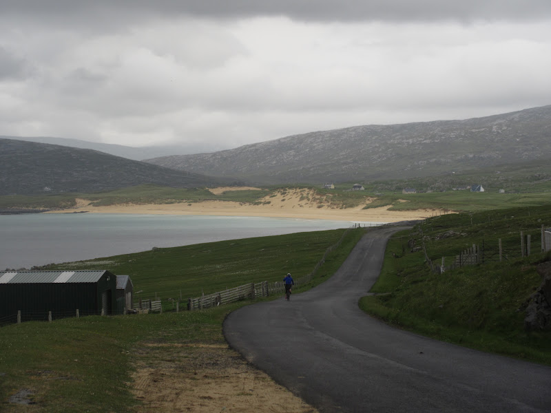
Down the hill to Traigh Mhor:
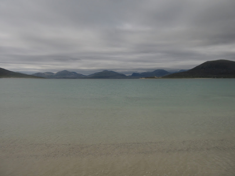
Despite the grey weather, the seas were blue and the scenery ever-changing. The only other time I had seen any of the Harris beaches (specifically Luskentyre), a thick mist had descended right to the shore, making it look rather disappointing. The long pull up to the high point between the two coasts was a bit of a drag, but by the time we got back to the Drinishader turning, we decided to make a detour to Tarbert instead to visit the new distillery and have more coffee and cake.
Top of the hill between Luskentyre and Tarbert:
Unnecessary detour into Tarbert:
Leaving Tarbert again was a bit of an uphill drag, and we were tiring slightly on the last ups and downs back to Drinishader. I later calculated the route to be around 48 miles with 1000m of ascent. A fine way to utilize the indifferent weather

.
--------------------------------------------------------------------------------
Sub 2k Marilyns: An Coileach, Helisabhal Mhor, Ceapabhal.
Date: 12/06/2016.
Distance: 11km + 6km.
Ascent: 650m + 400m.
Time taken: 3 hours, 30 minutes + 1 hour, 20 minutes.
Weather: Warm, clammy, calm. Some sun later on.
Oops - I'd forgotten this was supposed to be a walk report rather than a cycling one

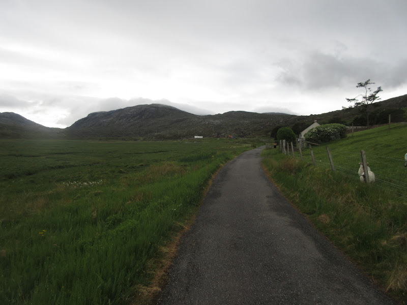
. The next day looked slightly unpromising but drier, so while Gill headed out for a run, I drove the short distance round to Seilebost and parked up at the end of a loop of old road. I'd picked the hills of An Coileach and Helisabhal Mhor as they were close by and likely to be clear of the cloud, but also because they looked interestingly rough, and were right in the centre of yesterday's bikeride.
Start of the walk near Seilebost:
I headed up the old road and branched off on a rough track that had been built to access a new hydro scheme. Turned out that the scheme was re-using the old water supply weir - the adjacent Seilebost waterworks is only used as a storage tank these days, and water is pumped over from Geocrab in the west (sadly I tend to navigate the Western Isles by waterworks and sewage works

).
Above the construction, the path is faint, but after weeks of no rain, it was pretty dry. I hadn't fully decided which hill to go up first, but on impulse I chose An Coileach.
North Harris hills and Beinn Dubh:
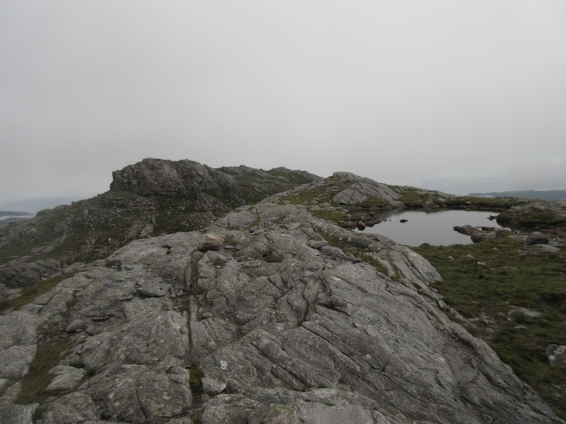
An easy gradient led up the broad rocky ridge to a craggy summit. Above about 200m, the vegetation thinned out and walking was lovely and easy.
Taransay:
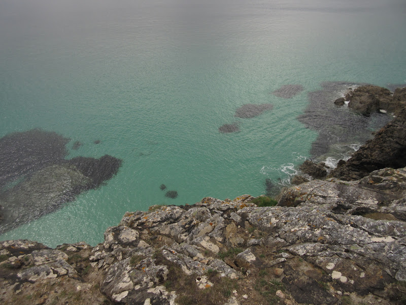
Views back to North Harris and Taransay were great, if a little grey. Sadly some cloud dropped in at the summit. I waited for it to clear but it didn't, so I dropped steeply down the south face of the hill to the col below Helisabhal Mhor. There was plenty of steep ground and wandering across gneiss slabs, before it was time to go back up again.
Summit of An Coileach:
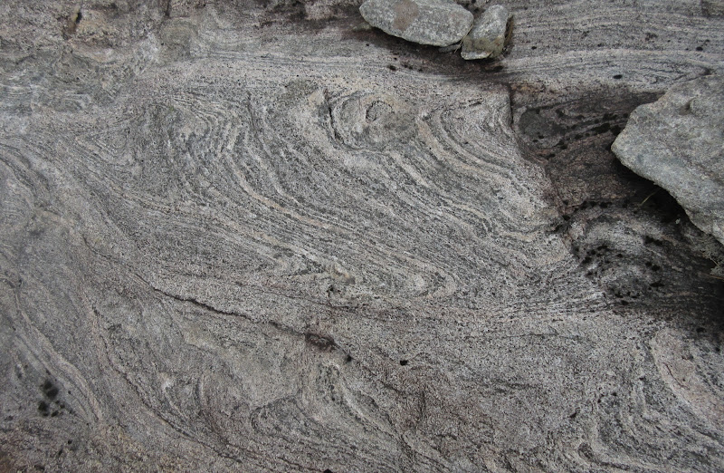
Folded strata:
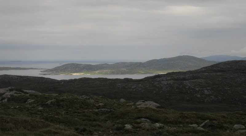
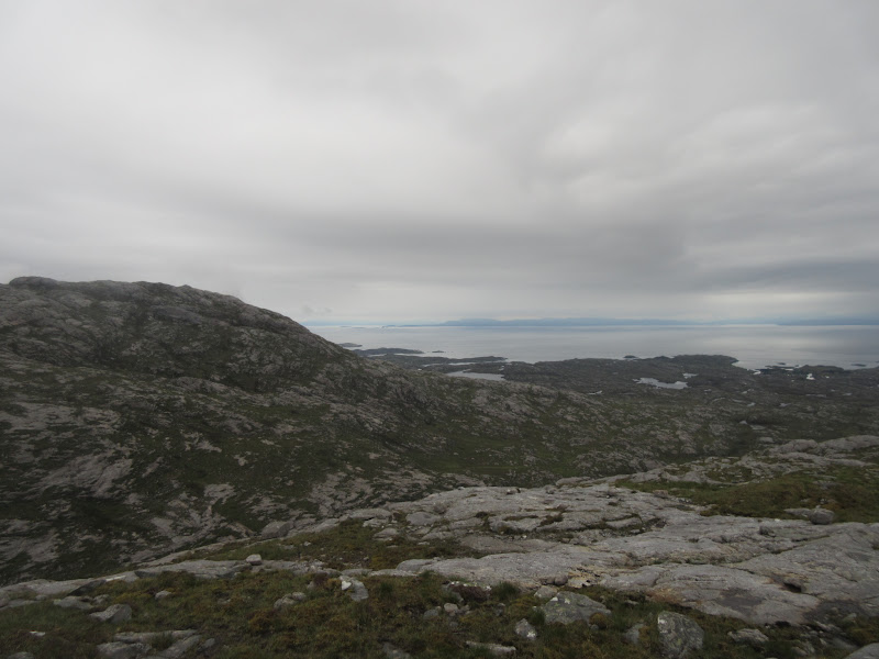
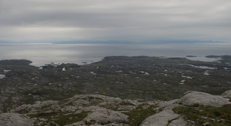
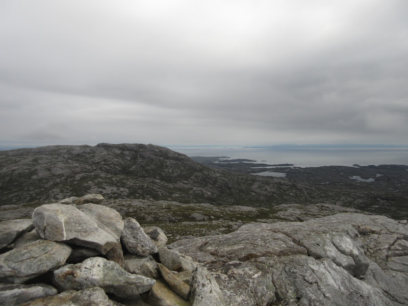
Fortunately the cloud lifted on Helisabhal Mhor, revealing the east coast we had cycled along, Skye, and North Uist to the south.
Back towards Grosebay on the east coast and An Coileach from Helisabhal Mhor:
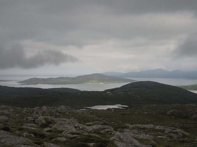
The Minch and Skye from Helisabhal Mhor:
Roinebhal:
Across the Sound of Harris to North Uist:
North to An Coileach:
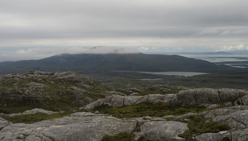
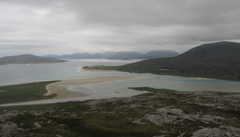
Typical Western Isles hills really - lost in a general jumble of rock but lovely walking and great views. The cloud was still sitting on the higher North Harris hills where most other folk had gone. I'd love to go up all of these on a good day, but they didn't seem especially enticing this weekend.
Sound of Taransay and the West Loch:
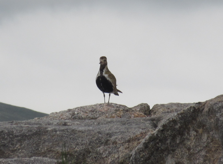
Plenty of Golden Plovers lower down the NW ridge. I always see lots of these at this time of year, but rarely quite so many or so close.
One of many, many golden plovers:
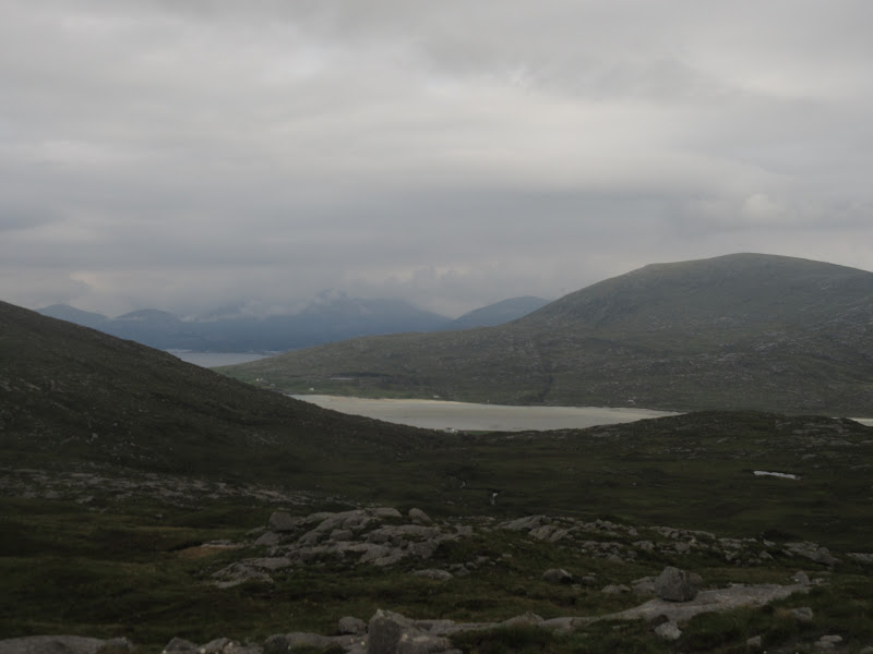
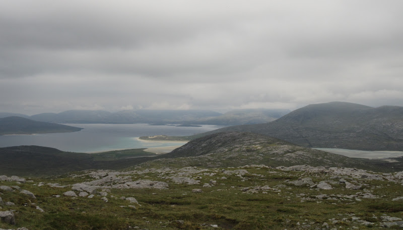
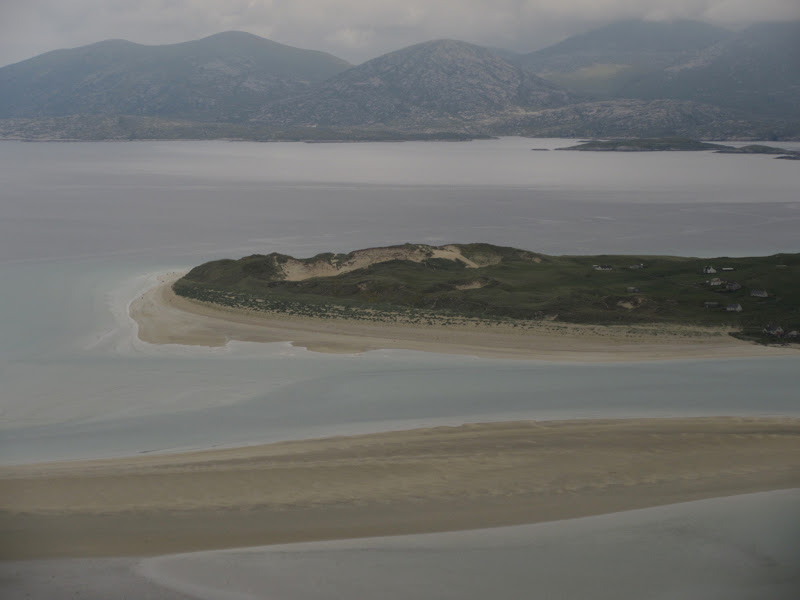
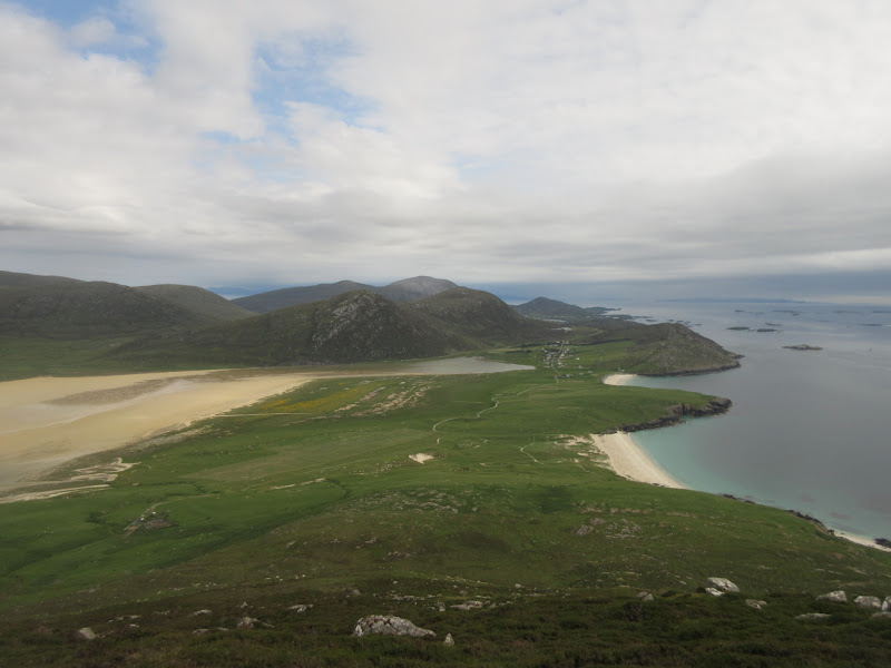
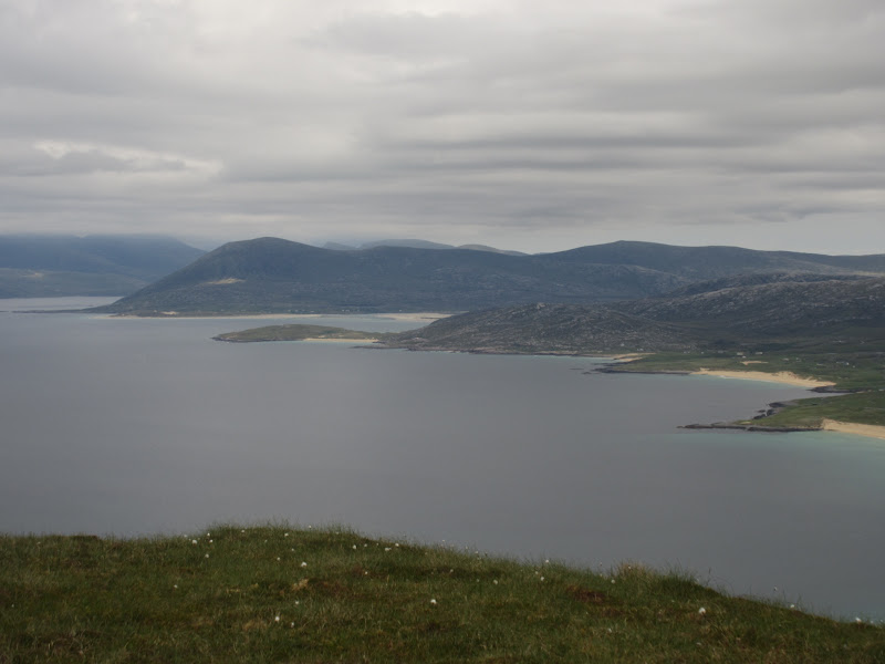
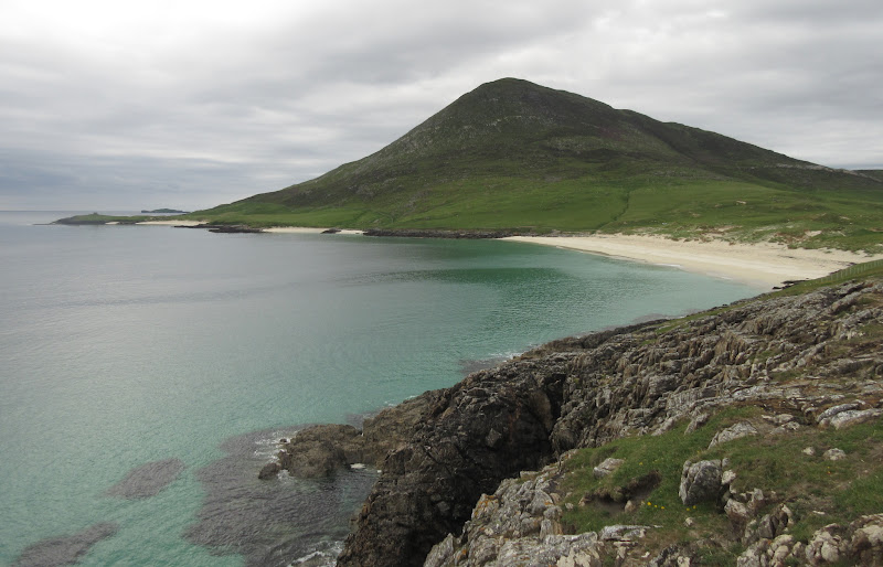
Rather than drop back to the hydro track as originally planned, I decided to continue over the bump of Carran, as this would have the best beach views of the walk. It certainly did.
Taransay and Luskentyre:
…and North Harris:
Luskentyre sands:
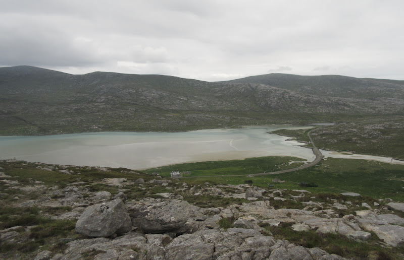
New(ish) road:
I dropped steeply back down to the old road, passing some new waymarkers on the lower slopes of the hill. These must be to mark an as-yet undeveloped section of the Harris Walkway, as there is no path worn yet, and the ground is pretty rough. It was a short drive back to Drinishader, where I had lunch with Gill.
----------------------------------------------------------------------------------------------------
After lunch, we headed back out for a drive, ending up at the Temple Café at Northton again. This is one of the places in Harris open on a Sunday, and accordingly, it was heaving. Bumped into Johnm here, who had been out on the North Harris hills in the morning.
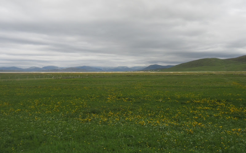
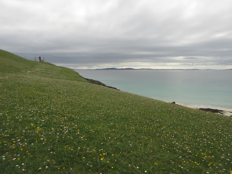
Machair at Northton – not in full flower but plenty of buttercups out:
It was clearing up to the point where the sun almost came out, so after wandering around the beaches at Northton, I decided to make a dash for Ceapabhal
Ceapabhal:
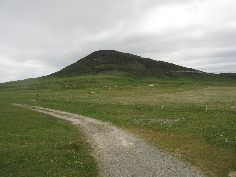
It was an easy walk over the machair to the foot of the hill (although when I told Gill how long I'd be, I'd forgotten to include this in the distance). Once through a gate by some sheep pens, the steep ascent began. Not sure where the path went here, or whether I'd even been on one, but the going was OK over heather.
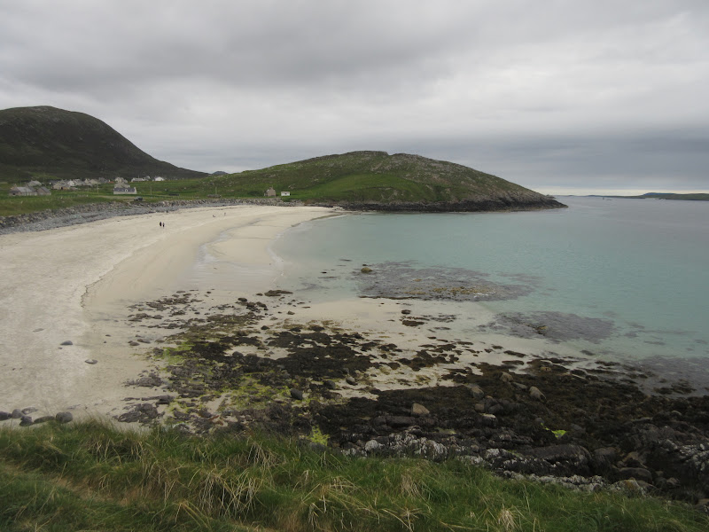
Traigh Scarasta:

Back to Northton and Maodal:
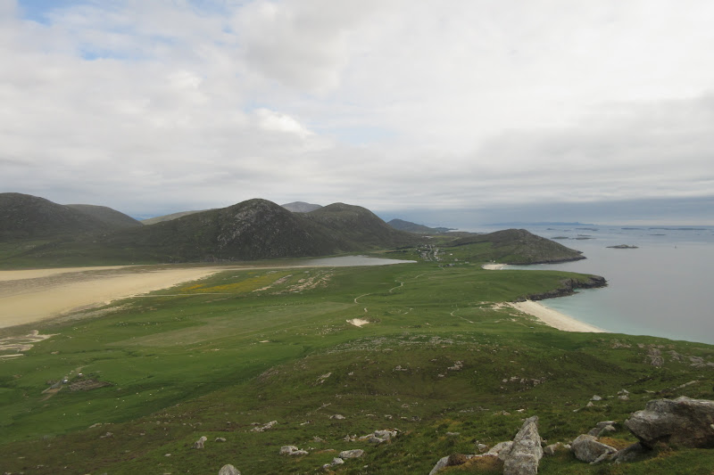
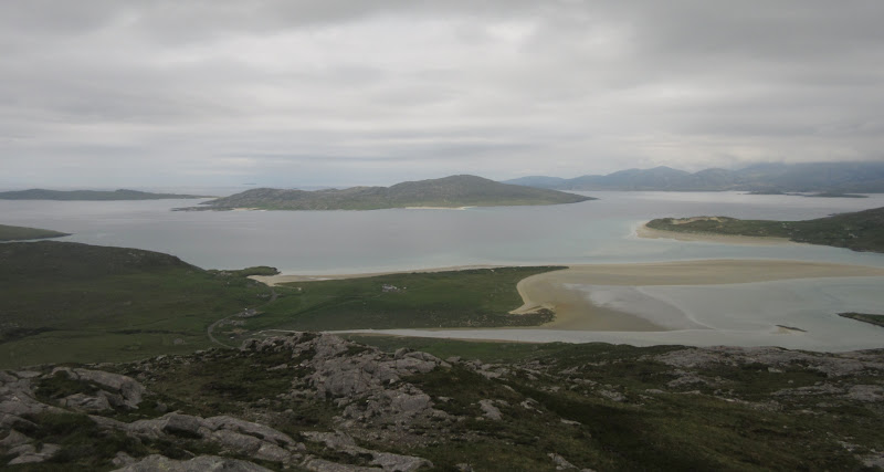
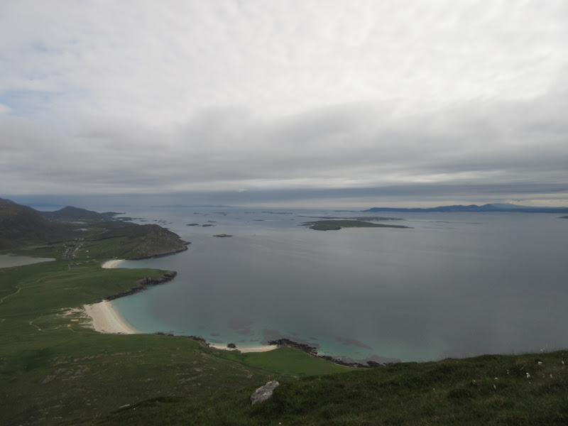
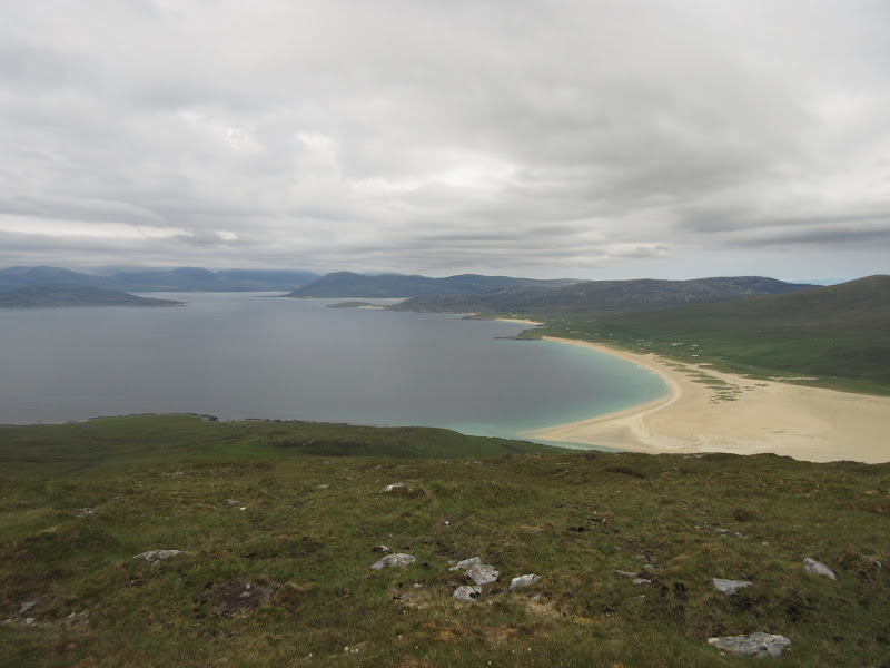
Views continually improve as you get higher, and I'd vote the top as one of the best viewpoints in the country - the offset from the rest of South Harris making for sweeping views up and down the coast.
Looking across Traigh Scarasta to North Harris:
Northton and Leverburgh:
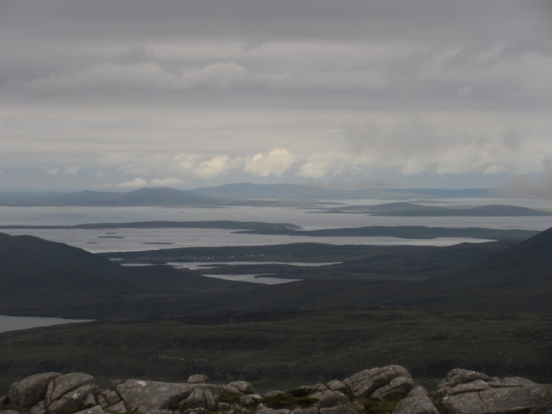
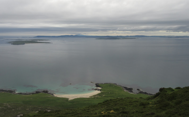
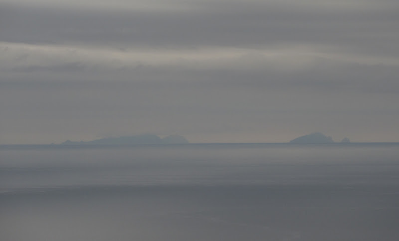
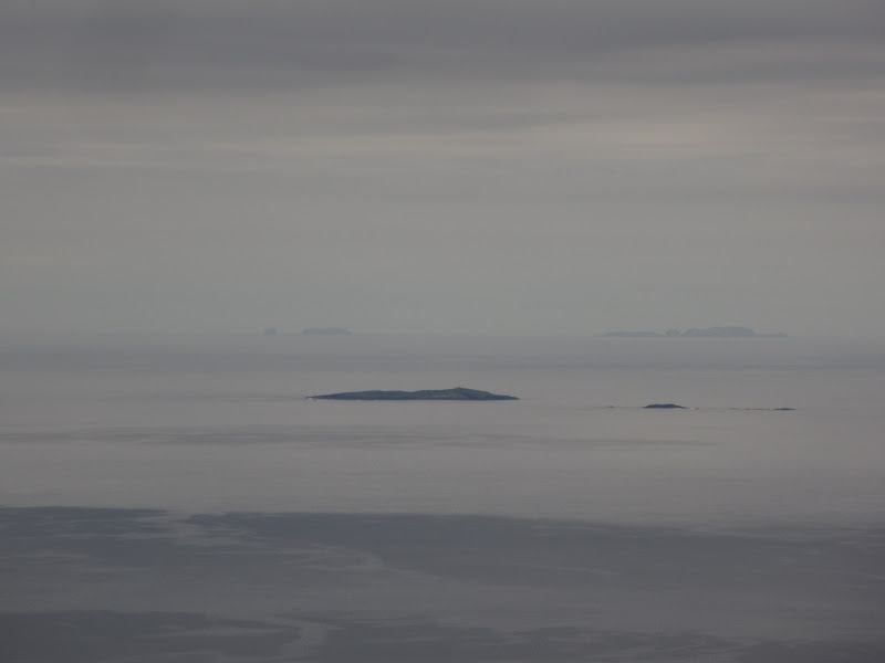
The Southern Isles were even clearer than this morning, with Bheinn Mhor prominent to the south. And over there on the western horizon....yes - St Kilda

. The only other time I'd seen it was from Sgurr nan Gillean on Skye, and it was so faint from there that I couldn't get a photo.
Sound of Harris with North Uist on the right:
North Uist with Beinn Mhor of South Uist behind:
St Kilda – Hirta and Soay on the left, Boreray and Stac an Armin on the right:
Flannan Isles:
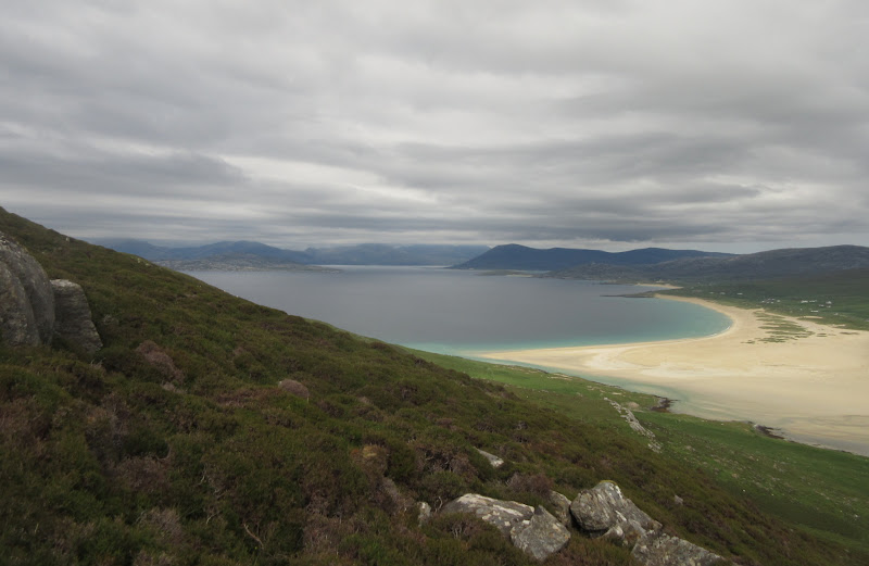
Up the west coast of South Harris:
Beinn Dubh:
This is the perfect spot for a long sit and perhaps a descent down the NW flanks of the hill to follow the coast back. However I had promised to be back down in an hour or so, so I dropped back down again after a few minutes. I was happy though - while an easy hill, this had been on my wishlist for some time, and only if the weather was reasonable. Despite an indifferent weather forecast, I had succeeded.
Northton:
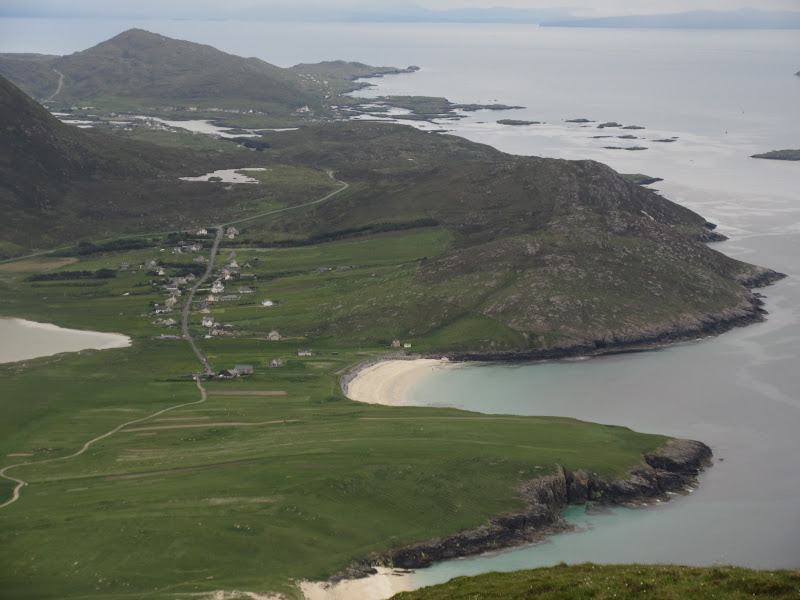
There was actually a path to the summit - it just went a little further south. I jogged back down it with great views continuing all the way down. A slight detour on the way back to the car took me past a couple of other small beaches.
More machair above Traigh na Cleabhaig:
Classic Hebrides:
Ceapabhal and Traigh na Cleabhaig:
Traigh na h-Uidhe:
Back at the car, we took a leisurely drive north, stopping off at Traigh Noisaboist. A truly fabulous Sunday

North Harris Hills – Tiorga Mor, Oreval and Uisgneabhal Mhor – from Traigh Niosaboist:
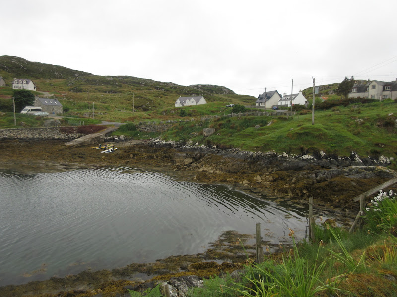
Our accommodation at Drinishader – right of centre:
All in all a great meet. Felt like I did quite a lot but didn't get home completely knackered like on most meets. Great accommodation and good to see people again - cheers Robin for organising
.
