free to be able to rate and comment on reports (as well as access 1:25000 mapping).
Sub 2000 Marilyns: Greabhal, Beinn Mhor, Beinn Sgiathan.
Date: 19/07/2016.
Distance: 3.5km + 2km + 1.5km.
Ascent: 340m + 160m + 125m.
1 hour 20 minutes + 30 minutes + 30 minutes.
Weather: Tropical
There is probably more driving than walking in this report, but it still managed to be one of the most spectacular days of the year. I had a site visit to do on Barra, and there was a difficult choice between heading down to Glasgow to fly out with my work colleagues (who wouldn't want to take that flight?) or drive down and meet them there. Since driving allowed me to throw in a day of leave, it was the winner. Since I thought it would be useful to check in with our client in his office in Stornoway, a road trip of the length of the Hebrides was suddenly presenting itself

.
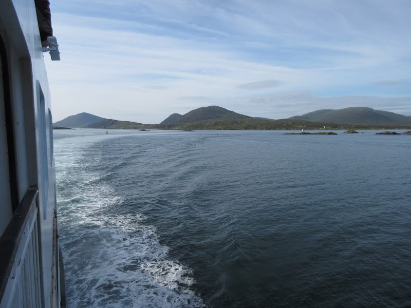
Great trip over on the morning ferry - the whole time the weather was giving the impression that it might break during the day. At one point I watched a pod of dolphins jumping alongside us. Sadly the only photo I got was a bit of a 'where's wally' effort

.
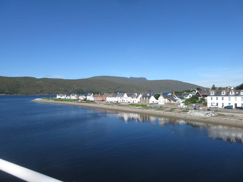
Leaving Ullapool:
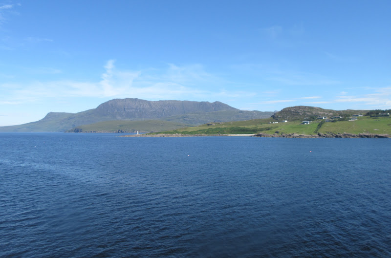
Beinn Mor Coigach:
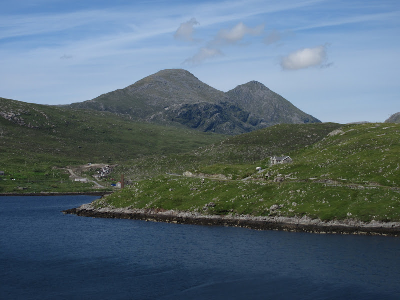
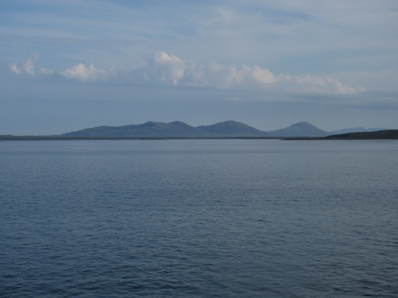
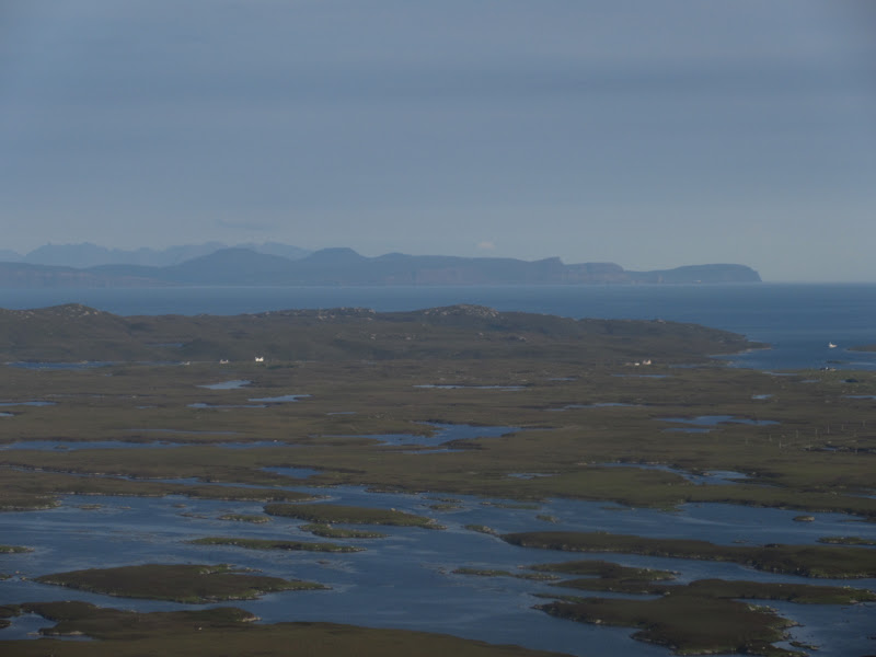
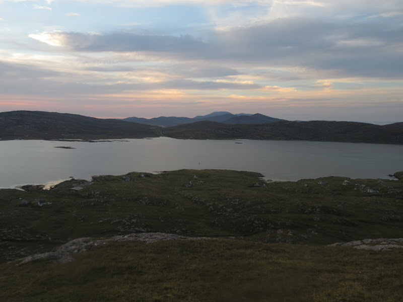
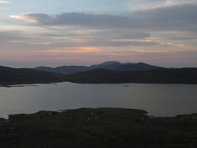
Pairc and Harris Hills – Clisham just left of centre:

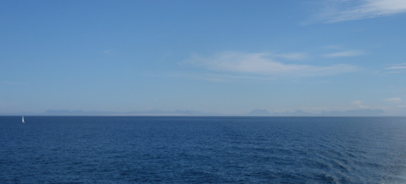
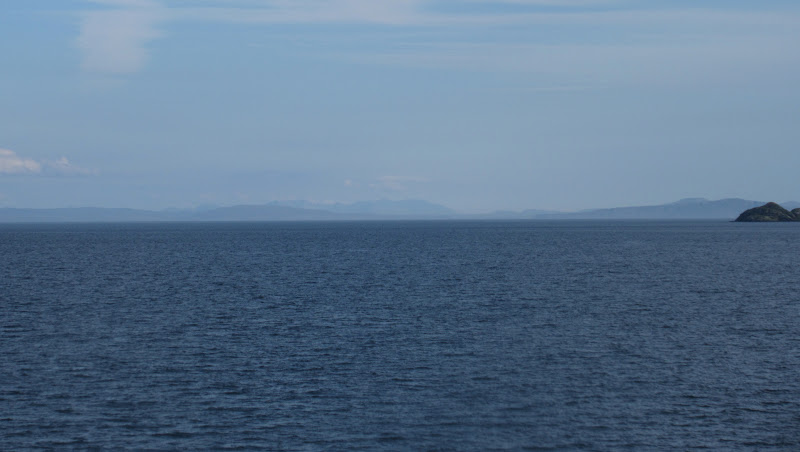
Mainland in the distance:
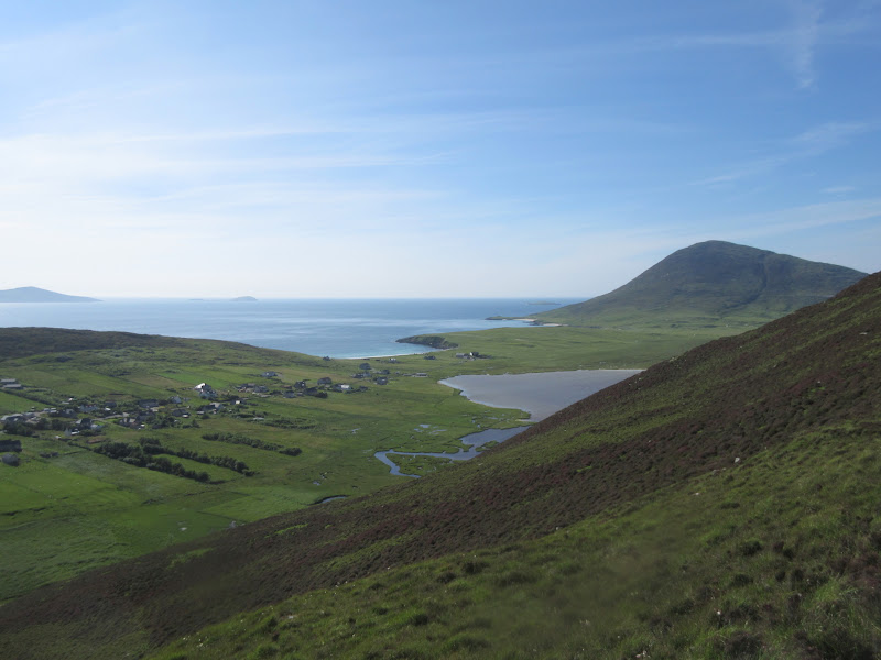
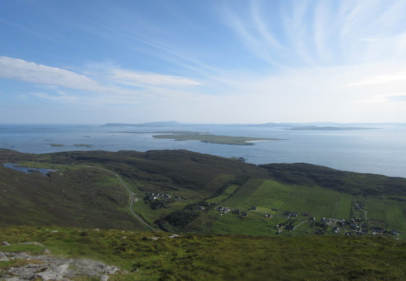
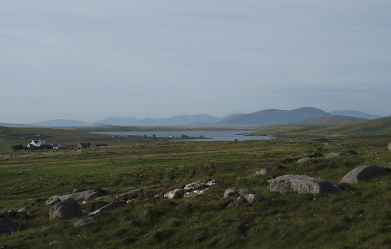
By the time I had been to a couple of shops and the water board offices, time was moving on faster than I would have liked. I also had to drop in at Drinishader south of Tarbert to pick up some stuff I'd accidentally left there on the meet last month. Being booked onto the 6:30pm Sound of Harris ferry meant I didn't have a great deal of time to walk anywhere - at one point I'd been considering a quickie up Clisham to make up for the previous visit.
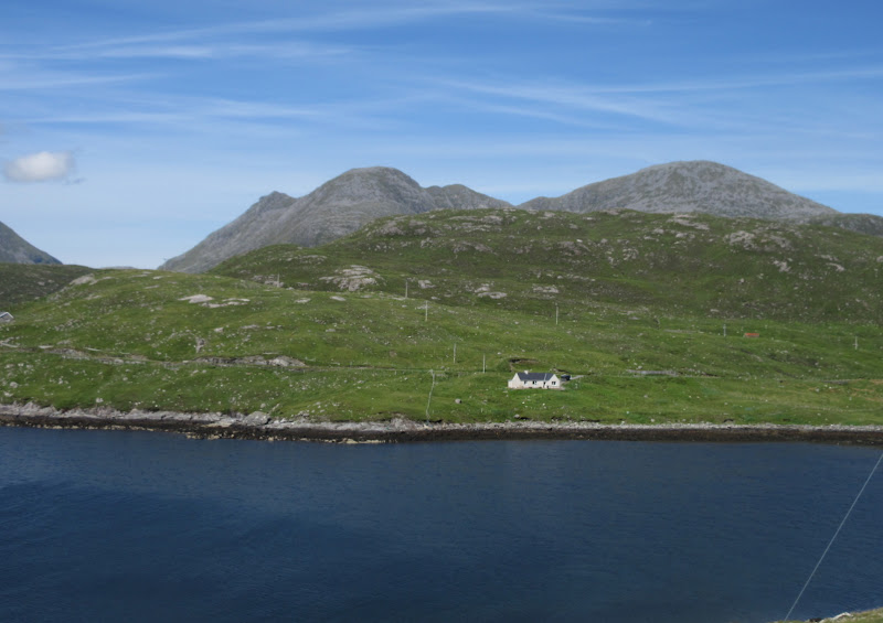
Harris hills – Uisgneabhal Mor and Teileasabhal – from Ardhasaig:
Mulla bho-dheas and Clisham from Ardhasaig:
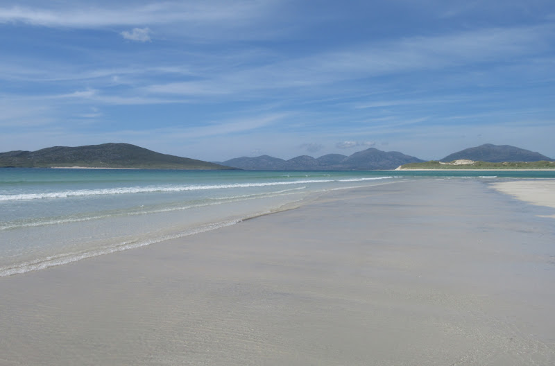
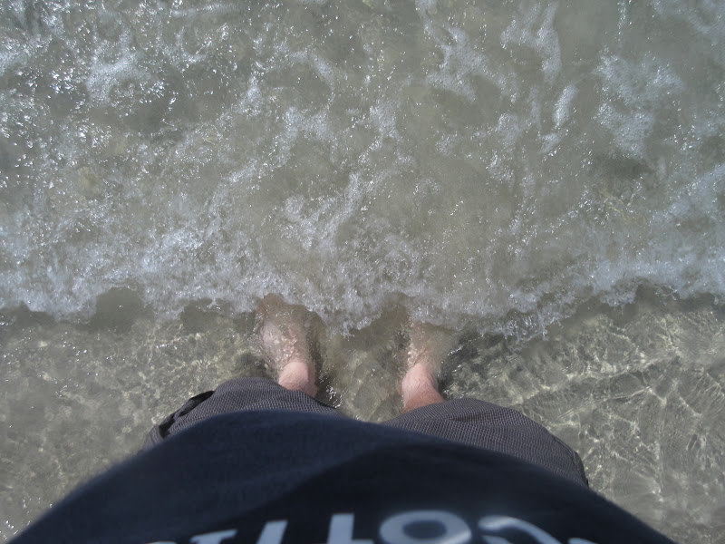
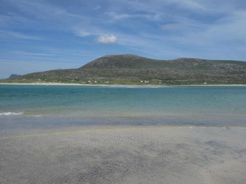
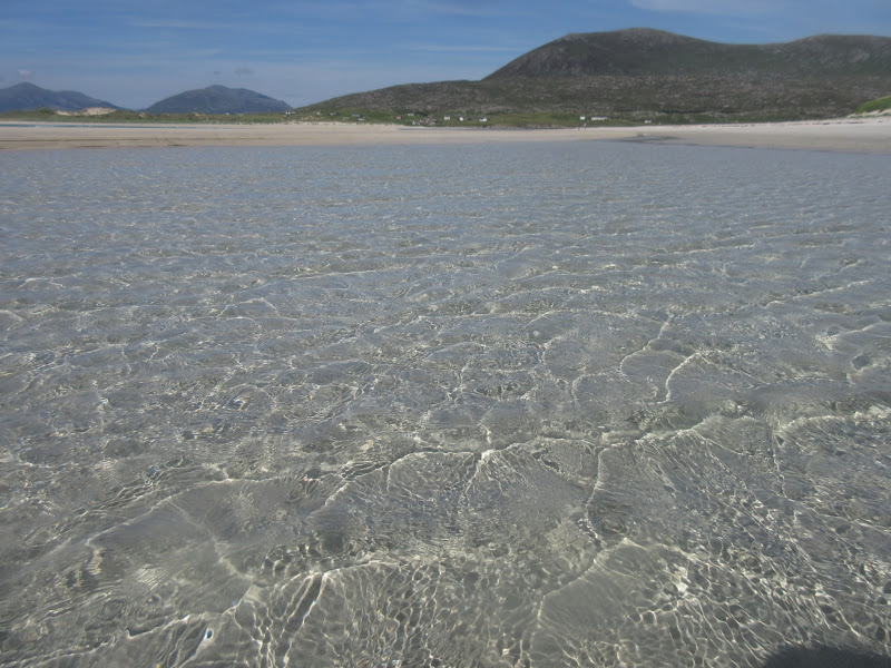
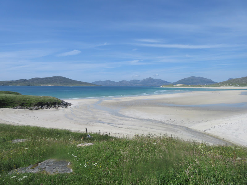
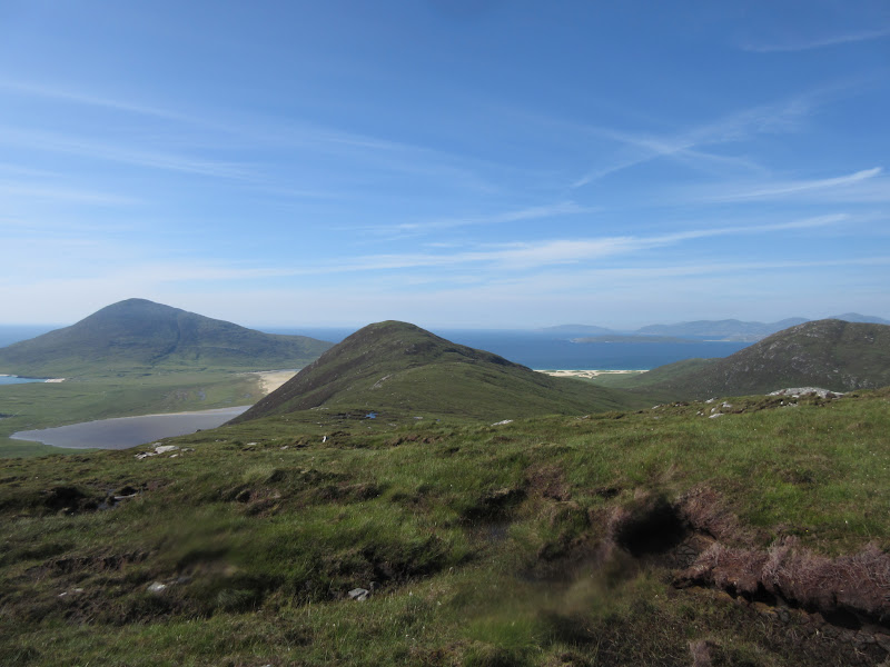
By the time I got to the spectacular NW coastline of South Harris, the beaches were too much of an opportunity to miss. How often is it warm enough to go for a paddle in the sea out here? Never when I'm here, that's for sure! So I stopped by the old school at Seilebost for a wander. Glad I did!
Seilebost beach:
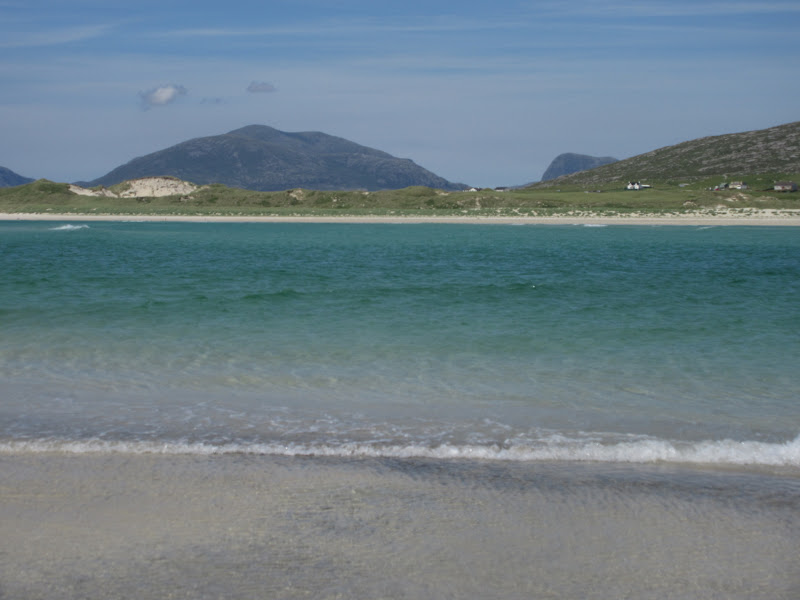
…with Sron Scourst and Oireabhal in the background:
Luskentyre and Beinn Dubh:
Taransay in the background:
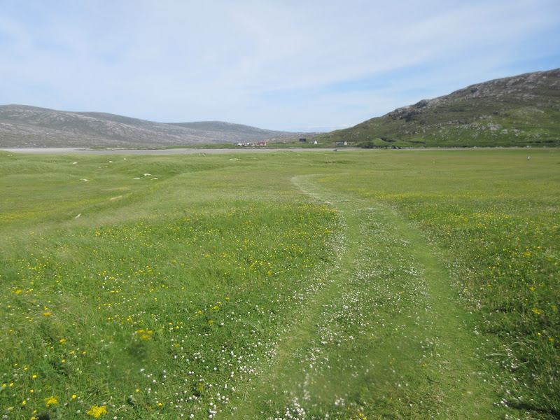
Machair heading back to Seilibost:
Last look from the road south:
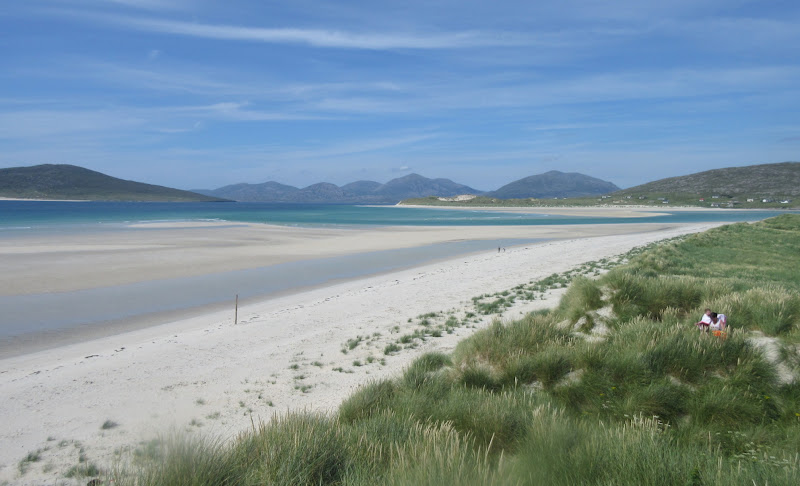
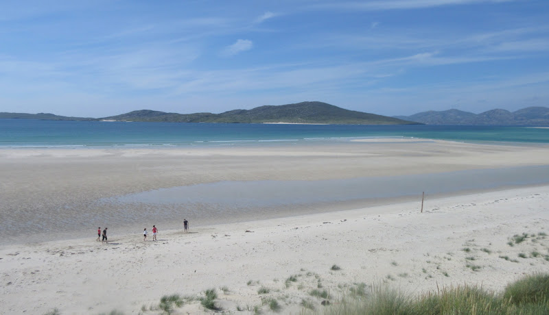
There were quite a few folk on Seilebost beach, but nothing compared to Traigh Mhor at Borve. There were cars parked for 1/4 of a mile along the verge here. Bet that doesn't happen often.
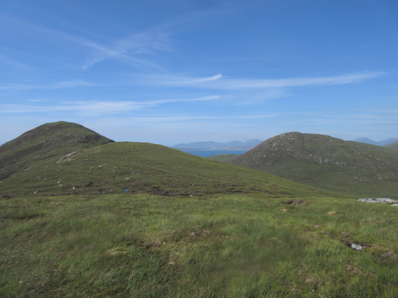
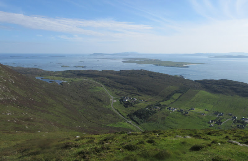
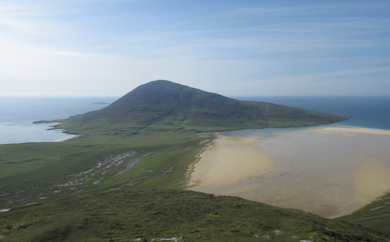
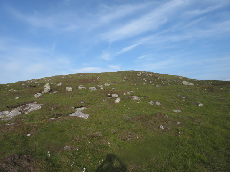
I still had some time in hand for a small hill - which one? I briefly toyed with the idea of going back up Ceapabhal, which I'd been up last month on a less sunny day. In the end, I decided that the adjacent Greabhal was quicker and would probably have views that complemented Ceapbhal nicely. I parked by a sheep fold a short distance north of the Northton junction and went straight up. Steep grass lower down and deep heather higher up - I followed a burn for a bit before striking more directly for my summit.
Starting up Greabhal from Northton:
Northton and Ceapabhal:
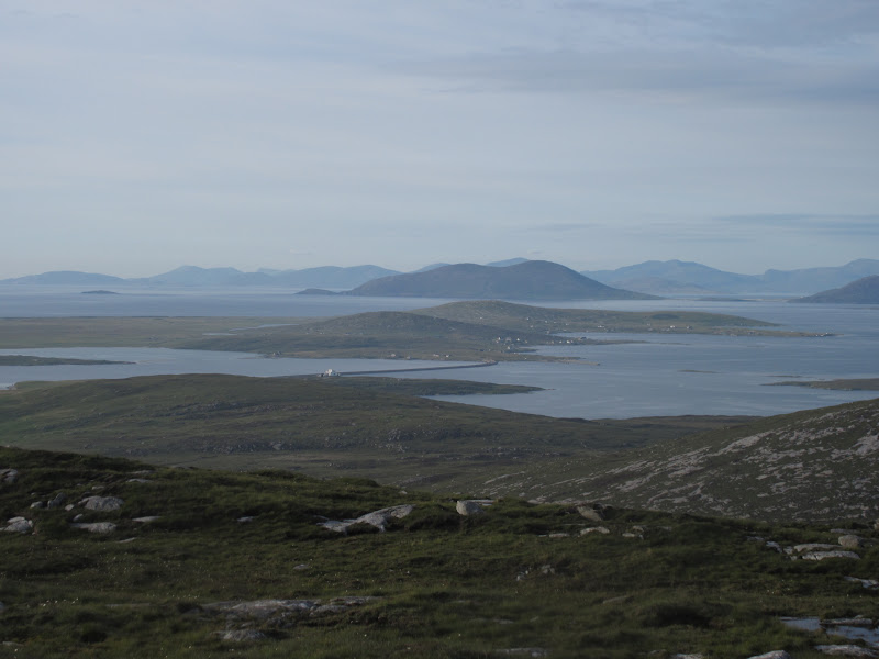
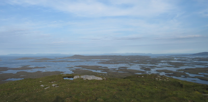
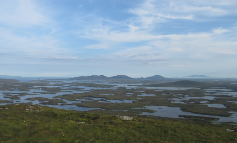
Once on the ridge the heather was shorter, but it was still a little haggy in places. Not a long pull to the top of Greabhal though, which had spectacular views of Leverburgh (definitely somewhere that looks better from a distance!). The great thing about these islands is that you don't have to go up very much for great views - this was my highest summit of the trip by quite a way!
Maodal and Bolabhal Sgarasta:
Ceapabhal and Maodal:
Leverburgh from Greabhal:
…with Roineabhal as well:
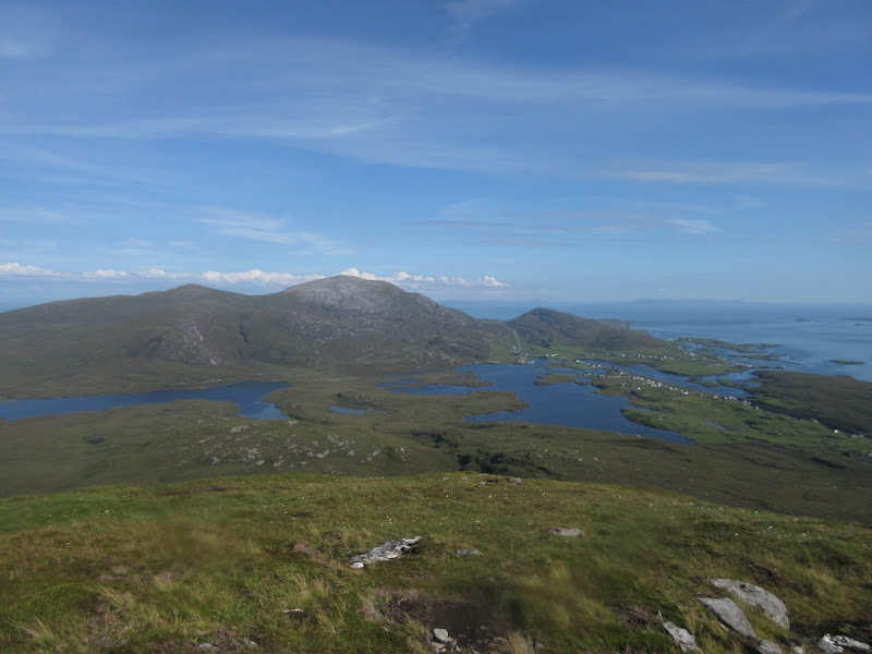
If views from Greabhal were good, there was one thing blocking Ceapabhal: the slightly lower summit of Maodal. I thought I'd probably have time for this as well, so long as I was back at the car by 6pm. So it was back down the ridge and up the opposing one on Maodal. I hoped for a short break at the summit, but I was robbed of this by receiving a work call while back on the col. The only reason I'd been so liberal with my mobile number back at work was that I was quite confident there would be no signal anywhere!
Looking back to Greabhal from Maodal:

Well Maodal was undoubtedly the better viewpoint, even if I didn't get to enjoy it for as long as I would have liked. Could I get back down to the car in 10 minutes now? Yes, fortunately!
Northton with Ensay, Killegray and North Uist in the background:
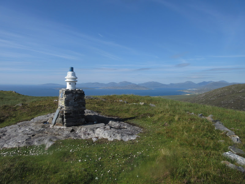
Memorial on the summit of Maodal:
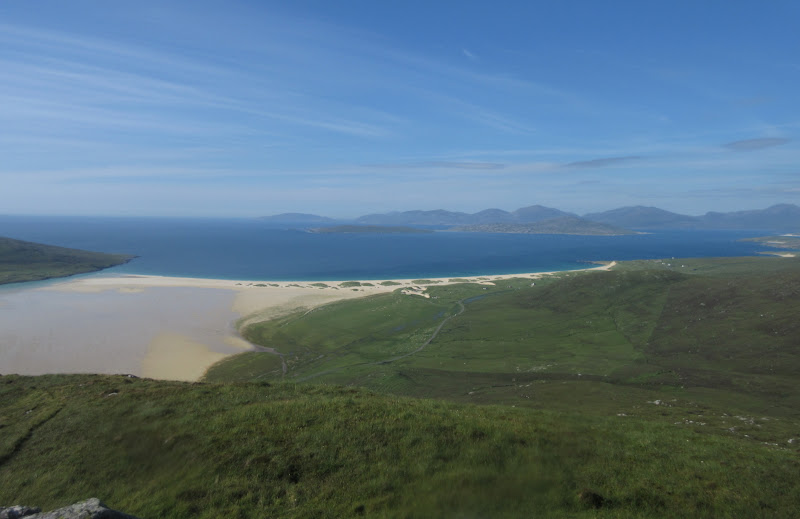
Sgarasta beach and North Harris:
…and up the coast:

Harris hills:
Ceapabhal:
Looking to North Uist:
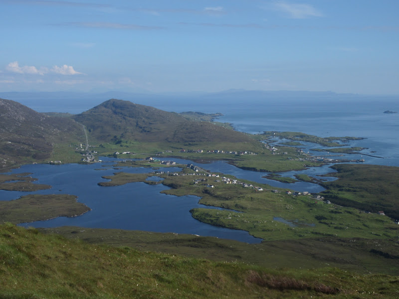
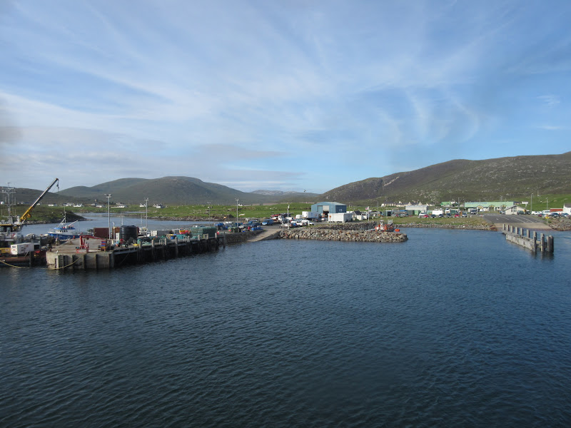
Leverburgh is much scruffier close up, but the restaurant on the ferry slipway looks nice. I had hoped to make use of the Butty Van nearby for my dinner, but it had shut hours earlier. Fortunately the restaurant was doing takeaway at that point, although the next group to come in after me were refused a sit in or takeaway as the chef was too busy. Phew - just in time!
Leaving Leverburgh:
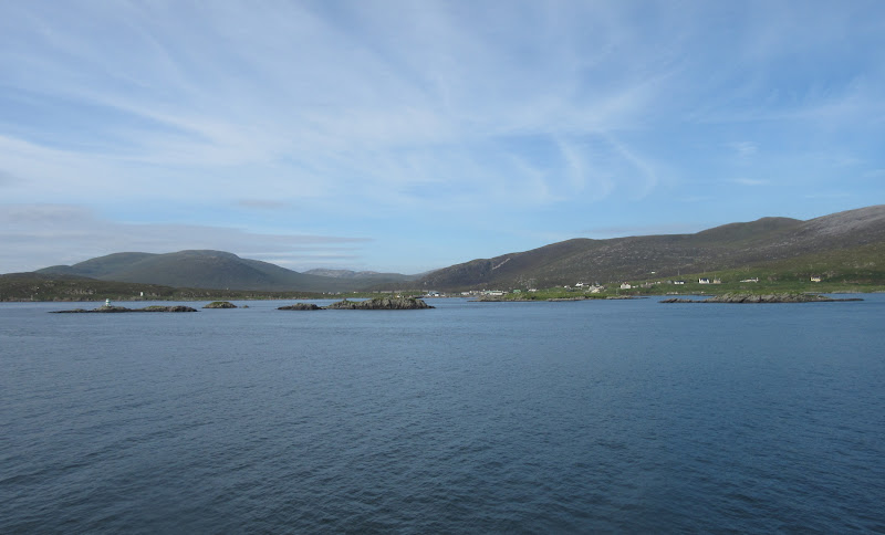
Then a great journey over to Berneray on the ferry - The Black Cuillin on Skye visible over to the SE and loads of interesting islands and rocks.
Hill I was up earlier in the centre:
Black Cuillin:
North Lee, South Lee and Eabhal on North Uist:
My next deadline was that I was booked onto the first Sound of Barra ferry the next morning. I reckoned there were still a couple more things that could be done this evening...like Beinn Mhor on the north end of North Uist. I was parked up by a gate on the high point of the road within 5 minutes of leaving the ferry (a mere 17m above sea level, but not to be sniffed at on a hill that is only 190m high).
Heading up Beinn Mhor:
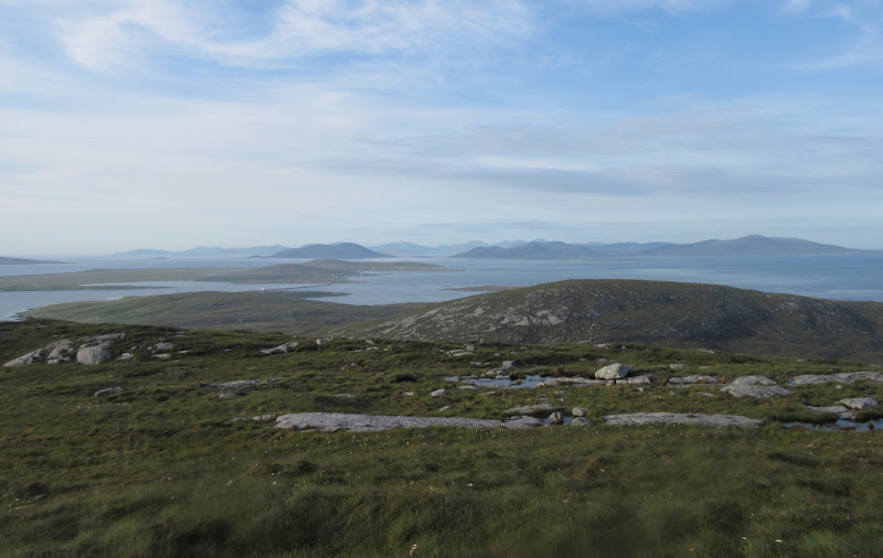
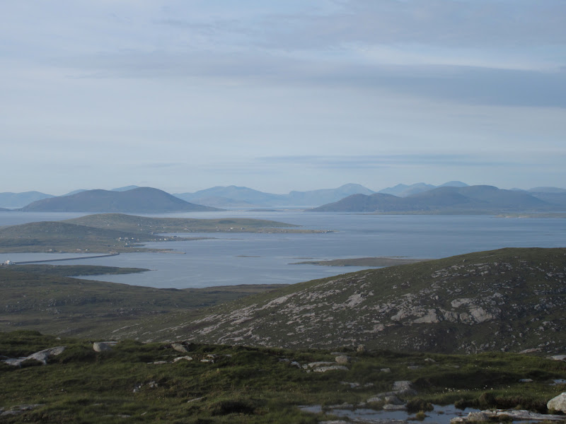
This was an easy walk over heathery grass - not too bad underfoot and not very steep. I had left the ferry just after 7:30pm and I was on the summit before 8. Despite being less shapely than the Harris hills I had left, views were just as good - particularly back to Berneray and Harris, and also over to the rough west coast hills of North Uist.
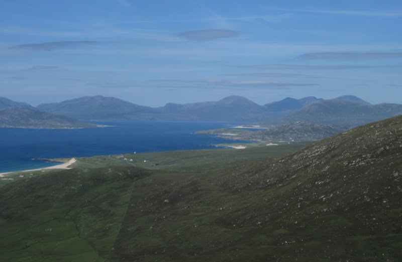
Looking back to South Harris:
North Uist west coast hills (and Beinn Mhor of South Uist to the right) from Beinn Mhor:
Berneray and South Harris:
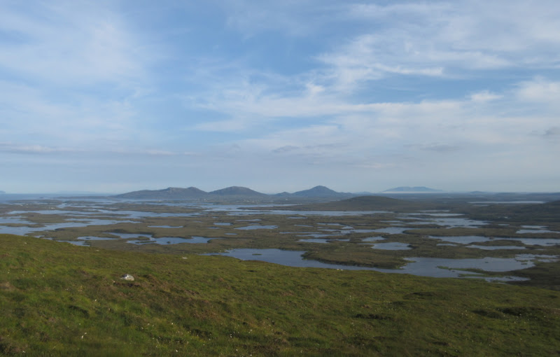
I think I spent most of my time looking at the endless lochans between me and Lochmaddy - you can just make out the telephone line following the road out to Cheesebay in the middle of it all and you are left wondering if there could really be a road there. Interestingly the sea inlet immetiately to the south had a newish-looking bridge over the narrowest part. You could descend that side of the hill and sample lochan country if you wanted, coming out on the Cheesebay road. Instead I just dropped back to the car after 15 minutes or so, grateful that the weather was still holding.
Watery North Uist with Skye beyond:
North + South Lee and Eabhal from Beinn Mhor:
North from Beinn Mhor:
Crags of the Duirinish Peninsula of Skye, with Crogearraidh na Thobha in front:
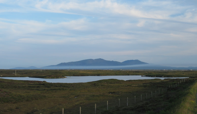
In fact it was quite fortunate that I was travelling down through the Uists at this time of the evening - the going was very fast. There are a number of good bits of road, but in between, even the single track roads are quite fast if you don't have to keep giving way. The sky was greying over further south, but the high hills of South Uist looked spectacular floating above a thin layer of low cloud.
Hecla and Beinn Mhor from near Cairnish:
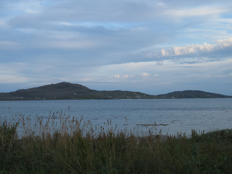
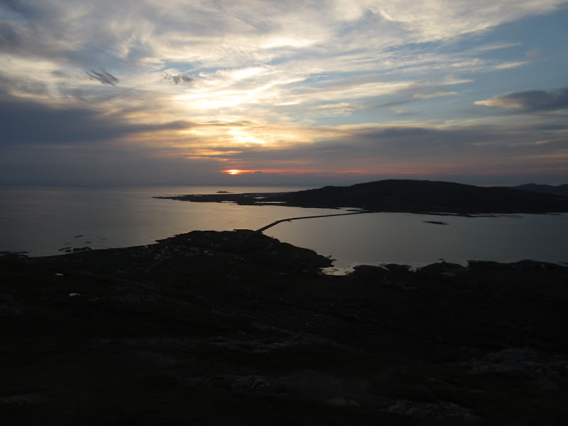
I had decided to make tomorrow easy for myself, so decided I would camp somewhere on Eriskay. Depending on arrival time, there was still Beinn Sgiathan or last orders at Am Politician to look forward to - which would it be?
Eriskay from East Kilbride(!):
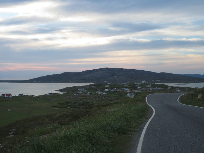
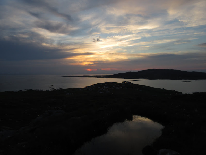
The roads were so clear that I was able to get from Berneray to Eriskay in almost exactly an hour - no hope of that during the day. Maybe I'd have time for sunset on Beinn Sgiathan and a pint?
The village, Eriskay:
I parked at the high point of the road over to the ferry terminal (a measly 50m above sea level, but more than 25% of the way up the hill

). It was now approaching 9:30pm but there was plenty of light.
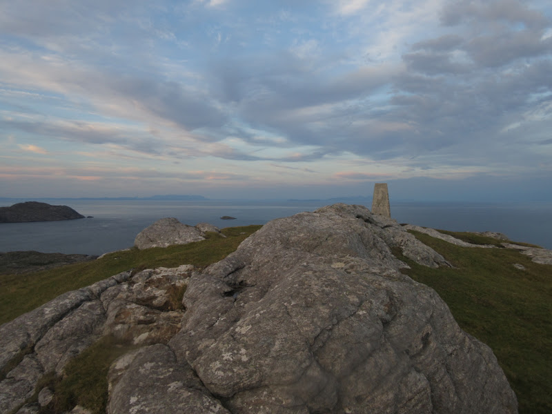
Beinn Sgiathan:
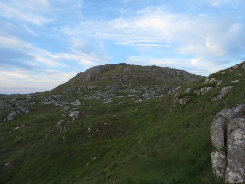
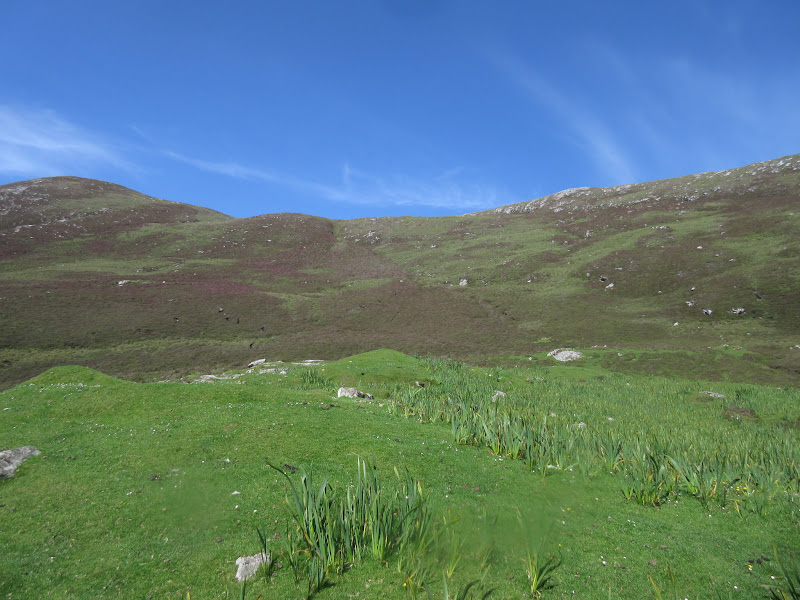
There are sketchy paths in various directions over the hillside, but they aren't really needed - this is mostly lovely grassy terrain with lots of gneiss outcrops and slabs to stroll over. Just before the final steepening there was a barbed wire fence to climb over, then some optional scrambling.
South to Loch Cracabhaig:
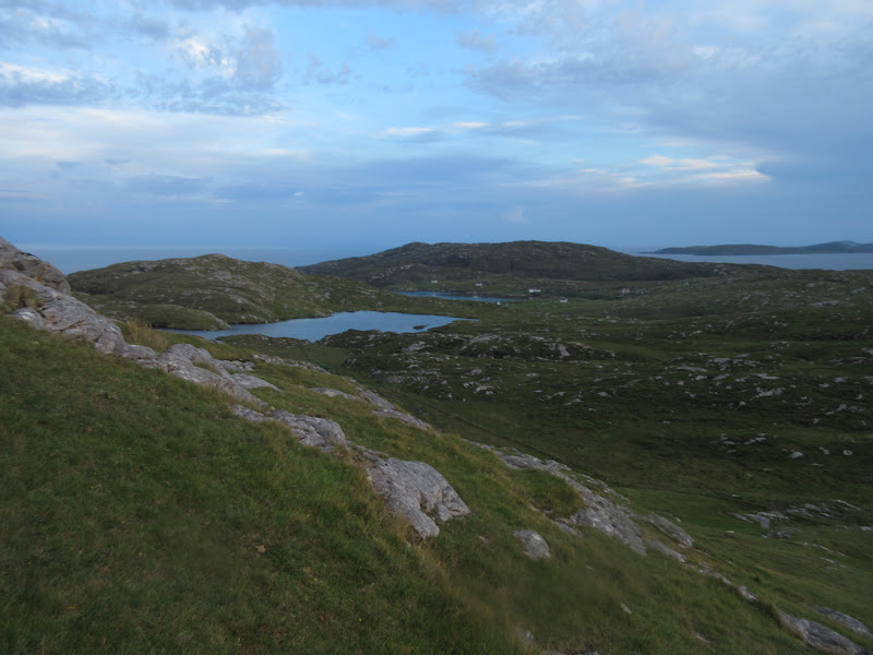
Barra:
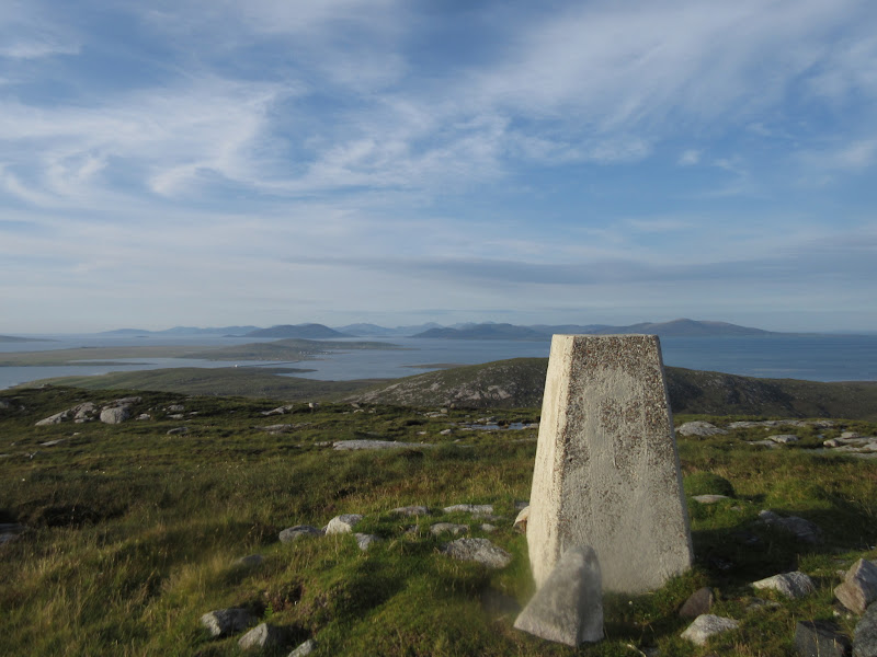
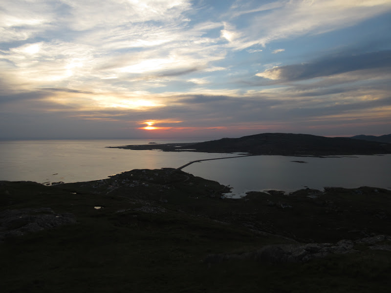
It barely took me more than 10 minutes to get to the top. I usually prefer longer walks stringing summits together rather than multi-bagging from the car, but today I was really enjoying myself. I had driven the length of Harris and the Uists in an afternoon and been up 3 hills at various points along the way, all with spectacular outlooks. Perfection!
The photos from Greabhal probably look better, but Beinn Sgiathan and Eriskay were probably my favourite part of the day. The sunset wasn't the most spectacular, but it was more than adequate, and the place I was watching it from was just perfect.
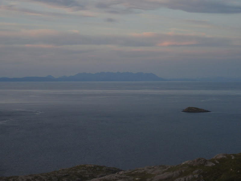
Back to South Uist from Beinn Sgiathan:
Beinn Mhor:

Summit of Beinn Sgiathain:
Rum Cuillin – be there soon!
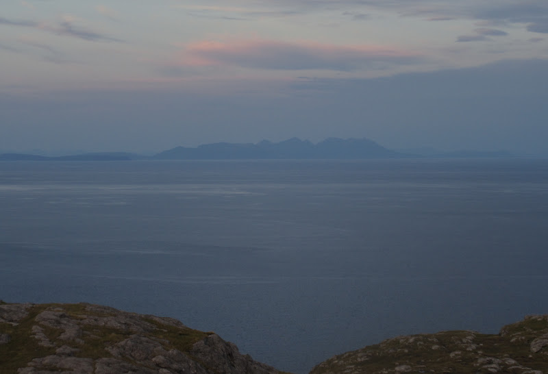
Black Cuillin of Skye:
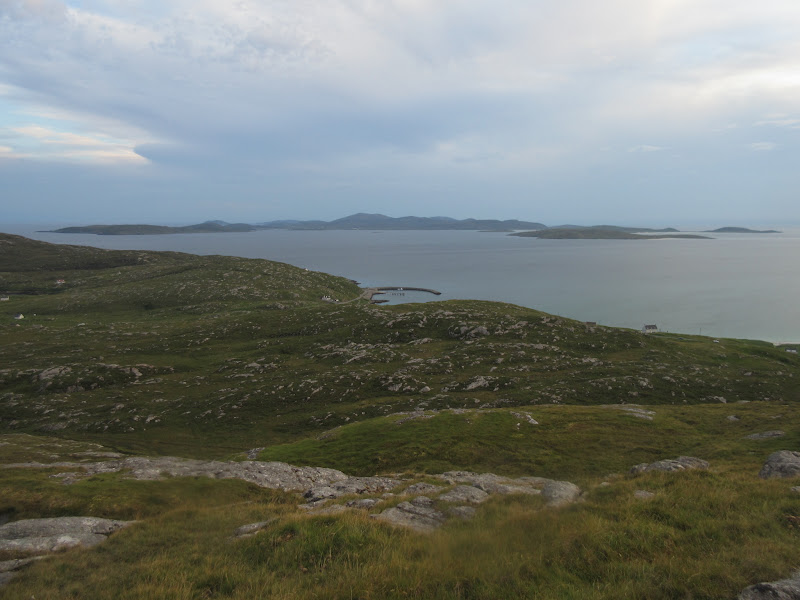
Looking east:
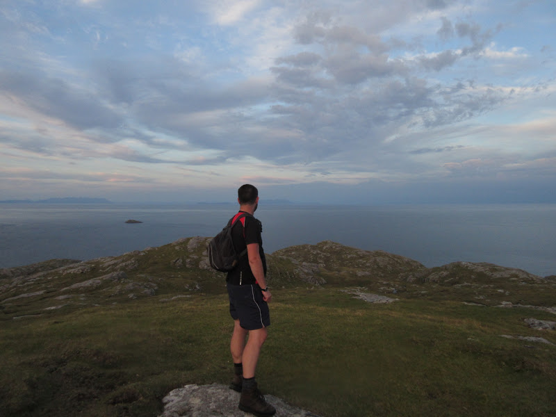
Back over the Sound of Eriskay:
I probably spent 10 or 15 minutes at the top, then another 10 getting back to the car. Time to find somewhere to put the tent up, but first, the pub! There's nothing particularly special about Am Politician (especially this late on a Tuesday night), but I'd always fancied a visit. It was practically dead but pleasant enough, with a spectacular sun room/dining area (I tend to find that the more stunning a pub location in the highlands is, the more likely it is to have no windows, as if the regulars go there to forget about where they are).
A couple of pints later, I decided I had better find a place to stop for the night. I found a patch above the beach just by the road before the ferry terminal. Not great - I prefer to camp further from people's houses, but I'd be in last thing and away again first thing, so I didn't worry about it too much.
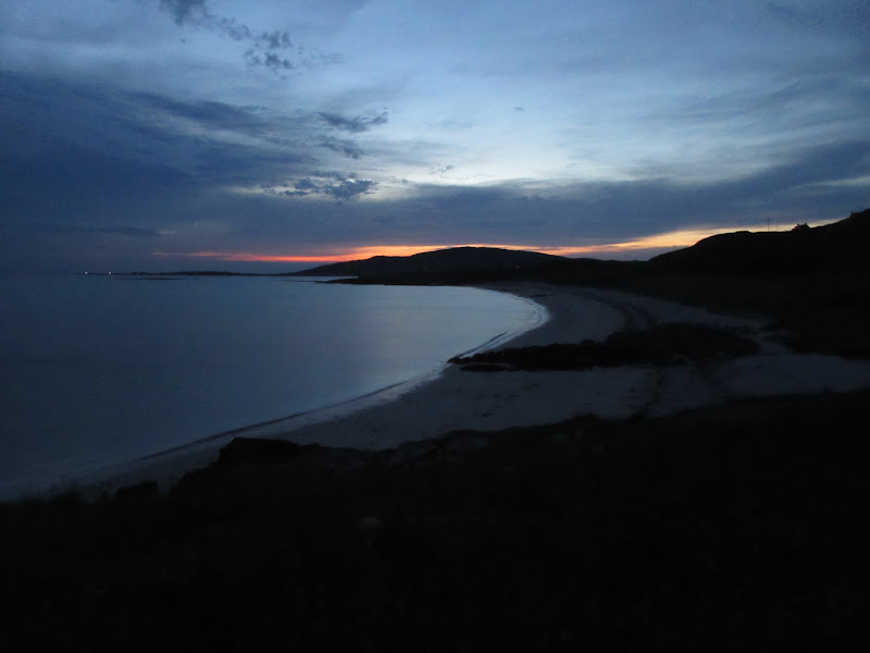
Last light from my tent (before the storm broke):
As I pitched my tent, the first rumbles of thunder began way off to the west of Barra. The rain didn't come for a couple of hours, but when it did, it was torrential, and I was glad I'd found a slight hump to put the tent on. The lightning kept me awake well into the early hours - it was very close at one point and I hoped the tent wouldn't get hit (although that seemed fairly unlikely). I wish I'd gone outside with the camera, but that was the last thing on my mind at that point!
