free to be able to rate and comment on reports (as well as access 1:25000 mapping).
So thi weekend, Dougie was working Saturday, so I packed my stuff Friday night for an early start in the morning. The weather on the way up was atrocious, but as I crossed Rannoch Moor, there was a ray of sunshine that brought a little bit of hope, even if the wipers were still on.
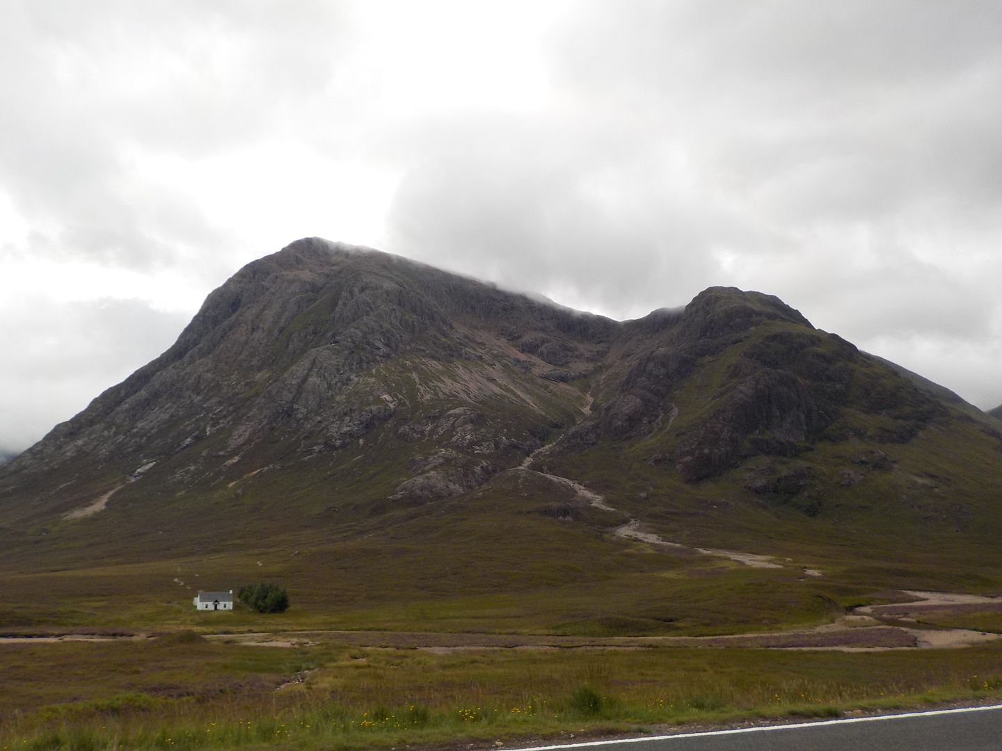
I arrived in Wee Buchaille carpark, and there was plenty of space for once. It was still damp and drizzly,and there was a nasty shower that had me reaching for the gortex, but generally the weather improved the higher I got up the glen.
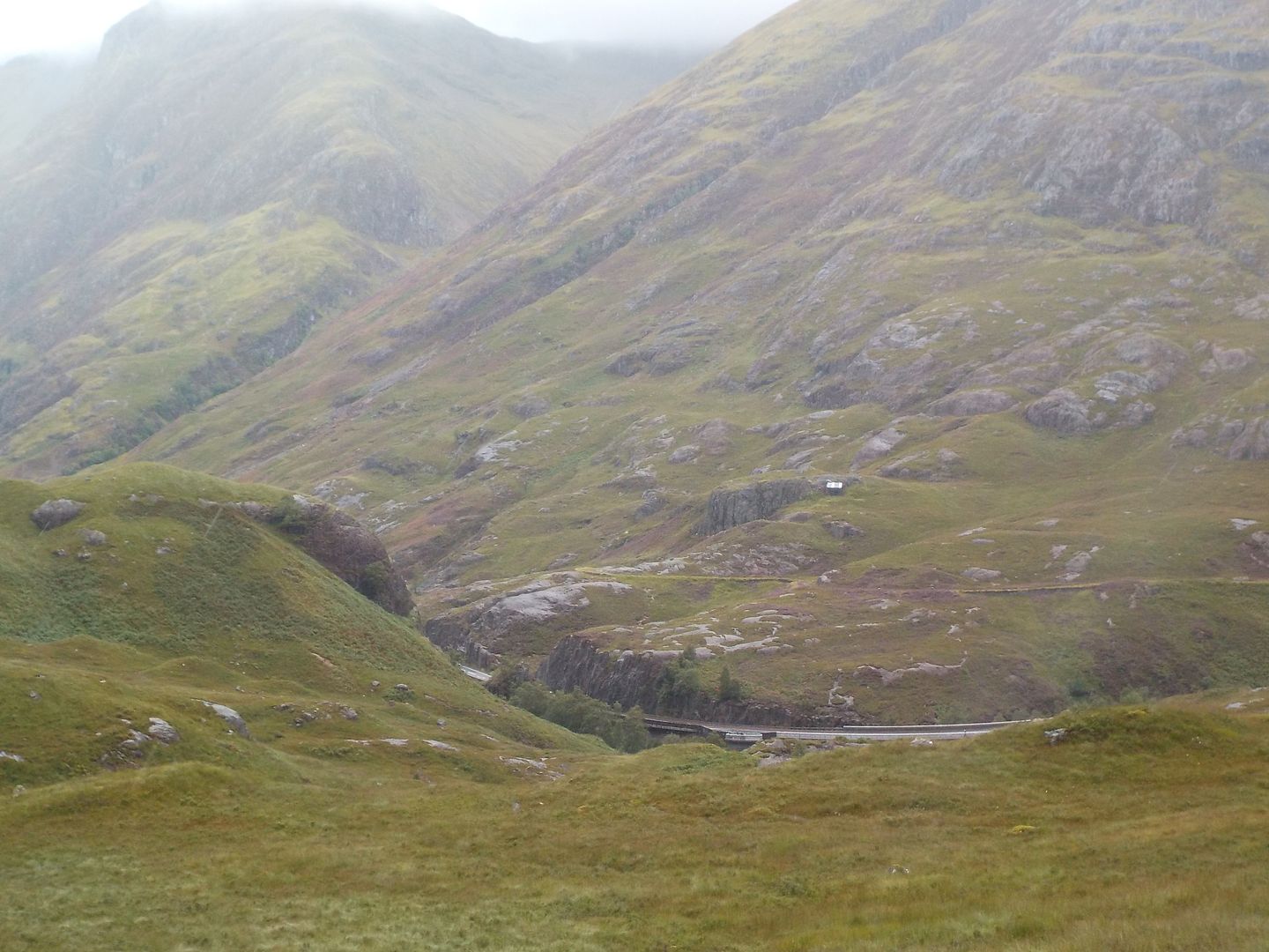
I was in the chain of folk heading up the Wee Buchaille, and was too blindly following to notice the path up the Larig Eilde branching off, but I realised my mistake quickly, so just a wee hop over the bog and I was back on track. It was really good to be out for what felt like ages.

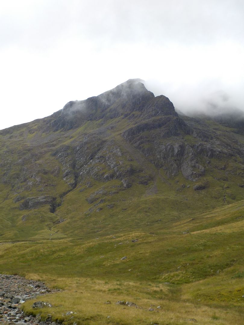
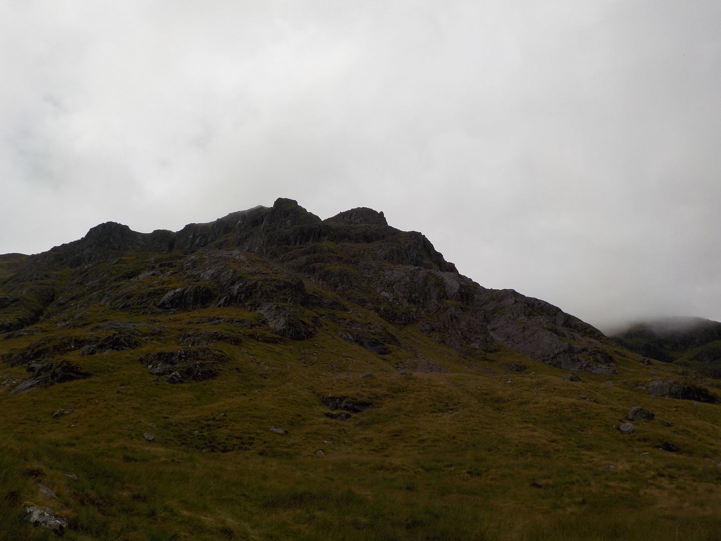
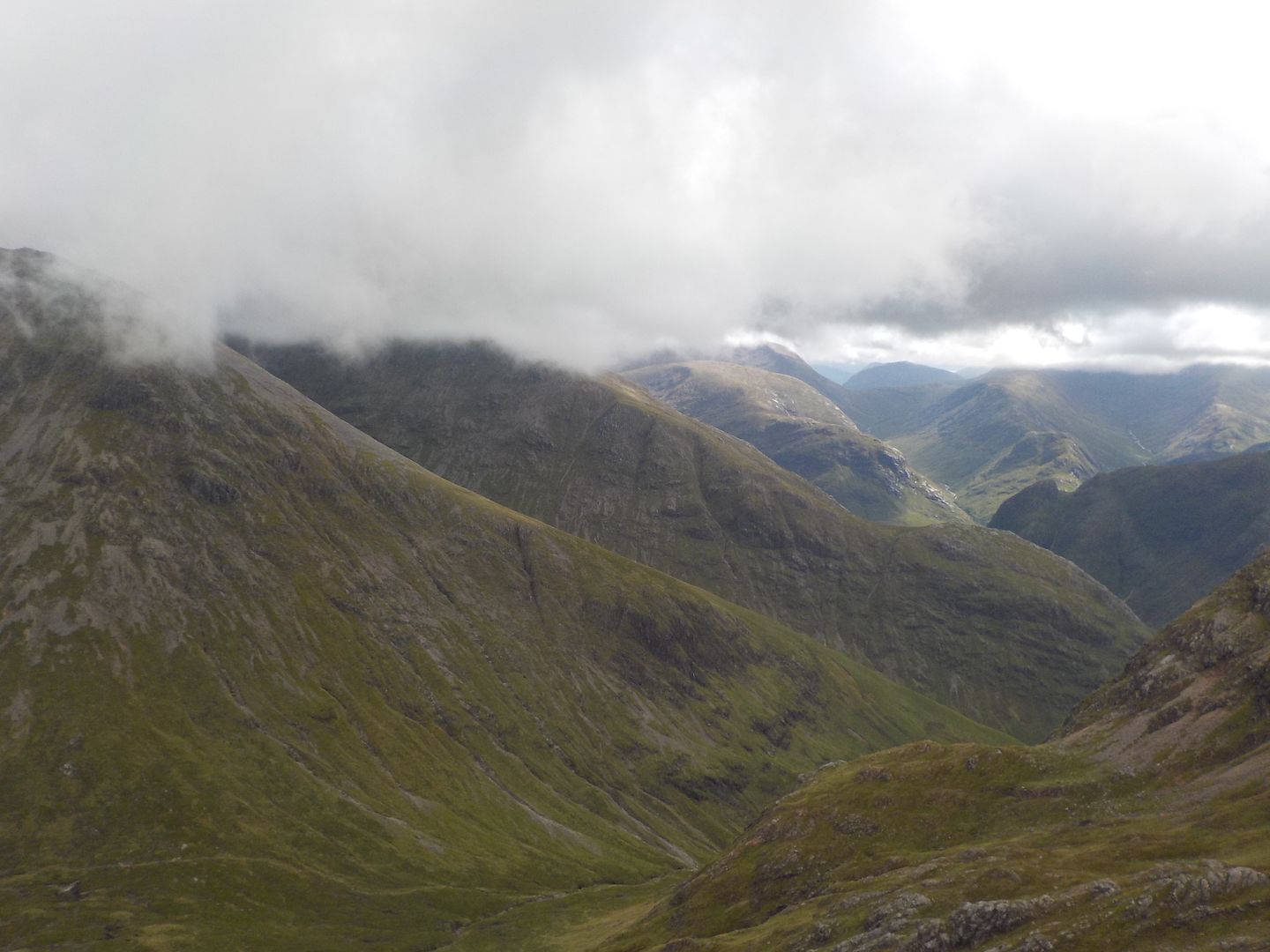
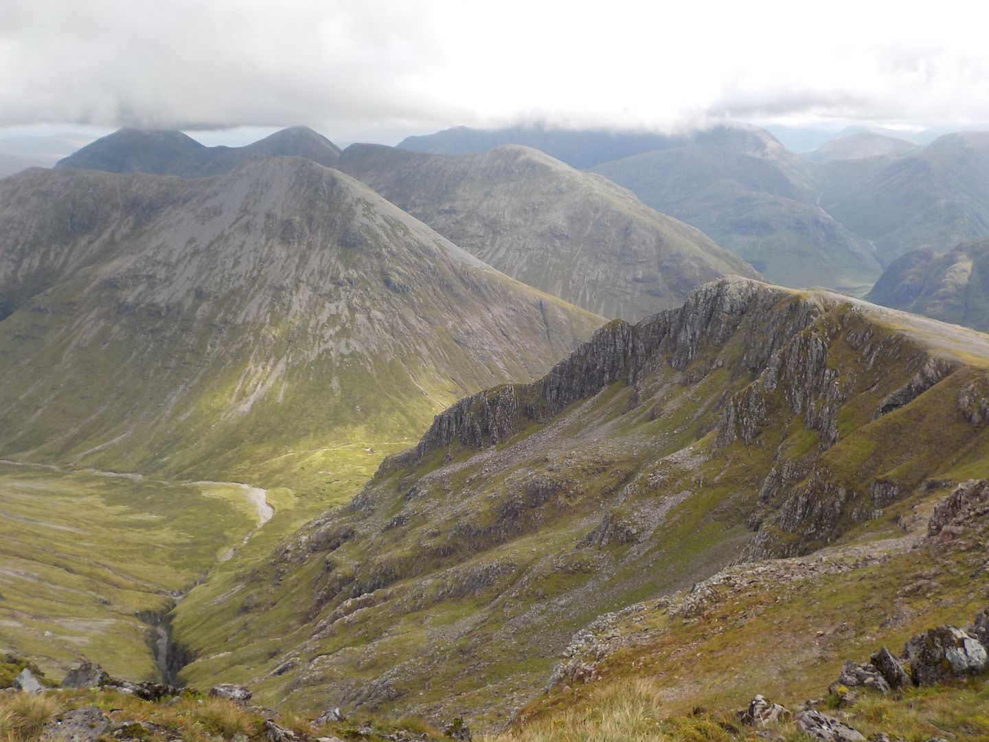
The ridge I intended ascending got into view and it looked amazing, I couldnie wait! but I forced myself to dilly dally - the longer I took, the more time there was for the rock to dry out..
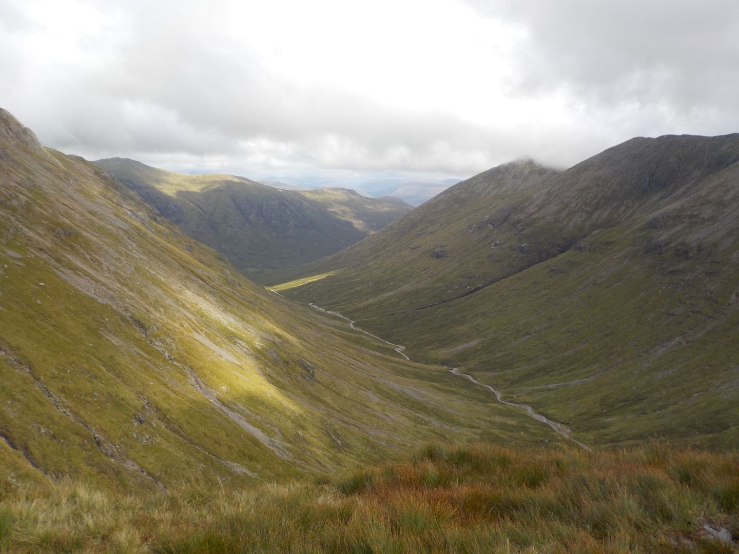
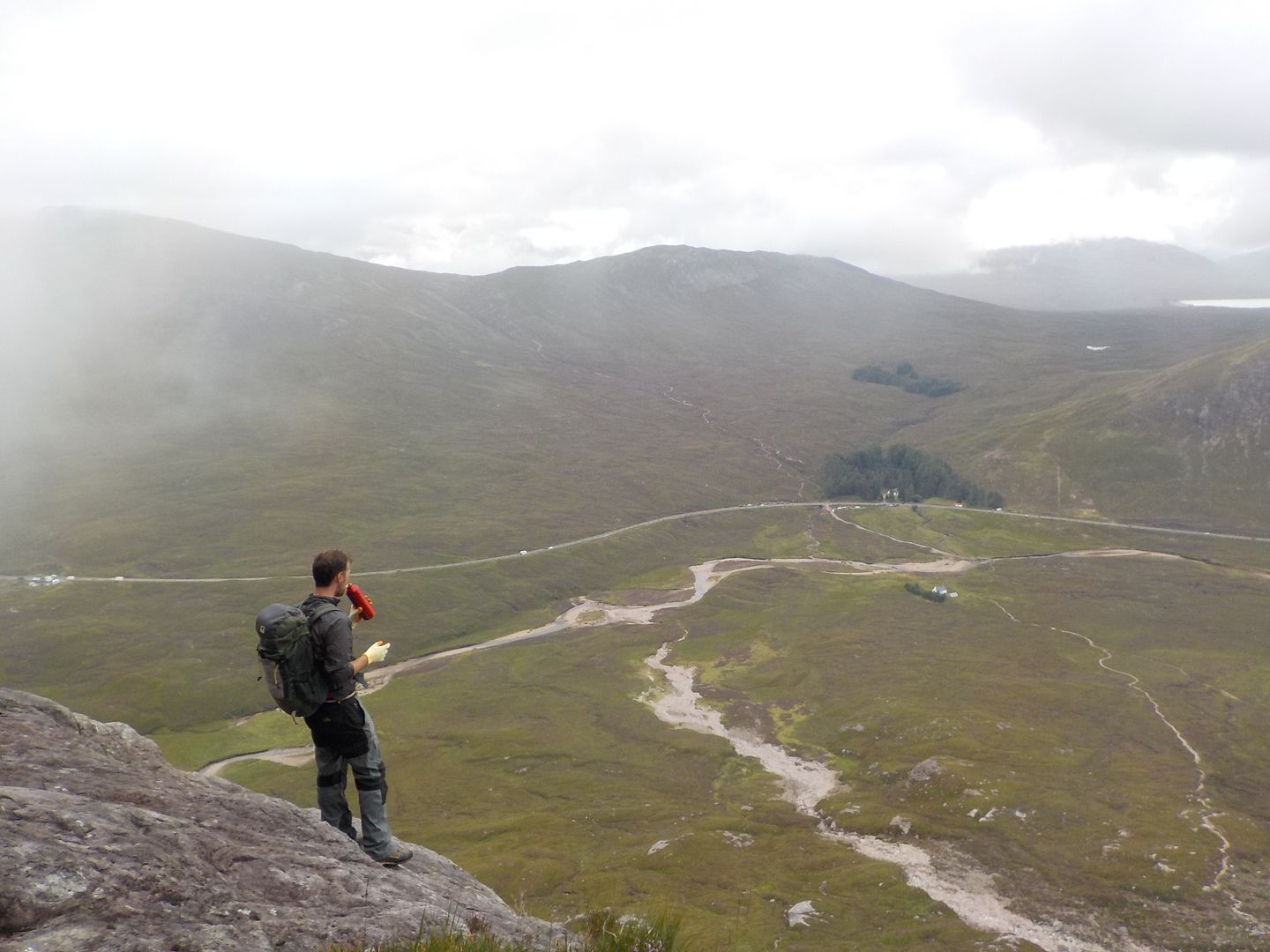
I branched off the path where it started to ascend up to the pass, and walked along the dry river bed, stopping for a snack and a contemplate on a comfy rock.
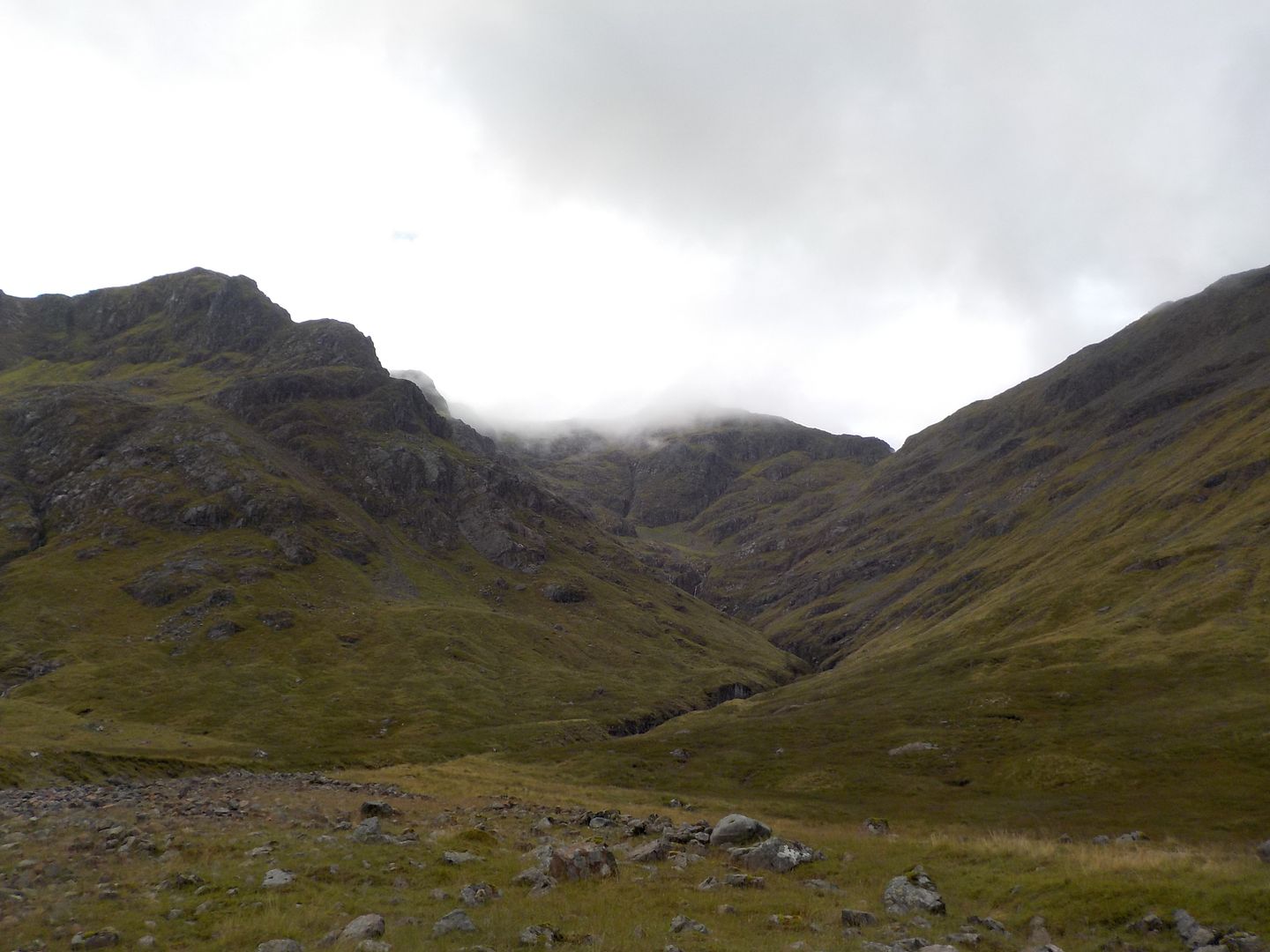
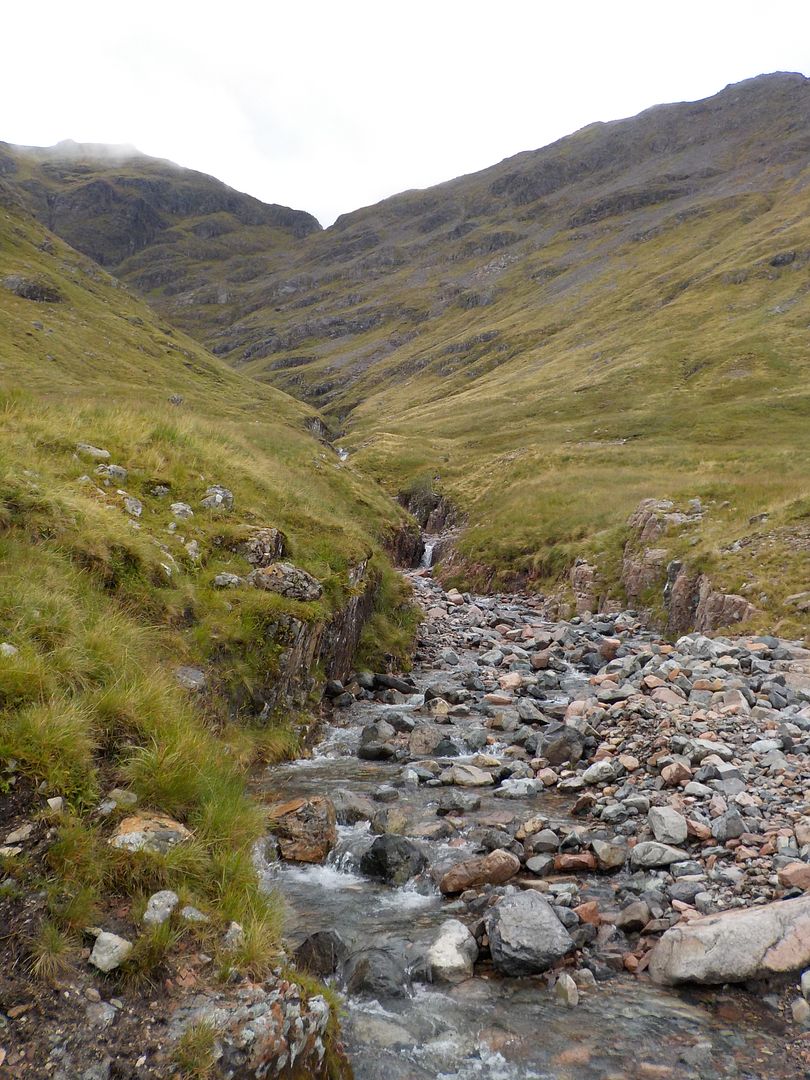
I crossed the river, and headed steeply up to the start of the route. The grass was long and wet and my feet got very squelchy

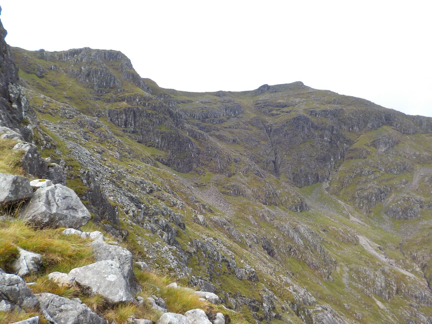
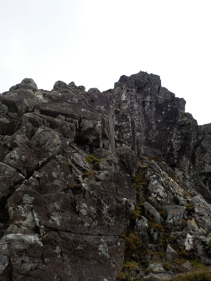
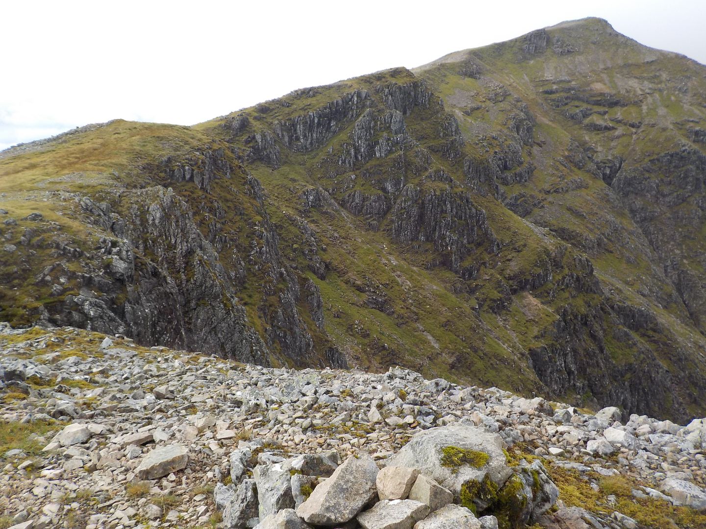
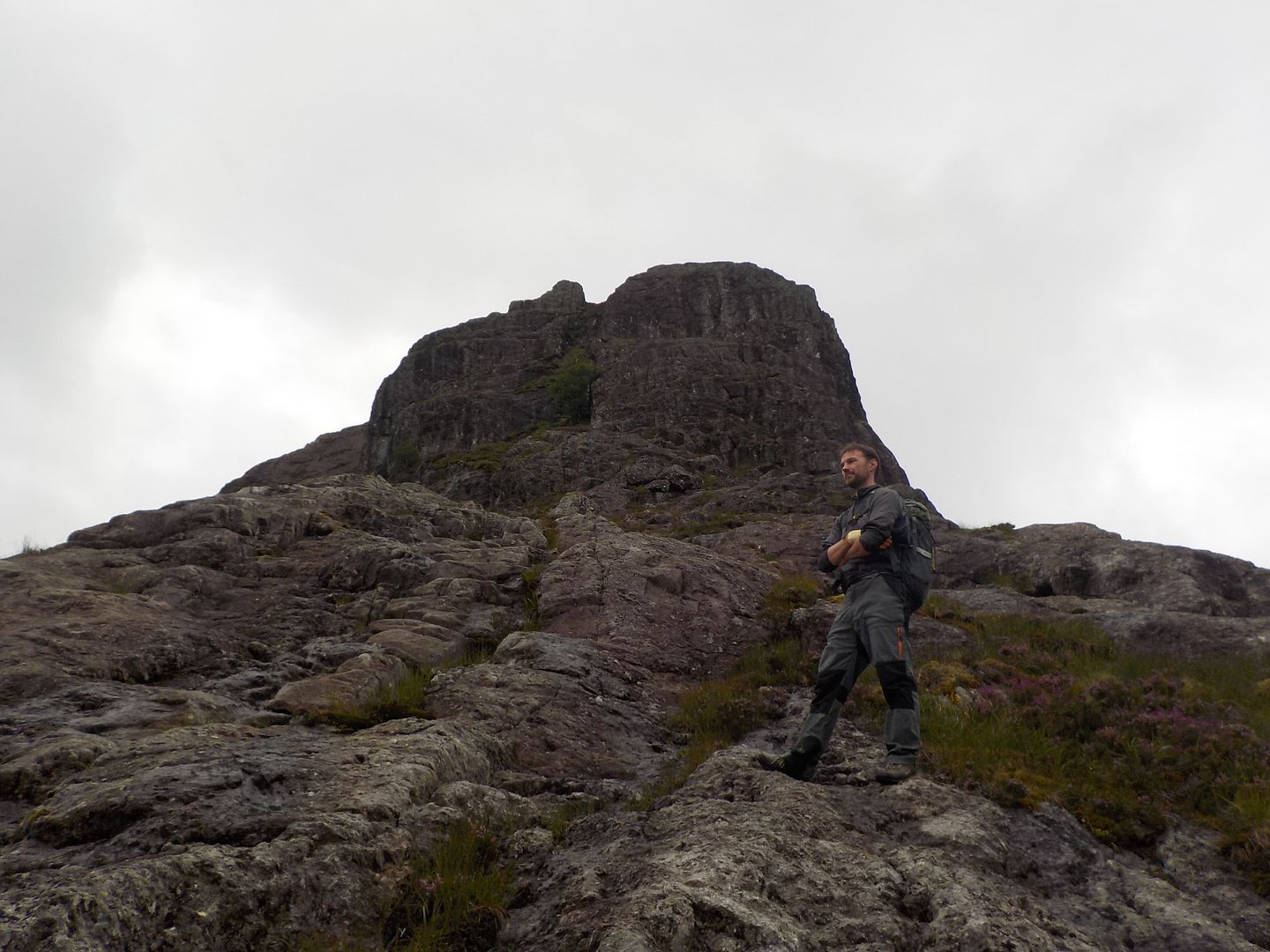
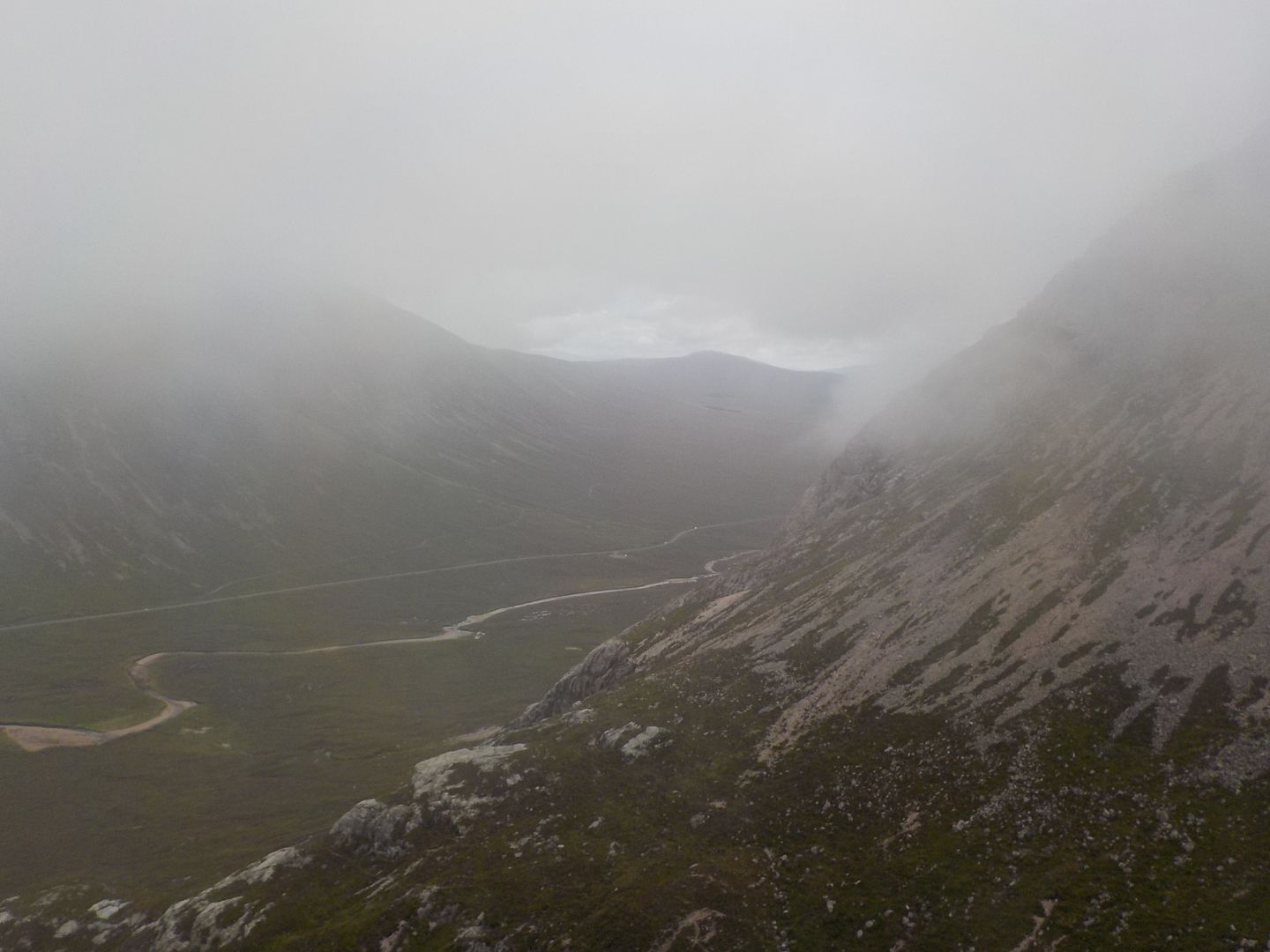
Now I was getting closer, I could start to pick out the route.
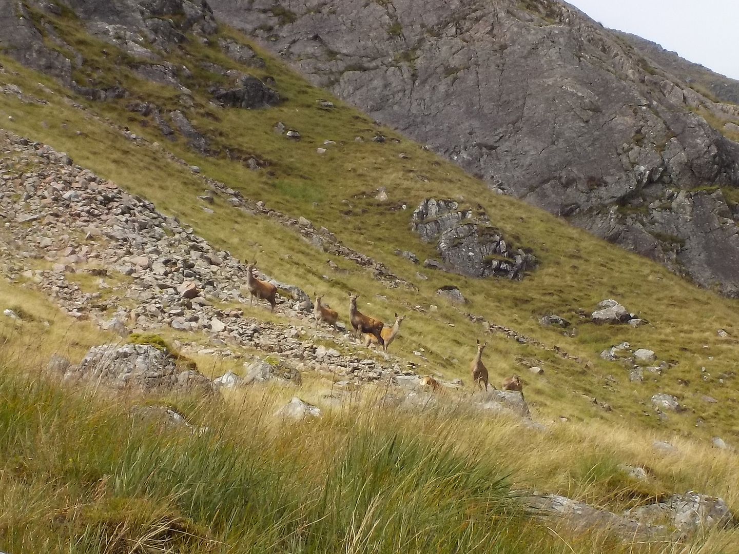
A herd of hinds with young ones watched worriedly from the side lines.
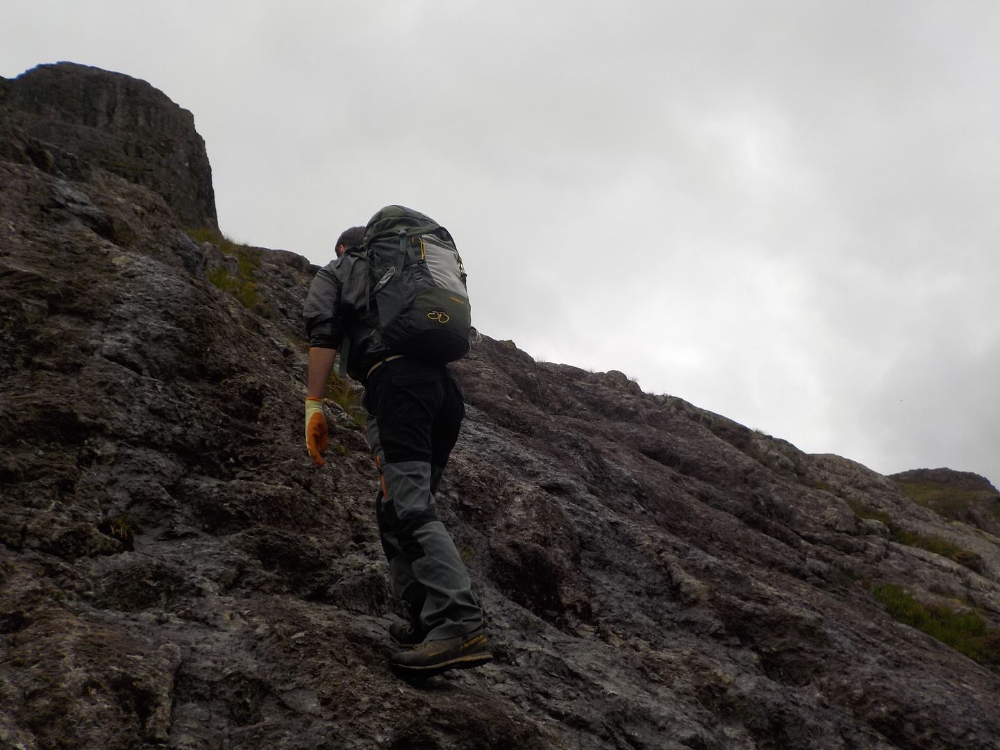
I stopped to put away my poles at the bottom and texted Dougie to let him know I got there OK. The bottom rocks were a little lichenous and therefore still quite wet, but I started up the first few blocks and found the going OK. I reached a grassy bowl, where the book says to go up the arete on the left. I started up it, but it was so greasy, I fell off.

luckily the right way just to have a tumble into some wet grass, instead of the cliff the other side, so I went up slabs on the right of the bowl instead - easier initially, but I had a very hairy damp traverse on steep slabs to get back to the crest and on route

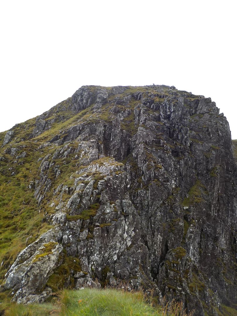
The next steepening on the ridge, was supposed to be he trickiest, the wall is quite steep, but there is an easier angled slab on the right, which has many holds, all of them absolutely tiny. Fortunately it was quite dry, so I could relax and enjoy that bit. It started off easy angled, but the last couple of moves were almost vertical. This led to some easier scrambling back to the crest and a big grassy ledge, where I sat for a break, the summit didnt look too much higher

The next steepening loomed, but there are quite easy ledges that zigzag up to the perched block.
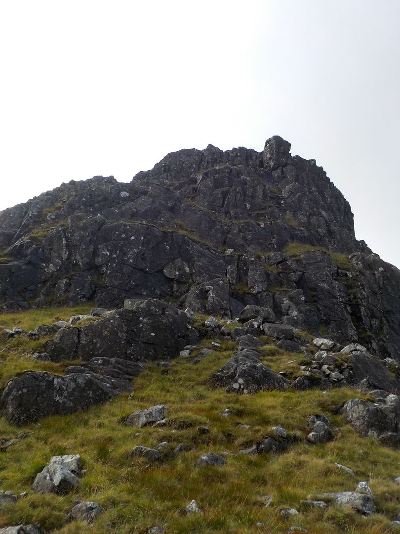
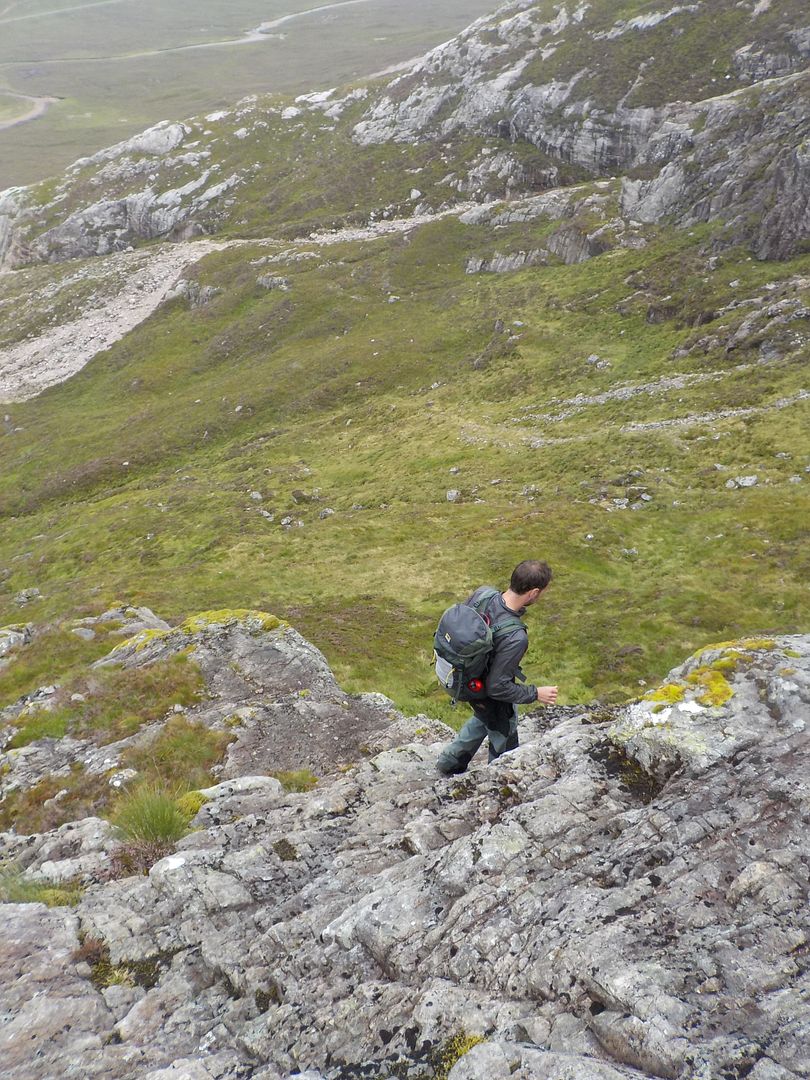
The scramble up behind it on loose boulders was interesting, then from there you are suddenly on another grassy ridge. Very satisfying

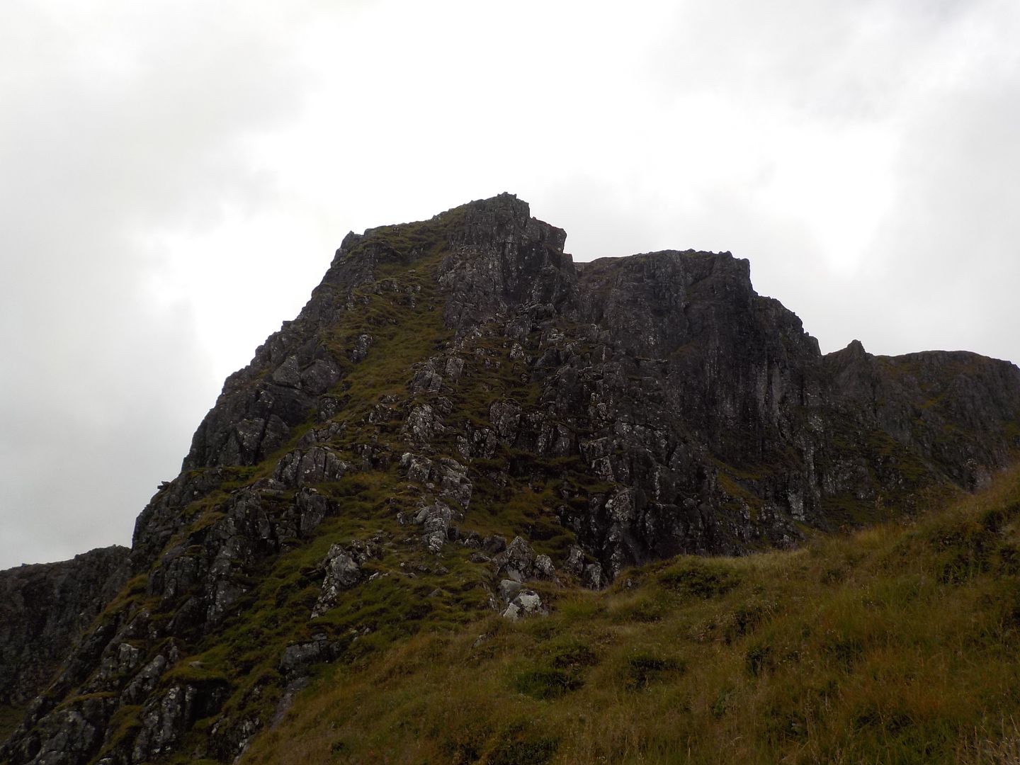
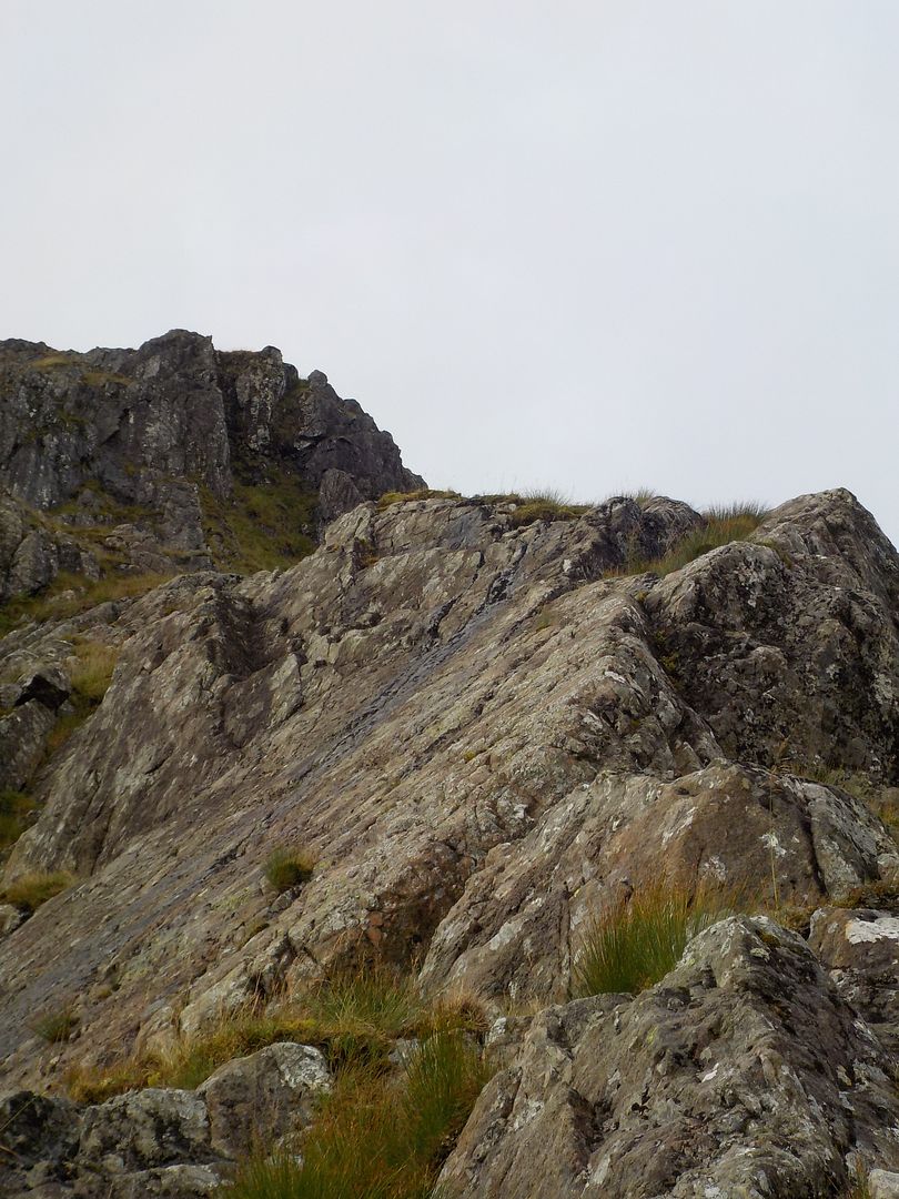
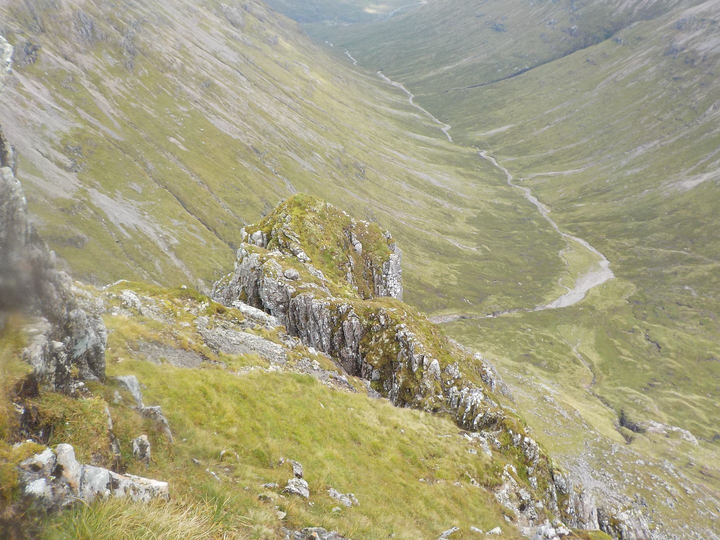
The next steepening, started of a bit dull with vegetated wet rock, but narrows to a pleasant arete, and a fair amount of exposure - unexpected fun as the book doesn't mention it.
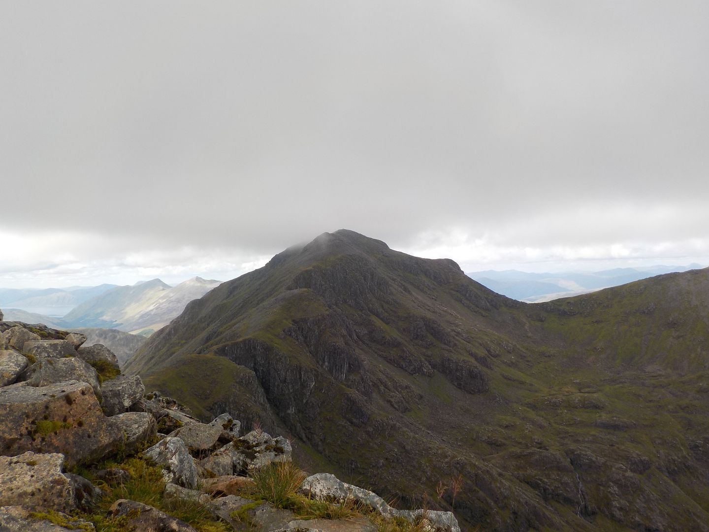
From the top of that bit, I could see the top of the route.
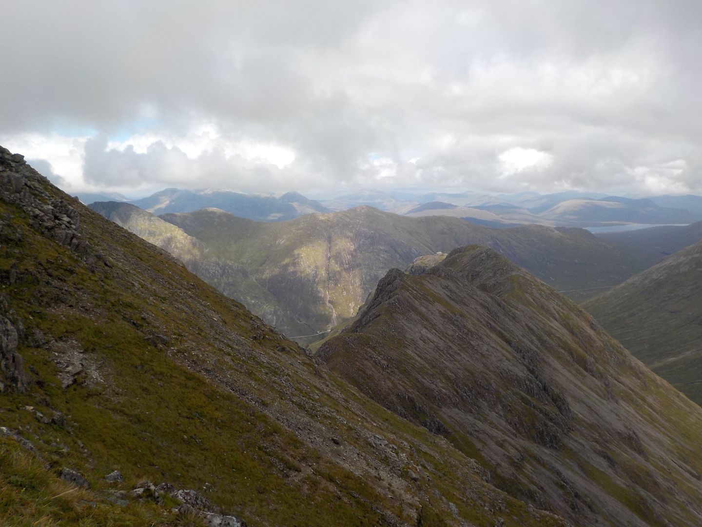
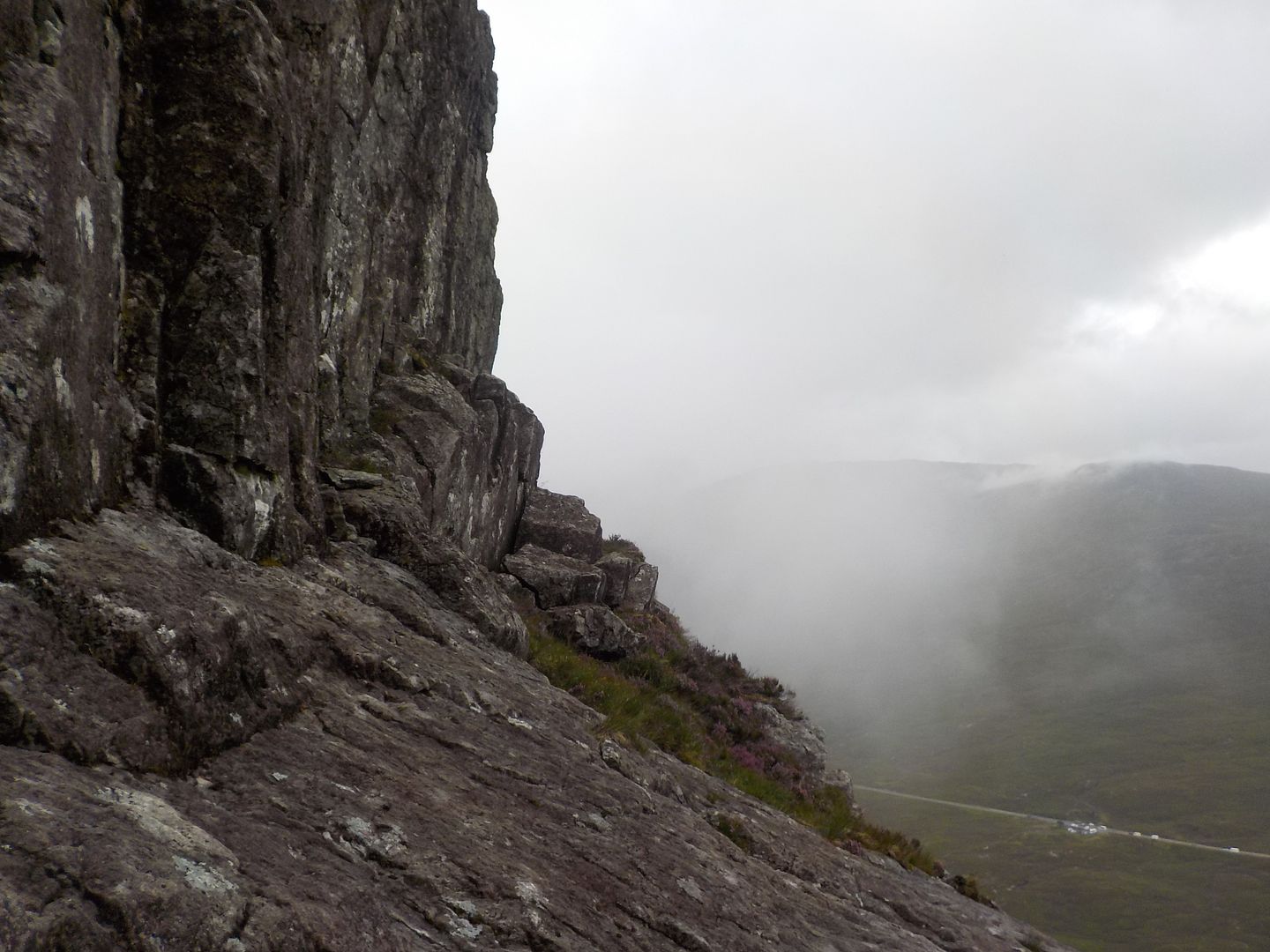
There wasn't very much scrambling up that bit, but there was a terrifyingly narrow little piece of ridge that had me treading very carefully indeed - wouldn't like to go over in the winter
I still felt quite fresh, so a wander to the top was in order.
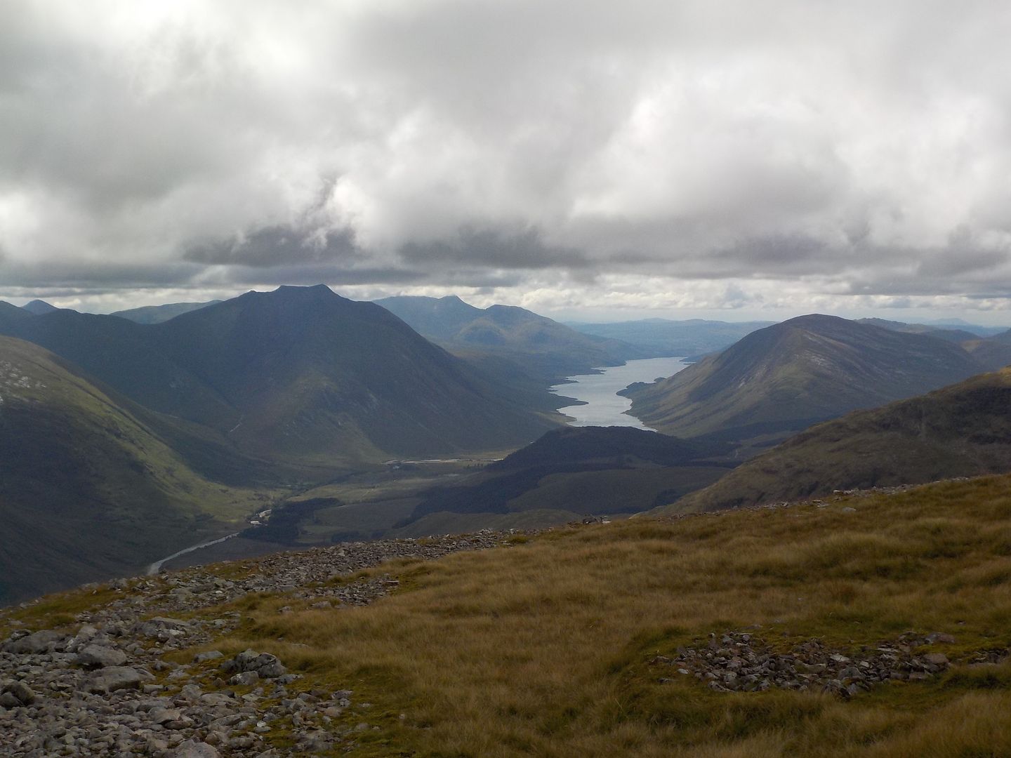
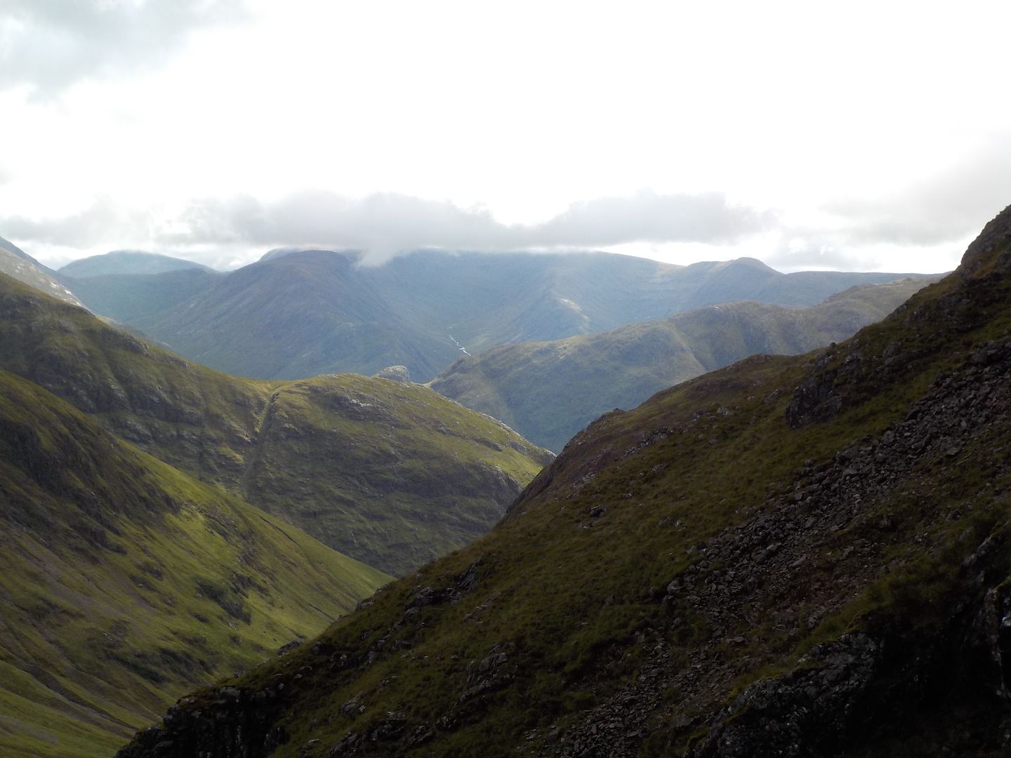
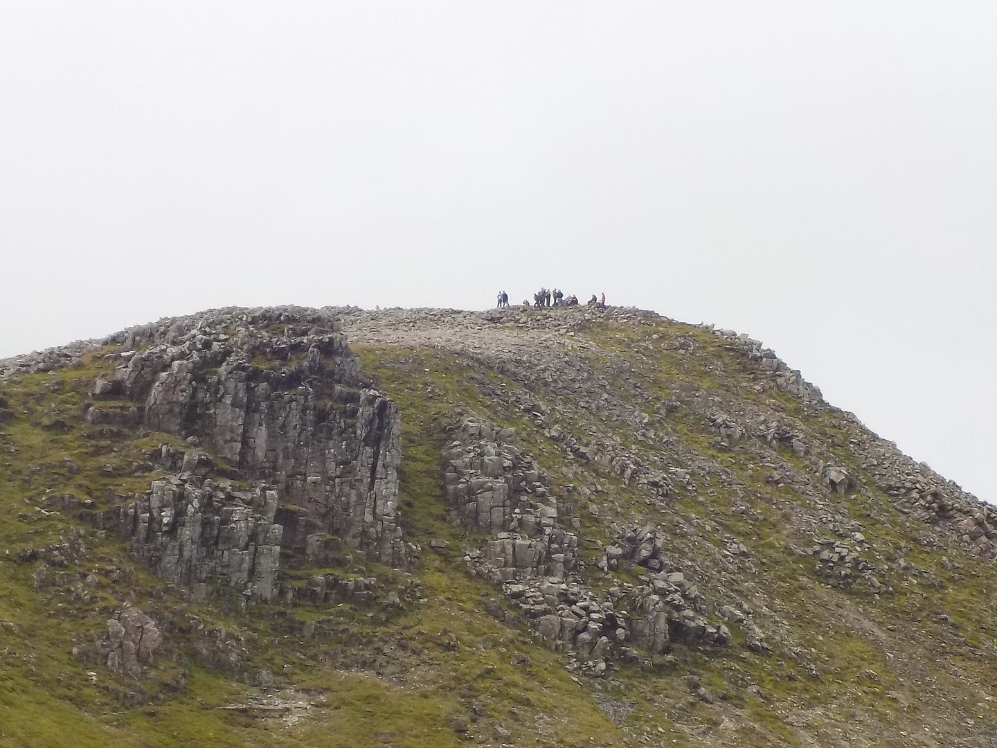
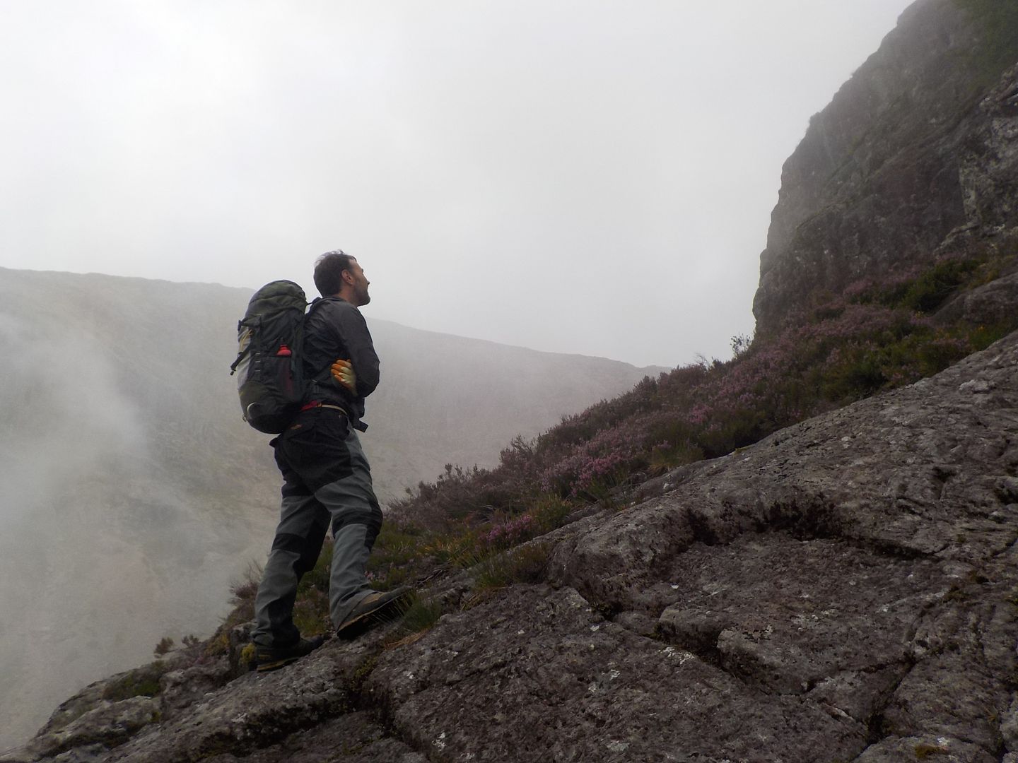
When I got there, there was a big bank of clag over Bidean, but I culd make out a large party coming this way.. Maybe 15-20 minutes, and sure enough I got a wee bit of solitary time to savour the summit
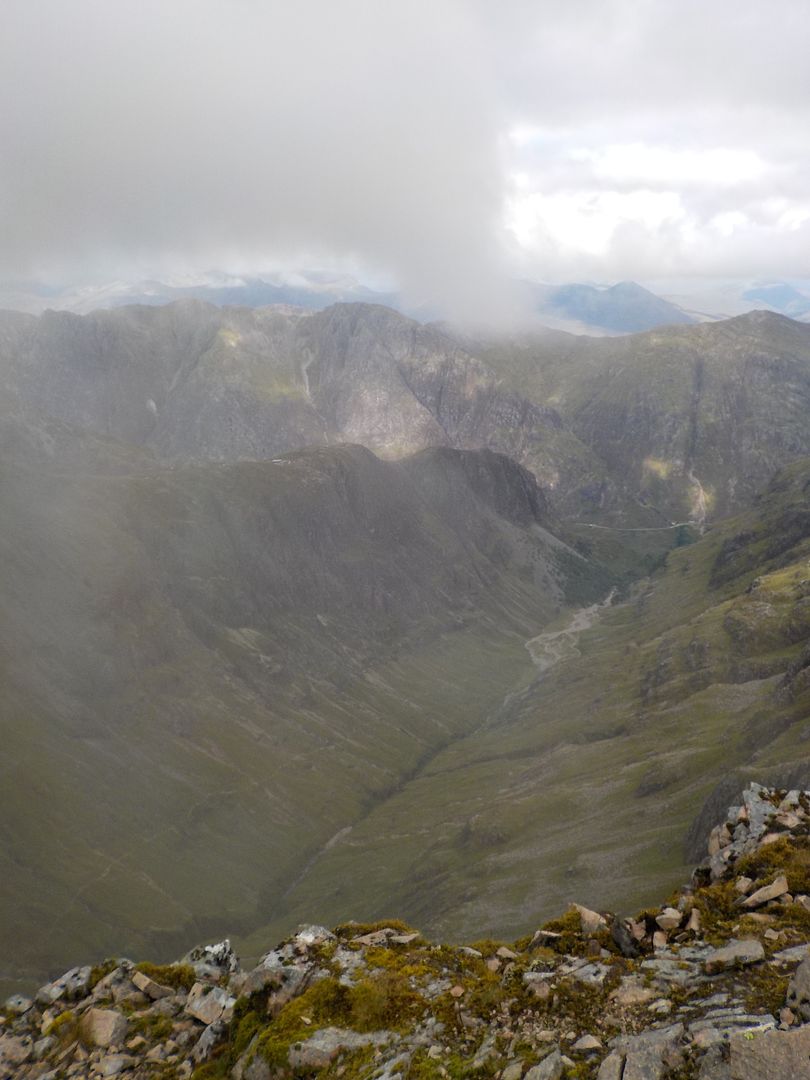
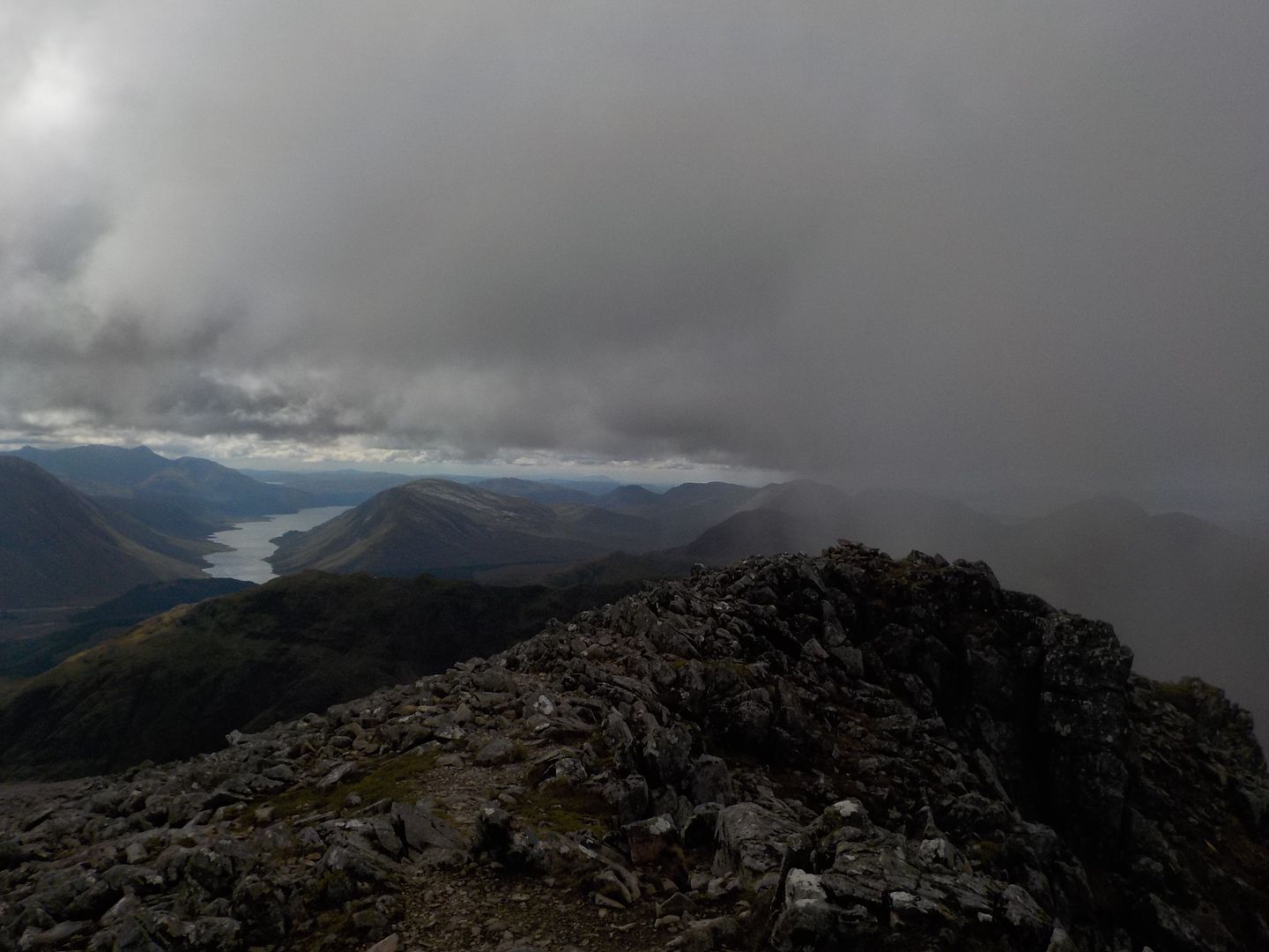
The summit of bidean did clear a little..
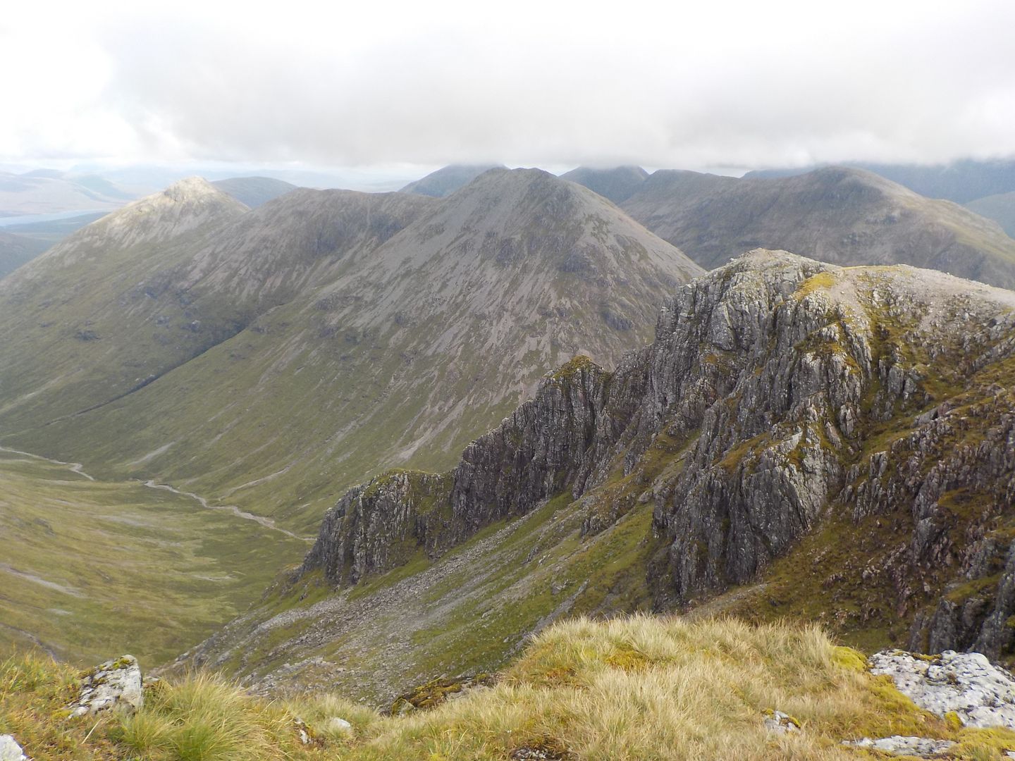
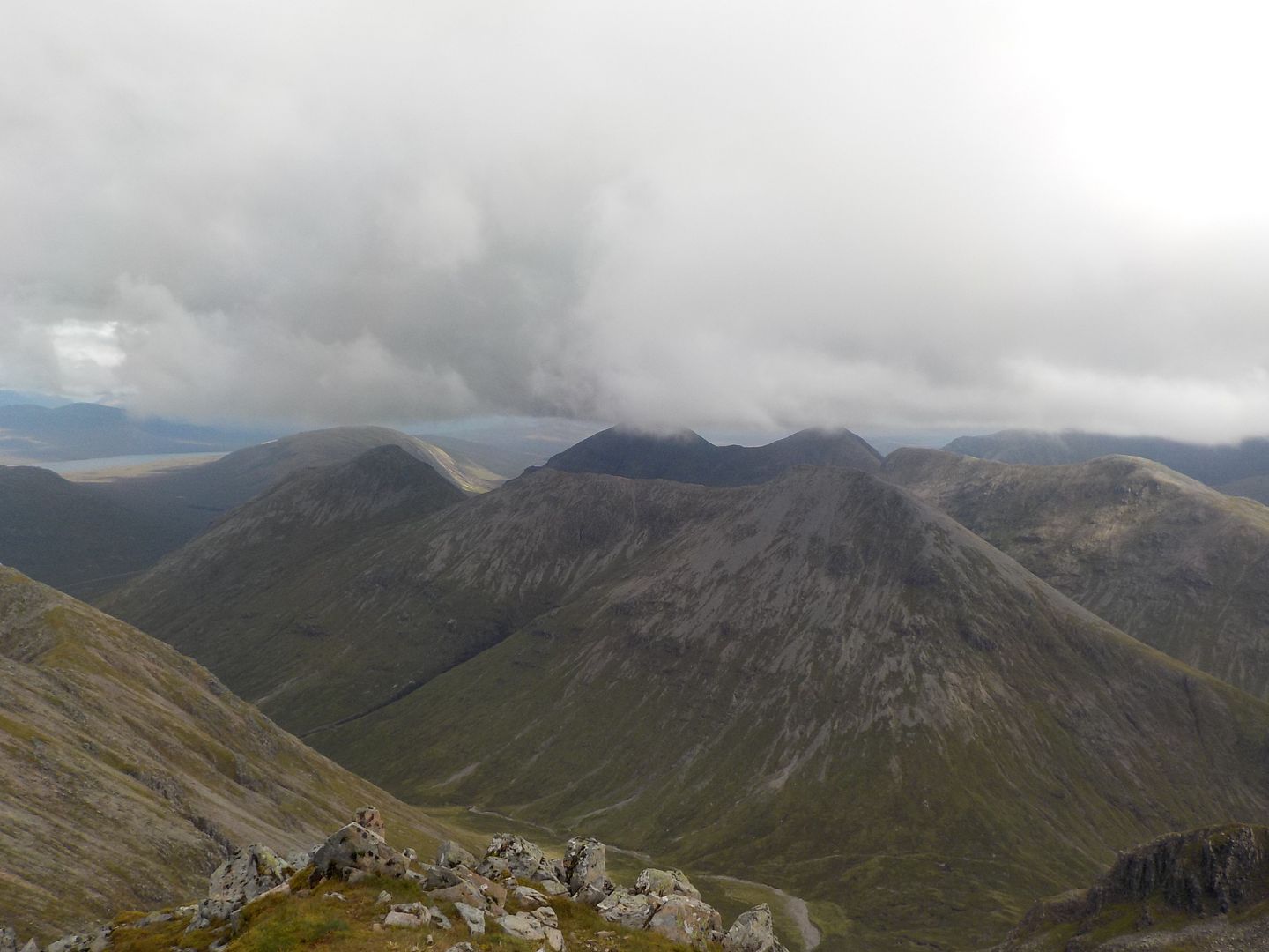
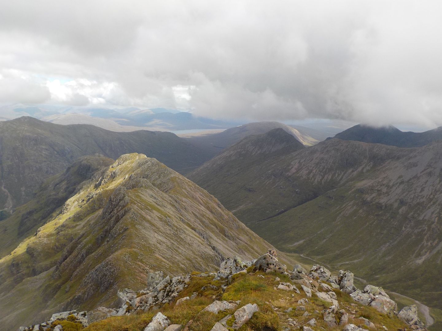
But then the people started arriving, so I headed off back down the ridge I had come, this time heading further down to the coll beyond - steeper than it looked on the map with annoying sized boulders
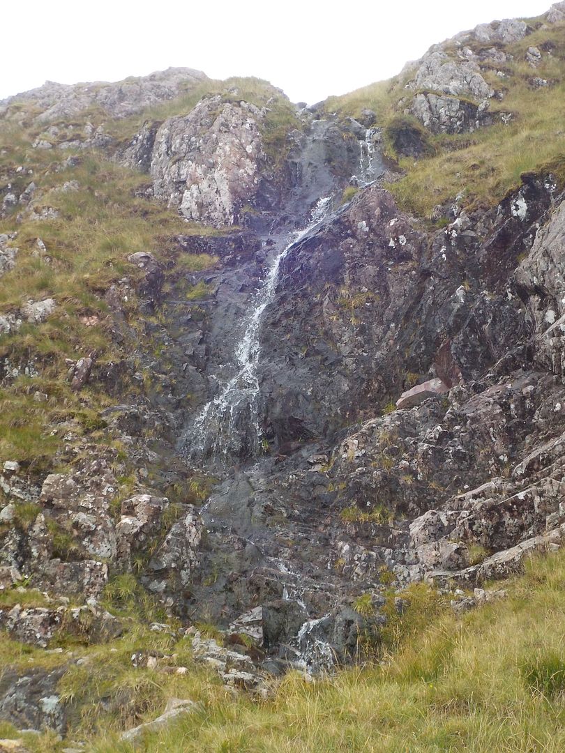
From there I went down, having a delightful wee scramble down alongside a wee waterfall
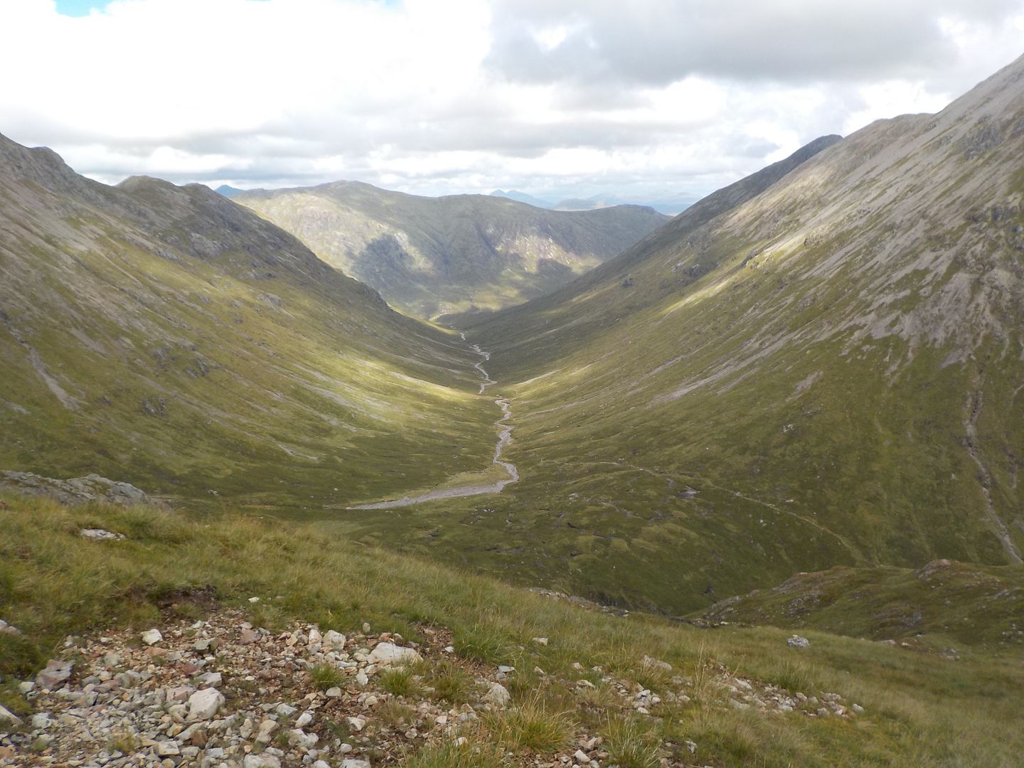
There was inevitably some more bog before getting back to the dry riverbed and eventually the path for a quick stomp down the glen. Was really pleased with how my gammy ankle had held up despite some balance problems, it was only sore about 10% of the time, so a massive improvement
I was back fairly early, and set up the tent in the glen in breezy sunshine that was a delight
Pretty soon though the wind dropped and the midges came out. By the time Dougie arrived at 8 O'clock, they were atrocious. The noise of them hitting the tent was audible, and their masses dimmed the light

Despite this, inside they were very tolerable, so we had a nice evening, just hot
In the morning, we both woke up late - had a brilliant sleep - and when I ventured out I soon realised that it didn't matter as it was drizzly and visibility was down to about 10 yards, so we had a couple of rounds of tea and packed up leisurely once there was a noticable brightening. By the time we got to Altnafeidh, we could actually see the route we were intending
 Apologies for the short route - GPS switched off
 It was a quick easy walk in, the path up the corrie goes right past the bottom, so great.
I did fall in the river courtesy of the rockiest rock known to man, so had one squelchy foot straight off
When we stopped at the bottom for the snack and faff, the midges descended - a common theme of the day as it isn't always possible to climb quick enough to lose them
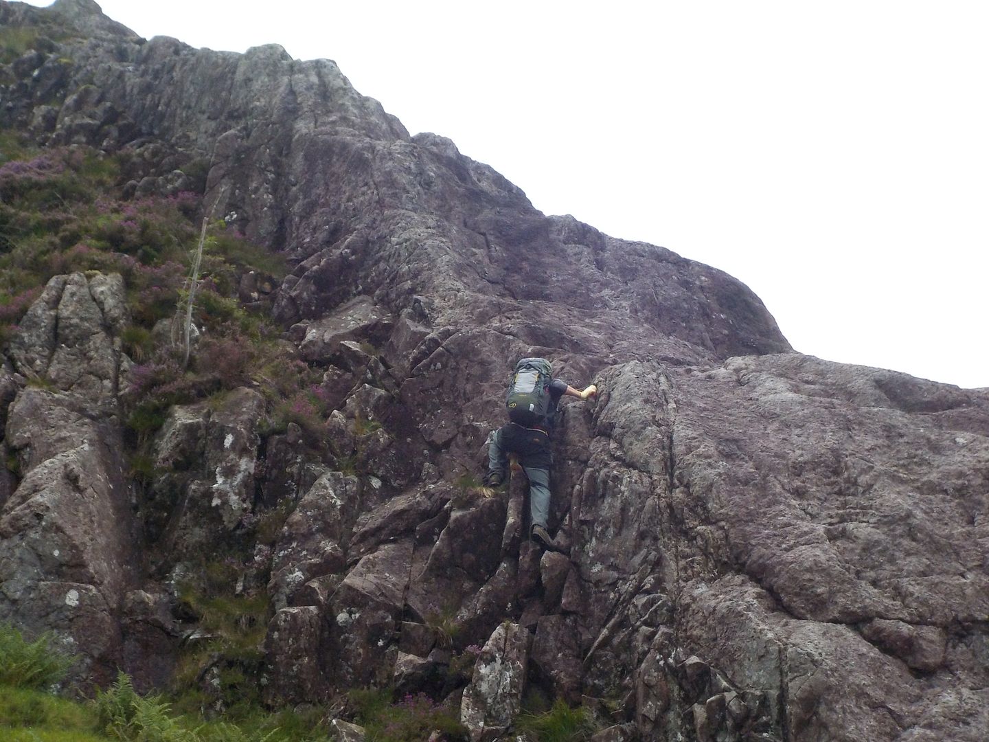
The first bit, is quite easy up a steep ramp of big holds, which leads to a slabby ledge with steeper ground above. The rock was good and fairly dry, we both took separate routes back up to the crest, Dougie going for trickier as usual.
We soon got up to the second tier - Up to the right of the grassy recess.
That part was really fun, and led up to some fine slabs which went on long enough to make your calves scream
The clag came back down and it started to drizzle, not good. The last bit was definitely the hardest so could do with some dry rock
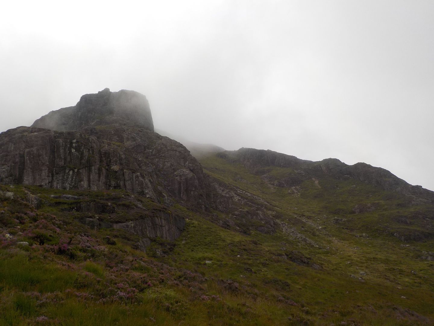
We got to the third tier eventually, initially quite easy, this all stops at a vertical wall that looks impregnable
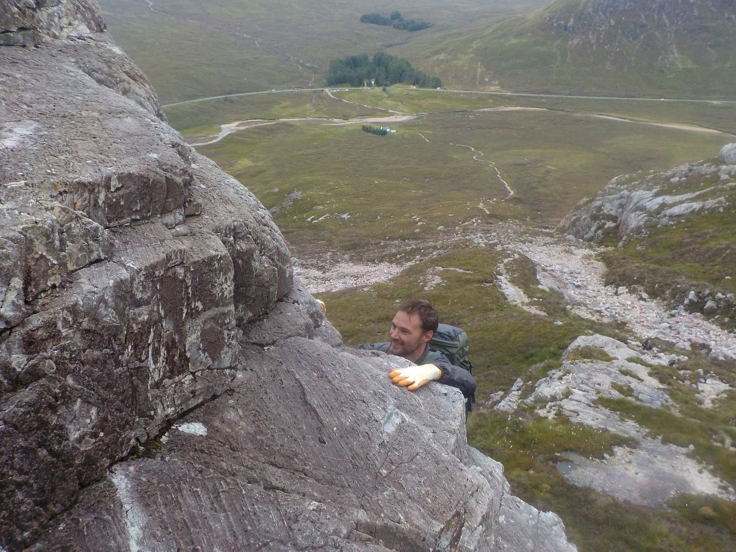
Dougie dropped his water bottle just after I took the shot, so he had to go back down a way to get it
The midges came out in force and had me itching to get going again. We went round left and saw the wall we had to go up - very steep indeed, but with loads of holds. Dougie romped up, but I found it terrifying, so took a less exposed route above the gully for a bit before working back to the crest. The angle eased and we were at the top - Amazing
We sat and had lunch, during which time the drizzle came back on and it got quite wet. We trudged down to the boggy bealach, and found a deer track to help us traverse a huge grassy gully. This took us to the top of an easy angled buttress which although is a bit vegetated initially, leads to a delightful steep section where you have to zigzag to find our way down.
We had a damp traverse back over the gully to the path and out,
good job because as we passed the cottage the heavens opened, and we were absolutely soaked by the time we'd gone the short distance back to the car. Think we got the best of the day even though it had taken less than 3 hours. Really good to know I can do a couple of routes again, especially with alpine holidays looming
