free to be able to rate and comment on reports (as well as access 1:25000 mapping).
Date: 19/10/2016.
Distance: 29km.
Ascent: 1500m.
Time: 9 hours.
Weather: Some rays of sunshine, but mostly miserable rain blown in from the north.
Time for another toilet maintenance visit to Corrour. I was due to meet Ian at the bothy at 11:30am, but first struggled to get out of bed, then out of the car due to uninspiring weather. I haven't tried all of the possibilities for getting into Corrour from the north yet, but going from the Sugar Bowl car park via the Chalamain Gap seemed like the quickest option.
I've never done the first couple of miles to the Gap before, having approached cross-country from Creag Leath-choin or the ski centre previously, so the steep gorge of the Allt Mor right at the beginning was a pleasant surprise. Thereafter, I was wandering along in thick mist, the boulderfield of the Chalamain Gap suddenly looming out of the murk.
Allt Mor from the footbridge:
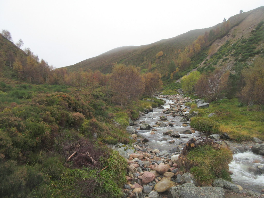
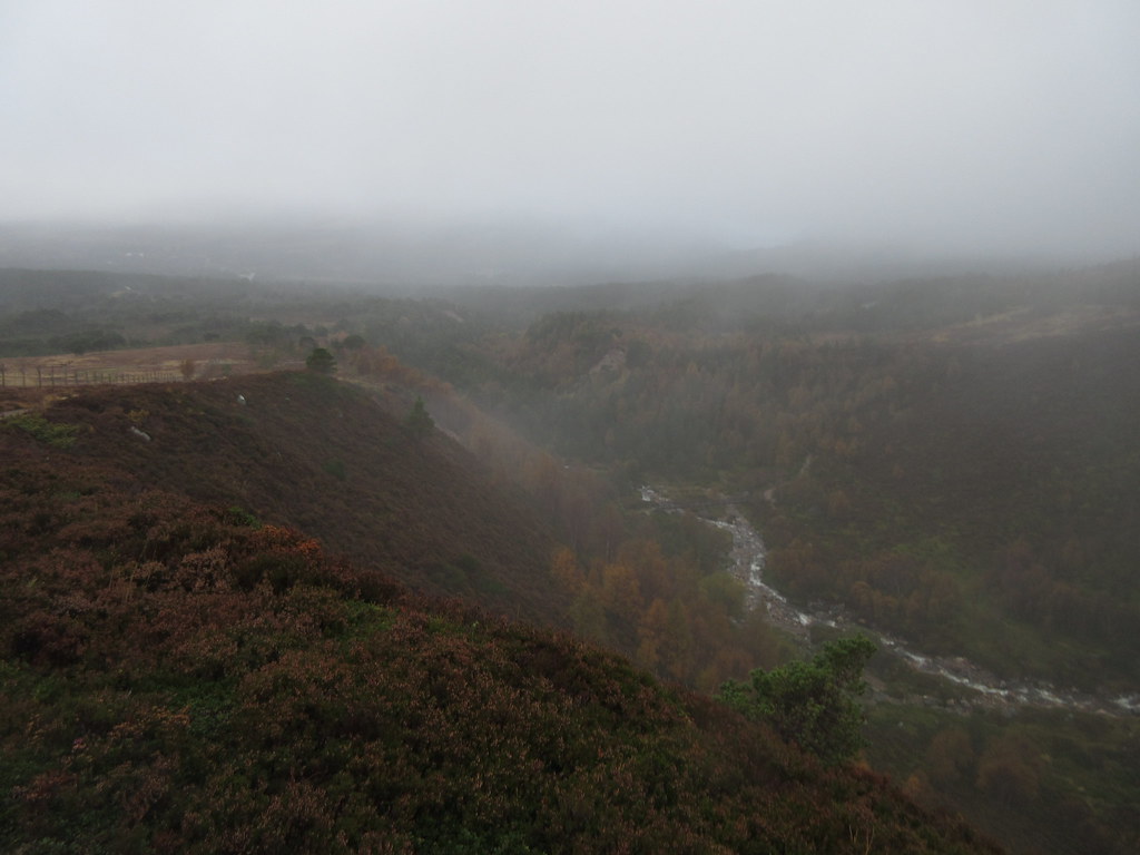
Looking back to the Allt Mor - good indication of the cloud levels over Glenmore:
Just before the main boulderfield in the Lairig Ghru, I managed to slip on a wet rock and headbutt another boulder nearby. Luckily my hands and side took most of the force (and cuts and bruising), leaving a tiny chip in my tooth and a small bump on my head. Could've been a lot worse! I took 5 minutes to examine the damage and calm down before carrying on - typically this didn't happen on any of the boulderfields, where I was paying proper attention.
The rain came on properly on the last leg through the pass. Once I started descending towards the Dee, things cleared a bit, and I met a couple of other folk (one going in each direction). I waded over the Dee a short way upstream of Corrour to shave a few minutes off, but there was no getting away from the fact that I was nearly 30 minutes late. Still, I had made it in around 3 hours, which wasn't bad since it included a tumble, and Ian was late as well, turning up almost the same time as me to the second.
Cairn Toul across the Dee:
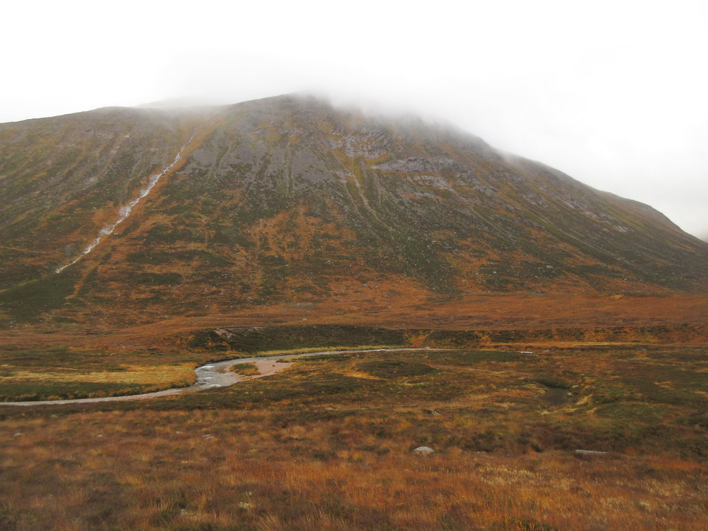
Next shower coming in from the north:
After doing the dirty business with the toilet and having a bit of a natter with Ian and various other bothy inhabitants, I set off for home. I went down to the footbridge this time as I wasn't in a rush. The weather had promised better stuff in the southern Cairngorms, which was pretty much correct, but overall it wasn't as great as the forecast. When the sun did come out, the golden grass was pretty - a contrast to the green of my last visit in July.
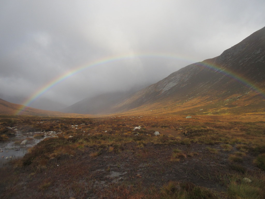
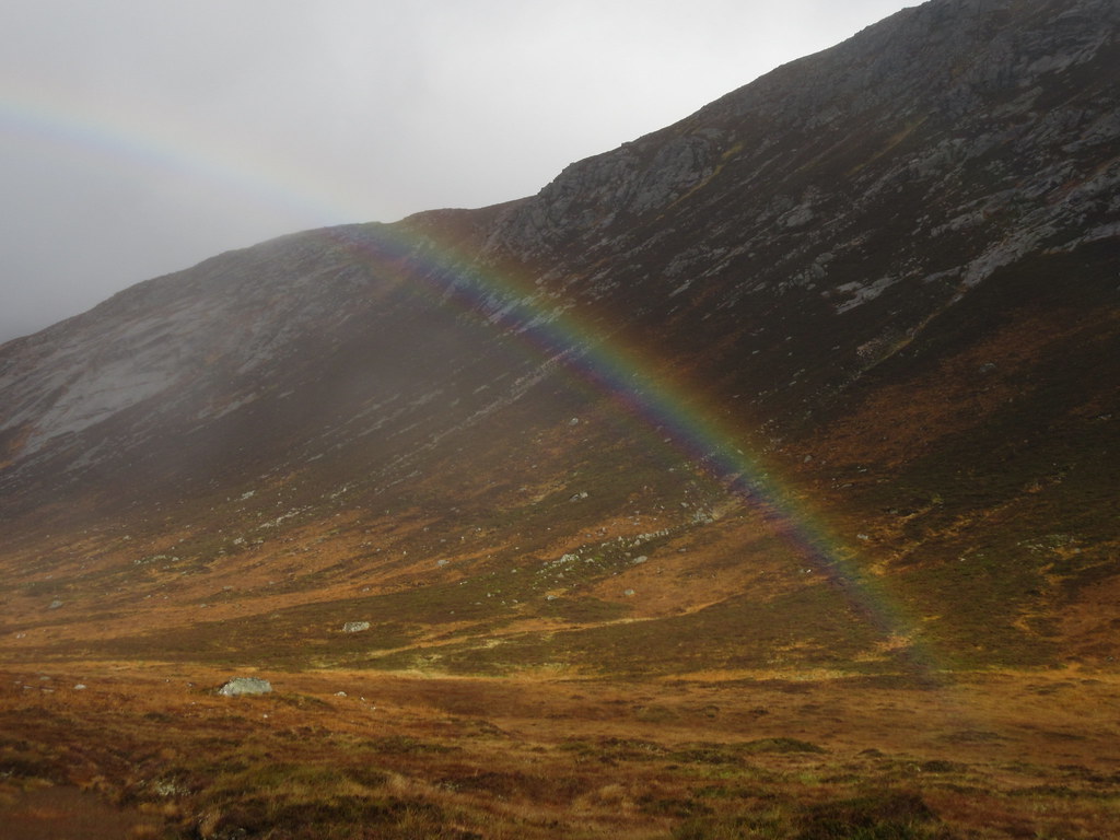
Rainbow over the Dee:
Pretty close to that gold:
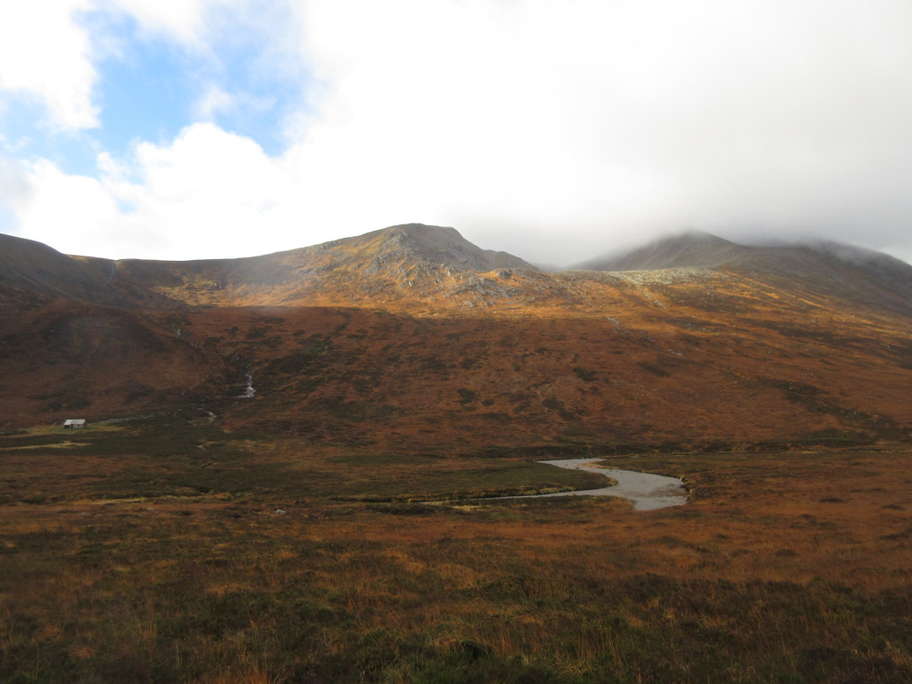
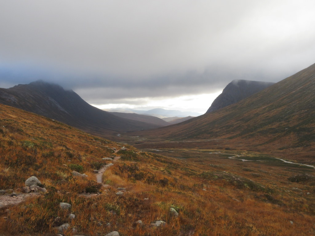
Corrour and Cairn Toul:
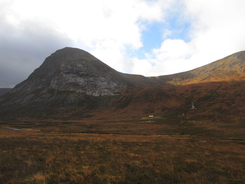
Corrour and the Devil's Point:
(from July):

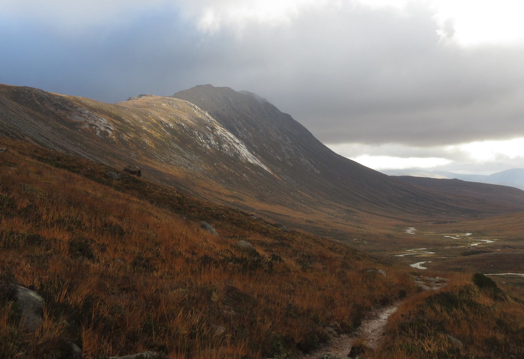
Nice colours despite the lack of high level views:
Sunshine on Carn a' Mhaim:
Back down the Dee:
Originally I had planned to vary my route only if the weather was half decent, but the chance to avoid one of the boulderfields was too much to pass on. I had been curious about a stalker's path zigzagging up Coire Ruadh on the western flank of the Lairig Ghru. Can't remember when I first saw this - might have been Kinley that pointed it out.
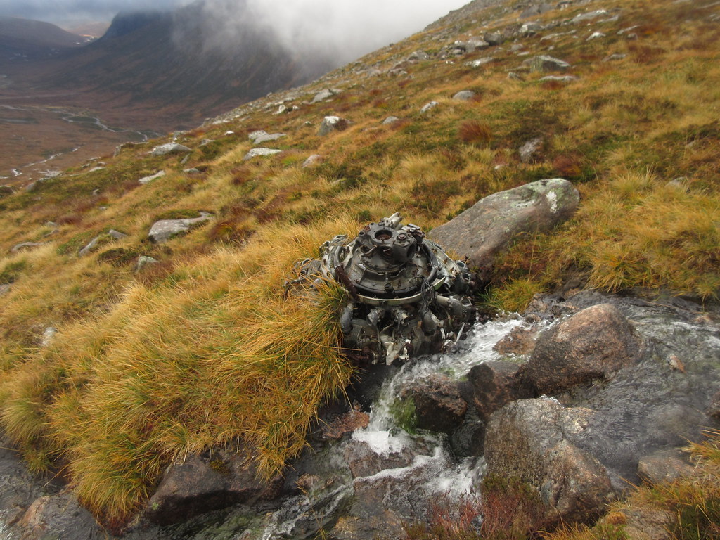
There is no path lower down the corrie, and it's just a case of following the burn upwards to start with. I hadn't realized there was plane wreckage in this corrie - there is an engine lying in the burn. Above that, a faint trodden way appears, that finally turn into faintly constructed zigzags on the back wall. It looks like the path is little used these days - perhaps kept from disappearing completely by folk who use it to link up the Cairngorms 4000ers. A small cairn marks the start of it on the edge of the plateau for anyonw wanting to descend that way.
Plane wreckage in Coire Ruadh:
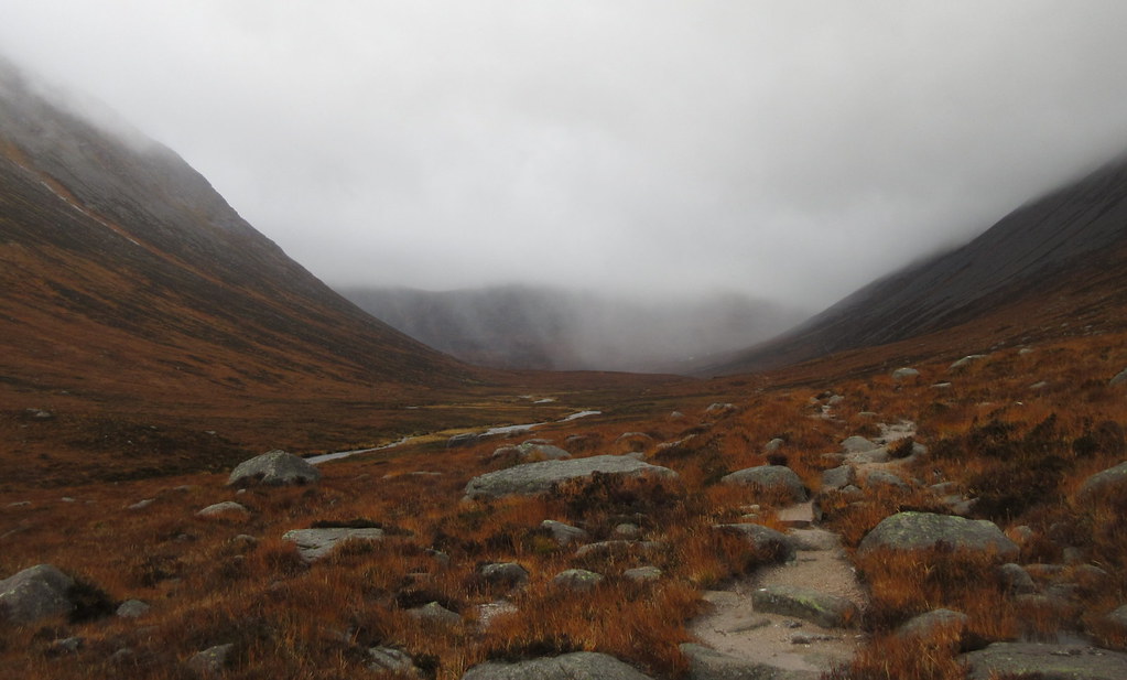
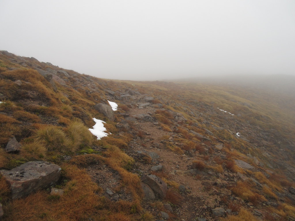
On the plateau there was no visibility, and little evidence of yesterday's snow flurry. Fortunately the wind had dropped too, or it was all just howling through the lairig.
All that snow didn't amount to much:
I was able to pick off an unvisited Munro top here before following the well-made Braeriach path back down towards Rothiemurchus. Another bit of the Cairngorms new to me - one to come back to when I can actually see something.
Then it was past the site of the old Sinclair hut and back onto the path through the Chalamain Gap, where there was no avoiding the second boulderfield. At least visibility was slightly improved on the way out, although it was almost dark by the time I got back to the car.
