free to be able to rate and comment on reports (as well as access 1:25000 mapping).
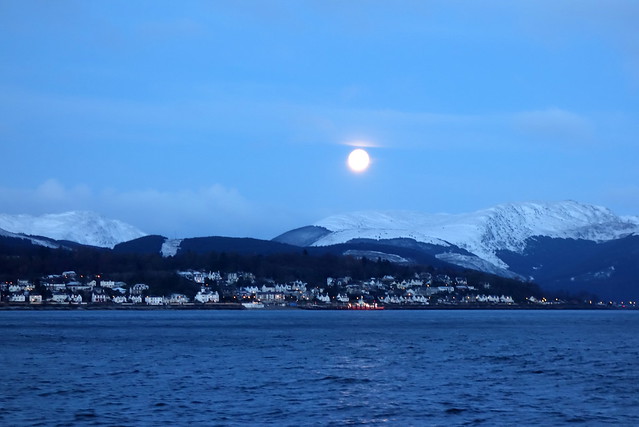
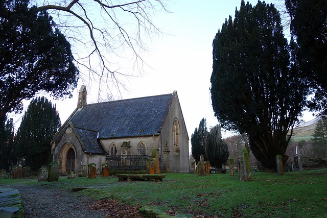
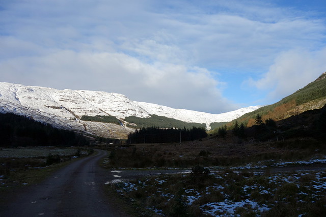
Snow. Hills close to home. Despite being only a stone's throw across the Firth of Clyde from the house, Cowal remains largely unknown to me. A visit to Benmore Gardens years ago, little else. Horrible weather on Thursday deferred our start til Friday morning - was weird to be driving the 2 miles to the ferry (via the Co-Op in Eldon Street to pick up tickets at just over half the price you pay onboard the western Ferries - a wee tip there). Big moon was sitting over Dunoon as we set out in the boat. Once over the crossing we drove south, through Dunoon and round the point at Toward, onto single track road to Inverchaolain where we park at the church. First shock to the system - in recent weeks we've been starting between 200-300m but this is a reminder that west coast hills are mean - 15m is our starting elevation.
Moon over Dunoon
 DSC02463
 by
Al, on Flickr
Inverchaolain Church
 DSC02464
 by
Al, on Flickr
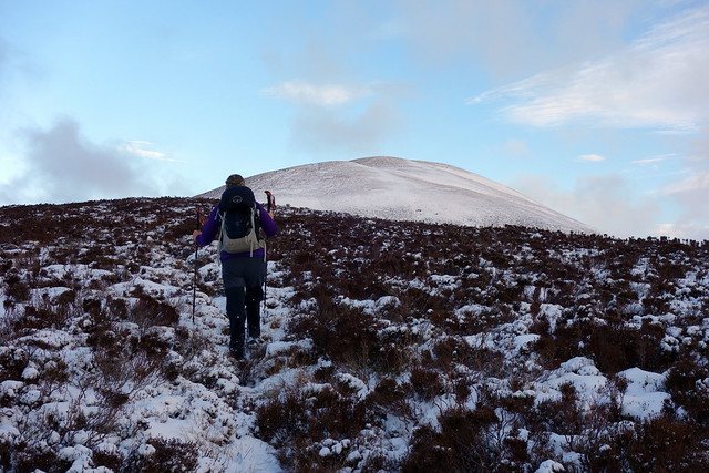
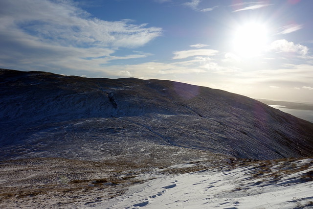
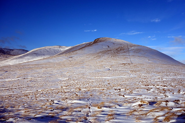
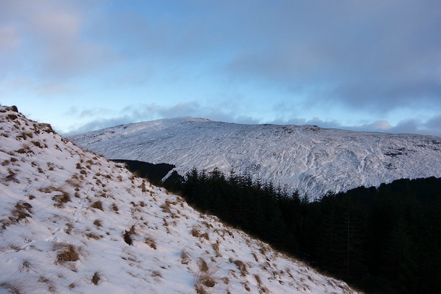
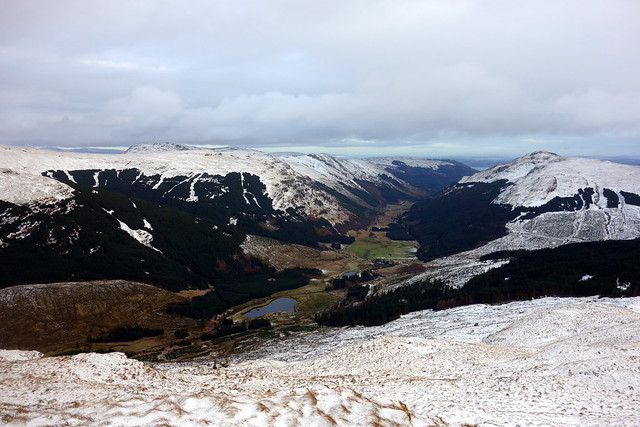
Set off for the farm at Stronyaraig then up an ATV track straight up Sron Dearg. As we reach the spine of the hill and can see the bulk of Cruach nan Capull rising ahead, the wind whips us, chilly blasts. We make the trig at 572m but still have almost 2km to go before reaching our summit. It's cold - after all these mild weeks a cold biting wind is hard to get used to. Good views over to Arran, looking fine and snowy. There's a clear track to the summit - the hard thing is staying upright. After reaching the cairn we drop down along the fenceline to the east and find some shelter to have lunch.
 DSC02467
 by
Al, on Flickr
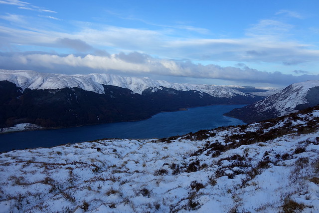
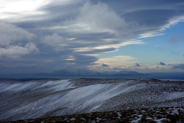
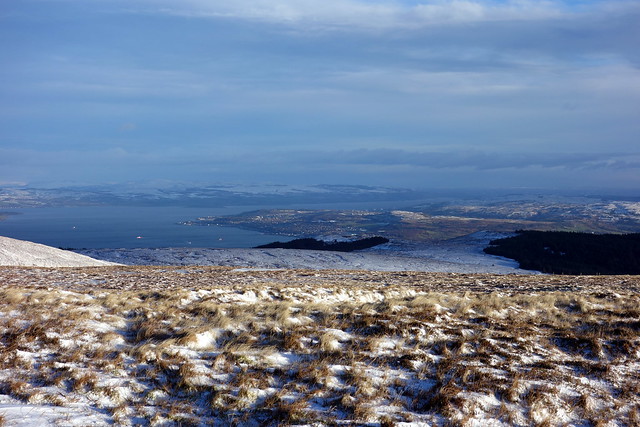
View up Loch Fyne
 DSC02468
 by
Al, on Flickr
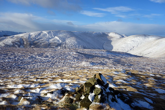
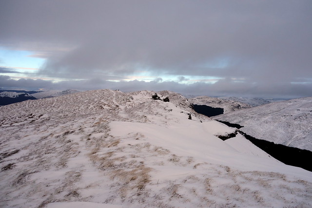
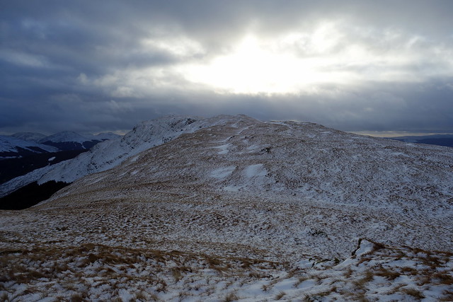
Top of the horseshoe bending round to Black Craig
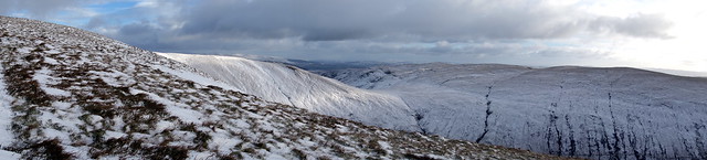 DSC02469
 by
Al, on Flickr
 DSC02470
 by
Al, on Flickr
On to Cruach nan Capull
 DSC02471
 by
Al, on Flickr
 DSC02473
 by
Al, on Flickr
 DSC02475
 by
Al, on Flickr
View to Arran
 DSC02476
 by
Al, on Flickr
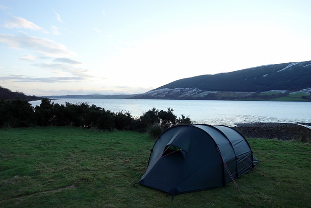
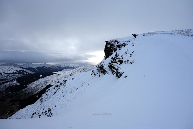
Next we will make for the Marilyn of Black Craig on the other side of Inverchaolain Glen, making this into a sweet horseshoe route. Over Leacann nan Gall and down to Bealach na Sreine, trying to avoid snow holes then up the hillside first to the 506m point of The Socach then onto Black Craig. From here we saunter along the top of the hillside before cutting down to Inverchaolain Farm, through some gorse bushes and onto the track that leads to the road. Allison had noticed a suitable campspot just off the road a little way south of the church, couple of fire pits suggested it gets used fairly often, it made a good pitch apart from the road noise of passing cars, though that stopped mid-evening. Rained overnight, but a pleasant morning.
Up to Black Craig
 DSC02478
 by
Al, on Flickr
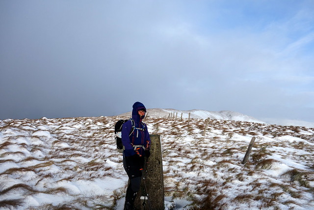
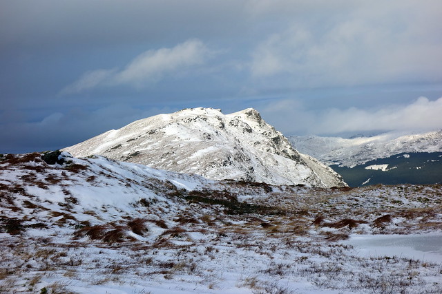
Cruach nan Capull
 DSC02479
 by
Al, on Flickr
 DSC02481
 by
Al, on Flickr
Look - it's Gourock!
 DSC02484
 by
Al, on Flickr
Sron Dearg - gorse in flower - in mid january!
 DSC02488
 by
Al, on Flickr
 DSC02489
 by
Al, on Flickr
 DSC02490
 by
Al, on Flickr
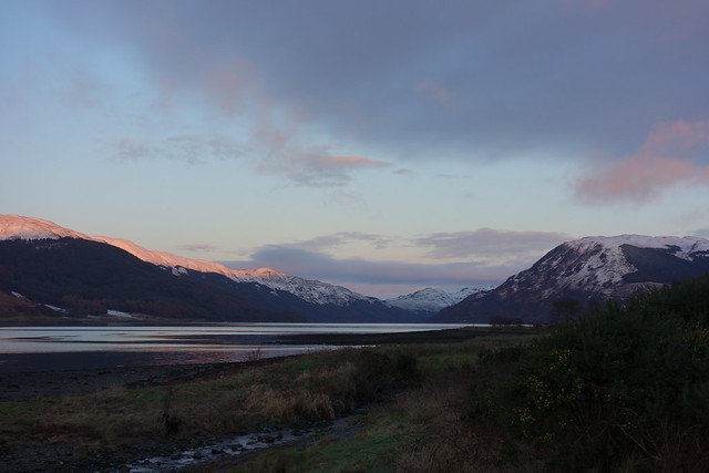
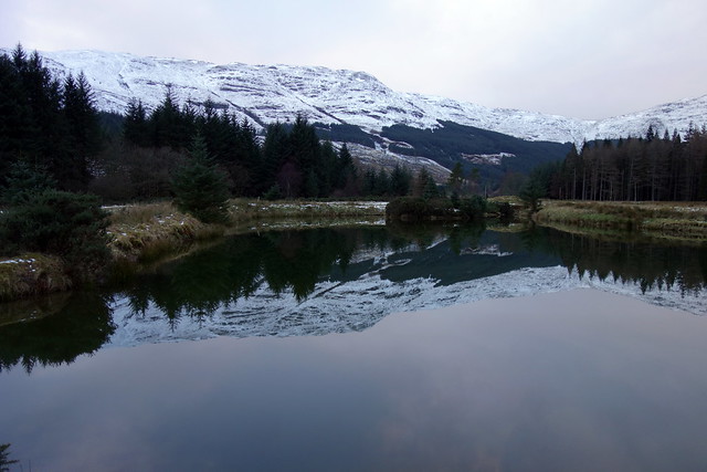
Loch Fyne, Saturday morning
 DSC02497
 by
Al, on Flickr
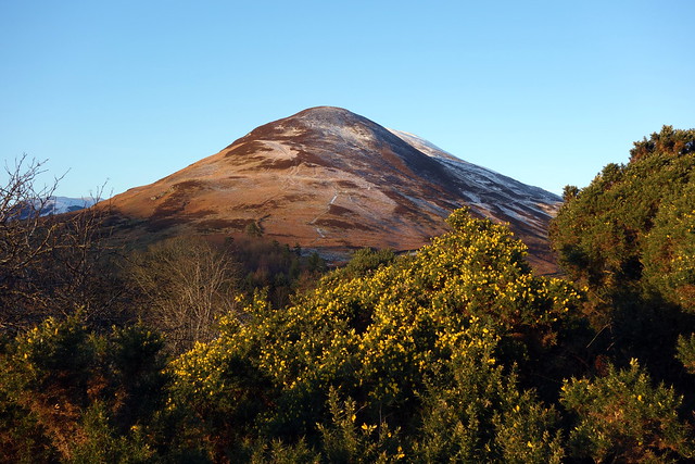
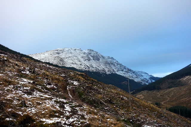
Beinn Mhor, from Sandbank
 DSC02498
 by
Al, on Flickr
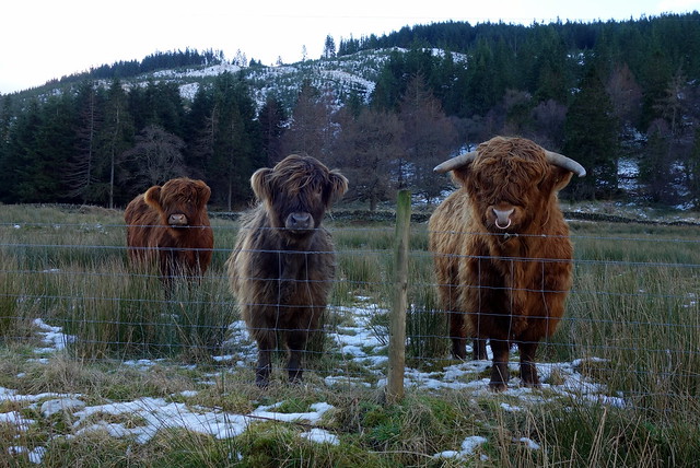
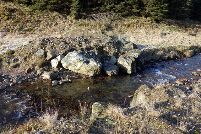
We decamped and set back along to Dunoon. I'd thought we might do Beinn Mhor and Creag Tarsuinn, but in the snow that was not going to happen. I decided we'd drive up Glen Massan and do Creag Tarsuinn on its own - which turned out to be a wise move. The narrow road up the glen was covered in ice, progress was slow to the small parking area by the bridge at the end of the public road. We walked along the forestry track to Glen Massan Farm, passing an inquisitive bull and calves, along the track through the trees, taking a new track right down to the Garrachra Burn where there's the beginnings of a bridge being built, but wading still necessary.
Looking back along Glen Massan
 DSC02501
 by
Al, on Flickr
Tarsuinn up ahead
 DSC02502
 by
Al, on Flickr
Bovine curiosity
 DSC02503
 by
Al, on Flickr
Garrachra
 DSC02504
 by
Al, on Flickr
You can see the dip of Bealach nan Sac
 DSC02505
 by
Al, on Flickr
No bridge
 DSC02506
 by
Al, on Flickr
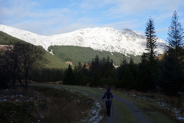
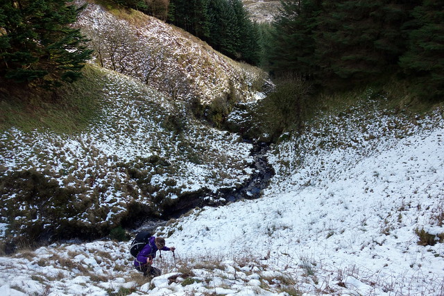
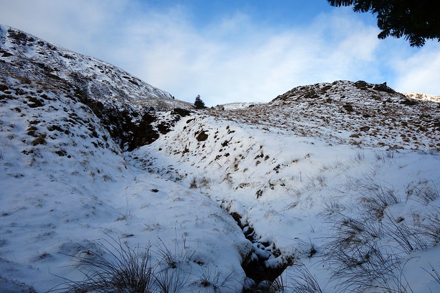
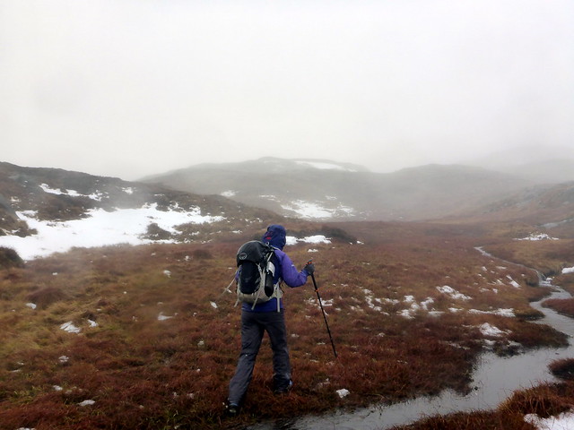
From here we had a short journey through densely planted trees into the deep ravine of the Allt na Sac. This rises through the trees but is steep and slippy, with a significant drop down to the burn. We crossed over to the right hand side about midway up and headed through the trees to where the plantation ended at around 380m. Glad to be on open hillside we slowly gained height on the snowy slopes - deep drifts in places. Reaching the Bealach nan Sac we then turned right along the crest to Bealach na Daimh and on to the summit - was one of the hummocks, no cairn. A bit of cornice on the steep slope down to Garrachra Glen. From here we retraced our steps back to Bealach nan Sac and continued along at high level towards Meall Dubh and Carn Ban. Creag Tarsuinn looking rather impressive in its snowy finery as we looked back.
Steeply up the ravine
 DSC02509
 by
Al, on Flickr
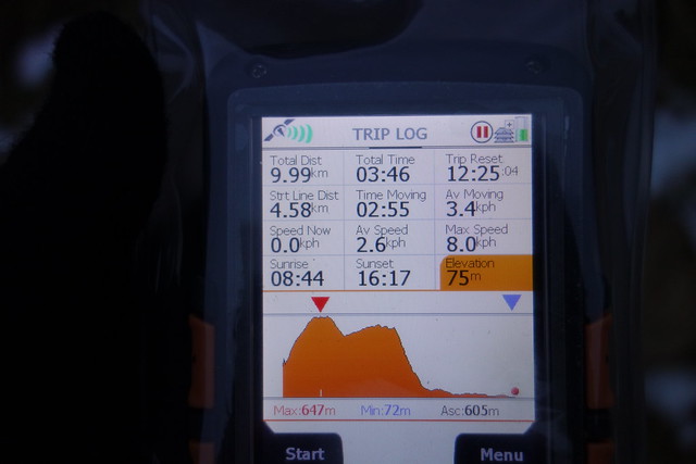
Change of battery needed
 DSC02510
 by
Al, on Flickr
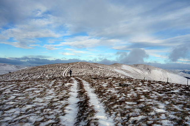
Onto open hillside
 DSC02511
 by
Al, on Flickr
Beinn Mhor
 DSC02513
 by
Al, on Flickr
Along from Bealach nan Sac
 DSC02516
 by
Al, on Flickr
 DSC02517
 by
Al, on Flickr
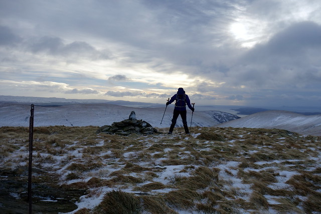
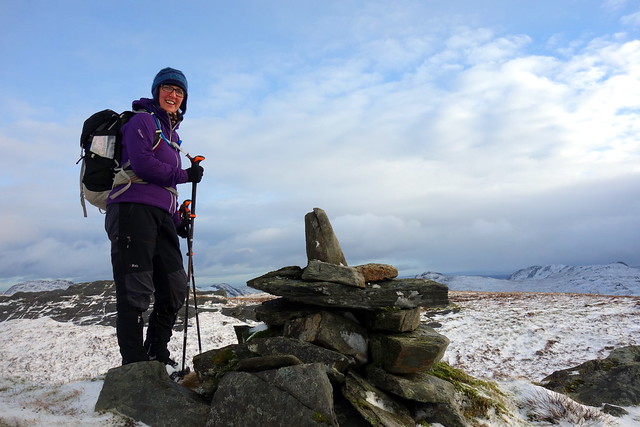
Summit
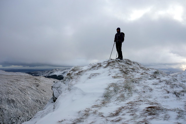 DSC02518
 by
Al, on Flickr
Onwards to Meall Dubh/ Carn Ban
 DSC02519
 by
Al, on Flickr
Tarsuinn
 DSC02520
 by
Al, on Flickr
 DSC02521
 by
Al, on Flickr
 DSC02522
 by
Al, on Flickr
View down Glen Massan from Carn Ban
 DSC02525
 by
Al, on Flickr
From the trig on Carn Ban we headed straight down towards the house at Garrachra, the forest here having been cleared and leaving a mess of stumps and roots to be negotiated in the lower section. Onto the track, drizzly rain beginning as we walked back past Glen Massan, the nicely appointed holiday cottage of Corrie Massan (only £1300 per week in high season

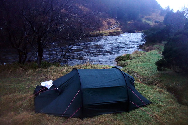
) and back to the car. Wasn't really sure where we were going to camp, but found a flat spot just beside the parking area. Got some strange looks from the dog walkers who all seemed to congregate at 4.45pm - weird, but managed to get set up and the tea cooked before the rain started.
 DSC02527
 by
Al, on Flickr
 DSC02529
 by
Al, on Flickr
 DSC02530
 by
Al, on Flickr
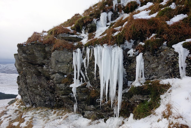
Boy did it rain. Lashing the tent all night, sometimes the wind getting up as well. More worrying however waws the sudden rise in temperature - the river just beside the tent got louder and louder as the night progressed with rain and snow melt. We lay awake much of the night wondering if we were going to get swept away - I said to Allison that we do have some interesting nights, don't we

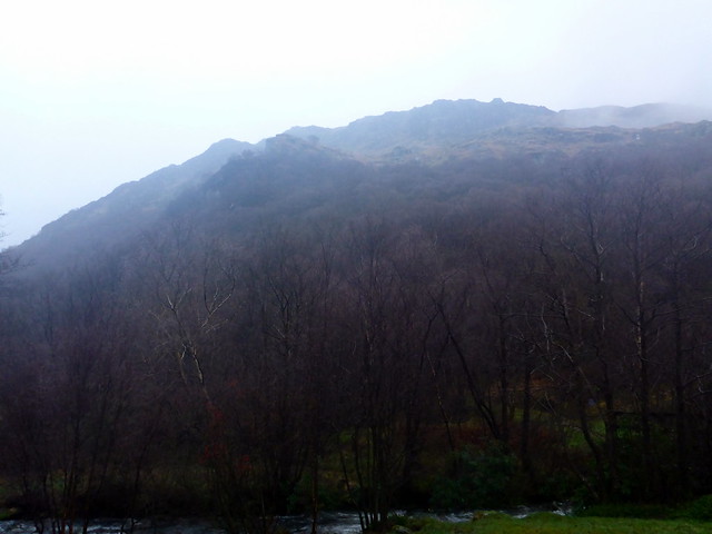
Fortunately although the river was swollen and fast flowing it didn't reach the tent. The rain abated as we got up and made breakfast, but it looked a very damp day in prospect. We'd agreed that Beinn Ruadh would fit the bill - a short steep hill accessed from Inverchapel car park. Not much traffic around, and no ice left on the road. The various waterfalls from Beinn Mhor looked impressive as we parked up and got our waterproofs on. The hill above looked craggy and steep - what we could see through the crag anyway.
 DSC02532
 by
Al, on Flickr
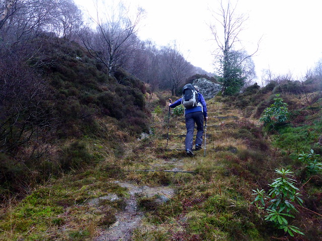
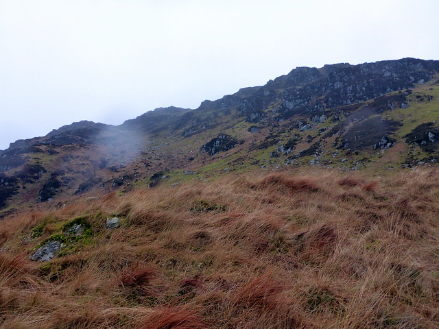
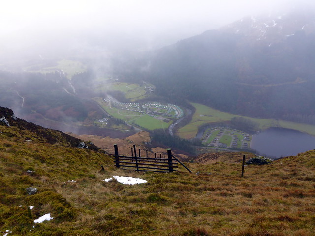
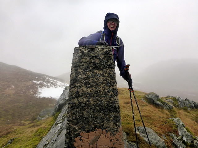
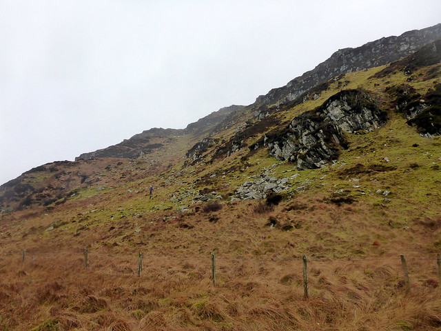
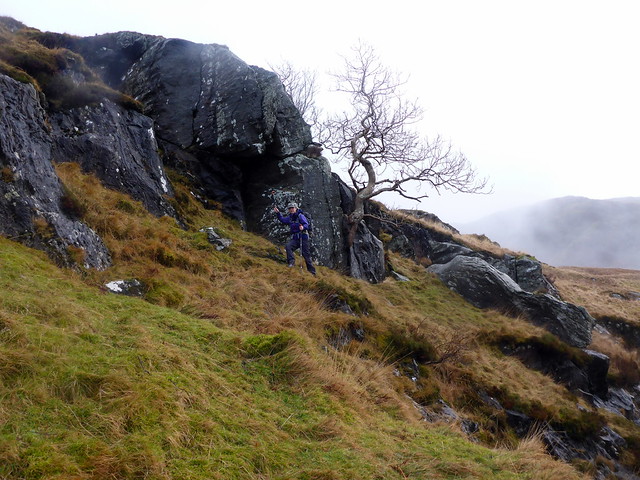
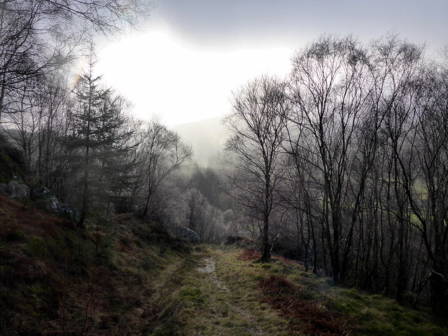
We began on the footpath, which took us into the trees. The SMC book says turn up the hillside at a wooden kissing gate - we chose the first one - but realised later it should have been the second one, just before the viewpoint. Anyway, we ascended, avoiding crags and coming to a fenceline which we loosely followed to its end at 500m - steep grass/heather with boulders scattered about. We were now deep into clag and followed a stream up to the 620m point, marked with a cairn. No view of the summit from here - we took a bearing and headed into the mist, a wet, boggy tread up and down til the final rise to the summit trig. There is a metal fence post line that can be followed and this took us back to the 620 point, we descended the same way as we'd come up, with a brief diversion over some crags to provide entertainment on a short day out. It's only 10 miles from this hill to my front door - who'd have thought it

But looking forward to going back to climb Beinn Mhor & Bheag.
 P1140598
 by
Al, on Flickr
 P1140599
 by
Al, on Flickr
 P1140602
 by
Al, on Flickr
 P1140603
 by
Al, on Flickr
 P1140605
 by
Al, on Flickr
Summit
 P1140606
 by
Al, on Flickr
 P1140607
 by
Al, on Flickr
 P1140608
 by
Al, on Flickr
 P1140609
 by
Al, on Flickr
 P1140610
 by
Al, on Flickr
