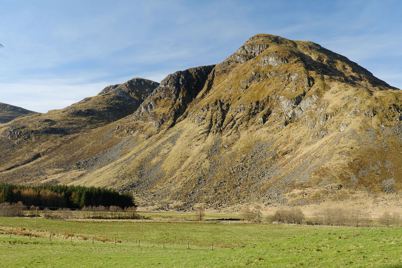
Mayar and Driesh, Glen Clova
A stunning ascent through picturesque Corrie Fee leads up to the extensive rolling plateau above - visiting the summits of Mayar and Driesh. With the descent on the excellent Kilbo path back to Glendoll forest at the head of Glen Clova, in summer conditions this makes a straightforward round for two Munros.
Terrain
Good path to back of Corrie Fee, then pathless section over moorland, rough path to Driesh - navigation aided by fence posts, descent on rough path.
Public Transport
None to start.
Start
Glen Doll car park (charge), Glen Clova.
Hillwalking in Winter
Please note that hillwalking when there is snow lying requires an ice-axe, crampons and the knowledge, experience and skill to use them correctly. All route descriptions and difficulties given here are for summer conditions. See our Winter Skills page for basic information on the essential skills, techniques and knowledge needed for winter hillwalking.
Users' reports
Read about the experiences of our users on this route.
There are 142 reports from this walk - click to read them.