Highland walks

Kilmartin Glen

INVERARAY AND CENTRAL ARGYLL

Summary : 
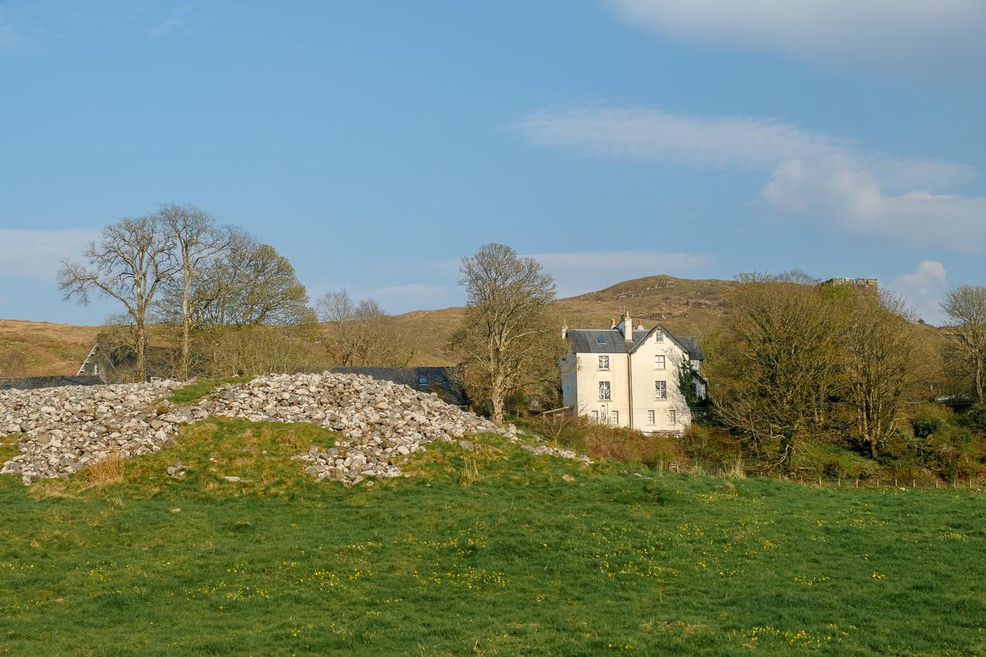
Kilmartin Glen is said to be one of the richest areas in Europe for prehistoric remains. This walk links some of the most impressive monuments in a straightforward excursion from Kilmartin village.
Terrain : Minor roads and paths with some muddy sections
Grade : grade Distance : 7km/4.25 miles
Bog Factor : bog factorbog factor Time :2 – 2.5 hours
Start :Kilmartin village Grid ref :NR834988
Map :   View an OS map showing this route
Ascent : 30m
GPS Route/
Waypoints :
 Open this walk in QUO 2 
Tell me more
 Open this walk in GPX format 
(compatible with Memory map etc)
 Open in Virtual Highlands
Tell me more
 Open this walk in Google Earth
Tell me more
Public Transport :[Click for timetables - choose Area 3]

Kilmartin Glen no. 1

1. There is parking in Kilmartin either by the church or at the Kilmartin House Museum. It is worth visiting the museum to give an introduction to some of the sites visited on the walk; see our Kilmartin Glen page for more information on the remains. Before setting off, be sure to visit the church. Inside are three old Celtic carved crosses (moved there to protect them from the weather), whilst in the churchyard there are some fantastically-carved medieval grave slabs. Many of these are protected in the covered building but there are some more between there and the graveyard entrance.


Kilmartin Glen no. 2

2. Begin the walk by heading along the pavement beside the road leading north out of the village. Keep along the pavement down the hill and past the garage to reach a track turning off to the left. Follow this track, keeping left after crossing the bridge. Turn left at the end of the track onto a path and then track signed as a cycle-way and a 'safe route to school'. Go through a gate; immediately afterwards on the left is a footbridge giving access to the field containing Kilmartin Glebe Cairn. Overlooked by the village, this is the northernmost of the cairns in the 'linear cemetary', a series of Bronze Age Chambered Cairns along the Kilmartin Glen. The cairn, which is thought to be over 3,500 years old, contained two 'cists' or chambers which contained pottery and a jet necklace. After visiting the cairn, return over the bridge to the track.


Kilmartin Glen no. 3

3. Continue south along the track. The next cairn which is on the left beside the track is Nether Largie North Cairn. This cairn has been reconstructed over a modern chamber, which can be entered from the top of the cairn by sliding back the trapdoor. Descend the steep steps within to find see a large carved slab, carved with 10 or more axe-heads; it is thought to have been the grave of a very important member of the community.


Kilmartin Glen no. 4

4. Return to the track once more. Nether Largie Mid Cairn is a short distance further on, with a cist on its south side showing a faint carving of an axe-head. Continue along the track, passing the picturesque school, to join a tarmac road at a corner; go straight ahead on the road. The next large cairn on the left is Nether Largie South. This is the oldest of the cairns, thought to date to before 3000BC; it contains a large chambered tomb which can still be entered; when excavated in 1864 it was found to contain pottery, burnt bones and beakers. Do not return to the road, but follow the footpath from the far end of the cairn, signed for Lady Glassary Wood.


Kilmartin Glen no. 5

5. Turn right at the wood and go through the gate, heading for the standing stones. There are five such stones; four of them are aligned on two axes in the same direction as the linear cemetary, and the remaining stone is in the centre. From the stones head left, crossing the footbridge to reach a road by a car park. Turn right along the road for four hundred metres, and then turn right again onto an even smaller road signed for Slockavullin. A short distance along is the fine house at Ri Cruin. Turn left over the stile just before the house and follow a path between the wall and fence to reach Ri Cruin cairn. This cairn had been robbed but a cist at the far side has an opening with clear axe-head carvings.


Kilmartin Glen no. 6

6. Return to the road and turn left to continue along it, then turn right at the next road junction. Temple Wood is the second of the two woods on the left, and there are two stone circles here beside the road. This site was used over thousands of years, beginning well before 3000 BC; as with other stone circles, its exact purpose is not really known. Continue along the road which rejoins the outward route by Nether Largie South Cairn; go straight ahead to reach the lane and follow it back before turning right to complete the retracing of your steps back to Kilmartin. If you wish to see more standing stones and cairns, drive south to the Dunchragaig car park; across the road from it you can visit another large cairn, standing stones and cup-and-ring carvings. Further south again and also worth a visit is Dunadd, the rocky miniature hill which was the site of an ancient fort and headquarters of Dalriada, the original kingdom of the Scotti (or Scots). By its summit a carved footprint in the rock is reputedly where the first 'Scottish' Kings were crowned.


Have you done this walk?

If so, why not be the first comment on it in our Forum. If you start a new topic in the walking discussion with the name of this walk as the topic, we will link the discussion to the walk so that others can read your comments here.

Have you found an error or is any information wrong or missing?

Please let us know by using the error report form.


Route profile

Accommodation links for this area:
Argyll Hotels and Inns
Self catering cottages in Argyll
Argyll and Oban hostels and bunkhouses


Visit our other areas: Isle of Skye | Fort William | Cairngorms | Torridon | Loch Ness & Glen Affric | Kintail | Ullapool | Perthshire | Argyll
©2007-2008 walkhighlands.co.uk DISCLAIMER, Terms of use, Copyright and Privacy policies. Walking is dangerous and done at your own risk