River Ness and Caledonian Canal circuit, Inverness

 INVERNESS

A walk around Inverness on the banks of the River Ness, the Caledonian Canal and the coast. It makes an interesting walk whilst staying in the city, or as an easier option on a rainy day.
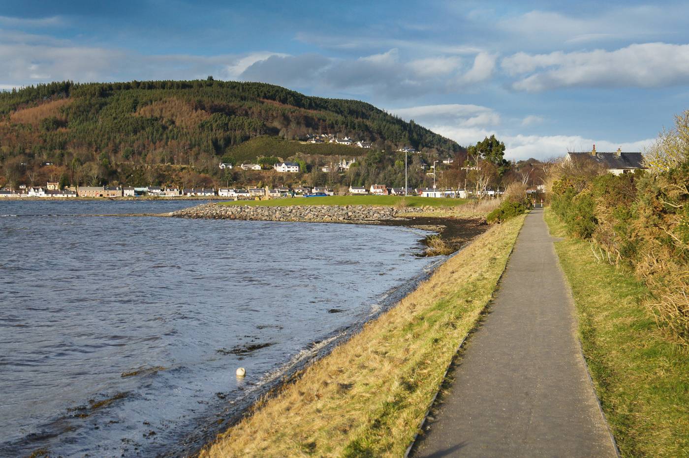
Summary

Canal towpaths, roads and riverside paths.

Terrain

NH666452

Grid ref

11.5km/7 miles

Distance

grade Key

Grade

57m [Profile]

Ascent

3.5 - 4.5 hours

Time

Bog Factor

Start

Maps

  Download walk in GPX format
  For use with Memory Map, Anquet etc.

GPS Waypoints

View in 3D

Users'
rating

Users'
reports

Public transport


River Ness and Caledonian Canal circuit, Inverness no. 1

1. The walk begins from the centre of Inverness, where the High Street becomes Bridge Street as it runs down to the river. (An alternative if parking is required is to start from the Sports Centre mentioned later on the walk). Turn left along the river bank here (Castle Street), passing beneath the Castle. Inverness' most famous landmark, the present building dates back only to 1835 and is a court house, but the site has been a castle for around a thousand years. Castle street soon forks off to the left; keep straight on alongside the fast-flowing river (on Ness Bank). There is an attractive pedestrian suspension bridge over the river here.


River Ness and Caledonian Canal circuit, Inverness no. 2

2. Keep to the path alongside the river, passing some of the most desirable old houses in Inverness. You'll soon reach a war memorial on a well kept green; again, keep to the river bank. Cross the bridge onto an island when you reach it. This is the first of the Ness Islands, which are a beautiful natural park with much wildlife. The path crosses several bridges linking each island to the next, before a final suspension bridge completes the journey to the far side of the river. Turn left along the river bank (following signs for the Great Glen Way).


3. At the next Great Glen Way sign (there is another bridge off to the left), turn right as indicated up the lane with a drystone wall on the right side. You'll pass the grounds of the Floral hall and then the car park for Inverness Sports Centre. Keep straight ahead until you reach the main road.


4. Turn left here and cross the bridge over the Caledonian Canal. At the far side, carefully cross over the road and head up the tarmac towpath beside the canal. There is a very attractive cemetary built around a steep hill on the opposite side. Continue along the tow-path when the Great Glen Way heads off to the left. Eventually you will reach the start of a boat yard and marina; the path has to leave the side of the canal here and run on the road through the yard (signed for Muirtown lochs); pick up the tow path once more on the far side.


River Ness and Caledonian Canal circuit, Inverness no. 3

5. Muirtown lochs are an attractive flight, a lesser version of the well-known staircases of lochs at Banavie and Fort Augustus. Cross the road at the end of the flight of lochs, going through the iron gate on the far side to keep right on the canal bank. You are now heading round a wide section of canal known as Muirtown Basin. At the far end of the basin, cross the railway at the crossing, and follow the banks of the canal to the final loch at Clachnaharry, where the canal meets the waters of the Beauly Firth. There are fine views across the firth to the distant mountains.


6. Cross the canal using the final loch, and head back up the far bank and across the railway once more. Turn left at the signpost for 'Old Ferry Pier and North Kessock'. This takes you along the seawall with a good chance of spotting wading birds. After crossing the railway a third time you will emerge through a gate at the picnic area at south Kessock. If you are lucky, this is a good place to see the Moray Firth Dolphins (best seen around the change of tides). Follow the road along the front of the houses. After a short distance, there is an optional detour path off to the left which leads to a green beacon with a good view of Kessock bridge.


River Ness and Caledonian Canal circuit, Inverness no. 7

7. Continue along the road beside the river Ness, into a more industrial area. Keep left at the fork just after the plumbing centre. The road comes back alongside the river; pass under the railway bridge and along Gilbert Street, where surroundings become more pleasantly residential once more. Continue along the river bank, passing two more road bridges before reaching a pedestrian suspension bridge. Cross this, and turn right to return to the start point.


Have you found an error or is any information wrong or missing?

Please let us know by using the error report form.

Quick links:
Inverness Hotels
Inverness B&B
Inverness cottages
Loch Ness hostels


Route profile


Walking can be dangerous and is done entirely at your own risk. Information is provided free of charge; it is the walkers responsibility to check it and navigate using a map and compass.
See our Terms of use, Disclaimer, Privacy and Copyright Policies for more details. ©2006-2009 walkhighlands.co.uk