
A project which aims to combine citizen science and GPS technology to tackle tick bites and Lyme disease has been awarded funding from the European Space Agency (ESA). The ESA has awarded €250,000 to test the feasibility of LymeMap, a proposed phone app and web-based system that will help to identify tick hot-spots.
The system will use GPS technology to provide information on a user’s location as well as details such as the location’s height, temperature and ground cover. The person will be able to upload information on ticks and this – together with data from GPs and NHS Highland’s National Lyme Borreliosis Testing Laboratory at Raigmore Hospital, Inverness – will help to produce maps showing where they are most prevalent.
“Lyme disease is the most common vector-borne human disease in the UK, and the number of cases reported in Scotland has increased ten-fold in the past 10 years,” said Roger Evans, a clinical scientist with NHS Highland, one of the agencies collaborating in the project. “If it is not diagnosed and treated properly, it can lead to a severe and debilitating disease.
“Unfortunately, health organisations have limited effective tools at their disposal to reduce the incidence of Lyme disease. Resident and visiting populations need an approach that will help them prevent getting Lyme disease and manage exposure to ticks. From a health and safety and an economic point of view, organisations and businesses that employ people exposed to infected ticks also need a better tool for preventing the disease.
Professor George Gunn, project leader and head of Scotland’s Rural College (SRUC)’s Epidemiology Research Unit, said: “This is an exciting opportunity for Scottish organisations to work together to make a tangible difference to the health of those working outdoors and outdoor enthusiasts who are most likely to be exposed to ticks.
“The ERU has particular expertise in data analysis and will be using this to create risk maps that vary by season and which will be used to help minimise the risk of ticks to users.”
The one-year study will test the technical and commercial feasibility of LymeMap. If it is successful, and subject to funding, the project is expected to move to a demonstrator phase before being commercialised.
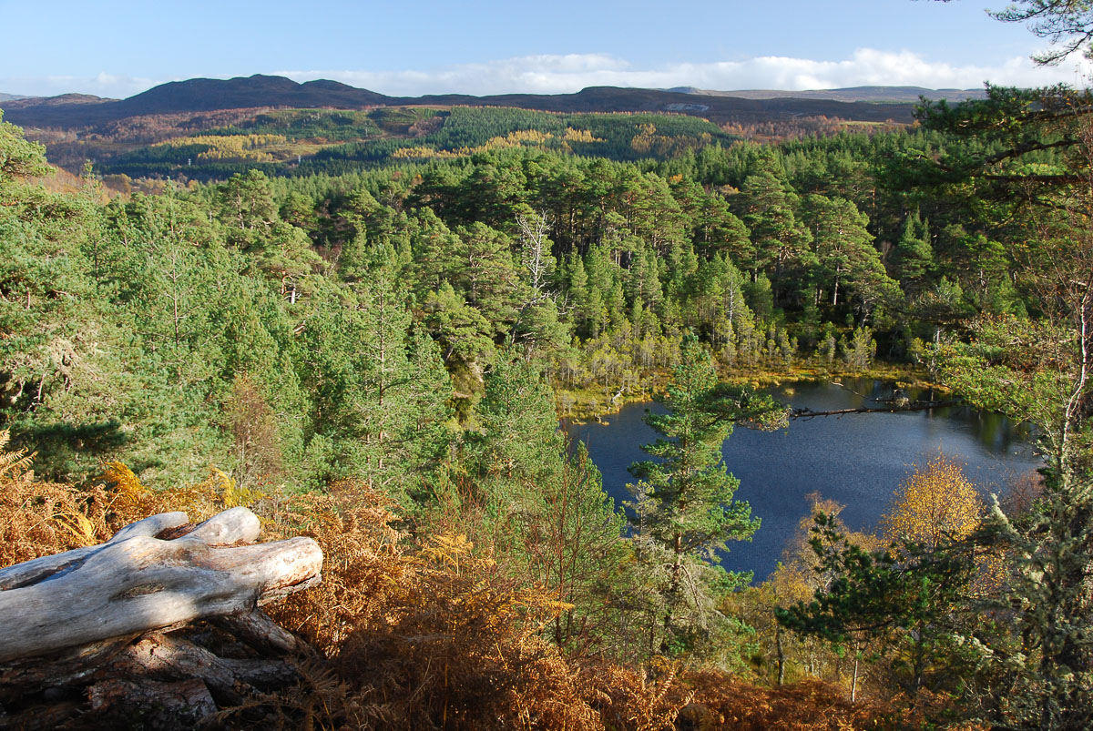
Walkers are particularly prone to contracting Lyme disease as they spend time in woodland, grassland and moorland areas. Tick bites often go unnoticed and the tick can remain feeding for several days before dropping off. The longer the tick is in place, the higher the risk of Lyme disease.
The reasons for the increasing incidence of Lyme disease are not known, but may include ecological changes affecting the number of ticks or the proportion of ticks infected, as well as increasing recreational use of the countryside. The disease can be found in at least 80 countries, making it an issue of worldwide significance.
Dr Douglas, a Lochaber GP who is on a mission to raise awareness of Lyme disease, spoke at the launch of the new project. He talked about how he has seen Lyme disease become more prevalent in his 35 years in medicine, but stressed that people should nevertheless not be put off going out into the countryside.
“My message is that the benefits in terms of health and wellbeing of going out and taking some form of exercise in the Great Outdoors far outweigh the risks of getting Lyme disease,” he said.
“I liken it to avalanche warnings. It’s great that these exist these days but they should be seen as a way of ensuring that people can take to the hills and enjoy them in safety. It’s the same with Lyme disease – and I am sure that LymeMap will fulfil a similar role.”