free to be able to rate and comment on reports (as well as access 1:25000 mapping).
First day of a week in the Lakes, staying at Shundraw. Lorraine was insistent that we should start the week with a new Wainwright (so no breaking in gently with a walk to Tewet Tarn). Weather didn't look promising for views, so I selected a walk up Bleaberry Fell from Dale Bottom. Original idea was that perhaps if the going was fast we could go up High Seat and down over Bleaberry Fell.
Having driven down an unfeasibly narrow road from Castlerigg stone circle to the A591, we set about trying to find a parking place close to the start of the walk.
 Car park on A591
 Dale Bottom
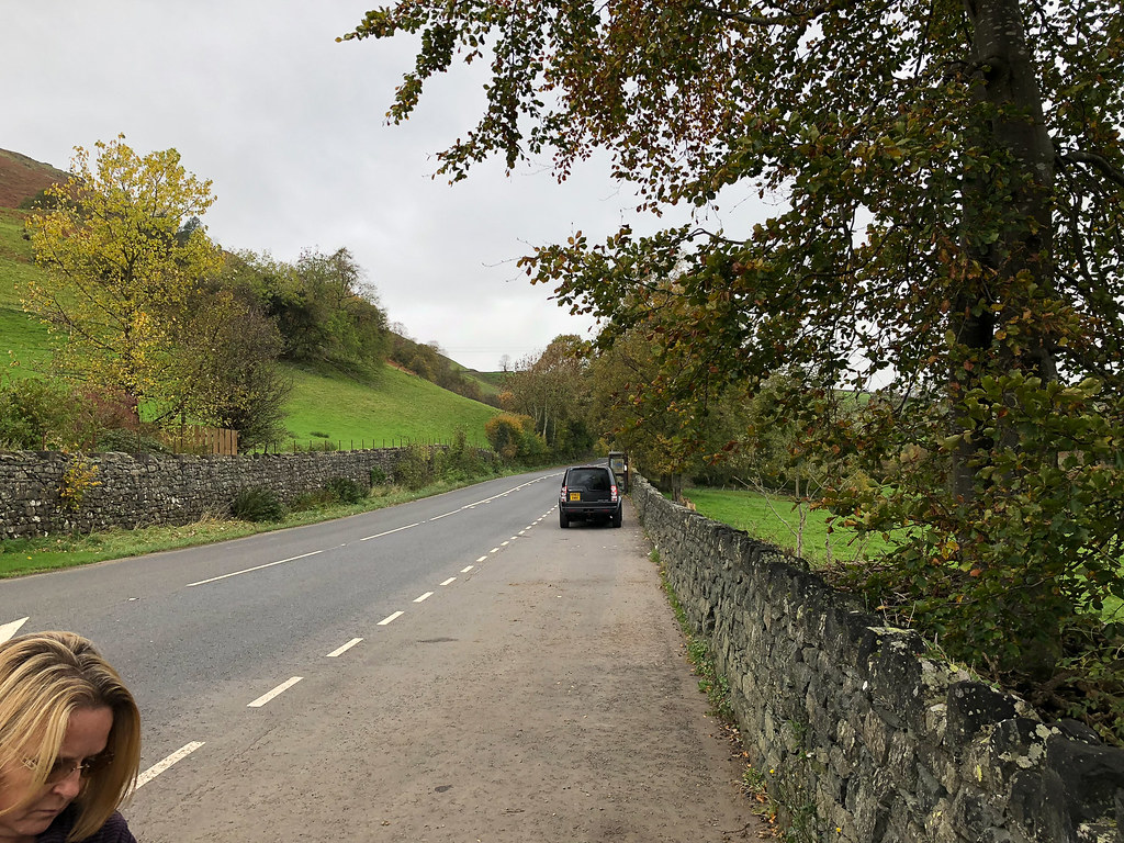
Best we could do was at the phone box at Dale Bottom, a little way away. Unfortunately this meant that the walk started along the busy A591 with no footpath - not much fun!
 Finally off the road
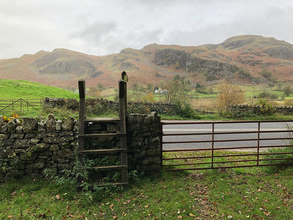
Soon we reached a stile (and a locked gate) and were able to get off the road. The path from here was very poor, wiggling through bracken and with the left foot permanently 6 inches lower than the right. It followed fairly close to the line of the A591 for quite a while, until finally we reached a wall gate where we turned right and finally started to ascend.
 Heading up the hillside
We followed the wall up as far as a large boulder, where the Wainwright instructions said we should branch left to a grassy shelf below Goat Crag.
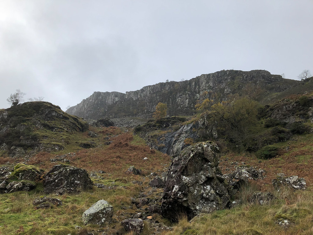 Goat Crag
There was no obvious path at this point (or at many other points between here and the summit). We did eventually find something that looked like it could be a path, and followed it until we were level with the end of Goat Crag, but after that it was all guesswork / checking the GPS to make sure we were heading in approximately the right direction.
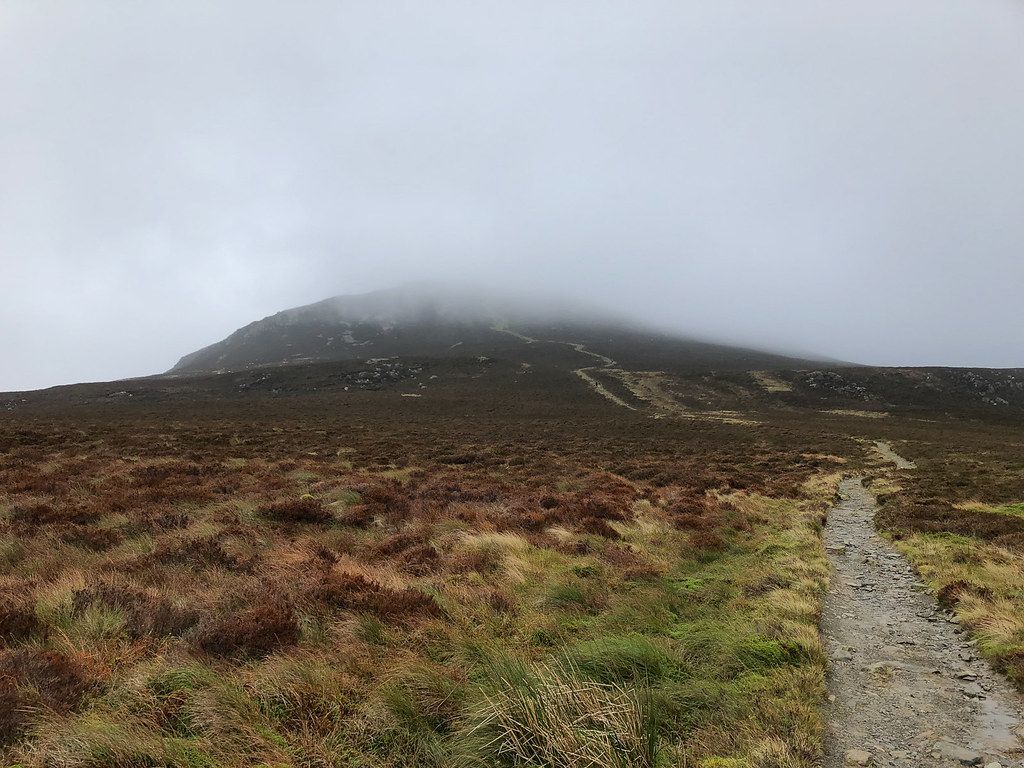
No photos for a while as we were mostly in the cloud. After a few false summits, and hurdling a wire fence that did not seem to have any stiles provided anywhere, we finally got to the top. There's a nice shelter there where we stopped for lunch.
I had originally expected we would head down via a similar route, but did not fancy the long bracken path beside the A591 so looked for an alternative. We decided to descend via the ridge and Walla Crag to Rakefoot, and thence via a footpath over to the A591 reasonably close to where the car was parked.
 Looking back at the top
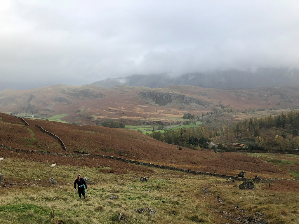
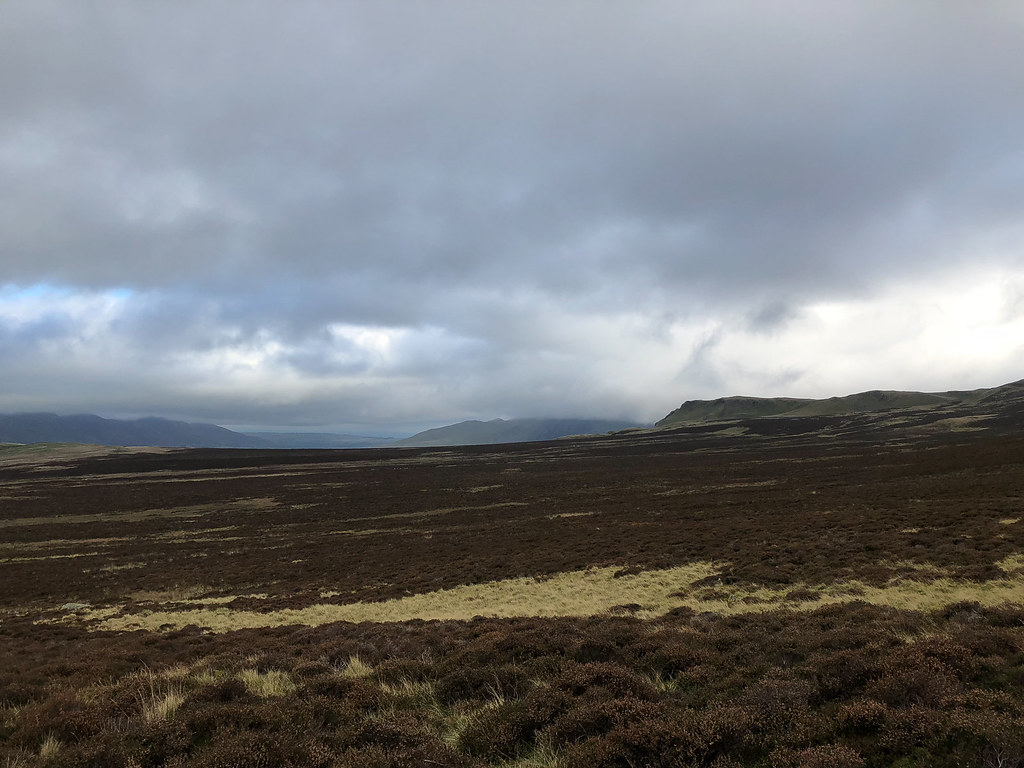
As we descended, the weather started to improve and we finally started to get some views.
 View towards Helvellyn
Path down to Walla Crag was wide and easy to follow, which made a nice change from the ascent!
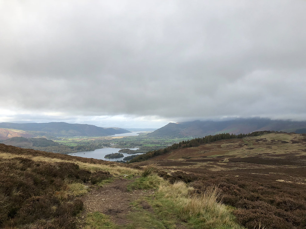 Derwent Water
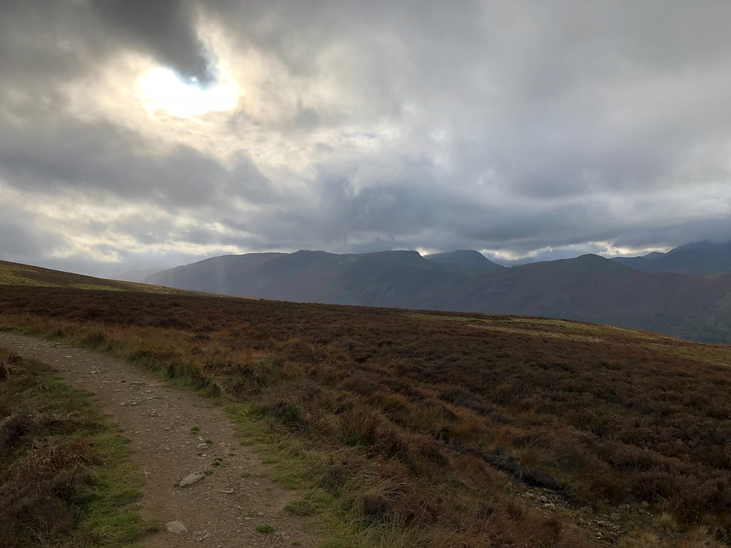 View towards Dale Head
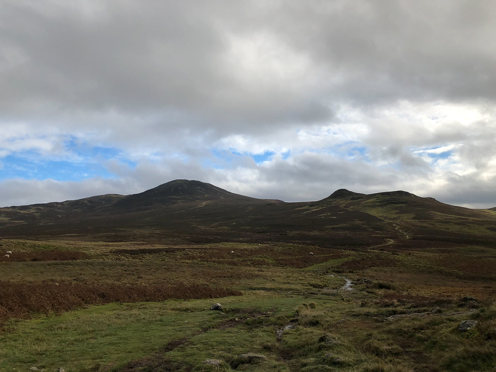 Summit finally clear
Unfortunately the footpath from Rakefoot towards Castlerigg Stone Circle was blocked by a field full of cows, calves, and a bull, so we decided to take the long way round on the road. Fortunately there was a pavement beside the A591 all the way, otherwise this would have been most unpleasant!
