free to be able to rate and comment on reports (as well as access 1:25000 mapping).
First of all a bit of pre walk history. For all of 2019 and most of 2020 Ann, Martin’s wife, has been suffering from a foot ailment in which the heel and sole of her right foot was very sore and tender, an ailment that I can’t, or won’t attempt to pronounce and is very difficult to cure. Due to this, Ann, who is used to getting out and about on the fells and mountains, was getting increasingly frustrated by her inability to join us for our outings, when we were able to between the Covid restrictions, and being literally on a super lockdown did nothing for her well being at all. However by September of 2020 her foot was feeling somewhat better and E and I decided it was time to try and get her back out on the fells as she was by now feeling as though she never would again plus she was losing confidence in her ability to walk without pain. So this report in part is about Ann’s painful re-introduction back onto walking the fells.
So a plan was made to take her to a place that I had been to a few times before whilst dropping off Low Pike as a shortcut back to Rydal, a beautiful little place on Rydal Beck called Buckstones Jump where there is a large pool behind which there is a very long, rounded and exposed rock barrier seemingly holding back the waters of the beck behind it. There is soft green grass aplenty to sit on and tumbling waterfalls cascading down through the rocky trough as it leaves the pool.
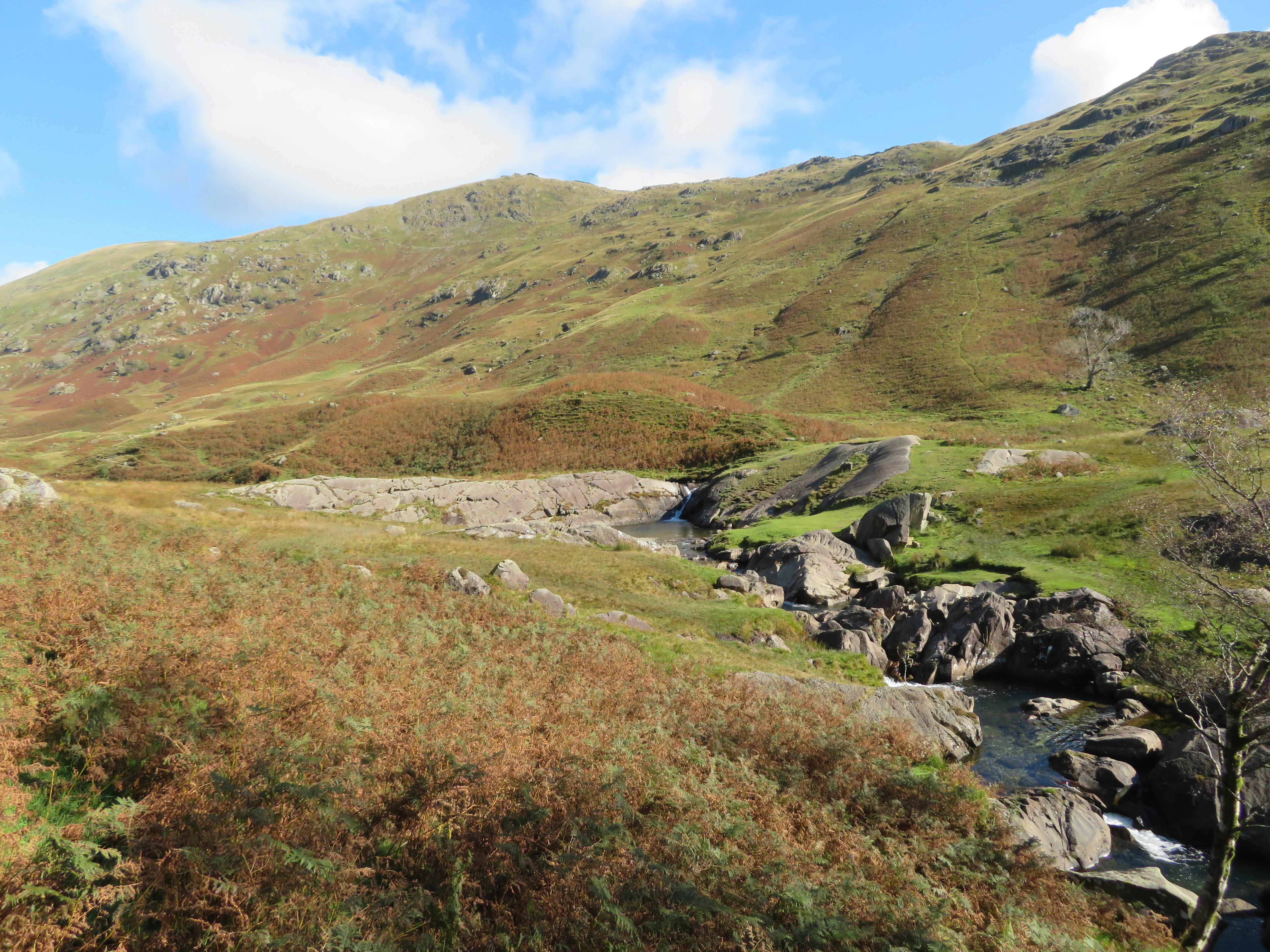 Buckstones Jump Waterfalls
  A great spot for a picnic
  A beautiful place for a swim
 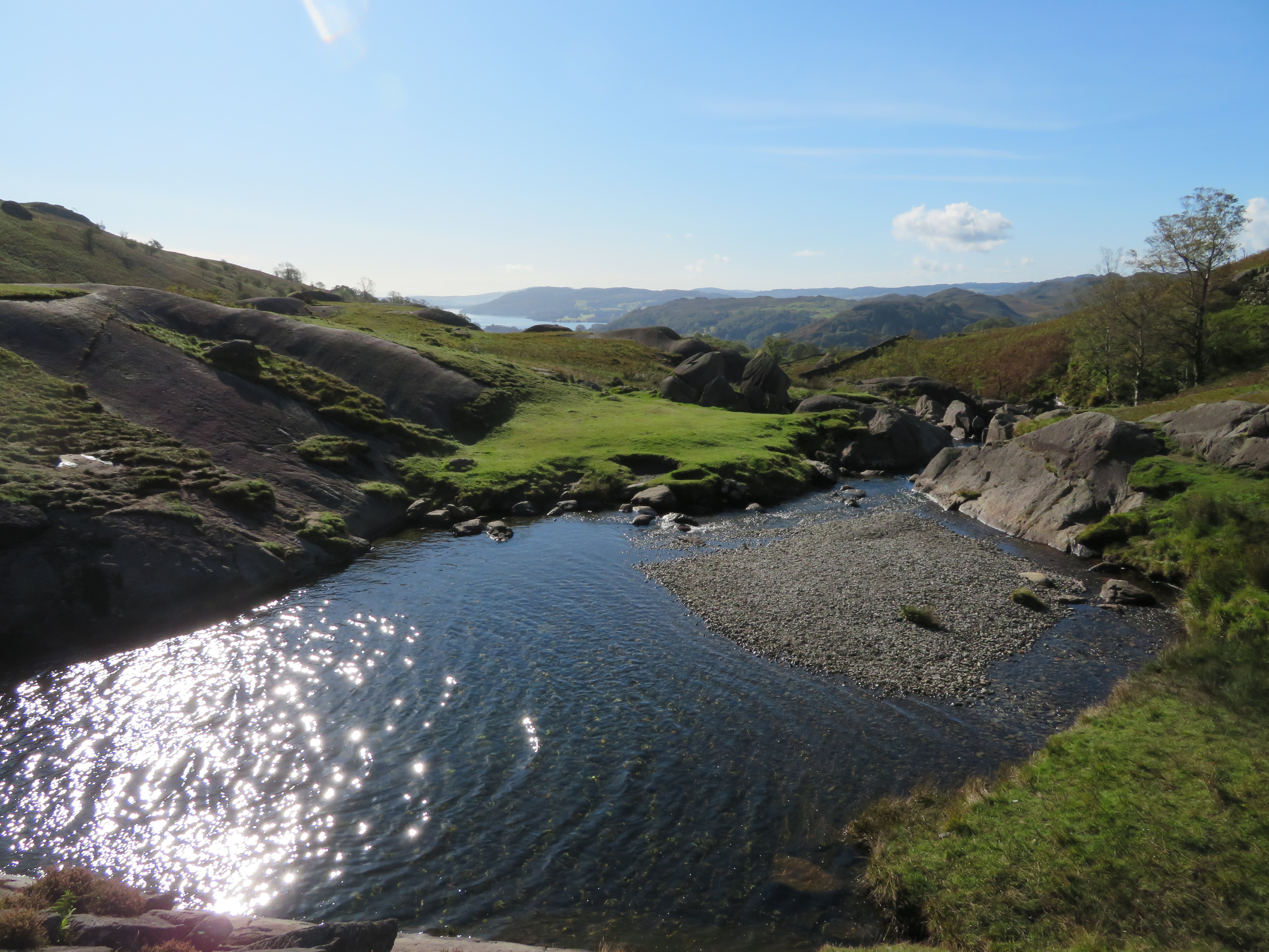 Sparkling pool
 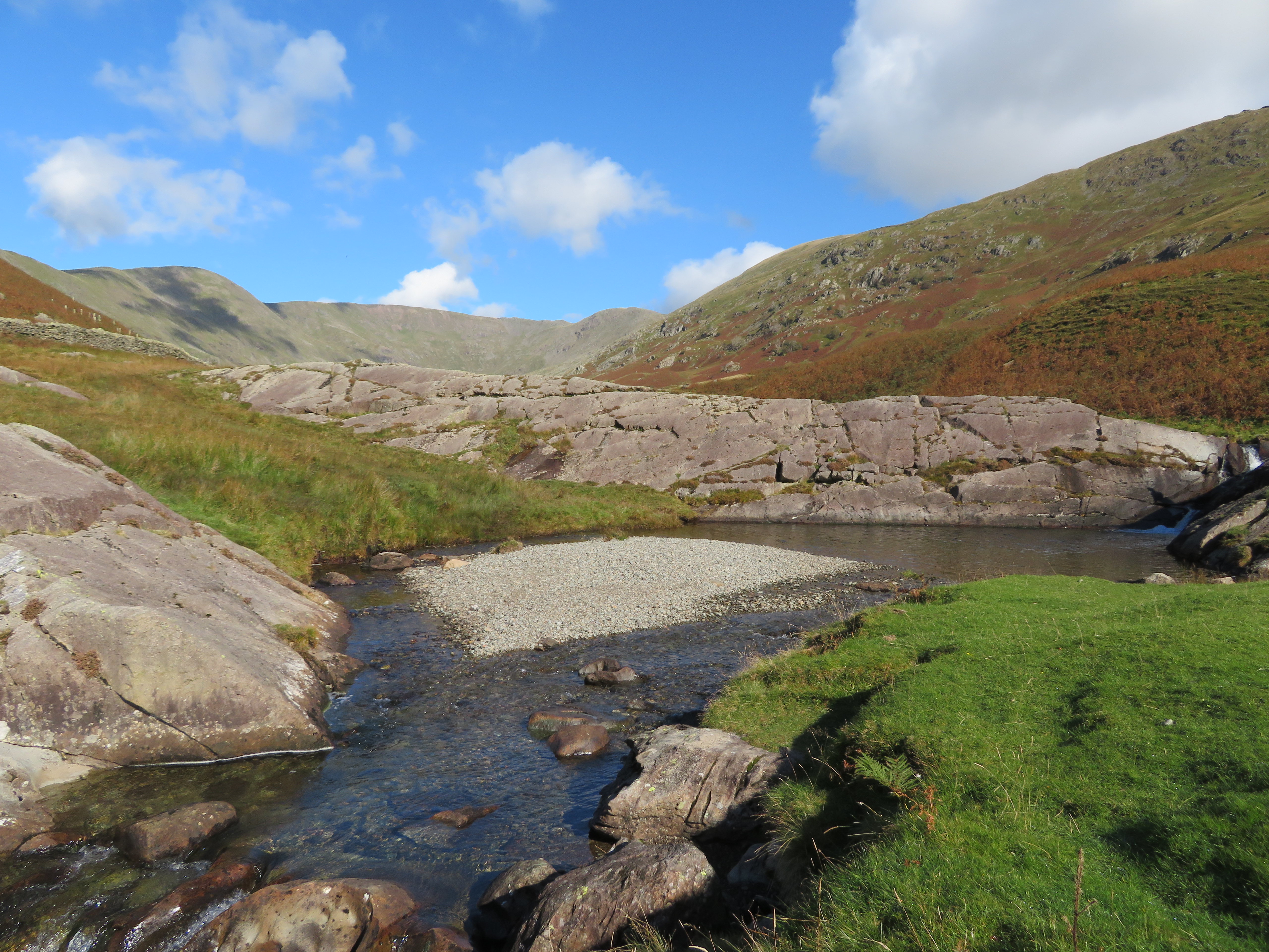 Buckstones Jump frontal
  Rushing waters below the Jump
 Well, we all had a chat and decided that we would go for it at her own pace with plenty of rests as, and when, she needed one. Anyway this report is not really about that particular 5.5 kilometre walk but suffice to say that Ann coped well enough to want to get out again and extend the length slightly so over the last few months as and when we were allowed she has now built up to walks of 17 kilometres or 11 miles in old money. She has missed out on a lot of Wainwright’s and now would like to catch up with Martin to even up the numbers giving E and I a list of those still to do, Great Calva and Knott being two of those.
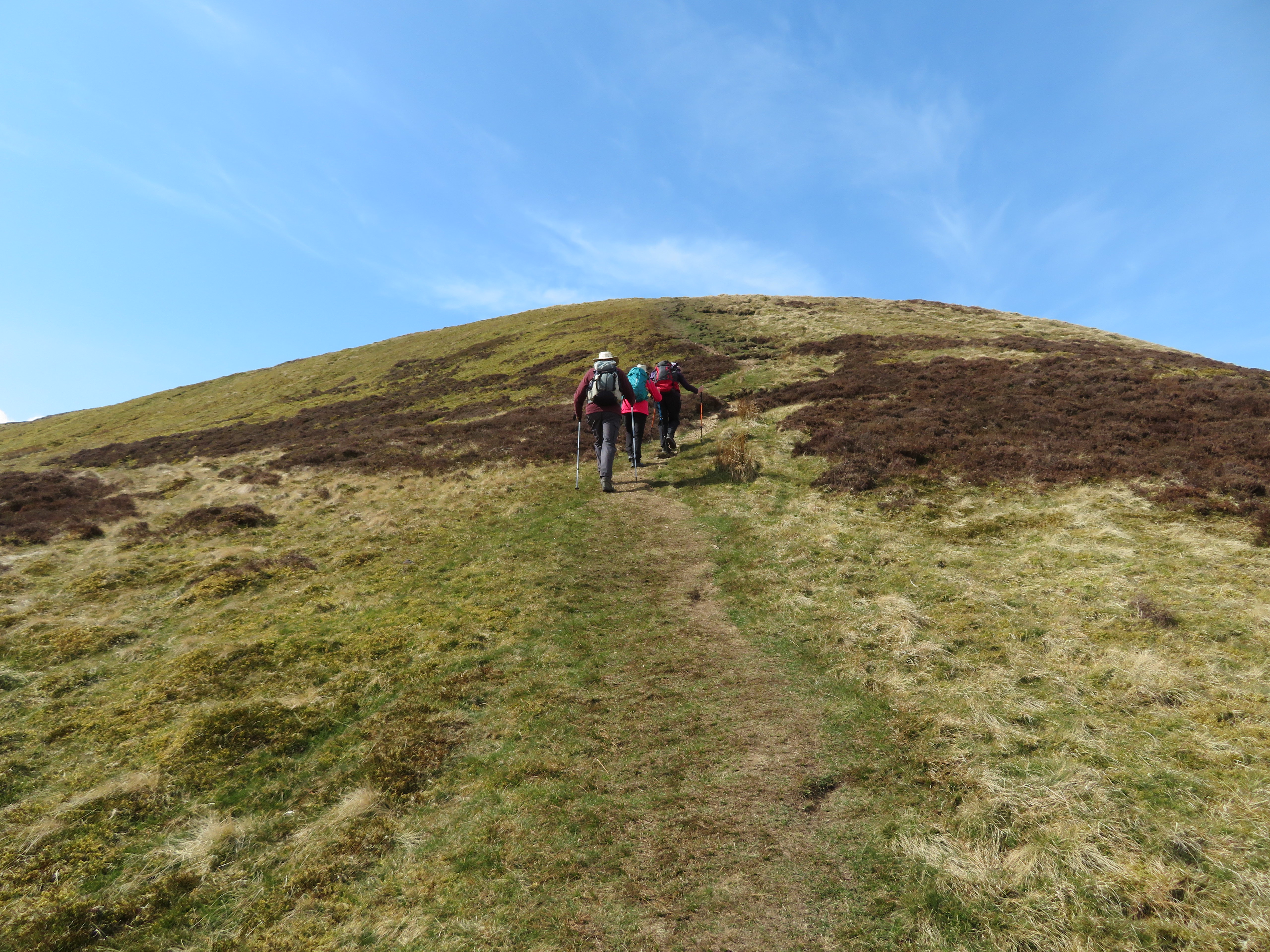
Now that Ann has got back into the swing of things we get out twice a week and to stop us men having the monopoly on the choice of walks we have a rota where each of us choose the walk for that particular day. Although today’s walk was Martin’s and not one of E’s she had looked ahead a few days and unknown to Martin had chosen these two fells as her offering for the next walk after Martin’s choice of today. So ‘Sod’s Law’ came into play when he also chose these two fells as his choice, a walk that has subsequently become known as ‘the stolen walk’.
The forecast was for decent weather today and it wasn’t wrong as the sun was sending its rays from a gloriously blue sky although there was a niggling cold breeze that encouraged the wearing of our coats, at least for the time being. We drove over to Mosedale at the southeast corner of Carrock Fell from where we then turned west along the metalled lane that gives access onto the Cumbria Way and fells from the site of the old Carrock Wolfamite/Tungsten/lead mine that was first worked in 1852 until the mine closed in 1981 when many of the buildings were demolished.
There are a couple of parking places and we chose to use the one on the north side of the River Caldew at NY331 326 as it’s quite level as opposed to the one that is a short distance along the Cumbria Way that has quite a few large rounded stones sticking out of the ground and this one is at approx NY326 326.
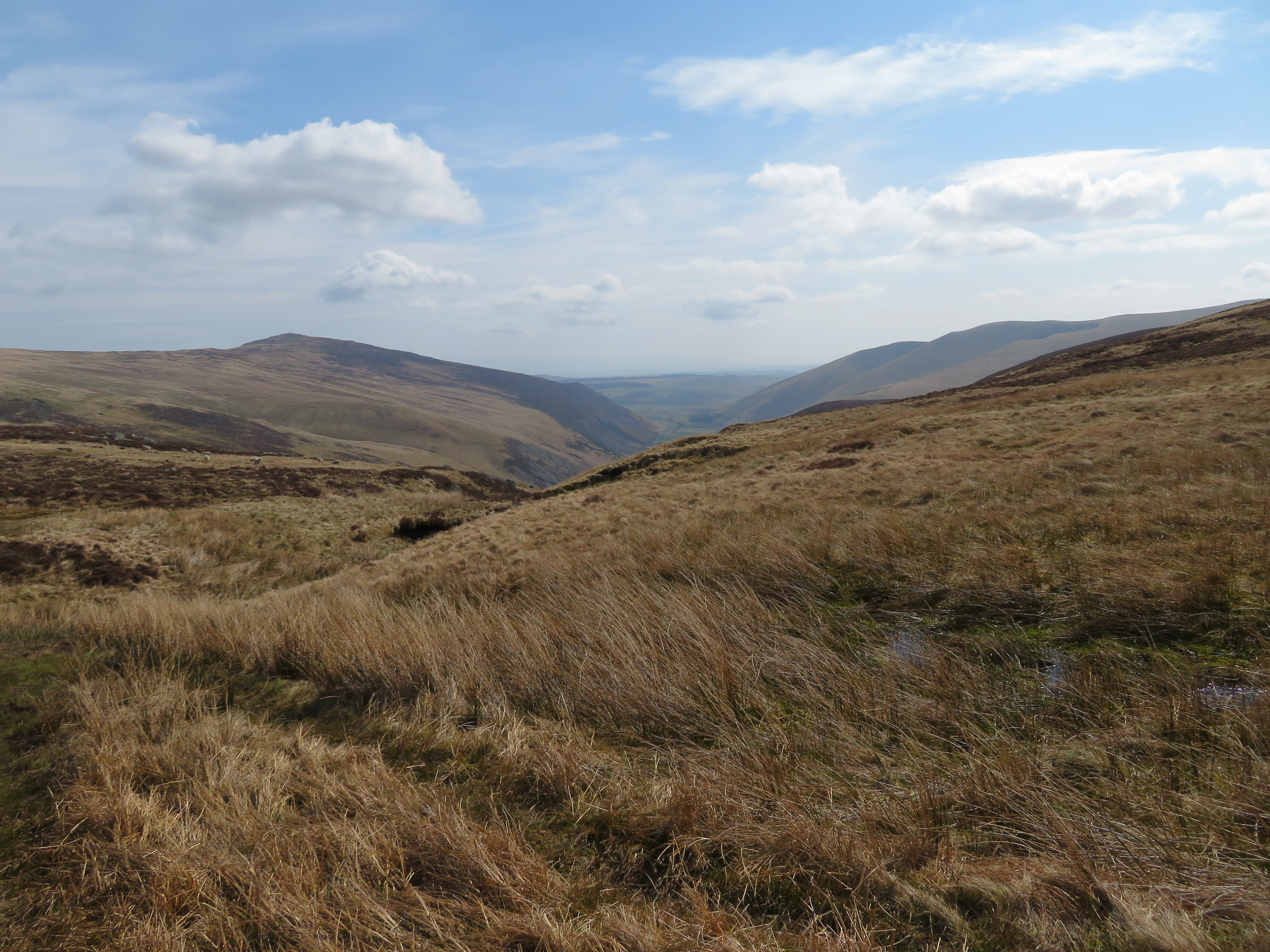
The four of us were bagged and booted by 9:15am and my first photo was of a view of the lower slopes of Coomb Height that has a path running more or less straight along its ridge, a path that is not shown on the OS Map but if used will take one all the way to the summit of Knott. It’s quite a climb up to Coomb Height especially in the lower reaches before the ground eases off for the much easier walk to the summit of Knott.
 Looking along the River Caldew towards the east ridge of Coomb Height
We set off in a north westerly direction taking the old metalled mine track that leads up to the remains of the old workings and following the course of Grainsgill Beck from which we would leave once we had reached the odd named watercourse of Arm O Grain although I suppose it’s quite obvious why it is so named.
 The old Carrock Wolfamite Mine road
Within just a few minutes we had arrived at the site of the old tungsten mill and mine entrance that is duly blocked by a sturdy barred metal gate and fancy lock. There was a good amount of water running into it and all there is to see is a few metres of the low and narrow tunnel before it takes a turn to whatever dangers lie within it.
 Site of the old mine workings and cottages
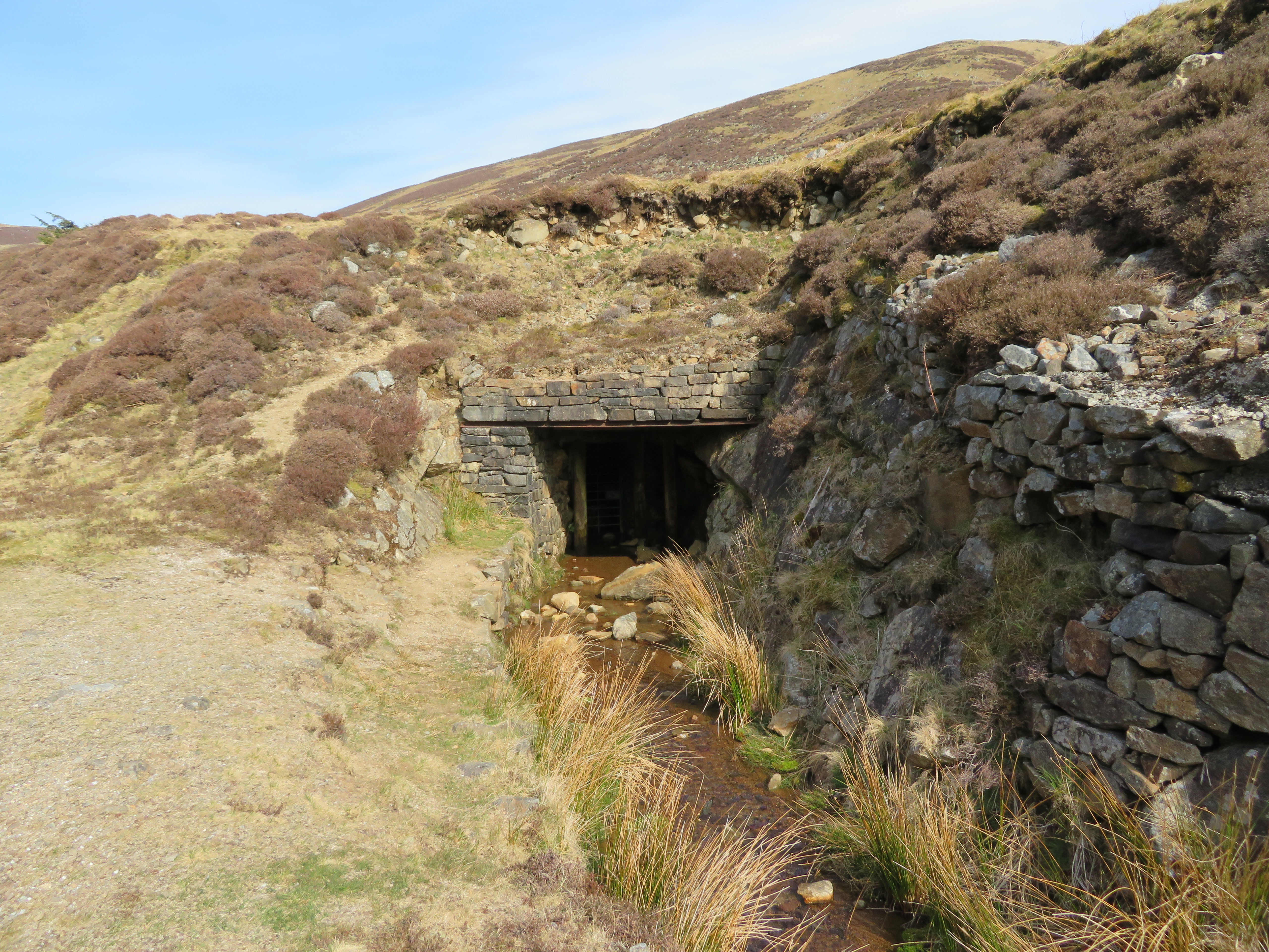 Mine or adit entrance
 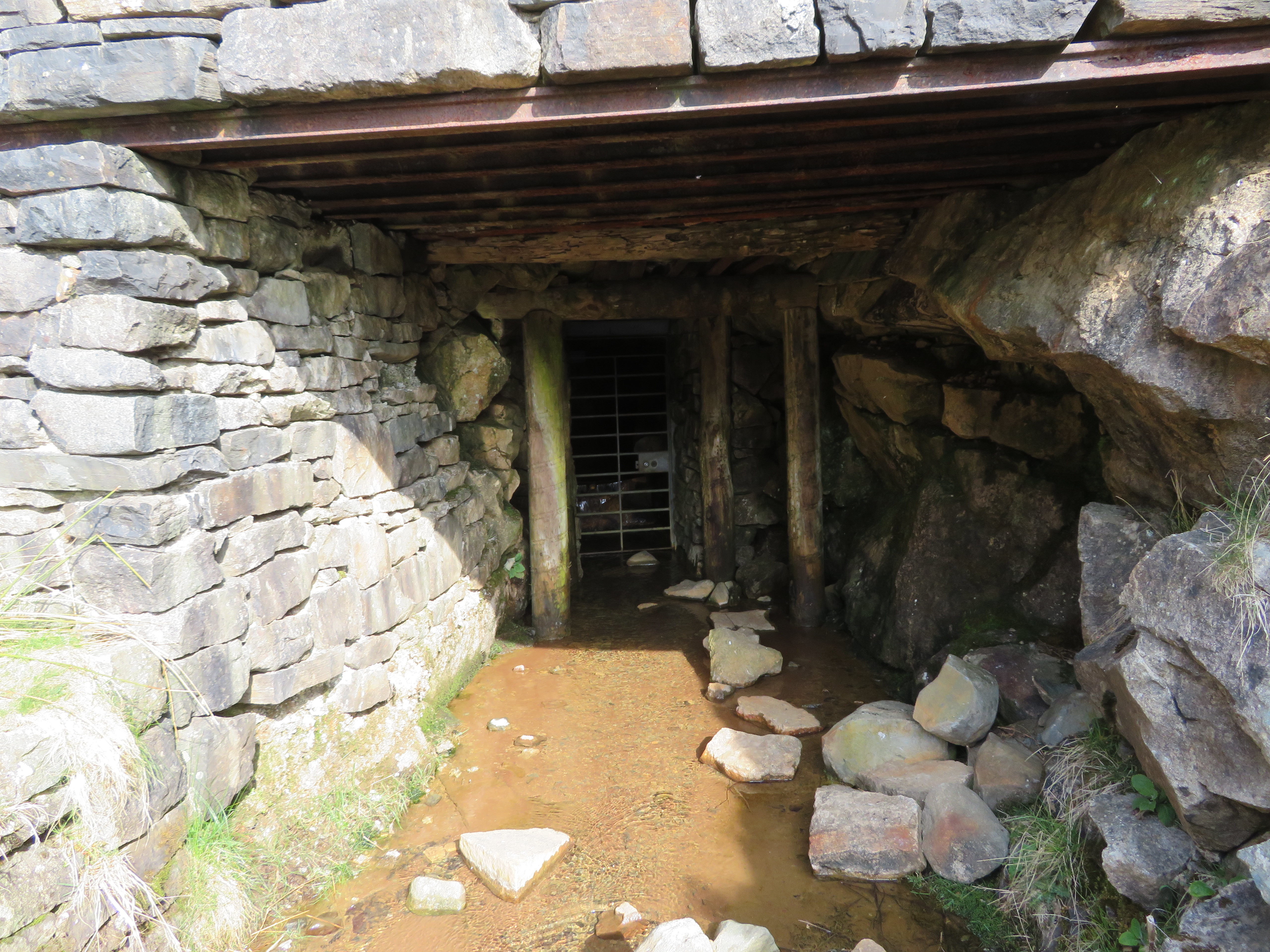 Mine or adit entrance
 We had a poke about noting the information boards giving both warnings of prosecution if found mineral collecting without a permit and a run down on the mine’s history. Behind the old tungsten mill there is a man made ditch that runs from the skyline down to the beck and the odd white warning sign of danger from old shafts can still be seen. When walking up the ridge to Coomb Height this ditch is crossed over.
 Artificial ditch with hidden shafts behind the old mine mill
 Upon leaving the old mill and mine behind we now took to the narrow path that climbs easily alongside the beck and although it is wet in a couple of places it is decent walking ground with the expected rocks here and there and walking alongside the crystal clear waters was a pleasant experience. A quick look back gave us a straight view along the beck towards Mosedale and looking forward we could see Great Lingy Hut on the skyline where we would be having our first break.
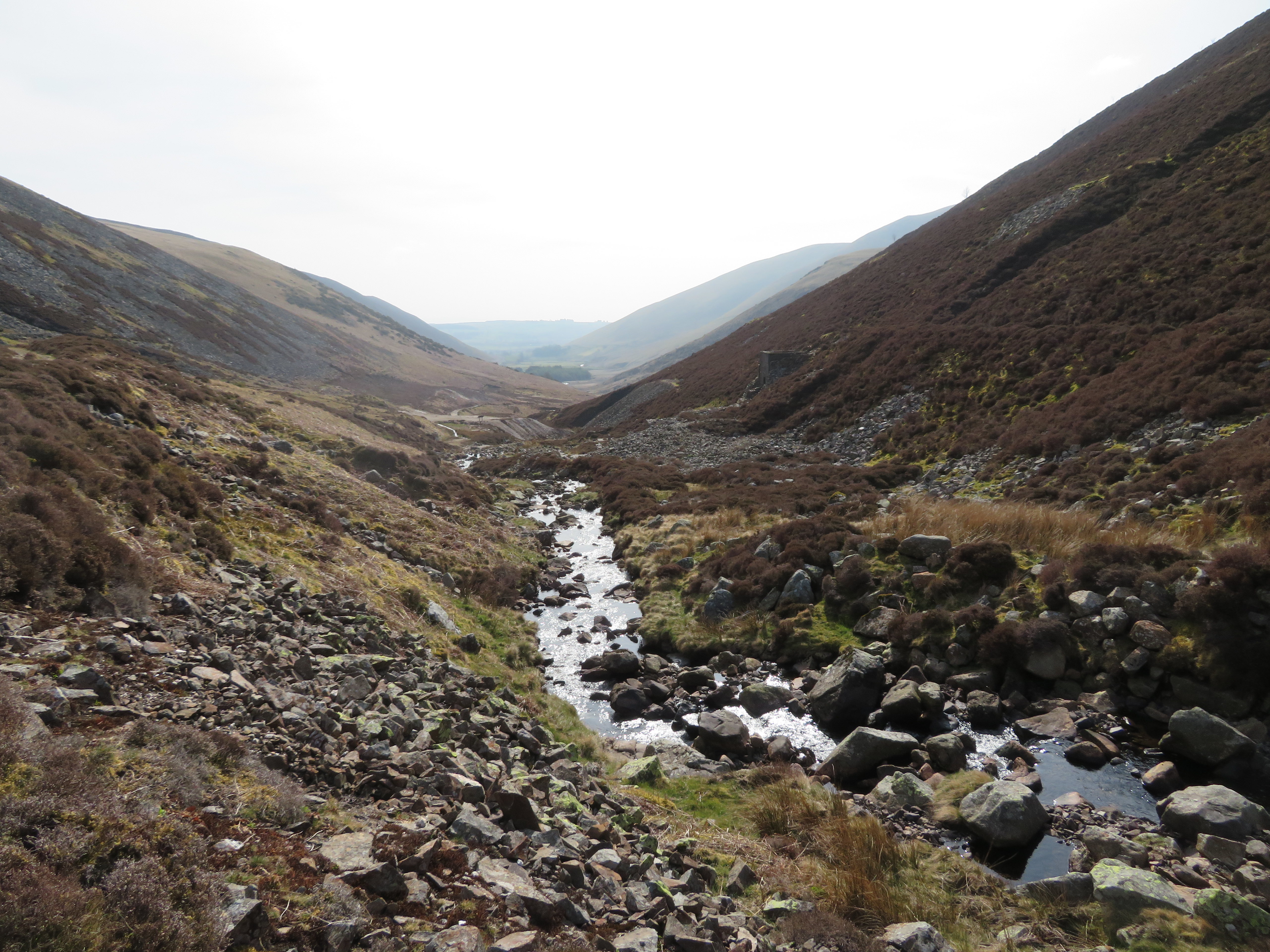 View east along Grainsgill Beck towards Mosedale
 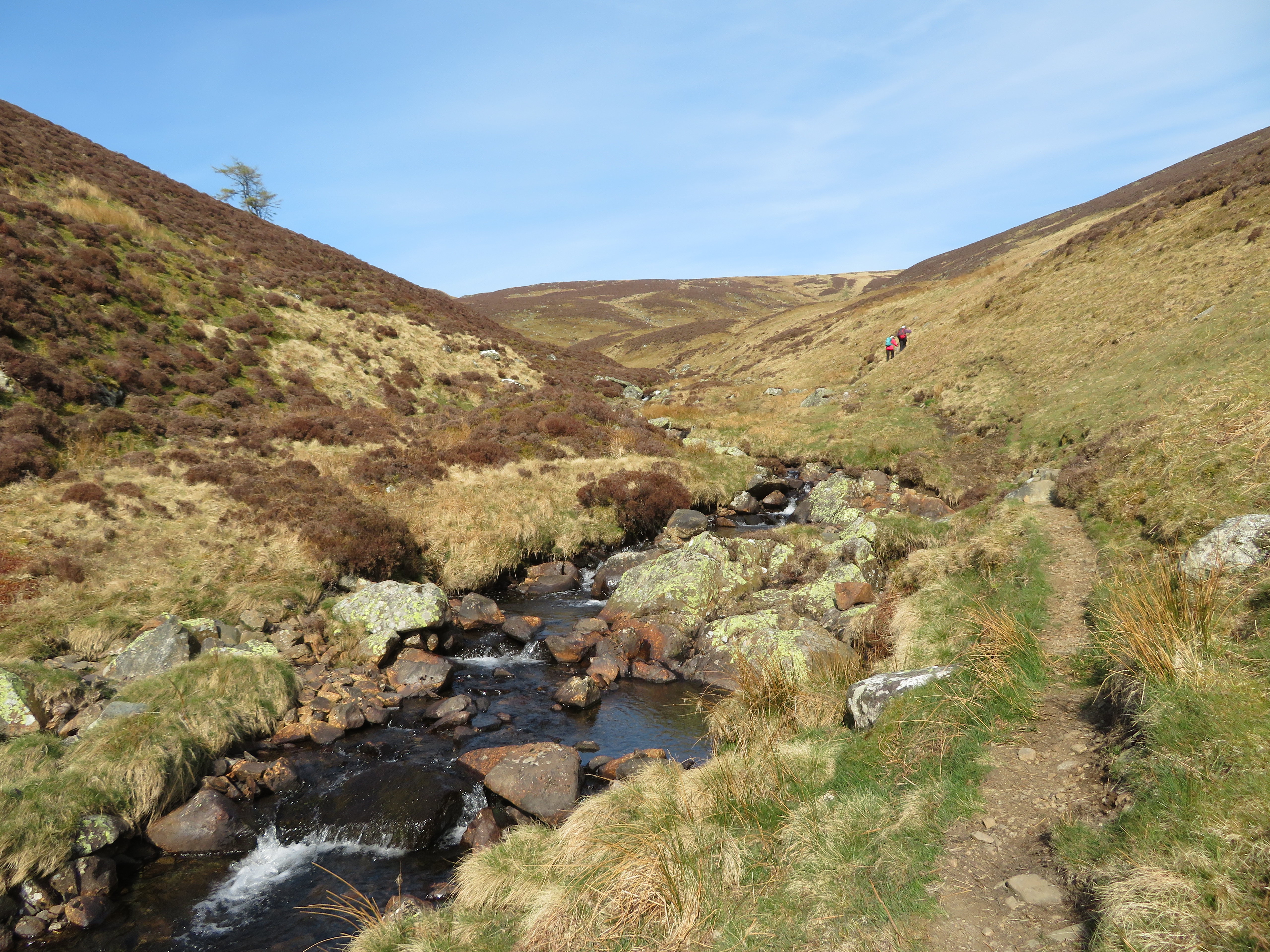 Grainsgill Beck with Great Lingy Hut on the skyline
 At about the 400 metre point we decided to leave the beck behind and climbed up the short bank to gain the alternative path that runs along the fell a good few metres away from the beck. This path is more like a green lane than a path and after the initial short steep bank from the where we crossed Arm O Grain it was good steady walking and the easy gradient soon had us at the 500 metre point.
 A good and green lane all the way to Great Lingy Hut
 A little higher and only a short distance from the bothy we stopped for a look back and now had an extensive view down to Mosedale and across the surrounding fells with Carrock Fell never out of our sights on most of this walk although Bowscale Fell to the right was also holding its own to attain that favourable position.
 A view back along Grainsgill Beck
 Another twenty minutes of climbing had us sat in the bothy - that has had a makeover with more separate sleeping benches in place of the single wide platform plus a new door that would grace many a dwelling in a more urban environment - refuelling before setting off for our next fell, Knott looking down on us from way over to the west.
 Great Lingy Hut
  A distant view of Knott
 Another good wide ‘lane’ was now followed southwest losing height as we approached near the head of Grainsgill Beck from where a look back showed the hut on the skyline...
 Looking back to Great Lingy Hut from Grainsgill Beck
 whilst further over to the east across the drab brown fells of the northern landscape we could see the ever present shape of Carrock Fell forming the skyline along with Bowscale on the opposite side of the dale.
 Carrock Fell and Bowscale Fell from Gunner Well
 So now started the steady uphill walk west and we’re fortunate that we have had no rain for a good few days as the ground is unusually dry for this neck of the woods.
 On our way to Knott from Gunner Well
 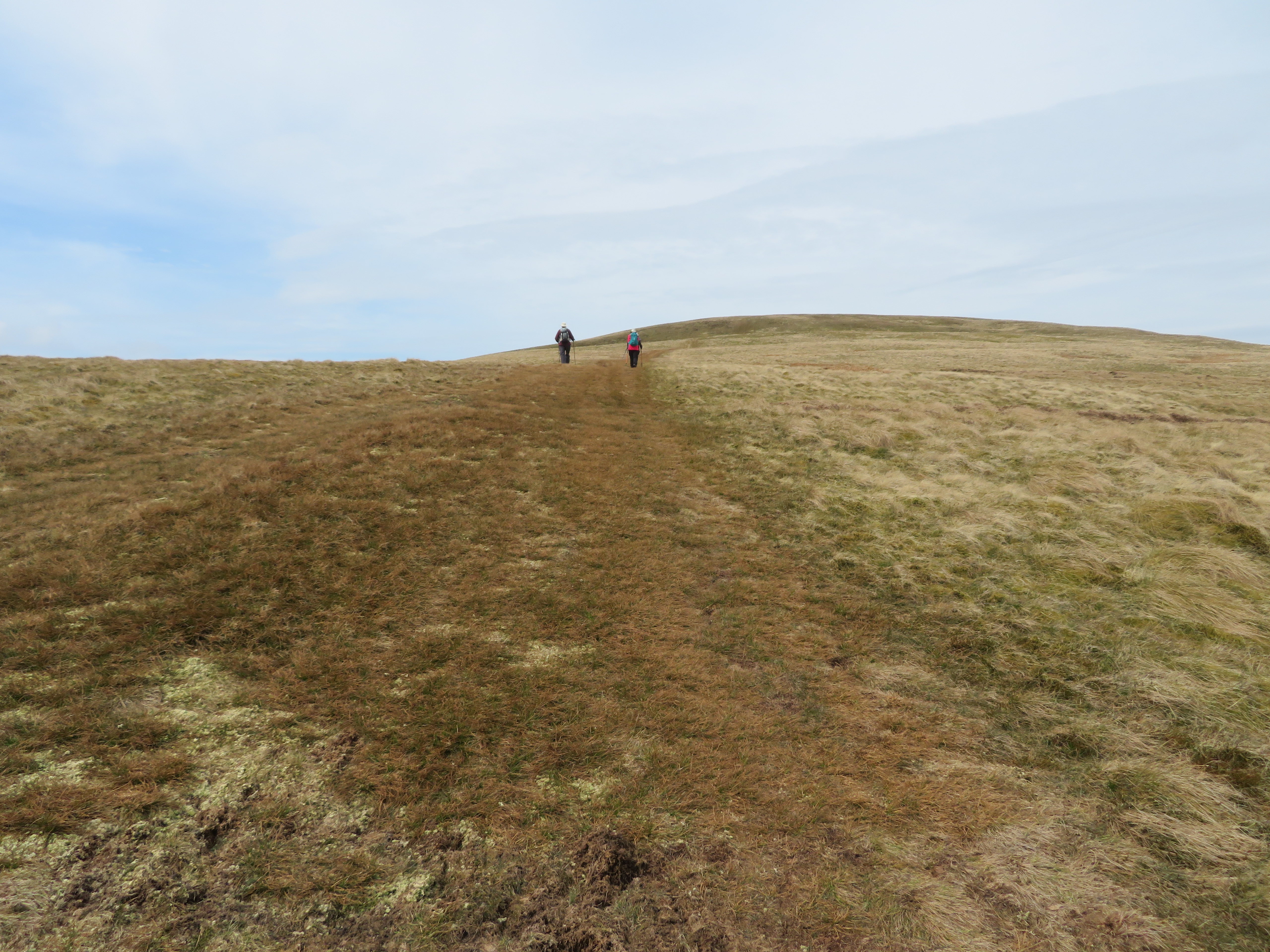 Passing over Rigg on our way to Knott
 We made good progress up to the summit and now we had a superb view towards the east but as we climbed we appeared to be losing the sun of earlier this morning to clouds of varying colours that would now stay with us for the remainder of the walk.
 High Pike - Miton Hill - Carrock Fell behind Great and Litlle Lingy Hills
  Some Northern Fells from Knott summit
 We lingered awhile taking in the views before setting off southwest along the wide grassy path as we descended the long drop off to the head of Wiley Gill...
 A view back towards Knott summit
 with Great Calva firmly in our sights with a backdrop of Lonscale Fell, Skiddaw and Blencathra showing through the light haze.
 North eastern face of Great Calva
 Bassenthwaite and the furthest of the Northern Fells were to be seen over Burn Tod to the west and northwest respectively.
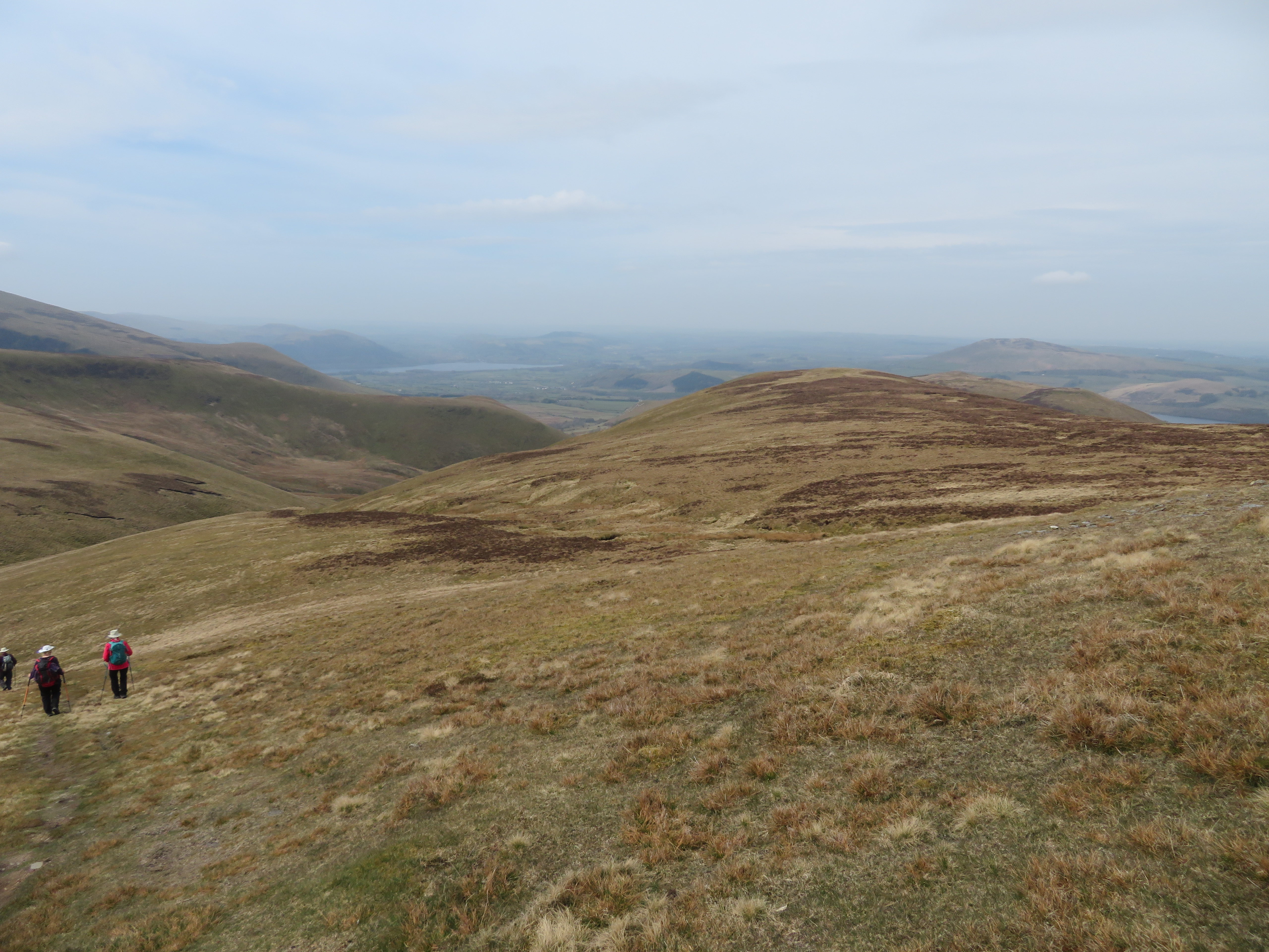 The rounded top of Burn Tod with Binsey behind
 The drop off continued as Great Calva loomed ever larger and we approached Wiley Gill where we would have another break.
 Approaching the head of Wiley Gill
 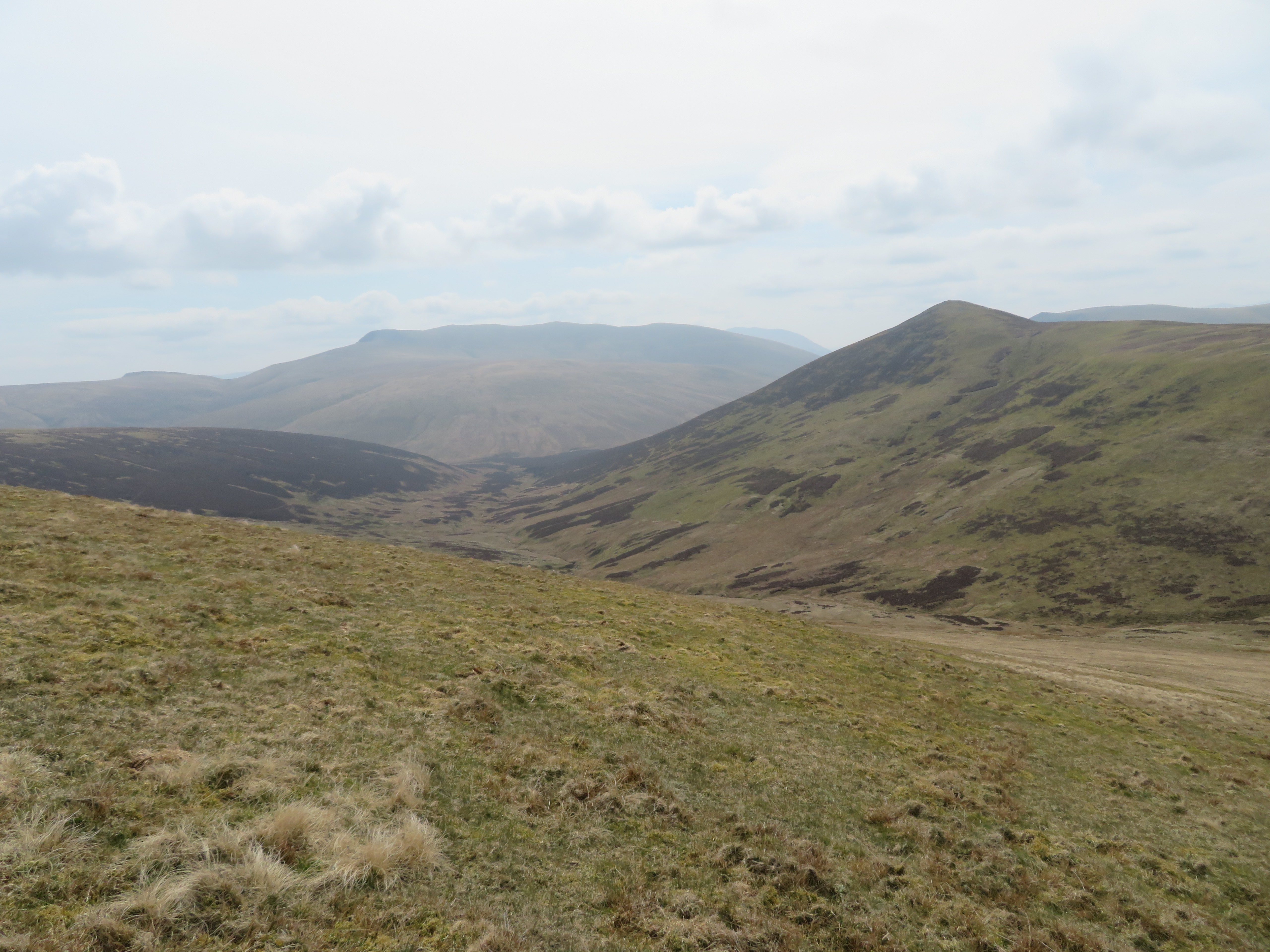 A hazy view to Mungrisedale Common and Blencathra
 The head of Wiley Gill was just a dry stony hollow where we gained shelter from the ever present cold breeze to refuel before taking on the climb up to GC.
 Knott from the head of Wiley Gill
 Until this point we had seen perhaps four other walkers but as we started the ascent up to Great Calva there was more people about including fell runners so it looked like Calva was a popular destination for many today. We reached the fence and passed over it using the not fit for purpose stile to get our feet on Little Calva with the now low looking Great Calva over to the SSE and a steady walk over relatively level ground before the short climb to the summit.
 Great Calva from Little Calva
 As one drives west along the A66 a view of Great Calva can be seen showing as a proper mountain shape, akin to something in the Austrian Alps or similar places, poking up between Blencathra and Lonscale Fell, a real point of a mountain but get on top and its one long undulating and rocky ridge but it also gives fine views of the Northern Fells in all directions with a long view to the south with a hint of Thirlmere and surrounding fells.
 Knott with Brae Fell peeping over the skyline
  View north to south on Great Calva
  The Skiddaw group from Great Calva
  A hint of Thirlmere in the far distance
  Mungrisedale Common and Blencathra
 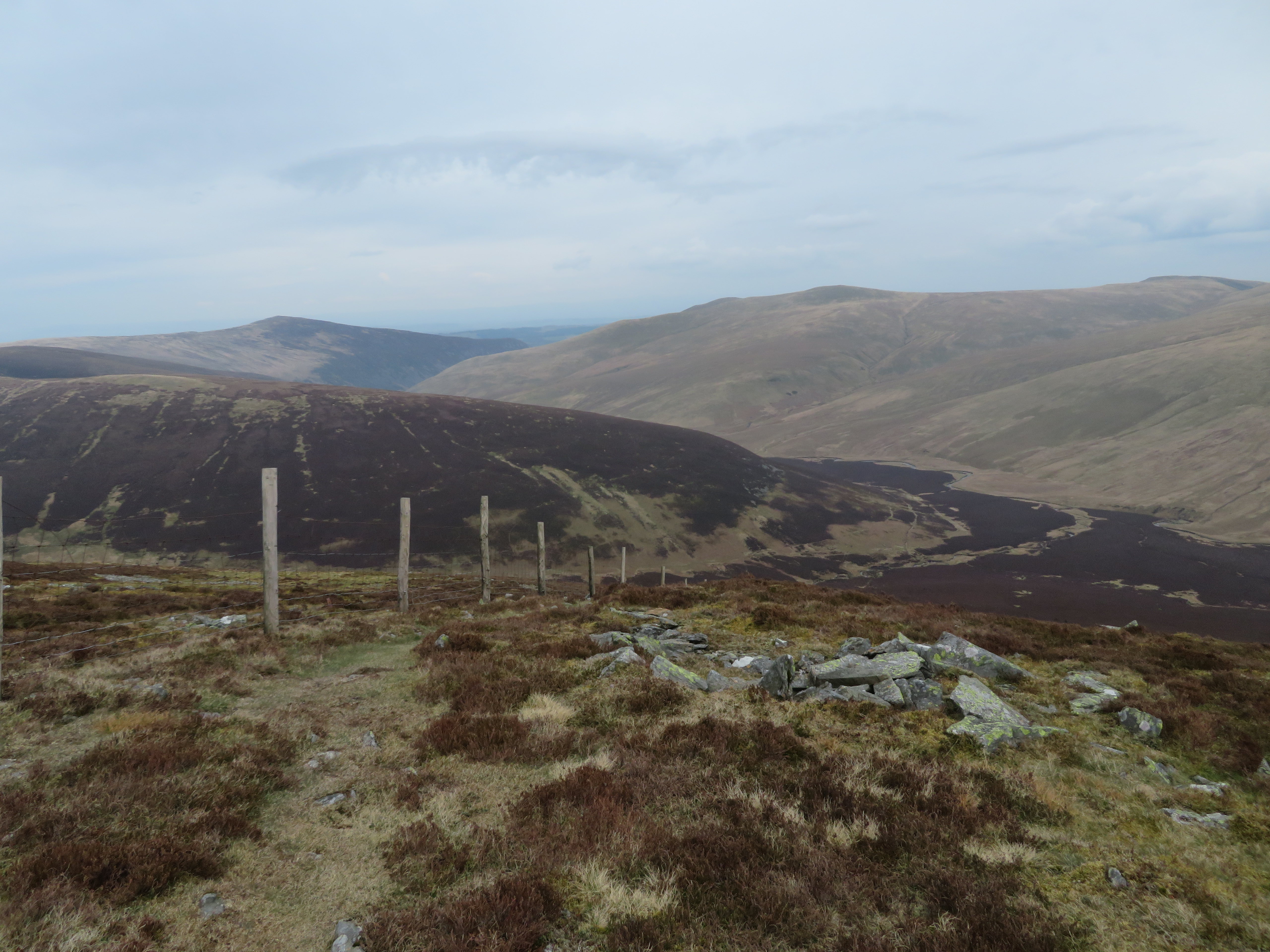 Carrock Fell and Bowscale Fell
 We lingered just long enough to grab some photos and then we off down to the south and the Cumbria Way for the easy and uneventful walk back to the cars.
 Descending the north face of Great Calva
  Cumbria Way to Skiddaw House
  Great Calva and Little Calva from Skiddaw House
  Northeast along the Cumbria Way
  View back to Skiddaw House and Lonscale Fell
  Carrock Fell and Bowscale Fell
We made good progress along the Cumbria Way and decided to have a last break to see off the last of our food and drink at the sheepfold that sits on the west side of Wiley Gill just before it makes its way into the River Caldew.
 Sheepfold at Wiley Gill
  View back to Skiddaw
 There’s always a good showing of gorse flowers in spring on the lower southern slopes of Carrock Fell and this year’s offering did not disappoint.
 An abundance of yellow flowering gorse
 Well that was another decent walk done and dusted and although it’s not too long since I was up on Great Calva with a report posted it made a nice change to get back up there via Great Lingy Hut and Knott with unexpectedly dry, or relatively so, underfoot conditions on the usually wet areas that have to be crossed over on the way to Knott. Ann has coped well with just a hint of pain in her foot nearing the end of the walk but on enquiring the day after she said she was fine so obvious improvement there then.
