free to be able to rate and comment on reports (as well as access 1:25000 mapping).
Sub 2k Marilyns: Whitbarrow.
Date: 18/09/2021.
Distance: 6km.
Ascent: 200m.
Time: 2 hours, 20 minutes.
Weather: Grey and humid.
...or maybe not that hidden if you are familiar with the journey west from the M6. While most of the tourist traffic thunders straight up the road to Windermere, the road along the bottom of the National Park towards Barrow is also busy. There are a couple of limestone escarpments here, quite different in character to the rest of the Lakes. Whitbarrow is the largest and it also happens to be a Marilyn. I first became aware of the area after doing an orienteering course on it in the late '90s - in fact I went to events at quite a few places along the southern fringes of the Lakes. It seemed like a handy short walk for Jackie and I on our way home from Langdale - we were going via a visit to my aunt near Leeds.
It was tipping down in Langdale, but by the time we had missed various turnings and pulled up by some old kennels at Witherslack, it was dry and grey. The way up took us across a field of cows and into the woods. Once we started going upwards, it was a steep but short shift to the edge of the summit plateau.
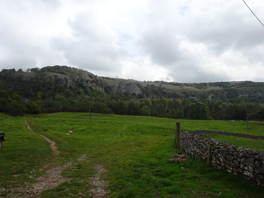 Chapel Head Scar
 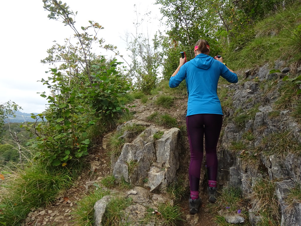 The path up
  Emerging from the trees
 The weather was a bit grey and hazy for the views to be too distant, but we could see Morcambe Bay and Arnside Knott on the far side. The plateau has a nice open feel even though there are scattered trees on it, and we strolled along the edge for a bit before heading inwards to the summit cairn.
 South across Milnthorpe Sands to Arnside Knott
  North across the Winster Valley
  Summit plateau
  Arnside
 There were quite a few people around on top, so we carried on north until we met a junction of walls. We followed the wall west back to the edge of the plateau to drop back down to the woods.
 Us at the summit
  Some limestone on the plateau
  Guess which way the wind blows here?
 There appeared to be a cave entrance here. I couldn't actually work out if it was a mine level or a natural hole, but Jackie went in for a look. She couldn't see how far back it went.
 Jaxter in a hole
  Path back down
 A short, steep descent had us back in thick woodland - Witherslack Hall was nearby, but we saw nothing of it in our tunnel of trees. Predictably, Jackie began to run out of energy here so the last mile back to the car was a bit of an effort. A nice alternative to some of the more popular easy haunts in the Lakes though.
 Looking back to Whitbarrow Scar