
Helm Crag, a Wainwright too far
Hills done, Gibson Knott and Calf Crag
OS Map No 90
Start Grasmere Village, Grid Ref 339073
Distance walked 13 km’s
Height Gain 700 metre’s
8 April 2011
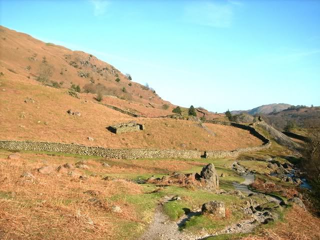
Leaving Grasmere around 8:00 am i walked through the village to Brimmer Head Farm then up a well signposted path to Helm Crag, from car to summit 1 hour.
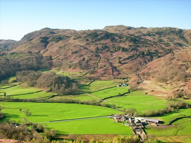
Looking down on Brimmer Head Farm
Looking up to the lower south top of Helm Crag
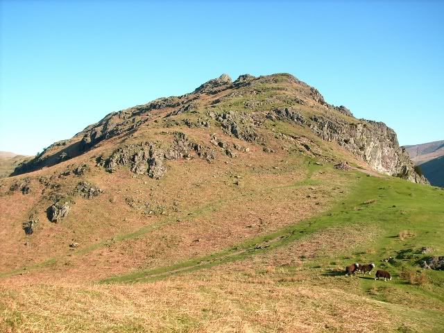
The lower south top of Helm Crag
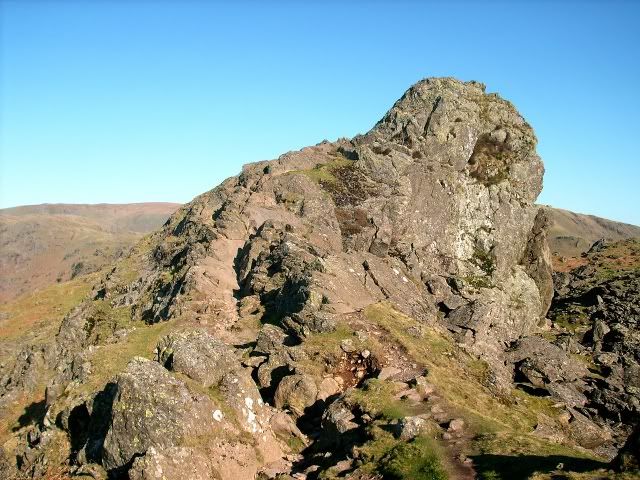
Helm Crag
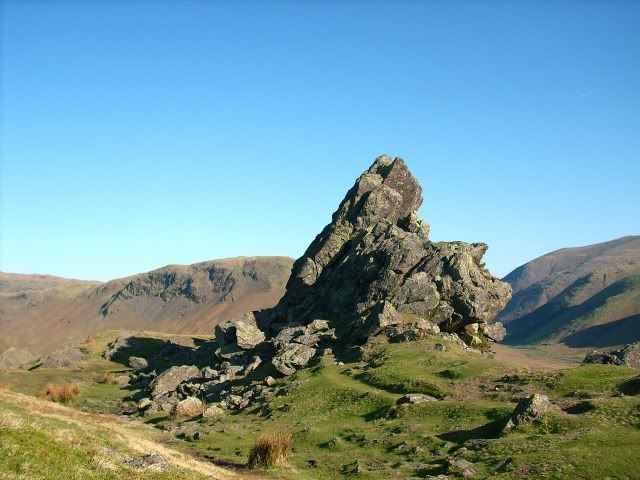
I made 3 or 4 attempts to scramble up to the top of the highest rock (the howitzer) by slightly different lines but couldn’t manage it. Half my brain was saying go on push it, take a chance, the other half was saying hey remember when you slipped off one of the Narnain Boulders, don’t be stupid…… sanity prevailed.
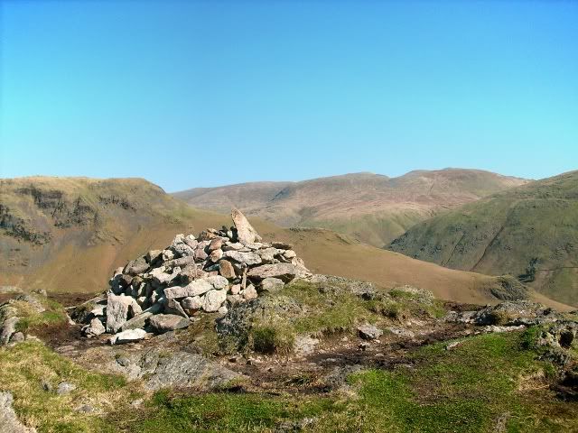
Summit cairn of Gibson Knott
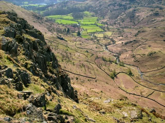
Looking down Easedale Gill
After about 45 minutes spent around the summit area i headed off for Gibson Knott 1 km to the north west. Calf Crag was the next Wainwright on route then lunch was had near a small tarn on Brownrigg Moss.
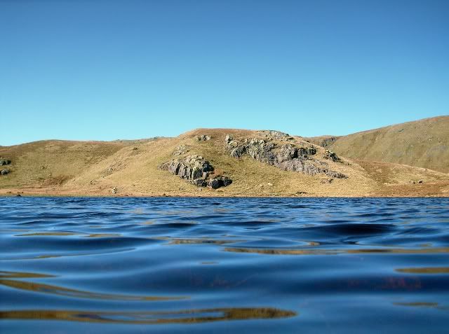
Reflection in pool near the summit of Calf Crag
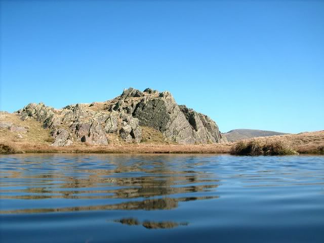
Reflection in pool near the summit of Calf Crag
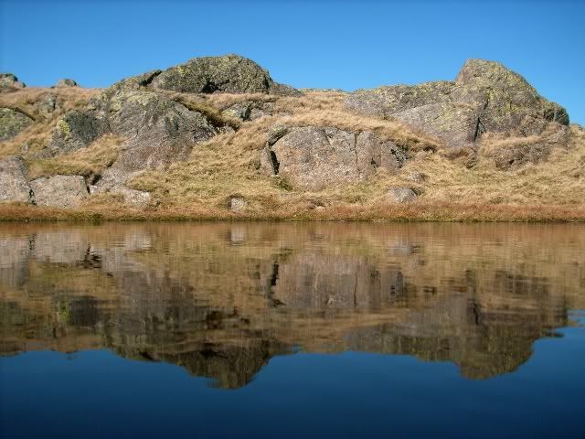
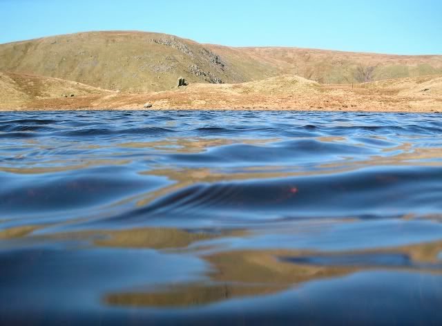
Looking across the small tarn on Brownrigg Moss
Looking across the small tarn on Brownrigg Moss
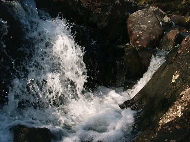
Not having been out walking much lately and with the day being hot i was struggling, so much so that after reaching Greenup Edge i couldn’t work up any enthusiasm to continue to High Raise so turned tail and escaped down Far Easedale Gill. It was a pleasant walk down Far Easedale Gill with a few small waterfalls providing diversions to take my mind off my aching legs.
Bridge over Far Easedale Gill
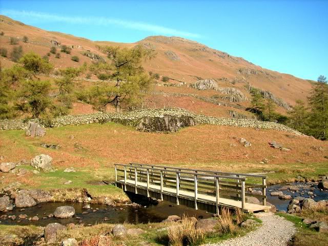
Bridge over Far Easedale Gill

Waterfall
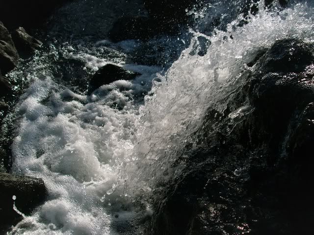
Waterfall
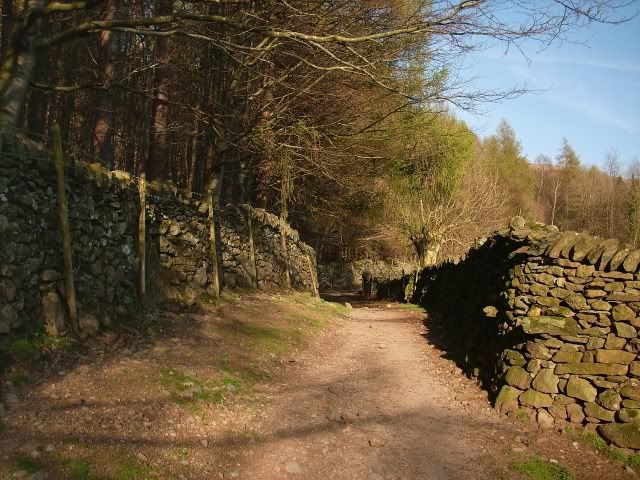
Finally a short stroll from Brimmer Head Farm and i was back at the car.
Path near the river
Nearing Brimmer Head Farm
OS Map No 90
Start Grasmere Village, Grid Ref 339073
Distance walked 13 km’s
Height Gain 700 metre’s
8 April 2011
Leaving Grasmere around 8:00 am i walked through the village to Brimmer Head Farm then up a well signposted path to Helm Crag, from car to summit 1 hour.
Looking down on Brimmer Head Farm
Looking up to the lower south top of Helm Crag
The lower south top of Helm Crag
Helm Crag
I made 3 or 4 attempts to scramble up to the top of the highest rock (the howitzer) by slightly different lines but couldn’t manage it. Half my brain was saying go on push it, take a chance, the other half was saying hey remember when you slipped off one of the Narnain Boulders, don’t be stupid…… sanity prevailed.
Summit cairn of Gibson Knott
Looking down Easedale Gill
After about 45 minutes spent around the summit area i headed off for Gibson Knott 1 km to the north west. Calf Crag was the next Wainwright on route then lunch was had near a small tarn on Brownrigg Moss.
Reflection in pool near the summit of Calf Crag
Reflection in pool near the summit of Calf Crag
Looking across the small tarn on Brownrigg Moss
Looking across the small tarn on Brownrigg Moss
Not having been out walking much lately and with the day being hot i was struggling, so much so that after reaching Greenup Edge i couldn’t work up any enthusiasm to continue to High Raise so turned tail and escaped down Far Easedale Gill. It was a pleasant walk down Far Easedale Gill with a few small waterfalls providing diversions to take my mind off my aching legs.
Bridge over Far Easedale Gill
Bridge over Far Easedale Gill
Waterfall
Waterfall
Finally a short stroll from Brimmer Head Farm and i was back at the car.
Path near the river
Nearing Brimmer Head Farm