free to be able to rate and comment on reports (as well as access 1:25000 mapping).
With the weather looking a bit grim on the higher fells of the Lake District, high winds and heavy showers, we thought we'd carry on collecting the Wainwright outliers, the advantage of this, especially today, was that the ones chosen were five of the northern ones, the highest being Caer Mote at 289m so, hopefully the wind wouldn't be too vicious

We had a night booked at the Cockermouth Premier Inn so we didn't have to travel back home after we'd finished which was good, especially if we had a wet day

I'd decided to do three routes, travelling between them in the car, doing a bit of research I found that there was parking near the start of each walk I'd planned, the only possible issue was access to our first route, Caer Mote and St John's Hill.
This is how we got on.
Caer Mote and St John's Hill
5km
232m ascent
1hr 20mins
The drive up to the Lakes was uneventful on the motorways, a bit of buffeting on the exposed sections and a couple of showers, it was the A66 towards Keswick that was the most interesting, there were a few small branches/twigs being blown off the trees so there was a fair amount of debris on the roads especially the first 6 or 7 miles after leaving the
M6, the wind had got stronger since we left home so we decided to see what we were in for when we arrived at the start of our first walk
We turned onto the A591 heading for the turn off which leads to the Caermote Roman Fort. There's a layby on the A591 just a wee bit further on on the right, ideal for the start. There was no rain when we arrived, just strong gusts so we got ready to go and set off towards the fort.
We walked up the road hoping for an entrance to the fort but there wasn't one, you can get on to a trail leading to Binsey from here so that's an idea for the future.
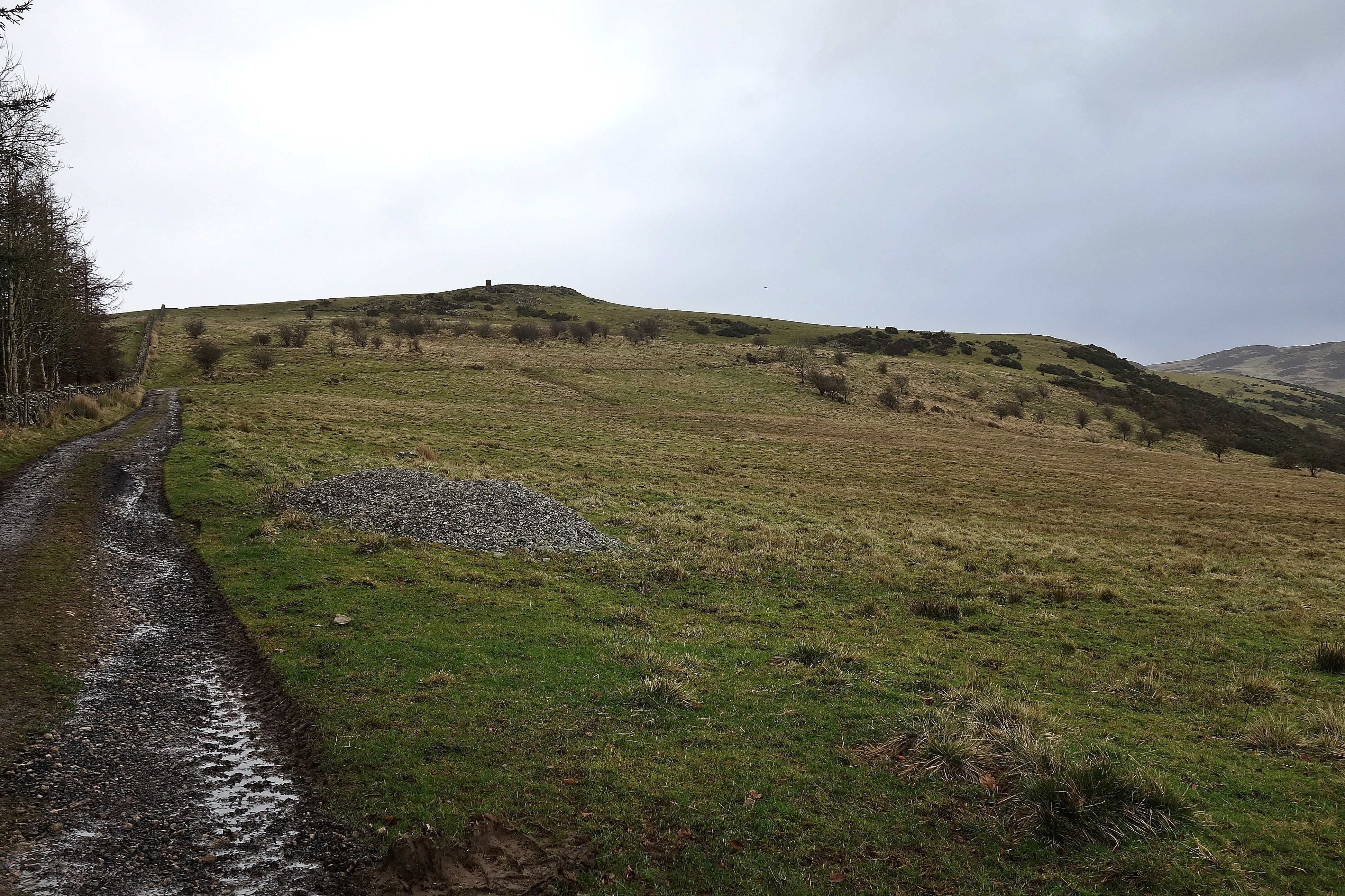


A little further on there's a gate allowing access to the fell so we went through this and followed a fence heading towards Caer Mote Hill, luckily there was another gate through this which gave unhindered access to the hill. There's a quad bike track here so we followed this, a bit further on we saw the farmer on his quad and wondered if he'd approach us, he didn't so we guessed he'd seen walkers in the past and wasn't bothered too much about people in his fields

We took the short direct route to the top and had a break by a large boulder with memorial plaques on it, we guessed it might be a place of significance to the landowner as the surnames were of the same family.

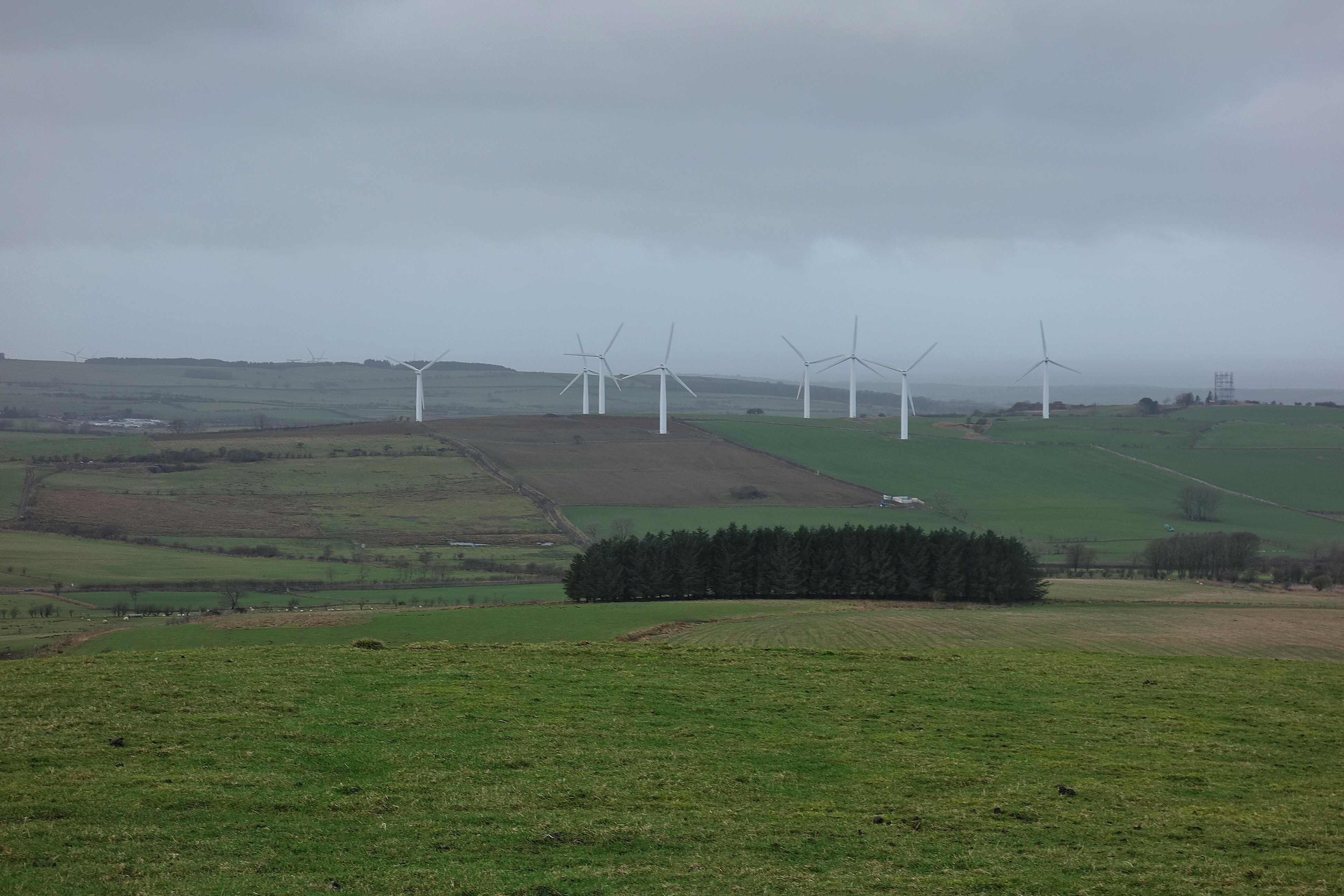
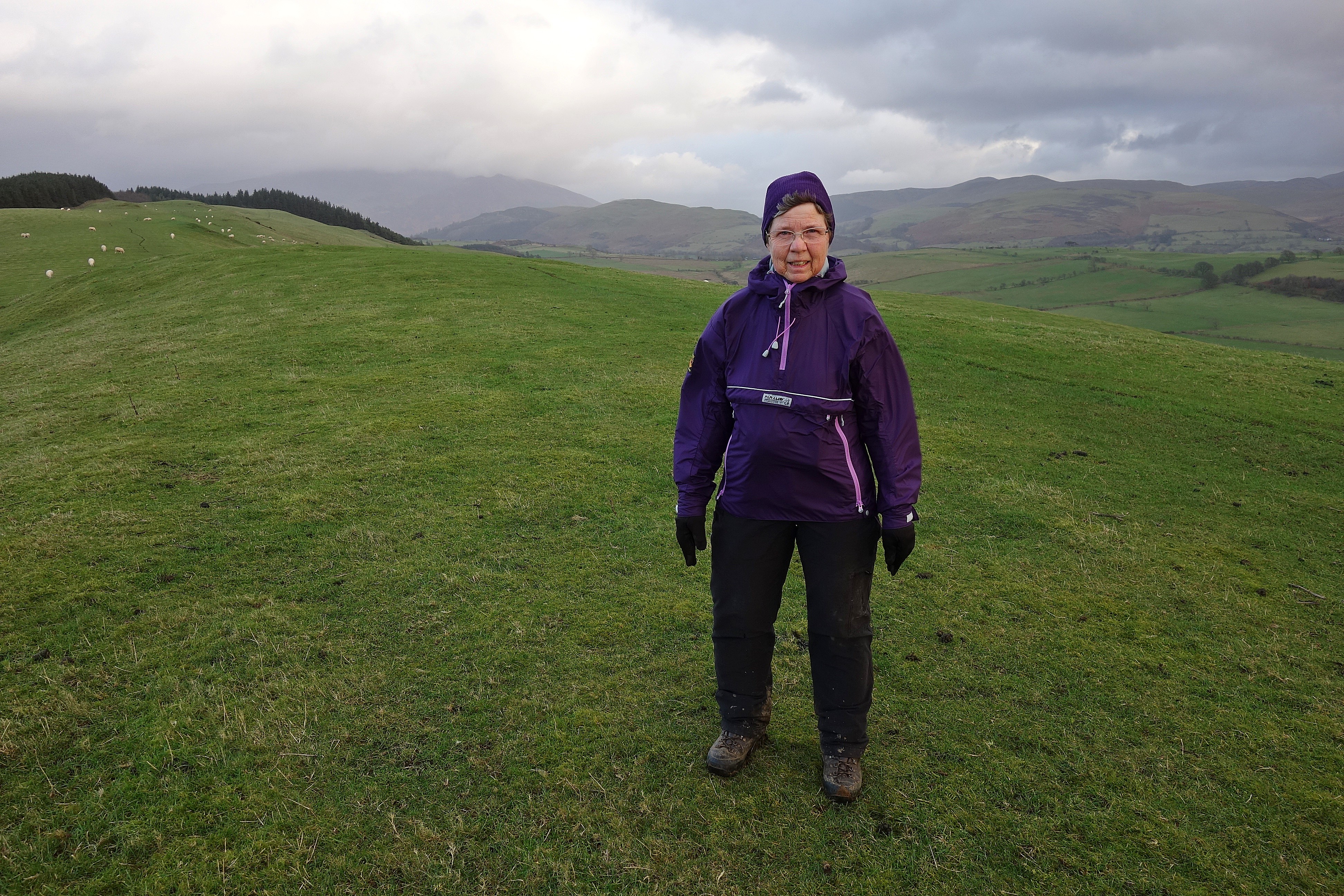
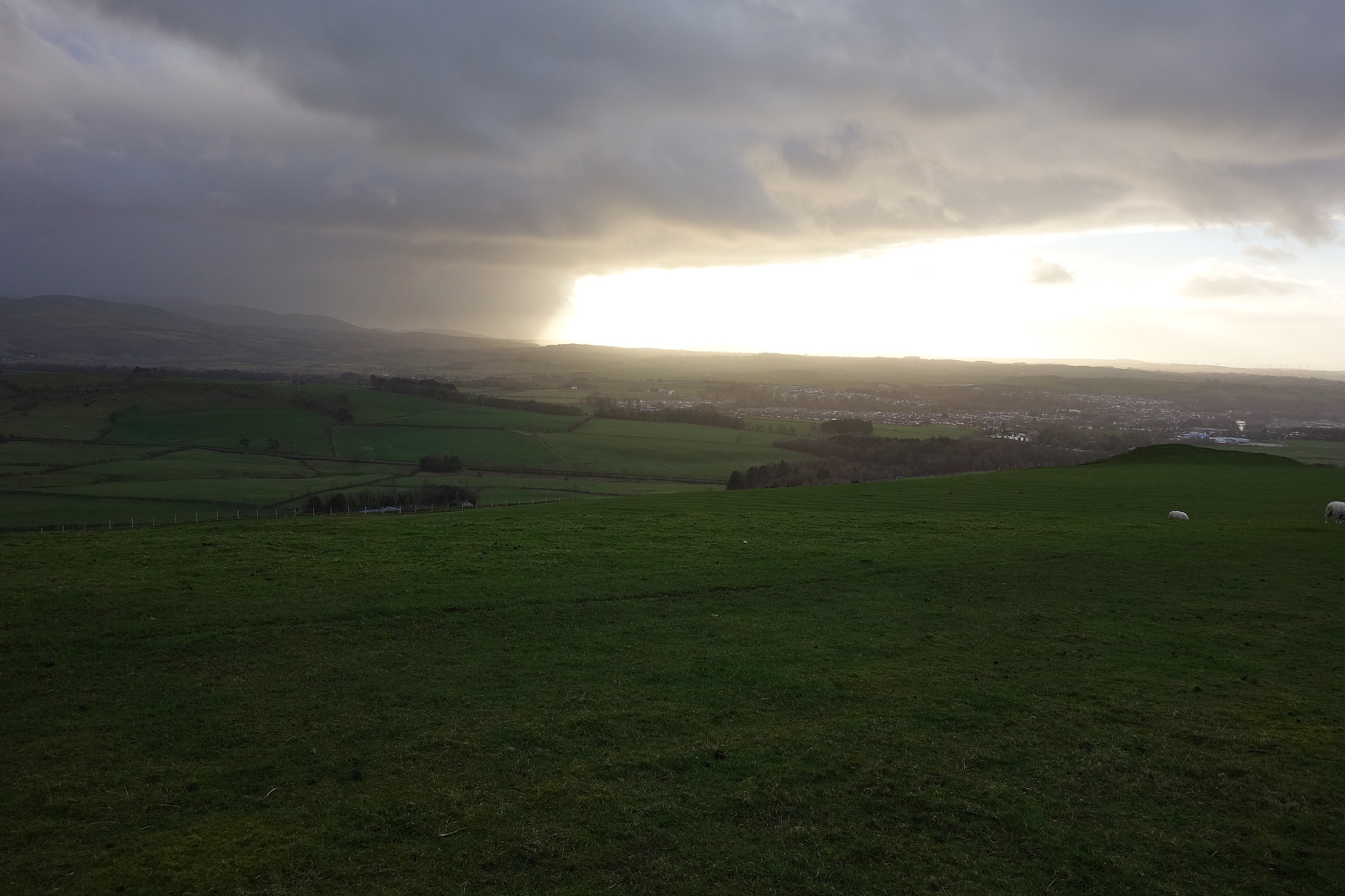
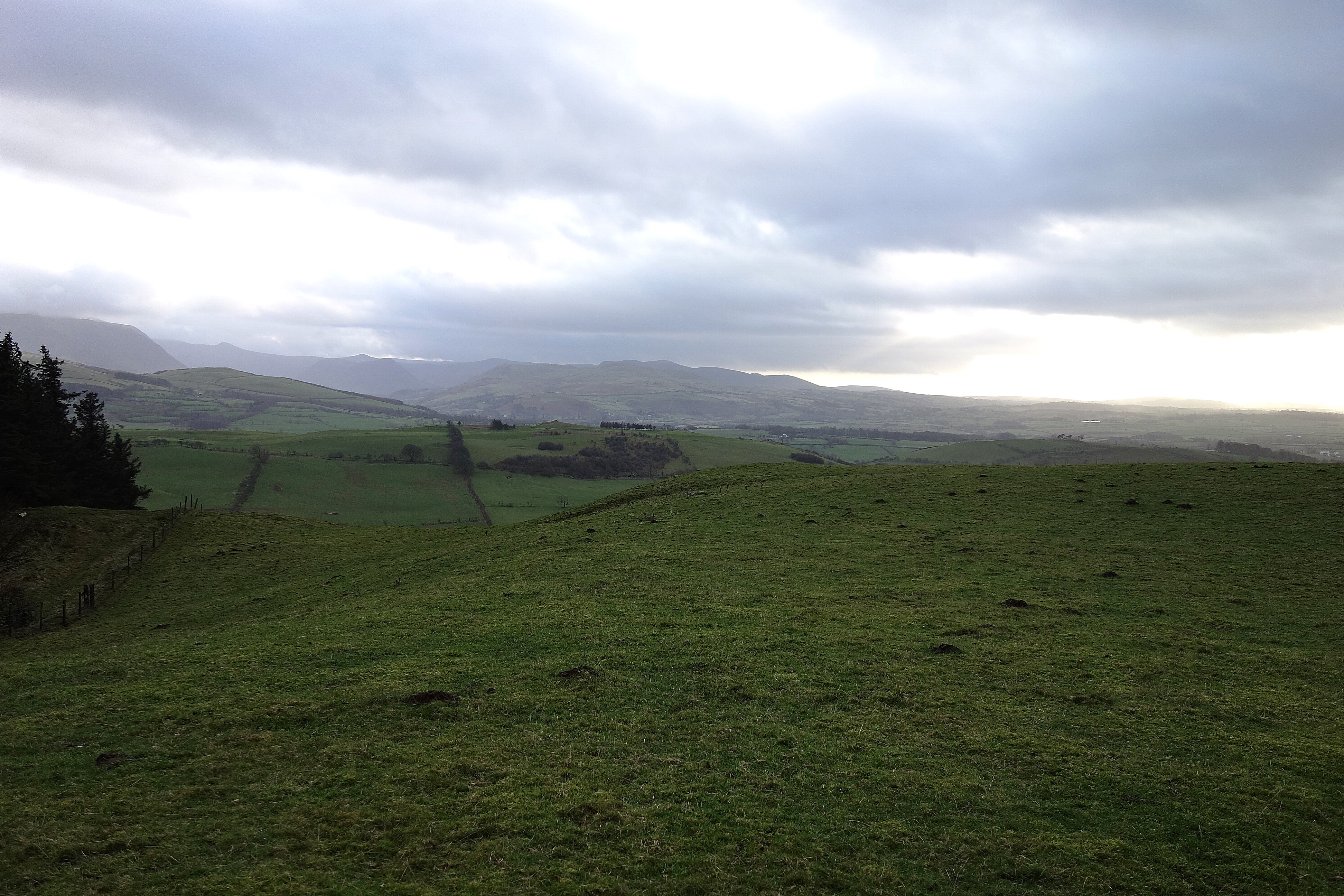
The views were good, Binsey was prominent, Skiddaw was just visible through the murk and we could just make out Bassenthwaite Lake, looking north we could just see St John's Hill.


We set off over the fields to SJ'sH even though we were on grass for most of the way our boots soon collected a lot of mud, the very sticky clay type mud, by the time we reached SJ'sH our boots weighed twice as much


There's nothing marking the top so I relied on the grid ref, its just a high point in a farmers field. There's an earthwork over the wall that's marked on the map so there's been occupation here in the past.


We retraced our route back and thought about looking at the fort site but from higher up we couldn't see anything of significance so we headed for the road back to the car.
So that was two of Mr Wainwrights outliers, a nice little walk, no access issues and worth a re-visit on a better day just for the views. Next on the agenda- Clints Crags.
Clints Crags
3.3km
100m ascent
1hr
We drove round to Blindcrake and found a suitable place to park off the road, re-booted and set off down the road towards Blindcrake.
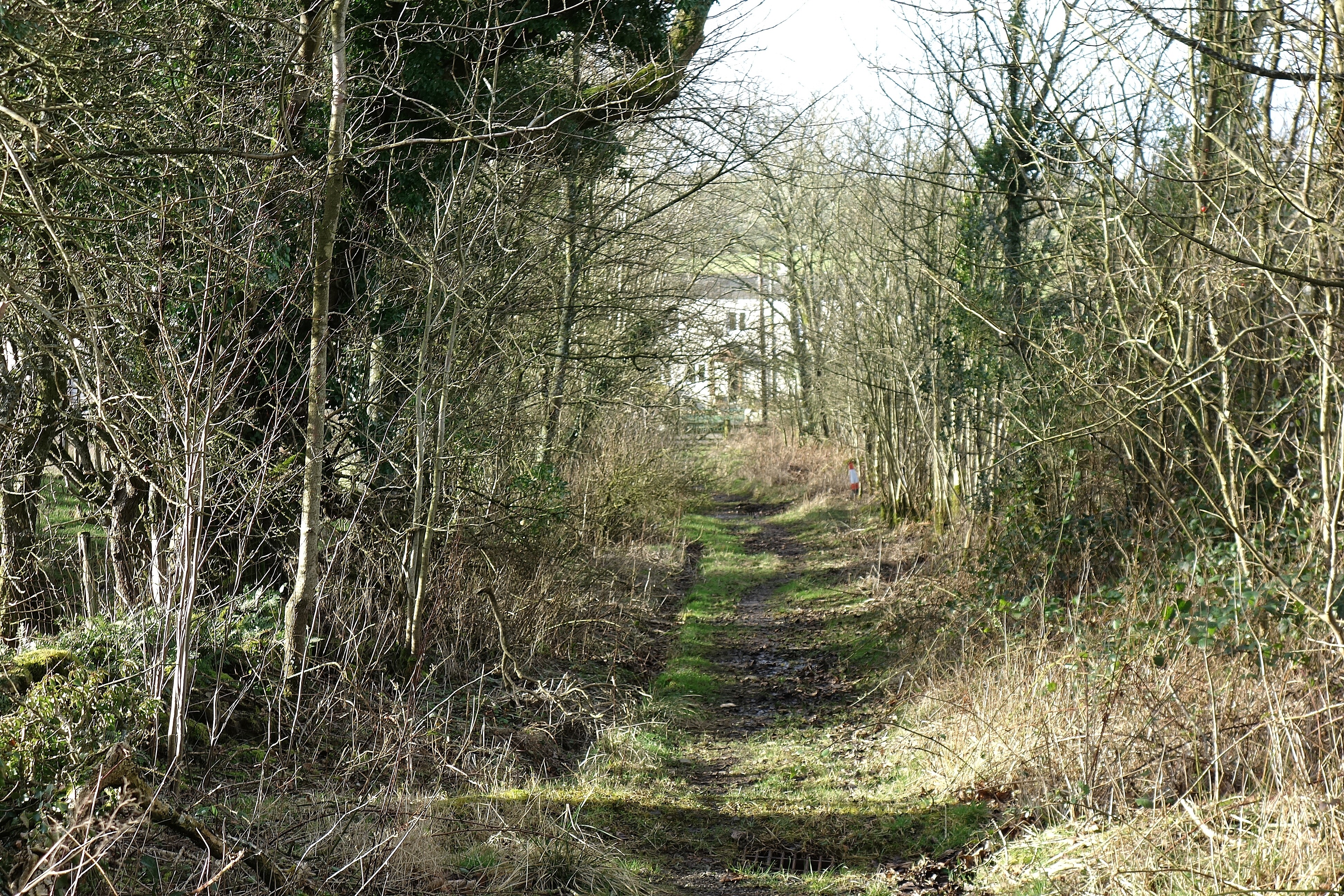
There's a turn off onto a wooded track around NY152352, this takes you through three gates and then onto open fellside which, again, was farmland and muddy
so no escape from heavy boots


We followed the trail marked on the map then turned off it to head for the highest lump ahead, the summit is the 245m spot height on the map, when we got there we could see a higher, fenced off, lump ahead and wondered if we should go for that but, according to the gps, we were on the summit so assumed the lump was the spoil heap for the quarry further over, once we found no way over the barbed wire we were confident that the 245m lump was a good call for a tick so were satisfied with that


A bit further over there are some limestone clints (hence the name of the hill) so we set off to find them, to get there we crossed a very muddy field, there's not much to see when you get there because the clints are covered in moss, the main purpose was to make sure we did earn the tick.

We re-traced our outward route to get back and, just before we reached the road, we found a drainage ditch filled with water so managed to clean the mud off our boots ready for our final little walk up Watch Hill which is just above Cockermouth.
Three down two to go
We drove to Cockermouth and headed for Cockermouth High school, just beyond the school and on the old Keswick road there's a layby on a junction at around NY136312 this was our start point for Watch Hill (x2).
Watch Hill (there are two outliers here both called Watch Hill, One slightly higher than the other)
6.2km
1hr 30mins
222m ascent
We set off from the layby for a short distance towards Cockermouth went through a kissing gate on the right and onto the open fell. This was the most "walker friendly" route of the day, there's a good path all the way. it's marked on the map but you do have to make a diversion off it to get to the summits.
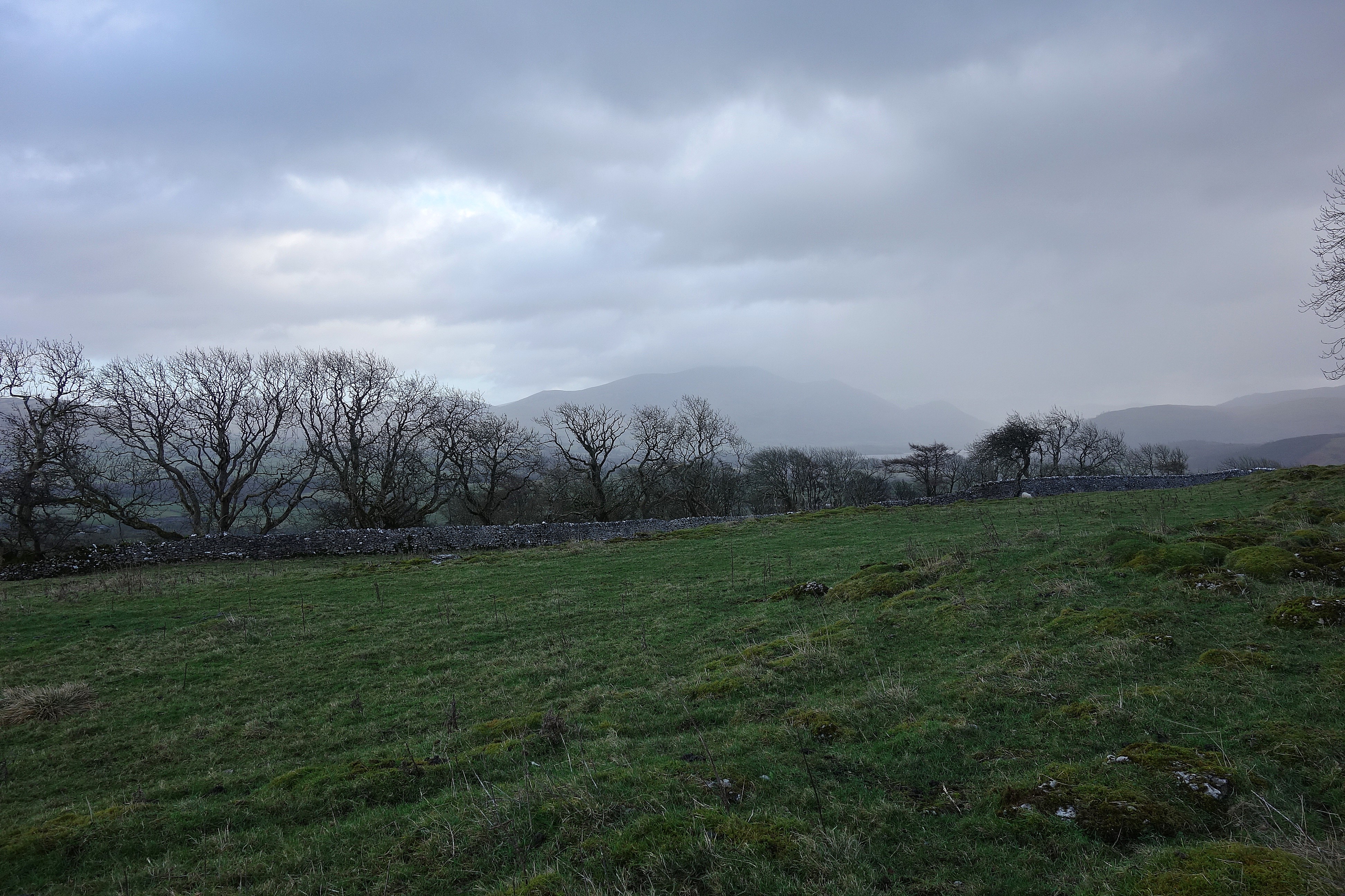
On the first summit the views are good, I had in my mind it's called Watch Hill because you can see anything of size approaching when it's miles off, or the farmer can watch his livestock from a distance.
This is a nice, straight forward, little walk you can see your next objective from the first and the walk over to it follows a broad ridge with a small but steep little descent and re-ascent at the end to gain the second top which is just above the edge of a plantation which you can gain access to via a stile to extend the walk if you want to, we just retraced our route to get back to the car.


On the way back we saw a quarter of a rainbow with it's end on the second top, we just missed the pot of gold

So, that was our day out, five outliers, easy walking and bracing fresh air, not much in the way of ascent but it keeps the legs oiled and gives you a sense of achievement doing what you set out to do.
Cheers.
