free to be able to rate and comment on reports (as well as access 1:25000 mapping).
Having exhausted our local supply of unclimbed Wainwrights, we had to look further afield to tick off the next ones. We were feeling reasonably fit and raring to go, much more energy than yesterday, so set off towards the "back o'Skidda" to see whether some of the remaining fells in that area could be tackled.
We were somewhat thrown by the "road closed" signs on the A591out of Keswick - with no indications of WHERE it was closed. Fortunately it seems that the closure is north of the High Side turn off where we needed to go to get to Orthwaite Hall, our starting point.
We parked up at Orthwaite in the farm car park (£3 in the honesty box) and set off along the farm road towards the fells. We still had not 100% decided at this point whether we were aiming at Great Cockup, Great Calva, or both...
 Setting off from Orthwaite
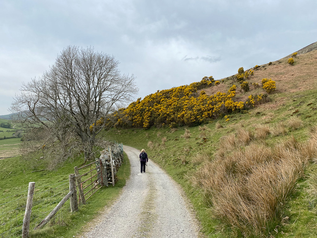
Beautiful yellow gorse all around the path at this point.
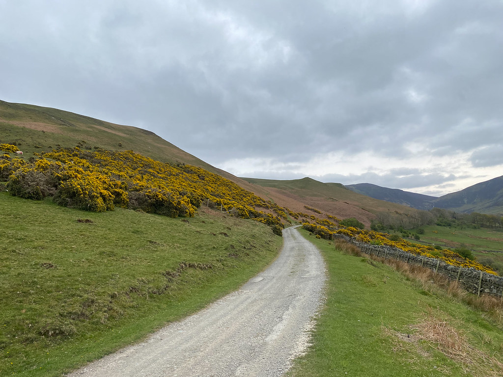 Road through the Gorse
We got to the point where the bridle path branches off, and decided that we would take it and do Great Cockup first (though really even at this point it would still have been a sensible route to Great Calva, if we changed our minds).
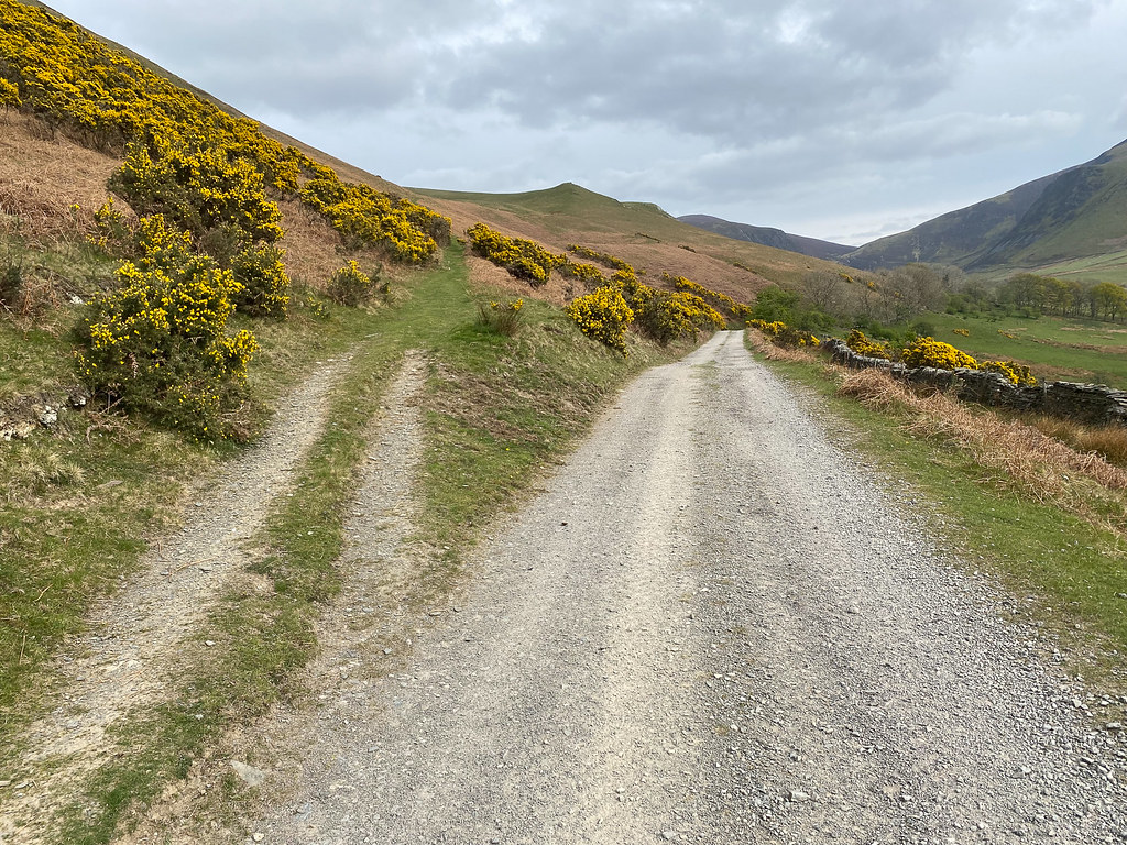 Bridle path branches off
The decision was made to tackle Great Cockup first, and decide at the summit whether to go on to Great Calva. Wainwright's instructions for Great Cockup say to climb up to the ridge once you get to the highest point of the bridle path - which we duly did, though it was later clear that staying on just a little longer would have meant we found an easy wide path to the ridge rather than climbing through heather...
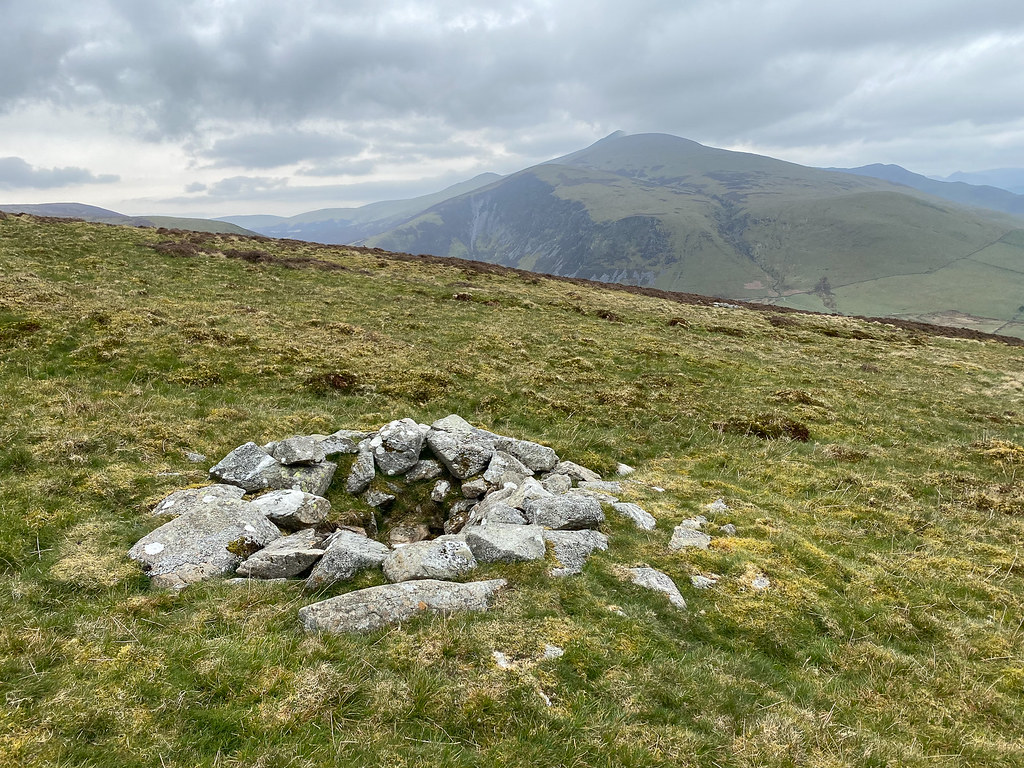
At the top of the ridge there was a small stone structure - too small to be for sheep, and not really in the right place for a win shelter for humans. I concluded it was probably built as a grouse shooting butt.
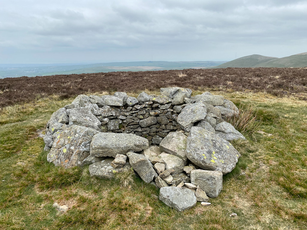 Shooting Butt?
Further on up the ridge towards the summit a second similar structure was even smaller, and did not look like it would comfortable function even as that.
 Small shooting butt?
We soon reached the top of Great Cockup where a painted stone had been left as a memorial I assume) in the summit cairn. Lunch time...
 Great Cockup summit cairn
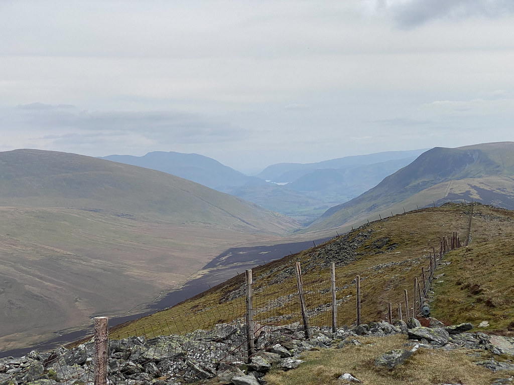
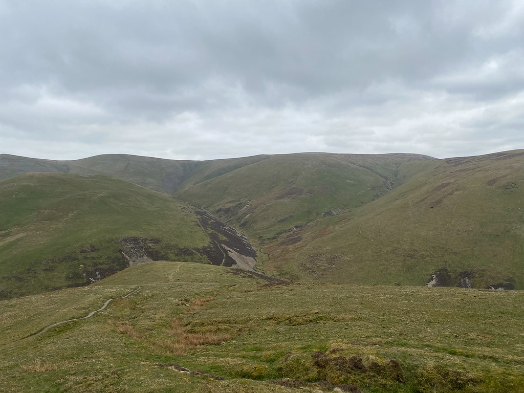 View from Great Cockup
It looked like a route could be plotted to Great Calva via Trusmadoor and the flanks of Burn Tod, so we decided to go for it.
 Descending to Trusmadoor
The route over Burn Tod was following a path all the way until past the summit, but I think it would have been better to cut across a little sooner and not gain quite as much height. Over the top of Burn Tod might have been the best! After a quick cross-country course correction we soon picked up the path from Knott towards Great Calva, just above the col, and from there it was fairly easy going to the summit.
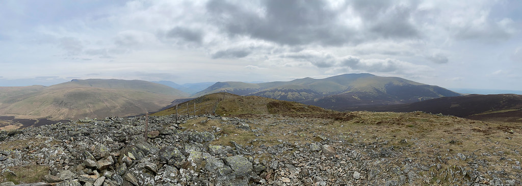 Panorama from Great Calva
One of the things I had been looking forward to on Great Calva was the views - Wainwright describes the view down the "deep trough" dividing the Lake District down the centre. And it was a nice view, though a bit hazy so perhaps not as dramatic as it could have been.
 View down the Great Rift
The summit cairn is also quite photogenic with its "Devil Horns" from mangled fence posts.
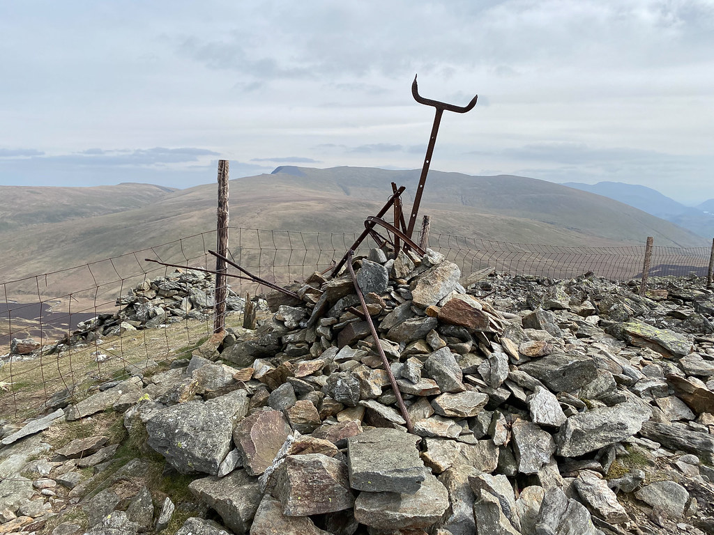 Great Calva Summit Cairn
We descended back to the col, then down a really delightful path down the stony ravine of Hause Gill.
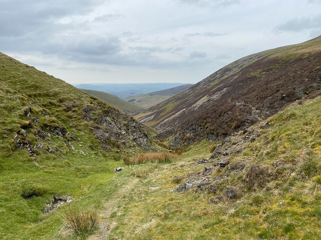 Delightful path down small ravine
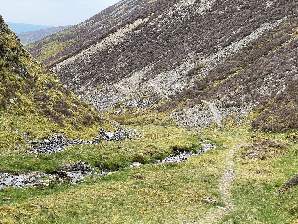 Bumpy road
We branched off the bridleway to go around Brockle Crag (Wainwright's route B), both for a bit of variety and to avoid having to go uphill again. The path wasn't especially distinct, and disappeared into bogs a few times, but there was no danger of getting lost.
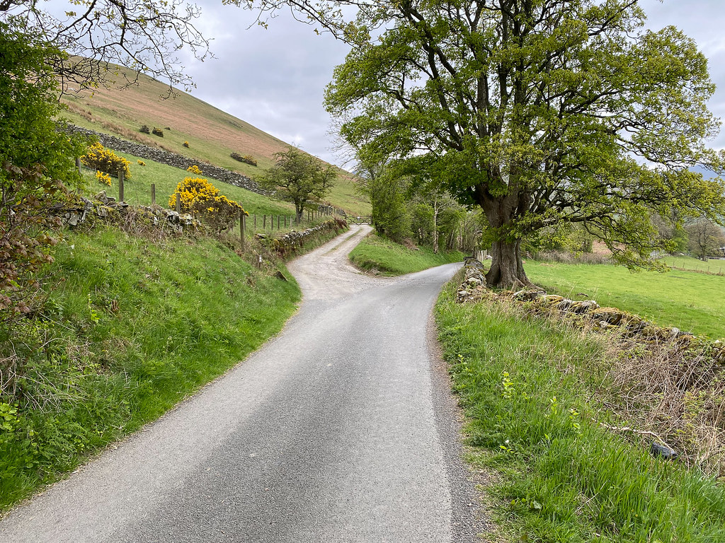
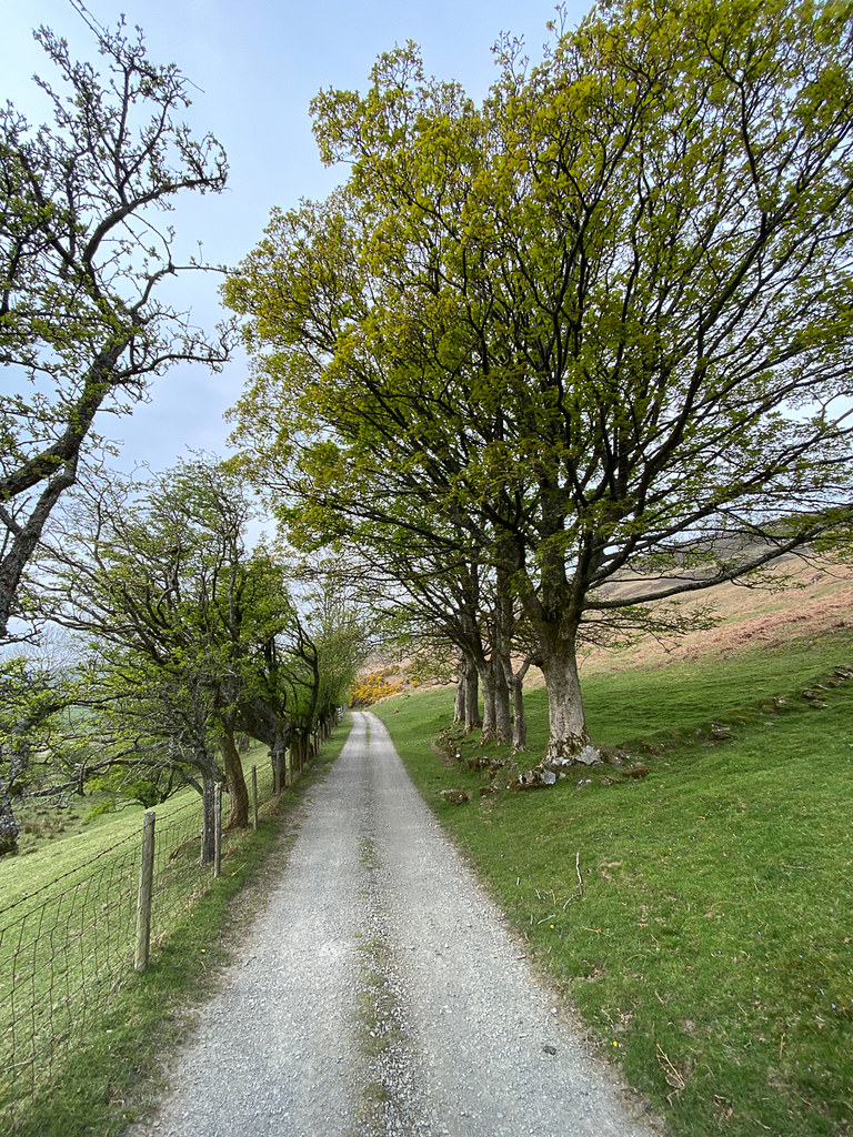 Tree-lined avenue
The walk back along the farm road was pleasant enough, and not too long. Some lovely stretches of tree-lined (and gorse-lined) avenues...
 Gorse again
The lambs were having fun playing "I'm the king of the castle" as we walked past...
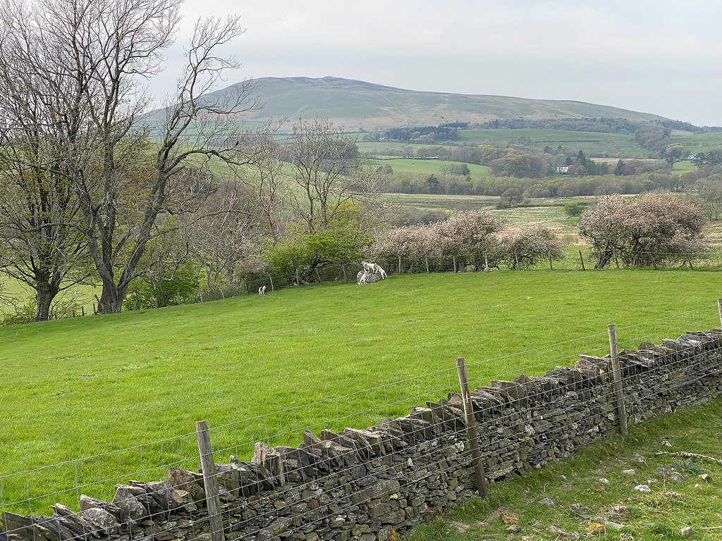 Frolicking Lambs
A longish walk by our standards but very enjoyable. I do like the Northern Fells...
