free to be able to rate and comment on reports (as well as access 1:25000 mapping).
Hills climbed: Moel Eilio (546m)
Date walked: 06/11/2011
Time taken: 5 hours
Distance: 11km
Ascent: 640m
Sunday was pretty much fail-safe weather all over North Wales. I plumped for somewhere new to walk, and went with my parents to Dolgarrog in the Conwy Valley. Moel Eilio is a fairly minor hill which I'd never been up before, but it had always stood out as it shared a name with a more popular hill above Llanberis - one which used to be my most regular workout in the past.
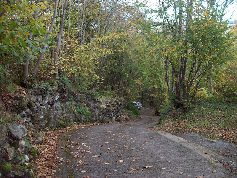
Parking outsite the aluminium smelter in Dolgarrog, we made our way up a minor access road which led into the gorge of the Afon Porth-Llwyd. This was the scene of a disaster in the 1920's, when the Egiau and Coedty dams were breached and released billions of gallons of water down the gorge, wiping out a large part of the village and killing many.
Possibly the steepest road I've ever walked up:
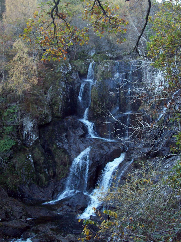
Above a couple of farms, the route continued on a path through the woods, which was occasionally boggy. The hillside was extremely steep, and our path led us past some waterfalls. These were pretty impressive considering that a large amount of the water up here is diverted into the Coedty Reservoir.
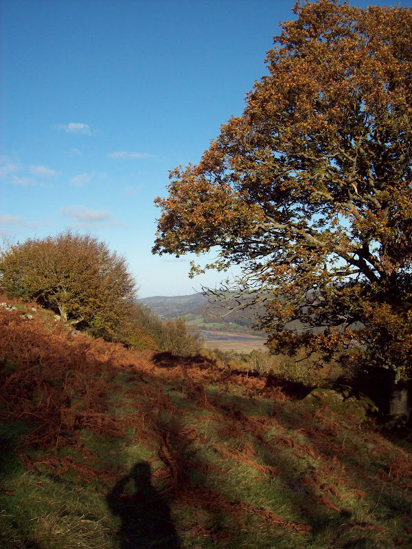
Autumn colours looking south down the Conwy Valley:

Waterfalls in the gorge:
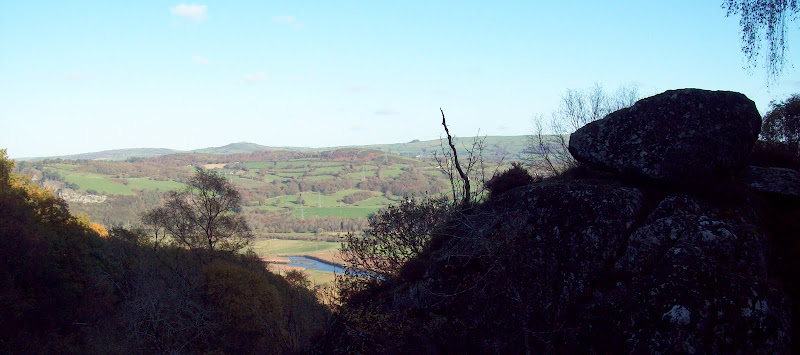
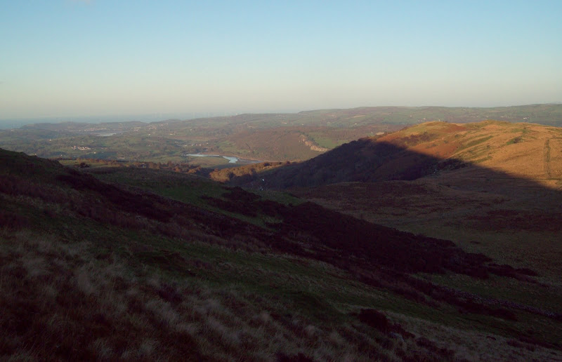
East across the Conwy Valley from the gorge:
Higher up, the gradient eased and the trees opened out into more mixed terrain. We joined another minor road, crossed a bridge over the Afon Porth-Llwyd, and followed a track which contoured round the hillside into the next valley to the south. This followed an aqueduct.
Above the steep sides of the valley:
Looking across the Conwy river:

Into Clwyd:

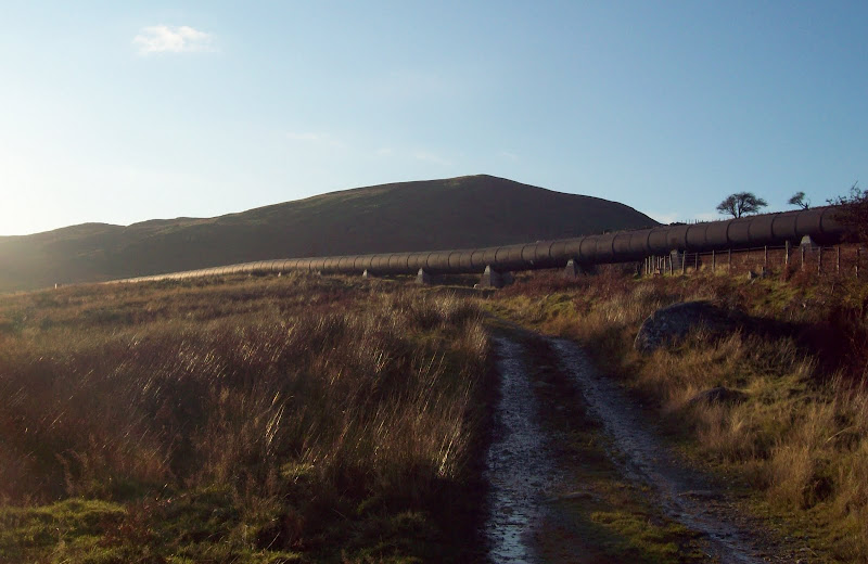
Moel Eilio and a hydro pipeline:
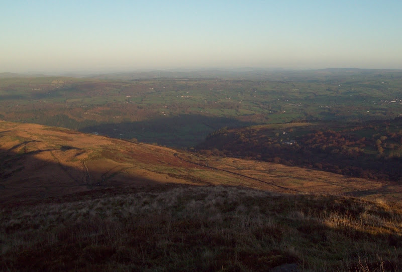
The contouring path was scenic, and led us into the valley of the Afon Ddu, which begins in Llyn Cowlyd. The landscape was much bleaker up here, but there were crystal clear views across Clwyd to the border.
We turned right up a smaller track which led under another pipeline to the grassy col beneath Moel Eilio. Through a gap in the wall, the steep final slopes were gained. These were much rougher and more heathery than I expected, and I whizzed on ahead, crossing a fence just before the summit.
Almost at the summit:
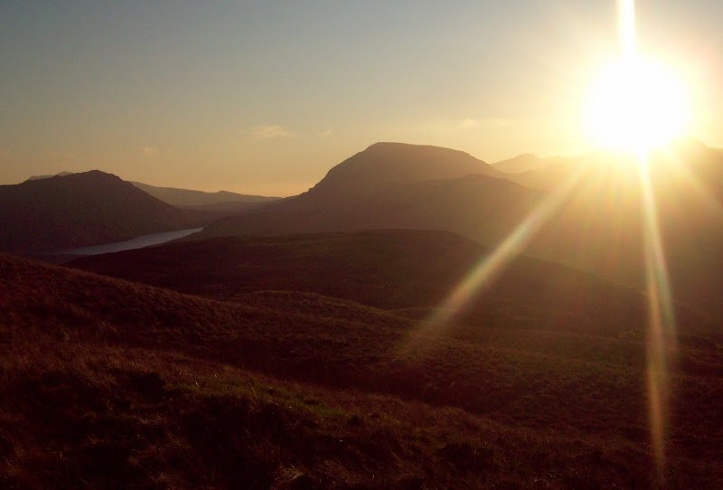
I got to the top just as the sun was setting over the main Carneddau ridge, and the effect was very impressive, if almost impossible to capture in photos.
Creigiau Gleision and Pen Llithryg y Wrach with Llyn Cowlyd between them:

Tal y Fan:
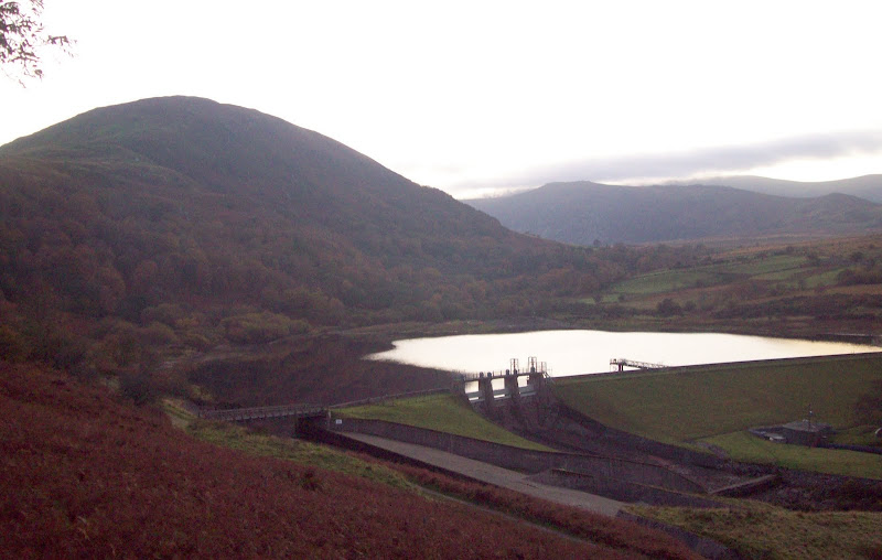
Across the Coedty Reservoir to Conwy:


East:
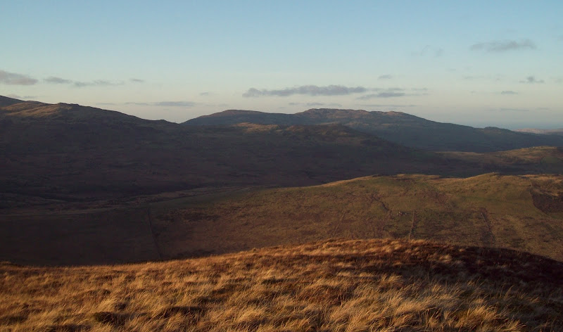
Arenig Fawr lies to the south:

Sunset over Pen Llithryg y Wrach:
Parents arrived about 10 minutes later, shortly followed by another group of 3, who we had bumped into a couple of times earlier. Quite surprising to find another group on the same hill, as it doesn't look like many people come up here.
Creigiau Gleision:
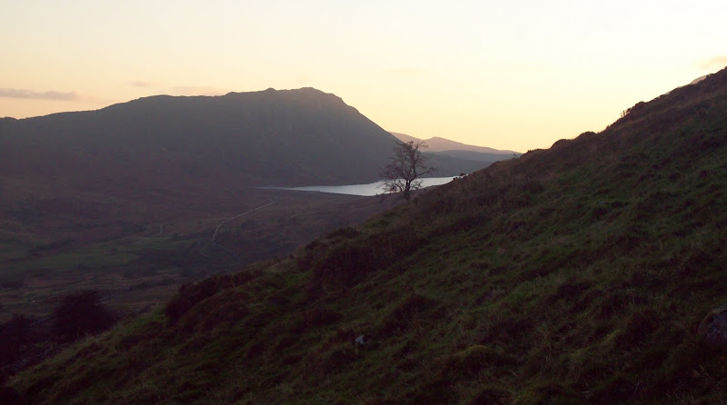
We retraced our steps to the col, then took a shorter route back to the tarmac road near Coedty reservoir. The light was going now, but there were good views back to Moel Eilio.
Moel Eilio and Coedty Reservoir:
On the road, we decided to avoid our steep route through the woods and followed a farm track down a little further north. However, once it was completely dark, the track ended and gave us a fun 20 minutes of steep slithering before we picked up the initial road. However the night was so clear that the time spent out walking in the dark was just as enjoyable as the rest of the walk.
