free to be able to rate and comment on reports (as well as access 1:25000 mapping).
Hewitts: Waun Rydd, Cefn yr Ystrad
Sub 2000's: Tor y Foel
Date walked: 11/03/2012
Time taken: 7 hours 40 minutes (walking), 1 hour 30 minutes (cycling)
Distance: 27km (walking), 30km (cycling)
Ascent: 1170m (walking), 150m (cycling)
Weather: Sunny and warm. Cloud touching highest summits.
(
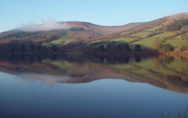
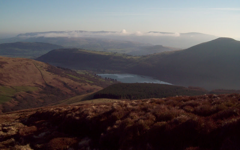
Link to day 1 report) After a great sleep at Danywenallt youth hostel, I managed to drag myself out of bed early for once. I arranged to leave my bike and some of my overnight stuff and spare clothes at the hostel, and was away for 7:45am. There was still cloud clinging to some of the hillsides, but the makings of a perfect day were there. That became pretty clear while walking across Talybont dam.
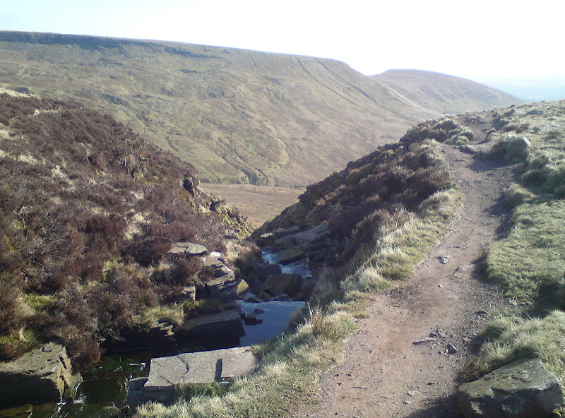
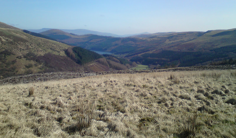
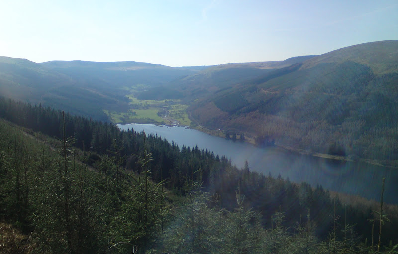
The reservoir, Allt Llwyd and Waun Rydd:
Pant y Creigiau:
There were a couple of options for getting onto Waun Rydd, and I went for the one which also included the minor summit of Allt Lwyd. A brief stroll along the road brought me to the path up, which was pleasant and grassy up to 450m - a nice surprise as I'd been expecting a lot of mud. The remaining clouds were clearing away and the views constantly opening up.
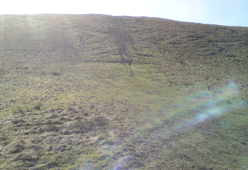
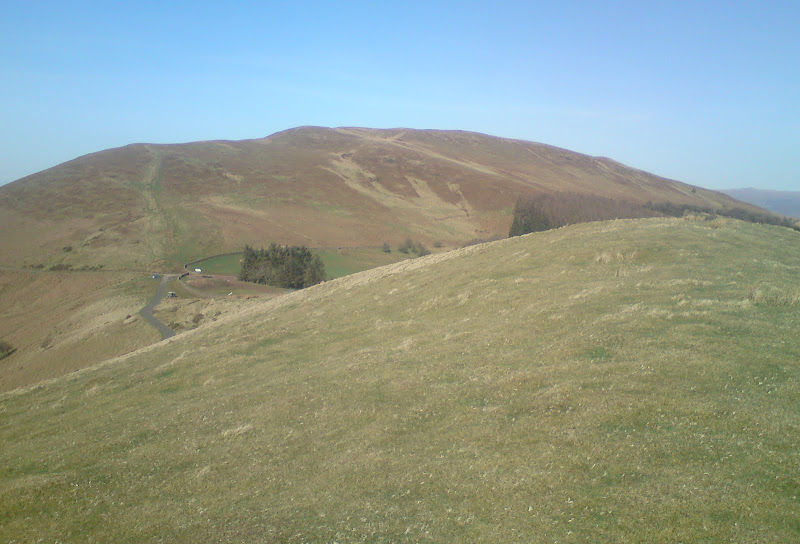
Start of the route up Allt Llwyd:
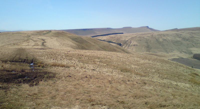
Waun Rydd and Nant Tarthwynni:
Black Mountains clearing of cloud, Tor y Foel and Talybont Reservoir:
Above 450m, the way was a little softer and wetter, but not unreasonably so. Compared to the Black Mountains just to the east, the terrain was much easier going, with shorter vegetation. Allt Lwyd provided a nice view of Waun Rydd from the summit, and the ground firmed up again for the narrowing ridge to the summit.
Along the ridge to Waun Rydd:
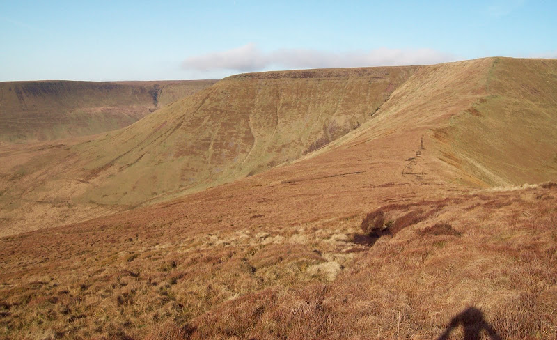
Cwar y Gigfran and Craig y Fan Ddu:
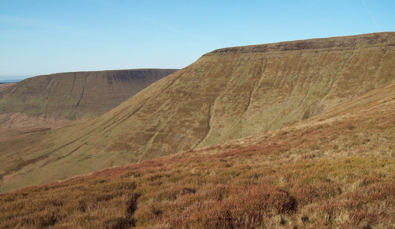
...except that it was the edge of the summit plateau rather than the summit itself. I have been getting rather familiar with haggy, wet and indistinct summits recently, and this was another one of those! I prolonged the view by sticking to the edge of the plateau, passing the massive and well constructed cairn of Carn Pica. Some smartarse had stuck a walking pole in the top of it.
Back across Twyn Ddu:
Carn Pica on Craig y Fan:
A bit wetter to the proper summit from here, but at least it had a small cairn, which is more than some do. The cloud was skimming across the plateau here, so the views weren't up to much. I dropped down to meet the good path of Ffordd Las, passing my first walker of the day (although he seemed to be practially running). A couple had camped on a platform of grass a short distance away, and were just getting up. As they were below the cloud, the morning views were pretty spectacular.
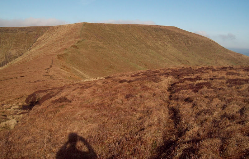
I had yet to catch a glimpse of Pen y Fan, but the cloud had some substantial holes in it, so I climbed up to the highpoint of Bwlch y Ddwyallt to wait for a clearing. Annoyingly when one came, my camera packed in, the rechargable batteries having been recharged one time too many. I couldn't get any life out of it, so had to resort to my phone camera. Of course the cloud break had gone by then, so I had a break and waited for another one. Only limited success, unfortunately (if I'd been more patient and waited another 15 minutes, I would have been fine).
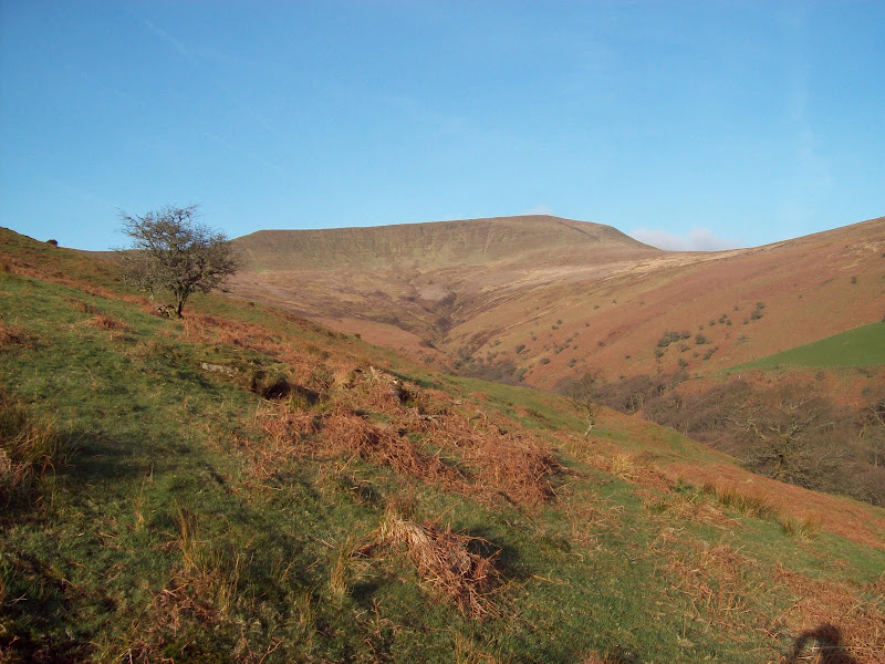
West to Pen y Fan and Corn Du:
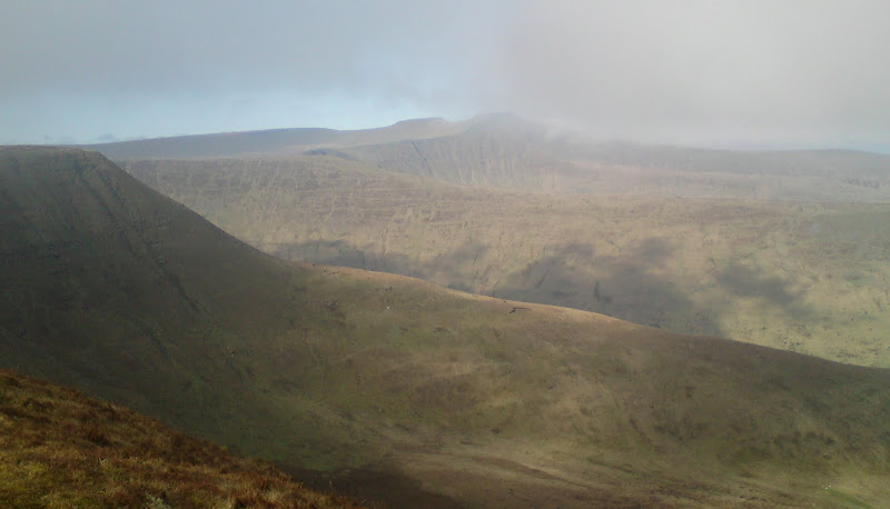
Not a great photo really, which was a shame, as from this angle and distance with their strange horizontal strata , Pen y Fan and Corn Du look almost Torridonian (although sadly they are less interesting up close). Unfortunately, all my photos from now on are from my phone, which doesn't seem to cope so well with the bright light. Although it doesn't look like it, the skies stayed as blue all day as they were early on!
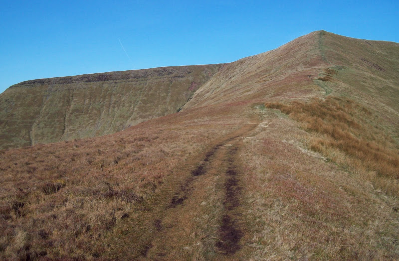
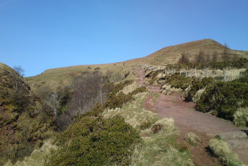
I used the path over Graig Fan Las and Craig y Fan Ddu to get me back down to the road, enjoying the views down into the corrie on my left. The path became well surfaced after a short distance.
Stream crossing at Craig Fan Las:
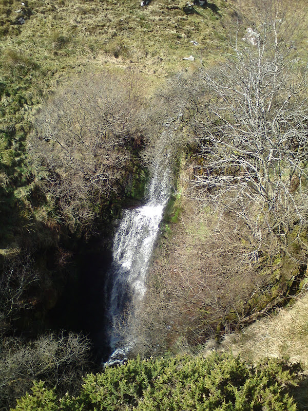
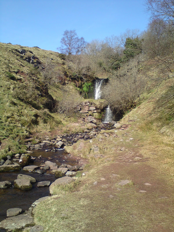
The next guy I passed remarked that it was "like Picadilly Circus up here". I didn't agree immediately, but as soon as I started the steep descent, I passed quite a few folk on their way up. The path was steep and well constructed, and there were some nice waterfalls to the right.
Waterfalls on Nant Bwrefwr:
Back up to Craig Fan Ddu:
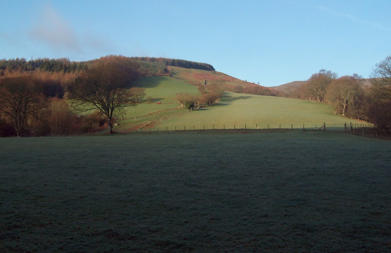
Once on the road, I turned right and walked a short distance to the high point. The way up Pant y Creigiau was obvious, as it was scarred by 4x4 and motorbike tracks. As I was to find out, the whole area south of here was very popular with this type of activity.
To be fair, the eroded route didn't really look any worse than a typical Brecon Beacons footpath (before improvement works have been carried out, that is). At the top of the steep section, I heard a squelch and a shout, and discovered a mountain biker who had just fallen off into the mud. No sympathy for him - his mates thought it was hilarious!
The views down the reservoir from the summit of Pant y Creigiau were good, and the going got a little better for a bit.
Tor y Foel from Pant y Creigiau:
Erosion on Pant y Creigiau:
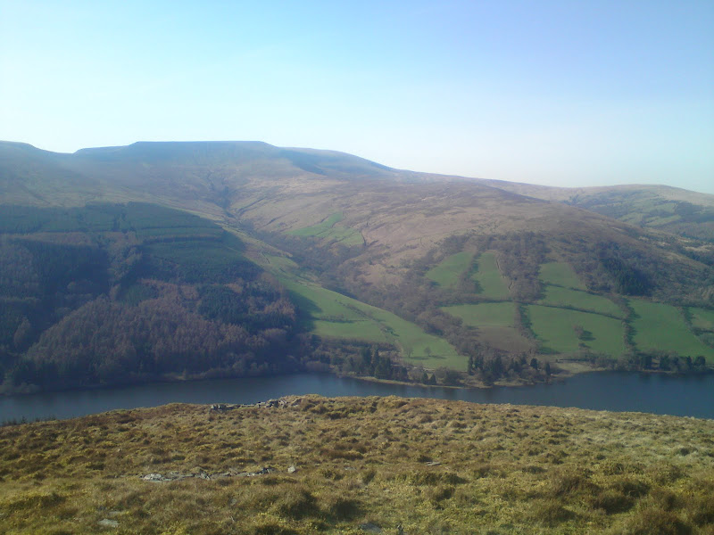
Talybont reservoir and Tor y Foel:
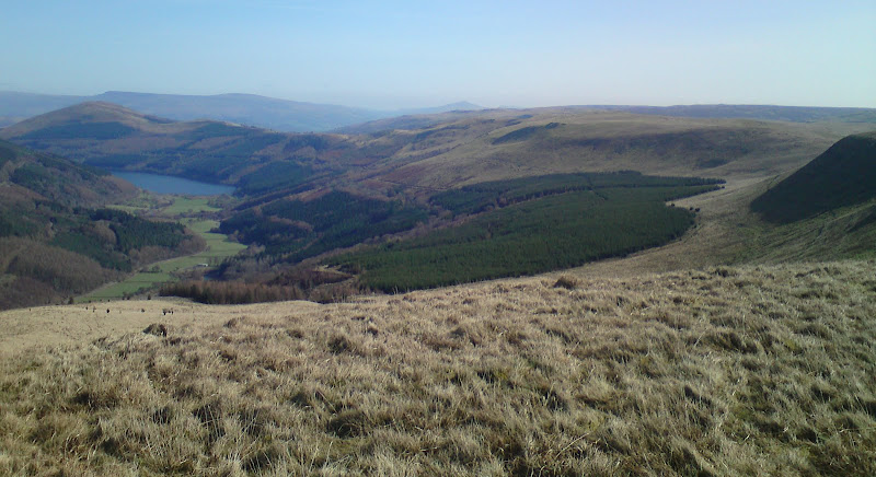
Again, with Allt Lwyd:
Back to Pen y Fan and Corn Du:
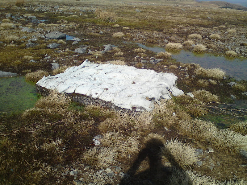
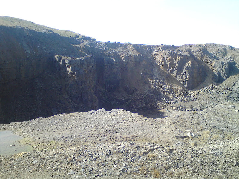
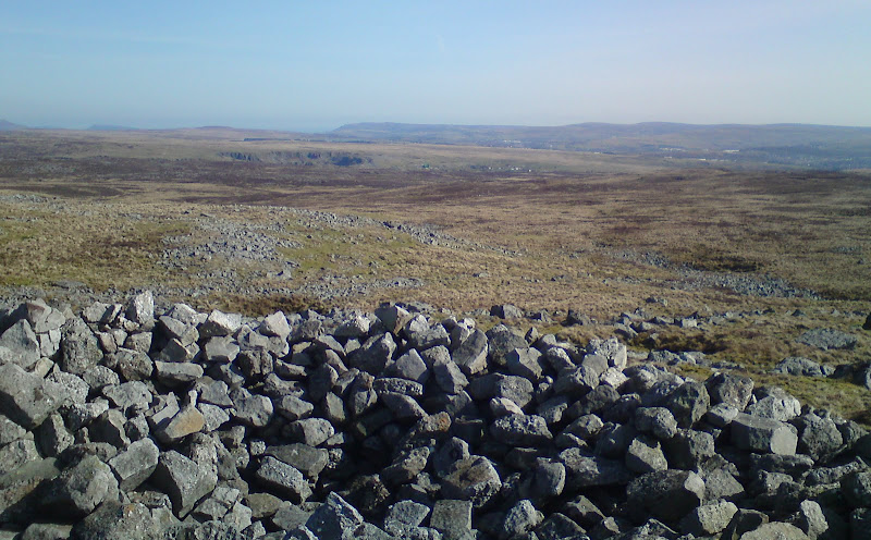
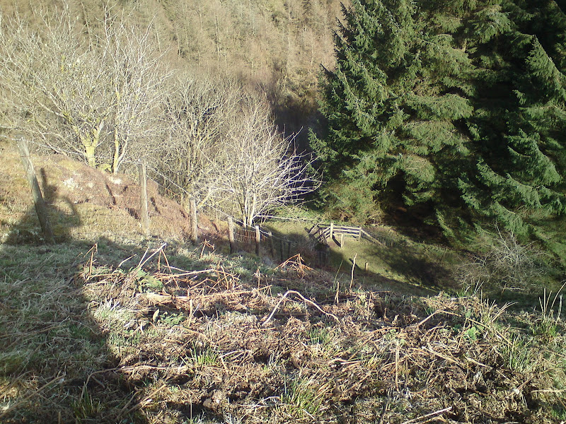
Rather than cross Bryniau Gleision, I contoured behind it, with the going alternately wet and dry, as I kept hitting strips of land with limestone beneath them. There was a constant buzz of dirt bikes around here, and despite the bog, it appeared to be a popular area for walking too. I ascended slightly and entered the Ystrad Quarry area. This had worried me a bit on the map, as it appeared to cut right through my route. A bit of research of Google sattelite images told a different story though - there appeared to be no fence around the quarry, and you could walk through most of the area, although there were one or two holes to watch out for. At one point, I approached what appeared to be a block of white quartz, only to find out it was an old mattress

. On the whole though, there was barely any fly tipping at all in the quarry area, which was a pleasant surprise.
Is it a block of quartz? No, it's a manky mattress:
Excavation at Ystrad Quarry:
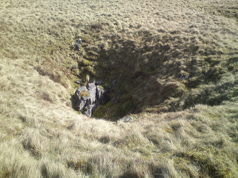
Passing between a couple of large excavations, I was soon on the other side of the quarry, and heading for a prominent pointy summit. I thought I would be able to spot the real summit from here. The ground was now all underlain by limestone, and was quite dry. Most of the shake holes marked on the map were fairly benign looking hollows, but I'm sure one or two were probably very deep.
Shake hole:
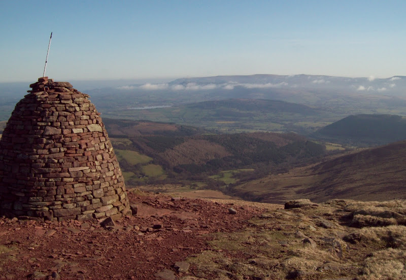
On my little pointy summit, I was surprised to find the trig pillar of the actual summit a very short distance away, along with a couple of large cairns and some ponies. I had another break here, as it was pleasantly deserted and the sound of revving engines was reasonably distant.
Pen y Fan and Corn Du from Cefn yr Ystrad:
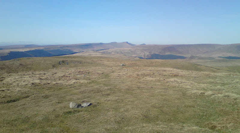
SE across Mynydd Llangynidr to Ebbw Vale:
I partially retraced my steps, then cut a little NE to reach the edge of the forest. Crossing the centre of the quarry area, I was in the middle of some serious scrambler/quad biking activity. On the far side of the quarry, I climbed a fence into a field, and walked to the edge of the woods. The path I was trying to join appeared to be at the bottom of a cliff, so I followed the edge north until I found a suitable place to descend. It was still very steep though.
Head of Dyffryn Crawnon:
Dyffryn Crawnon and Tor y Foel:
Steep descent to the old tramway:
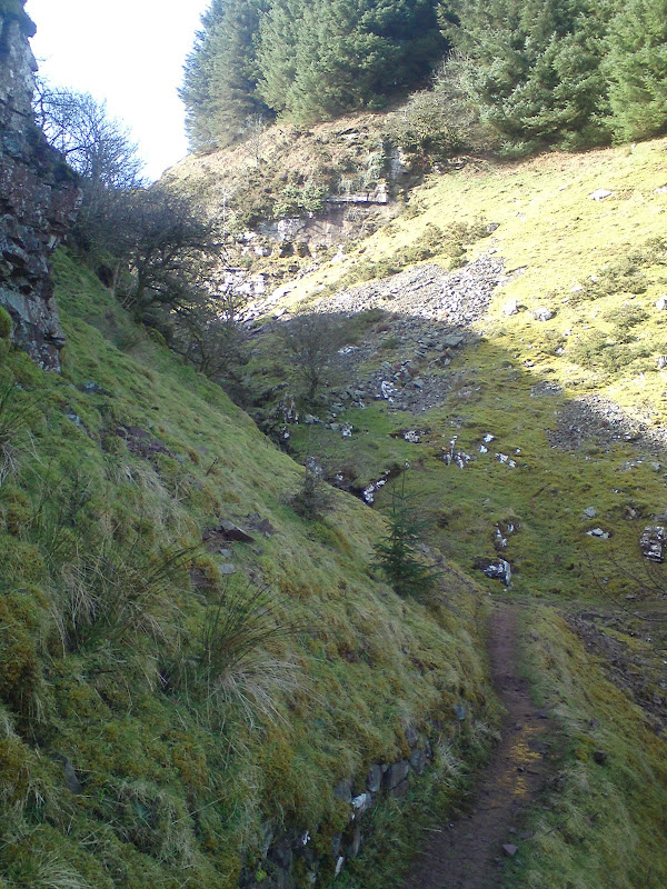
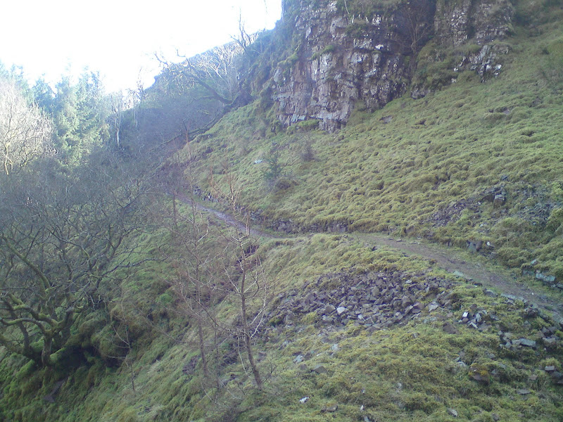
The path turned out to be the upper part of the old Brynoer tramway that I'd followed up to the youth hostel the previous evening. It was used to bring limestone down from the quarry I had just walked through to the canal at Talybont, and descended the side of the hill at pretty much an even gradient the whole way. I had joined at an interesting bit where it negotiated some cliffs at the head of the valley.
Narrow section of tramway:
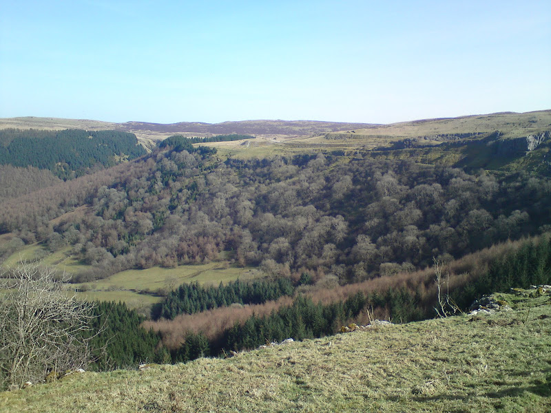
After that, it was a mile or so through the woods until I got more views, but the walking was easy. Further on, a felled area made the path very swampy. The Crawnon Vallev looked lovely and peaceful, but this was soon shattered by more off-road motorcyclists, who were charging up and down the slope to my left

. I'm all for letting these folk use an area like this if it keeps them off the rest of the hills, but don't come here expecting peace and quiet!
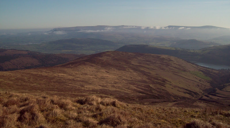
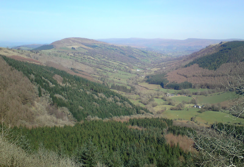
Eventually I met a better track and was back on the crest of the ridge. I followed a couple of bumps on the ridge, taking me away from the track, and was finally at the foot of Tor y Foel.
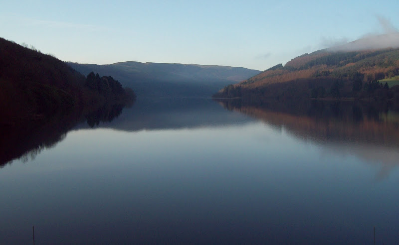
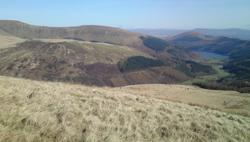
Waun Rydd and Talybont Reservoir:
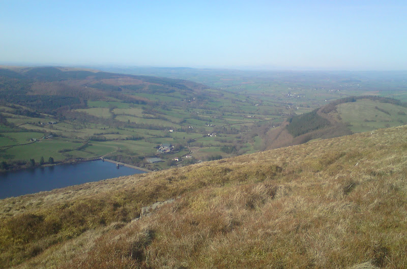
Head of the valley and Pant y Creigiau:
Closing in on Tor y Foel:
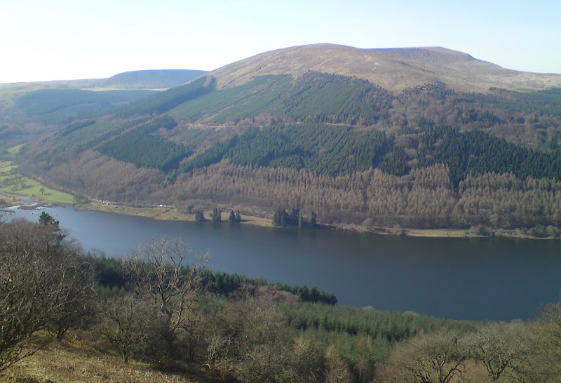
Tor y Foel was easy enough and fairly dry too, and I had a break at the summit. The views were great down the Usk valley with the Black Mountains on the left, and also across Talybont Reservoir to Waun Rydd. A steep grassy descent took me to a minor road.
Talybont dam:
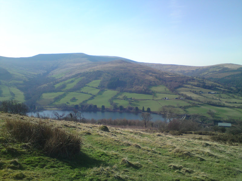
Waun Rydd from Tor y Foel:
Once across the road, I hit a section of the Usk Valley Walk which took me back to the youth hostel for about 3:20 pm. It was a hot afternoon by now, and I had a feeling I'd missed the 4:37 pm train home, so I didn't rush too much packing up the stuff I'd left at the hostel.
Once on the bike, I took the non A road route back to Abergavenny, passing through Llangynidr, Gilwern, Govilon and Llanfoist. As the road followed the canal, it didn't go up and down too much, and the journey was very pleasant. I was a bit dehydrated though, so I stopped in at a shop in Gilwern for some juice. I got a bit of a shock when I saw a reflection of myself in a window - I looked like a sweat-drenched phsycopath!
Back in Abergavenny with a good 25 minutes to spare before the 5:25 pm train, I was able to get changed, wash my face and generally look a bit less phsycopathic for the journey home. I'm not sure if the whole trip did my cold much good or not, but I certainly managed to spread a trail of snot across a pretty large area of the Brecon Beacons
.
Despite not being as relaxing as I'd planned, I had a great weekend, and I was glad I'd made a decent walk out of the two Hewitts, rather than just finding the quickest way up each one. In addition to the sub 2000 of Tor y Foel, I also got (in Scottish currency) a Corbett and a Graham, making a nice little hat-trick.
