free to be able to rate and comment on reports (as well as access 1:25000 mapping).
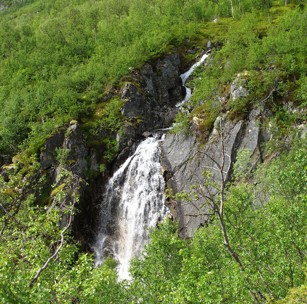
Day 8 of our holiday in Tromsø. Today the mainland hills were in cloud, but Ringvassøya, the next island to the north (connected to Kvaløya by a tunnel) looked a bit brighter. We parked just by the bridge over the Sandelva river, and once again failed to find the start of the path! We pressed ahead into the woods regardless and after a hundred metres found the path next to a pylon. This made the going a bit easier, though it gradually became harder to follow as we gained height, and faded out completely after 1/2 km or so. Saw a bluethroat perched in a tree and a willow grouse doing its "broken wing" act: it must have had a nest or chicks nearby.
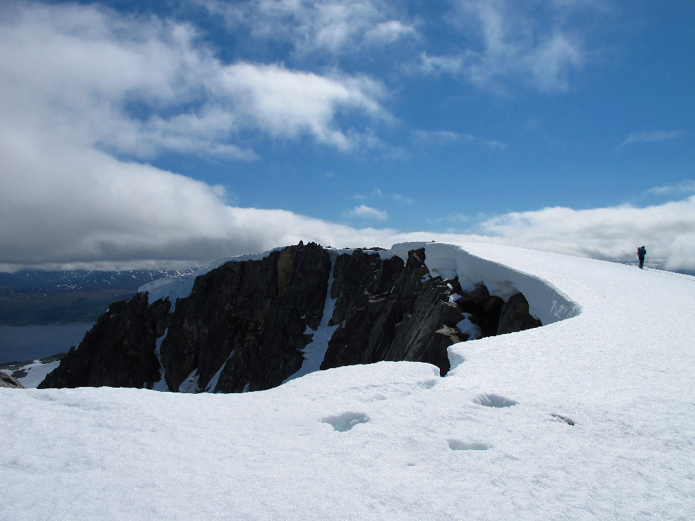
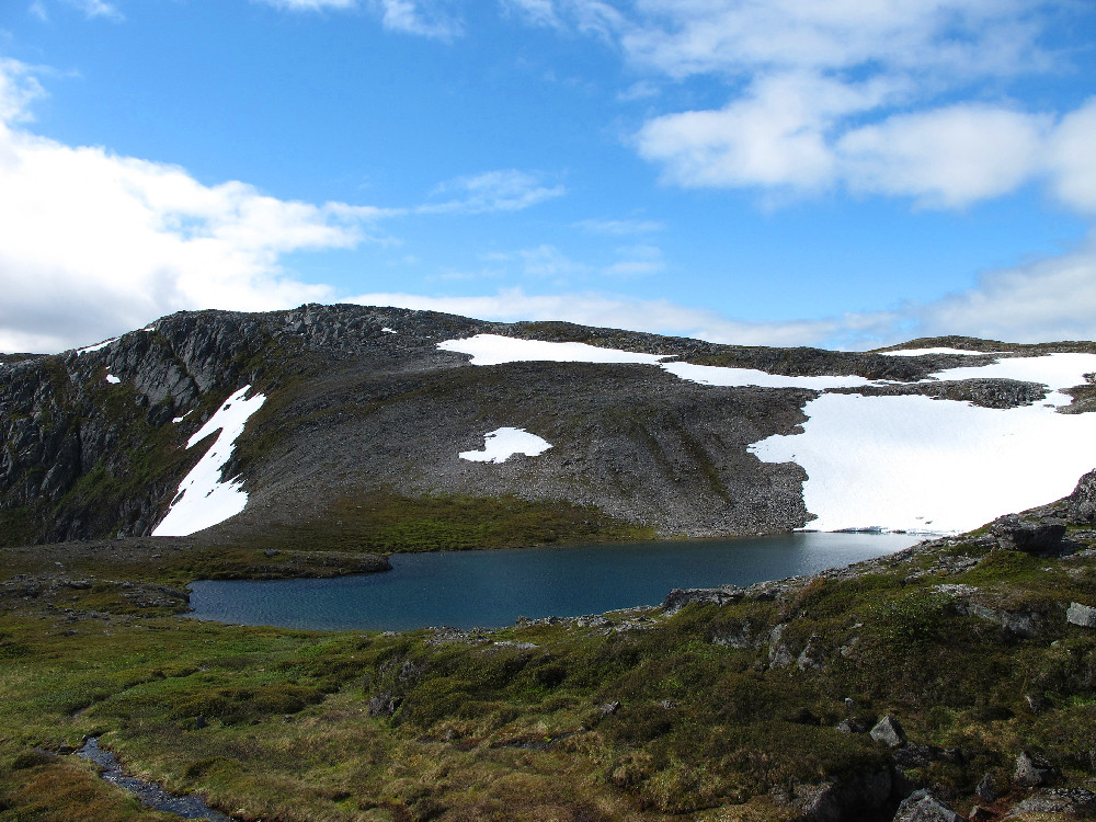
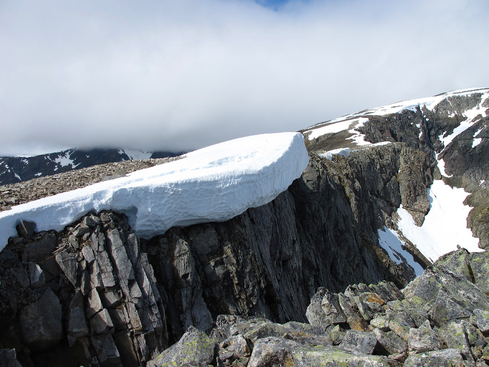
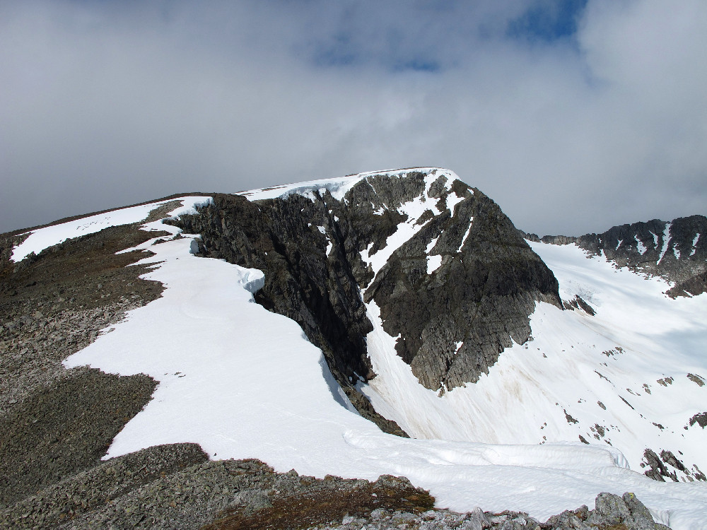
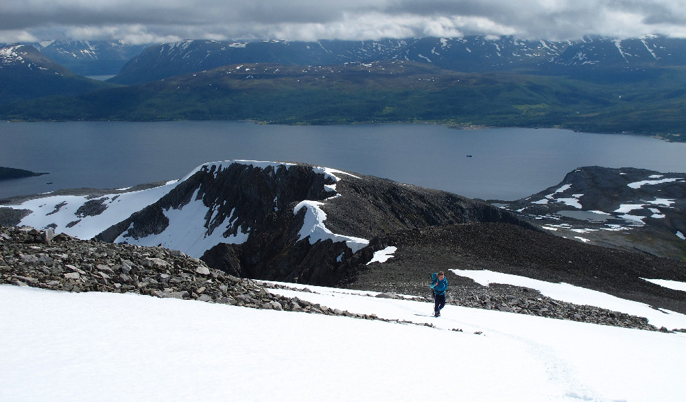
Once out of the trees a bit of steep ground brought us to a small lake, then a steady climb up grassy hillside (with lots of lovely flowers) towards Glimfjellet. From here the way ahead looked much stonier, and what appeared to be an easier line just turned out to be darker coloured boulders! Fortunately we were able to link a series of snow patches which avoided most of the boulders. Higher up the ridge became more defined, with the remains of some huge cornices still overhanging the steep right hand side. A final pull up broader snow slopes took us to the summit cairn, perched close to a very steep drop overlooking a minature glacier.
Route map
Online mapWaterfall near the start
The small lake
A monster cornice
The final part of the ridge
On the summit