free to be able to rate and comment on reports (as well as access 1:25000 mapping).
SaturdayHewitts: Grey Crag, Tarn Crag, Selside, Branstree, Harter Fell, Kentmere Pike, High Street, Thornthwaite Crag, Stony Cove Pike.
Date: 11/08/2012
Distance: 36 km
Ascent: 2140m
Time taken: 10 hours 30 minutes
Hot, sunny and a bit hazy, soon becoming very hazy.
It has been a good few years since I was last in the Lakes, but when I discovered that it was now quicker to get to than Snowdonia, I thought it was time to make a visit. On the upside, the Virgin trains on the West Coast line are very fast, quiet and comfy at that time of the morning, and I was starting my walk in Burneside just after 8:30 am - a mere 2 hours and 15 minutes after leaving Birmingham

. On the downside, pretty costly, weighing in at over double the price of a trip to Wales

I had picked a rather arbitary route on the map, starting from somewhere easily accesible by train, and doodling across some areas I had never visited before. However, my bagging OCD got the better of me, and I stupidly looked at the Hewitt map of the Lake District before leaving. Suddenly my route had grown lots of stupid dog-legs and out-and-back tails, and was 30% longer

. The daft thing is I'm not going to be completing all of the Lakeland 2000ft fells any time in the forseeable future, so I could have easily left a couple of the outlying summits for another trip

.
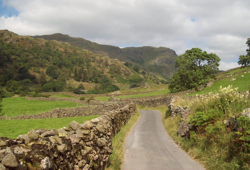
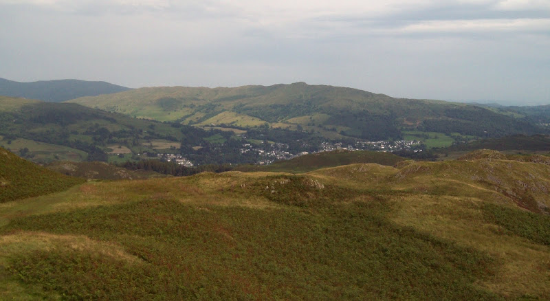
The first hour or so was along deserted minor roads, although I could hear traffic on the nearby A6 in the background. It was clearly going to be a nice, if hazy day, but the heat hadn't really arrived yet. Getting bored of the tarmac, I followed a bridleway up the west side of Long Sleddale - aptly named as it really is l-o-o-o-n-g! I only passed a couple of other folk. Despite being a short hop from the motorway, this clearly isn't the Lake District that brings people flocking in their thousands. All the better for me!
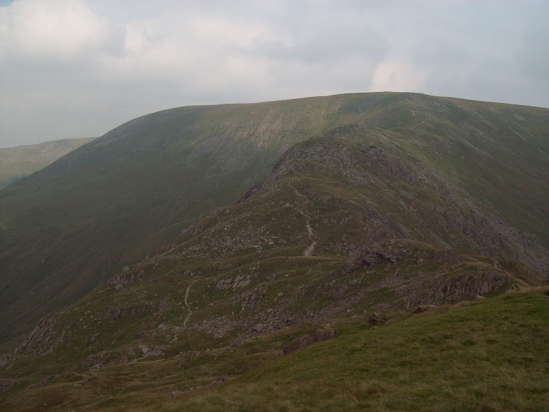
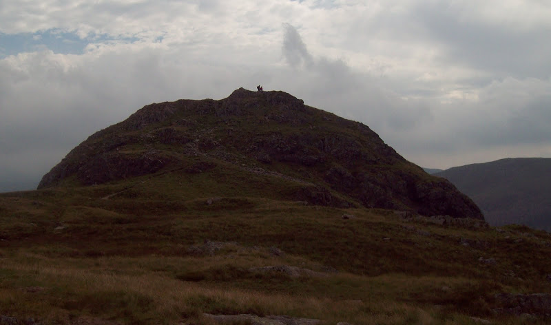
Kentmere Pike from Long Sleddale:
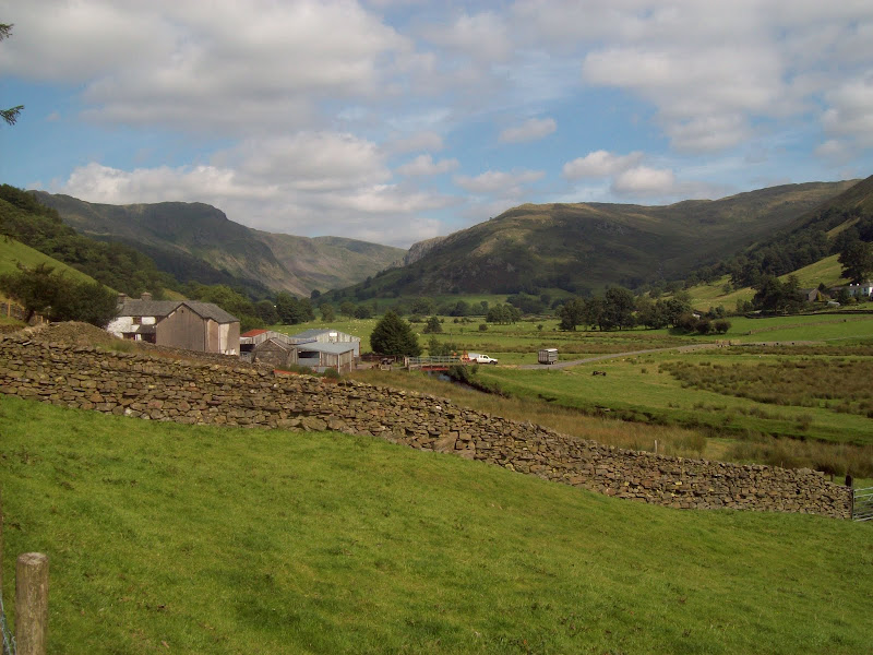
Finally reaching the roadhead at Sadgill, I entered a field and climbed a wall at the edge of the improved grazing, which took me onto the open fellside of Great Howe. This was bracken covered and rocky in places, and there were few signs of a path until I passed some small trial quarry workings higher up. My original plans for the weekend had involved arriving on the Friday evening and wandering up here in the dusk to camp, but it would have cost me at least £10 more on the train, so I didn't bother.
Back down Long Sleddale:
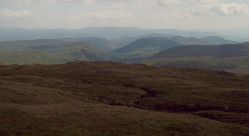
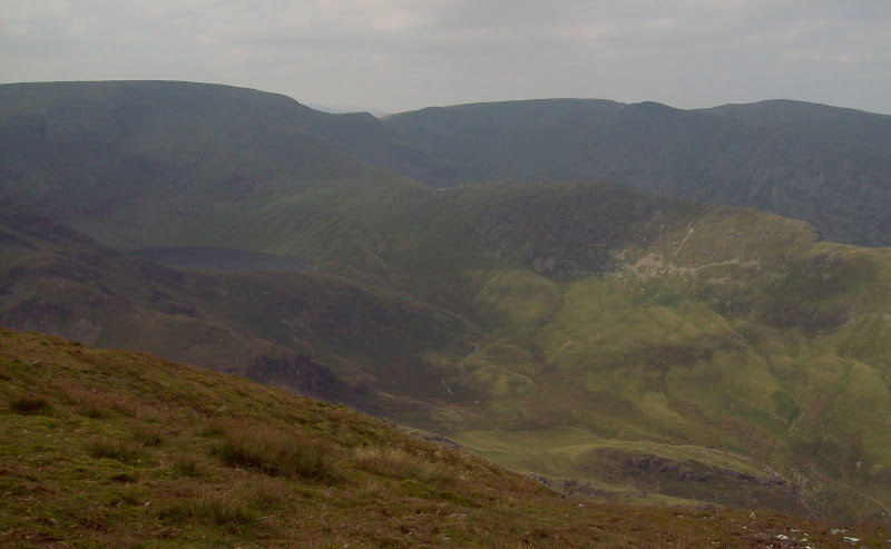
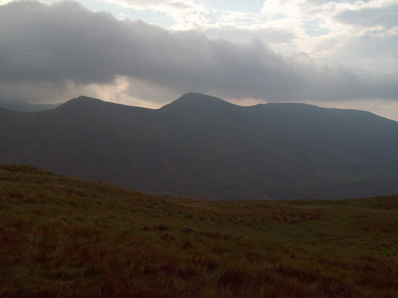
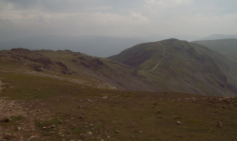
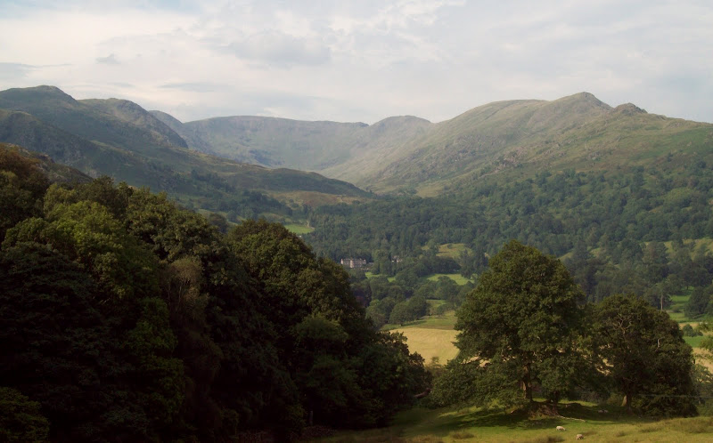
The going was a little marshy, but a faint path led towards the first summit of the day, Grey Crag. I soon veered off this and dumped my heavy pack to do the last 5 minutes to the top. The haze was a bit restricting but there were good views south and east from Cross Fell to the Howgills. The terrain was unlike any of the more popular parts of the Lakes, and appeared to have much more in common with the rolling Pennines to the east.
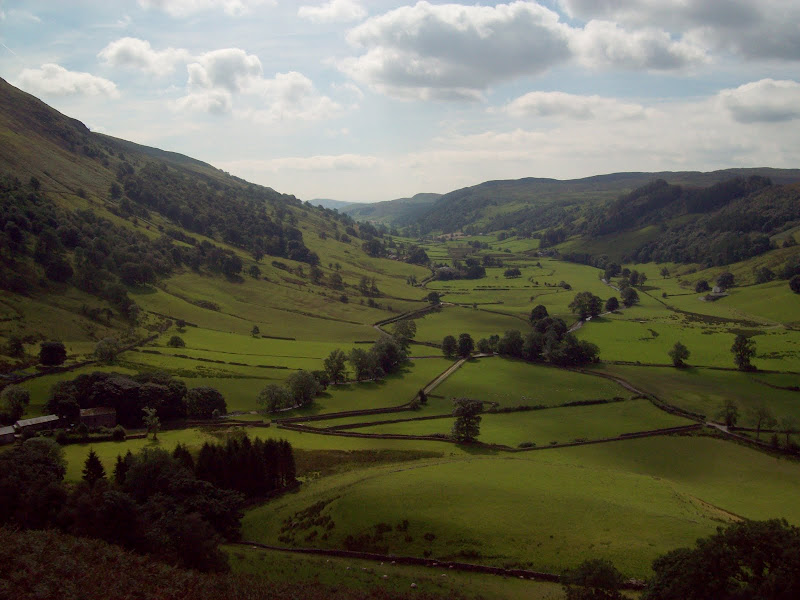
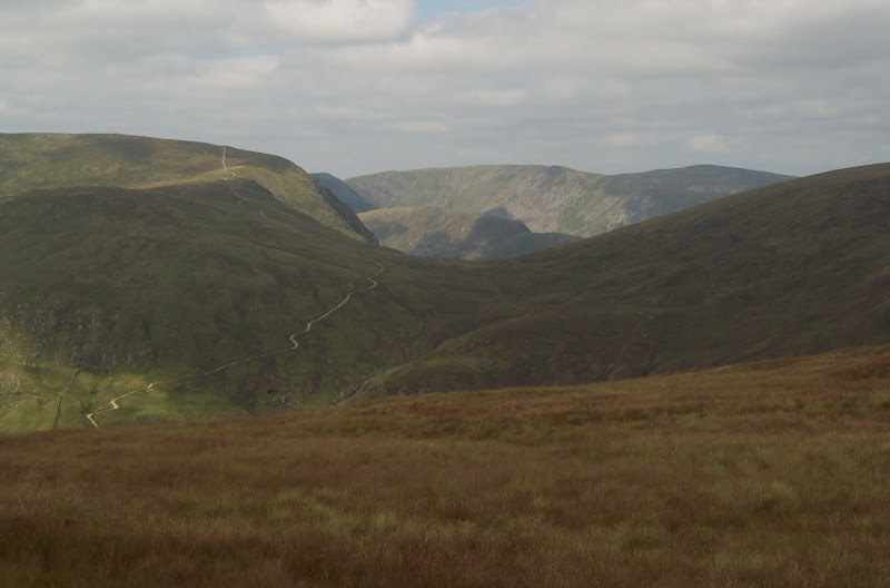
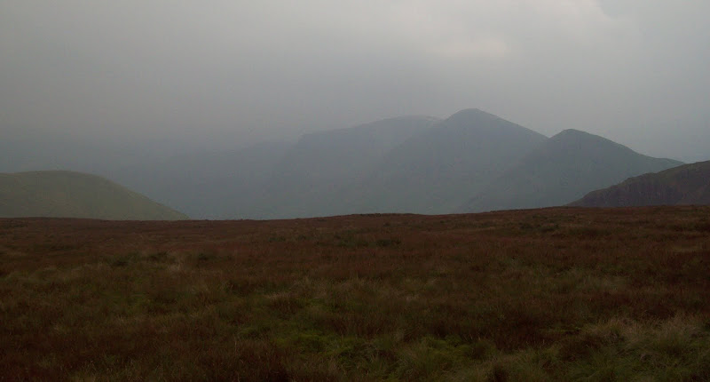
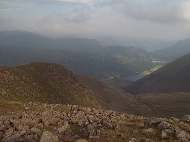
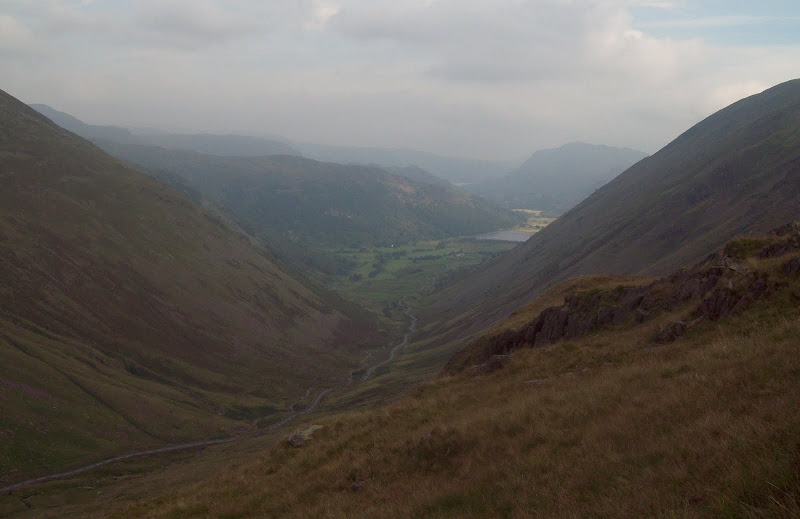
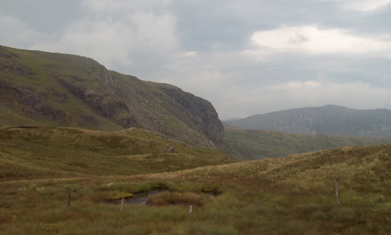
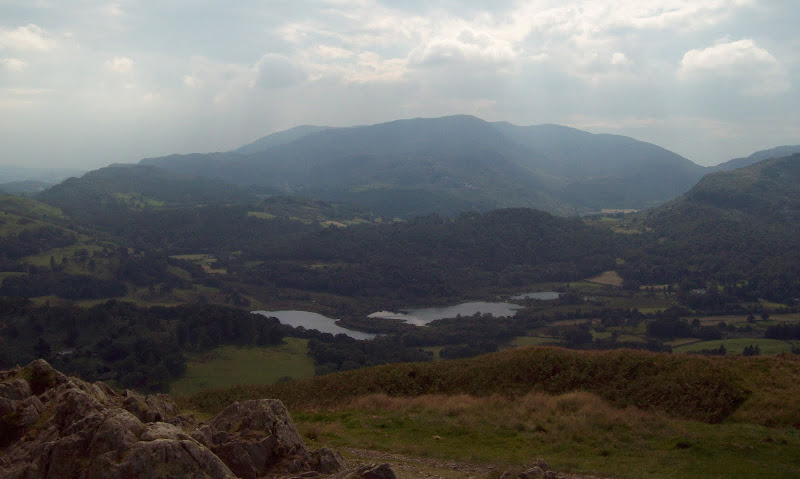
Down Borrowdale to the Howgills:
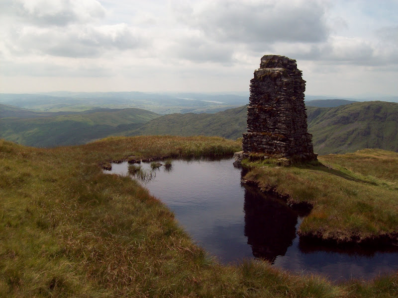
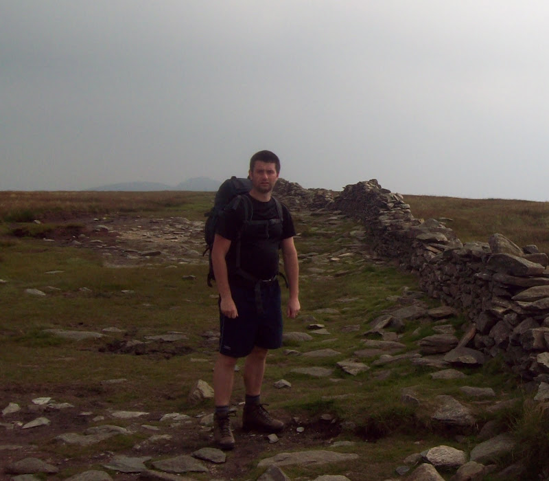
I retraced steps to my bag and crossed a marshy area to climb up to the pillar on Tarn Crag. I had spotted 3 or 4 other folk in this area, but so far no-one had actually crossed my path. The pillar on the summit was odd, as it had a recess on the top, as if it had once held something (I passed 2 or 3 more of these on the eastern part of the walk). I had a well-earned break here, as it had taken me 4 hours from Burneside, and I barely felt like I'd started on the hills.
Summit of Tarn Crag:
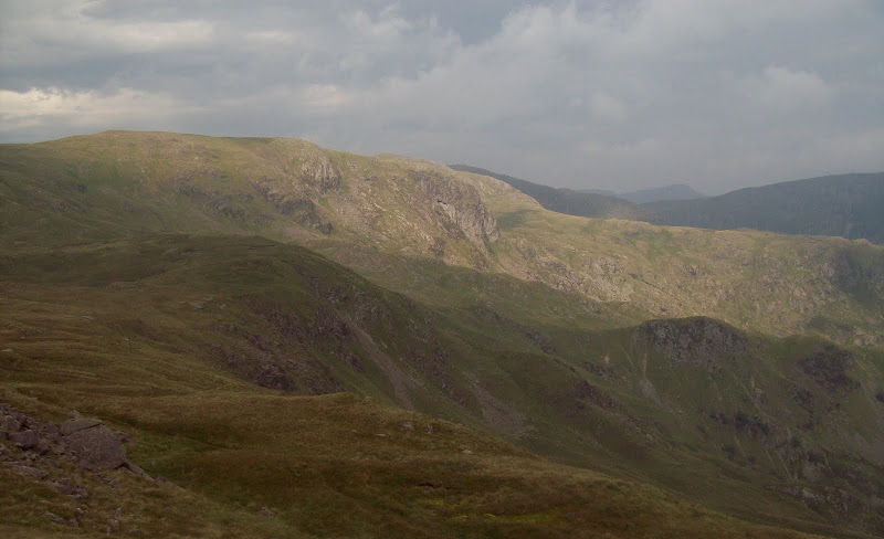
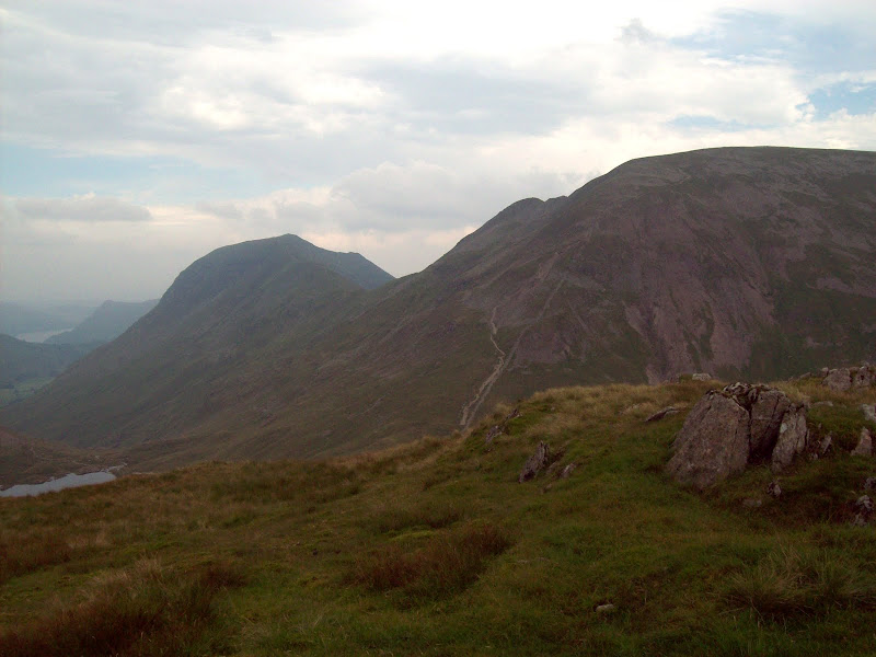
Harter Fell and High Street:
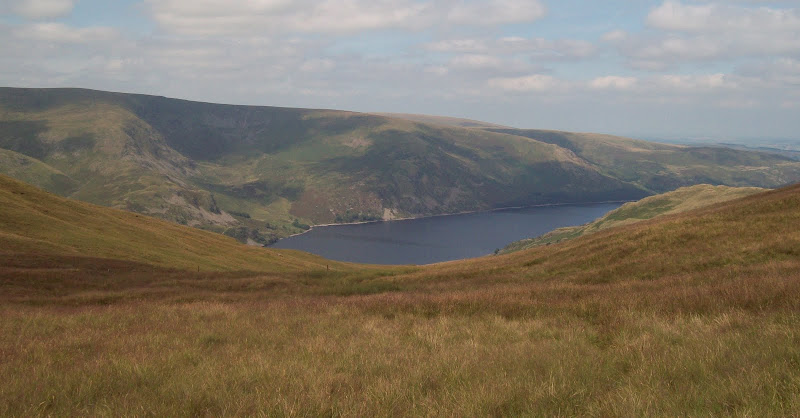
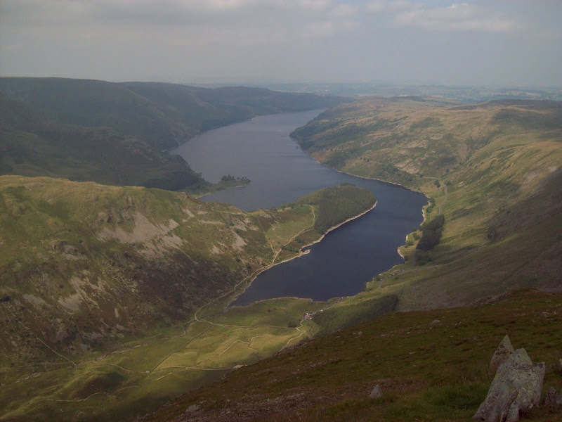
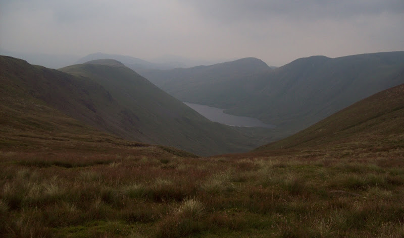
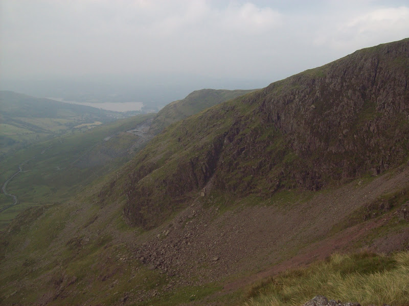
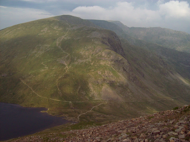
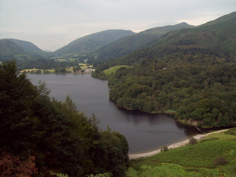
It was a quick descent to the northern col, followed by a grassy climb up the shoulder of Branstree. In order to pick off the outlying summit of Selside, I contoured Branstree. This was easy going, and a path even developed further round. I ended up dropping off this and losing some height in order to refill my water bottles. I left my bag next to another pillar and crossed over the minor intervening summit to reach Selside. In doing so, good views of Haweswater opened up. Considering the dryness of everything, this looked pretty full. I have seen photos of it low enough to expose the drowned village of Mardale Green.
Haweswater:
High Street from Selside:
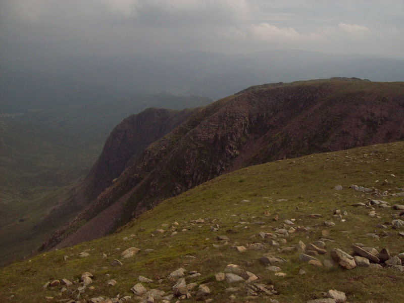
I followed a fence contouring across slopes back to my bag, finally passing two walkers who I'd followed uphill earlier, and onto the summit of Branstree. This was fairly flat and nondescript, but as I started to descend, good views opened up to Harter Fell. This was much bigger and craggier than I'd realised, and also seemed very popular. There was a monster path up the winding eastern ridge. I had a break amongst the rocks on the ridge and watched a large group of mountain bikers descend the Gatesgarth Pass.
Haweswater from Harter Fell:
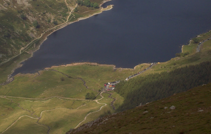
Busy carpark at the head of Haweswater:
Blea Water, High Street and Kidsty Pike:
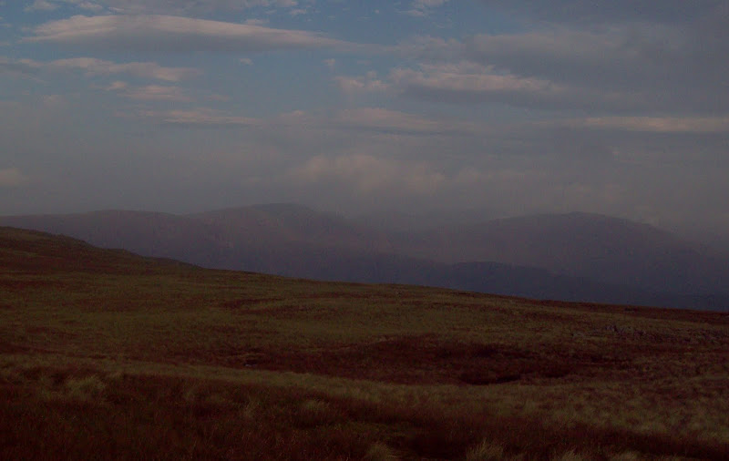
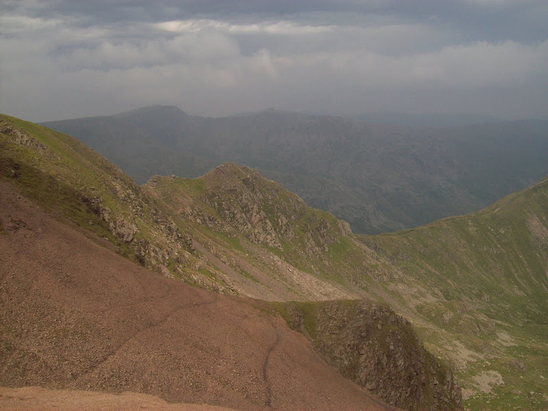
Once over the summit of Harter Fell, the haze drew in in a way that I've rarely seen before. I have tended to think that haze is a cumulative thing, and gets gradually thicker over a number of days, but this stuff thickened in about half an hour! Coupled with an increase in cloud cover, it all became quire eerie.
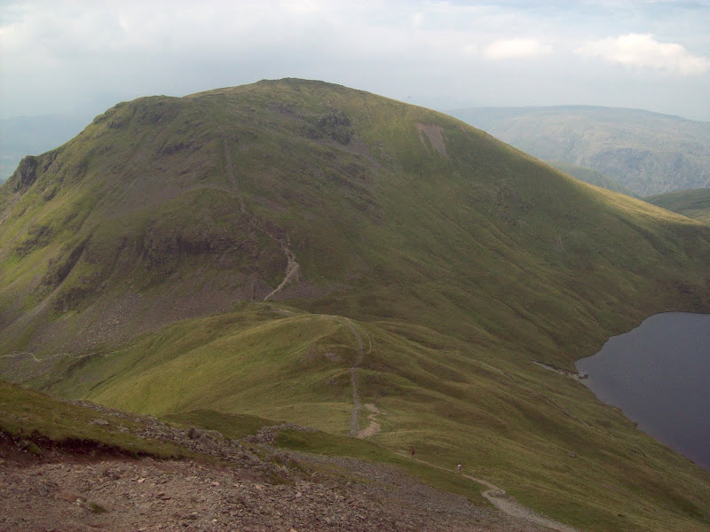
Next was a quick out-and-back to Kentmere Pike, a slightly annoying diversion which would sit much better in the Kentmere round than my walk. Quite a few people out this way, and I dumped my sack again to make the going easier. I normally dislik these out-and-back additions to a route, but the chance to walk without a small dwelling on my back for 30 minutes was quite pleasing! I contoured back round the western slopes of Harter Fell. This gave me good views of he ridge of Yoke, Frostwick and Ill Bell, although the light wasn't the best at that point.
Yoke, Ill Bell, Frostwick and Kentmere Reservoir:

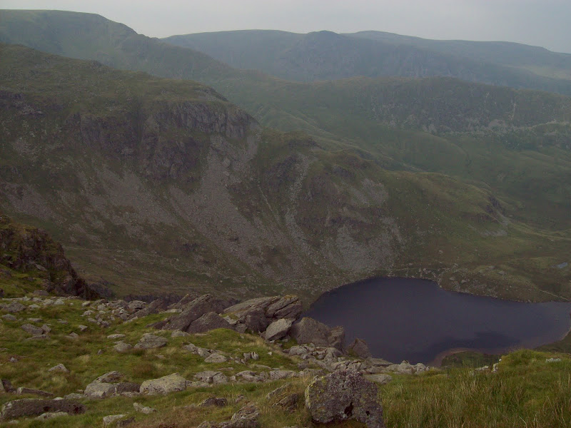
Back on the path and I stopped again overlooking Small Water, before continuing over to Mardale Ill Bell. Every ascent was hot and sweaty, but the cloud had its uses, and kept the direct sun off me at least.
Small Water from Mardale Ill Bell:
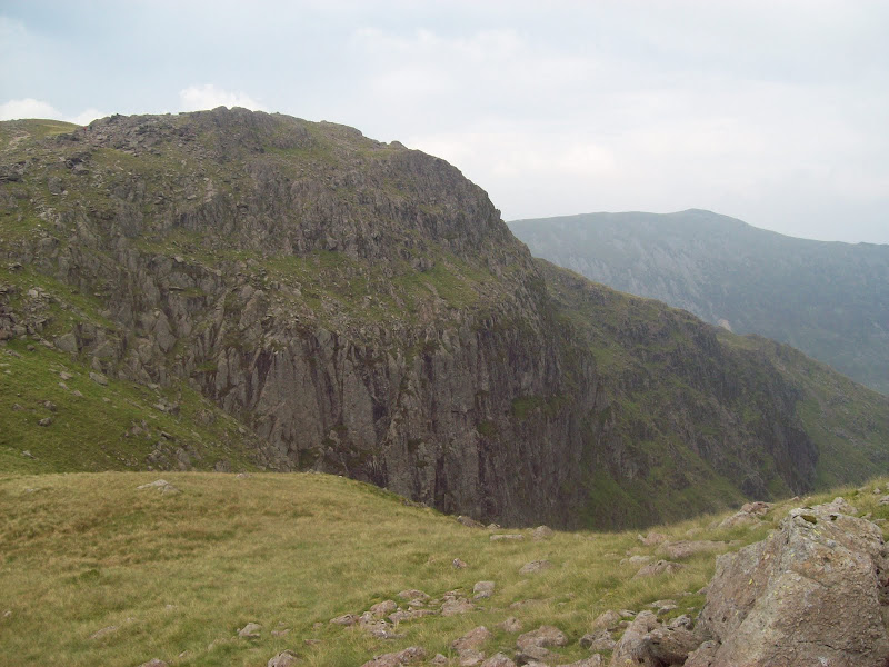
NW ridge of Harter Fell:
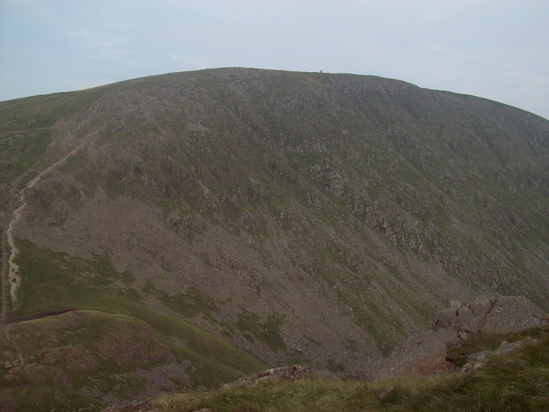
The path over High Street seems fairly revently improved - I had come this way on my first ascent of the hill when doing it from Haweswater, and I don't remember anything like it. Then again, maybe I cut cross country to stay near the edge of the cliffs - I have no idea. An easy stroll took me to the trig point - my third time there. For all of its intricate corries and ridges, the summit of High Street is very benign and grassy, and the best views are obscured from the centre of the plateau.
Yoke, Ill Bell, Frostwick from High Street:
Summit of High Street:
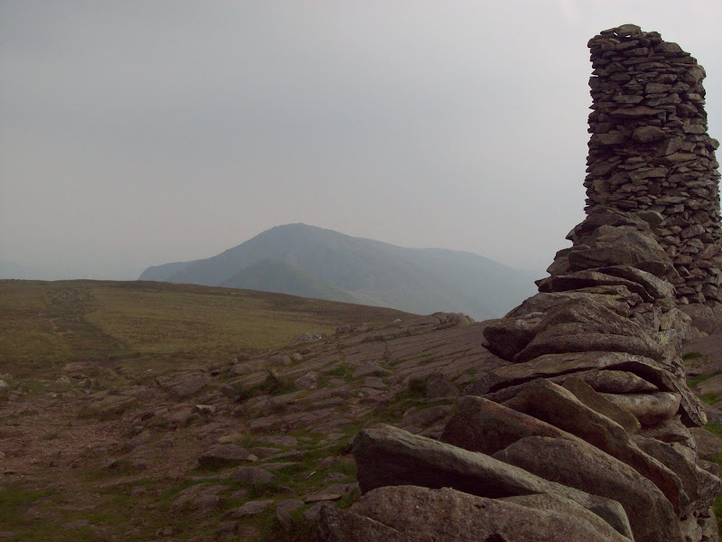
Grey Crag, Hayeswater, Rest Dodd:
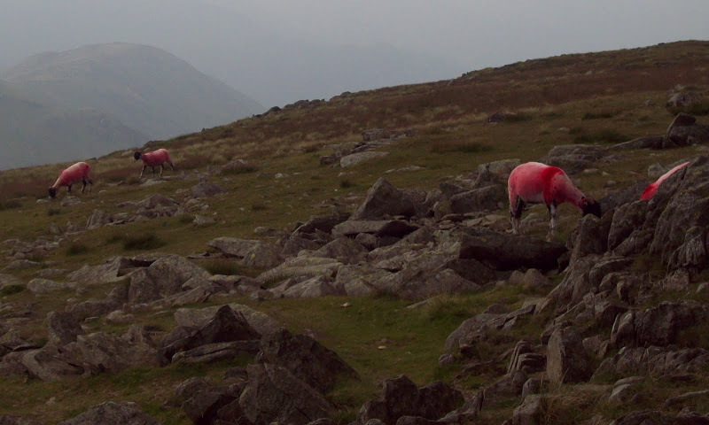
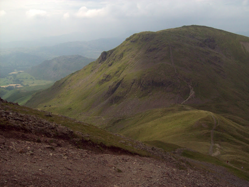
Another easy walk led me to the large beacon on the summit of Thornthwaite Crag, where some recently sheared sheep had been dyed all over in red - a strange sight! Then an unexpected steep descent to the col beneath Stony Cove Pike. The descent, corrie to the north and the Pike were all much rockier than I expected.
Bloody sheep:
Ill Bell from Thornthwaite Crag:
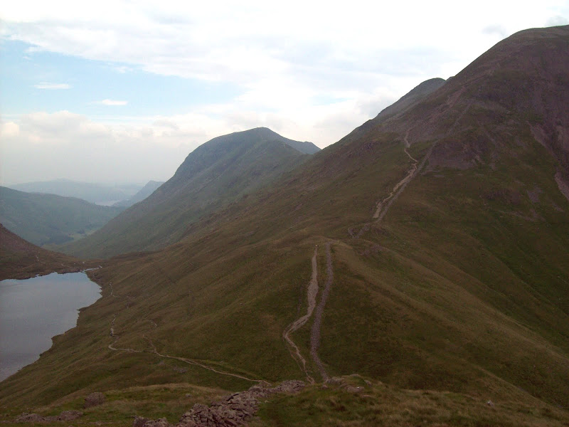
I dumped my bag again and took my bottles down into Threshthwaite Cove in the hunt for some water. I probably had to descend 100 rather steep metres before finding a trickle of water, but I didn't want to rely on the tarn on the summit of Stony Cove Pike as a supply in case it was a bit nasty.
West face of Thornthwaite Crag:
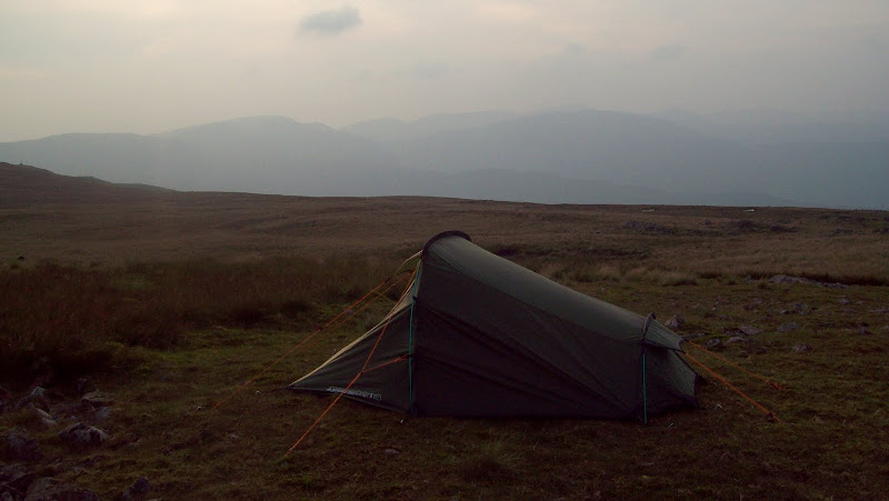
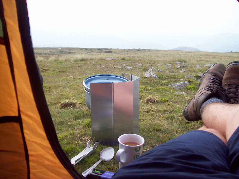
A short steep climb with occasional use of hands was required, and then I was at my destination for the day. Unsurprisingly, being a weekend in the summer holidays in the Lakes, I was not alone, and someone had already bagged my intended spot by the tarn. I made do with a flattish section of grass just far enough away to be antisocial, and got my tent up.
Camping on the summit of Stony Cove Pike - Fairfield behind:
I managed to drop half of my dinner on the grass, leading me to ponder a couple of questions for the rest of the evening - a) how much sheep **** did I scoop back into my dish, and b) did it make things taste worse or better?
Dinnertime:
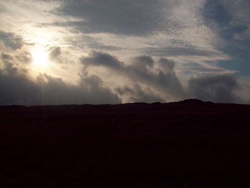
It was a great spot to camp, but there was far too much cloud and haze to make a decent spectacle of sunset, so I went to bed and read a bit instead of running around with the camera.
~~~~~~~~~~~~~~~~~~~~~~~~~~~~~~~~~~~~~~~~~~~~~~~~~~~~~
SundayHewitts: Red Screes, Little Hart Crag, Dove Crag, Hart Crag, Fairfield, Seat Sandal.
Sub 2000 Marilyns: Loughrigg Fell
Date: 12/08/2012
Distance: 25 km
Ascent: 1450m
Time taken: 8 hours 15 minutes
Weather: Hot and hazy. Intermittent sunshine and a couple of threatening drops of rain.
After the laziness of my last camping trip to the Rhinogs, I decided that I needed to get moving at a reasonable time of the morning. The haze was still pretty severe, but there were spells of sunshine too, and I enjoyed a leisurely breakfast before packing up and moving on at about 8:30 am. The other camper had left before I even woke up.
First light:
Dodgy light in the morning - looking towards Fairfield again:
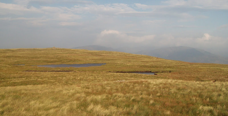
Tarn on Stony Cove Pike:
I took a short diversion north to peer over the edge of Caudale Head - definitely worth a quick diversion. Then I descended towards the Kirkstone Pass, passing a memorial cairn. I went off path for a short while in the search for more water, finding a boggy dribble nearby.
Brothers Water and Patterdale. Ullswater just visible:
Frostwick, Ill Bell and Yoke again:
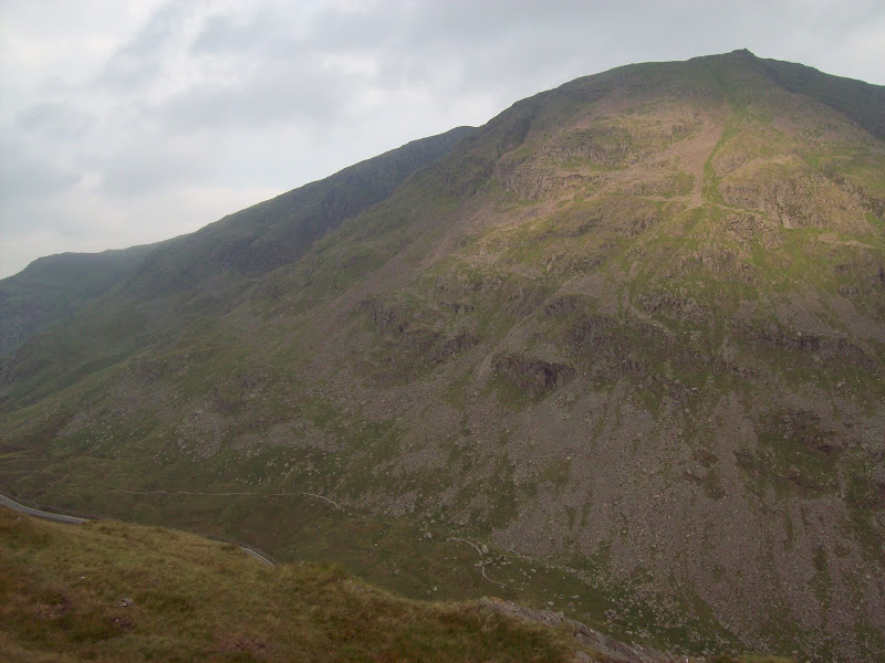
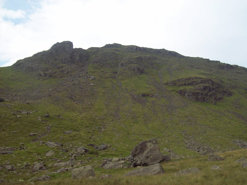
Not bothering to consult the map, I didn't realise that I needed to climb over St. Raven's Edge, and contoured round its western face instead on steep and rocky ground. Red Screes was now looming large above me - the most impressive hill of my walk so far. I had a feeling that its ascent could be quite painful!
Red Screes from above the Kirkstone Pass:
Patterdale and Brothers Water again:
Actually the route was fine, as the first half had stone steps built up it - none of the scree scrabbling that I'd envisaged. It reminded me rather a lot of the climb up to the eastern end of Liathach.
Path up Red Screes:

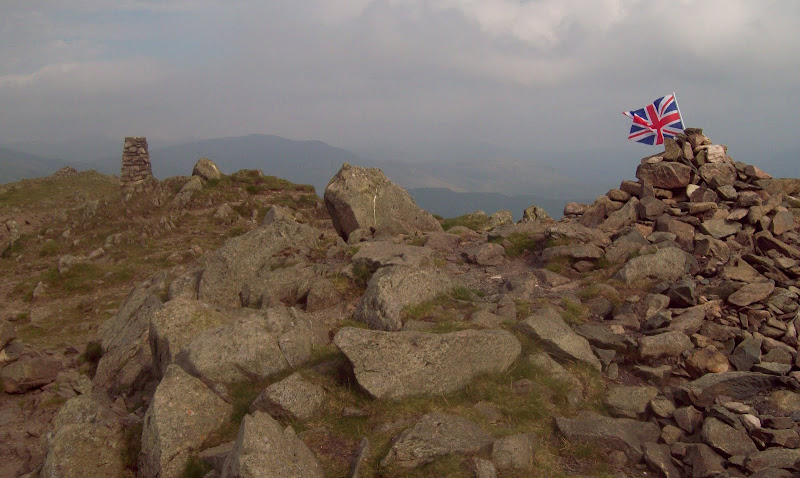
Fortunately, unlike Liathach, the ascent was over in little more than 30 minutes. To the south it was so hazy that the full length of Windermere was not visible. Someone had also planted a flag in the summit cairn.
Windermere and Red Screes:
The most patriotic summit of the walk:
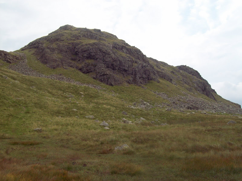
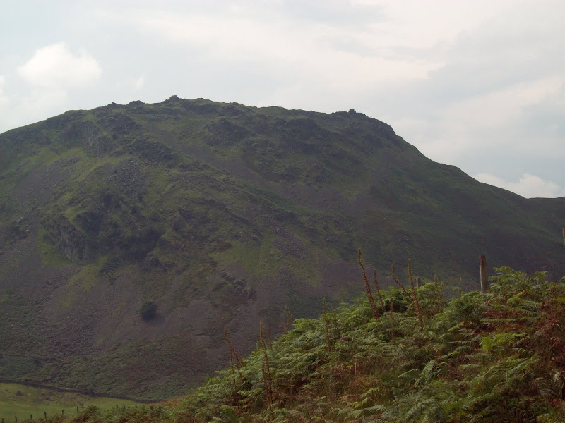
After a short break on the summit, I descended the NW slopes. Little Hart Crag was a little off the route, and looked unexciting on the map. However, reality was different, and it actually turned out to be a spiky little outcrop. I abandoned the bag at the foot and legged up it to try and get some photos with some sunshine in.
Little Hart Crag:
St Sunday Crag from Little Hart Crag:
Back to Little Hart Crag:
Back to the bag again. Despite a few people milling around, this whole area between the Fairfield Horseshoe and Red Screes had a pleasant quiet feel to it. I soon shattered that by pulling up onto Dove Crag.
Dove Crag:
Strangely, although Fairfield has 3 or 4 horseshoe type routes on it, the one officially know as the Fairfield Horseshoe is also the blandest. It is very popular though, and as I passed over Dove Crag and Hart Crag, I passed dozens of folk. The going was interesting enough though - this part is probably the rockiest of the official horseshoe.
Eastern buttress of Fairfield:
Back to Hart Crag:
This was my third time up Fairfield, and funnily enough, the horseshoe was the last walk I had done in the Lakes prior to this trip - back in 2005. I had remembered the summit to be similarly bland to High Street, but I had forgotten about the great views east to Cofa Pike Deepdale and St. Sunday Crag.
Cofa Pike and Helvellyn:
St Sunday Crag:
Looking east from Fairfield:
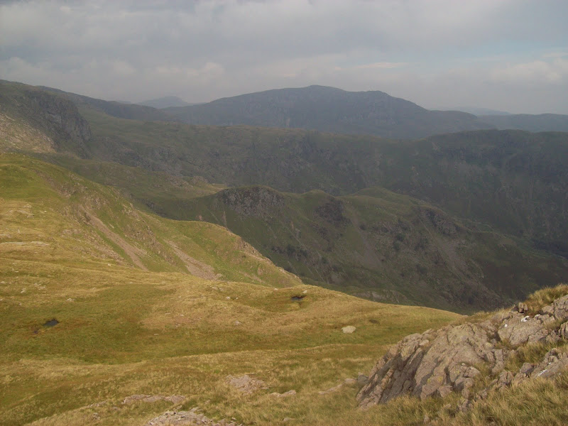
Next was a rather brutal descent to Grisedale Hause. I suppose this path is typical of those on many more popular hills, but as I have mainly avoided these recently, it took me by surprise! The usual eroded trenches and ball-bearing scree had me almost overbalancing at times - definitely easier with a lighter load! Still, the people toiling up it looked more **** off than me. When one guy asked if he was nearly there, I ummed and ahed, and realised that my career as a motivational speaker was unlikely to take off
. It was all compensated by good views of Helvellyn, Dollywagon Pike and Seat Sandal.
Dollywagon Pike, Nethermost Pike and Helvellyn:
Seat Sandal:
Another lovely break in the sun at Grisedale Hause (where a guy was very slowly headed up Fairfield with an even bigger pack than me, complete with lots of stuff dangling off the outside), then - pack free again - up onto Seat Sandal. I was going to traverse this and come down the SW ridge, but the chance to ditch the weight got the better of me, and I returned to Grisdale Hause.
St Sunday Crag and Fairfield from Seat Sandal:
I used the old bridleway down to Grasmere rather than the more popular footpath, and very nice it was too. Another break (seemed to be becoming a habit today) and a chance to top up with water before hitting the roads for a couple of miles of tarmac pounding. Looking up at Helm Crag, I could see tiny figures climbing on and off the summit tor - like a minature version of the Cobbler.
Crags on SE face of Seat Sandal:
Helm Crag:
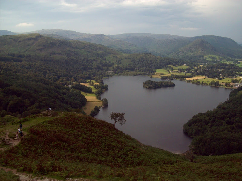
Descending Tongue Gill with Grasmere and Loughrigg Fell in front:
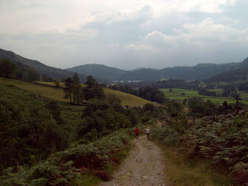
Getting the bus back from Grasmere was an option, but it was far to early for that (about 2pm. My train home from Oxenholme wasn't until 8:20 pm), so I decided to stick to my most ambitious plan and walk back to Ambleside via Loughrigg Fell. Quiet back roads around Easdale led to busier roads in Grasmere. I could probably have found a way using footpaths instead, but couldn't be bothered with the mapreading required for that. I struggled to pass the ice-cream shops in Grasmere without stopping, and headed for Loughrigg Terrace.
Grasmere with Dunmail Raise in the background:
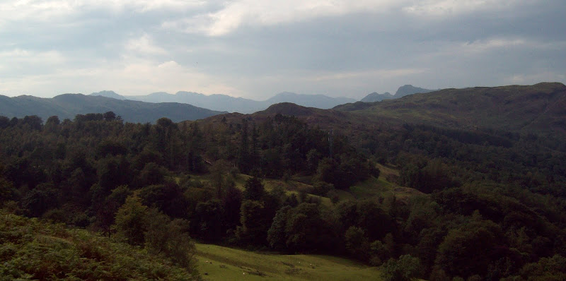
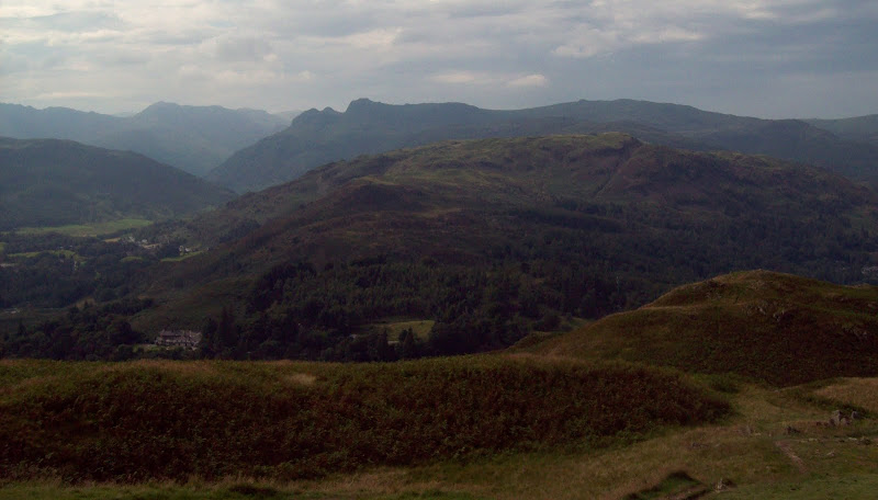
West to Bowfell and the Langdale Pikes:
Grasmere and Easdale from Loughrigg Fell:
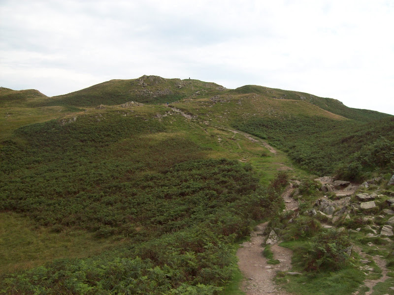
Some lovely views from the terrace were followed by a fairly brutal ascent of the fell, although on a well-made path. It was busy up here, as you get quite a lot of view for your 335m of elevation. It was quite clear that with my tent and sleeping bag, I was the most over-prepared person on the hill
Finally some decent views west to Langdale and the Coniston Fells, and there was a lovely maze of less-used grassy paths on the SE side of the summit. If this hill was in the highlands, there is a high chance that it would be one of the hardest going bits of terrain around. Time for yet another break!
Loughrigg Fell summit:
Looking to Ambleside and Wansfell:
Elterwater and the Coniston Fells:
Langdale and the Pikes:
Red Screes and Ill Bell:
As I started descending into Ambleside, I could finally see why the Fairfield Horseshoe tag had been applied to that particular round - it certainly had quite an impressive symmetry from this direction. Across the bridge into Ambleside, where I blundered around in the crowds unsuccessfully looking for the bus stop. I found it eventually and decided to push on to Windermere before looking for dinner and a pint. Unwisely I chose the open-top tourist bus, which probably cost twice as much as the usual one. Having spent all day getting burnt, I didn't even sit on the open deck!
The Fairfield Horseshoe:
A change of clothes, a nice pint of Black Sheep ale and a sausage supper later, and I moved towards the railway station. I still had time to kill, both here and in Oxenholme, and passed the time reading. Once on the train back to Birmingham, we were shuffled about and diverted via Manchester, arriving back in Brum long after the last train to the suburbs had left. I spent a frantic 10 minutes dashing around trying to find where the last bus home left from, and thankfully managed to catch it and save myself a 90 minute walk.
Memory is a funny thing, even in the short term, as my photos came out much better than expected. I had been sure that it was so hazy the whole weekend that I could barely see anything. An enjoyable return to the Lakes - something I would do again if it wasn't so expensive!
