free to be able to rate and comment on reports (as well as access 1:25000 mapping).
Route: ‘Kromme Rijnpad’, from Utrecht to Wijk bij Duurstede, the Netherlands.
Distance walked: 35 km
In a way, the story of this route goes back 2000 years and the cities at start and end, Utrecht and Wijk bij Duurstede, thank their existence to Roman expansionism and the dogged resistance of the Germanic Batavi to that rule. Two millennia ago the Romans chose the Rhine as the Northernmost border of their empire and to help them make a stand against the barbarians on the other side they erected countless fortresses. One such fortress, Traiectum, was placed where the Rhine could be forded and another, Levefanum, 30 kilometers upstream at a bend in the river.
The Romans didn’t stay in the area very long, their fortresses burned by the Batavi or washed away by that equally merciless Rhine. But it didn’t matter: the army had brought trade and people, and they would stay. Traiectum grew into Ultrajectum, grew into Utrecht, and Levefanum, by a slightly more illogical naming process, grew into present-day Wijk bij Duurstede.
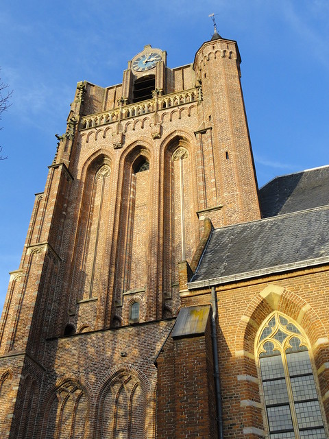
And there they stand today: two gorgeous old towns with windy cobble-stoned streets, elegant old town houses and churches. Utrecht, the city where I was born and raised, rose to fame on trade and religion (Utrecht supplied the only Dutch Pope to date, Adrian VI). It’s incredible wealth enabled it to build a stunning gothic cathedral, complete with dark spires and monstrous gargoyles. The picture below I took about a year ago:
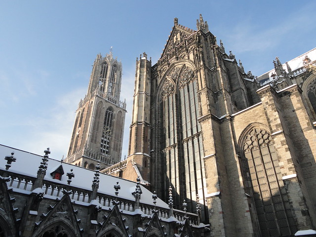 DSC02478
 by
Eleonora F, on Flickr
Ironically, a thousand years after the Romans, it was this economic success that pushed the Bishop in Utrecht to deny the city’s birthright as city on the Rhine and dam the river at Wijk bij Duurstede, forcing all that water to flow to the sea on a more southerly course. This allowed the Bishop to have the marshes east of the city drained, creating much needed arable land.
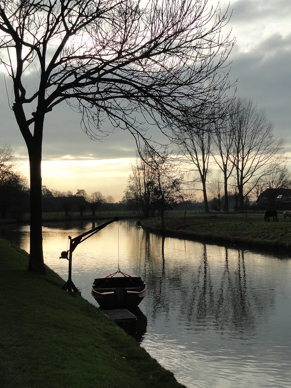
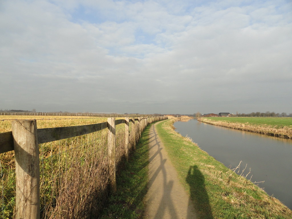
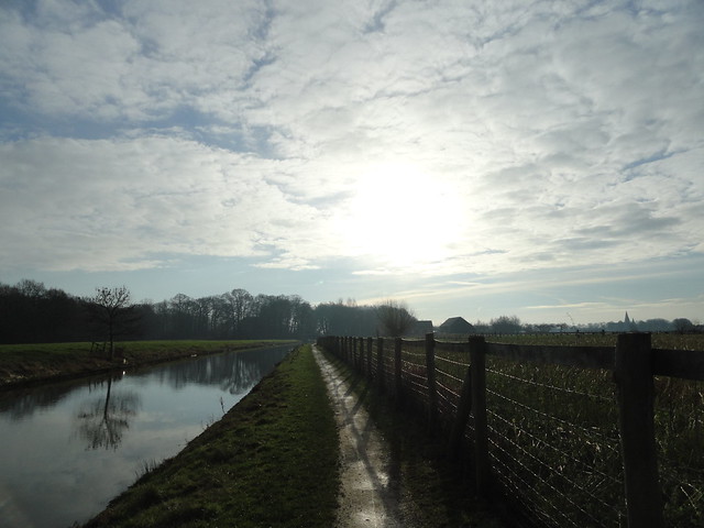
The old course now slowed to a trickle, but for hundreds of years was still used to transport goods and people between Utrecht and Wijk bij Duurstede. Tow paths were constructed to allowed men to pull the boats along, until the arrival of a steam tram made the tow boats obsolete.
Now it’s just walkers like me walking the 29 km along these tow paths. The path is waymarked, though it’s barely necessary (just follow the old Rhine!), and there’s a nice little booklet with background information available. I’d wanted to do this walk for a while now, but was waiting for a nice sunny day (and they've been scarce). Also, I was dreading the distance as I’d misremembered the length as 40, not 30 km. Luckily, I found out the night before it was 10 less. As it was, I had some energy to spare at the end so could have done the 40.
The walk starts less than a kilometer from my house; very convenient! I left before dawn and left the city limits in about 45 minutes. Though I’ve walked this part of the river dozens of times, I’d never been there this early and I loved that pre-dawn moment when sunrise is still a while off and the world around me is so clear and crisp and blue.
 A farm in the dark
 by
Eleonora F, on Flickr
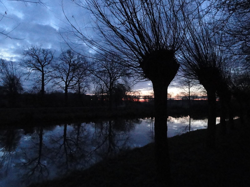 Willows before dawn
 by
Eleonora F, on Flickr
There’s a flock of white geese that live along the river; they never fail to greet me when I walk here. These two were exceptionally curious. I bet others feed them!
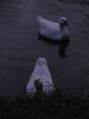 Curious geese
 by
Eleonora F, on Flickr
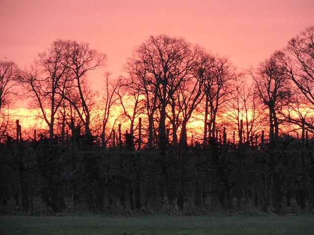
And then, rounding the bend, the sun’s arrival:
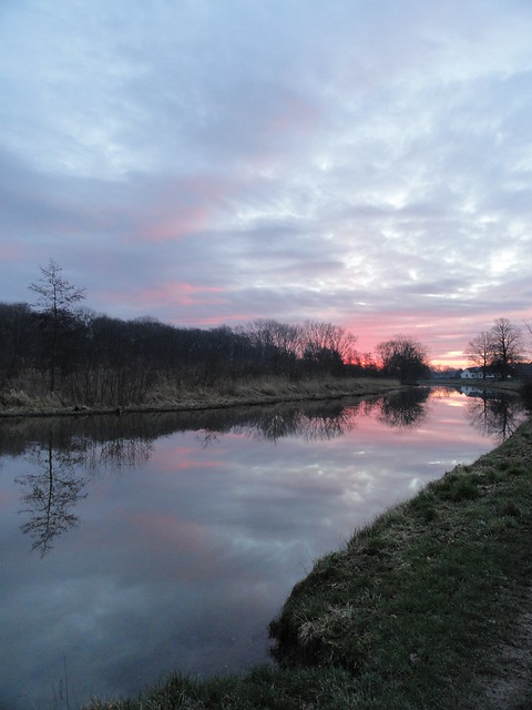 Pink and blues
 by
Eleonora F, on Flickr
 Golden reflection
 by
Eleonora F, on Flickr
 It's burning
 by
Eleonora F, on Flickr
As much as I love hills and mountains, there’s something to say for this flat country of mine as well. There’s so much sky!:
 Morning in Amelisweerd
 by
Eleonora F, on Flickr
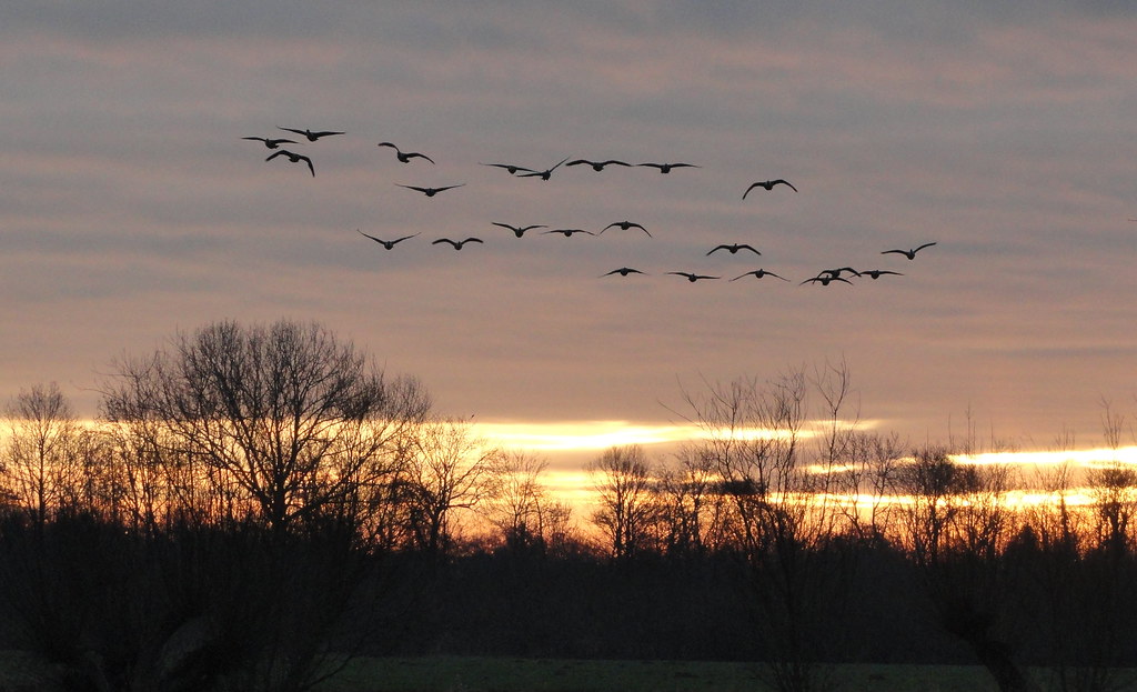 Geese at sunrise
 by
Eleonora F, on Flickr
I came upon some swans with three cygnets. Now, as much as I like their grace and beauty, I’d rather admire them from afar. I’ve been chased before by parents in an over-zealous attempt to protect their little ones from me! Luckily, they didn’t pay much attention to me as I walked past.
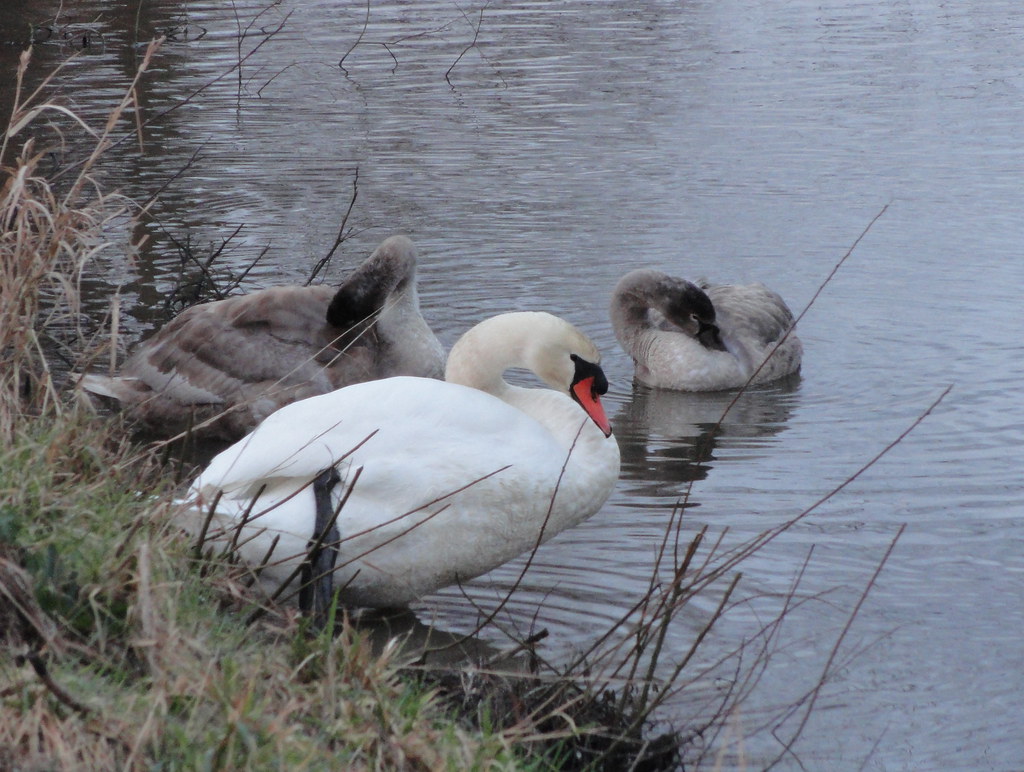 Swan family
 by
Eleonora F, on Flickr
 Young and old
 by
Eleonora F, on Flickr
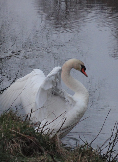 Spreading wings
 by
Eleonora F, on Flickr
The river runs past several estates, some dating back as far as the Middle Ages:
Nieuw Amelisweerd: (17th century)
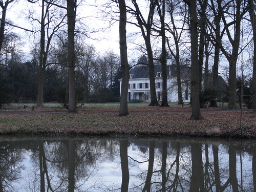 Nieuw Amelisweerd
 by
Eleonora F, on Flickr
Oud Amelisweerd (18th century), with the morning sun reflecting:
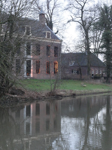 Oud Amelisweerd
 by
Eleonora F, on Flickr
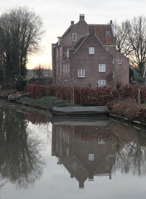
Castle Rhijnauwen (18th century):
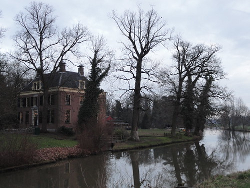 Rhijnauwen
 by
Eleonora F, on Flickr
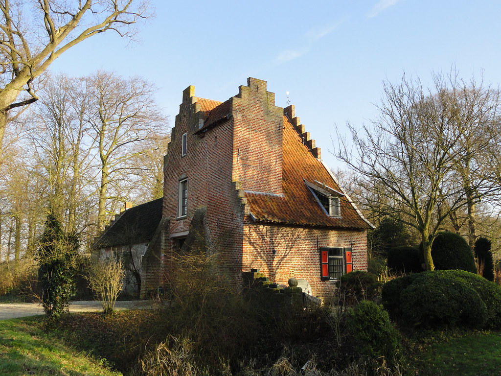
Huis Cammingha (14th century):
 DSC03232
 by
Eleonora F, on Flickr
Castle Beverweert (13th century):
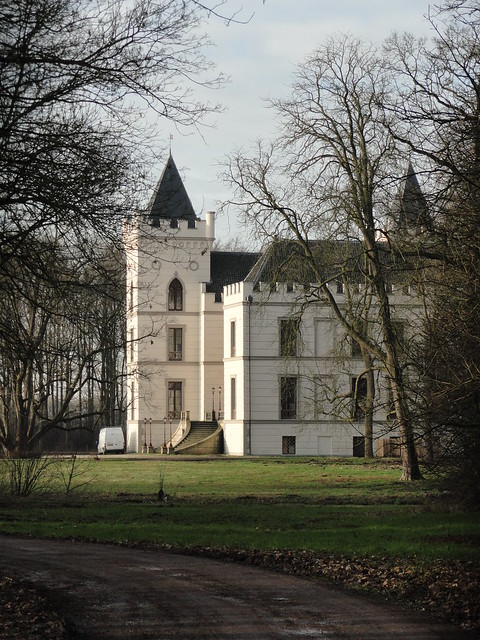 DSC03275
 by
Eleonora F, on Flickr
Castle Rhijnestein (14th century):
 DSC03289
 by
Eleonora F, on Flickr
 DSC03290
 by
Eleonora F, on Flickr
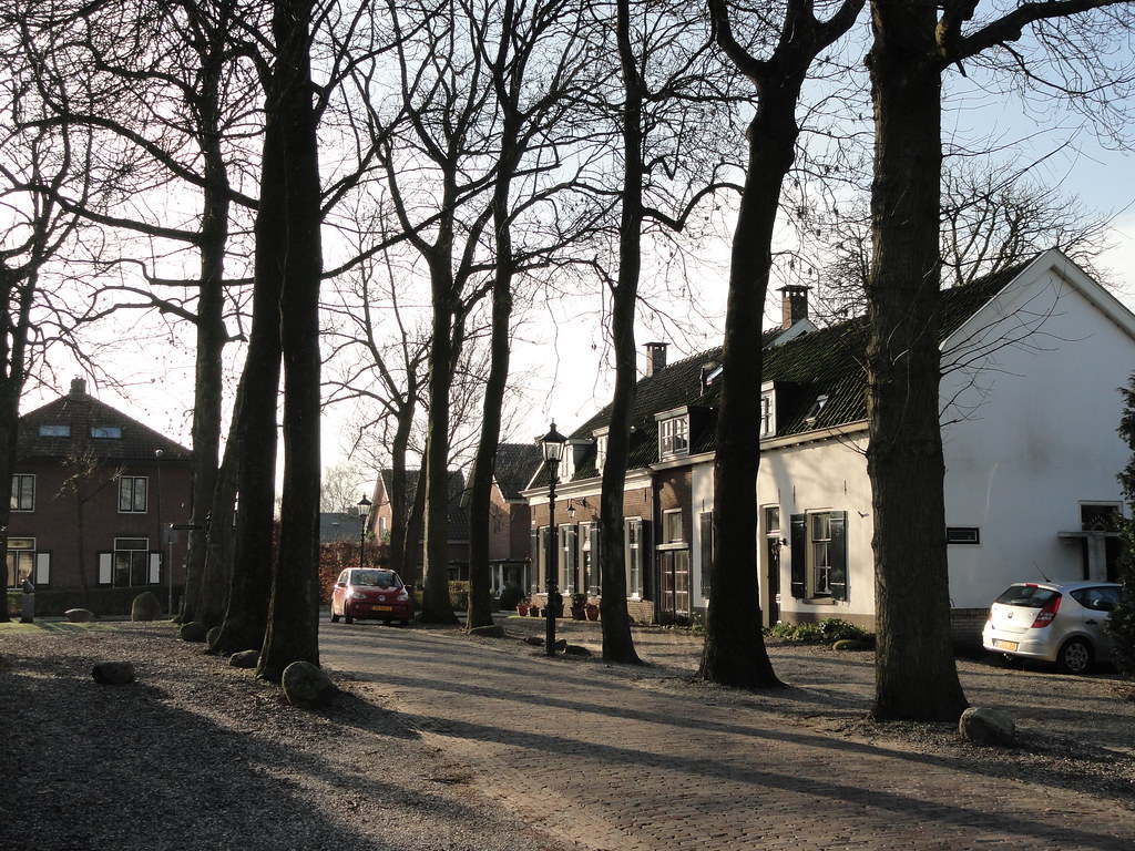
Some cute towns along the way, especially Cothen:
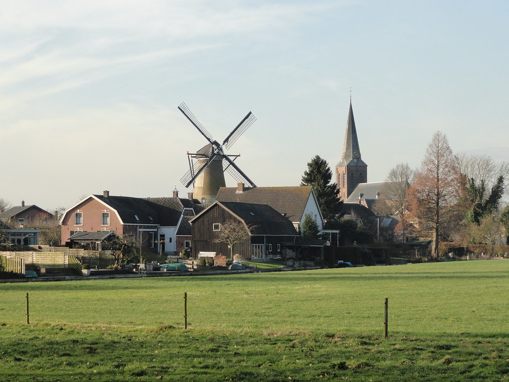 DSC03288
 by
Eleonora F, on Flickr
 DSC03292
 by
Eleonora F, on Flickr
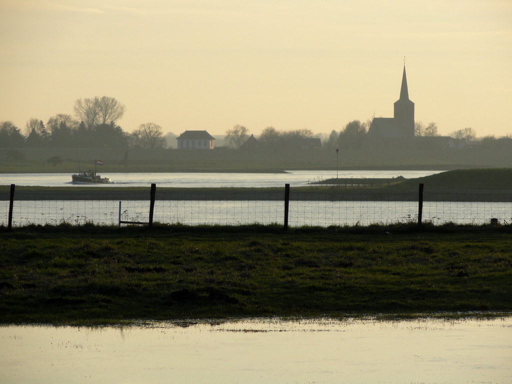
and Wijk bij Duurstede at the end:
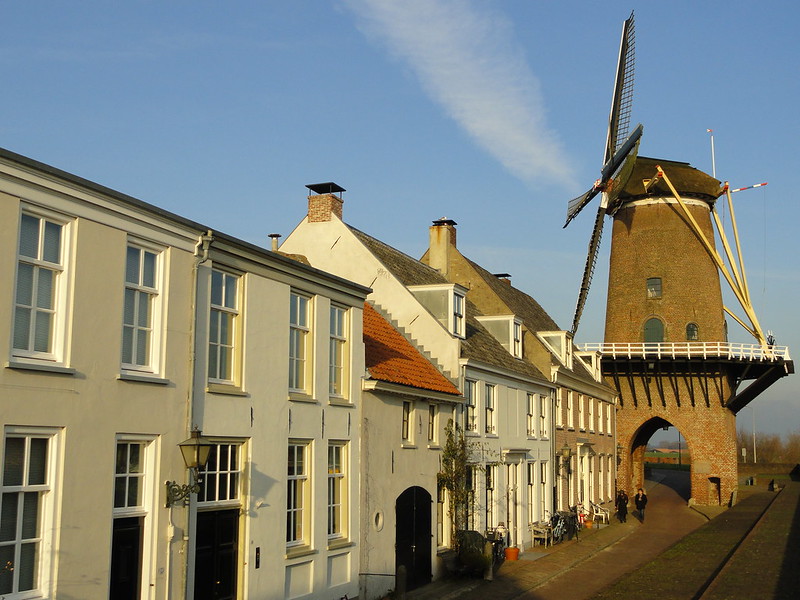 DSC03299
 by
Eleonora F, on Flickr
 DSC03303
 by
Eleonora F, on Flickr
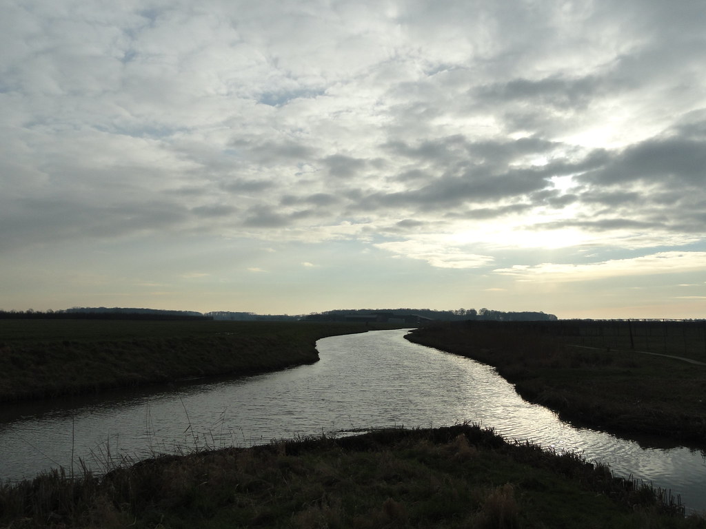
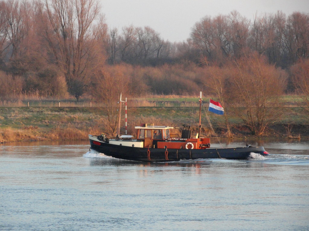
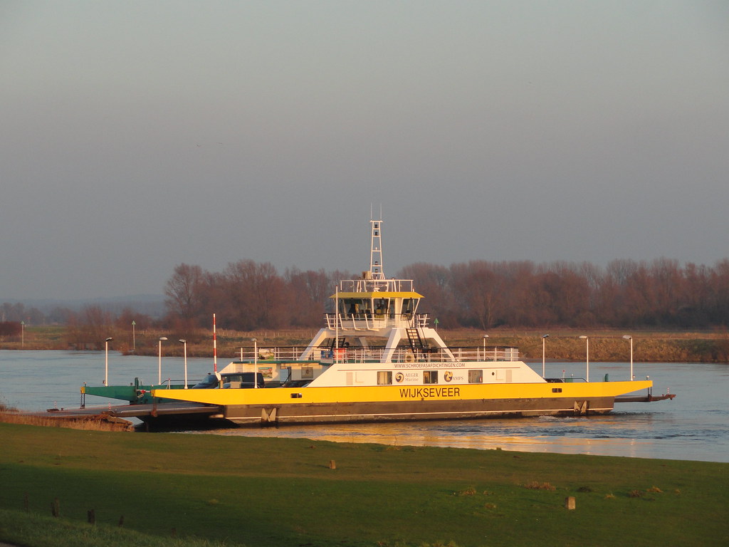
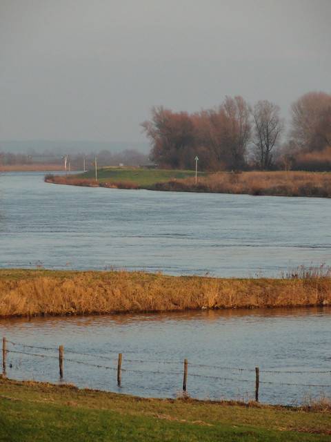
But of course it’s the river and the surrounding open space that took center stage here:
 DSC03236
 by
Eleonora F, on Flickr
 DSC03242
 by
Eleonora F, on Flickr
 DSC03257
 by
Eleonora F, on Flickr
 DSC03256
 by
Eleonora F, on Flickr
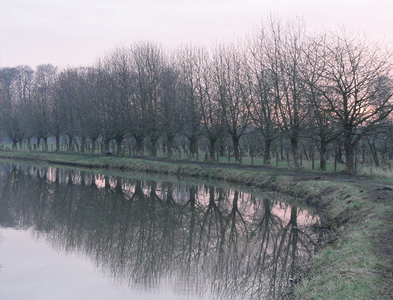 Willow trees lining up
 by
Eleonora F, on Flickr
 DSC03313
 by
Eleonora F, on Flickr
 DSC03322
 by
Eleonora F, on Flickr
 DSC03317
 by
Eleonora F, on Flickr
And here’s Utrecht’s one and only hill in the background. This ‘Utrechtse Heuvelrug’ is a ridge that was left after the glaciers pulled back at the end of the last ice age. It’s a staggering 70 meters high!

 Lek
Lek by
Eleonora F, on Flickr
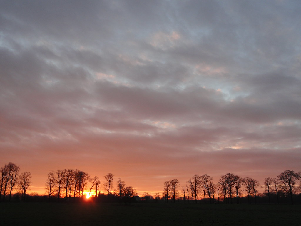
Sunset wasn’t as spectacular due to a thick band of low cloud, but I had a wonderful day anyway so it didn’t matter much. I walked back along the river into Wijk bij Duurstede and took the bus home. Rather silly that it took me 8 hour to walk there, and only 40 minutes to drive back.

