
Catstycam and Birkhouse Moor
Catstycam is on my list of "Wainwrights I think I have climbed in my youth, but can't 100% remember" - as such it's counted in my tally but I need to climb it again to be sure before I will consider all 214 "complete". We were considering including Swirral Edge, Helvellyn and Striding Edge on this walk, but we would have to leave the dogs behind, so in the end we decided on this route that gives us great views of Helvellyn and the ridges, without actually walking them.
I was a bit nervous heading to Glenridding for a fairly late start that the car park might be full, but there was plenty of space.
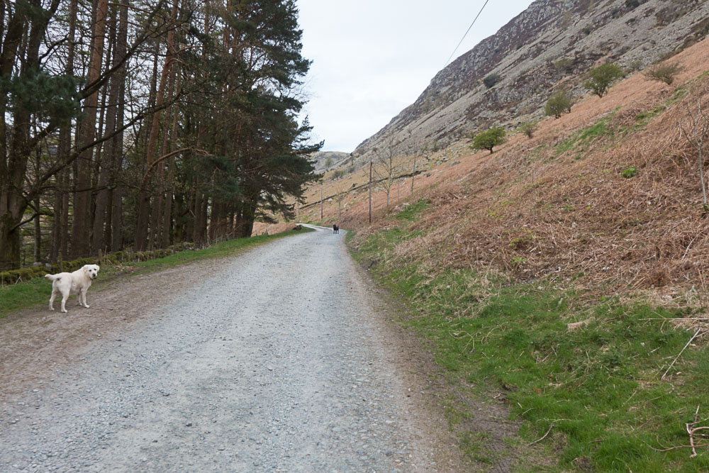
Heading up to Greenside Mine
We set up along the road towards the old Greenside mine (now Helvellyn Youth Hostel).
Catstycam ahead of us
Shortly after leaving the mine area, Catstycam came into view ahead of us. It looks like a proper mountain from this angle, and the northwest ridge looks steep and craggy...
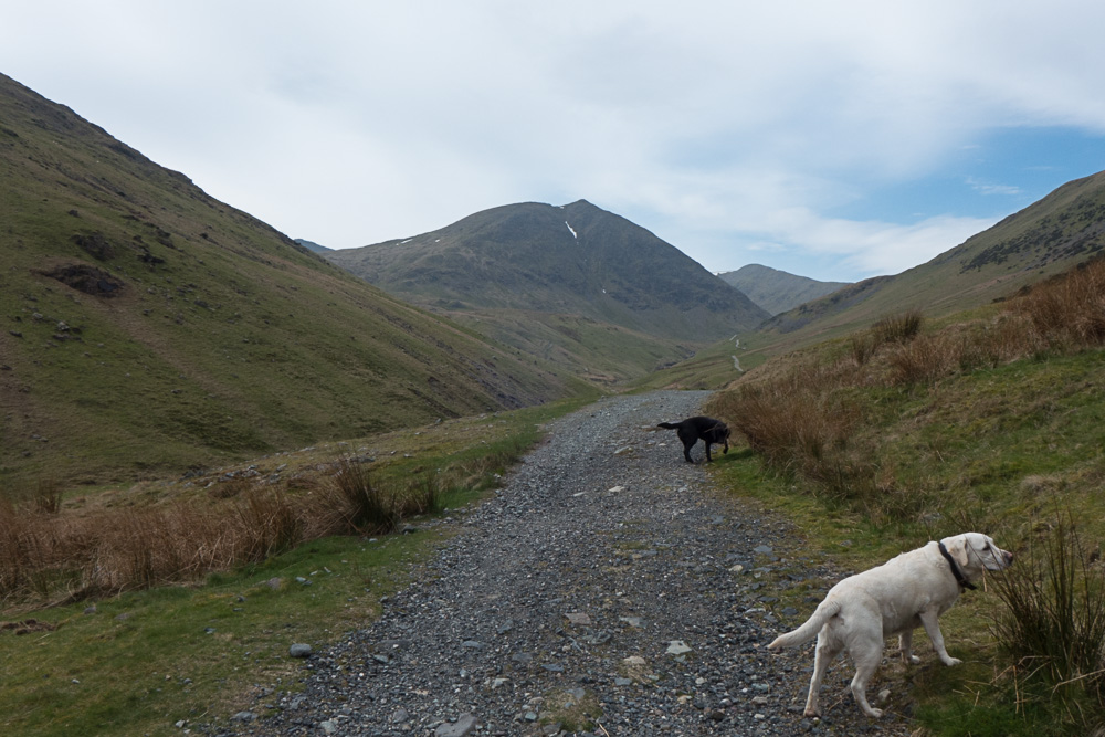
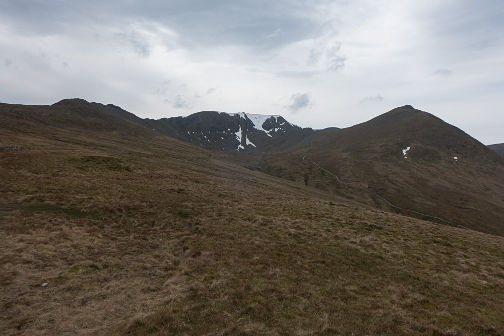
First view of Helvellyn
It's quite a long way to Keppel Cove along the old pony track, but it's a good path climbing fairly gently all the way. Helvellyn soon comes into view behind Catstycam.
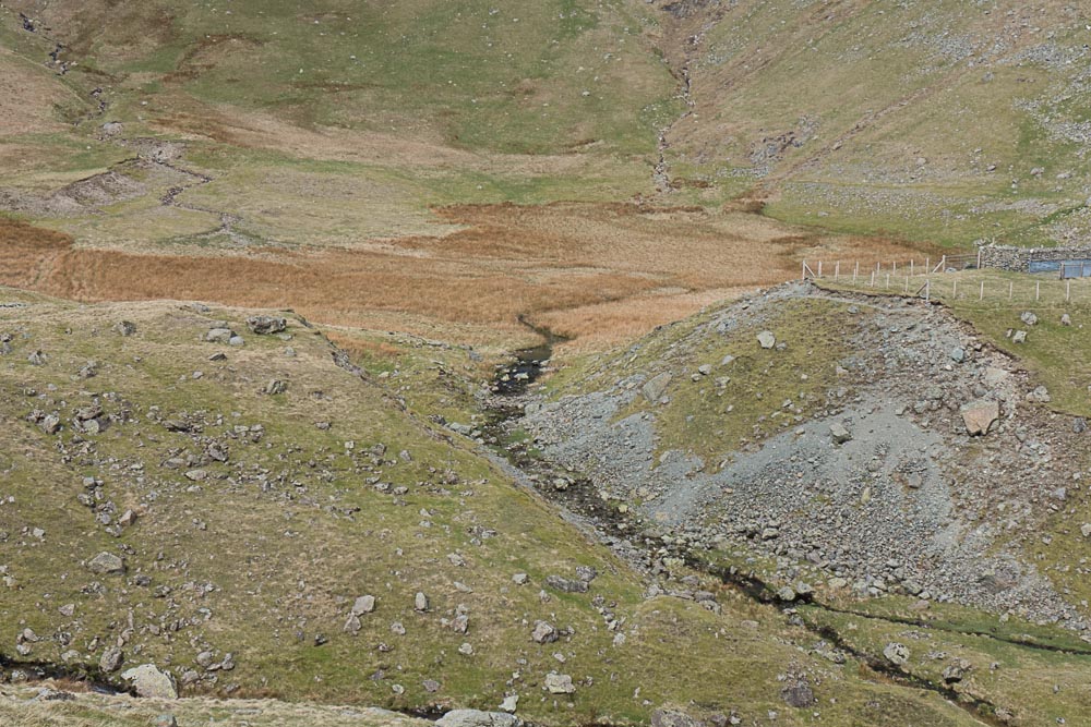
Keppel Cove - the ravine
This ravine at Keppel Cove was formed overnight when a freak storm caused the reservoir to overflow and wash out the dam (and cause severe flooding down in Glenridding).
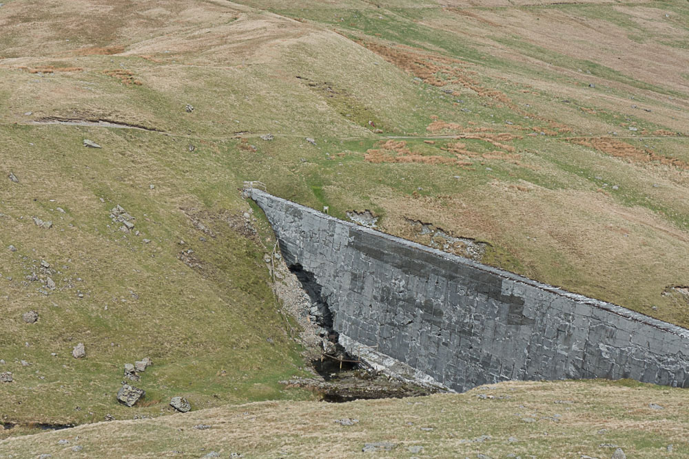
Keppel Cove - breached dam
The replacement concrete dam didn't last a lot longer...

Keepel Cove dam
Not sure if the path used to go across the top of the dam, but it's certainly off-limits now. Looks like it could collapse any time...
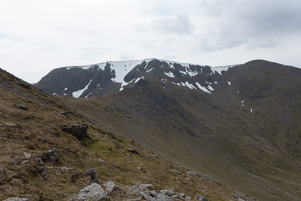
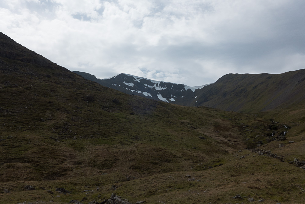
Helvellyn from Keppel Cove
We ate lunch overlooking Keppel Cove Dam, trying to summon up energy for the ascent ahead. GPS said there was only 0.3 miles to the summit but 900 feet of ascent, so we knew it was going to be steep.
White Side, from Keppel Cove
We must have missed the path somewhere when crossing Keppel Cove near the dam, so for the first part of the ascent we were picking our way up the rocky hillside just on the assumption that the only way was up... frequent rests were required.
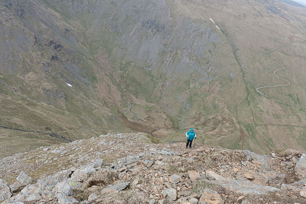
Struggling up Catstycam NW ridge
After a little while we found a good path just to the left of where we had been climbing - this made the going a lot easier. But the gradient was still severe, and we rested every 150 feet of ascent or so to make it manageable.
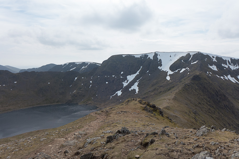
Swirral Edge and Helvellyn, from Catstycam
And then suddenly, we were at the top, with a glorious view of Swirral Edge and Helvellyn.
Catstycam summit
The summit is tiny, especially compared to the broad grassy summits we've visited the past few days.
After admiring the view for a while, we headed down towards the start of Swirral edge, then turned left onto the Red Tarn path. Even from this distance Gem kept wanting to make a run for the tarn, and eventually we let her go and have a swim.
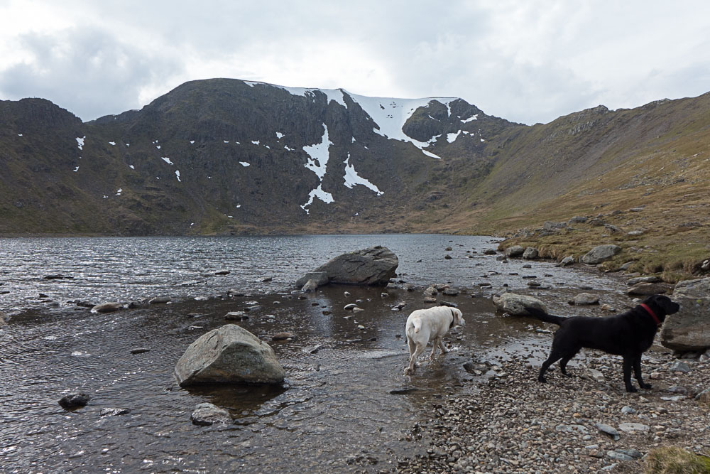
Red tarn, with dogs
Sitting at the foot of Red Tarn with Striding Edge on one side, Swirral Edge on the other, and Helvellyn in the middle is one of my favourite spots in the whole of the Lake District, and we stayed for several minutes just enjoying the view (and a second instalment of lunch) while the dogs played in the water.
Watching silhouettes of walkers on the crest of Striding Edge is always interesting - it looked pretty busy, with queues in places.
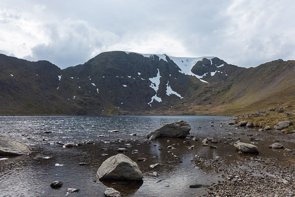
Probably my favourite spot in the Lakes
Eventually we tore ourselves away, and headed off towards Birkhouse Moor. The path from Red Tarn to Birkhouse Moor is virtually level, with a large stone wall on the right for quite a stretch, spoiling the view southwards.
Looking back at Helvellyn from Birkhouse Moor
Occasionally there were opportunities to look over the wall at what we were missing.
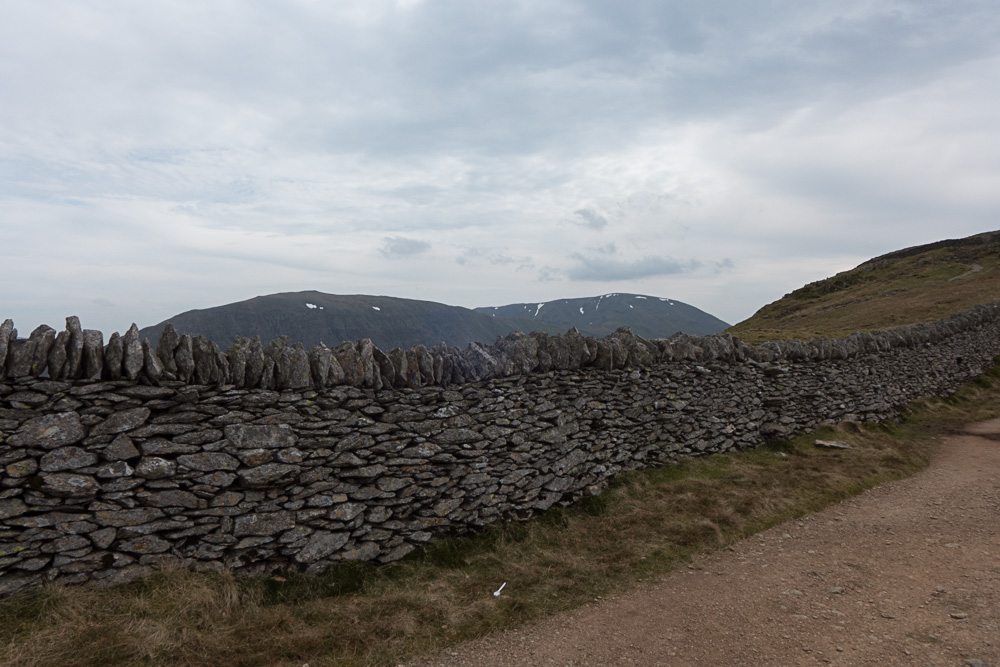
Fairfield over the wall
Just after the true highest point, the wall peels away to the right, and finally you start to get better views.
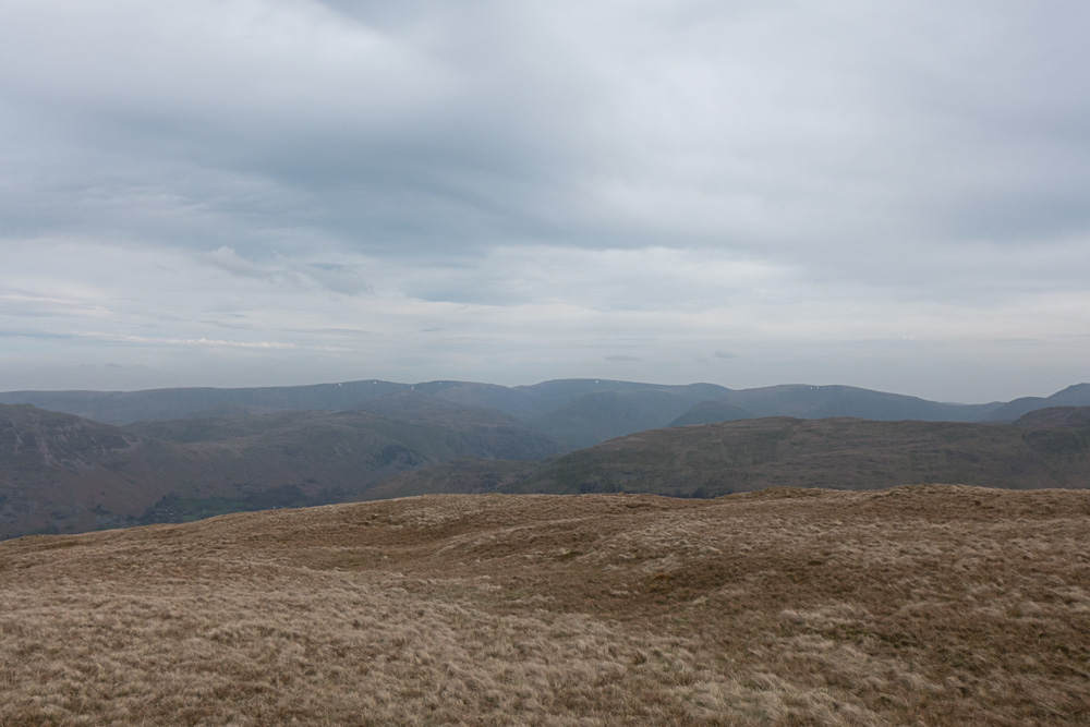
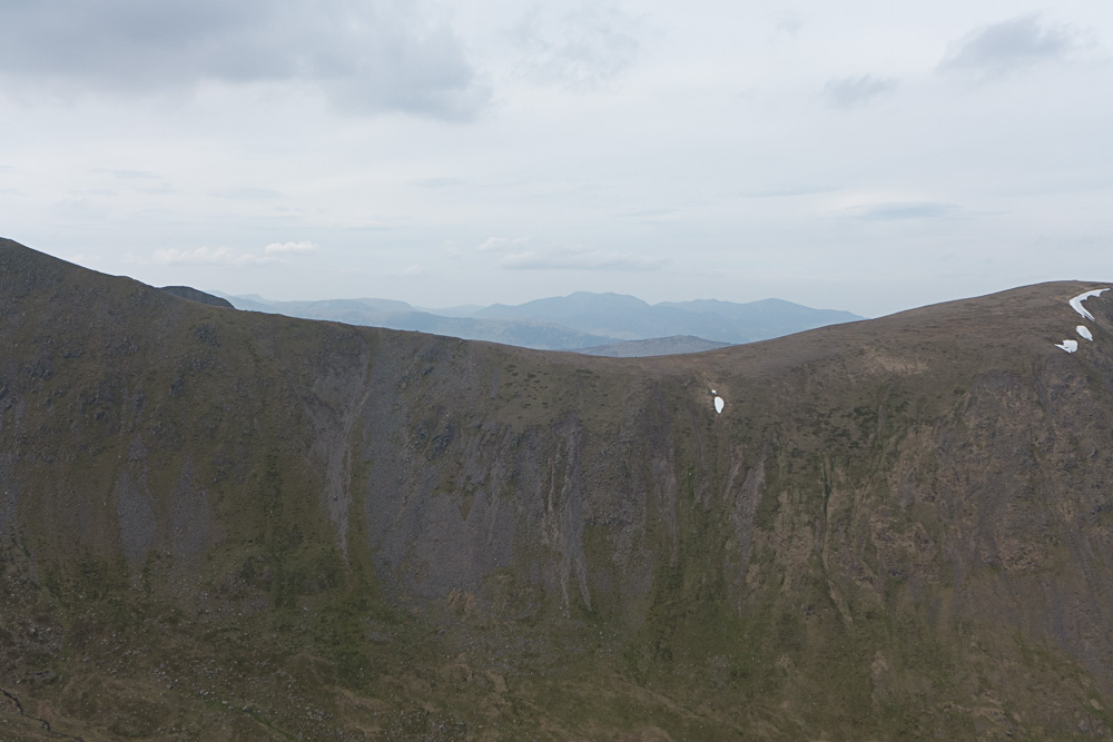
View from Birkhouse Moor
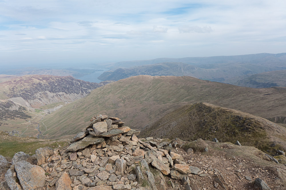
The north top is actually slightly off the path, but a worthwhile detour for the views over Ullswater
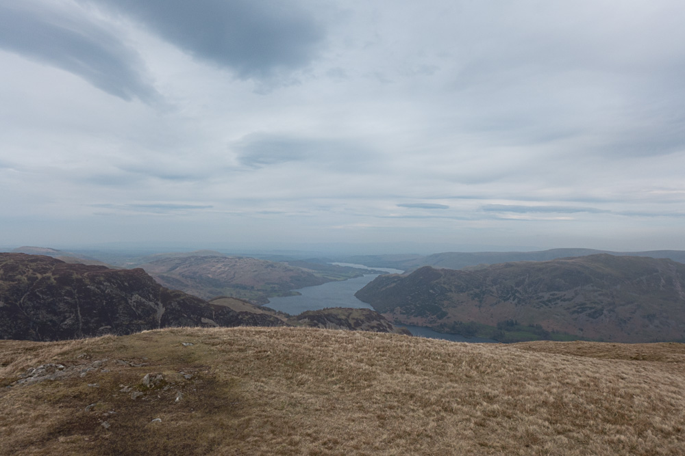
Ullswater from Birkhouse Moor
Rather than continue down the north ridge (which Wainwright reckons is unsuitable for descent, though he doesn't say why) we retraced out path to the Mires Beck path, and followed it down to Glenridding. There's still quite a lot of height to lose from this point, and the path though well-built is unforgiving, so we arrived back in Glenridding with tired feet, but generally very satisfied with the day's walk. An ice-cream finished the day off perfectly.