free to be able to rate and comment on reports (as well as access 1:25000 mapping).
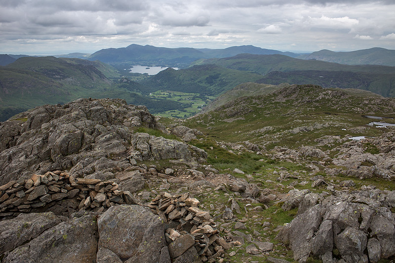
Another catch up report from June of a walk along the Glaramara ridge from Allen Crags to Bessyboot. We parked at England's wettest place, Seathwaite on a fine, dry but largely cloudy day. The walk up to Esk Hause from here is well trodden and easy, passing Grains Gil and Stockley bridge while all the time the imposing North face of Great End grows ever bigger. There are some nice views behind of borrowdale, but these get a whole lot better once you reach the unheralded but fine summit of Allen Crags. We stopped for a break to take in the views which encompass some of the grandest country in England.
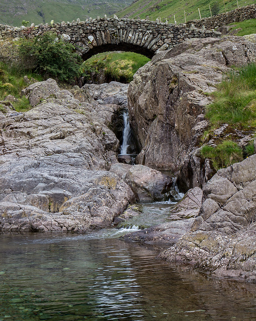 Stockley Bridge
 by
johnkaysleftleg, on Flickr
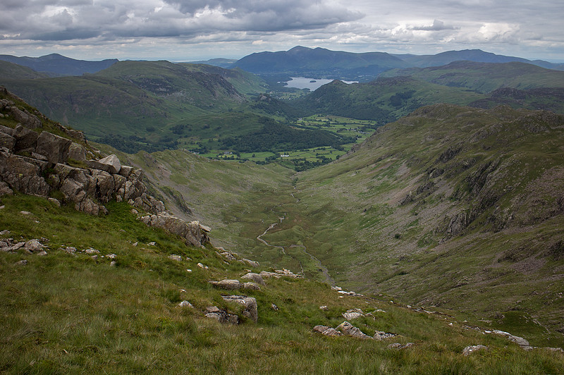
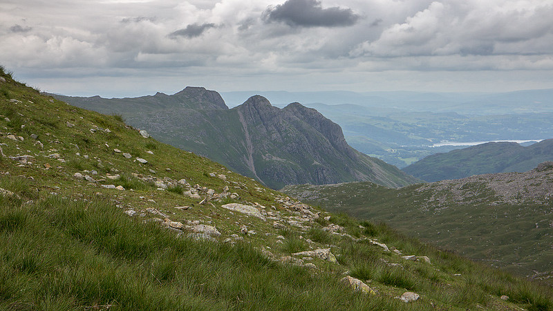 The Langdales from Esk Hause
 by
johnkaysleftleg, on Flickr
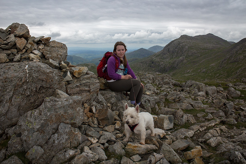 Grace and Hughie on Allen Crags
 by
johnkaysleftleg, on Flickr
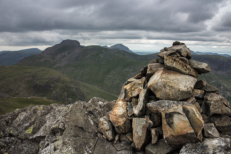
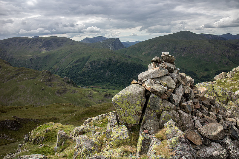
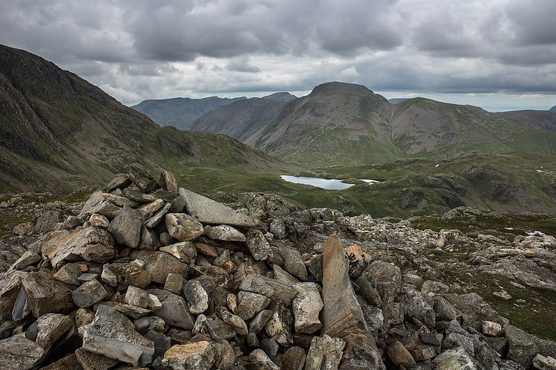 Great Gable from Allen Crags
 by
johnkaysleftleg, on Flickr
The walk from Allen Crags to Glaramara is very pleasant on a good path that winds its way around rocky tors and shimmering tarns. Some beautiful views present themselves but none finer than the view down Borrowdale from Glaramara's wild rocky top.
There are few, if any fells or mountains that have quite such a beautiful name as Glaramara. One possible suggestion for translation is "the upland pasture by the ravines" which kind of fits with the topography but reduces the poetic and mysterious to the mundane. Along with Blencathra and Helvellyn I think I'd prefer not to know of it's possible origins.
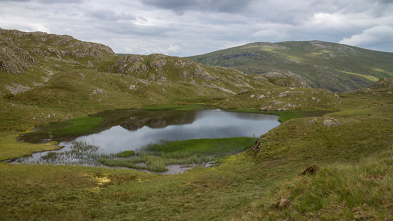
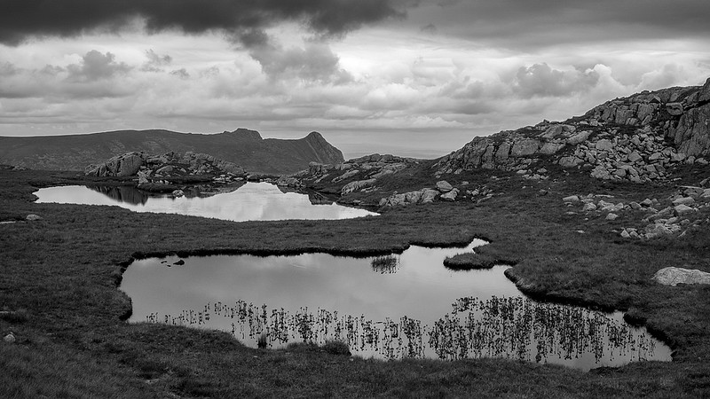 High House Tarn
 by
johnkaysleftleg, on Flickr
 Bow Fell
 by
johnkaysleftleg, on Flickr
 Red Beck Top
 by
johnkaysleftleg, on Flickr
 Glaramara view
 by
johnkaysleftleg, on Flickr
 Grace on Glaramara
 by
johnkaysleftleg, on Flickr
The walk up to this point had been a pleasure and very easy going but getting to the Wainwright top of Rosthwaite Fell, the charmingly named Bessyboot was to prove somewhat more difficult. We headed north off the summit encountering an unexpected scramble before heading to the right side of the impressive Combe. If you are doing this walk for just pleasure and not intending to bag Bessyboot I'd suggest heading down the path on the West edge of the Combe for your descent route as the route to Bessyboot from here has little to recommend it. The ground is rough and largely pathless while the ill defined ridge has a confusing topography. I bagged the nondescript Dove Nest Top while Nicola and Grace carried onward towards our final target of the day. Grace was having a "moment" at this point so I bagged Rosthwaite Cam by myself. Quite why AW decided that that Bessyboot was the summit of this fell rather than this excellent rocky tor that requires a minor scramble to get to the top is another total mystery.

 The Combe
 by
johnkaysleftleg, on Flickr
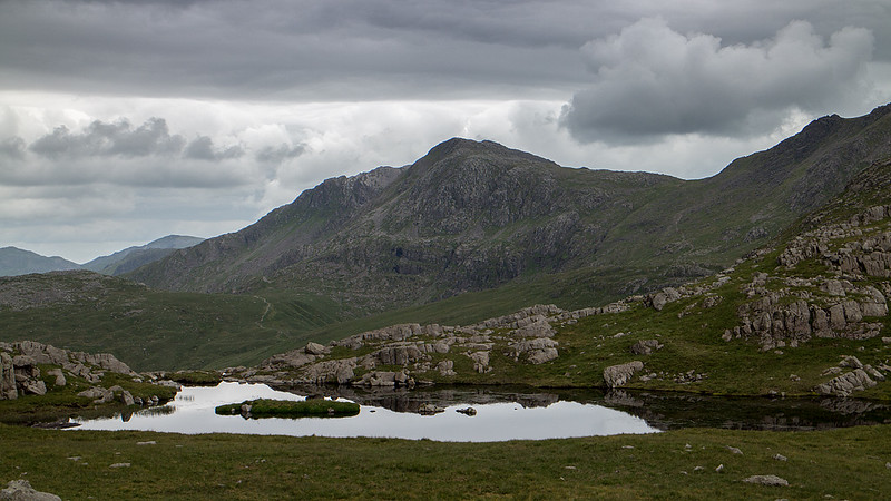
 Tarn at Leaves
 by
johnkaysleftleg, on Flickr
We passed another wonderful Lakeland name, the Tarn at Leaves, before the short ascent to our final target of the day. As a top Bessyboot is nice enough but I can still find no reason to defer to it from Rosthwaite Cam.
 Bessyboot
 by
johnkaysleftleg, on Flickr
It was a knee crushing descent before a pleasant walk back up Borrowdale towards Seathwaite and the car.
