
Some Pennine Wanderings
All my recent wanderings have been in the Pennines so this is a report of four walks through the diverse landscapes of England's backbone, in the main they are well established routes so I won't bore you with any detailed route descriptions.
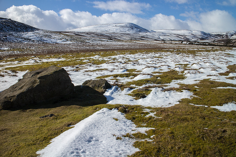
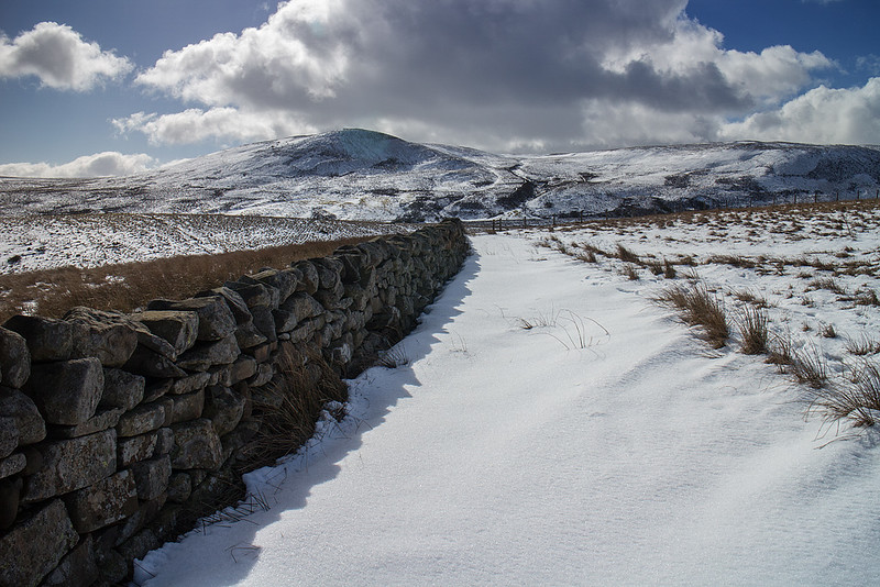
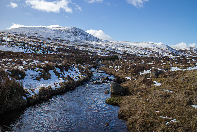
By the River Tees, 4/03/2015, 13km 300m
The River Tees is in my opinion the finest river in England, if only for it's spectacular journey over the features of the Whin Sill eruption some 295 million years ago. The Whin Sill is responsible for some of Northern England's most notable sights outside the Lake District including High Cup, Hadrian's Wall and some fantastic features on the Northumbrian coast. I parked at Bowlees Picnic area and headed off across Wynch Bridge to begin walking along the Tees. The fine waterfalls of Low, High, and Bleabeck Force were all passed before I realised I was running out of my limited time as I reached deep snow between High and Low Crags. I had intended on continuing further but common sense prevailed and I turned tail back along the Pennine Way. Rather than retrace my footsteps I followed the public right of way up Whiteholm bank onto the moors. In some ways this was a good decision but in others (crossing the becks swollen with snow melt) it was questionable. Blea Beck in particular provided a bit of a challenge to my suspect sense of balance. A visit to Holwick Scar, where I sheltered from a rouge shower, finished off a fine outing brightened by some of the white stuff.
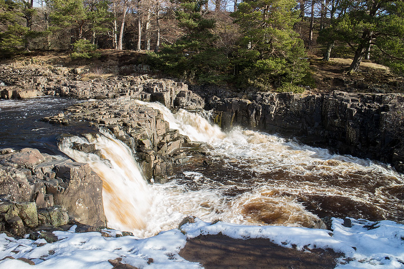 Low Force by johnkaysleftleg, on Flickr
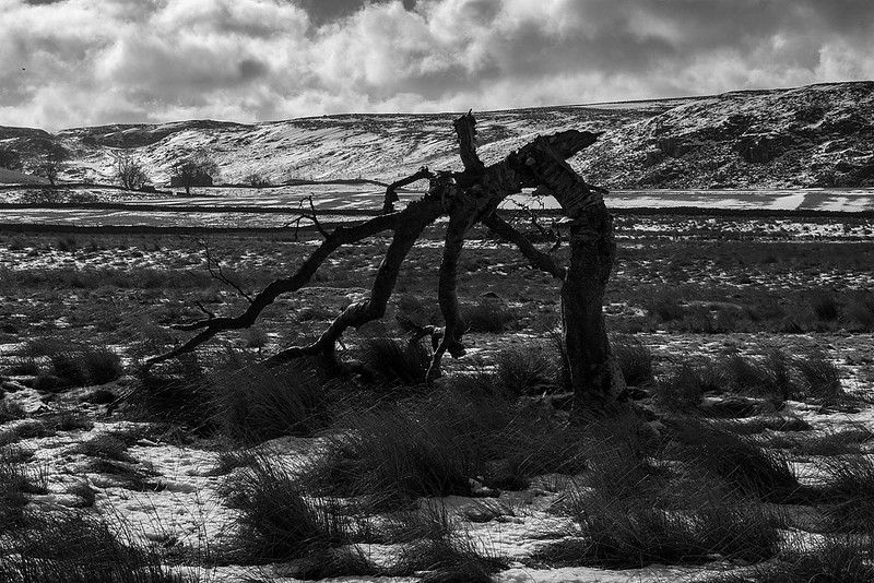 Broken by johnkaysleftleg, on Flickr
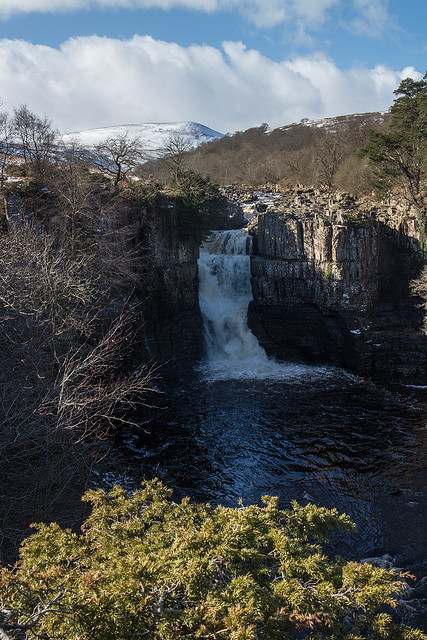 High Force by johnkaysleftleg, on Flickr
 The River Tees by johnkaysleftleg, on Flickr
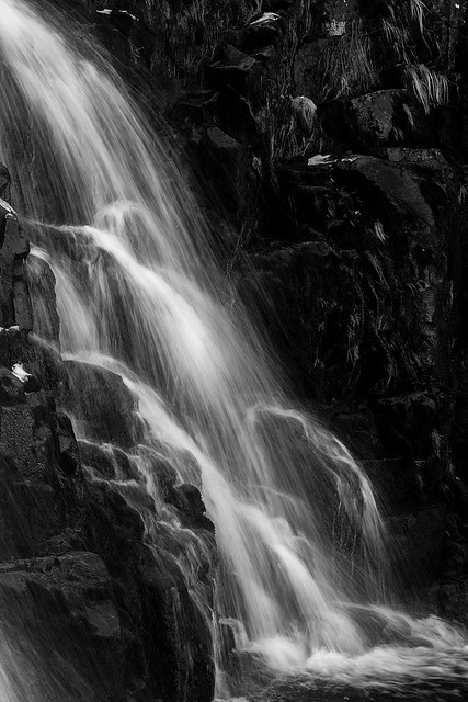 Bleabeck Force by johnkaysleftleg, on Flickr
 On the Pennine Way by johnkaysleftleg, on Flickr
 Along the Wall by johnkaysleftleg, on Flickr
 Which Way Now by johnkaysleftleg, on Flickr
 Looking down on the Tees by johnkaysleftleg, on Flickr
 Fell Dike Sike by johnkaysleftleg, on Flickr
 Whiteholm Bank Top by johnkaysleftleg, on Flickr
 Noon Hill and Cronkley Fell by johnkaysleftleg, on Flickr
 Holwick Scar by johnkaysleftleg, on Flickr
 Holwick by johnkaysleftleg, on Flickr
 Teesdale by johnkaysleftleg, on Flickr
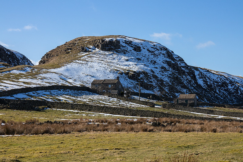
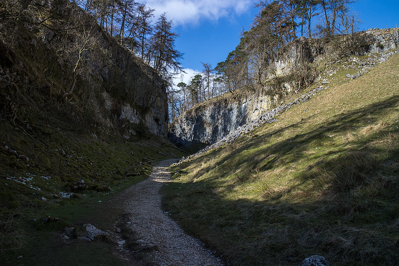
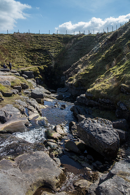
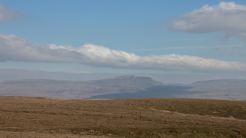
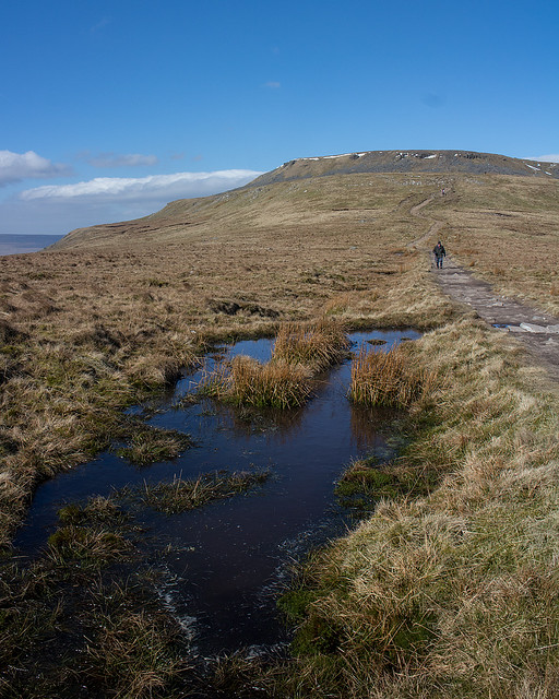
Ingleborough from Clapham, 21/03/2015, 15km 780m
This weekend saw Me and Nicola escape from children and dogs and have a night in the Dales at a lovely B'N'B in Chapel le Dale. Our drive down took us quite a while and given it was quite late when we set off it was nearly lunch time when we set off walking from Clapham. This route up the mighty Ingleborough is considered a classic by many and with the charming Trow Gill and spectacular Gaping Gill en-route it's easy to see why. We lucked out on the weather and sat in the summit shelter soaking up the lovely March sunshine for quite a while ending thoughts of an alternative descent. This wasn't a problem however as the way up was just as nice in reverse.
 Waterfall at Clapham by johnkaysleftleg, on Flickr
 Trow Gill by johnkaysleftleg, on Flickr
 Gaping Gill by johnkaysleftleg, on Flickr
 Pen y Ghent by johnkaysleftleg, on Flickr
 Ascending Little Ingleborough by johnkaysleftleg, on Flickr
 Dales Sky by johnkaysleftleg, on Flickr
 Ingleborough ahead by johnkaysleftleg, on Flickr
 Stubbon Snow by johnkaysleftleg, on Flickr
 Wernside and Ribblehead Viaduct. by johnkaysleftleg, on Flickr
 Little Ingleborough by johnkaysleftleg, on Flickr
 Looking back by johnkaysleftleg, on Flickr
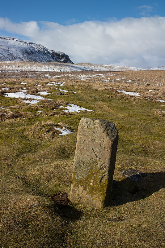
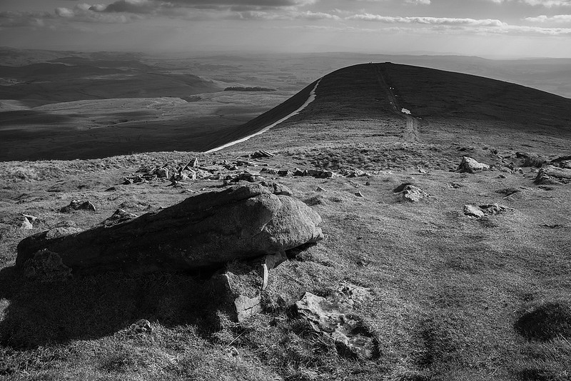
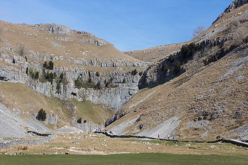
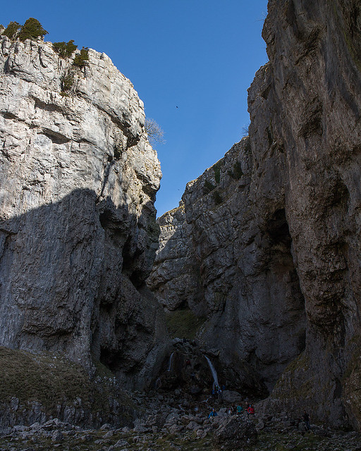
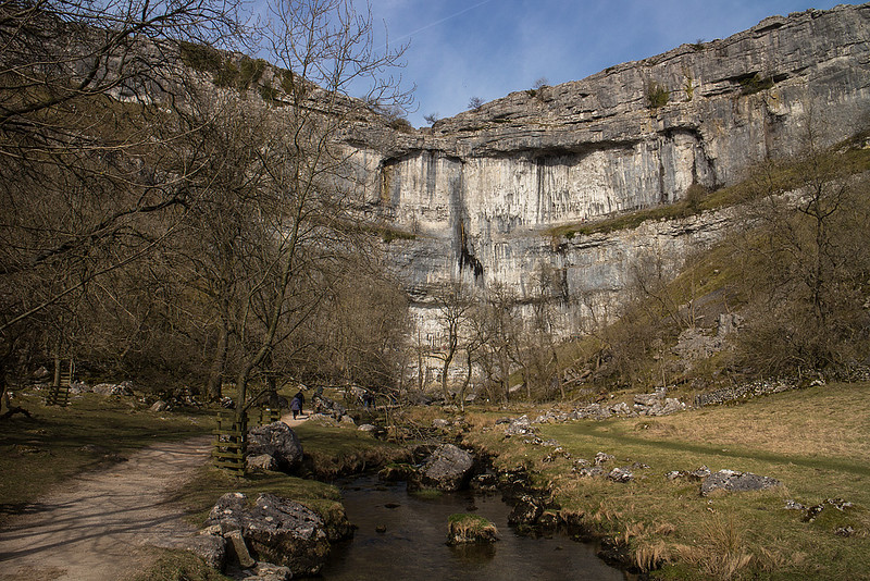
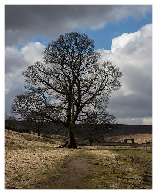
Gordale Scar and Malham Cove, 22/03/2015, 11km 360m
Another beautiful day saw us head for the tourist trap of Malham. We hadn't been here in nearly ten years and given it was another perfect day it was a well timed return. The route we took is a well established circular walk taking in Janet's Foss, Goredale Scar, Malham Tarn and Malham Cove. The Limestone scenery is stunning in this part of the world with Goredale Scar topping the bill for me. An entertaining scramble leads to the wonderful sight of the upper falls flowing through a window in the rock. I can't quite understand why more isn't made of this feature with Malaham cove getting all the attention, perhaps it's because it's a bit tricky for some people to get to see.(although dropping down from above would be simple enough) This is not to take away from the remainder of the walk however, if proof were needed you don't need a summit to have a great walk, this is it.
 Janet's Foss by johnkaysleftleg, on Flickr
 Goredale Scar by johnkaysleftleg, on Flickr
 The climb ahead by johnkaysleftleg, on Flickr
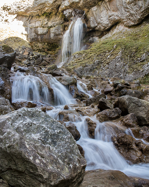 Upper falls in Gordale Scar by johnkaysleftleg, on Flickr
 Looking Back by johnkaysleftleg, on Flickr
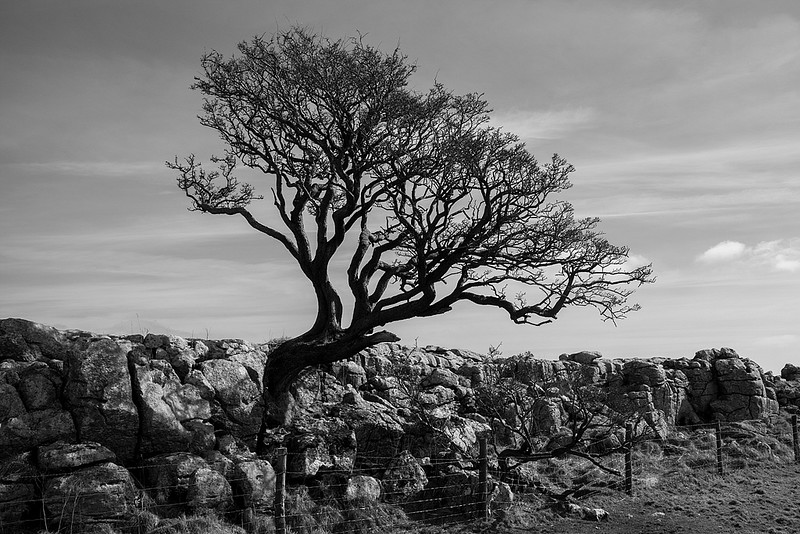 Tree by johnkaysleftleg, on Flickr
 Malham Tarn by johnkaysleftleg, on Flickr
 Comb Hill by johnkaysleftleg, on Flickr
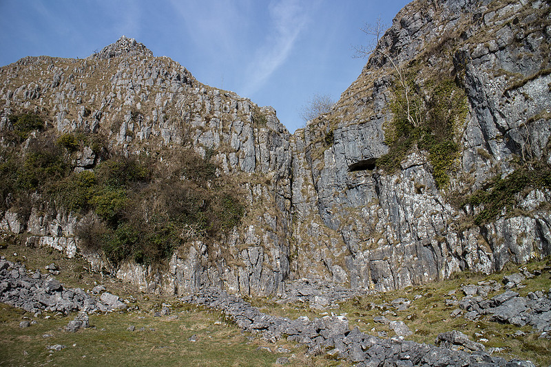 Limestone Cliffs by johnkaysleftleg, on Flickr
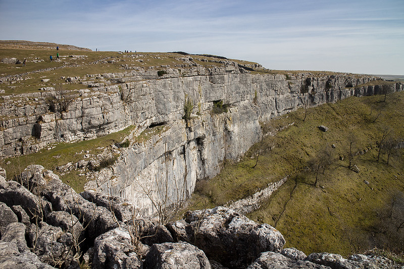 Malham Cove by johnkaysleftleg, on Flickr
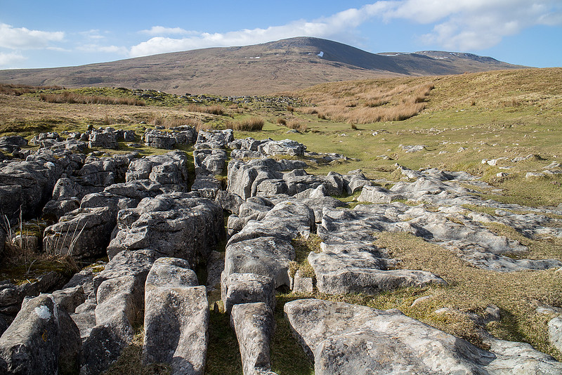
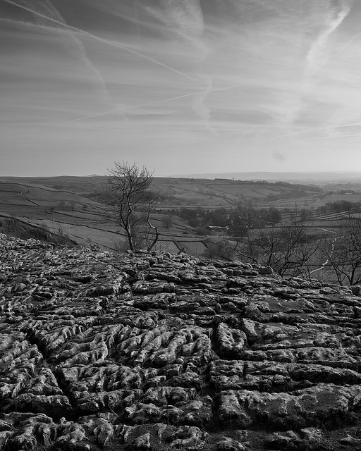 Limestone Pavement by johnkaysleftleg, on Flickr
 Tourist Trap by johnkaysleftleg, on Flickr
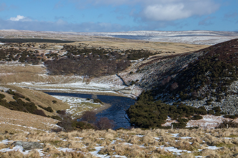
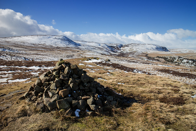
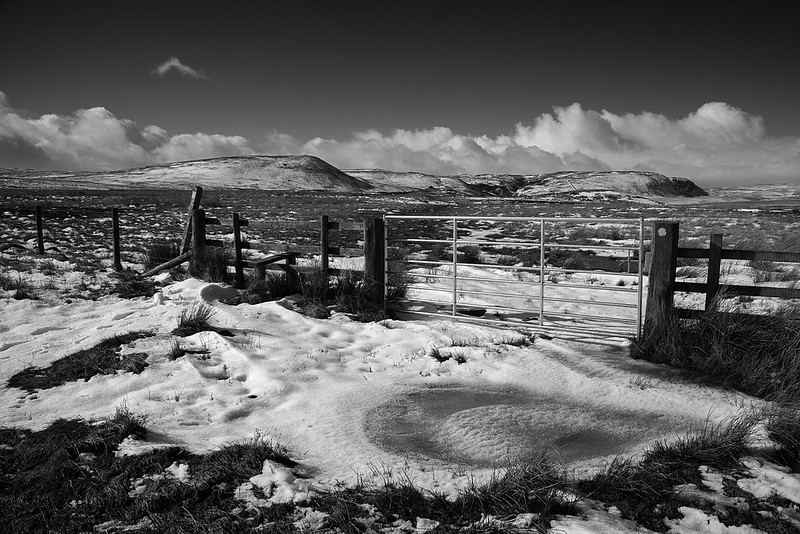
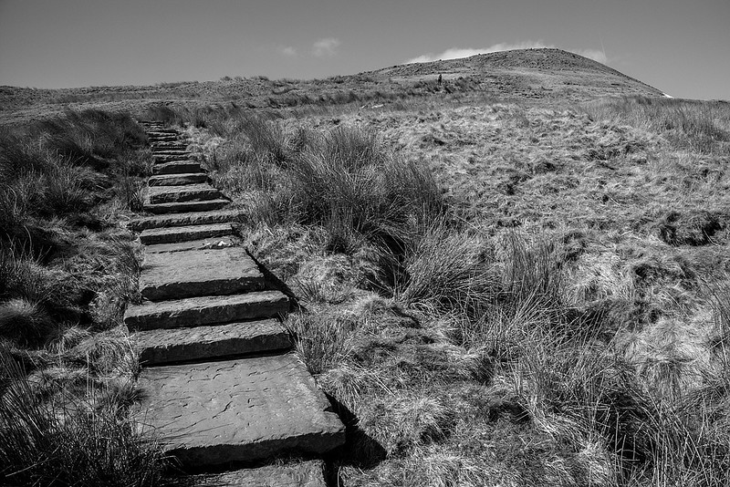
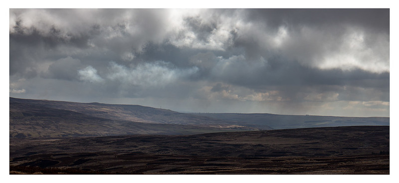
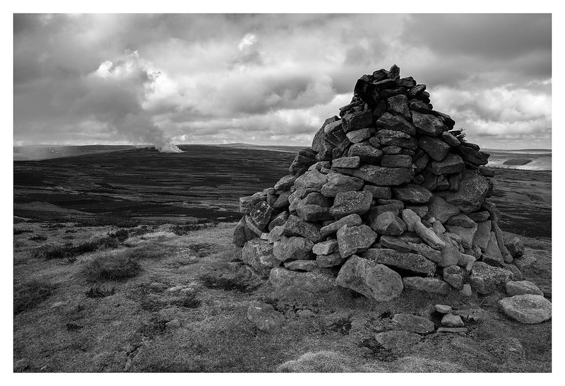
Bolt's Law from Rookhope, 25/03/2015, 12km 330m
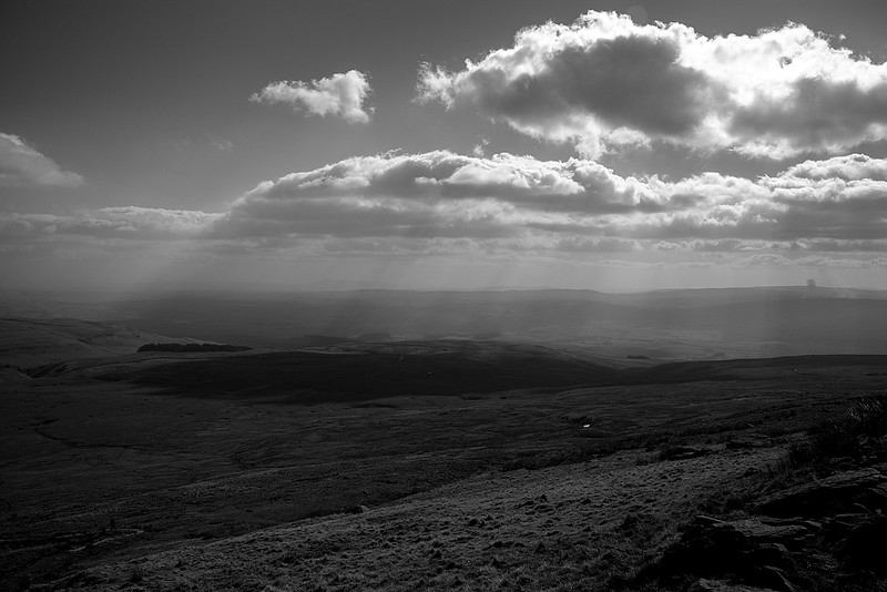
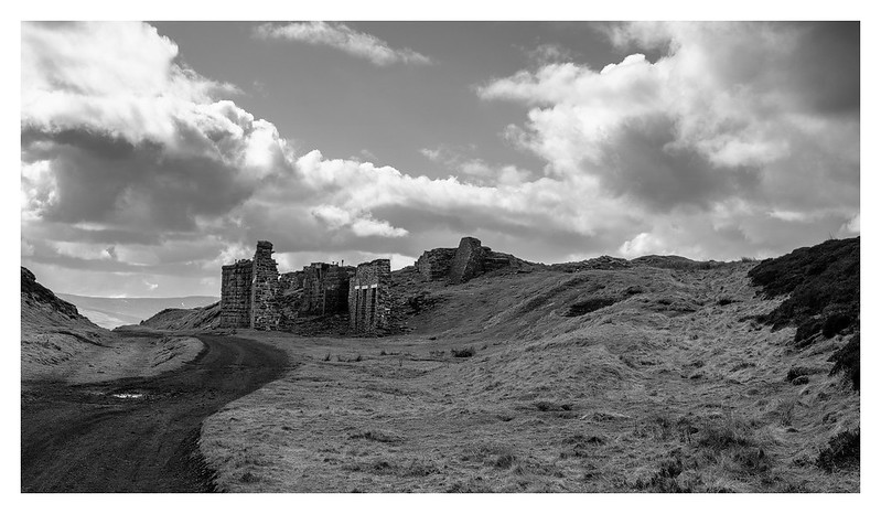
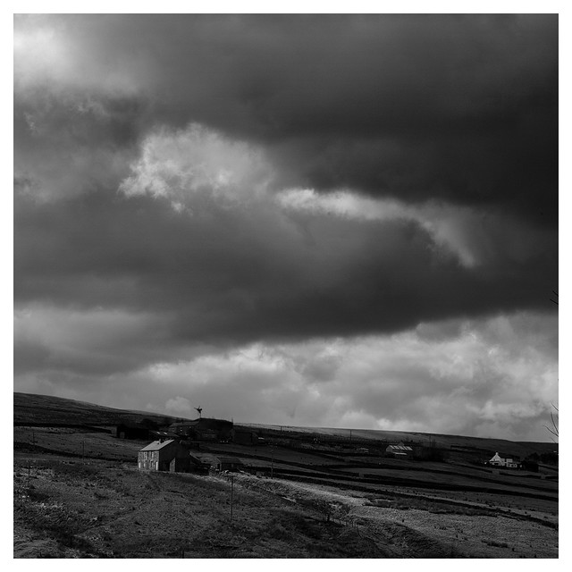
If the previous three walks left me with happy memories of idyllic wanderings, this walk up Bolt's Law left me thinking about the way man uses the land. Weardale is, of course, famous for it's lead mining history with rich veins, coincidentally thanks to the Whin Sill eruption, being extracted in the 18th and 19th century with 28 separate smelting operations at its height. By the 1880s however the industry was in sharp decline with the last commercial operation closing in 1931. As the lead mines declined the coal mines rose up and many of the folk of Weardale headed East, along with the environmental destruction, for pastures new. Now I'm aware that many of our upland areas were once extensively mined but some have recovered better than others and for me Weardale still doesn't wear it's scars well. I've always found it to be a dreary place, somehow washed out and grey, even when the sun shines.
I parked opposite the Rookhope arch, one of the last remaining parts of a huge flue that transported poisonous gasses up the fellside and attempted to set off up the track of the Rookhope chimney. I was initially blocked by barbed wire but before I could find away round I noticed they were burning the heather on the moors. As I had the dog with me and this route not being a public right of way I changed my plans and headed through the village.
After passing through Rookhope I headed up the Bolt's Law incline and had not gone far before a gaudy NO DOGS sign yelled at me from the gate. Whispered in the small print conversely was the fact that dogs under control on public rights of way are not prohibited so onwards we went.
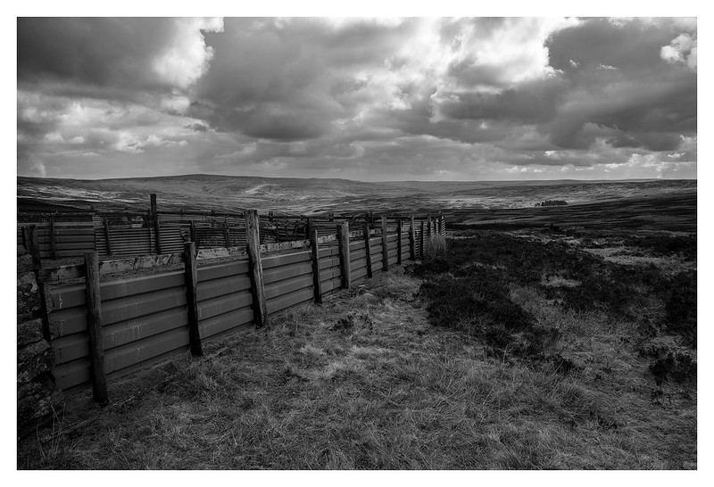
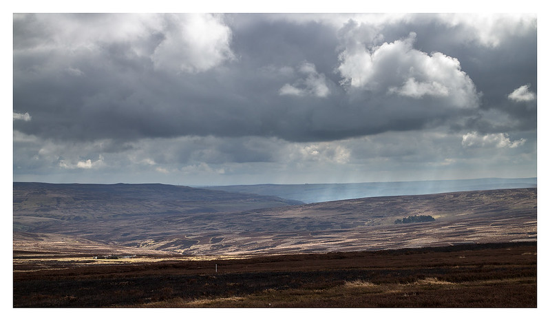
The incline is an option on the coast to coast cycle route for those who wish to give themselves a good work out as it's a fair pull up but well worth it as views quickly open up, reminding me just why I came to this desolate place. A farmer with his dogs passed me on his quad bike making the sum total of other people I saw on the moor one (and two dogs).
Once the top is reached and you pass the old mine buildings the desolation really hits home, although this is a great place to be a grouse (till the glorious 12th that is ), curlew, golden plover or Lapwing for just about everything else it's fairly desperate. Heather burning has been systematically practiced and where as this doesn't look too bad from a distance, close up it's very grim indeed. The public right of way that I took up the hill quickly dissipated but I wasn't far off as found a stile (with a slightly friendlier dog notice) and from there an obvious path took me to the summit and views of endless moors pocked with plumes of smoke.
I had an early lunch on the summit feeling somewhat conflicted, just what would this place look like if it were left alone for once? how long would it take for a more balanced, natural environment to form? how great would it be to see a Hen harrier quartering the moors? With these questions and more swirling in my head I may or may not have visited the west top (allegedly the highest point) with what may or may not have been Hughie before retracing my steps back to the village.
 Leaden Skies by johnkaysleftleg, on Flickr
 Weardale Moors by johnkaysleftleg, on Flickr
 Distant Rain by johnkaysleftleg, on Flickr
 Bolt's Law by johnkaysleftleg, on Flickr
 Ruins by johnkaysleftleg, on Flickr
 Austerity by johnkaysleftleg, on Flickr
 Rookhope by johnkaysleftleg, on Flickr
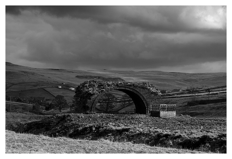 The Rookhope Arch by johnkaysleftleg, on Flickr
 Looking Down Stanhope Burn by johnkaysleftleg, on Flickr
I am seldom particularly affected by a walk other than a collection of nice memories to call upon when not in the hills but my visit to Rookhope bothered me. A little bit of internet research revealed that Leeds University had recently carried out the first independent large scale study into heather burning.....with damming results.
This combined with the struggles of the residents of Hebden Bridge paints a depressing picture. Why does this bother me so much I here you ask? I could simply walk elsewhere, stick my head in the sand and ignore grouse moors as much as possible. I think the reason it upsets me is I come from the place the miners of Weardale moved too, the former coal fields of Durham. Here the environmental crimes in the name of profit were perhaps the worst committed in this country, millions upon millions of tonnes of waste product from mines all over County Durham were dumped onto Blast beach at Seaham and Blackhall. The effect was to totally devastate a coast line so unique and beautiful that is was actually a tourist destination before King Coal took over. Despite the clean up large parts of the beaches are buried beneath a huge slab of waste that will take many more decades for nature to disperse, the former Pale fine sands perhaps never will return. The thought that one day the coastline I grew up on will one day be subject to more misuse and abuse is horrifying but as it has happened and is happening in Weardale in the name of a landowner making a few quid why not here? When will we learn to stop thinking of land as something to be exploited for profit and treasure what nature provides?
Thank you to anybody who has read this far, please click on the links, and sorry for the rant.
By the River Tees, 4/03/2015, 13km 300m
The River Tees is in my opinion the finest river in England, if only for it's spectacular journey over the features of the Whin Sill eruption some 295 million years ago. The Whin Sill is responsible for some of Northern England's most notable sights outside the Lake District including High Cup, Hadrian's Wall and some fantastic features on the Northumbrian coast. I parked at Bowlees Picnic area and headed off across Wynch Bridge to begin walking along the Tees. The fine waterfalls of Low, High, and Bleabeck Force were all passed before I realised I was running out of my limited time as I reached deep snow between High and Low Crags. I had intended on continuing further but common sense prevailed and I turned tail back along the Pennine Way. Rather than retrace my footsteps I followed the public right of way up Whiteholm bank onto the moors. In some ways this was a good decision but in others (crossing the becks swollen with snow melt) it was questionable. Blea Beck in particular provided a bit of a challenge to my suspect sense of balance. A visit to Holwick Scar, where I sheltered from a rouge shower, finished off a fine outing brightened by some of the white stuff.
Low Force by johnkaysleftleg, on FlickrBroken by johnkaysleftleg, on FlickrHigh Force by johnkaysleftleg, on FlickrThe River Tees by johnkaysleftleg, on FlickrBleabeck Force by johnkaysleftleg, on FlickrOn the Pennine Way by johnkaysleftleg, on FlickrAlong the Wall by johnkaysleftleg, on FlickrWhich Way Now by johnkaysleftleg, on FlickrLooking down on the Tees by johnkaysleftleg, on FlickrFell Dike Sike by johnkaysleftleg, on FlickrWhiteholm Bank Top by johnkaysleftleg, on FlickrNoon Hill and Cronkley Fell by johnkaysleftleg, on FlickrHolwick Scar by johnkaysleftleg, on FlickrHolwick by johnkaysleftleg, on FlickrTeesdale by johnkaysleftleg, on FlickrIngleborough from Clapham, 21/03/2015, 15km 780m
This weekend saw Me and Nicola escape from children and dogs and have a night in the Dales at a lovely B'N'B in Chapel le Dale. Our drive down took us quite a while and given it was quite late when we set off it was nearly lunch time when we set off walking from Clapham. This route up the mighty Ingleborough is considered a classic by many and with the charming Trow Gill and spectacular Gaping Gill en-route it's easy to see why. We lucked out on the weather and sat in the summit shelter soaking up the lovely March sunshine for quite a while ending thoughts of an alternative descent. This wasn't a problem however as the way up was just as nice in reverse.
Waterfall at Clapham by johnkaysleftleg, on FlickrTrow Gill by johnkaysleftleg, on FlickrGaping Gill by johnkaysleftleg, on FlickrPen y Ghent by johnkaysleftleg, on FlickrAscending Little Ingleborough by johnkaysleftleg, on FlickrDales Sky by johnkaysleftleg, on FlickrIngleborough ahead by johnkaysleftleg, on FlickrStubbon Snow by johnkaysleftleg, on FlickrWernside and Ribblehead Viaduct. by johnkaysleftleg, on FlickrLittle Ingleborough by johnkaysleftleg, on FlickrLooking back by johnkaysleftleg, on FlickrGordale Scar and Malham Cove, 22/03/2015, 11km 360m
Another beautiful day saw us head for the tourist trap of Malham. We hadn't been here in nearly ten years and given it was another perfect day it was a well timed return. The route we took is a well established circular walk taking in Janet's Foss, Goredale Scar, Malham Tarn and Malham Cove. The Limestone scenery is stunning in this part of the world with Goredale Scar topping the bill for me. An entertaining scramble leads to the wonderful sight of the upper falls flowing through a window in the rock. I can't quite understand why more isn't made of this feature with Malaham cove getting all the attention, perhaps it's because it's a bit tricky for some people to get to see.(although dropping down from above would be simple enough) This is not to take away from the remainder of the walk however, if proof were needed you don't need a summit to have a great walk, this is it.
Janet's Foss by johnkaysleftleg, on FlickrGoredale Scar by johnkaysleftleg, on FlickrThe climb ahead by johnkaysleftleg, on FlickrUpper falls in Gordale Scar by johnkaysleftleg, on FlickrLooking Back by johnkaysleftleg, on FlickrTree by johnkaysleftleg, on FlickrMalham Tarn by johnkaysleftleg, on FlickrComb Hill by johnkaysleftleg, on FlickrLimestone Cliffs by johnkaysleftleg, on FlickrMalham Cove by johnkaysleftleg, on FlickrLimestone Pavement by johnkaysleftleg, on FlickrTourist Trap by johnkaysleftleg, on FlickrBolt's Law from Rookhope, 25/03/2015, 12km 330m
If the previous three walks left me with happy memories of idyllic wanderings, this walk up Bolt's Law left me thinking about the way man uses the land. Weardale is, of course, famous for it's lead mining history with rich veins, coincidentally thanks to the Whin Sill eruption, being extracted in the 18th and 19th century with 28 separate smelting operations at its height. By the 1880s however the industry was in sharp decline with the last commercial operation closing in 1931. As the lead mines declined the coal mines rose up and many of the folk of Weardale headed East, along with the environmental destruction, for pastures new. Now I'm aware that many of our upland areas were once extensively mined but some have recovered better than others and for me Weardale still doesn't wear it's scars well. I've always found it to be a dreary place, somehow washed out and grey, even when the sun shines.
I parked opposite the Rookhope arch, one of the last remaining parts of a huge flue that transported poisonous gasses up the fellside and attempted to set off up the track of the Rookhope chimney. I was initially blocked by barbed wire but before I could find away round I noticed they were burning the heather on the moors. As I had the dog with me and this route not being a public right of way I changed my plans and headed through the village.
After passing through Rookhope I headed up the Bolt's Law incline and had not gone far before a gaudy NO DOGS sign yelled at me from the gate. Whispered in the small print conversely was the fact that dogs under control on public rights of way are not prohibited so onwards we went.
The incline is an option on the coast to coast cycle route for those who wish to give themselves a good work out as it's a fair pull up but well worth it as views quickly open up, reminding me just why I came to this desolate place. A farmer with his dogs passed me on his quad bike making the sum total of other people I saw on the moor one (and two dogs).
Once the top is reached and you pass the old mine buildings the desolation really hits home, although this is a great place to be a grouse (till the glorious 12th that is
I had an early lunch on the summit feeling somewhat conflicted, just what would this place look like if it were left alone for once? how long would it take for a more balanced, natural environment to form? how great would it be to see a Hen harrier quartering the moors? With these questions and more swirling in my head I may or may not have visited the west top (allegedly the highest point) with what may or may not have been Hughie before retracing my steps back to the village.
Leaden Skies by johnkaysleftleg, on FlickrWeardale Moors by johnkaysleftleg, on FlickrDistant Rain by johnkaysleftleg, on FlickrBolt's Law by johnkaysleftleg, on FlickrRuins by johnkaysleftleg, on FlickrAusterity by johnkaysleftleg, on FlickrRookhope by johnkaysleftleg, on FlickrThe Rookhope Arch by johnkaysleftleg, on FlickrLooking Down Stanhope Burn by johnkaysleftleg, on FlickrI am seldom particularly affected by a walk other than a collection of nice memories to call upon when not in the hills but my visit to Rookhope bothered me. A little bit of internet research revealed that Leeds University had recently carried out the first independent large scale study into heather burning.....with damming results.
This combined with the struggles of the residents of Hebden Bridge paints a depressing picture. Why does this bother me so much I here you ask? I could simply walk elsewhere, stick my head in the sand and ignore grouse moors as much as possible. I think the reason it upsets me is I come from the place the miners of Weardale moved too, the former coal fields of Durham. Here the environmental crimes in the name of profit were perhaps the worst committed in this country, millions upon millions of tonnes of waste product from mines all over County Durham were dumped onto Blast beach at Seaham and Blackhall. The effect was to totally devastate a coast line so unique and beautiful that is was actually a tourist destination before King Coal took over. Despite the clean up large parts of the beaches are buried beneath a huge slab of waste that will take many more decades for nature to disperse, the former Pale fine sands perhaps never will return. The thought that one day the coastline I grew up on will one day be subject to more misuse and abuse is horrifying but as it has happened and is happening in Weardale in the name of a landowner making a few quid why not here? When will we learn to stop thinking of land as something to be exploited for profit and treasure what nature provides?
Thank you to anybody who has read this far, please click on the links, and sorry for the rant.