free to be able to rate and comment on reports (as well as access 1:25000 mapping).
This is a beast of a hill. At 2106 metres it isn’t
that high, but 1800 metres of ascent over 20km in 12 hours is enough for me. And it’s a mission just to get there, deep in the Arctic Circle . From Stockholm we took two metros, one train, one plane, two buses and one boat - and we walked 13km - to the base camp at the bottom of Kebnekaise, Sweden’s highest mountain.
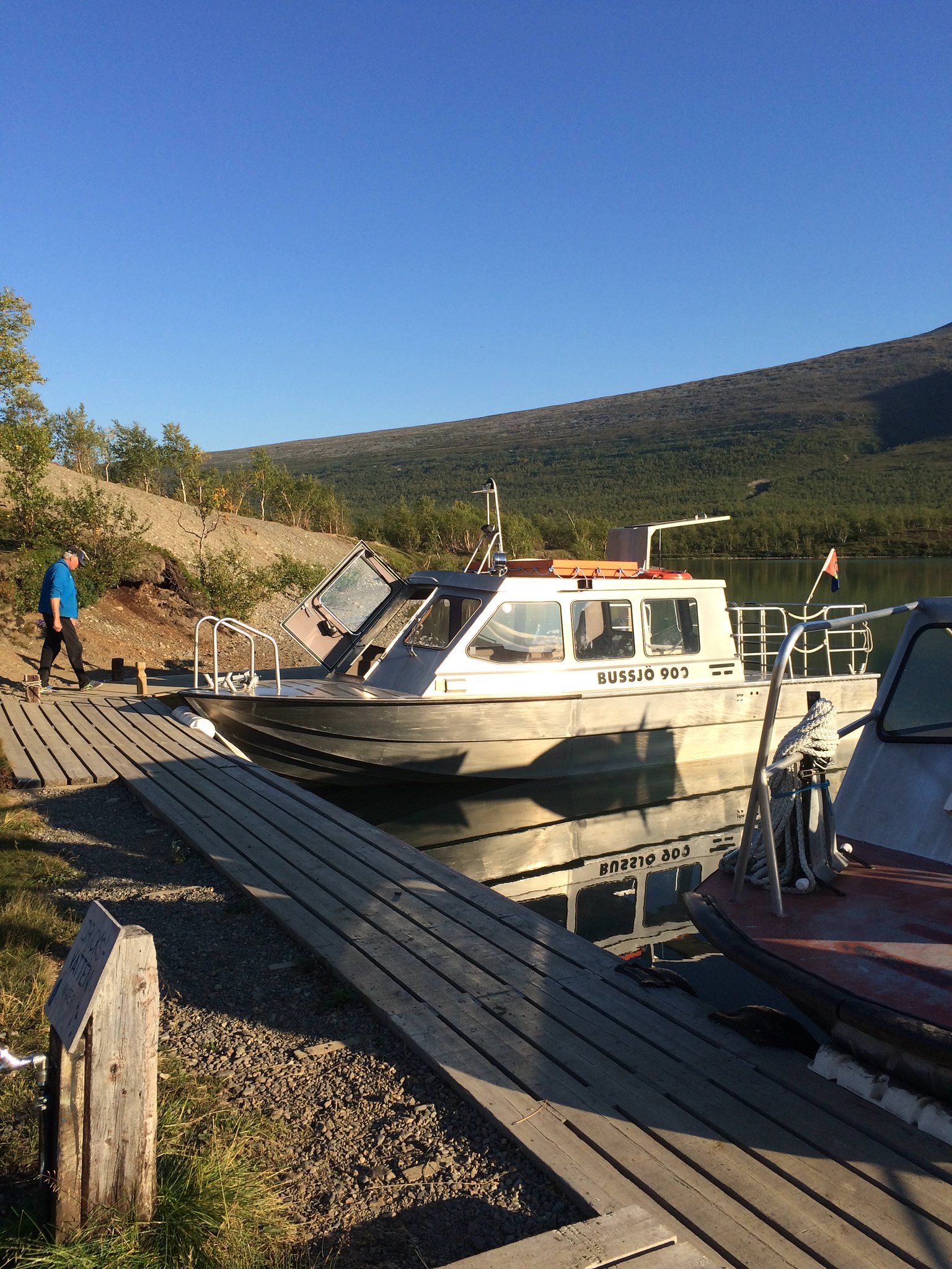
You can walk 19km to the base camp, or you can walk 13 and get the boat for 6.
 Untitled
 by
john, on Flickr
 Untitled
 by
john, on Flickr
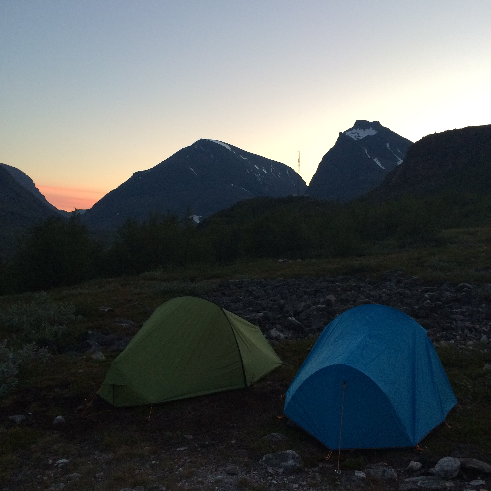
Camping is free at the base station, but if you want to use the facilities (toilet, kitchen, showers etc….you have to pay 300 SEK (about 30 euros). Breakfast is another 10 euros but well worth it. I didn’t fancy sitting on the ground in my tent with brown rye biscuits and no hot drink in preparation for a 12 hour hike. Much better to get a good breakfast and lots of coffee and sugar! Yes I could have carried my stove, gas, food etc but I really couldn’t be bothered.
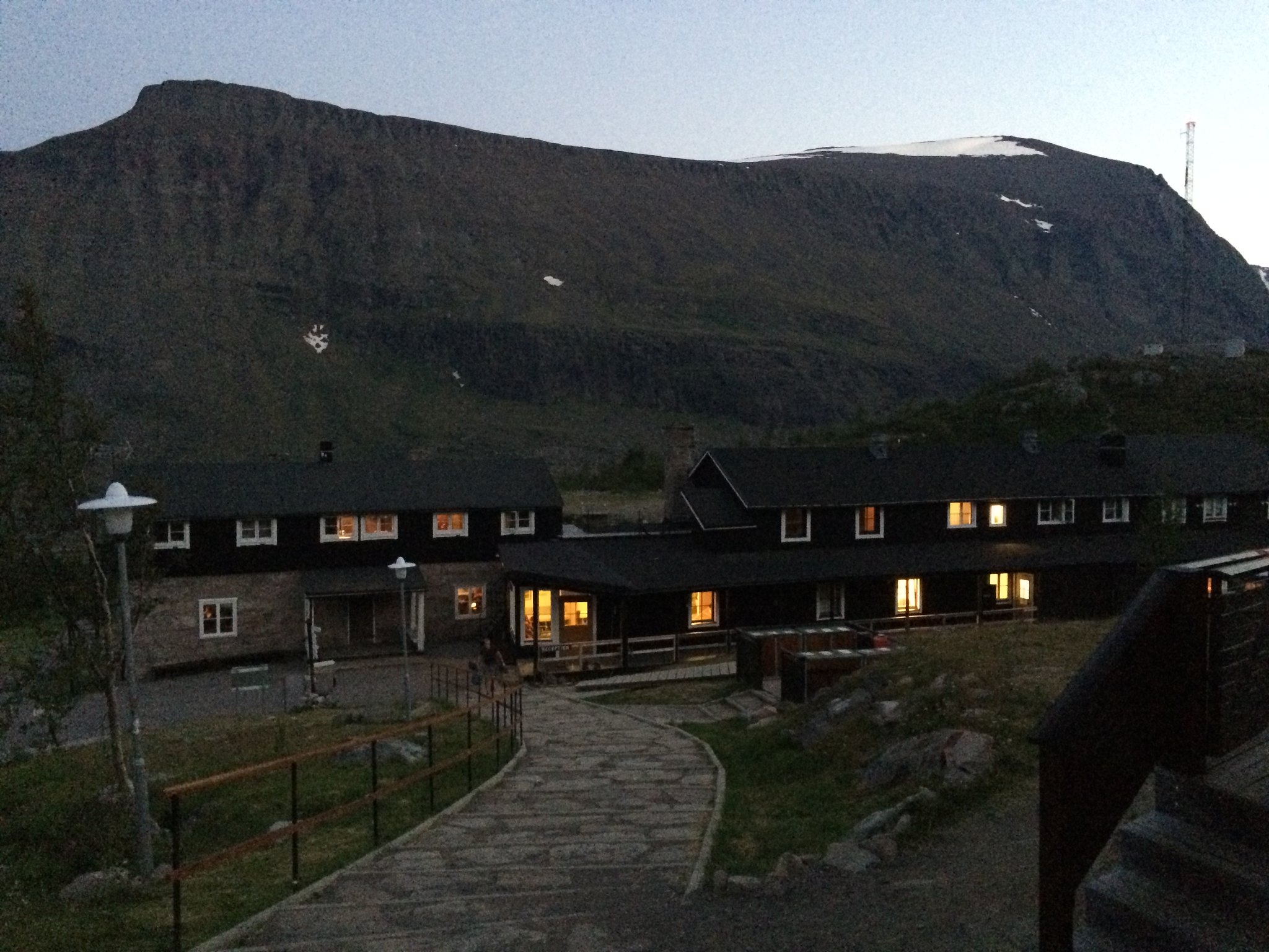
Base camp:
 Untitled
 by
john, on Flickr
Facilities
 Untitled
 by
john, on Flickr
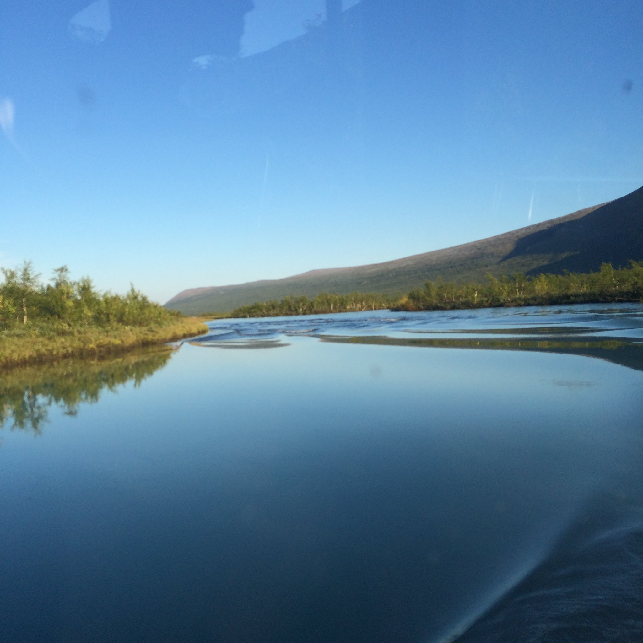
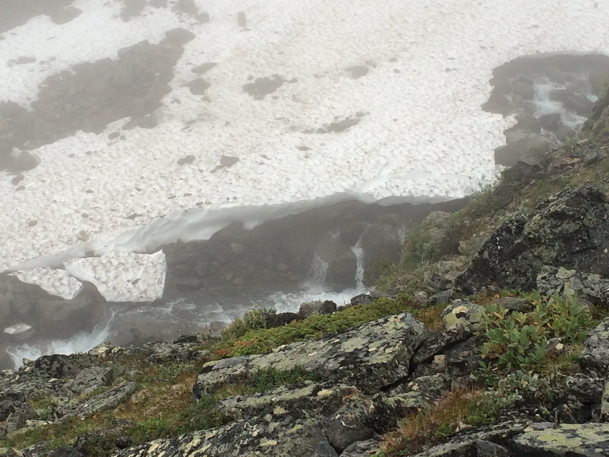
The approach path is fairly easy going and we made good progress. In contrast to the blinding sunshine of the previous day, the clouds hung low in the valleys and visibility was poor. But this made for pleasant walking conditions. We were pouring with sweat even in our t-shirts, so I was glad it wasn’t hot.
 Untitled
 by
john, on Flickr
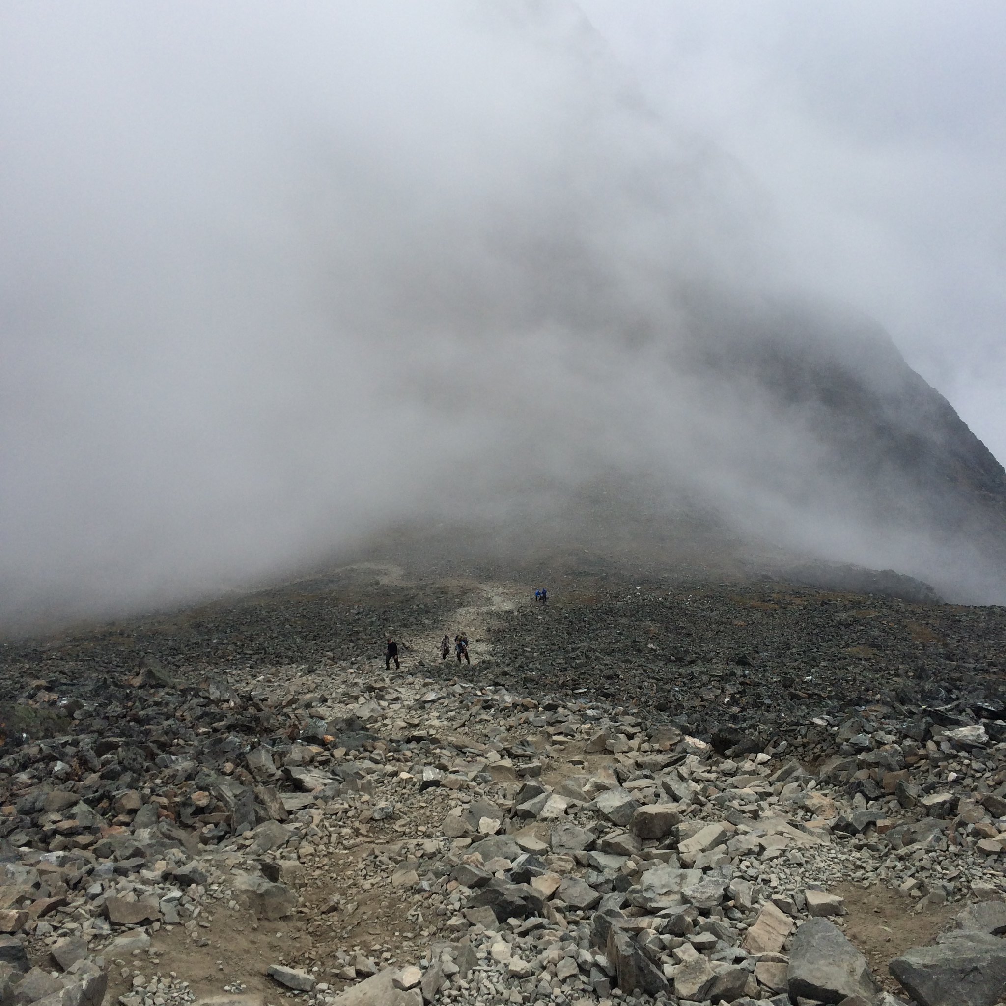
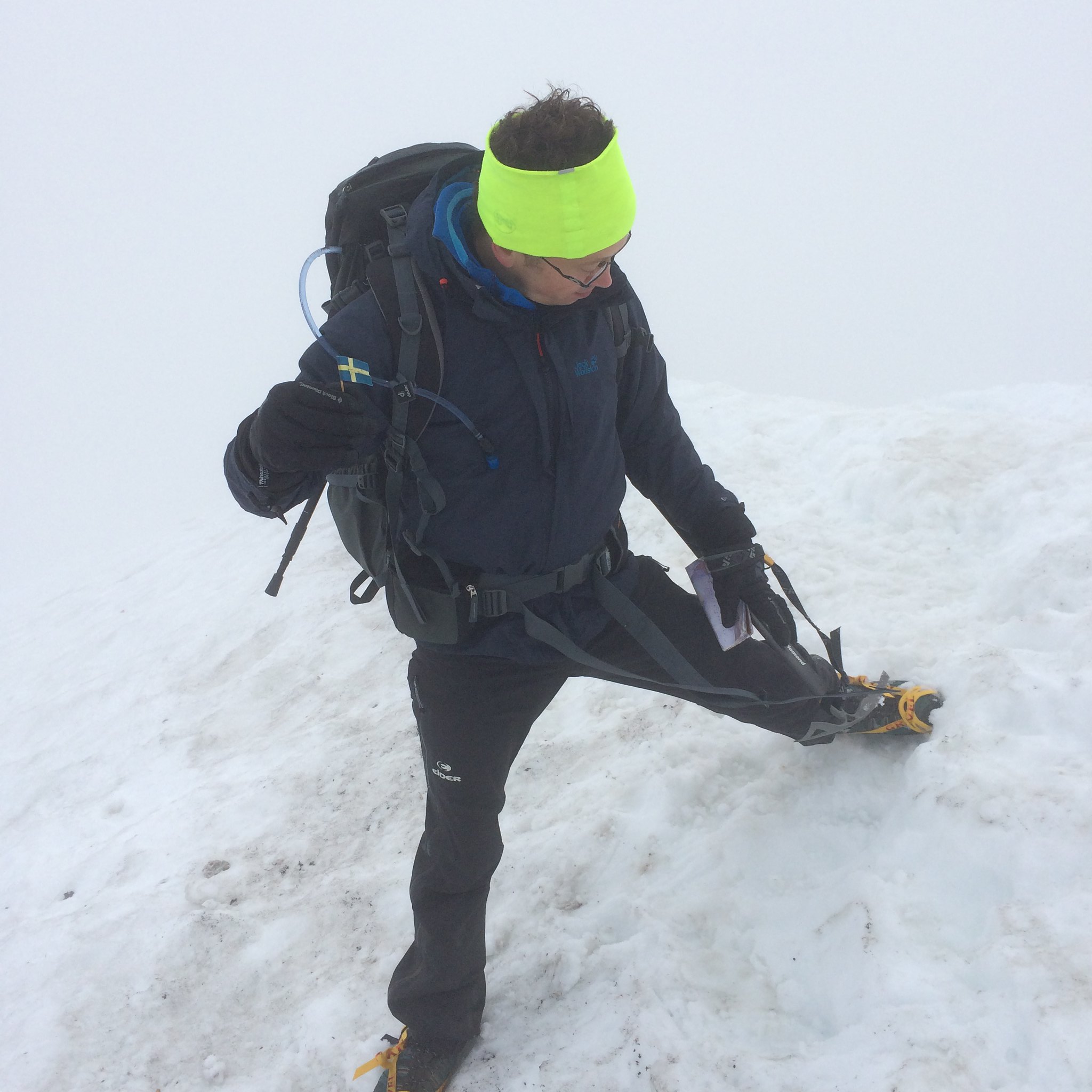
There are four really steep sections where you climb about 300 metres very steeply. The rest of the path is steadily uphill. At one point you have to drop 200 metres only to go up again, which isn’t too bad on the way there but we were cursing it on the way back. Navigation is easy with red markers painted all the way to the top - or at least to the glacier, which just sort of lies on the top of the hill. We were stumbling around in pretty thick mist up near the top looking for the glacier and then it just appeared out of nowhere. It rose steeply and disappeared into the clouds very quickly. From the map we could see that there were sheer drops of several hundred metres off each side of it. I put my crampons on and slightly nervously set off for the last 50 metres up Kebnekaiser.
 Untitled
 by
john, on Flickr
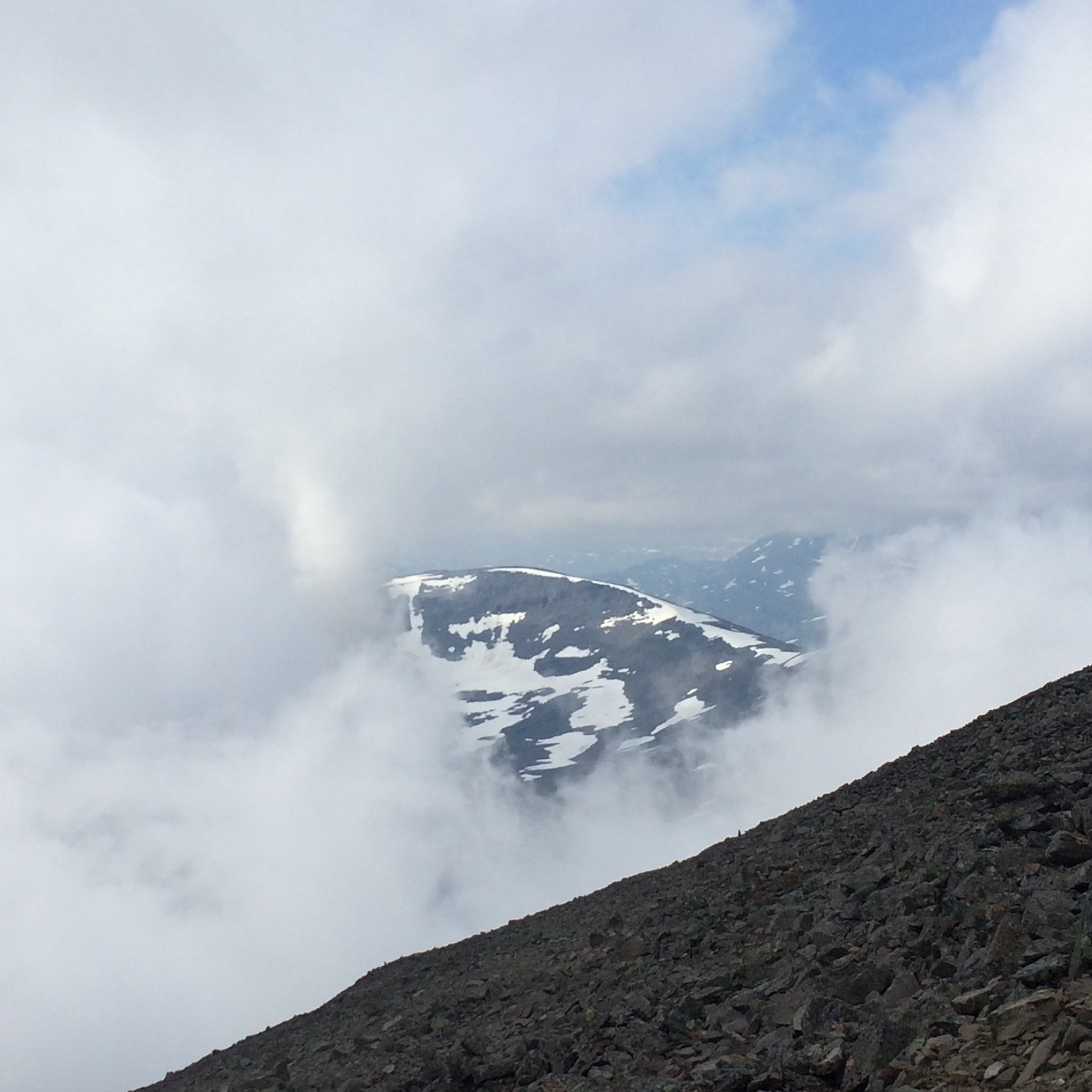
The best view we got all day:
 Untitled
 by
john, on Flickr
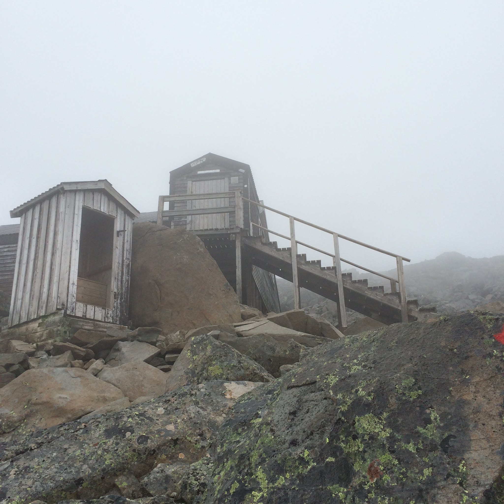
A storm shelter (complete with door-less toilet) near the top:
 Untitled
 by
john, on Flickr
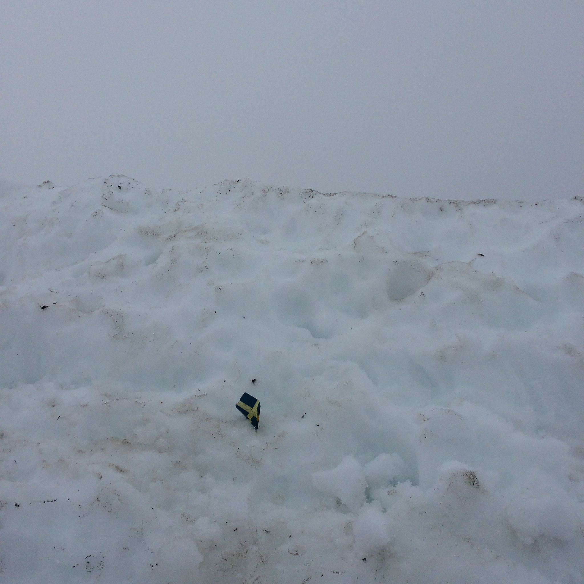
They say you can see 10% of Sweden from the top on a clear day. We were in the middle of a thick cloud and saw nothing at all. There was just enough visibility to plant a tiny Swedish flag on the top, take a photo and turn back. Just as I was thinking it would be madness to come up here without crampons, two Swedes shouted up to us asking if we’d been to the top. “Yes" , we said,"but it’s a bit dangerous”, I added, seeing them sliding around on the ice in summer boots. Undeterred, they stuck their walking poles into the ice and heaved themselves up the glacier, sliding backwards all the time. But who are we foreigners to patronise Swedes about snow and ice? So we left them to it. And we saw them later on the way down, so they were fine.
 Untitled
 by
john, on Flickr
 Untitled
 by
john, on Flickr
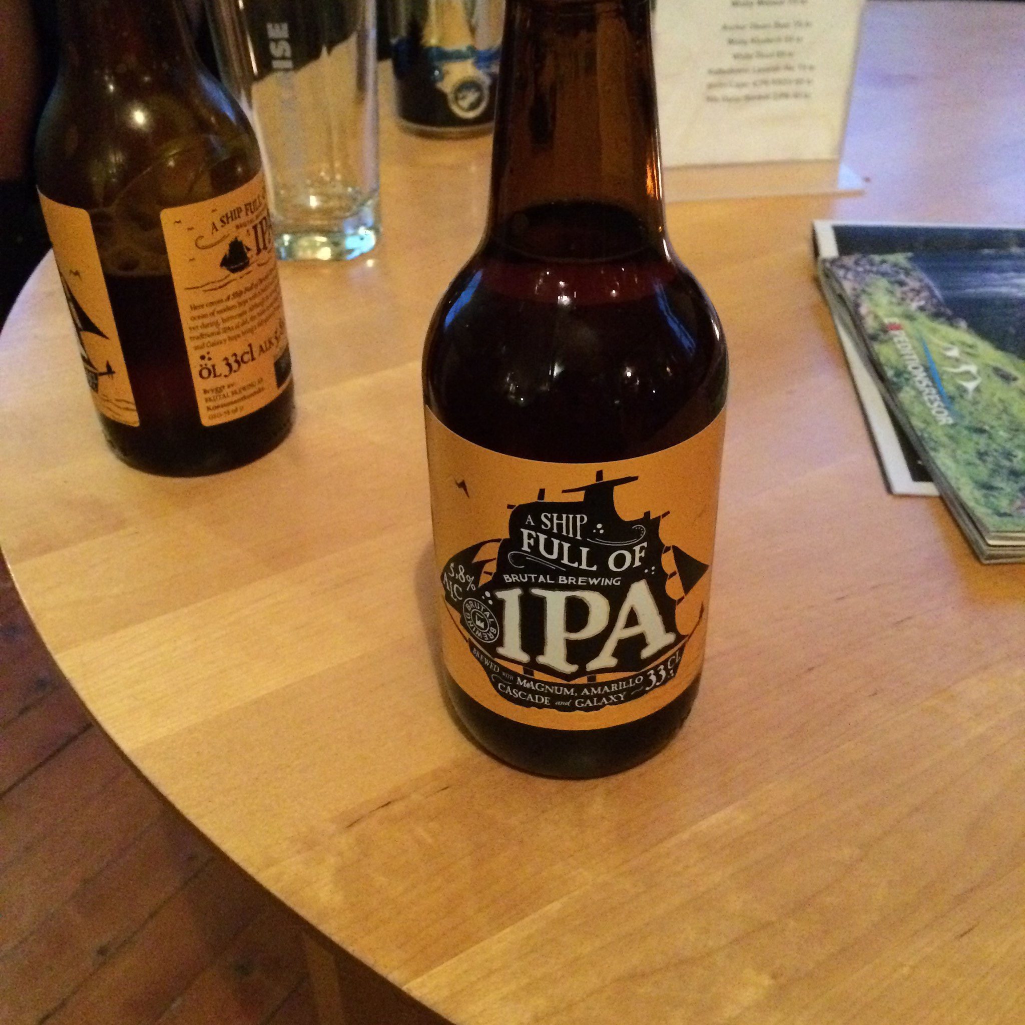
The way back was a long slog, especially the last few km. The sauna, shower, and microwave meal back at basecamp were all welcome, but the 'Ship full of IPA' and Highland Park were the perfect end to a very long day.
 Untitled
 by
john, on Flickr
This morning we heard that two guys are currently stuck near the top having got cold and sick, but the police can’t send the helicopter out because the weather’s too bad. Despite the poor visibility, we were lucky with the weather this week. I wouldn’t fancy being stuck up there in bad conditions.
