free to be able to rate and comment on reports (as well as access 1:25000 mapping).
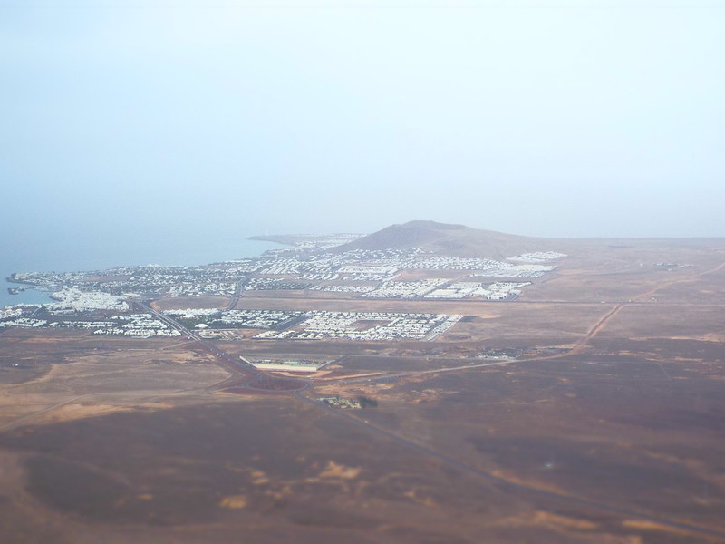
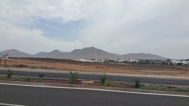
With it dominating the skyline to the north east of Playa Blanca during my holiday, I was itching to climb Hacha Grande all week long. Having climbed up Montaña Roja on my first full day I left it until my last full day to go for it and despite only being 562 m (1844 ft) above sea level, the height of Glas Bheinn on Jura or just shy of Meall nan Damh on Arran, the "Large Axe" looks a lot more intimidating!
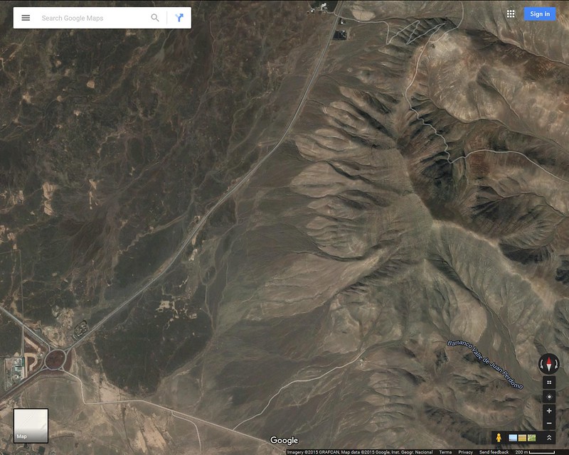
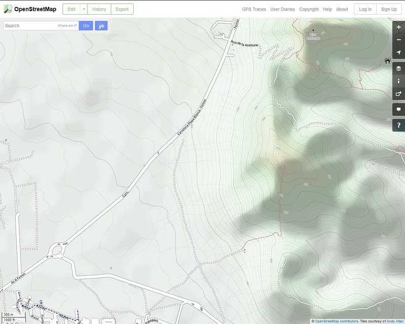
With no decent walk reports to be found anywhere (not counting a few trail running ones) it was up to me to use my ViewRanger app for the first time and record a nice circular route which I had planned, starting with a long walk in from next to Montaña Roja, up the south east shoulder, up to the summit, down the north west shoulder and "wrist" then down to the Carretera playa Blanca - Femes road for an even longer walk out. I also toyed with the idea of going up Pico Redondo (535m) next door but that would be dependent on the heat and stamina as walking up a volcanic hill was new territory for me plus the long walk home would also be a deciding factor.
I was also tempted to try and take in Atalaya de Femes (608m) further north but with a nest of radio antennas at the top of a rounded peak, along with a hefty descent then ascent from Pico Redondo (if I was to add that to the walk) I decided against that and would focus on the one that had enticed me the most during the week.
So, with a huge steak munched the night before helping me to get an early night I was up at just after 7am to pack my bag with a large (and small) bottle of water, some crisps and mints, my camera and spare socks while grabbing some cheese on toast and tea for brekkie and I eventually set off at 7:45am, just as the sun was rising. With cloud cover everywhere it looked like I wouldn't be cooking too much in the heat which suited me fine since it had been around 28-31 degrees most of the week.

I started off ViewRanger where I had begun my walk up Montaña Roja and would finish at the same spot which would be well handy for this walk report, since the lazy Ordinance Survey haven't bothered to cover the Canary Islands yet and Walkhighlands don't cover it for drawing your GPS route!!


(I have since discovered that I probably could have purchased a ViewRanger OS map of the area, oh well!)
You can find the ViewRanger route at the bottom of this report and it isn't 100% accurate as it shows me jumping across the street a few times, cutting corners and I don't know what it thinks I was doing at the summit while taking photos as I wasn't quite running about like a maniac and instead spent most of the 45 minutes at the top sitting next to the trig point to point and shoot, zoom in on the features all around me and admire the view of the entire island!
I drew my route out on Google Earth anyway and added an Openstreetmap screenshot so people can see the path up, which I didn't quite take to begin with as you can see from the red line:
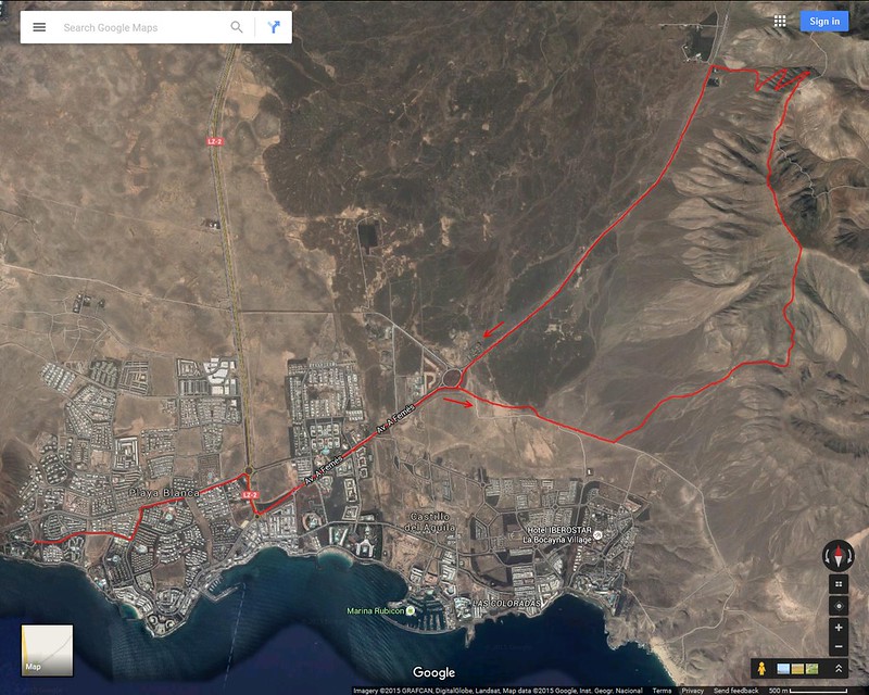
I would do this route anti-clockwise so that the longer journey was kept for the way back:
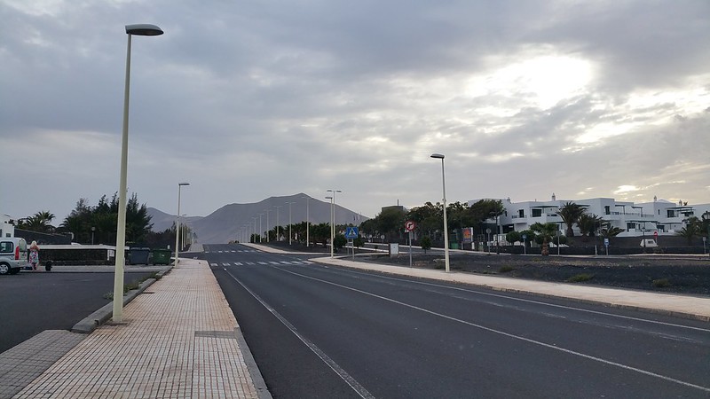
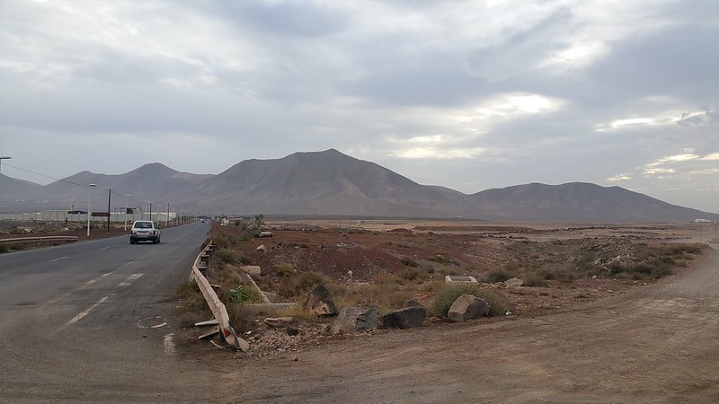
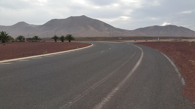
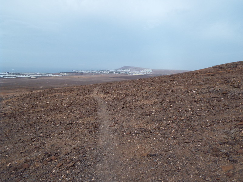
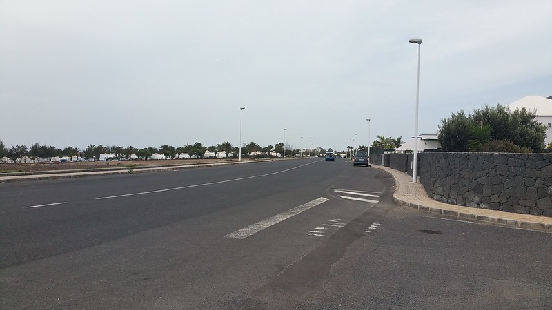
To begin with I had a long slog of a walk along the main roads before even getting to the base of the mountain and it would take me just over an hour to get to the bottom:
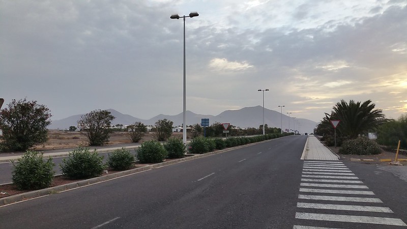
Seeming awfully far away to begin with, the quick progress along the main roads helped as Hacha Grande slowly got closer...
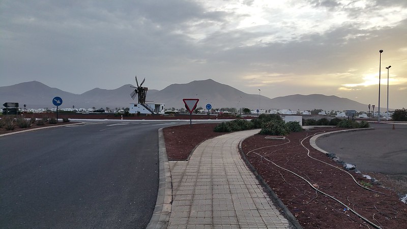
Now almost out of the town of Playa Blanca I just have one more straight to go...
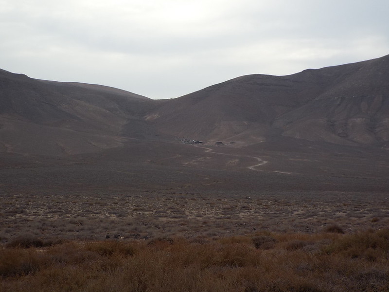
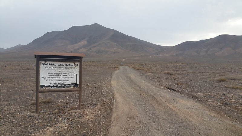
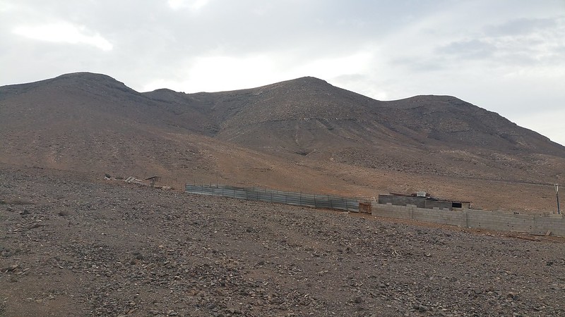
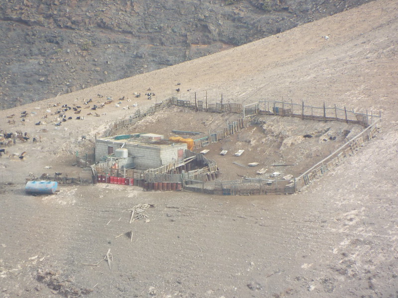
...before turning right at the large roundabout and heading along a dirt road towards the path leading up to the small farm below Hacha Grande:
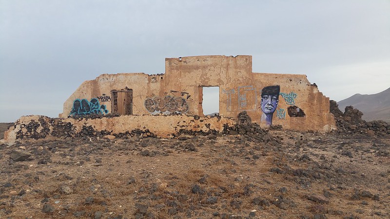
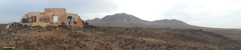
I decided to cut the corner of the track slightly and head to a ruined building to take some pics with the impressive Los Ajaches range as a spectacular background:
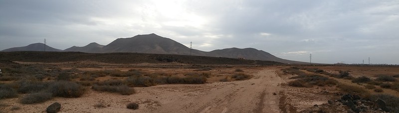
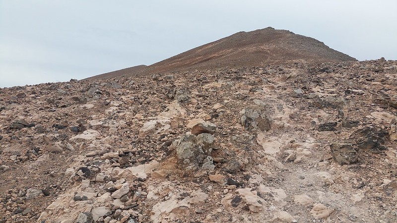
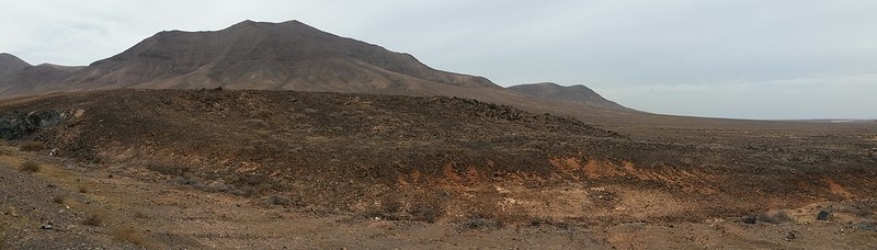
With a very volcanic rock filled desert it was best to stick to any paths I could find and luckily there were plenty about:
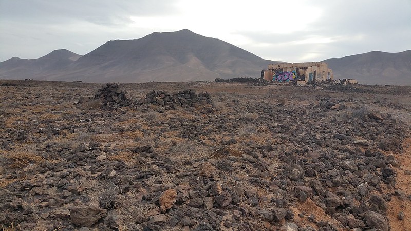
The ruin:
The ruin with Hacha Grande behind and to the far right the dirt road I would return to shortly:
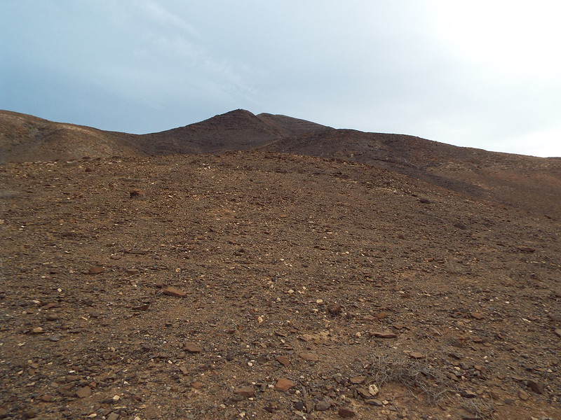
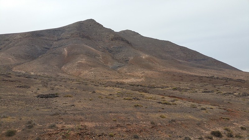
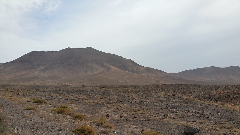
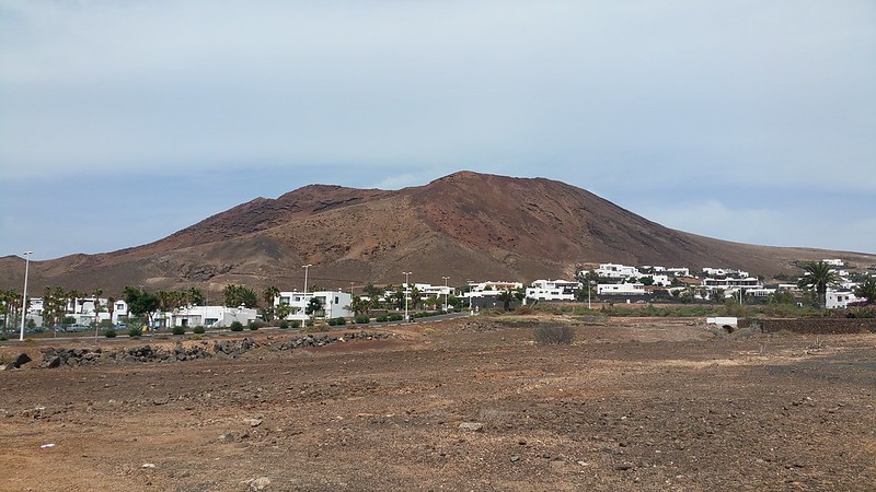
The "Large Axe" looking like a volcanic mini-Munro!

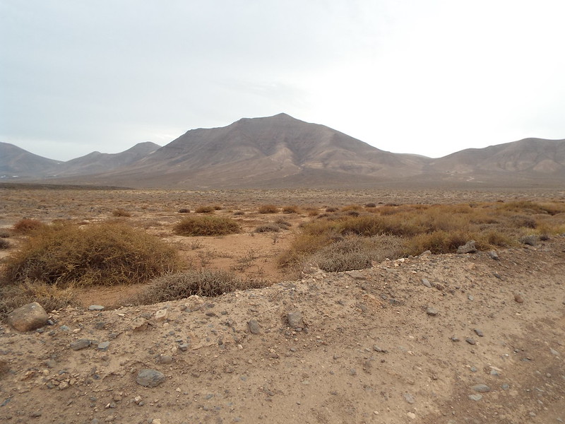
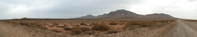
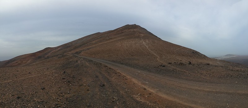
Mountains always look more intimidating from a distance... Hacha Grande is a lovely shape with two broad shoulders and a pointy summit which I would take in from right to left:

My path up to the bealach (sorry no Spanish translation for this!
) and "Angry Dog Farm" at the base...
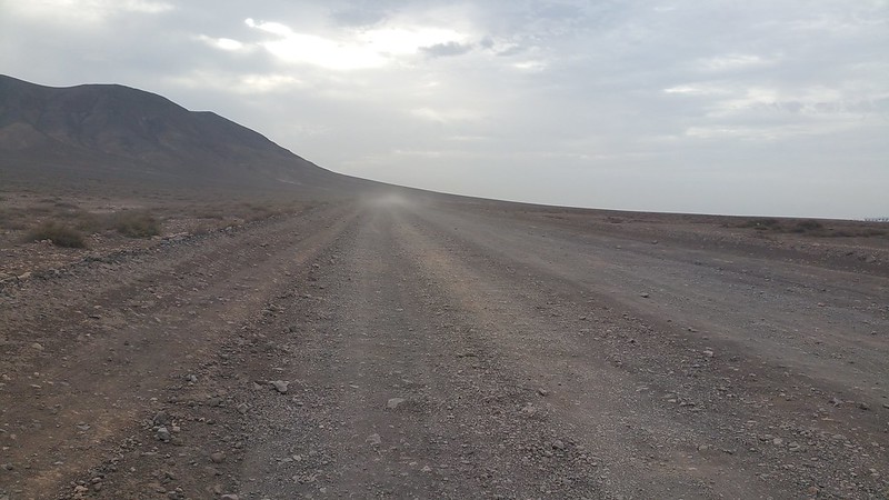
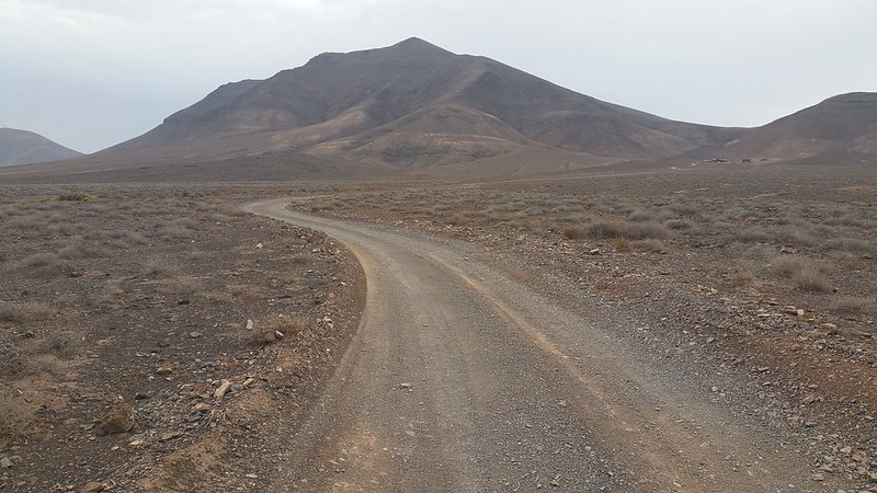
Now I was back on the dirt road which made for easy walking...
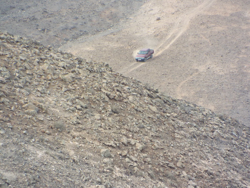
...apart from the mini dust storm of a passing jeep!
After just over an hour of walking I reached the final path heading up to Hacha Grande... only to be passed by a local runner who looked like he ran up here before brekkie every day! Well I was there for the views and not the race, I just don't understand fell runners, too many ankle breaking opportunities if you ask me and I like to spend some quality summit time instead of rushing back home!
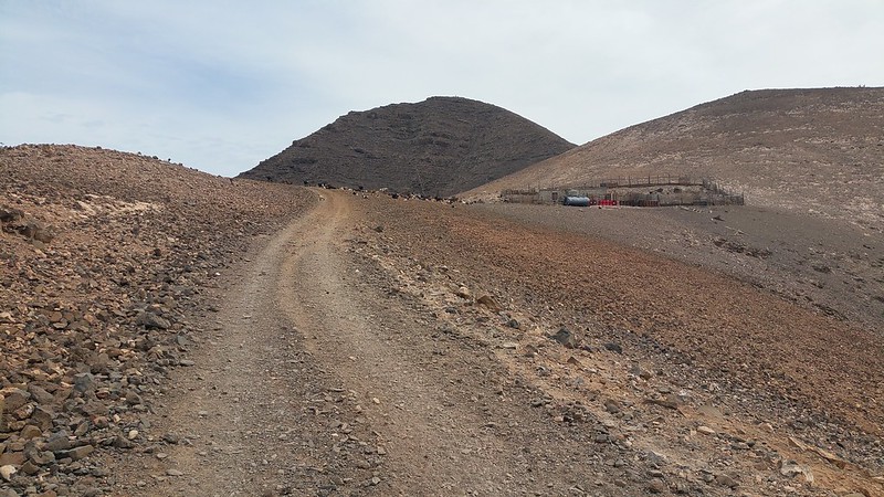
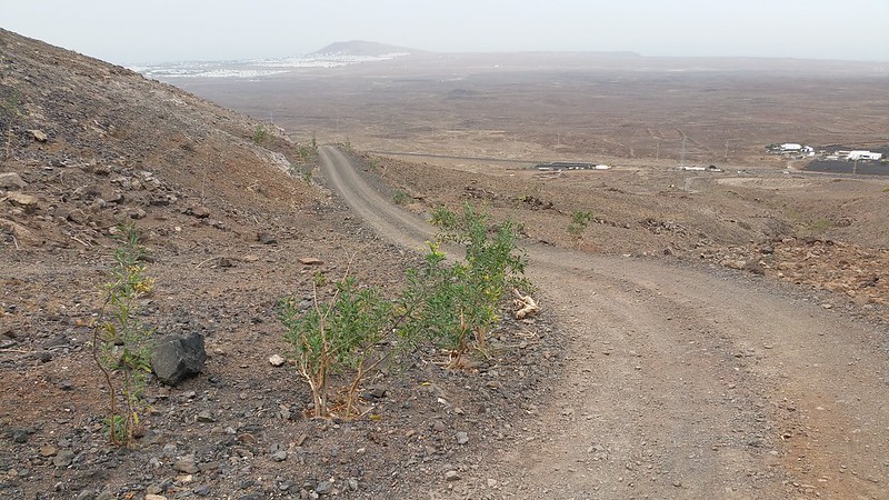
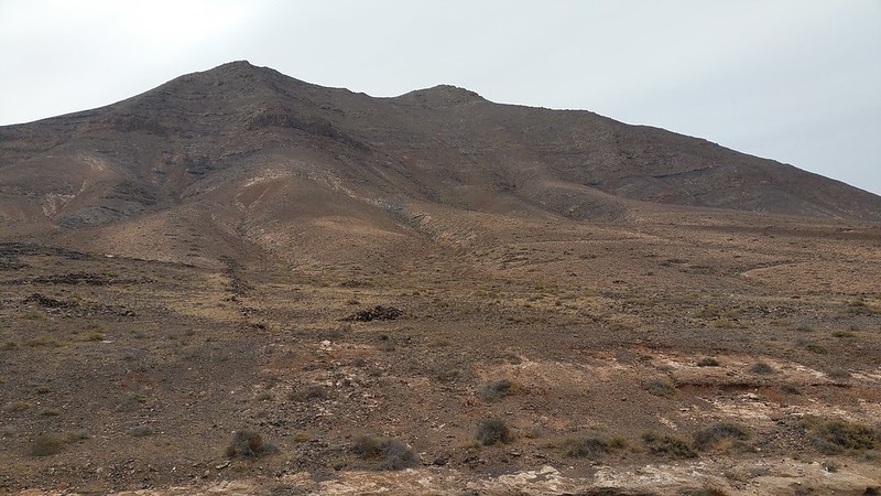
The dirt track up to the farm is again easy going and Hacha Grande now begins to loom ever closer!
The runner ahead set off a symphony of loud barking indicating awaiting dogs at the farm he was passing!
Ok so it's no Liathach but it still looks good!

I passed the farm with at least 4 large dogs all barking away to indicate my arrival and luckily they were all chained up or I would have been passing the runner ahead of me!!
The smaller hills to the south of Hacha Grande, on my right:
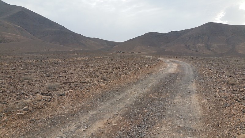
The track to the farm turns into a path now as it snakes up the south of Hacha Grande to the bealach:
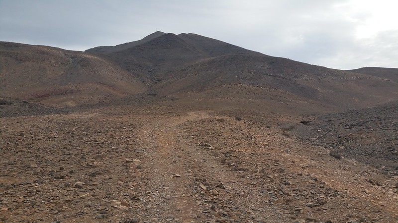
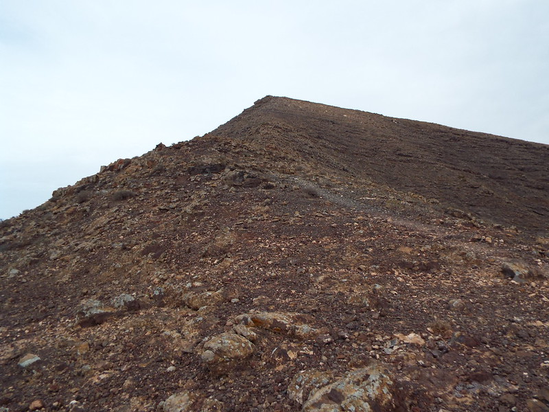
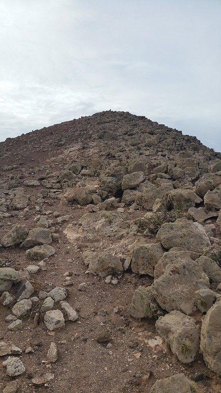
Now the ascent begins!
The summit still seems awfy far away even now!
A zoom shot shows some of the rocky terrain i'll soon have to deal with on the ascent...

Looking back towards Montaña Roja where I began the walk:
After a long walk in i'm finally starting to gain some altitude!

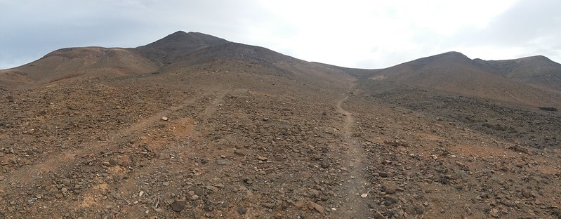
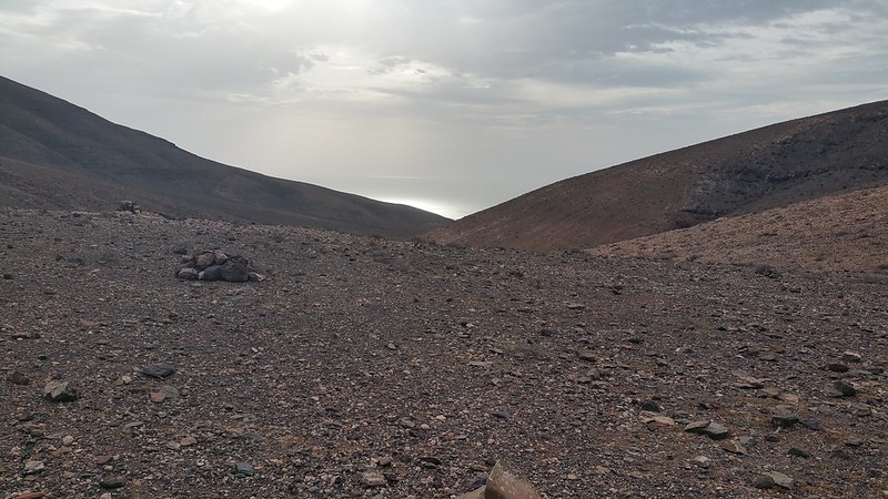
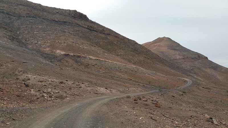
I reach the bealach and can now see north although a large arm of Hacha Grande still blocks my view of the rest of the island but a nice breeze hits me too which is pleasant:
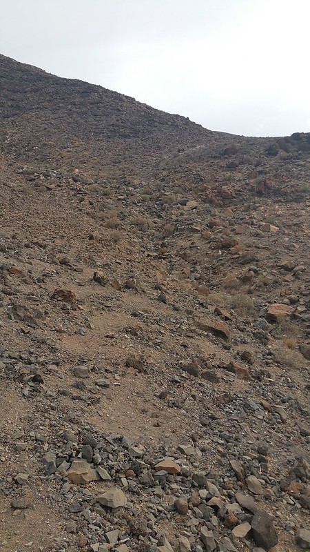
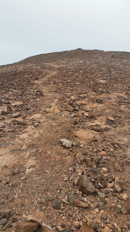
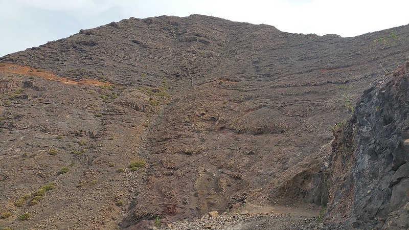
Looking up towards the summit you can see the path on the left but I opted to go off piste a bit and head right towards what looked like a less steep way up... a slight error as it would soon involve a lot of slippy scrambling on all fours up loose scree!
A final look down to Playa Blanca before I head up and i'm probably level with Montaña Roja already!
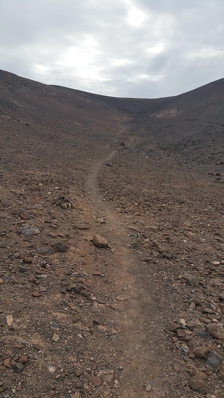
My "path" up but it was still fun and gave me some good scrambling practice with the realisation that finding solid rocks in the ground to move upwards on was the best course of action:
After a bit I decided to head left to find the proper path which you can see down below here and while doing so the runner passed on his way down so at least I didn't have to deal with him giving me a disapproving look at my walking up the mountain he had just run up and down in no time!

My view looking straight ahead as I continued to climb up and veer left to find the path, not the easiest going but a decent challenge trying not to slip!
The going soon got a bit easier as I looked down towards Papagayo:
At last I reached the path and continued upwards...

Lovely views to the south west already!

And the hills to the south east:
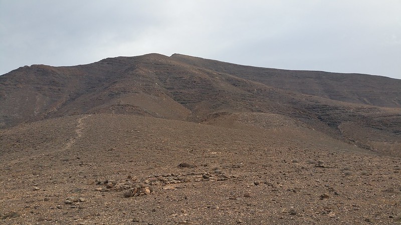
Almost at the first shoulder and still a few steep sections to go before the summit:
A small cairn marks my arrival so I stop for a breather and another big swig of water to take in the view of my path up to this point:
Papagayo point in the distance which has the nudist beaches of Playa Blanca! (I never made it there...

)
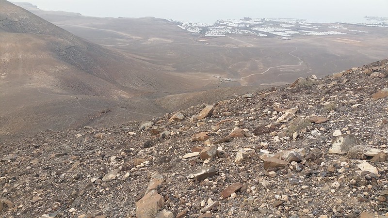
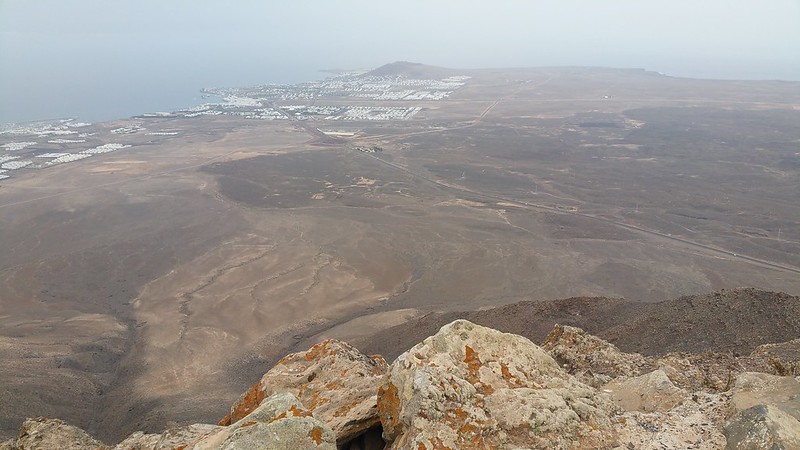
A shot of Montaña Roja in the distance and the large roundabout below where I took a right turn:
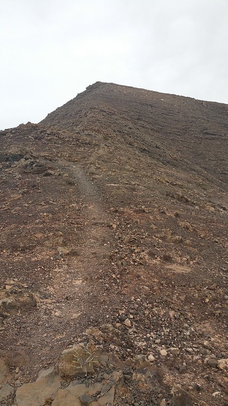
Right, refreshed and with the final stage to the summit left I head up the path:
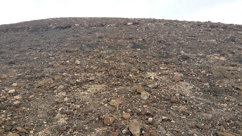
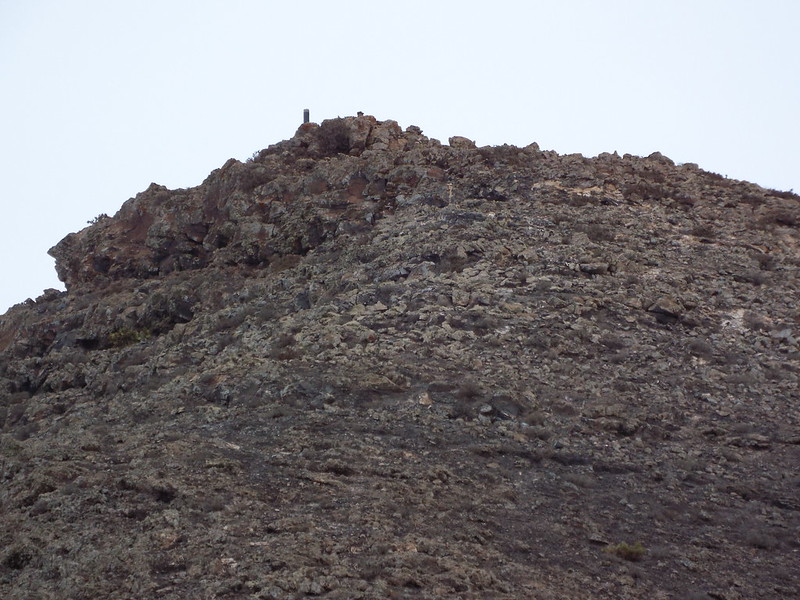
The final, steep section up to the summit gets a bit more hands-on which is fun and the trig point comes into view, almost there!
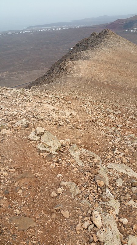
Looking back down towards the first shoulder:
Thankfully the rocks begin to get a bit bigger near the top making the going a bit less slippy although in this pic you can see the other hazard from this volcanic hiking, big, spikey plants which alive or dead always seem to be where you are about to put your hands!!
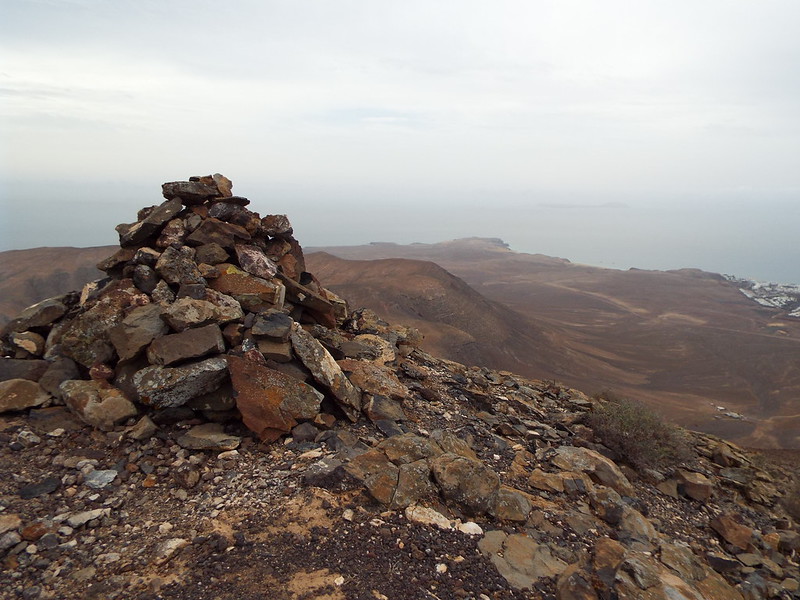
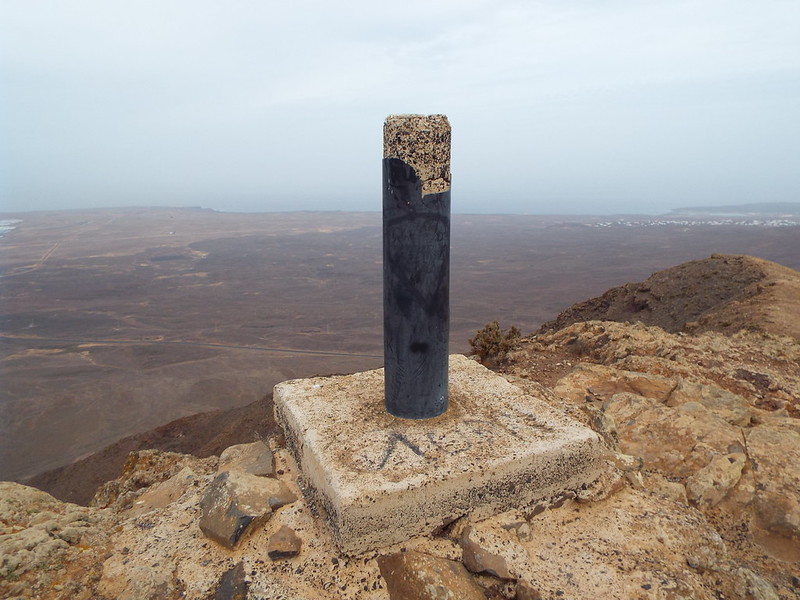
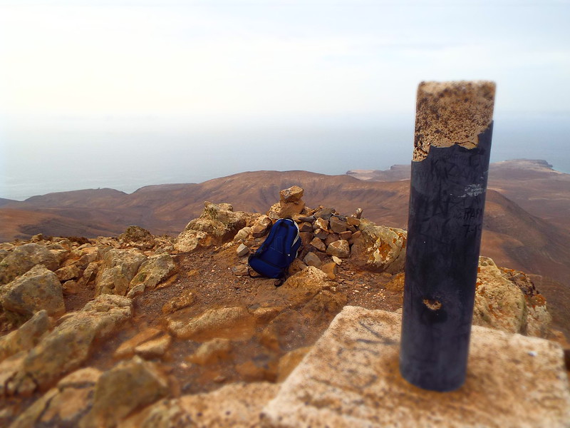
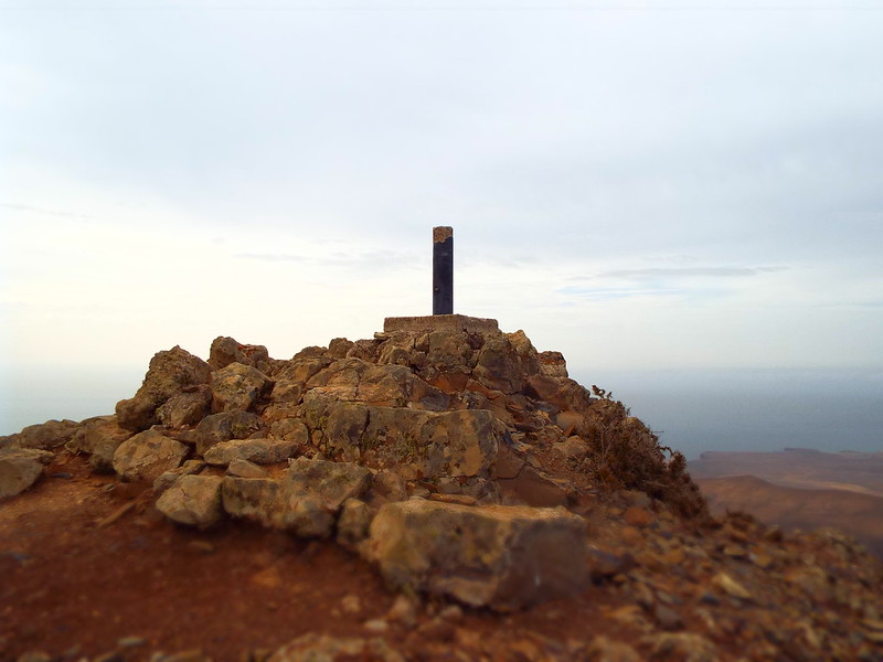
Success! I've reached the small summit and trig point at last, taking about an hour from the farm at the bottom due to my slight detour off the path earlier:

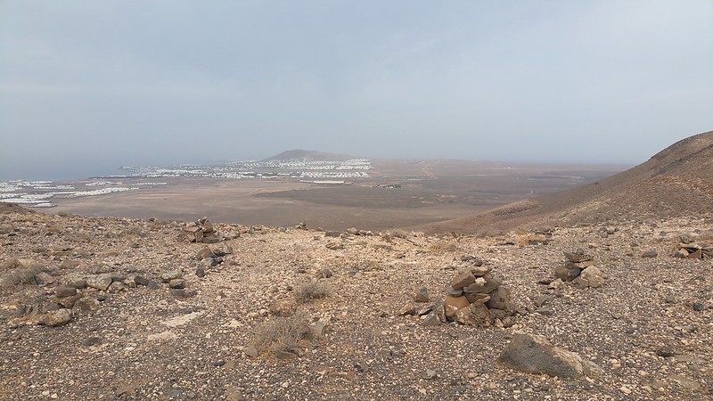
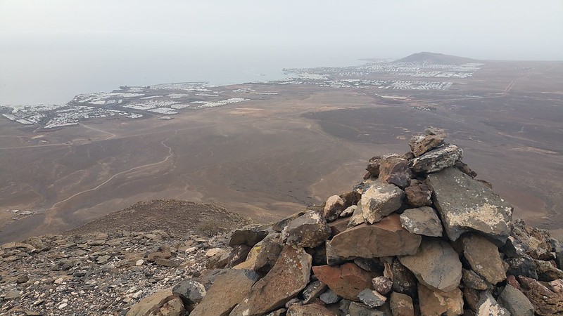
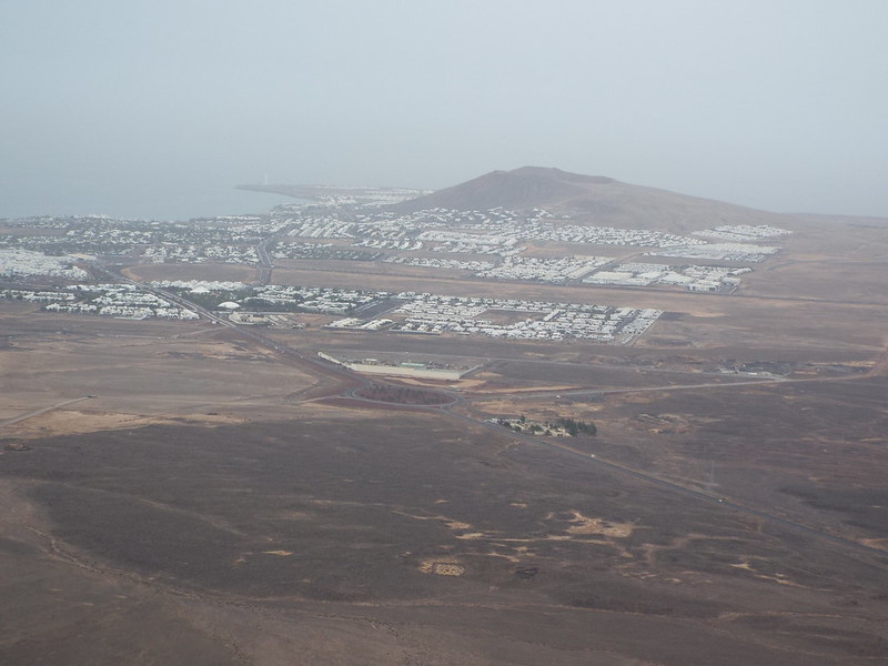
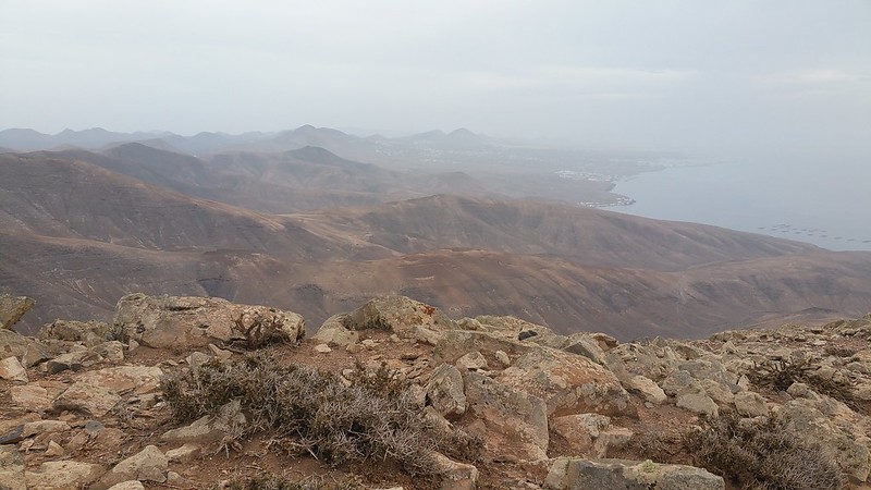
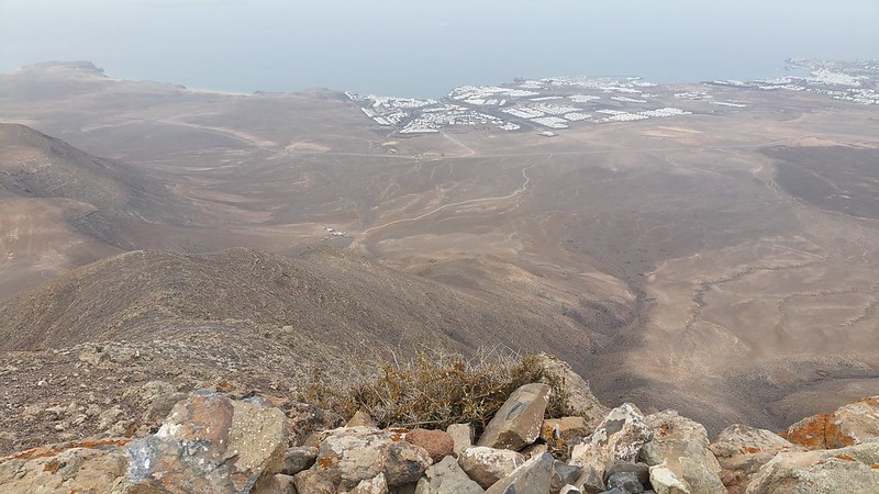
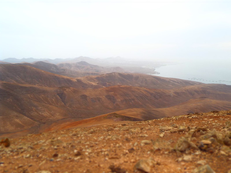
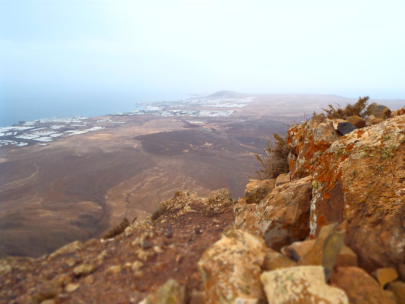
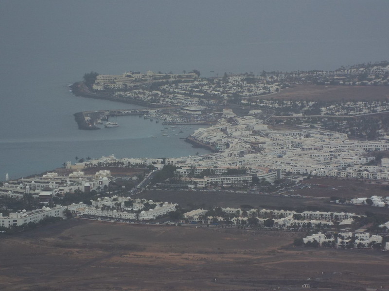
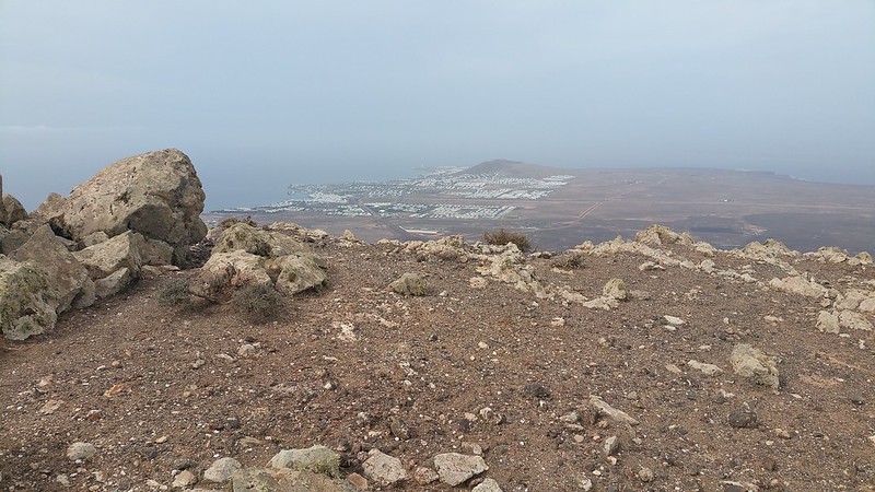
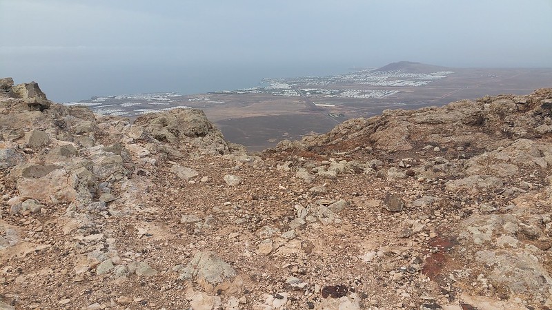
The view of the north of Lanzarote, with Puerto del Carmen and Arrecife is now available and it's a cracker!!
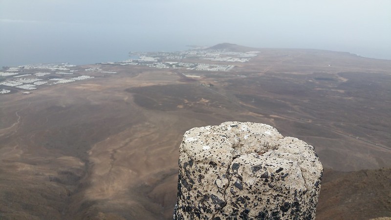
Trig point with Playa Blanca:
Now, I don't normally do selfies but since it was just me I decided what the heck and took one with my route ahead behind me:

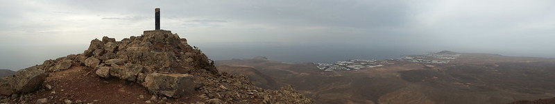
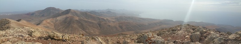
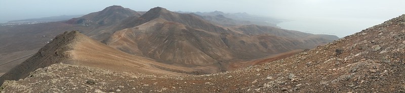
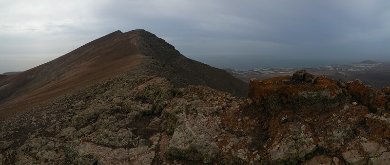
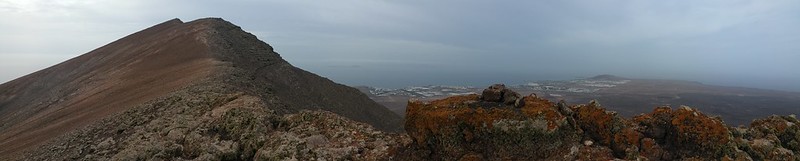
I prefer to let my summit pics do the talking though so here is the first panoramic shot to the south west:

And to the north:
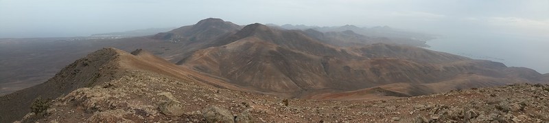
The view to the south east:
The ascent route:
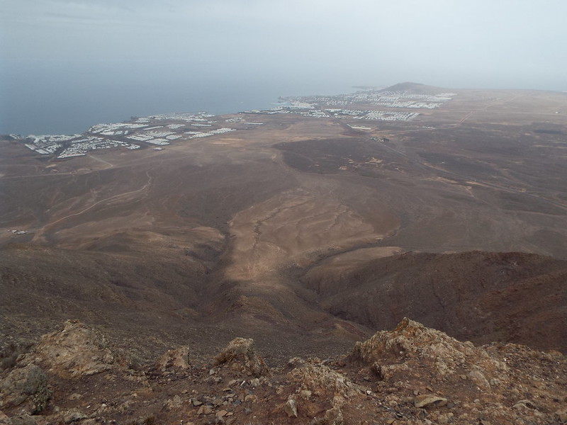
Continuing the view around the summit:
Round pole trig point, not like what we are used to back home but at least it's here!

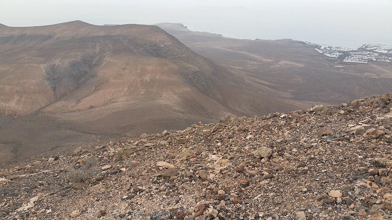
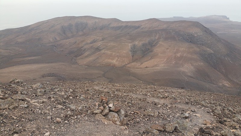
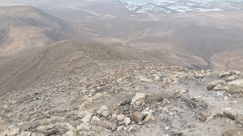
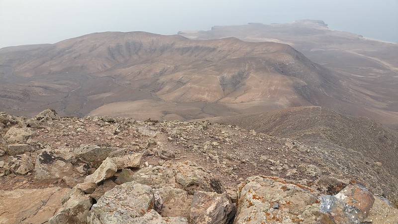
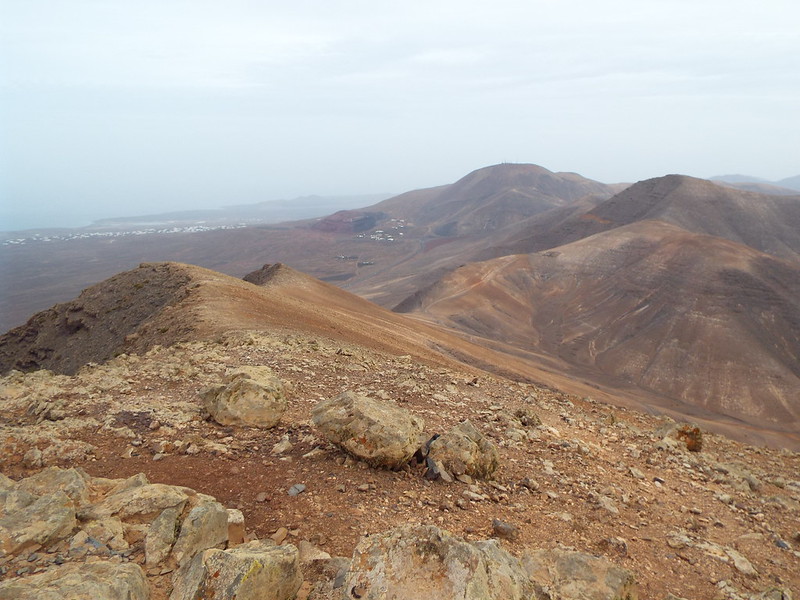
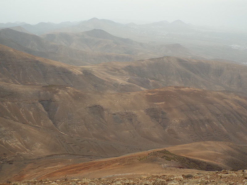
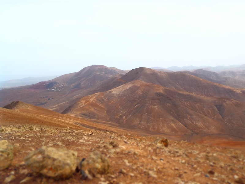
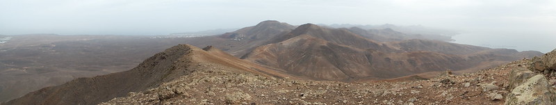
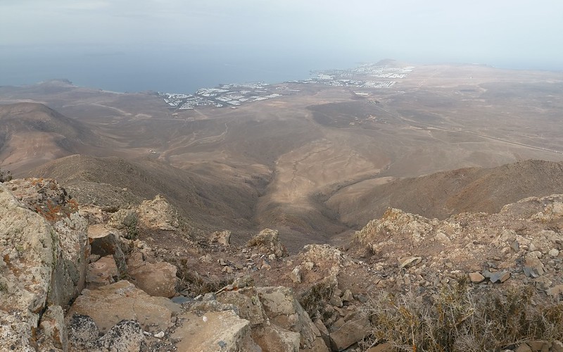
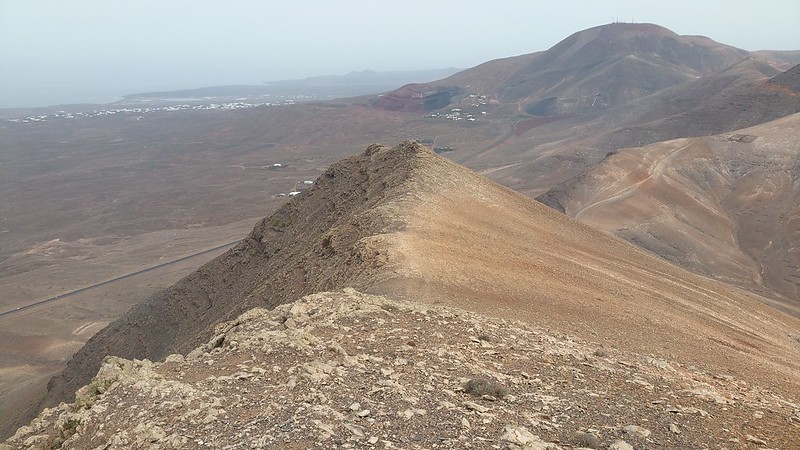
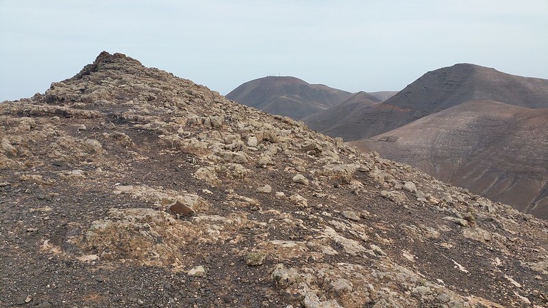
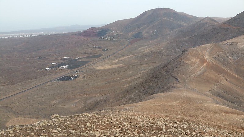
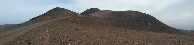
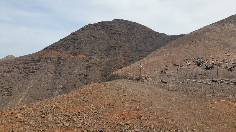
Sitting down for a well earned water break and snack it was time to take a good look around and first off is my next stop, the shoulder and 'wrist' of Hacha Grande, leading down to the track below. Atalaya de Femes and Pico Redondo dominate the view:
Zooming in on Maicot and Caldera de Masian:

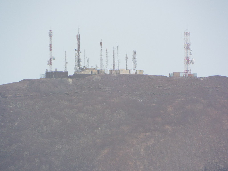
...the summit of Atalaya de Femes...it should be illegal to put masts, military bases, wind turbines etc. atop good mountains!
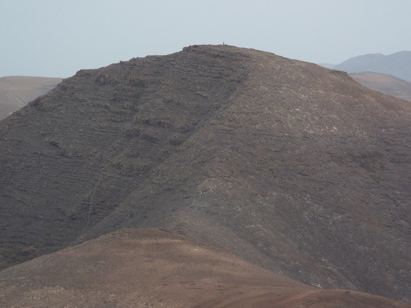
Aahh much better, the summit of Pico Redondo, sounding like an Argentinian footballer!

It looks like another steep ascent to get up there and with the heat building up i'm already thinking about the long 'out' back home and thinking not today...
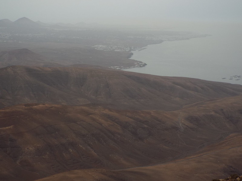
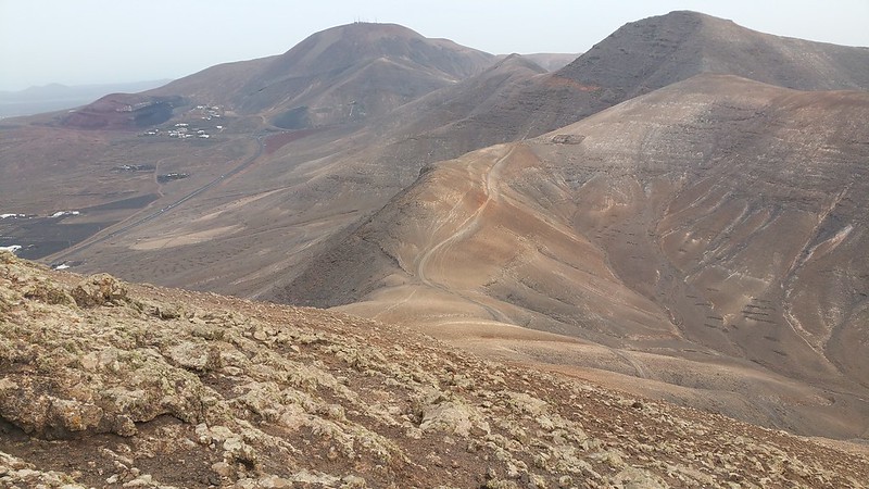
Looking north/east the volcanic hills are superb:
A few more summit views for you all to enjoy...
The easy ridge ahead for the next phase of the walk:

Pointy summit and trig point:
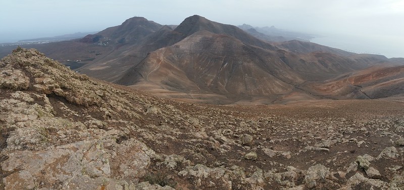
And yet more irresistable panoramic photo opportunities!
I think I have a thing for island mountain climbing! It's not quite Arran or Skye but it will do...
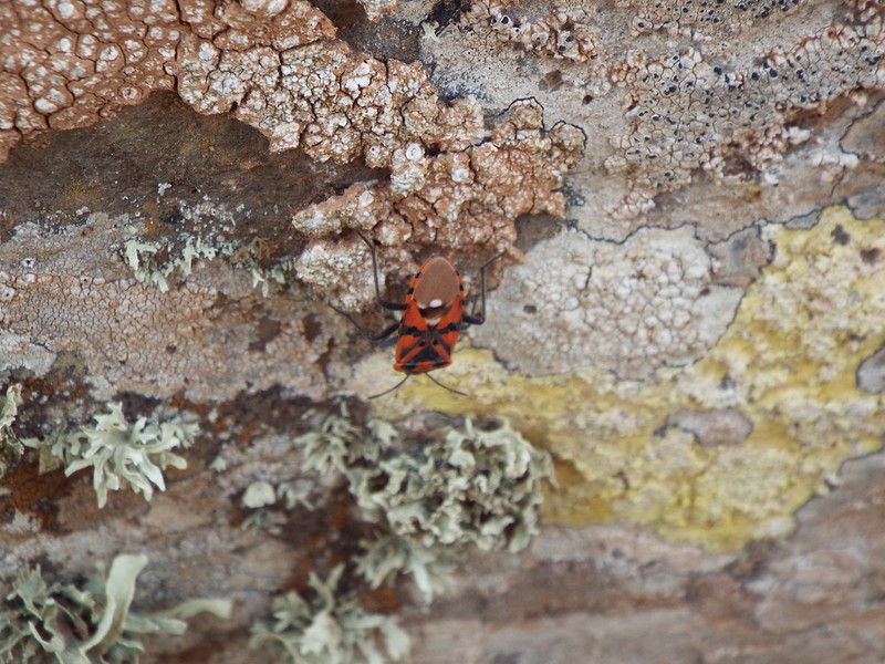
Finally I spotted some wildlife... a cockroach under a rock!!!
No Golden Eagles here but I would soon encounter a fair few mountain goats later!!
I had originally planned to stay at the top for half an hour but as it was so enjoyable I stretched this out to 45mins so i'll post a few more pics from the top and if anyone wants to see more of the same the full set is on
Flickr:
The steep south west side of Hacha Grande!
It wasn't the clearest view north but it was good enough:

I can't imagine what it must have been like for one of the local priests a few hundred years ago who was based up one of these hills and witnessed some of the volcanic eruptions of the time on Lanzarote!
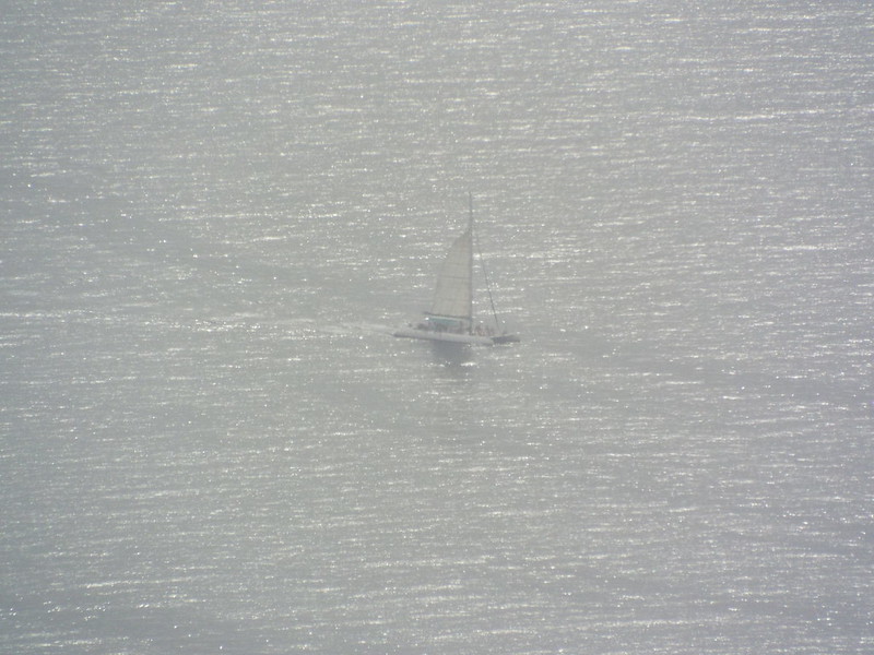
The Catamaran ferry leaving for Fuerteventura from Playa Blanca port:
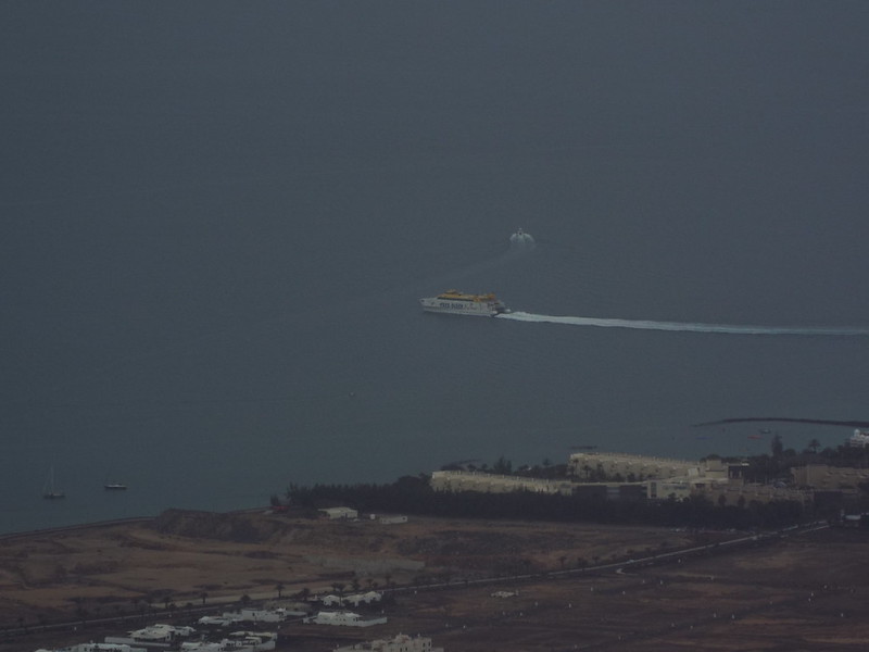
The town centre and port of Playa Blanca:
Don't... go... that way!

The sun starting to appear signalled that I should probably head off...
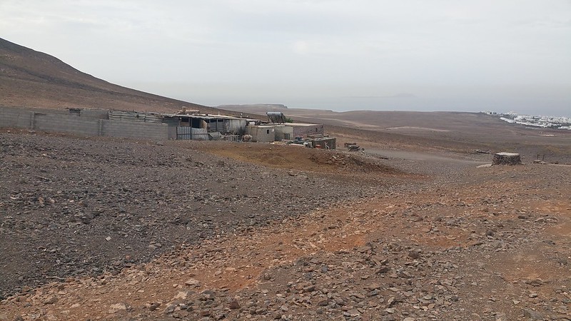
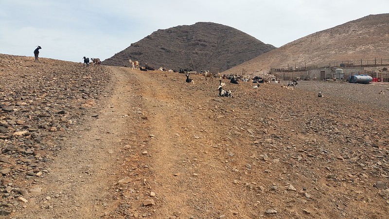
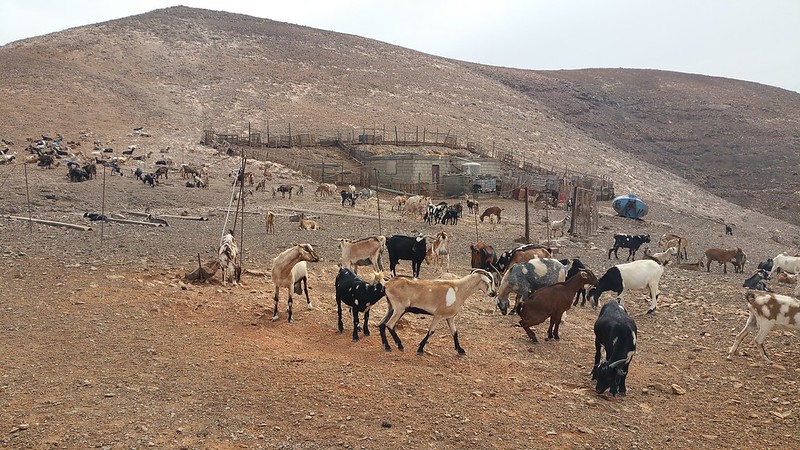
I zoomed in to see what the square structure was i'd be passing on the way down to the track/main road and it was a goat farm:
Before leaving the summit, the noise of a van down below... surely they wouldn't be driving up here in that?!?!

This was followed by the soundwaves of the "friendly" dogs barking down below and it looked like some fellow ramblers were on their way up here!
I also spotted what looked like a playboy bunny party on a distant yacht...
I could sit up here all day just watching the world go by...

But with the time now after half 10 and other walkers on the way up, I decided enough was enough and it was time to head along the easy ridge to the northern shoulder of Hacha Grande. The view looking back to the summit:
It was easy going along the ridge...
And looking back at the summit you are treated to a superb view yet again, this is a fun wee volcanic mountain!

The steep side showing my long road out and back home...

So that was the shoulder, now on to the wrist!
You could easily spend weeks climbing all of these summits!
The cursed jaggy-plant close up!
Looking back at the path down the second shoulder:
And the way ahead, a second last ascent then downhill again towards the final ascent next to the goat farm:
I'm now beginning to not look forward to the long walk back to Playa Blanca, especially if it gets sunnier as midday approaches...
The path down from the shoulder isn't very distinct:

The final peak of the day with the goat farm just to the right:
There are often two sides to every mountain, the easy slanty one and the steep rocky one!

Soon I had to head down this steep and slippery descent off of Hacha Grande which I did fairly quickly due to almost skiing down the loose scree rocks!
But first the final small peak on the left:
All done as I look back at my achievement, it's been a fun morning!!
I'm definitely glad I came down this way as going clockwise on this route would have been a killer with the long walk to the goat farm then having to tackle the mountain in this direction!

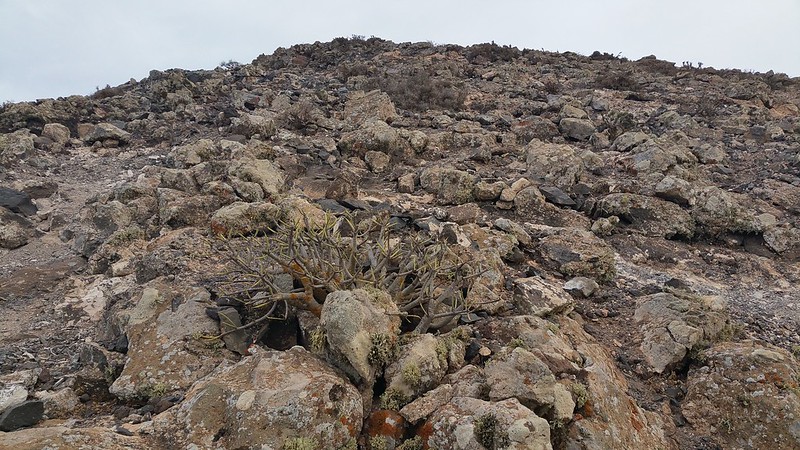
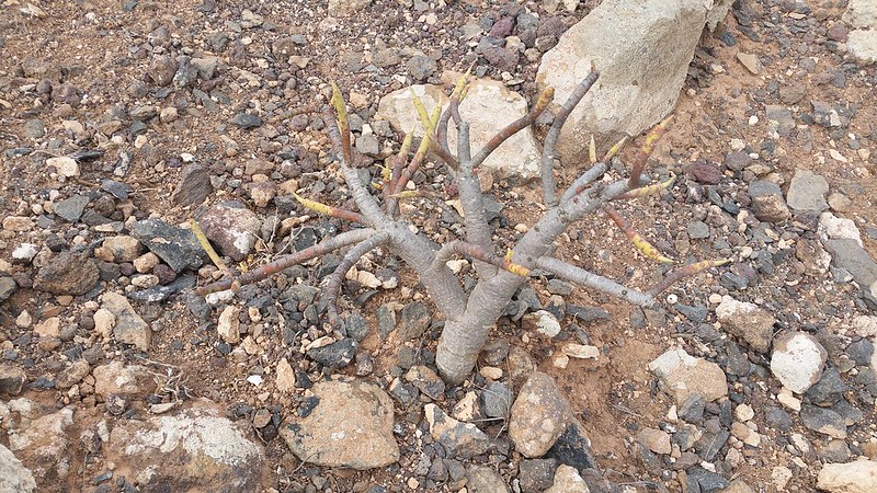
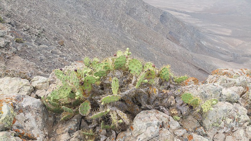
A cactus high up on the rocks, still not much wildlife about though, until the goats!
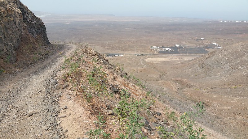
My route ahead again and once I ski down this slope and head up past the goat farm I have a twisty track which you can just make out to follow down to the main road:
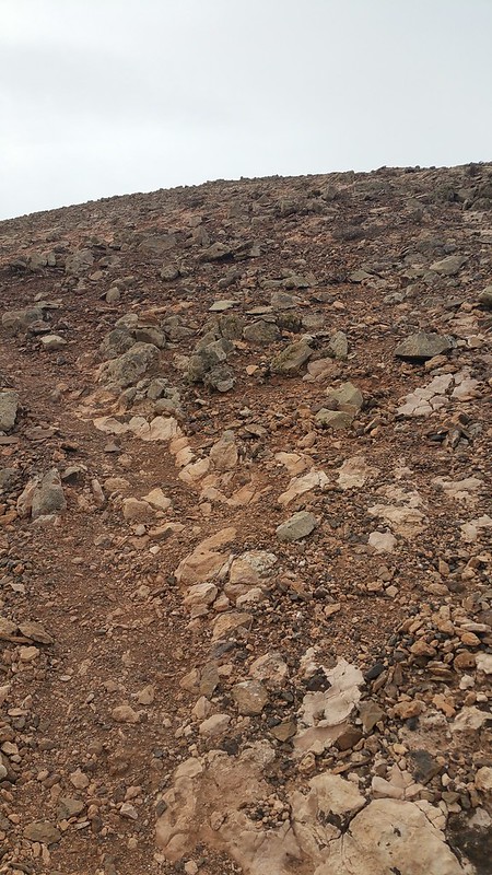
It turns out to be a fairly steep descent but I soon find the path which is marked by several mini rock cairns:
The path doesn't really help the descent though and I stick to finding solid rocks to grip on the way down while trying not to skite on my arse, even doing a "wee man" down at one point!

I think i'm ready for the Great Stone Chute of Sgurr Alasdair on Skye now after this!!
I make it down pretty fast and reach the track to then continue along it and up the final hill to say hi to the goats:
The way ahead with Pico Redondo in the middle. By now i've decided to give it a miss due to the long walkback that I have ahead of me plus i'm starting to get hungry for lunch so maybe some other time...
Looking back and the path down that I took seems awfy steep on reflection! No wonder I made such rapid progress downhill!!

It's easy going now as I head along the track:

The goats announce my arrival as I approach and don't sound chuffed at a human companion on their hill...
Despite the loud bleating they seemed fairly chilled but I still took my time walking by...
The back side of Hacha Grande *with goats.
Still impressive looking from this side but not quite as good as the other, steeper side:
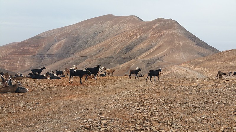
Goats of all shapes, sizes and colours including the "daddy" who was massive, had a mane and giant horns!! on seeing him (sorry no pic!) I decided not to hang around and made my exit along the path in the hope that "Satan" wasn't going to chase me away from his herd!!!
Pico Redondo's steep and craggy south facing cliff, maybe some other day...!!!
The path begins to snake down the mountain...

Atalaya de Femes, it may be higher but i'd take Hacha Grande any day over it:
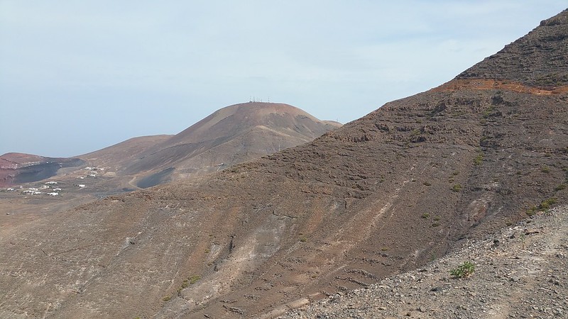
I doubt anyone has made it up this side of Pico Redondo!
Onwards I go down the track which is cut into the side of the hill, passing by a guy on a quad bike driving up. He looked more like an American tourist than a goat farmer but you never know! My exit to the main road can be seen below:
Now the walk home is not looking like fun, can't I just go back up and stay with the goats?!!
I did mention maybe getting a taxi back once I reached the road but that would be cheating!
Tarmac will be a welcome relief after all these loose rocks and tracks...
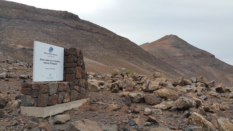
Another sign for Los Ajaches on the way out:
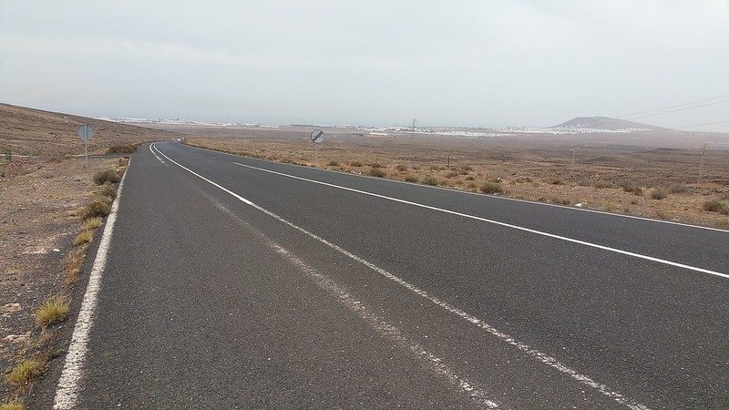
Luckily a cycle path is on the left side of the road so I follow it on the long walk back to Playa Blanca:
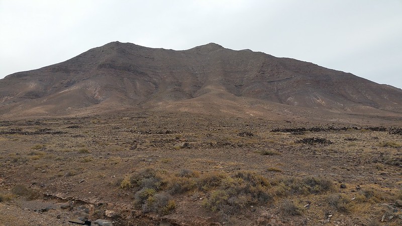
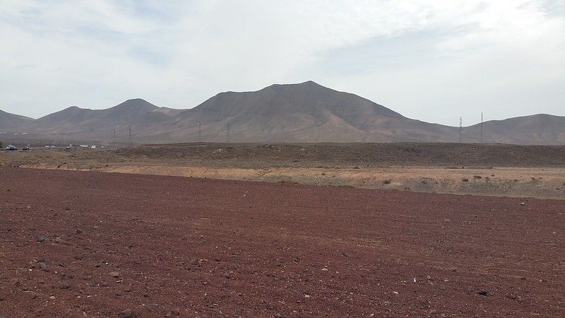
As I head home I take a few shots of Hacha Grande's different angles and tops on the way past:

The summit finally pops into view:
As I make progress along the main road it seems to take forever as it is now getting much warmer and I miss the cooling breeze from being higher up and, after a stop to remove some stones from my trainers which I only got on the final track off the mountain, i'm starting to feel a blister or two after apparently not doing up my laces properly during my pit stop, doh!
At least looking back at my morning's accomplishment makes me feel better plus i've got some decent exercise to work off all of the good food and Dorada's from during the week!
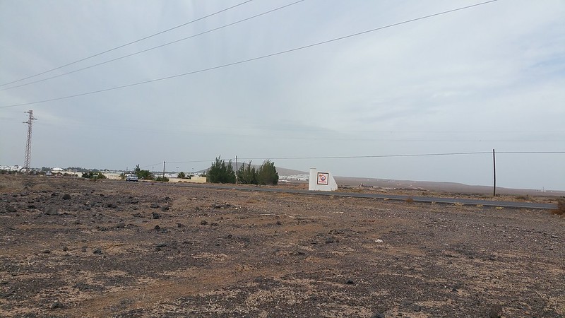
My pit stop at the sign as you enter Playa Blanca, dammit still a fair bit to go!
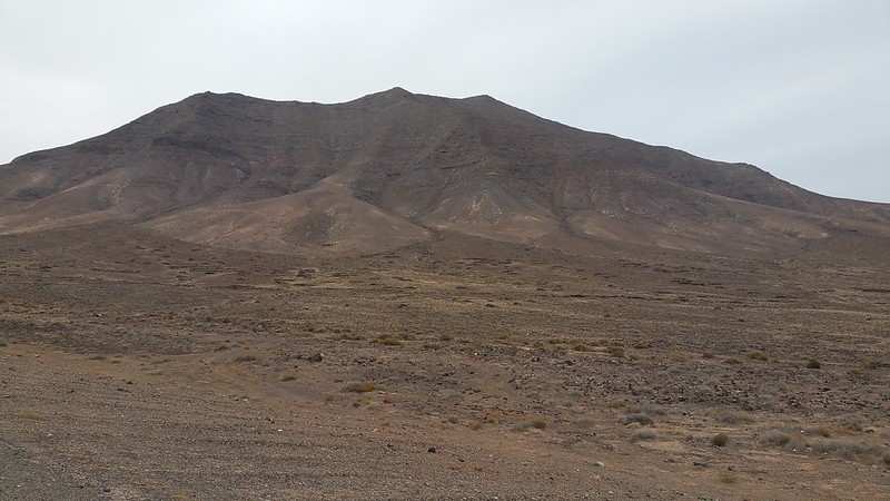
The view of Hacha Grande is now almost back to what i've been used to all week:
It's been an enjoyable hike and as I make even slower progress back to the villa, the thoughts of lunch and a large cola keep me going! Plus i'm intrigued to see if ViewRanger actually worked and check out the stats for how much distance i've covered:
Almost there...
At long last, my finishing line of Montaña Roja comes into view and I stop to check ViewRanger, roughly 22km covered and a decent volcanic mountain conquered!
On returning to the villa I meet the English maintenance guy who asks what i've been up to (as I looked a bit worn out and sweaty!) and then indicates that i'm crazy for going climbing up Hacha Grande when i'm supposed to be chilling on holiday hahaha!!

It makes it even more worthwhile to know that i'm probably one of very few who has done that while on holiday there and certainly, from all the Playa Belly's on display during the week, i'm sure there won't be many more around the resort that do make the effort!!
If you do go there though and you're one of us WH "nutters" who has the hill walking bug then you'll not be disappointed if you tackle Hacha Grande. Despite being a lowly stature compared to our hills and even less compared to the other mountains on the Canary Islands it is well worth doing.

*Edit - ah well my ViewRanger GPS route doesn't seem to work here so i've omitted it but at least it gave me the stats for the walk report.
