free to be able to rate and comment on reports (as well as access 1:25000 mapping).
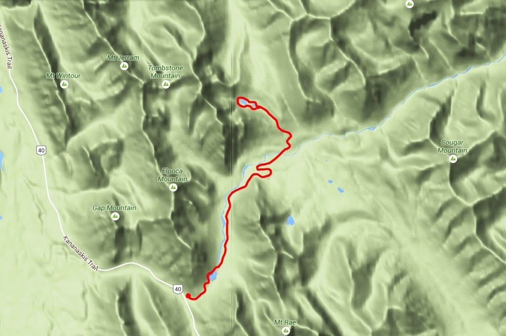
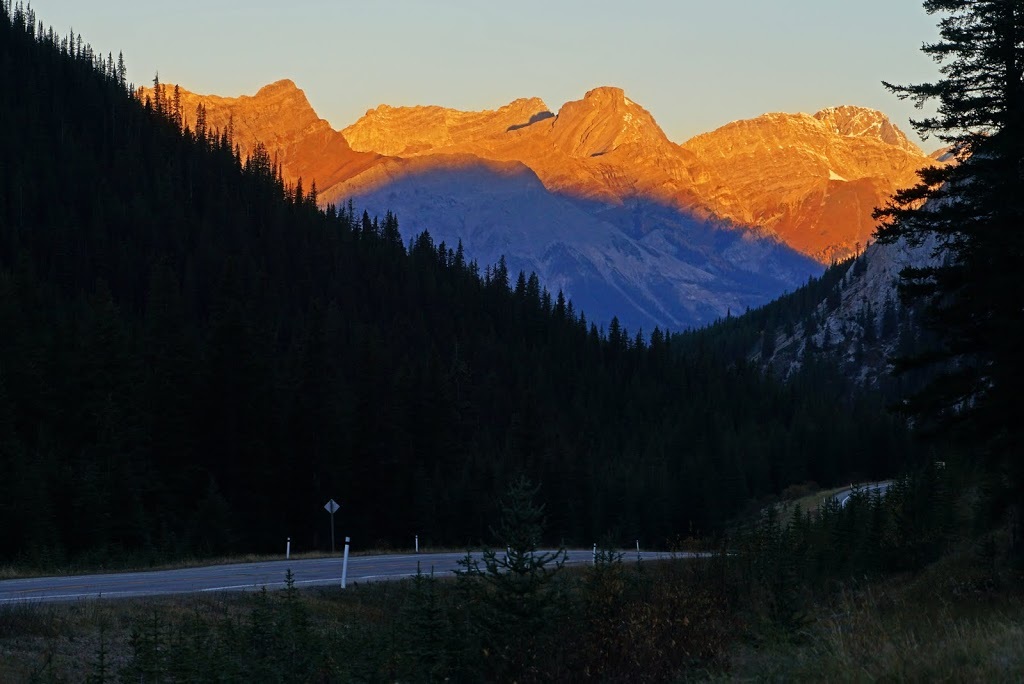
I considered making the trip to Tomestone Lakes a number of times since we arrived in Canada but the long trek in always had me doubting the value of the hike. There's no doubt that the approach is via a beautiful valley but as an 'out and back' hike I would be looking at that valley for an awfully long time in each direction, so I finally decided to make it a bike/hike and set off from home long before sunset. As I travelled highway 40 in the dark a huge grizzly scurried across in the headlights and I stopped to peer into the darkness after it but all I could see was a large dark blob disappearing into the forest, I was still lifted by sighting another of these wonderful creatures, albeit fleetingly.
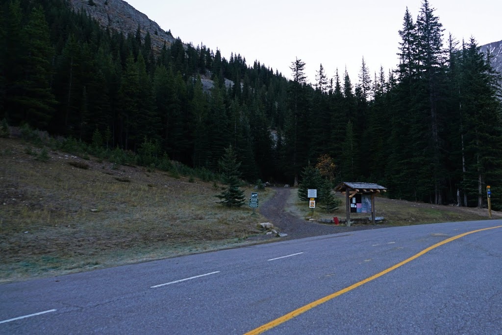
The trailhead begins at the Elbow Lakes car park on highway 40, 75km south of the TransCanada Highway. As I arrived an overnight ground frost was maintaining the temperature just below 0 but back along the highway the sun was beginning peek over the mountains.
There is only one trailhead at the Elbow Lakes car park and it's unmissable, from the kiosk it enters trees almost immediately and sets into a very steep ascent between the southern slopes of Elpoca Mountain and the Northern slopes of Mt Rae.
I didn't even contemplate getting on the bike up that initial grind which is around 1.5km of continual ascent. It does help warm me up pretty quickly but is a bit of a shock to the system straight out of the truck. I arrived at Elbow Lake before the light and this normally beautiful location lacked it's usual punch as a result.

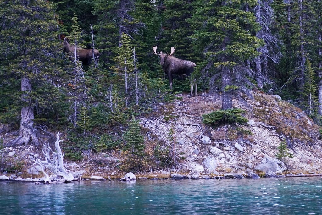
As I rode around to the north end of the lake I had to stop and grab a shot of this pair of moose who were wandering the shoreline staying just in the cover of the forest.
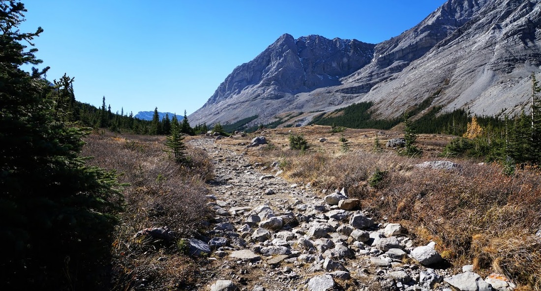
From the northern end of Elbow Lake a wide rocky trail leads through the valley as yet untouched by the morning sun. The path is mostly level in the early stages and (with the exception of culverts washed out by melt water) is easy going on the bike.
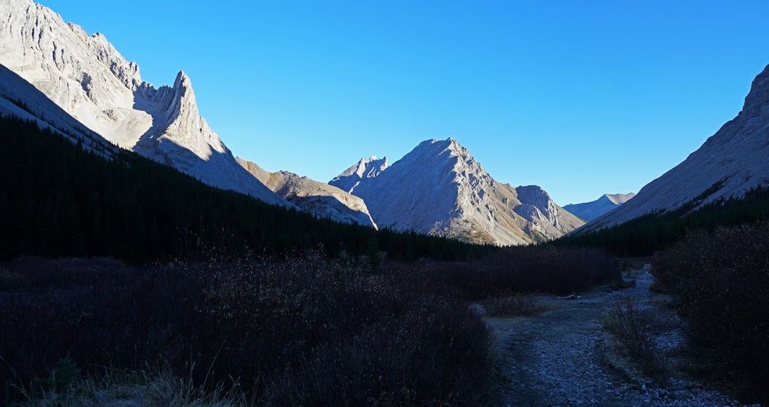
The trail soon deteriorates into a boulder strewn bouncefest but I rattle along breaking the stillness of the morning with various clattering and clanking sounds. Finally after almost 6km I'm passing the eastern end of Elpoca Mountain where Piper Pass sits tucked between it and Tombstone Mountain, my target for the day lies to the right of shot and over the other side of Tombstone.
A little further along and I meet a party of school kids with their 'guide' and stop to say hi. They have been to Tombstone campground (where I'll be leaving my bike) They are in radio contact with another group but can't identify where they are (troubling considering she is a 'guide') It's a simple enough 'follow the trial' walk out but I'm surprised by the lack of geographical knowledge, I tell her exactly where she is and she relays the information to the next group as I say my goodbyes and ride on.
After another couple of km's I meet the other kids group and stop to talk to them, they are all full of beans and chattering away about sleeping out in bear country. It's quite impressive to see them all hauling backpacks with smiles on their faces. I leave them to continue my day and get only a short distance when I find a shiny new radio in the middle of the trail. It's set to channel 8 so I leave it as set and attempt to communicate, I get through to the first group but nothing from the second. I dropped all my stuff at the trail side and turned the bike around and went after them, sure enough it was their radio for communicating with group 1.
After the relieved thanks from the guide who was now suffering some good natured ribbing from the kids I turn back around and return to my gear before reaching a high point overlooking Tombstone campground.
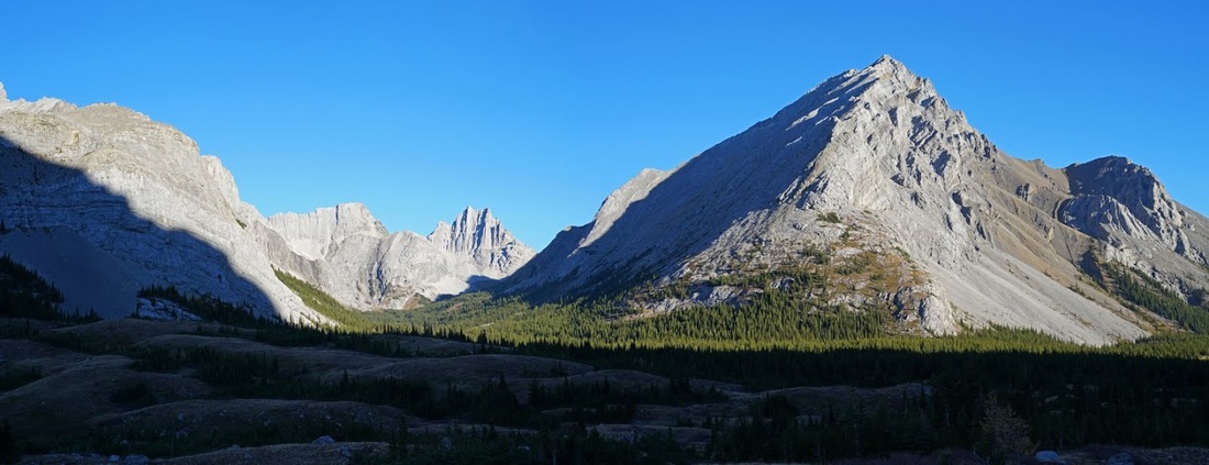
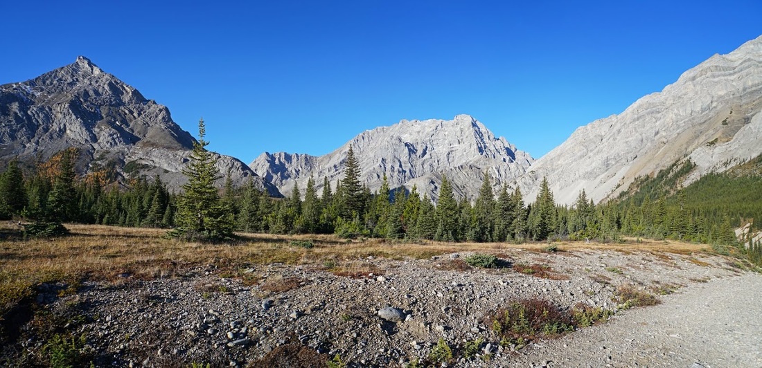
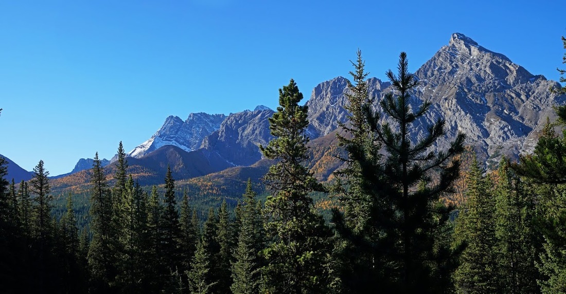
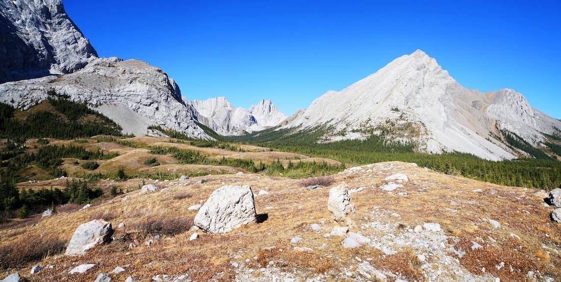
A left turn at the overlook is needed to follow the trail as it twists down a steep embankment turning back on itself before opening out onto the valley floor of 'Desolation Flat'. At the top of the ridge a view back shows the northern end of Mt Rae (right of shot) Elpoca Mountain (centre) and the southern flank of Tombstone Mountain reaching in from the right.
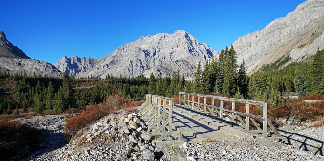
Crossing the river in desolation flat is made easy with the provision of a good bridge though with current water levels it may not have been needed
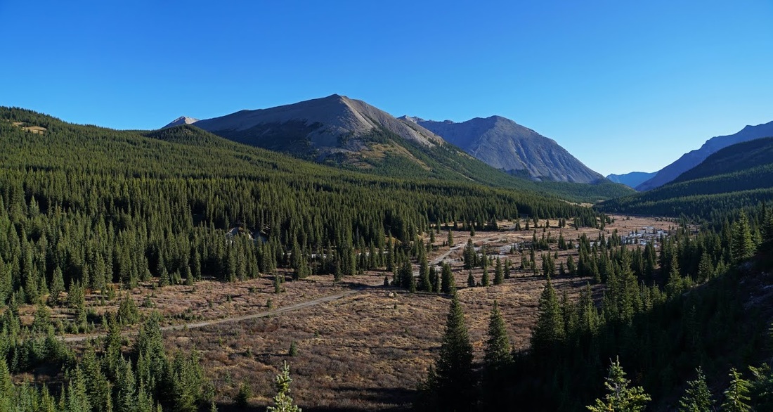
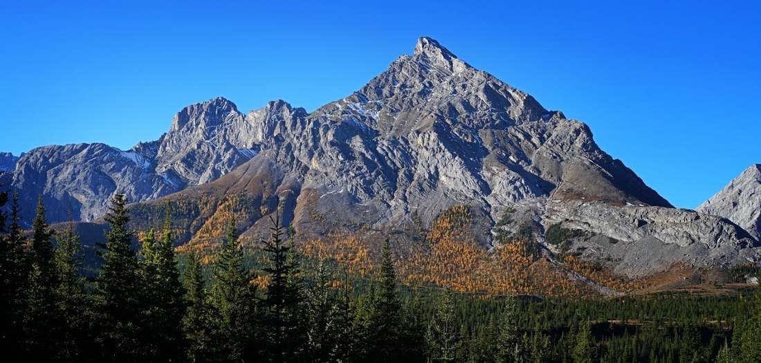
As I reach Tombstone campground I continue through the grounds and along the main trail which rises and provides a view back to the north end of Mt Rae which is wearing a skirt of golden larch trees bathed in the morning sun.
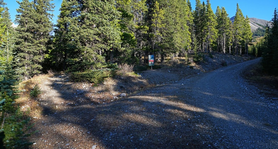
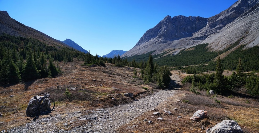
Very soon after the campground at the top of a small rise the trail splits, this is where I stash my bike in the forest and continue on foot. The main trail to the left is the one required to reach Tombstone Lakes.
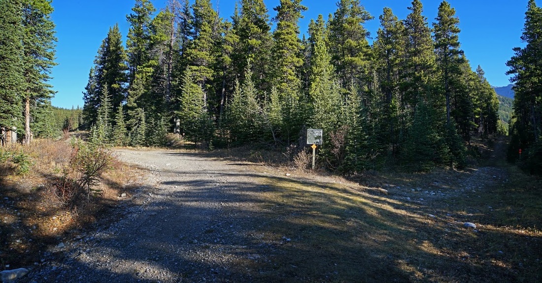
Soon after stashing my bike and ascending further on the main trial I reach the turning for the lakes. There is another sign on the edge of the forest where I now leave the main trail and take the narrower hiking trail to the left (no bikes allowed beyond this point)
As the narrower trail winds its way up through the forest views open up giving an occasional glimpse of autumn over the forest canopy
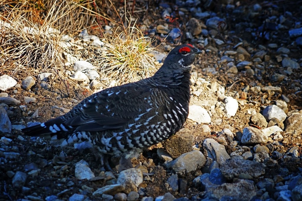
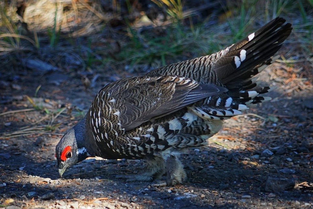
Much of the trail to the lake is heavily forested and enclosed reducing photo opportunities along the 3km stretch. I did see this ptarmigan preparing his winter coat, white feathers now showing through and that striking red eyebrow being the most noticeable of his winter adaptations.
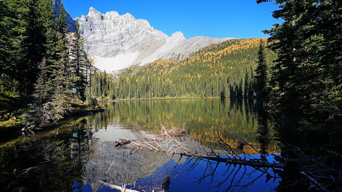
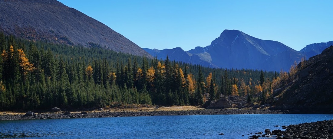
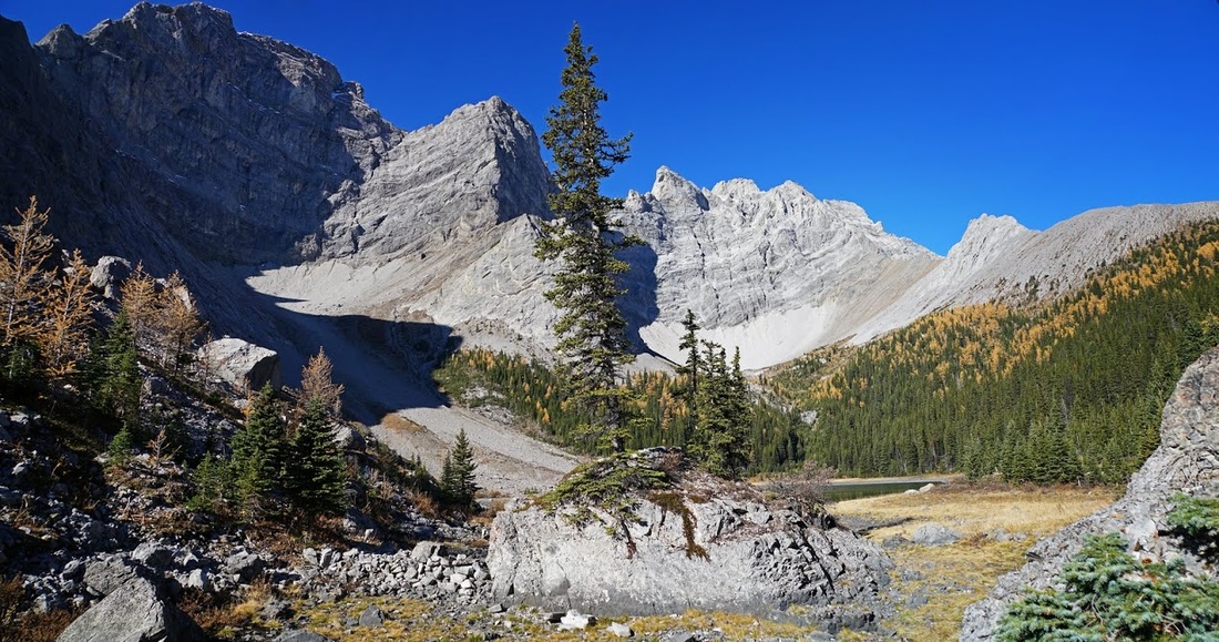
The trial looks to have seen many feet over time and toward the top there is a stretch of about 1km that would be a mudfest if not for the frost holding it firm this morning. The trail leads directly to the lower lake where the first sighting exceeds my expectations by some margin.
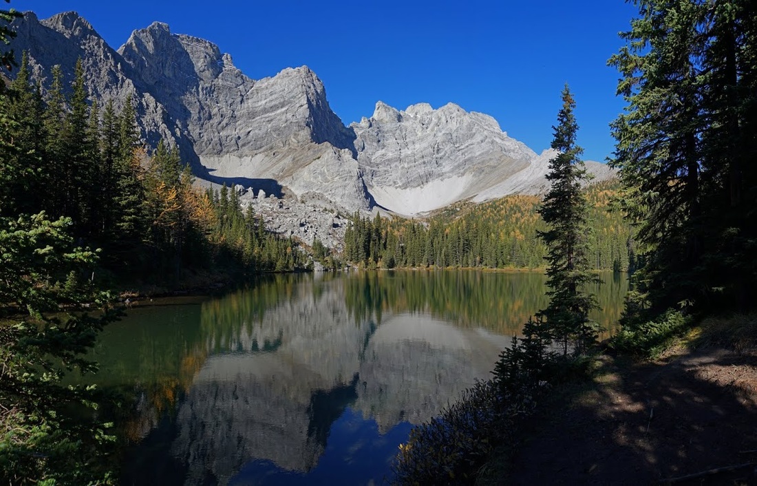
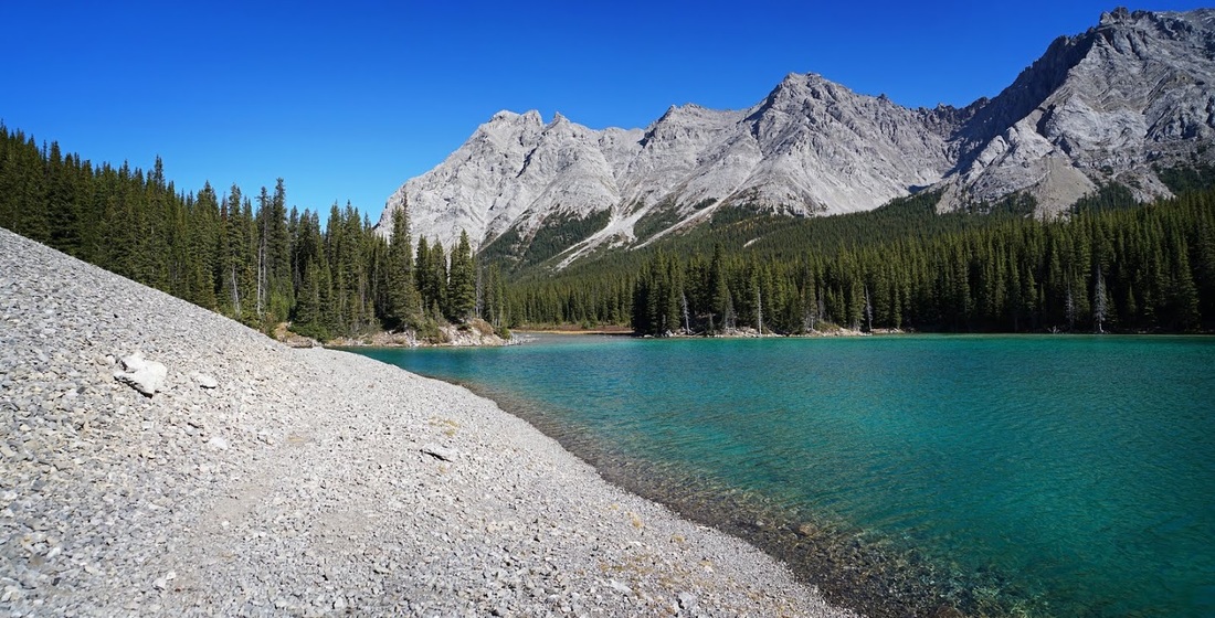
It is an idyllic location and I'm grateful that the ripples at the far end of the lake stay up there allowing a perfect reflection of the mountain in the emerald green water
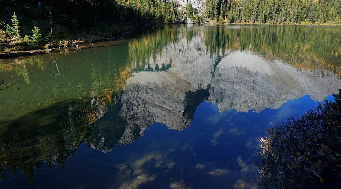
I first walked to the eastern most end of the lower lake to take in the full view along it's length. The blue box on the left is a recording station for fishermen to note their catches, this allows accurate restocking of the lake in springtime.
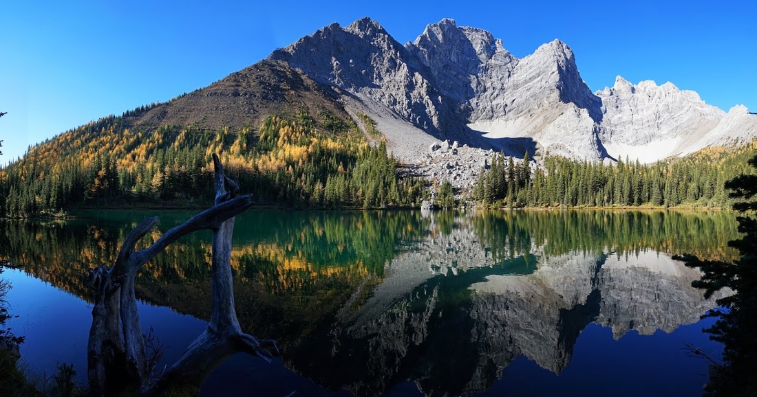
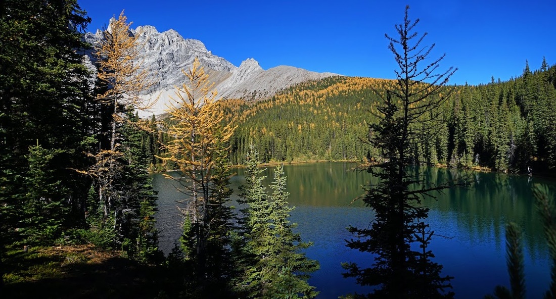
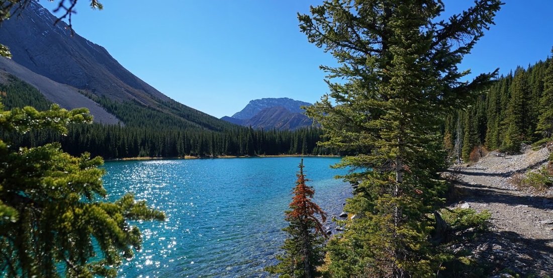
After taking in the scene for a while I set out along the north bank of the lower lake deciding to make a circuit around both lakes in an anti clockwise direction. The reflection of the larch trees opposite cry out to be photographed again and again.
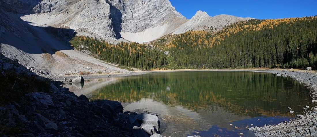
On reaching the end of the lower lake I plough upward through trees with a little light bushwhacking to reach the upper lake which has very low water levels but still catches the eye.
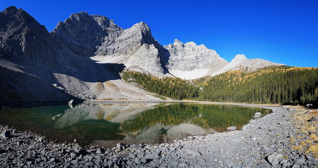
The low water levels make circumnavigation of the upper lake easy and from the western shore I can see over the connecting ridge to an outlier on Outlaw Peak
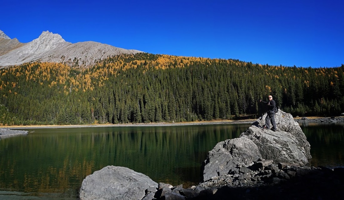
With no summit for the usual 'evidence shot' I take to a loose boulder on the southern shore of the upper lake with a backdrop of larch trees banded across the ridge behind.
A last look over the upper lake from the eastern shore, I'd contemplated ascending the larch covered ridge to get an overview but I wasn't entirely sure it would be worth the effort.
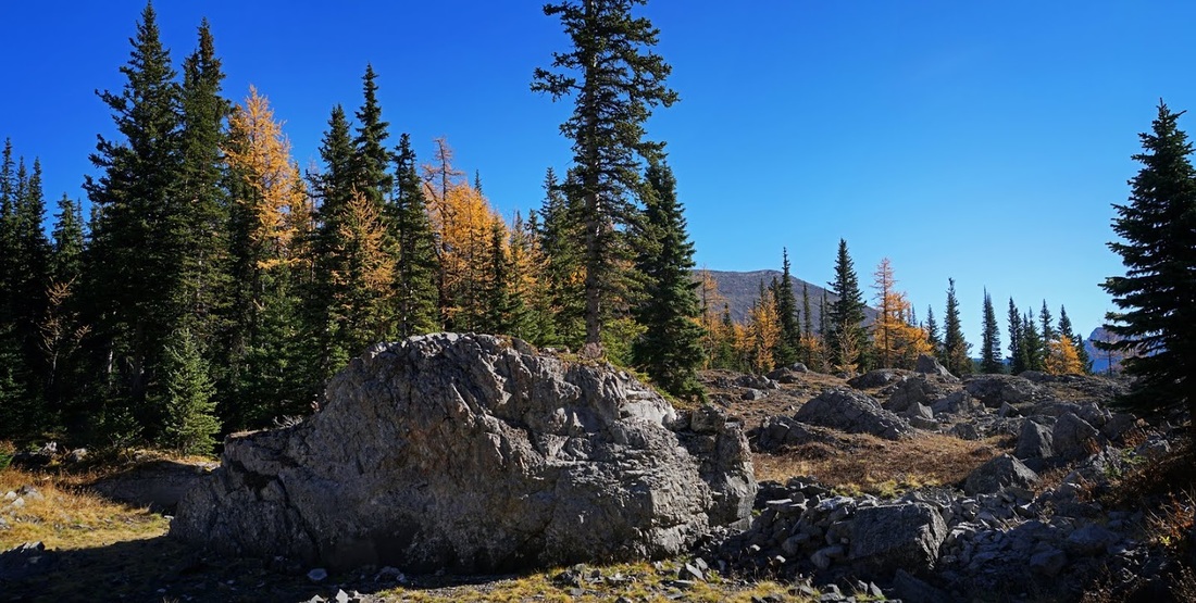
The route back to the lower lake from this side was more open and required no bushwhacking at all, just a steady ramble through a boulder strewn space bathed in warm autumnal sunshine.
As I crossed the boulder slope I stopped to watch a small avalanche of rocks pouring down the face of Tombstone mountain making much more sound than their size would suggest.
I made my way back around the southern side of the lower lake where a small trail picked its way through the trees. The water was very deep at this side and a few fish had begun topping here and there as the sun hit the water.
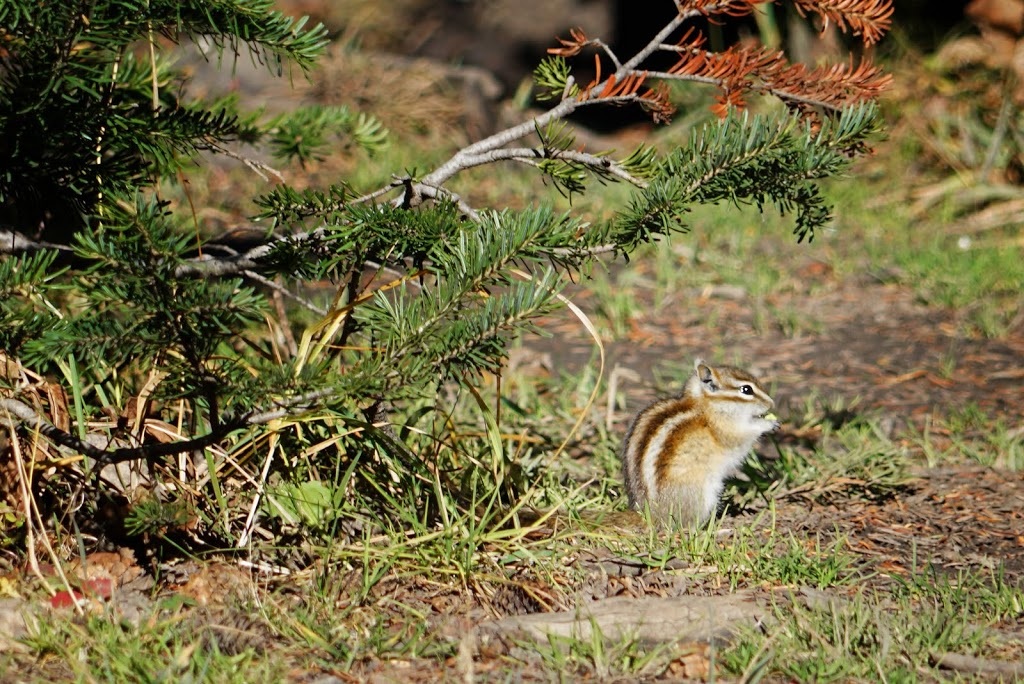
I stopped for a snack at the point where I'd first seen the lower lake and wasn't there long when a tiny chipmunk made his way out of the trees looking for a little breakfast. It's hard to imagine how they make it through a Canadian winter way up in the mountains.
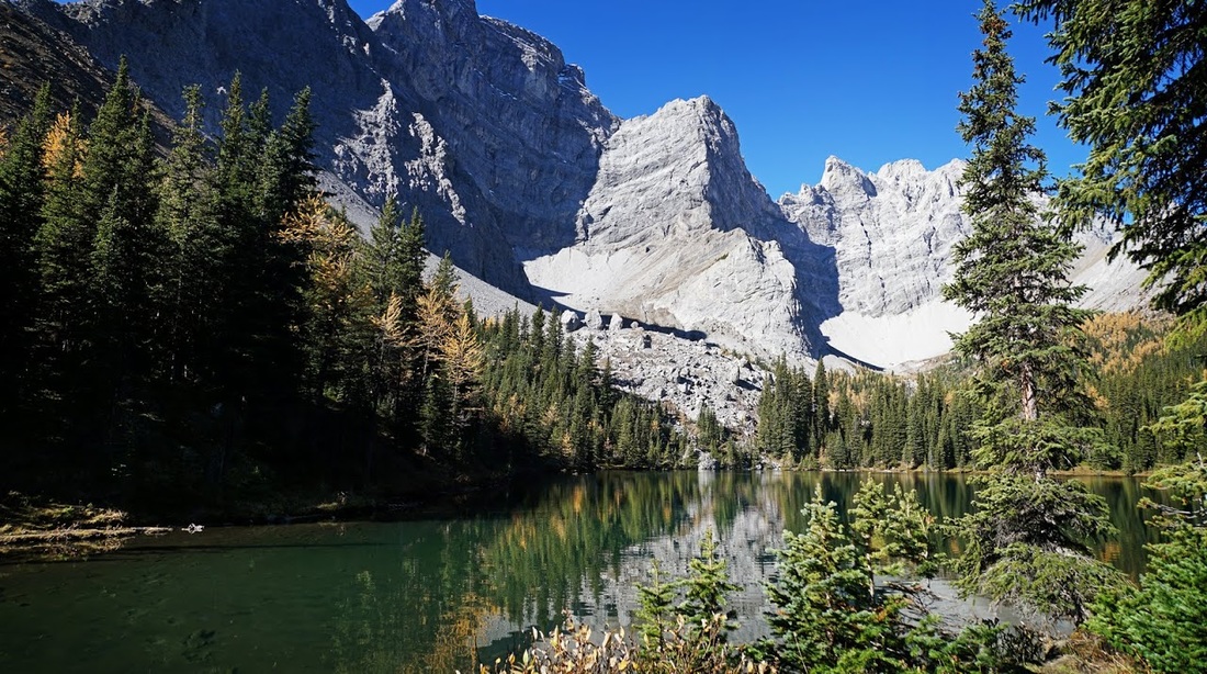
I decided to have my lunch down in the campground where picnic tables are sited so I took a last look over the beautiful scene before setting out back along the trail.
I was surprised to see the ptarmigan still pecking up bits along the trail as I descended, in this light I could get a good view of his feathery ski boots which are almost winter ready.
As I collect my bike and reach the campground I can hear voices and see vehicles here and there, the rangers are here closing down the site for winter. I decide I'll have lunch elsewhere and I'm soon back on the boulder trail heading west where even full suspension on the bike doesn't stop my fillings rattling as I bounce my way back toward Piper Pass.
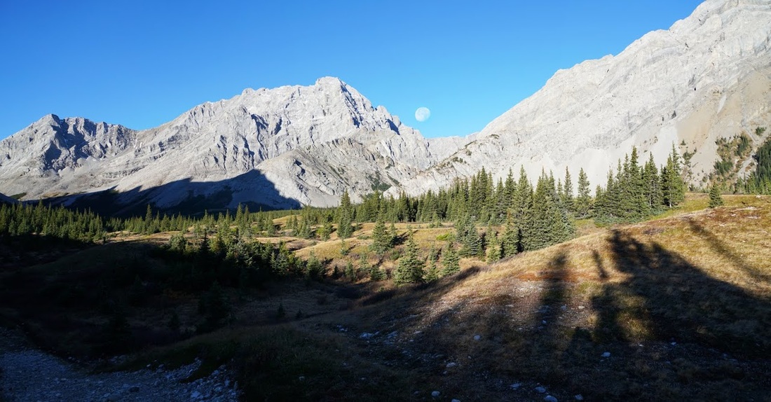
The sun can now reach through Piper Pass and illuminate the rounded 'waves' leading toward it. There is another hike up through here which I intend to make at some point but it's just another one on a list of many.
I stopped in a wide open space to have a drink and a snack but decided to keep going to Elbow Lake for lunch where good seating is available and the scenery is stunning.
Seeing the Rae glacier lets me know that I'm almost back at Elbow Lake. The huge mountain is named after the explorer John Rae and though the glacier is more of a glacial remnant now it still manages to feed water down into the elbow river year round.

Back at Elbow lake the sun now fills the valley and illuminates the beautiful colour of the water, looking north along the western shore I'm reminded of so many visits here with family and friends
To the west I can see the source of the constant noise that's echoing around the lake, a large group of pretty rowdy adults have taken over the camp site and picnic area, there goes another lunch spot, I decided to give up on lunch and ride back to the truck...downhill all the way.
So, I'd finally made the trek to Tombstone and could cross it off the ever growing list. I'm glad I took the bike as the route in through the valley might become a bit tedious on an 'out and back hike'. The trail is very rocky but a combination of biking and hiking gets through it in good time and the lakes themselves are well worth the trip, I would suggest saving it for autumn to get the best of it.