free to be able to rate and comment on reports (as well as access 1:25000 mapping).
SATURDAY 3rd,
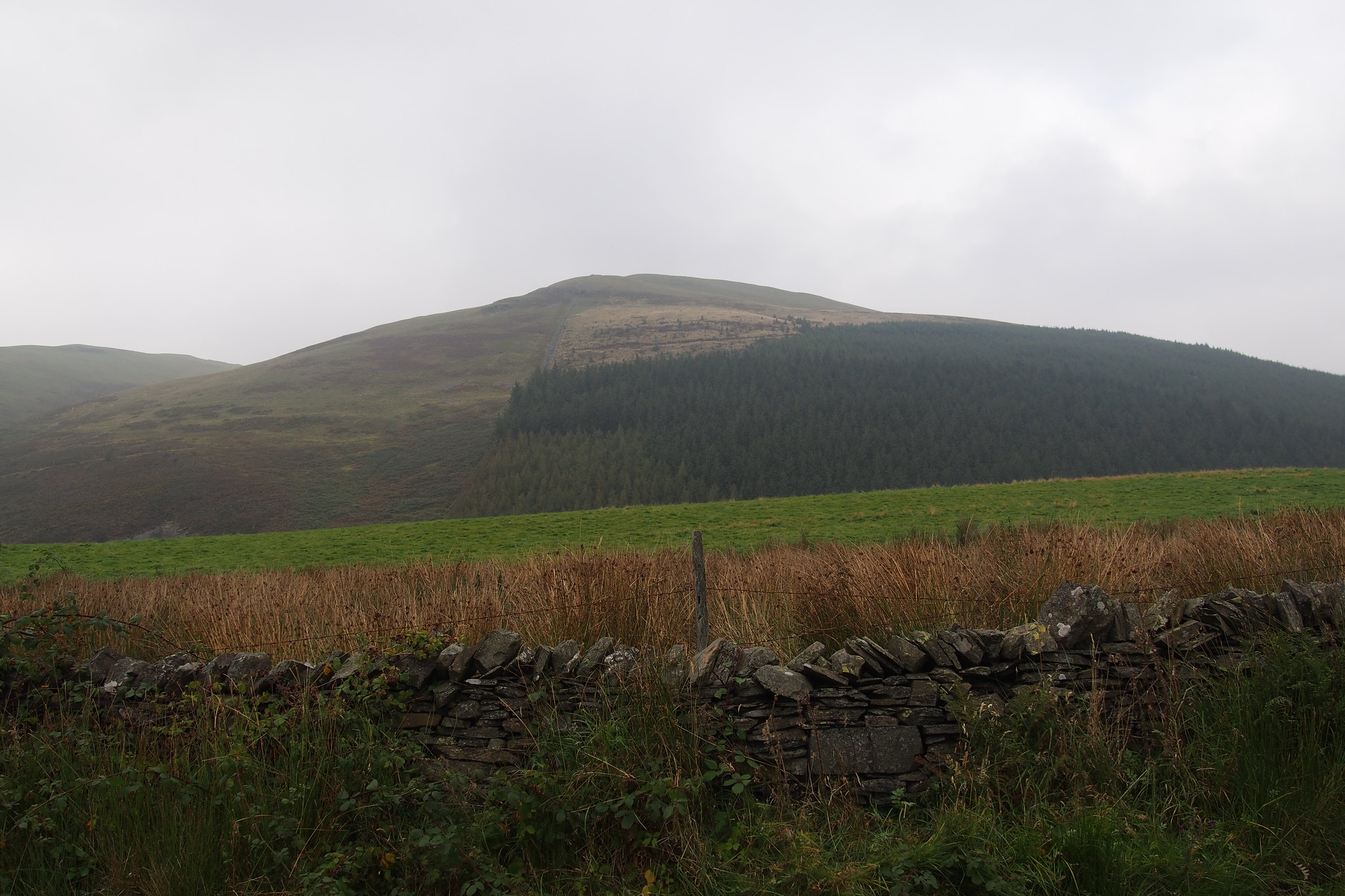
Whinlatter, Lords Seat, Barf, Broom Fell and Graystones.
13km.
842m Ascent.
5 hrs 15 mins.
The Northern Lake district is an ideal excuse for Denise and I to spend a weekend away from home every now and again and get out into the hills.
The Wainwrights give us the chance to visit new hills instead of going back to the usual well trodden landscape we've been used to in recent years.
There were a few hills in the northwest which were still to be climbed it was just a case of deciding which ones could be grouped together to make a good day out.
Looking at the map there was a group of five hills around Whinlatter which we'd not been in and doing a bit of research and reading reports on here decided to tackle Whinlatter, Lords Seat, Barf, Broom Fell and Graystones on Saturday and finish the hills above Keswick namely Lonscale Fell and Latrigg on Sunday.
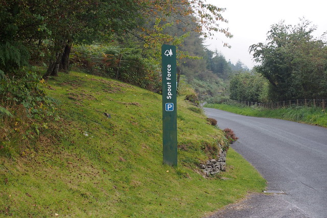
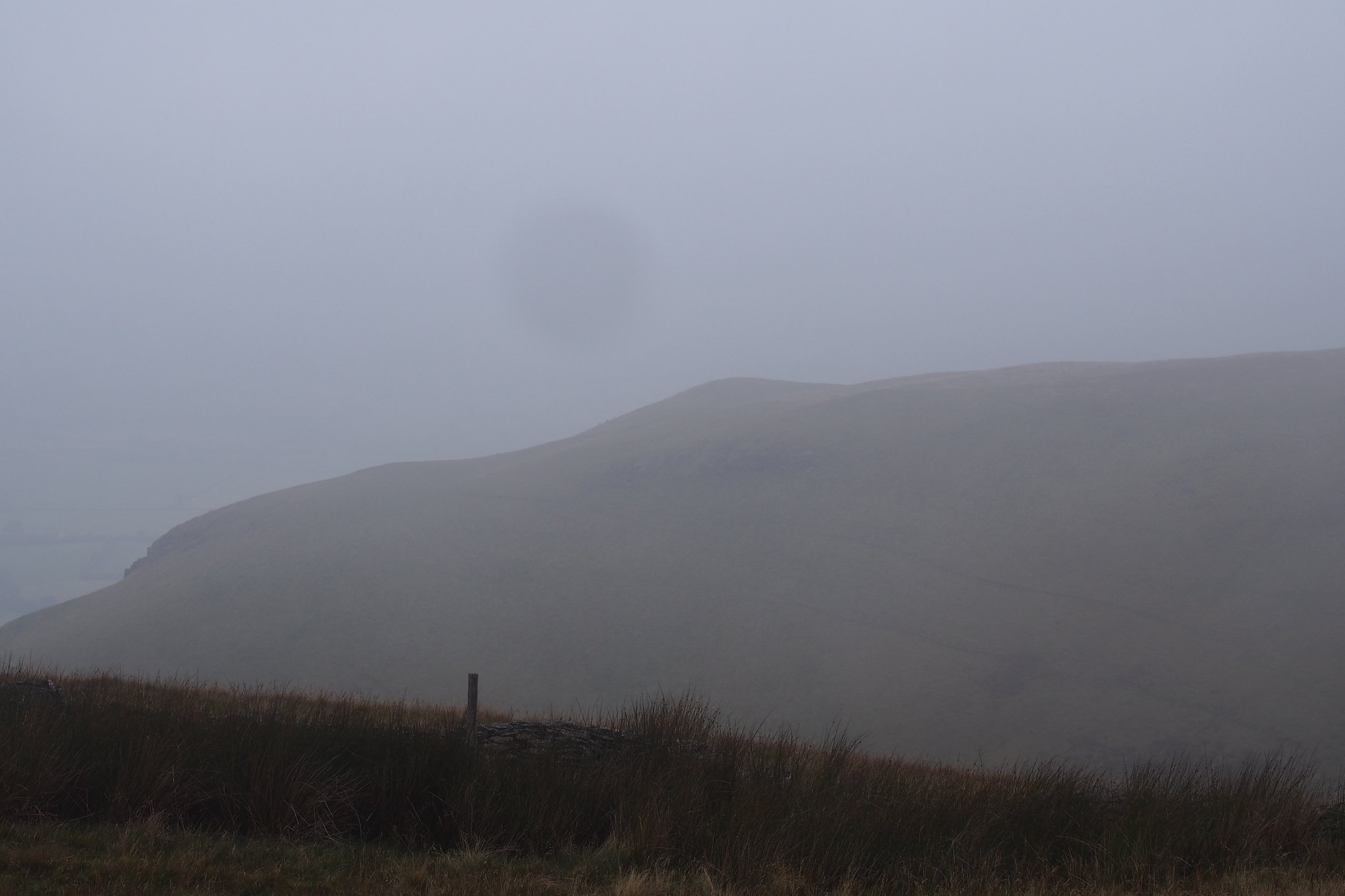
After the good weather the week before we were rather deflated when we woke upto thick fog on Saturday morning but it was warm and there was a chance it would lift, so off we set heading for the car park at Darling How farm.
 PA030146
 by
Martin Hawer, on Flickr. Entrance to the car park.
We set off walking at 9:45am with all the hills shrouded in mist and with it being warm and humid we just felt we'd not be blessed with views today but there was no hint of rain and no wind so we decided to take it as it comes and enjoy the day.
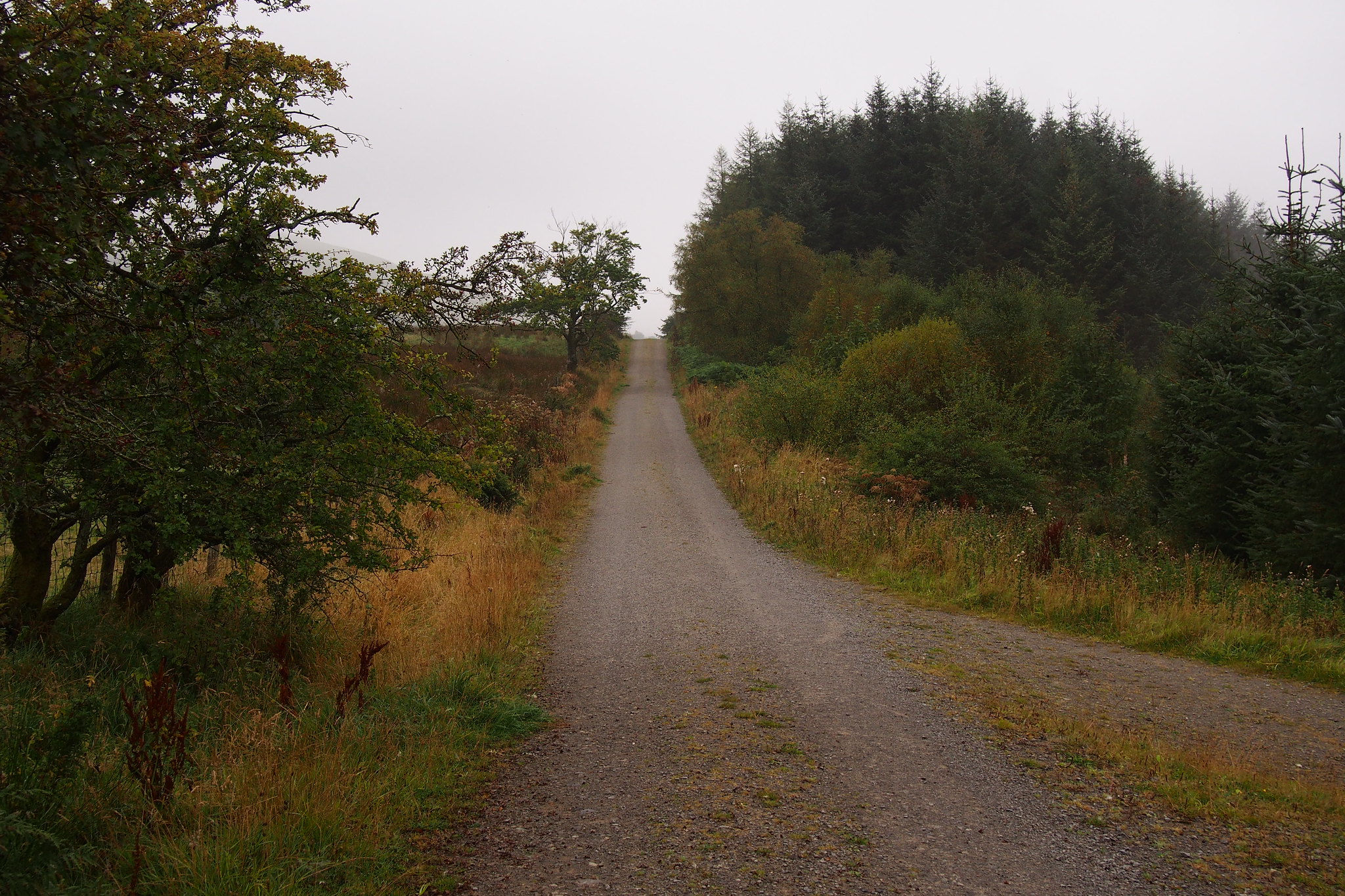
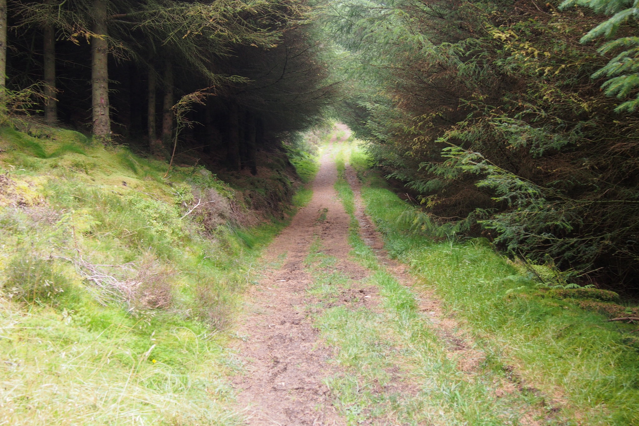
We headed past the farm on the track.
 PA030106
 by
Martin Hawer, on Flickr. The track is nice and easy, looking back.
 PA030108
 by
Martin Hawer, on Flickr. The way ahead.
 PA030109
 by
Martin Hawer, on Flickr. The lower slopes of Whinlatter, not very slopey!.
 PA030110
 by
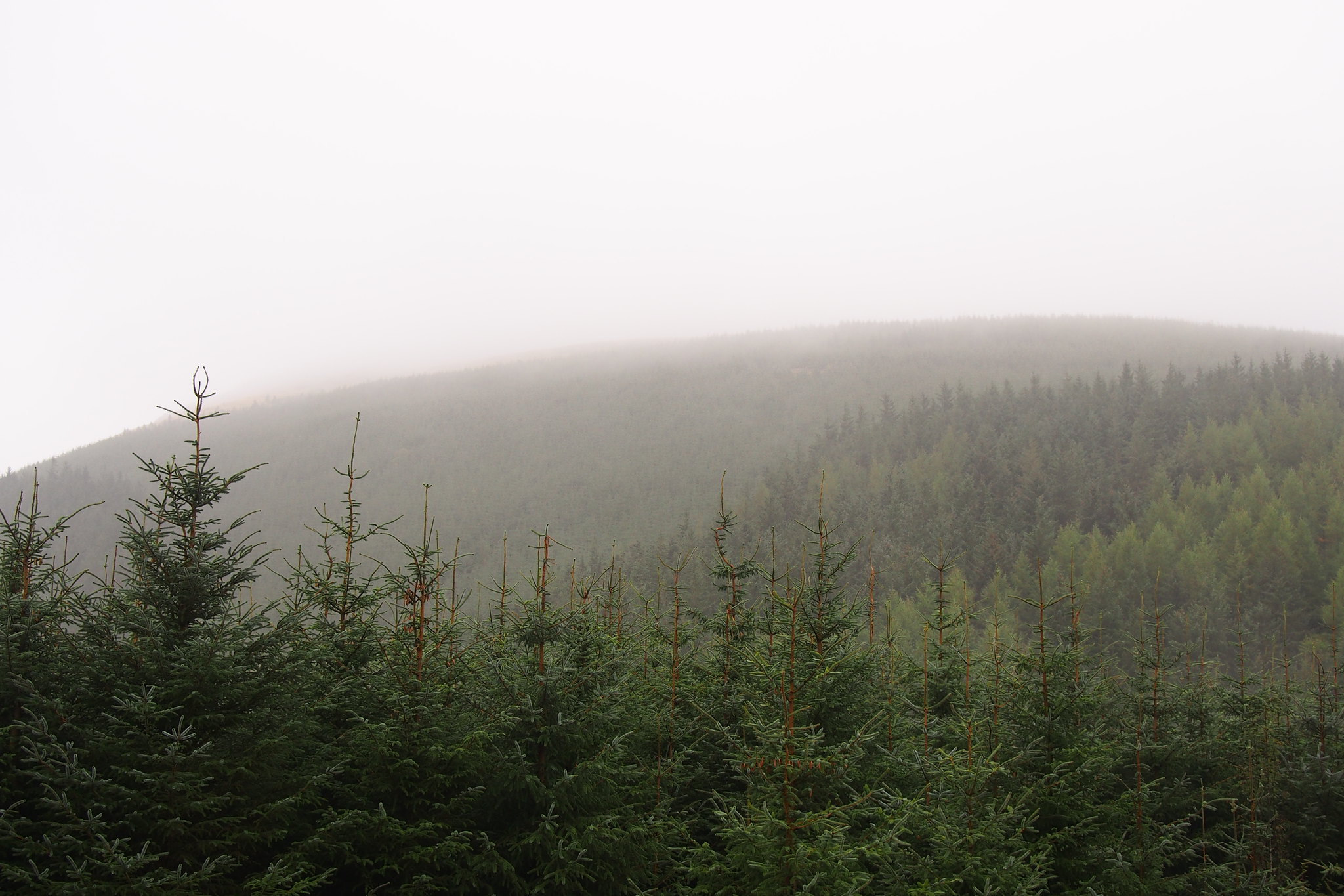
Martin Hawer, on Flickr. Mist rolling in.
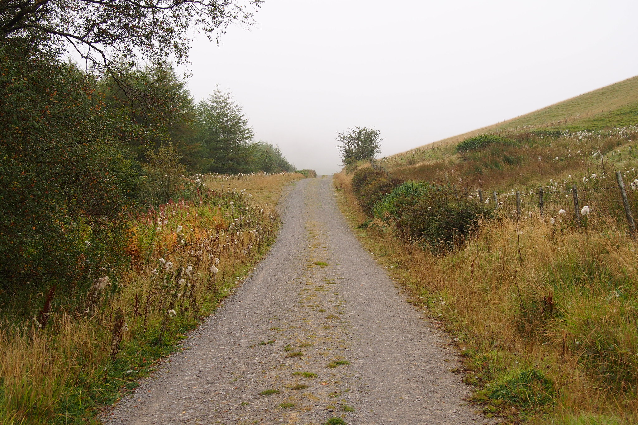
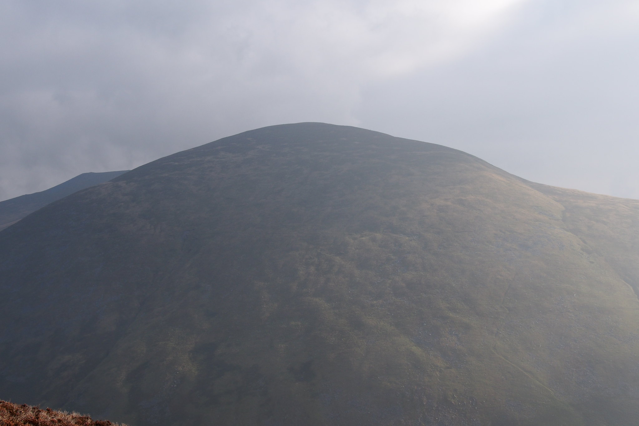
About 2 km later decided to go up Whinlatter direct which was steep, we chose a line through the young trees to get onto the wide ridge just below and to the right of the summit at around NY190254 It was a quick way up but tricky over buried stumps and the branches of felled trees. We walked into the mist towards the summit and found the path and soon the cairn on the top of Whinlatter.
 PA030111
 by
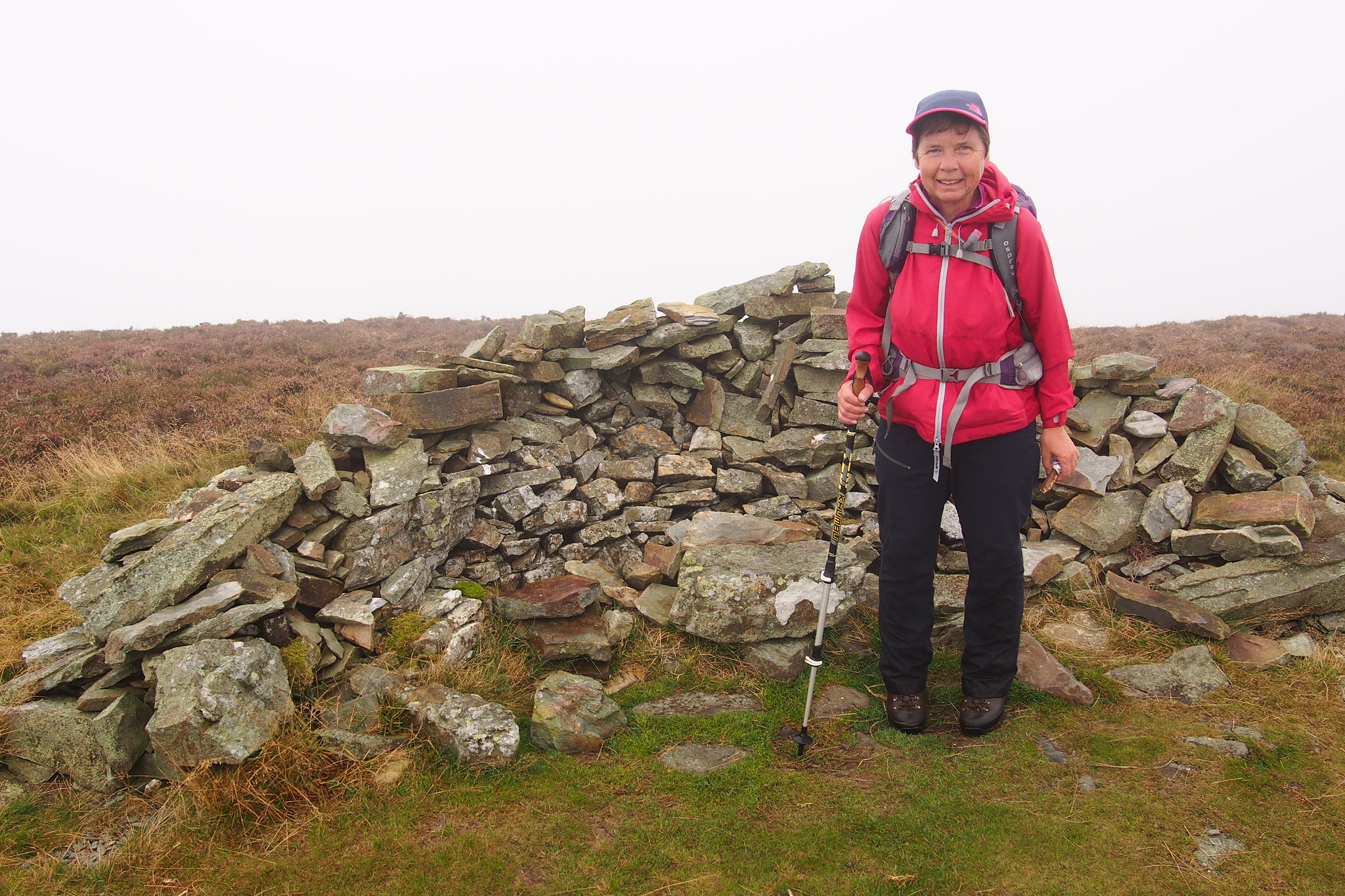
Martin Hawer, on Flickr. Whinlatter summit, the lower one of the two tops is the summit.
 PA030113
 by
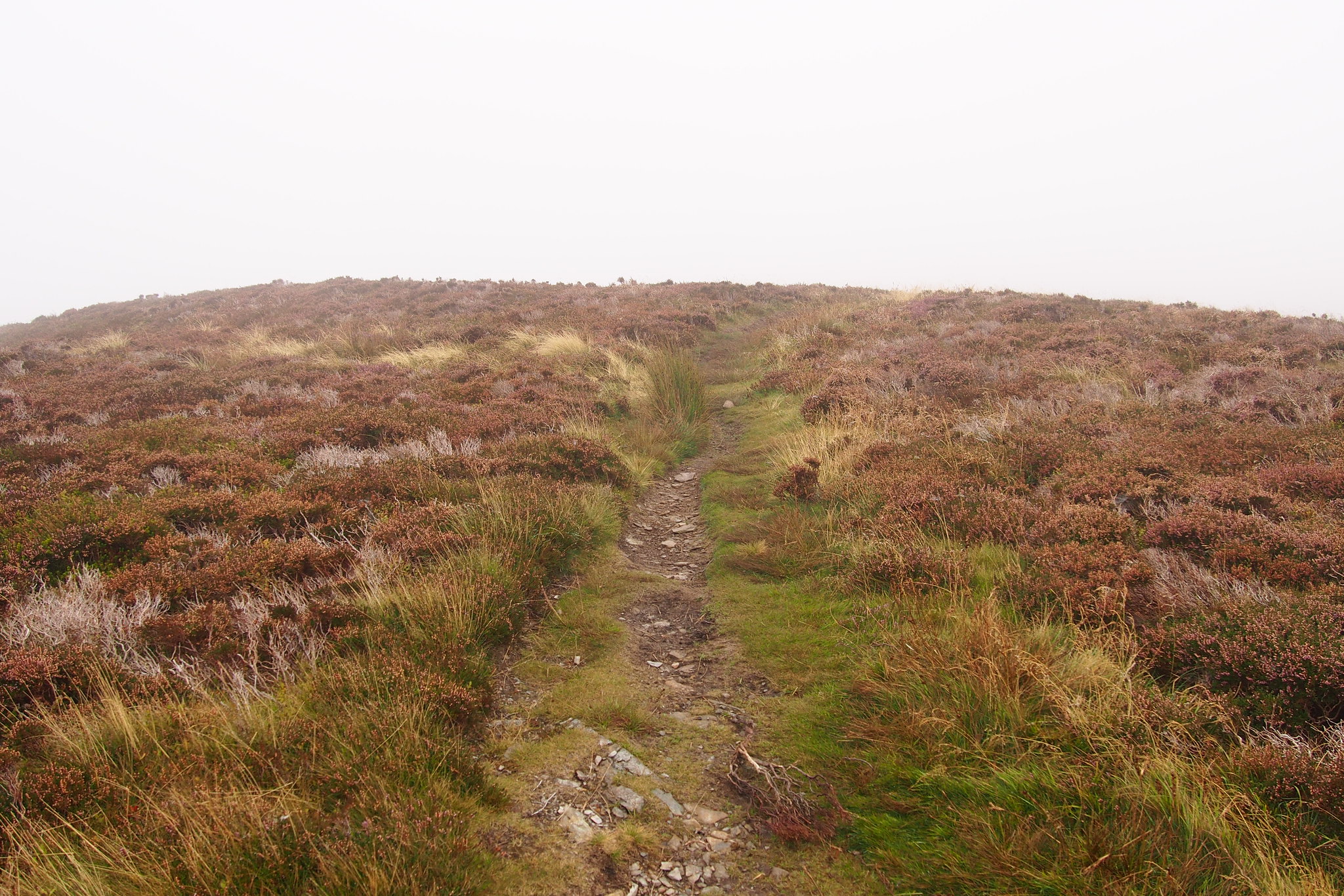
Martin Hawer, on Flickr. Its a good path from here leading to the next top.
 PA030116
 by
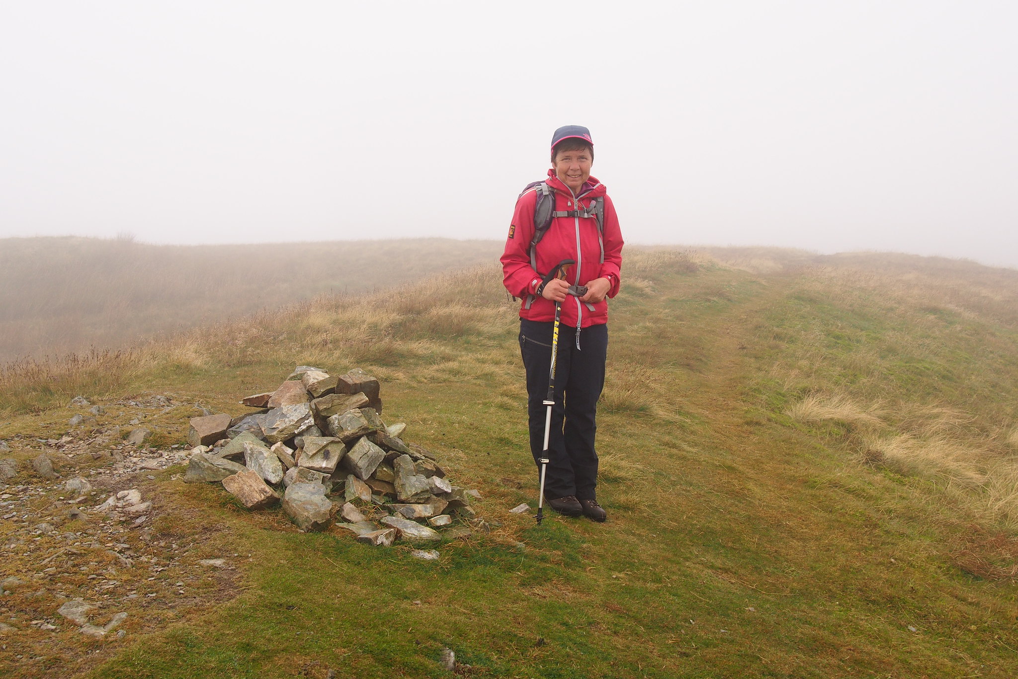
Martin Hawer, on Flickr. Here we are at the higher summit, strange that this isn't theWainwright.
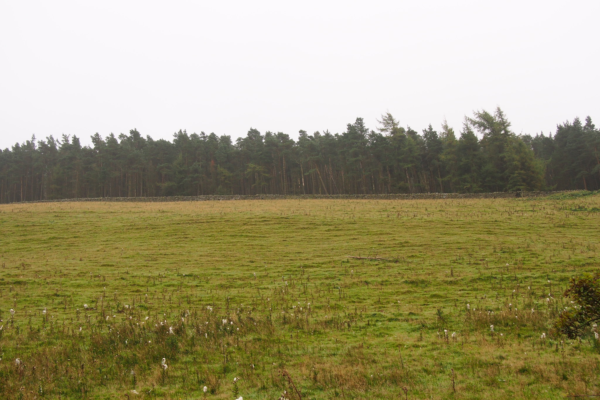
From the summit we followed the map and took the path heading to Tarbarrel moss and the path through the plantation.
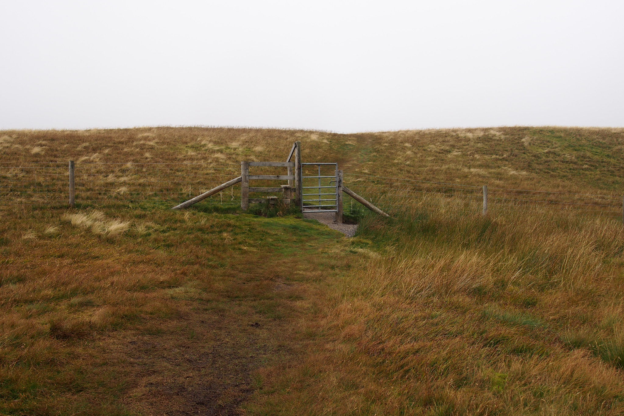
The path leads to a stile in the fence.
 PA030117
 by
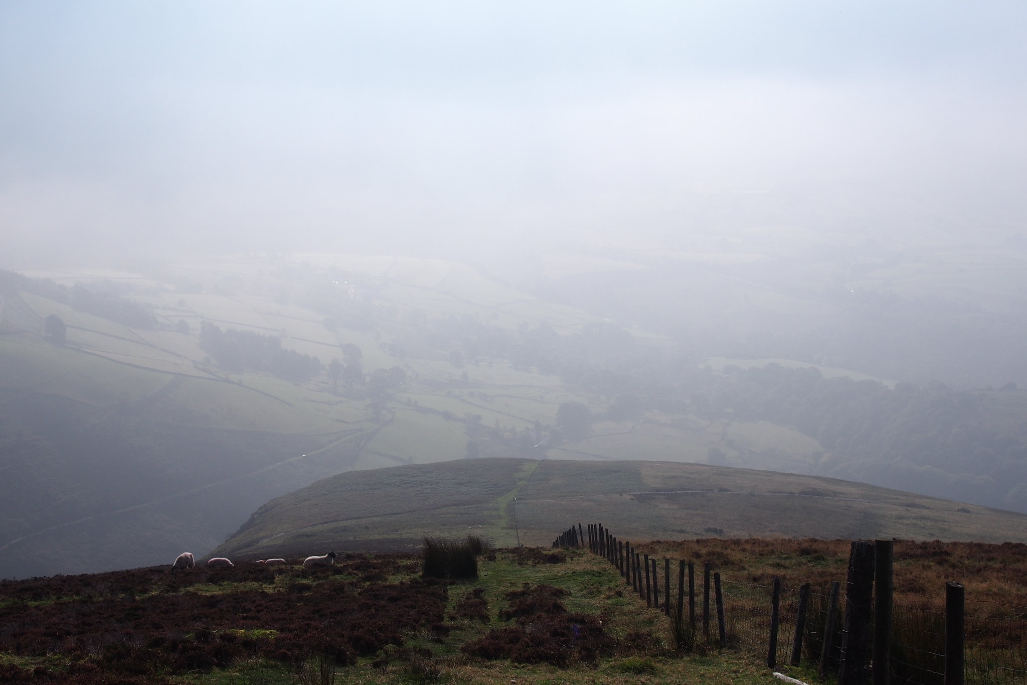
Martin Hawer, on Flickr. Stile over the fence around Tarbarrel Moss, it was quite wet underfoot here.
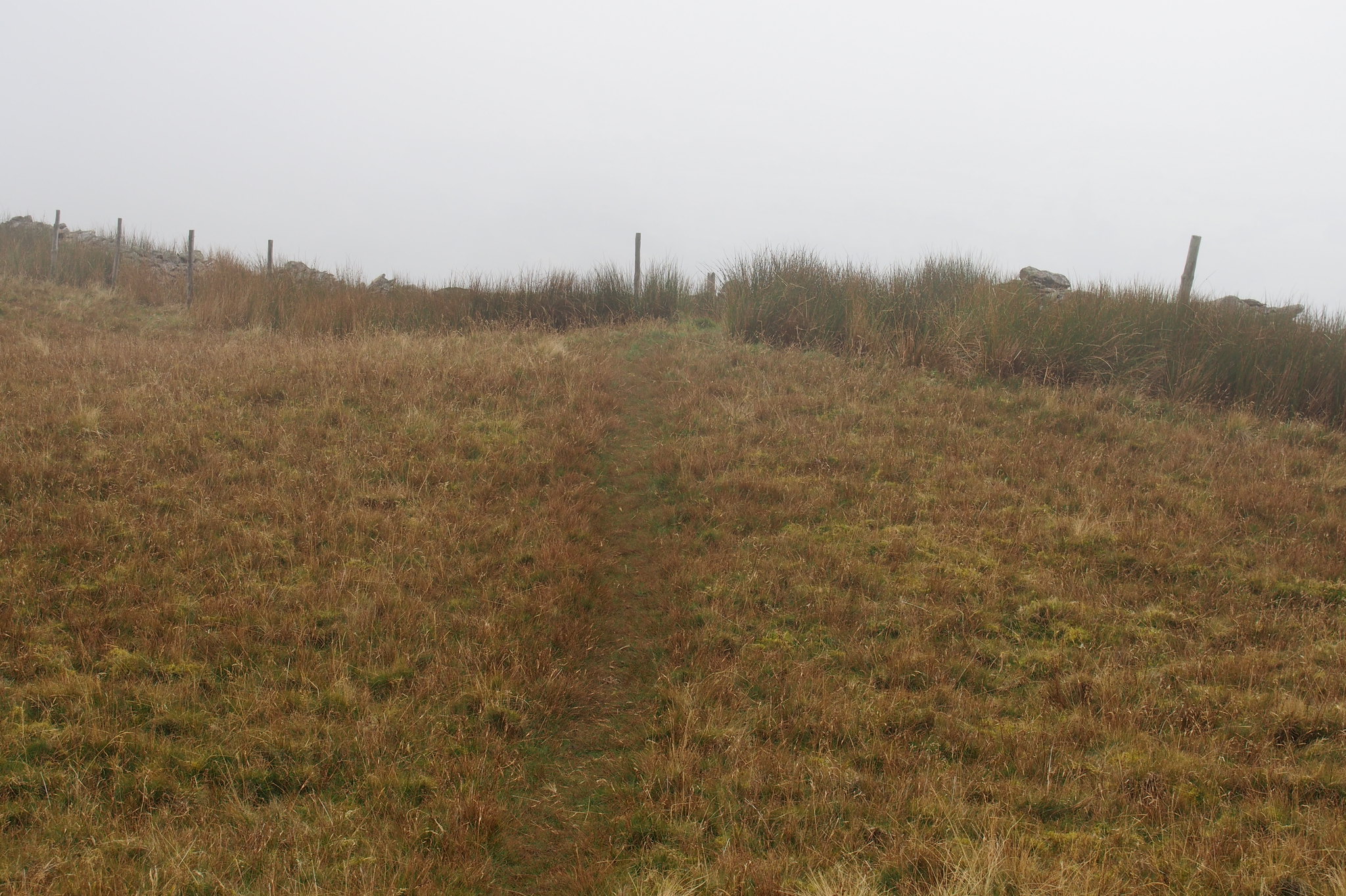
The path beyond this and through the trees is plain enough,
 PA030119
 by
Martin Hawer, on Flickr. Once over the stile this is the way to go.
and soon joins a forest track which leads to the path that takes you up Lords Seat.
 PA030120
 by
Martin Hawer, on Flickr. Up through the trees towards Lords Seat.
 PA030121
 by
Martin Hawer, on Flickr. Lords Seat.
As we were on our way up the cloud became thinner but not enough to see much. At the summit there was a check point for the Monster Cycle event I bet that's hard work.
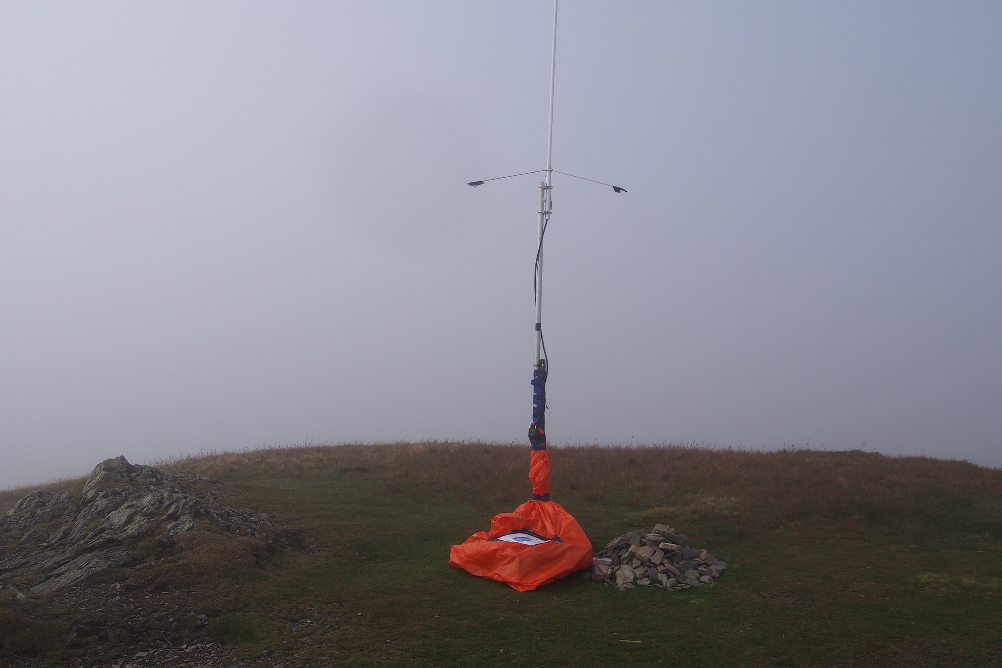 PA030122
 by
Martin Hawer, on Flickr.Monster checkpoint.
From Lords Seat we headed for Barf still in the mist.
 PA030123
 by
Martin Hawer, on Flickr. Barf Summit
At the summit we had our lunch and met the first people we'd seen up to that point.
 PA030124
 by
Martin Hawer, on Flickr.Lunch time views.
 PA030125
 by
Martin Hawer, on Flickr.
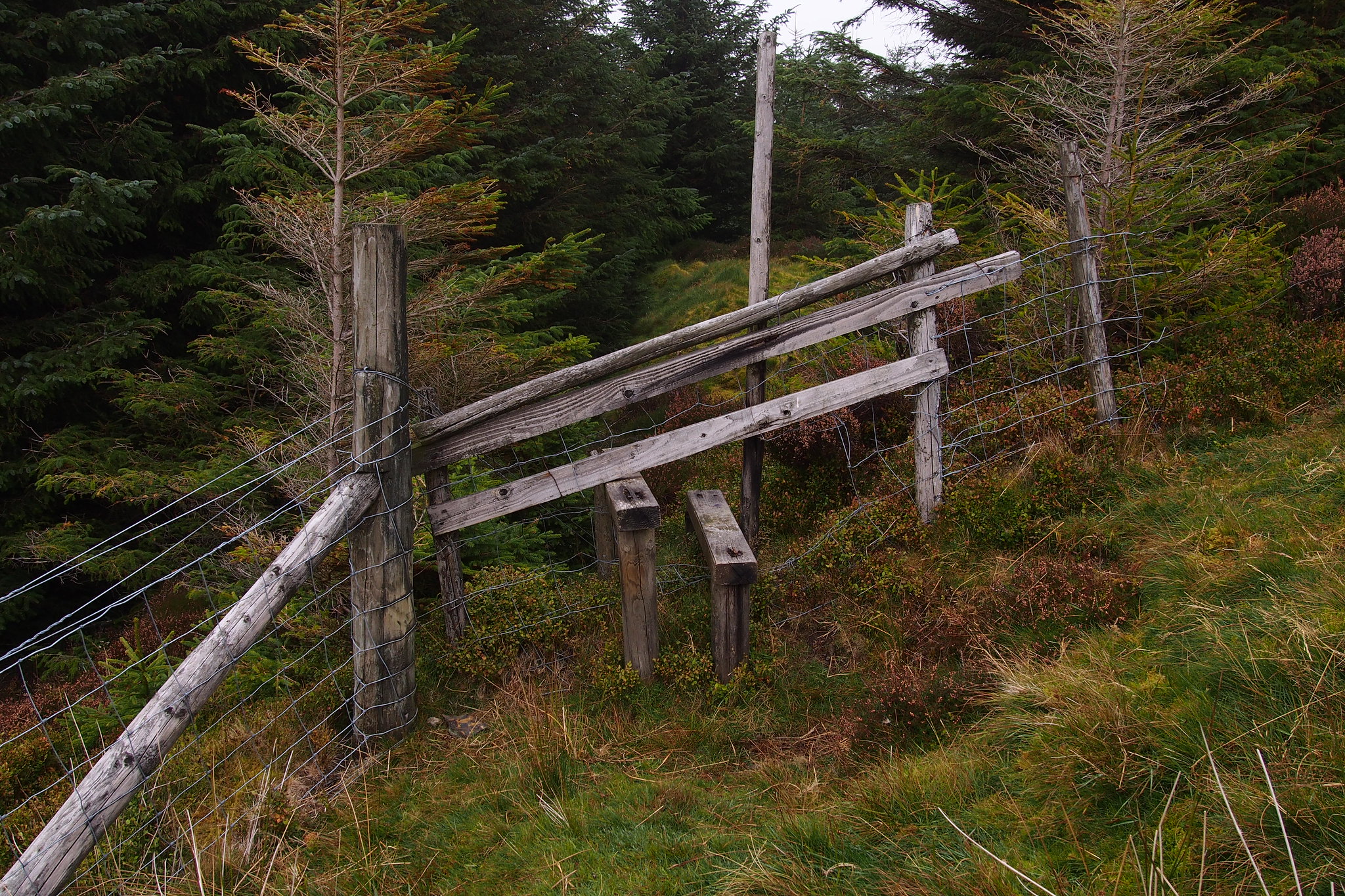
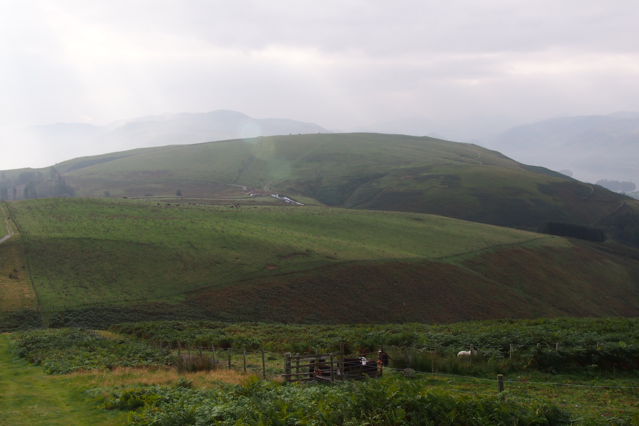
After lunch we went back to Lords Seat then headed to Broom Fell. About halfway over there's a fence with a decent stile in it which is not marked on the map but must have been there for a while because it all looked well established.
 PA030127
 by
Martin Hawer, on Flickr. Unmarked fence and stile.
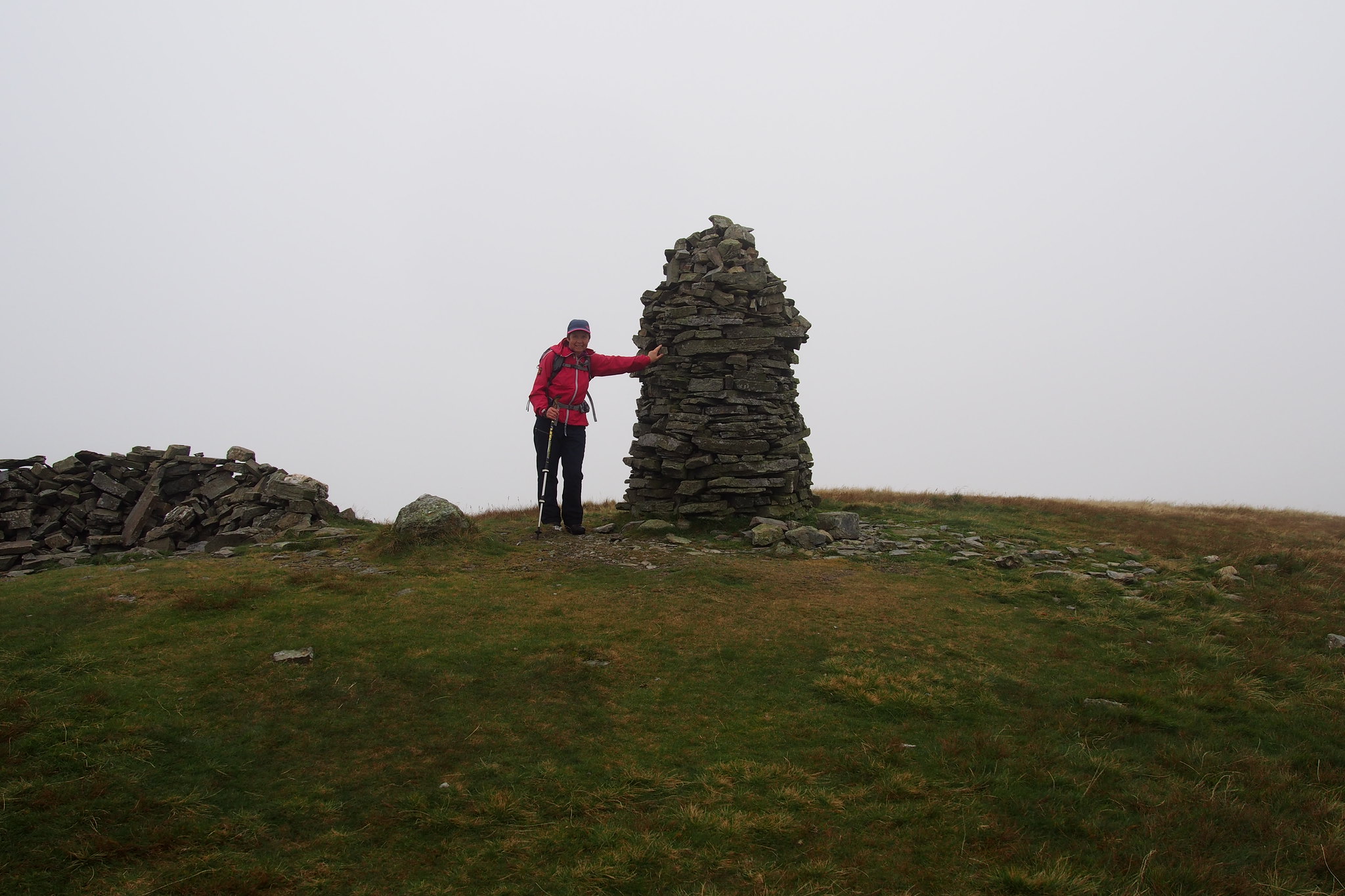
There's a massive cairn on Broom Fell just by an old wall and fence which is on the map.
 PA030128
 by
Martin Hawer, on Flickr.Broom Fell summit, quite a majestic cairn.
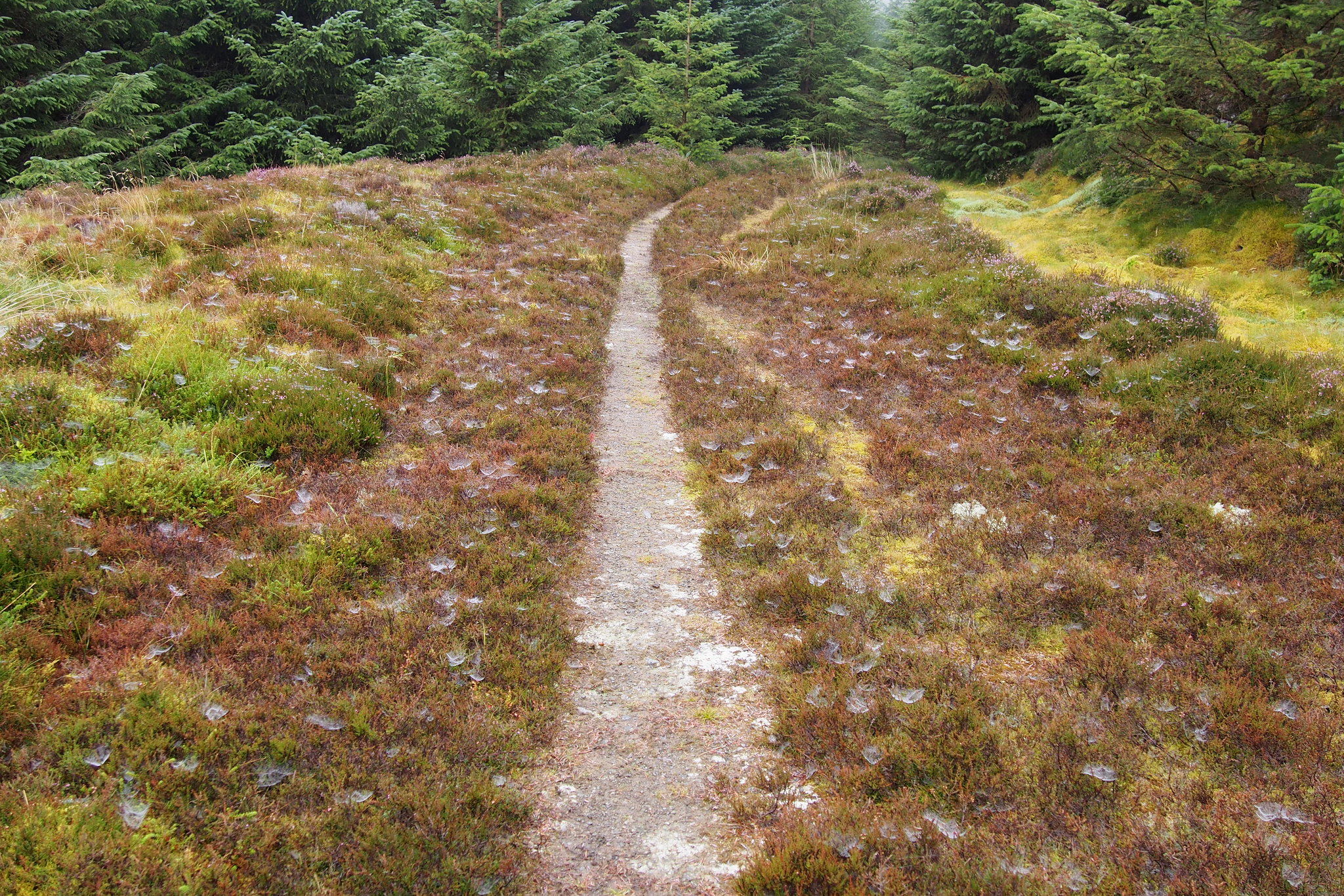
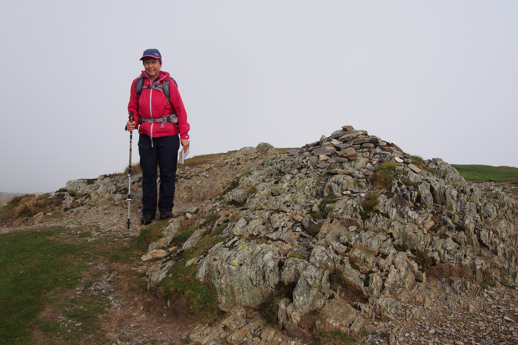
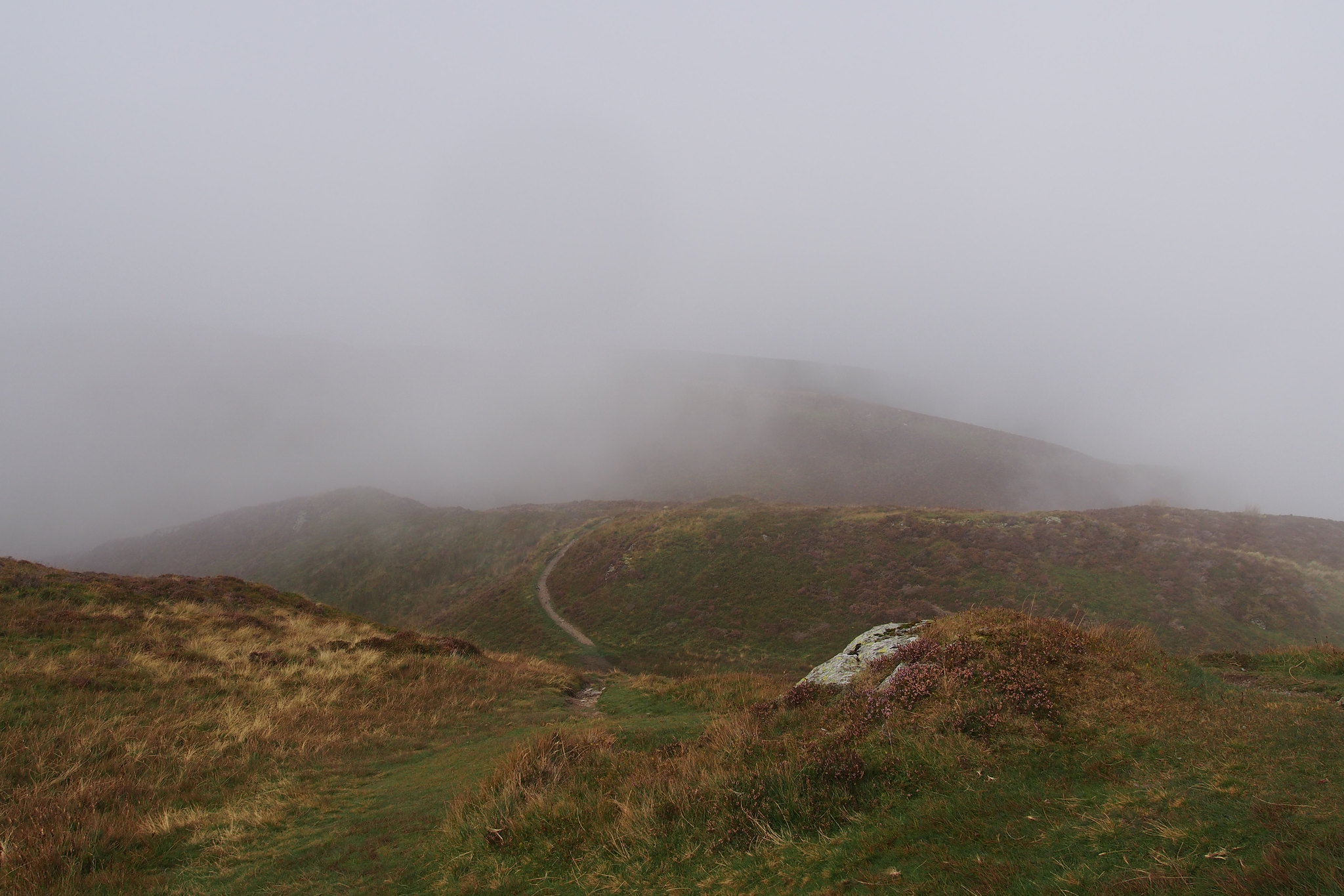
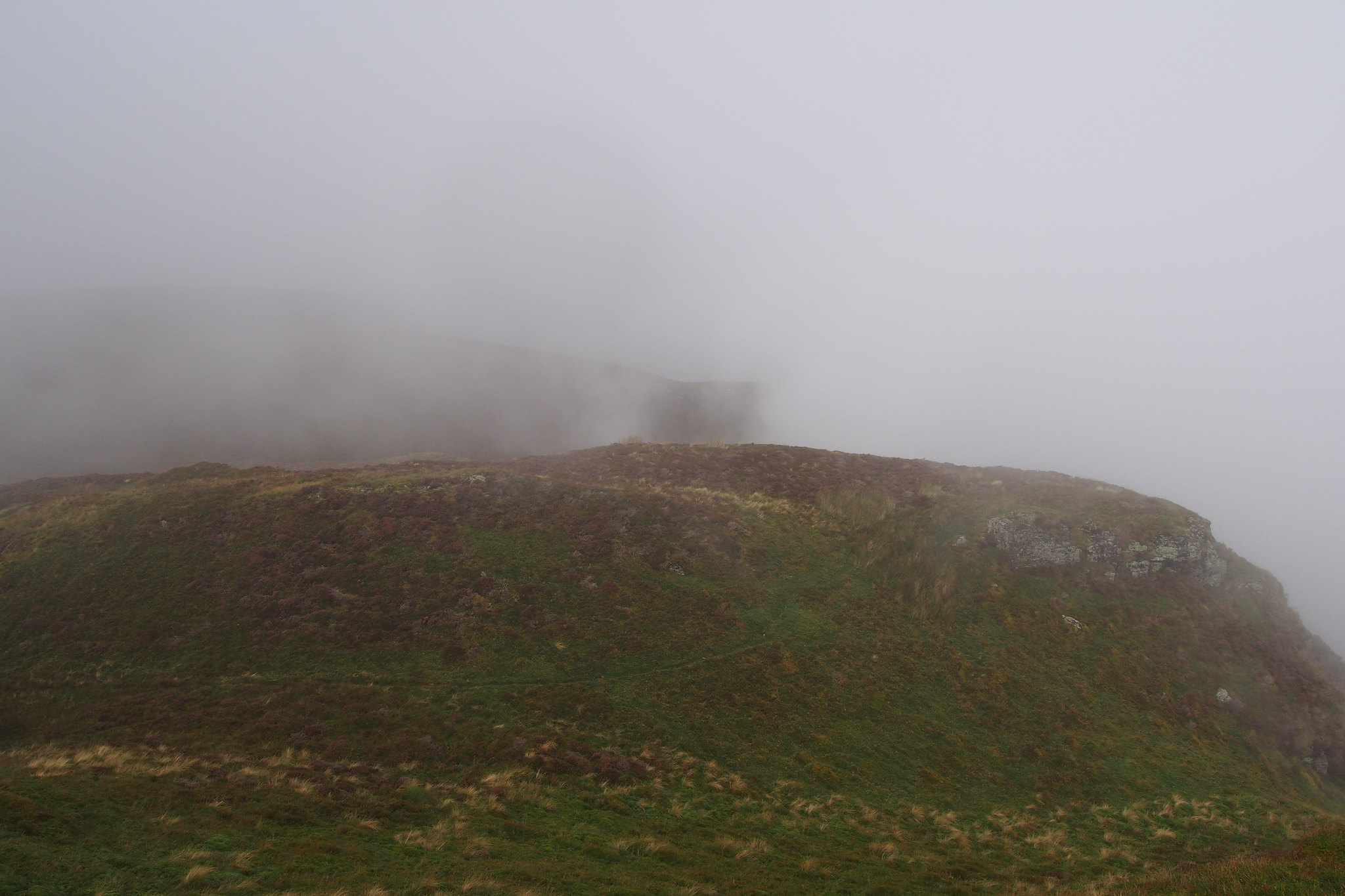
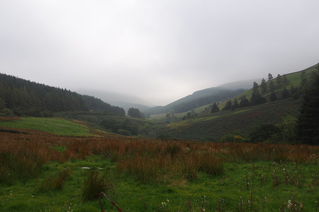
From here we headed for Graystones we were still in the mist but the whole route has good paths so no real problems and theres plenty of features to guide you on the map.
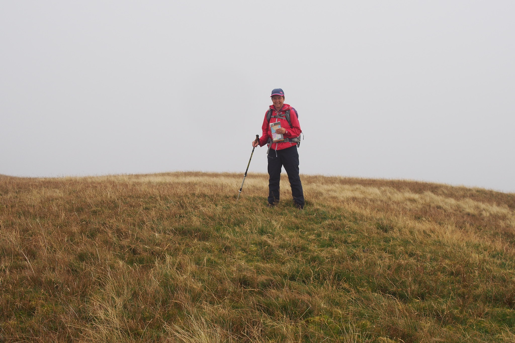
Theres not much on Graystones to identify the summit so we went to all the three high spots around and chose the highest for the photo.
 PA030130
 by
Martin Hawer, on Flickr.Graystones,
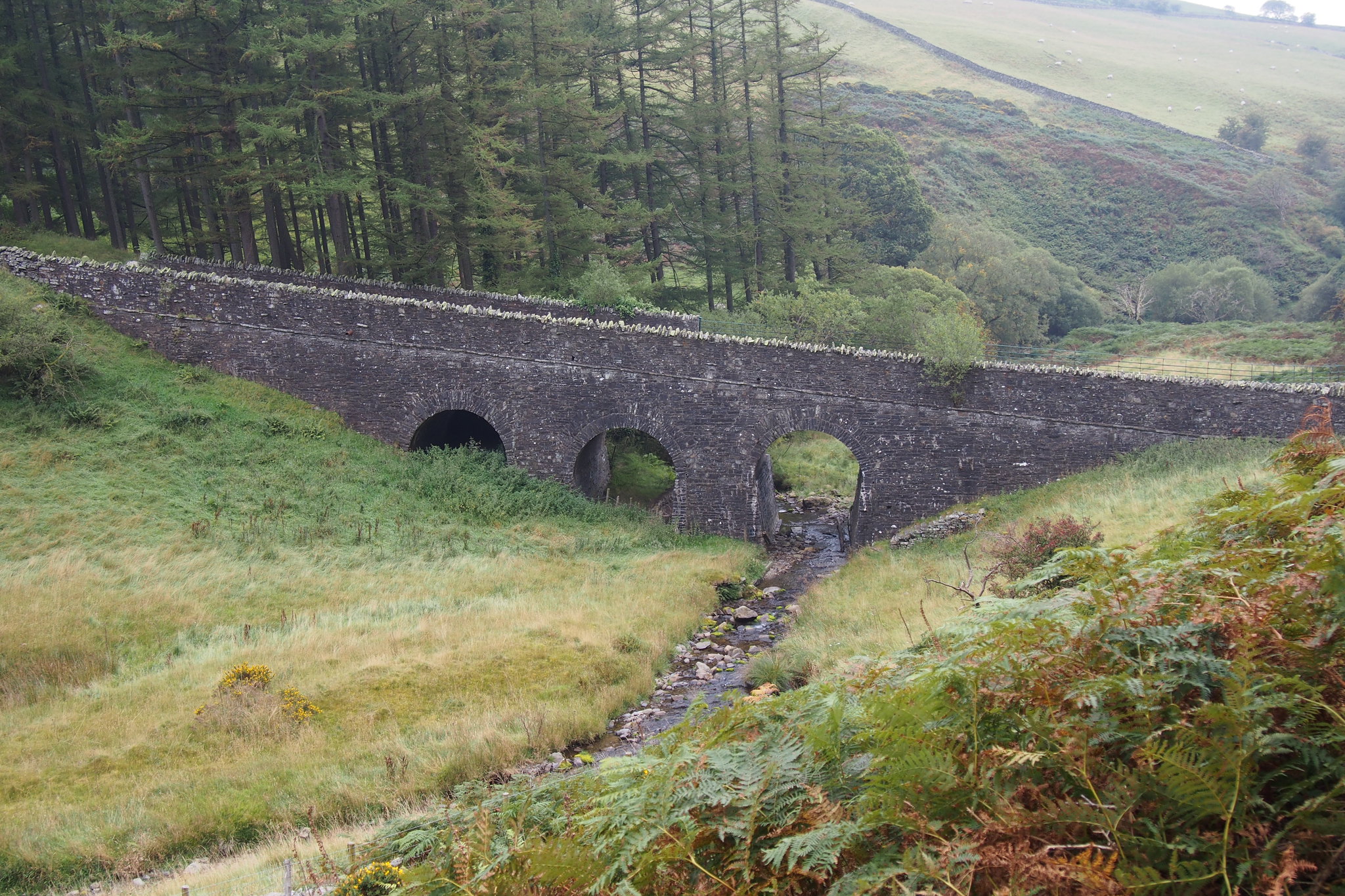
From the summit we followed the wall down towards Scawgill Bridge.
 PA030132
 by
Martin Hawer, on Flickr. Path towards the wall off the summit.
 PA030133
 by
Martin Hawer, on Flickr. Kirk Fell in the mist.
 PA030135
 by
Martin Hawer, on Flickr. Scawgill Bridge.
Then along the road back to the carpark.
 PA030140
 by
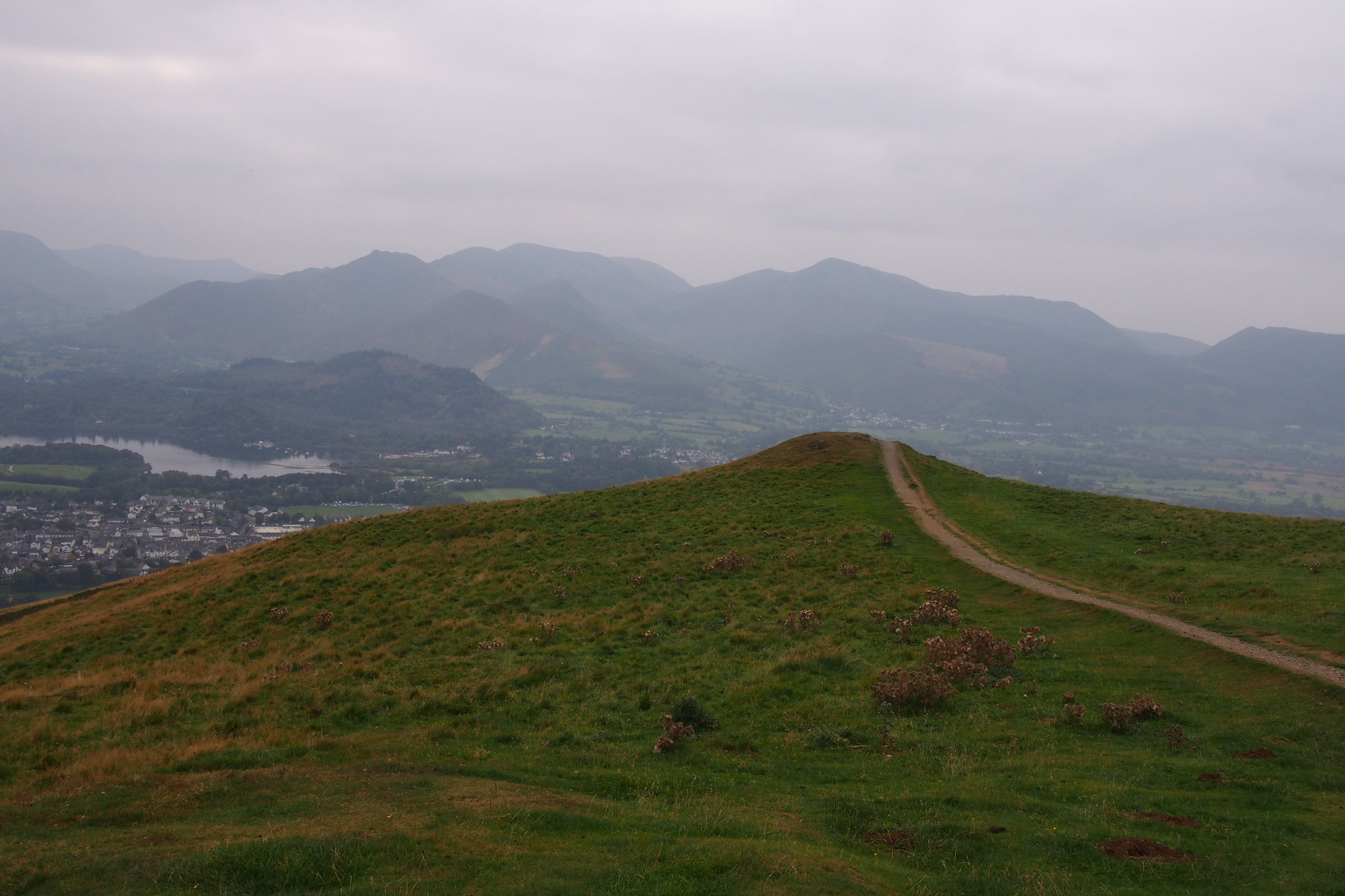
Martin Hawer, on Flickr. From the road. That's Graystones, we came down by the wall.
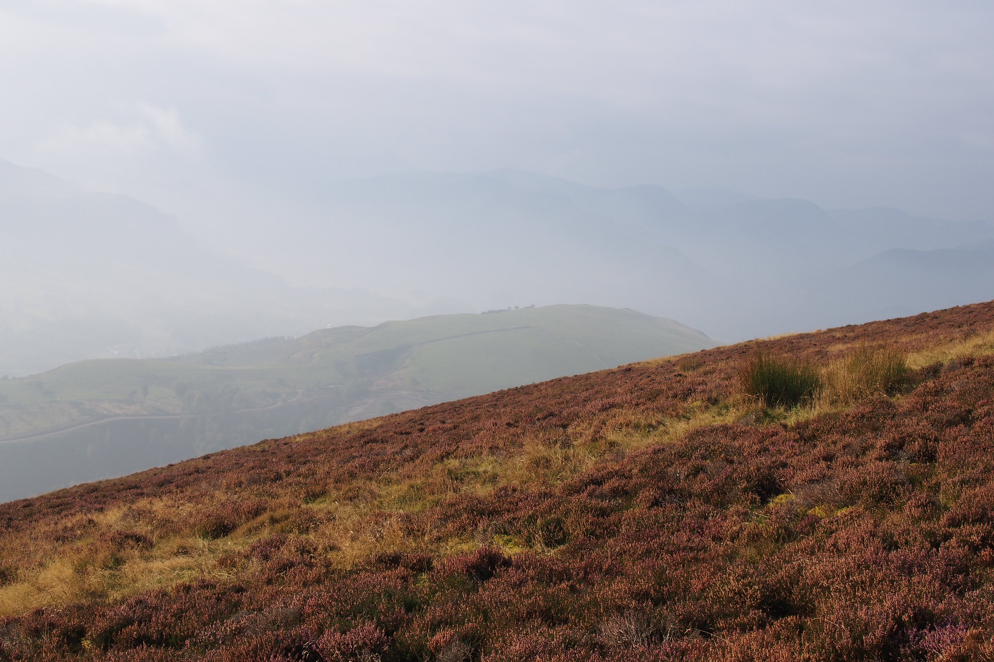
 PA030141
 by
Martin Hawer, on Flickr Misty Views to the south.
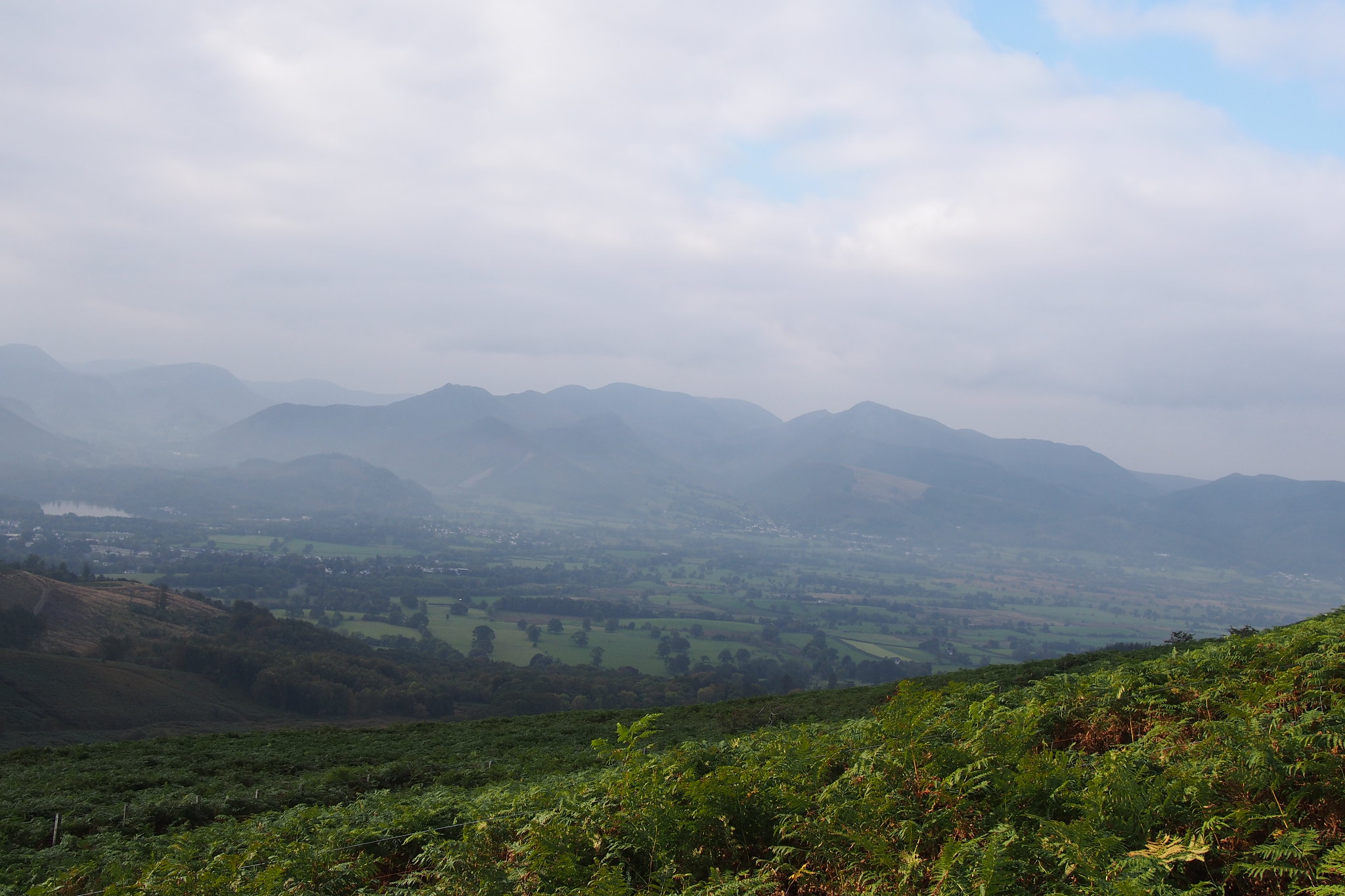
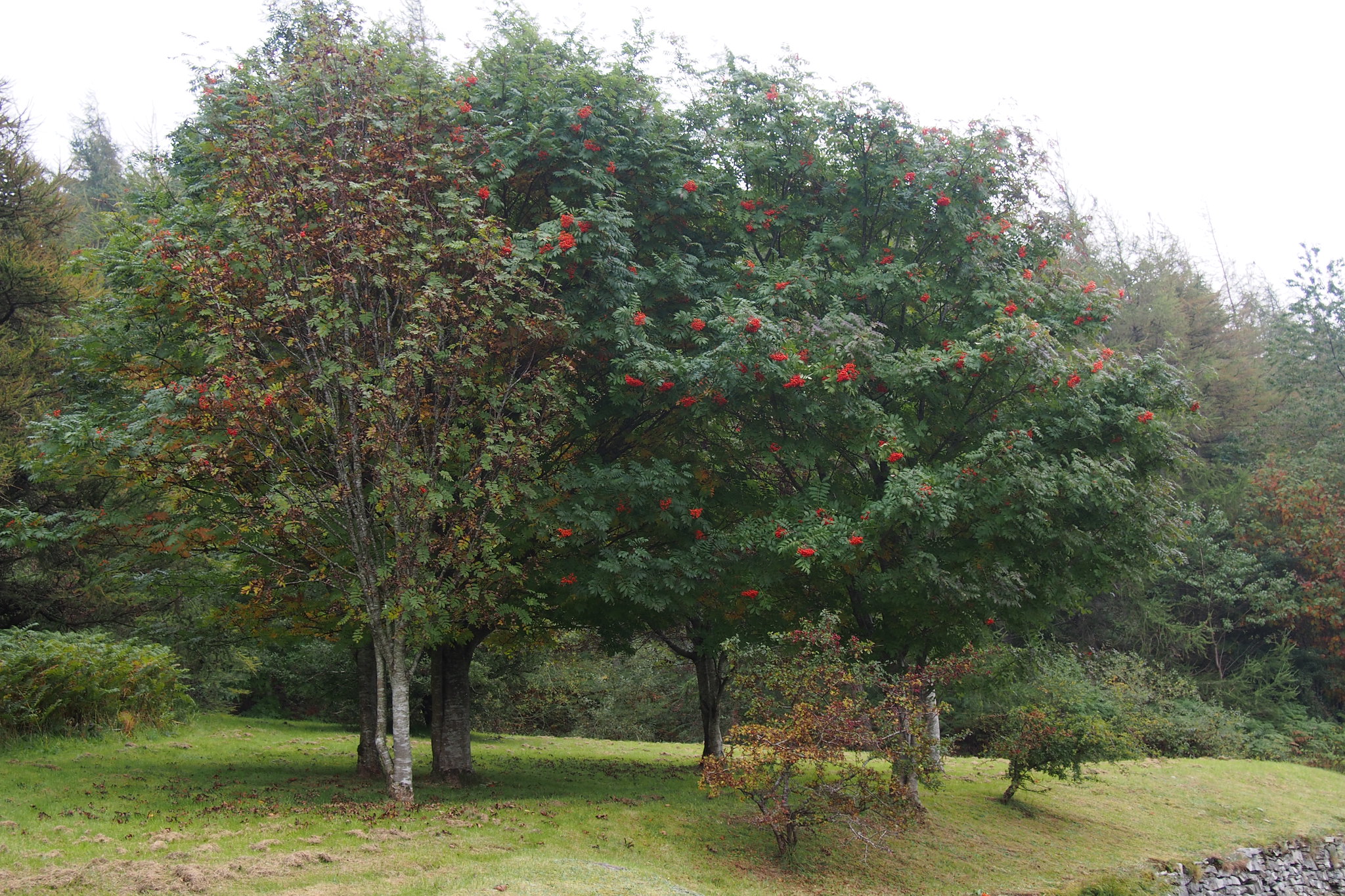 PA030145
 by
Martin Hawer, on Flickr. Rowan berries.
This was an enjoyable day out even though we were in the mist for all the summits so no views but we'll do it again on a mist free day just for the views.
SUNDAY 4th.
Lonscale Fell and Latrigg.
8km.
565m Ascent.
3 Hours.
We decided to do two Wainwrights around Skiddaw which needed to be done to finish off that part of the Lakes and were ideal as they wouldn't take long to do.
The weather was good but there was a thin misty haze all around but we could see the tops around us so hopefully we'd get better views today.
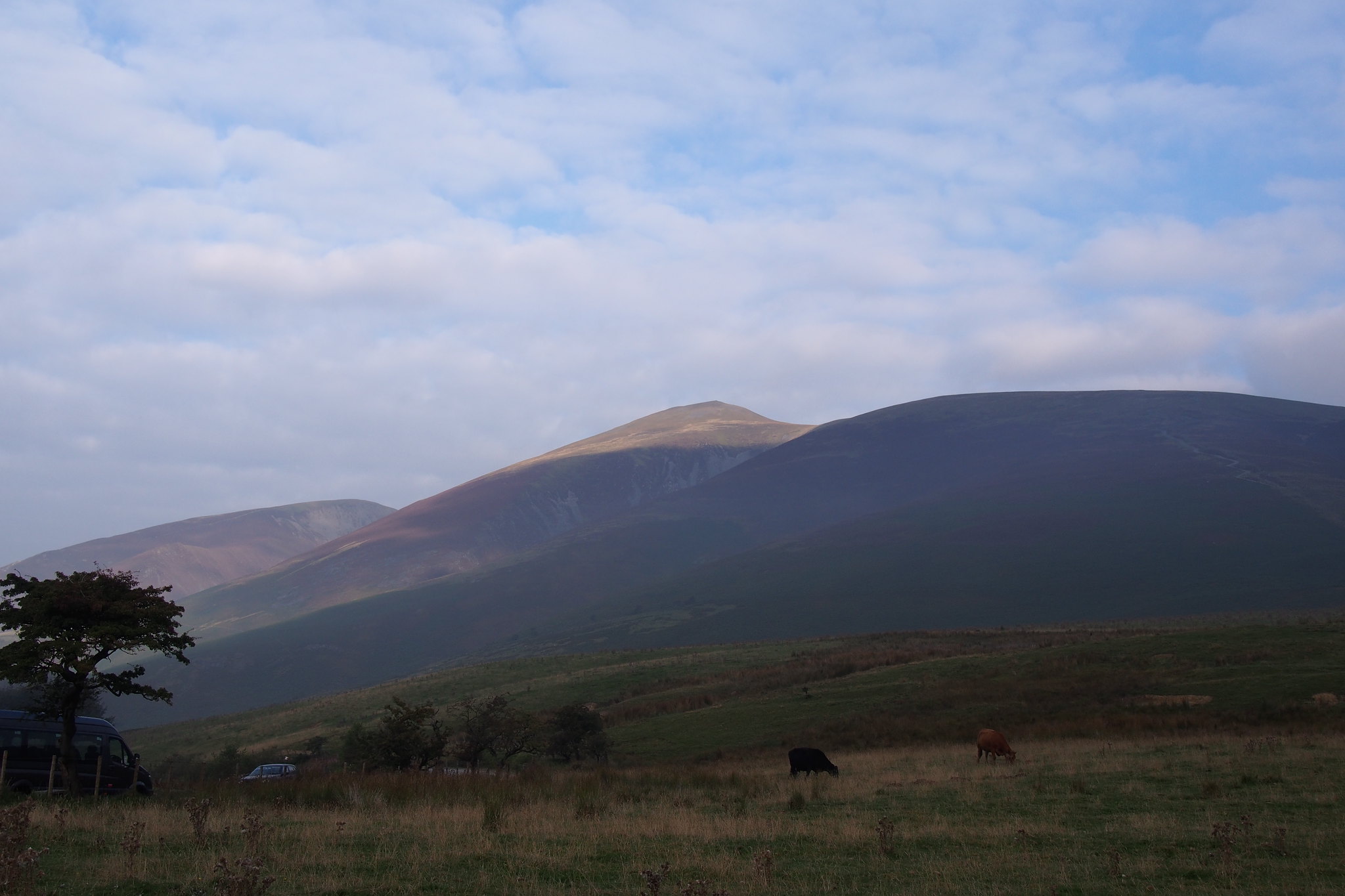 PA040148
 by
Martin Hawer, on Flickr. Better views today, Skiddaw from the car park.
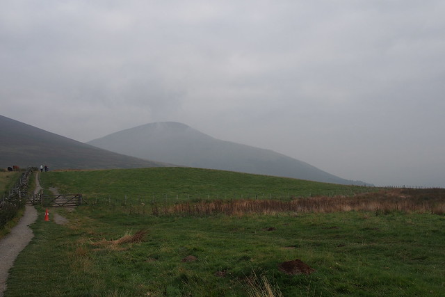 PA040149
 by
Martin Hawer, on Flickr. Blease Fell hanging onto the last of the mist/cloud.
From the car park at NY280254 we set off along the Cumbria Way towards Skiddaw House and walked around the lower slopes of Lonscale fell until we met the fence coming down from the summit.
 PA040150
 by
Martin Hawer, on Flickr. Keswick is in that lot, Latrigg in the foreground, from the fence leading up Lonscale Fell.
 PA040151
 by
Martin Hawer, on Flickr. Blease Fell
There's a good path alongside this fence that takes you all the way to the top, its a bit steep but height is gained very quickly and the views over to Blencathra are superb.
 PA040152
 by
Martin Hawer, on Flickr. Fence and path, a good handrail in mist.
 PA040153
 by
Martin Hawer, on Flickr. Blencathra.
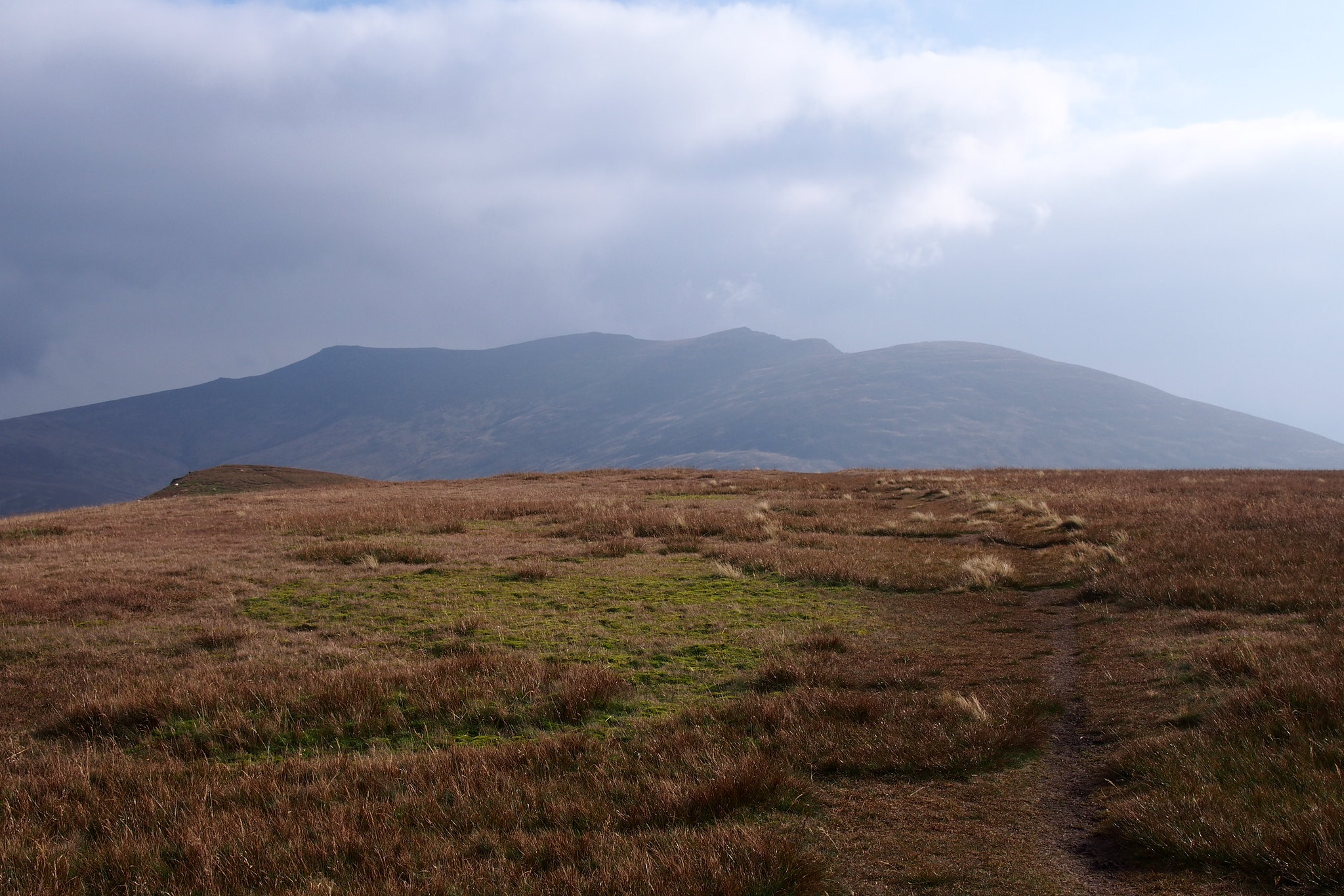
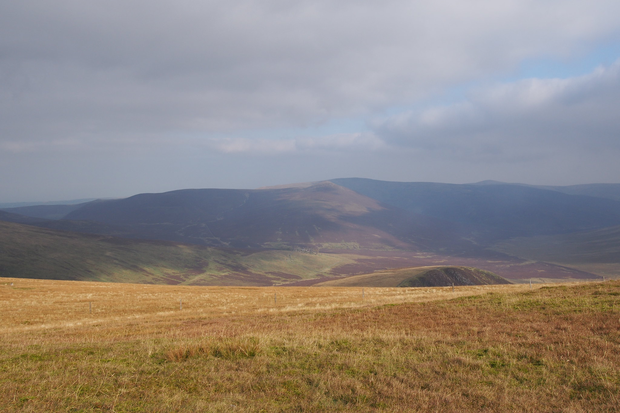
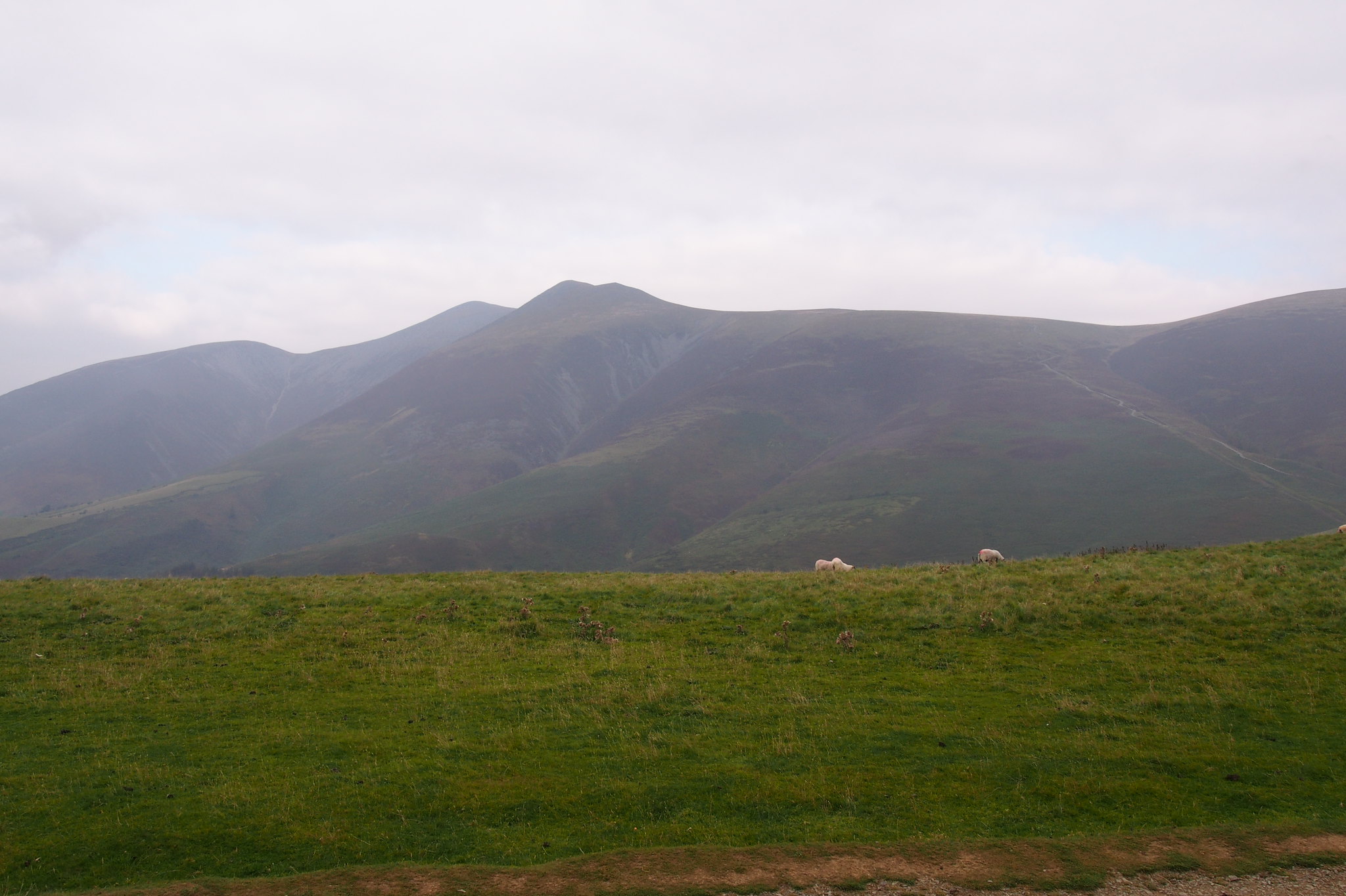
The summit of Lonscale is a great viewpoint for the Northern fells, Skiddaw is dominant as is Blencathra with most of the higher mountains of Lakeland to the south.
 PA040154
 by
Martin Hawer, on Flickr. Summit of Lonscale Fell with Skiddaw behind.
 PA040156
 by
Martin Hawer, on Flickr. Great Calva and Little Calva with Knott behind.
 PA040159
 by
Martin Hawer, on Flickr. Grisedale Pike, Grasmoor, Crag Hill, Causey Pike etc etc etc.
From Lonscale we headed into the dip between Lonscale and Jenkin Hill, picked up a path at around NY281273 which joins the tourist route up Skiddaw.
 PA040161
 by
Martin Hawer, on Flickr. Latrigg from the path up Skiddaw, you can just make out the cars.
We went back to the car park from there, we dumped the rucksacks in the car and went up Latrigg which was a very short walk but once at the summit the views were lovely if a bit hazy.
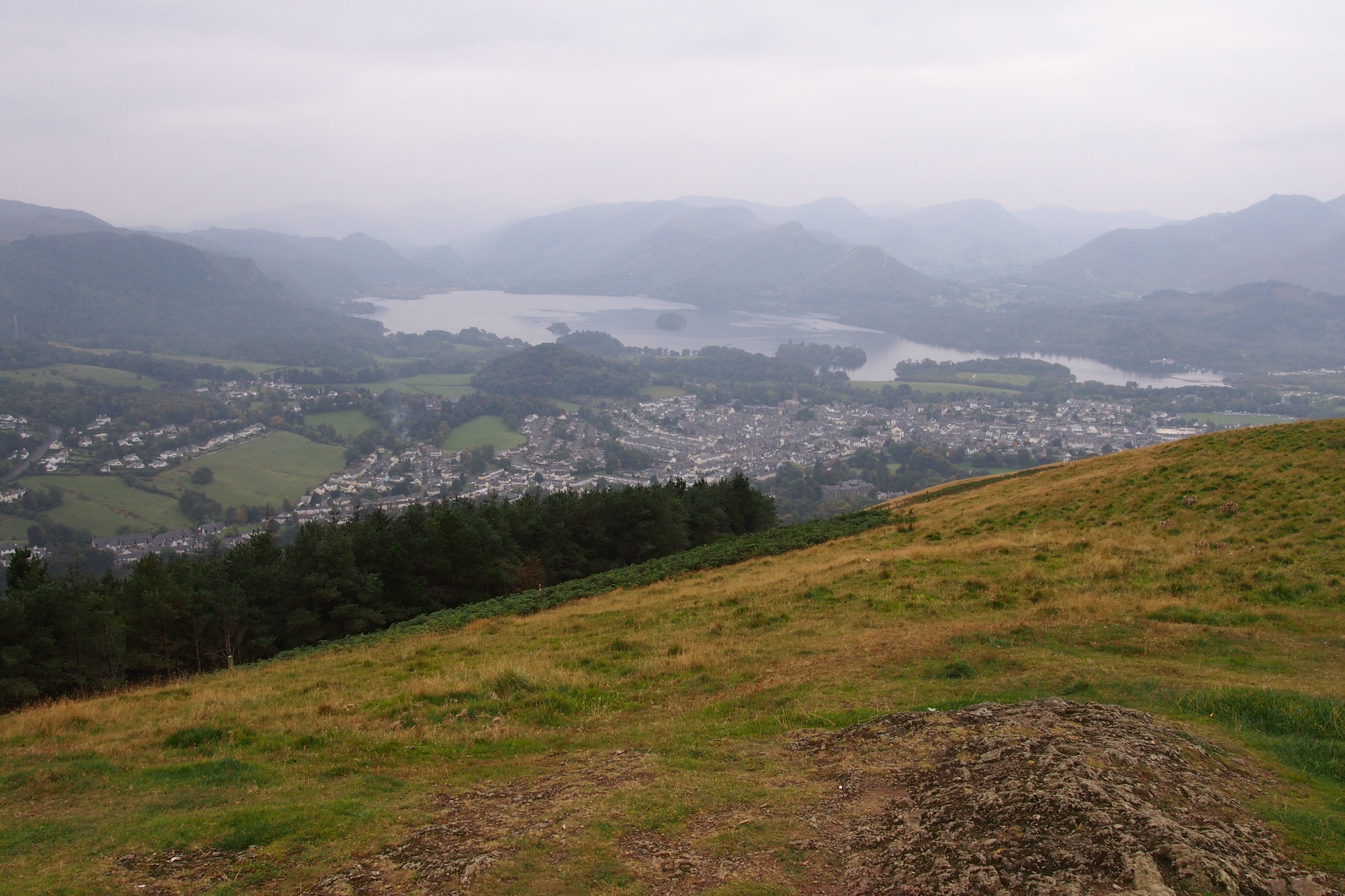 PA040167
 by
Martin Hawer, on Flickr. Keswick from the summit of Latrigg.
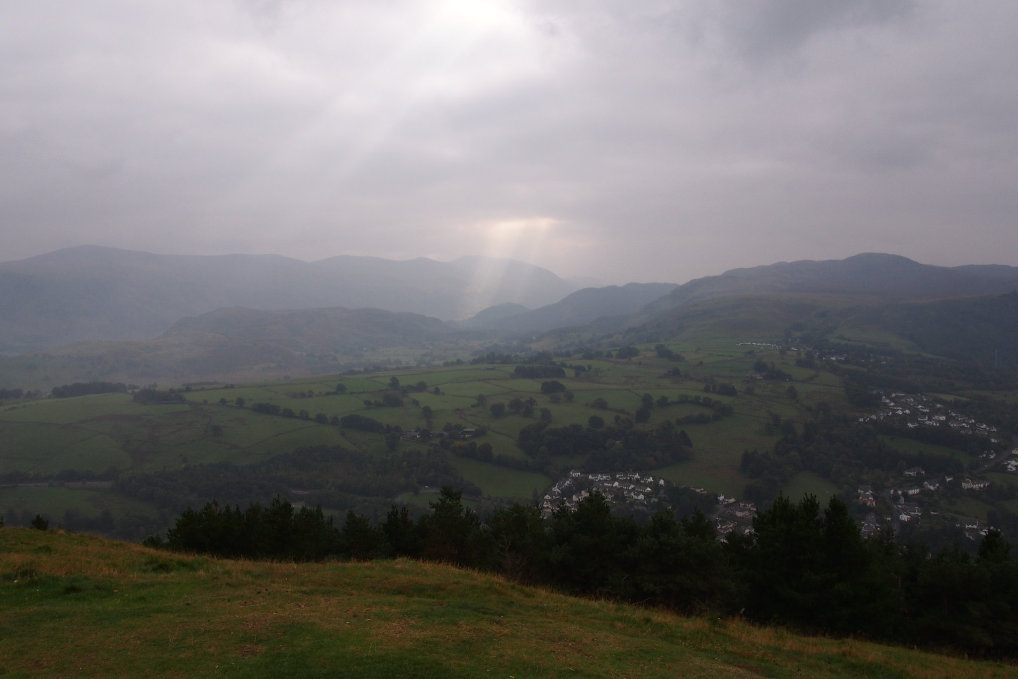 PA040168
 by
Martin Hawer, on Flickr. Ray of light, Dodds etc behind.
 PA040172
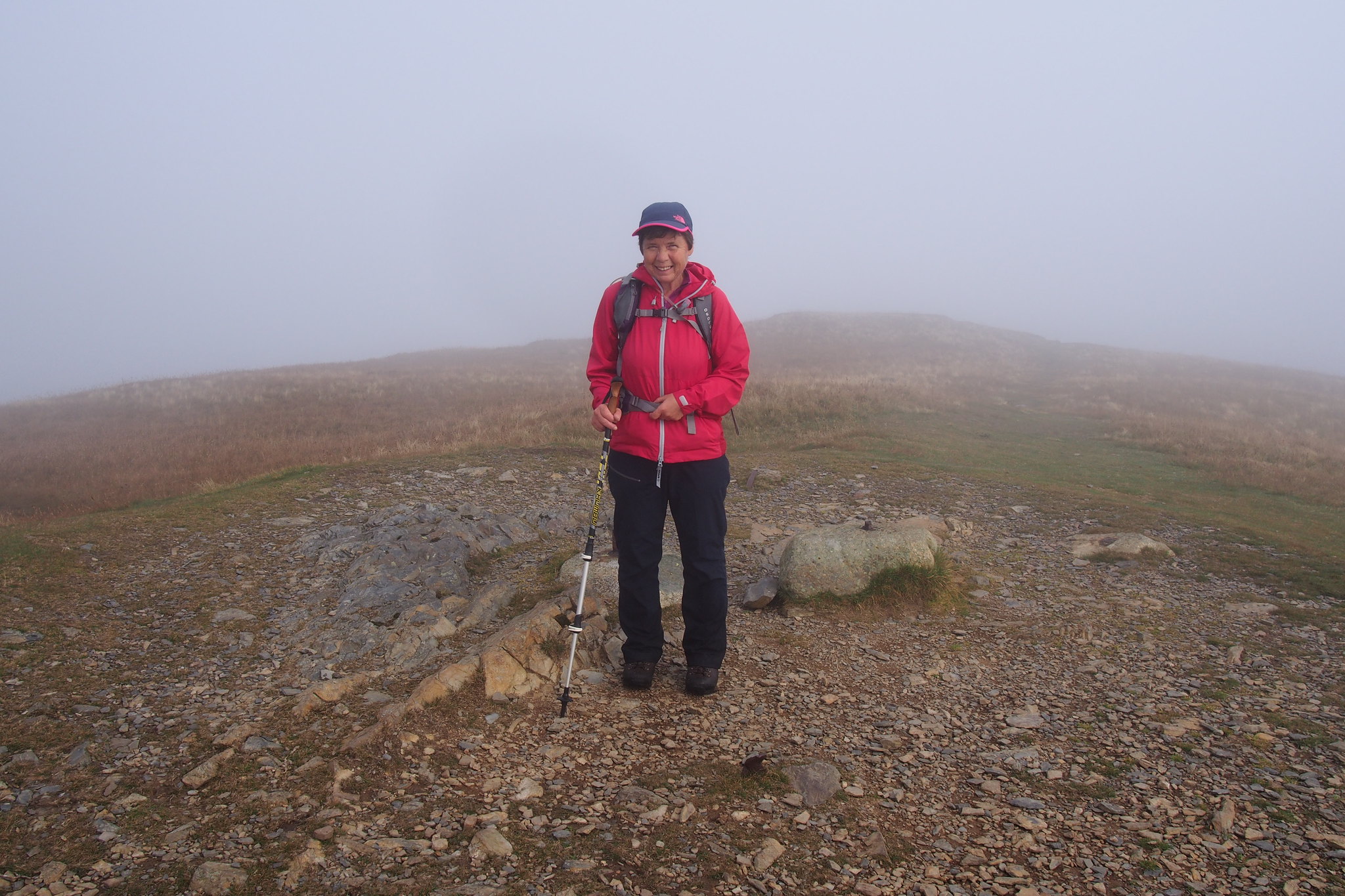
 by
Martin Hawer, on Flickr. Denise on the summit, Keswick looking like Toytown below.
 PA040175
 by
Martin Hawer, on Flickr. Looking towards Dale Head, Hindscarth and Robinson.
 PA040178
 by
Martin Hawer, on Flickr. Skiddaw.
We spent a bit of time just looking, its a popular little hill and a lot of people were out enjoying the warmth.
After a while we set off down, had our lunch at the car and set off for home.
We had a good weekend and managed seven Wainwrights so the Northern ones are getting fewer in fact theres only six more to do to finish off the ones around the A66. I feel another weekend coming on...............
