free to be able to rate and comment on reports (as well as access 1:25000 mapping).
This is a walk I'd had in mind to do for a while, never bothered about it being soggy so when the opportunity arose we grabbed the chance, Sunday looked just right.
With our trip to Skye looming fast we decided to use this as a leg warmer knowing that bog hopping takes it out of the legs so hopefully it'll improve our stamina.
The plan was to park in the carpark at Armboth, when we arrived the gates were padlocked due to damage to the carpark caused by storm Desmond, and, as it turned out, so were all the others on this side of Thirlmere, I guess the damage to the A591 took priority over anything else in the area so the lesser projects are still work in progress.
We managed to get parked in a layby about a mile south of Armboth which was good and there were no parking charges so good things do come out of initial disappointment.
From our layby we walked back to Armboth and took the forest path running alongside Fisher Gill, its not a bad track, it passes the old summer house that belonged to Armboth Hall which was demolished when the level of the lake was increased when it was dammed to provide drinking water for Manchester.
Beyond the summer house the track becomes much steeper and gives the legs a good workout.
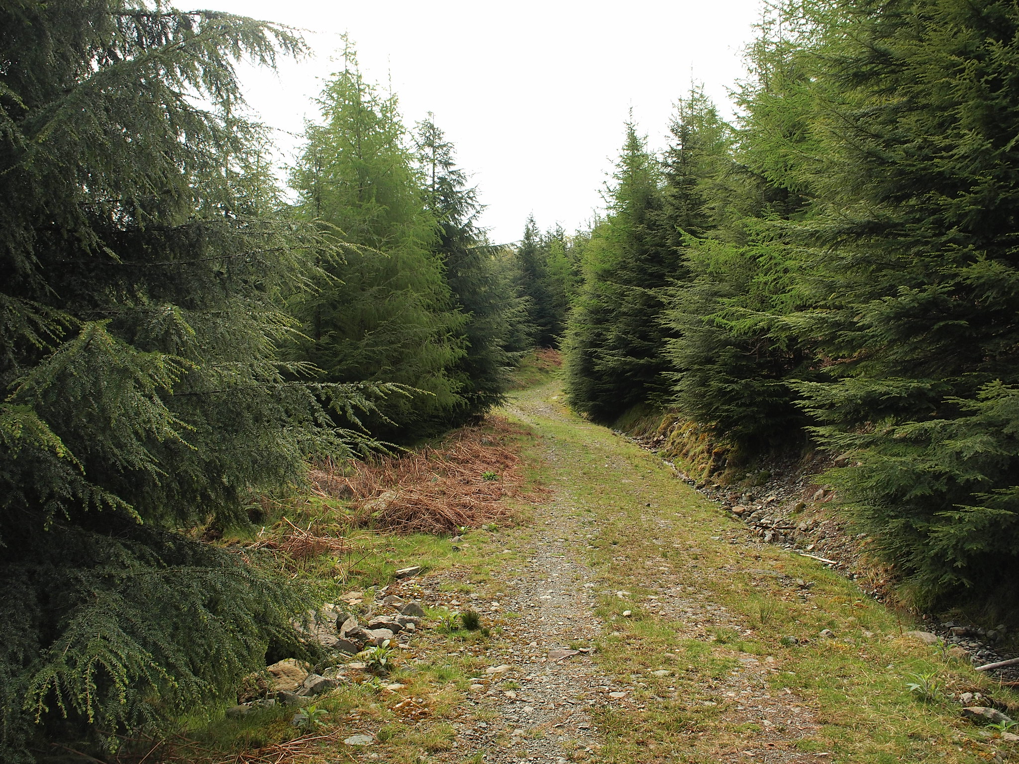 P5222024 - Copy
 by
Martin Hawer. On the track leading onto the higher fells.
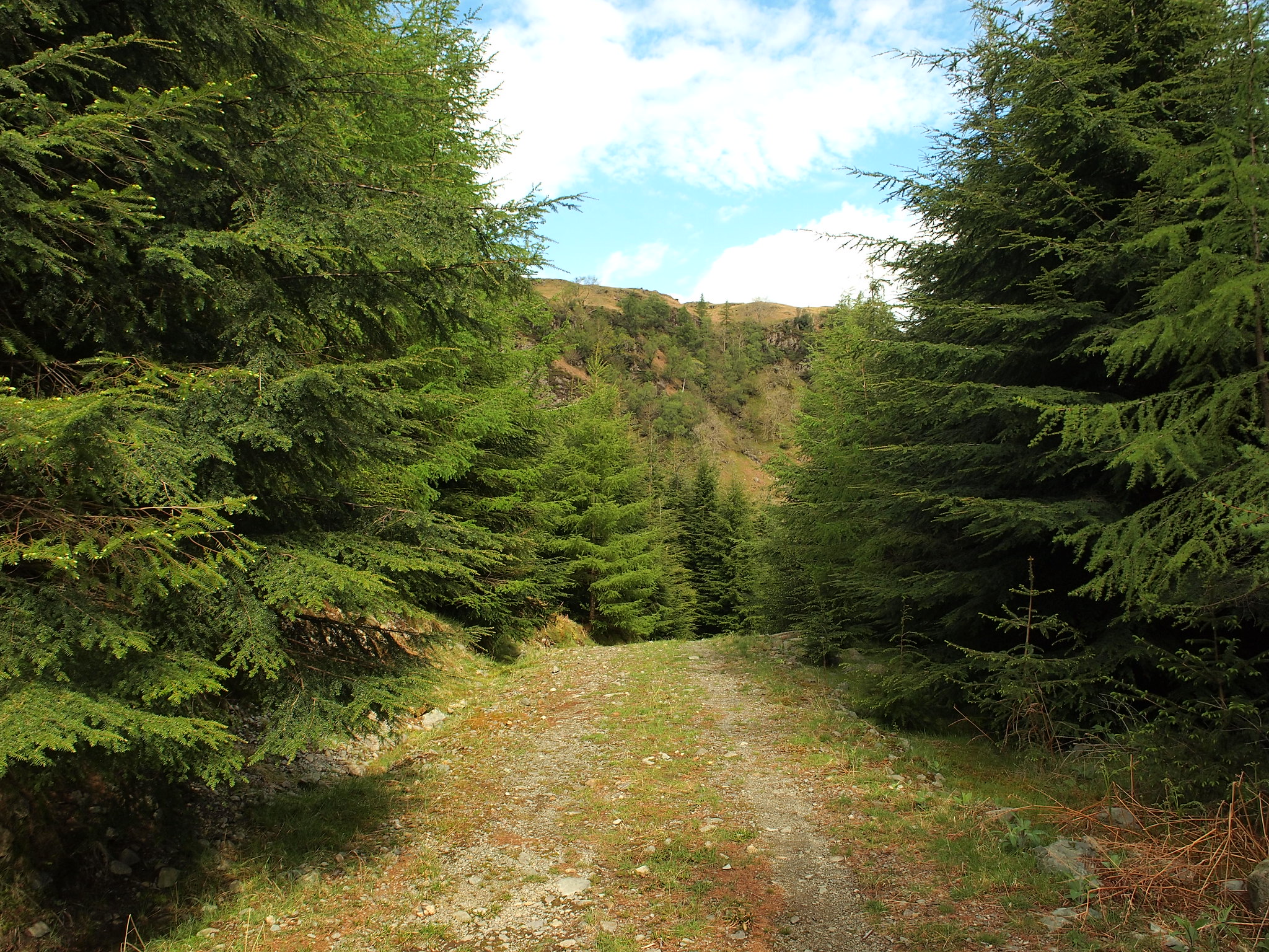 P5222026
 by
Martin Hawer. Looking back, lovely lush new growth everywhere.
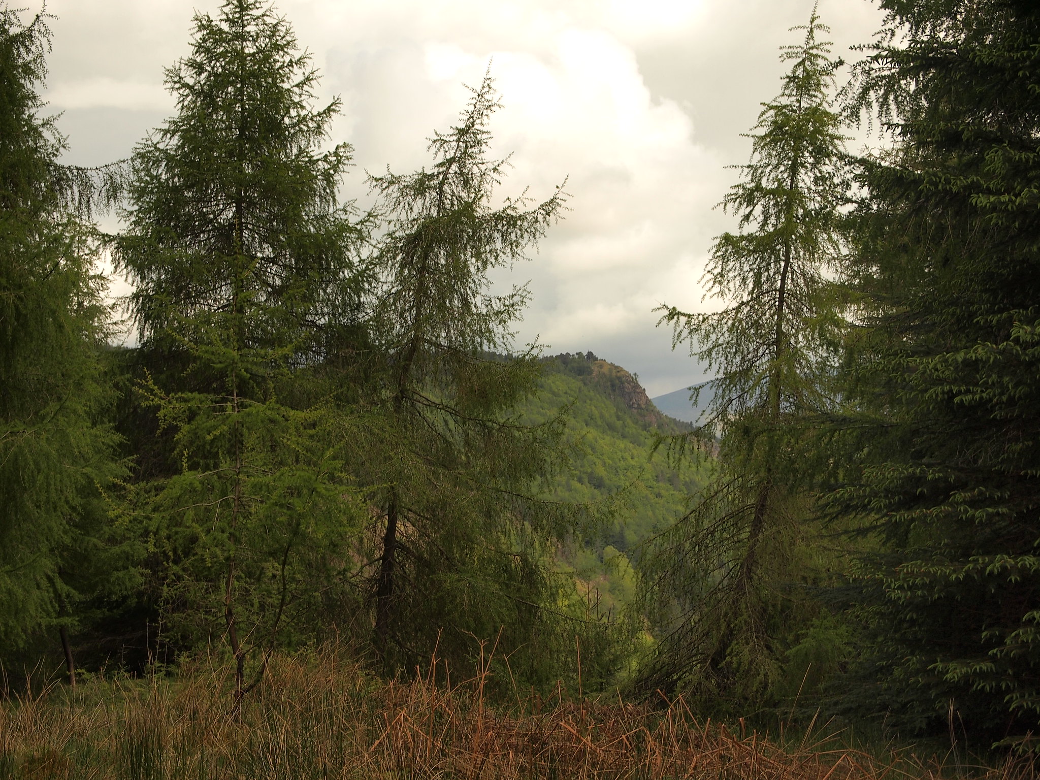 P5222027
 by
Martin Hawer. Raven Crag through the trees.
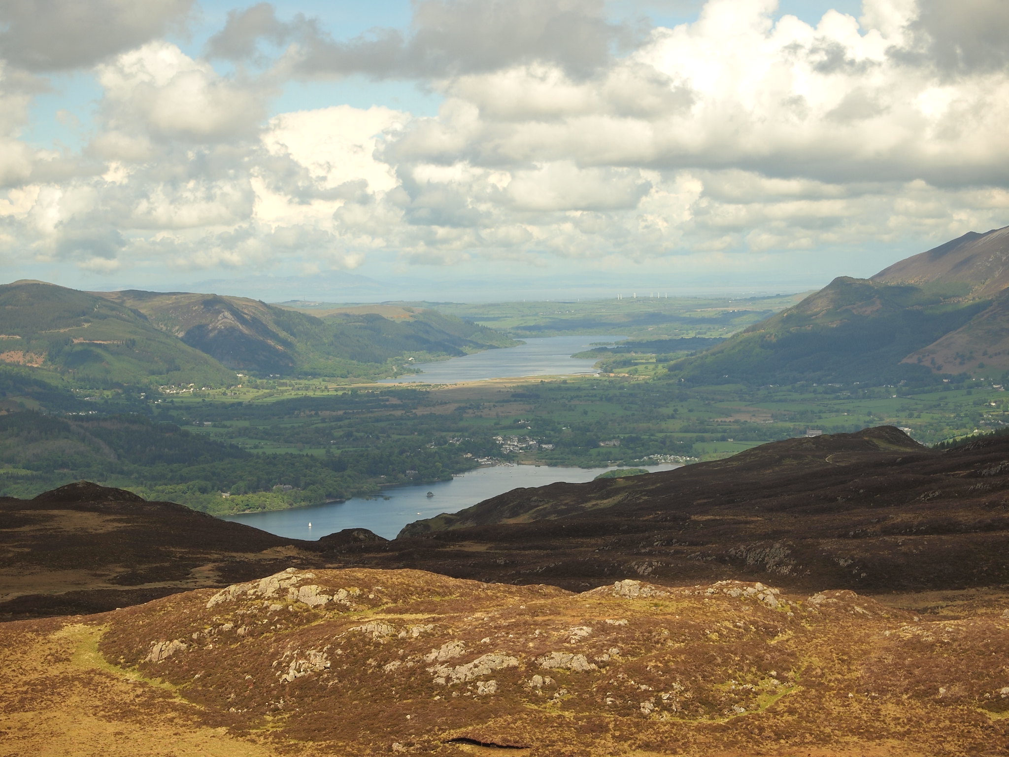
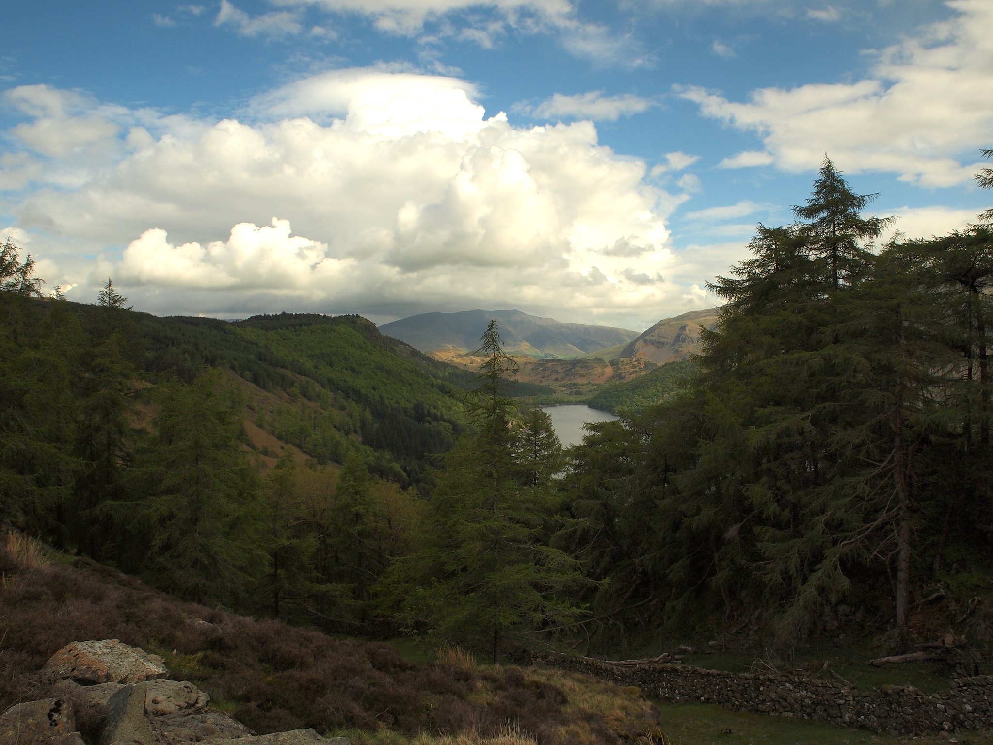 P5222029
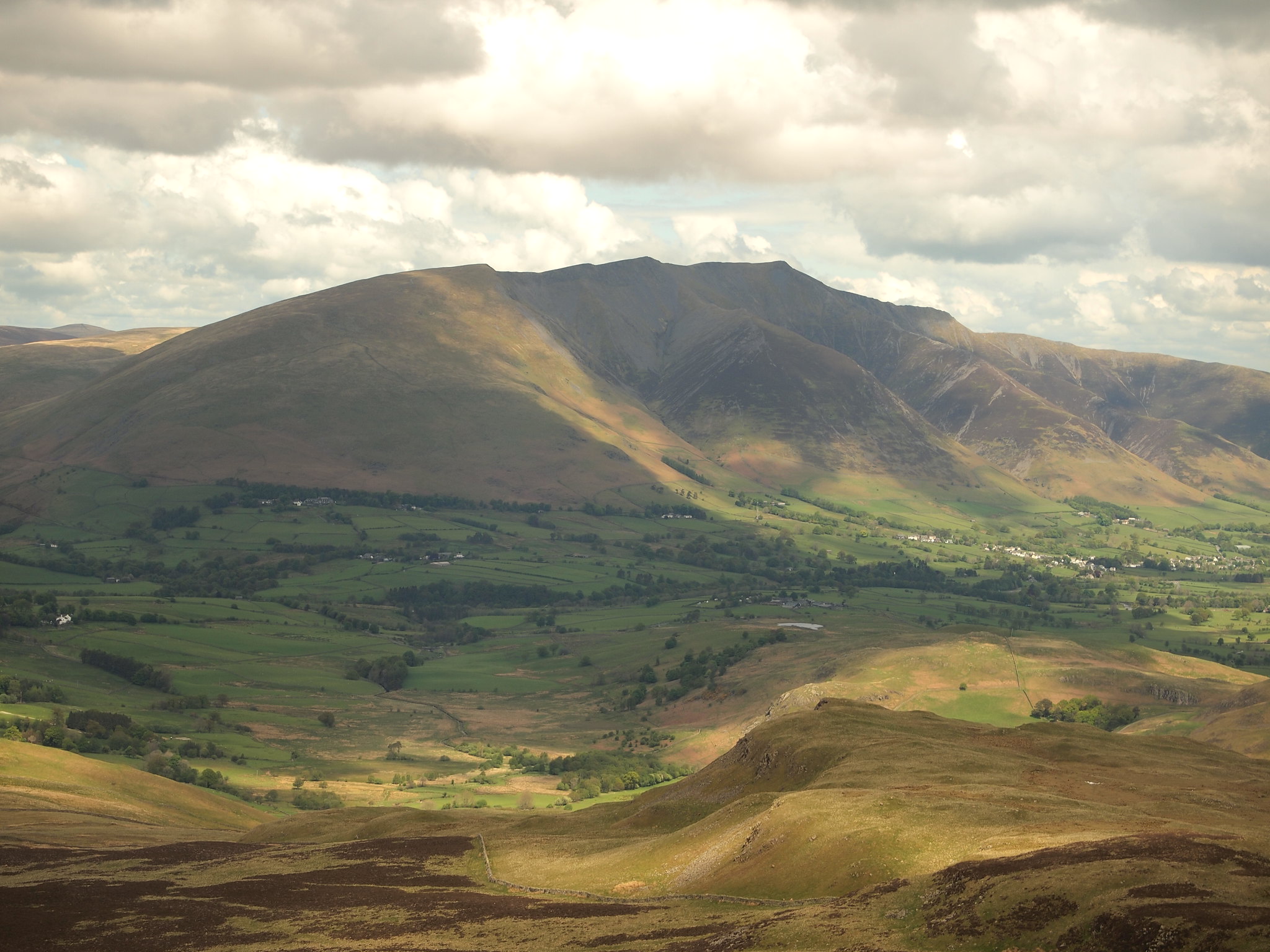
 by
Martin Hawer. Thirlmere with Blencathra behind.
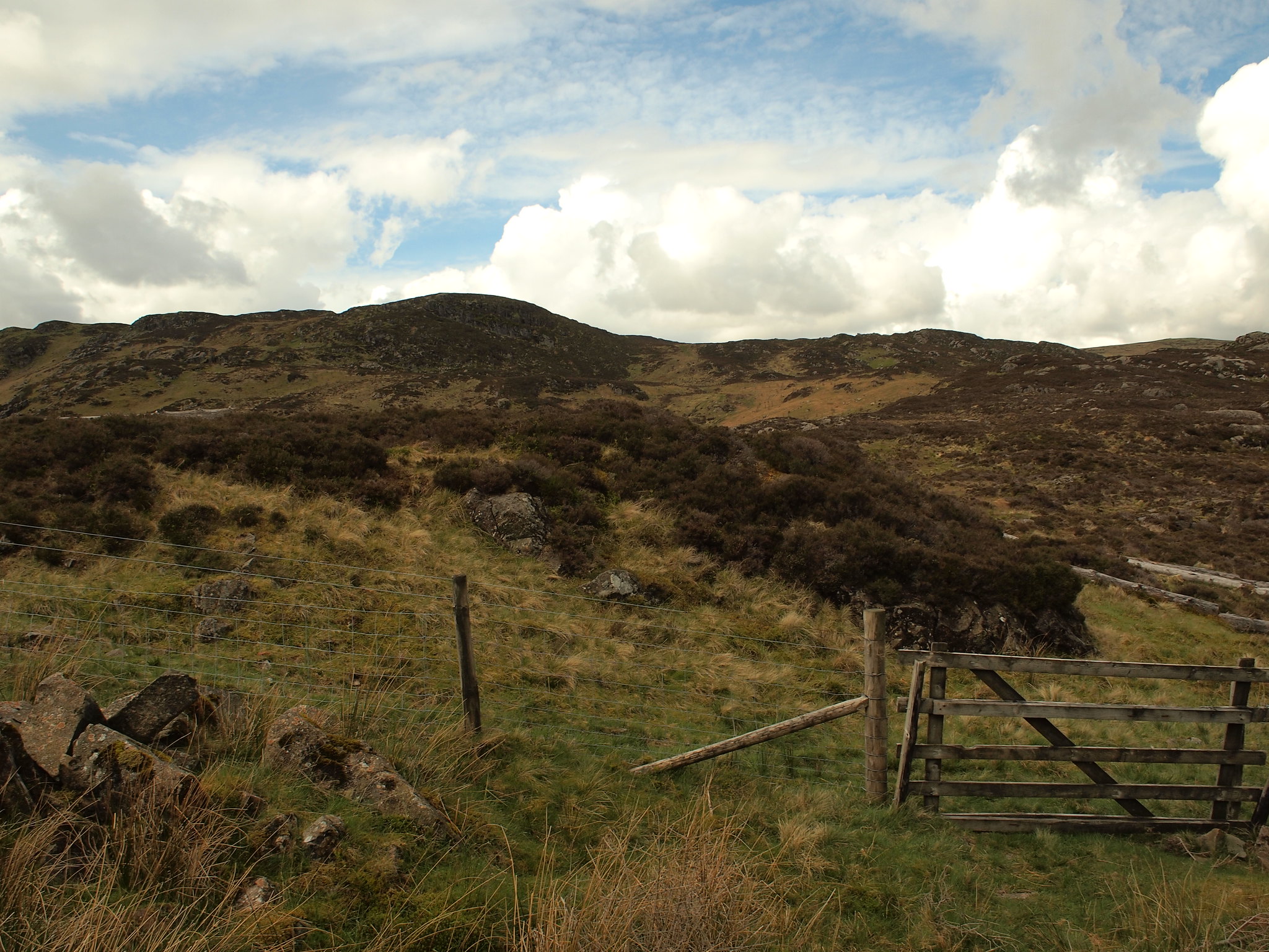
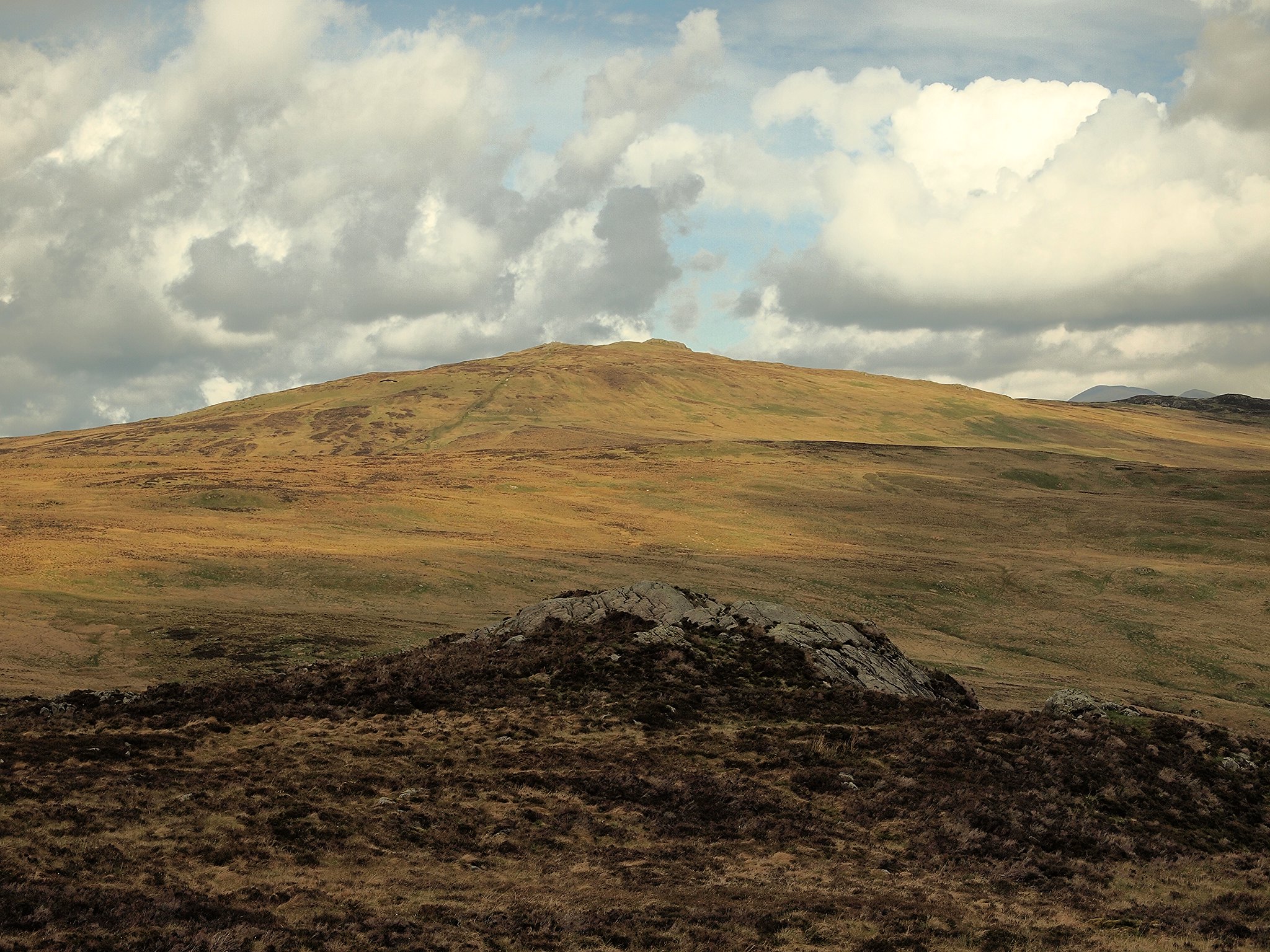
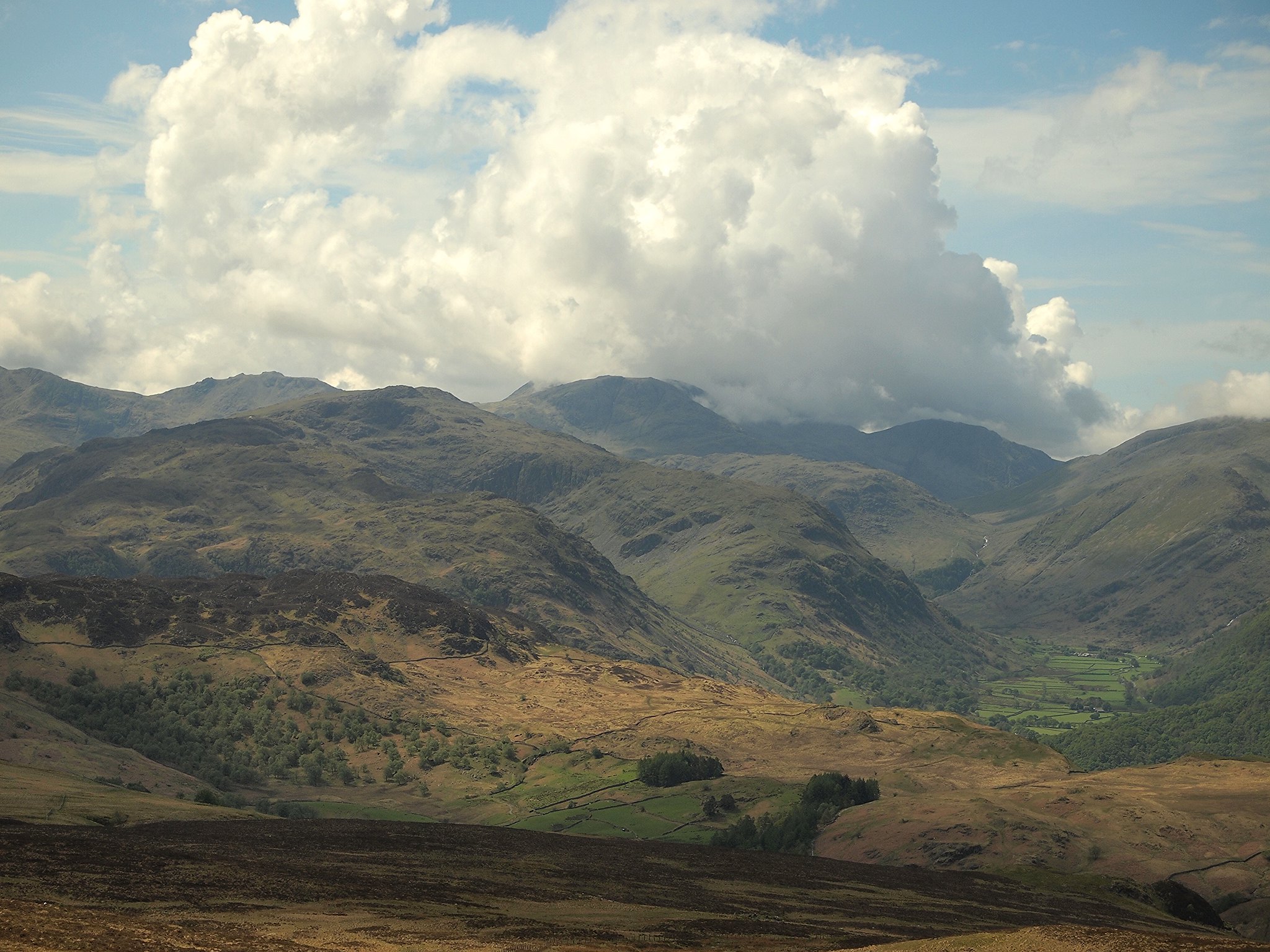
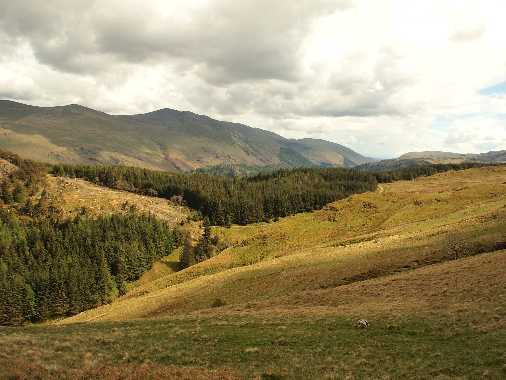
When we cleared the trees Fisher Crag was on our left and over to the right we had our first look an our intended, Armboth Fell.
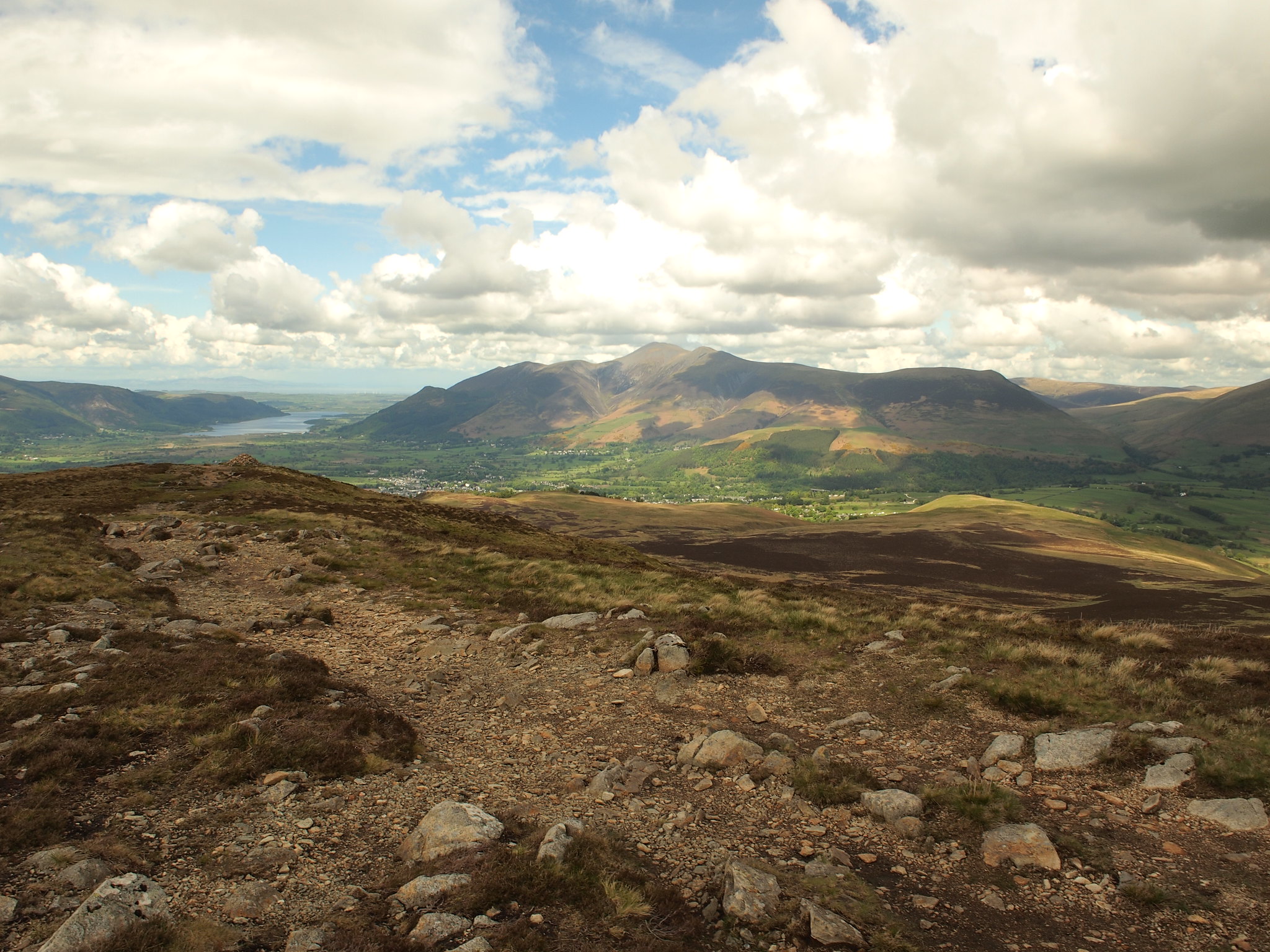
 P5222030
 by
Martin Hawer. Armboth Fell, our route up is on the right heading for the dip in the skyline.
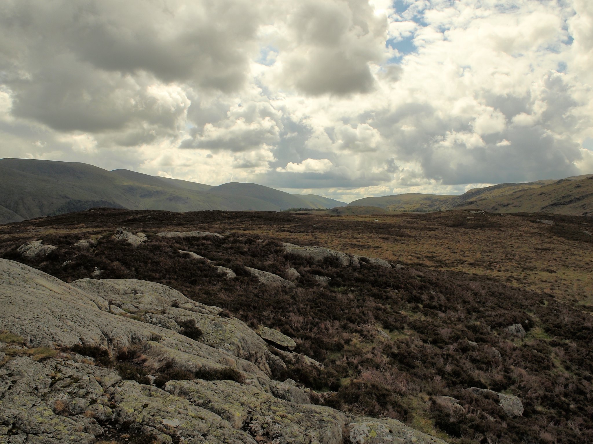
Being warned that this section is soggy, especially the direct route, we headed for a rocky, heathery ridge on the right to keep to the "high ground" and aimed for a dip on the skyline ahead in the hope it would be dryer, it was and we made good progress, although the summit isn't in view its a good point to head for and once there the way ahead is straight forward.
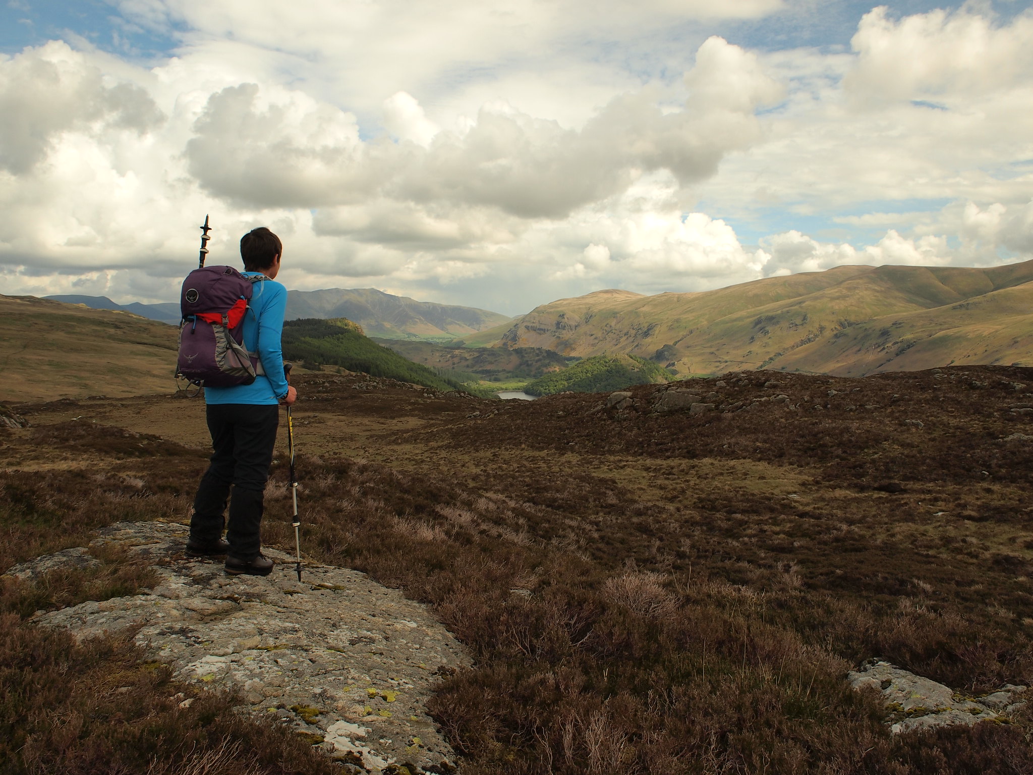
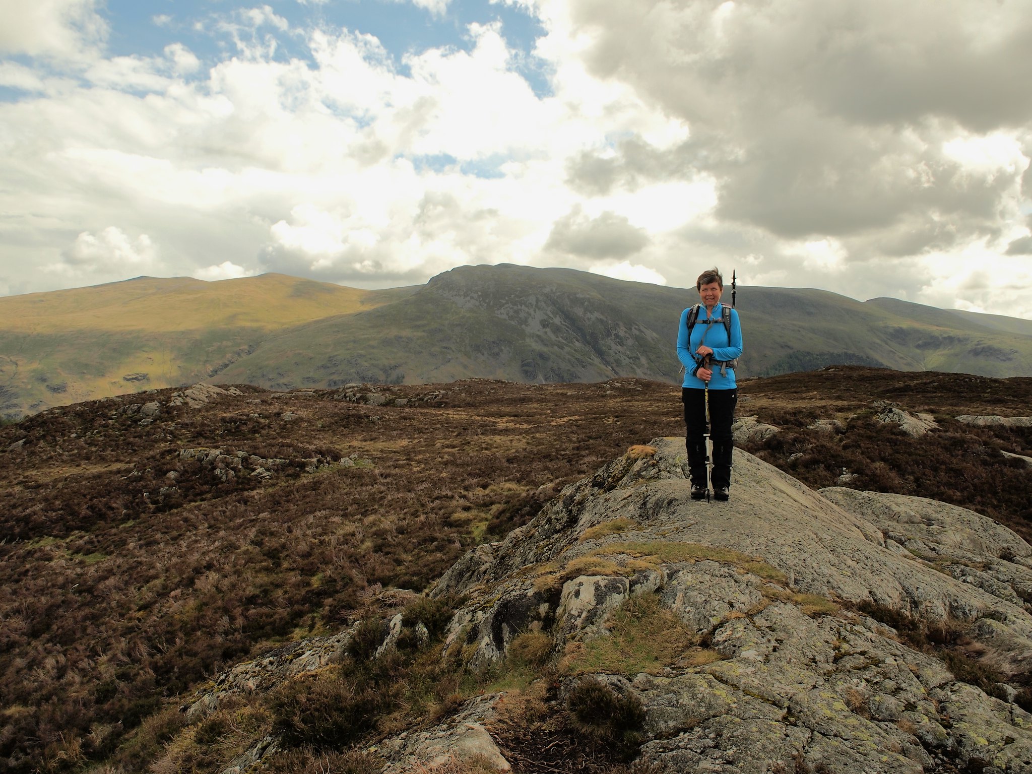
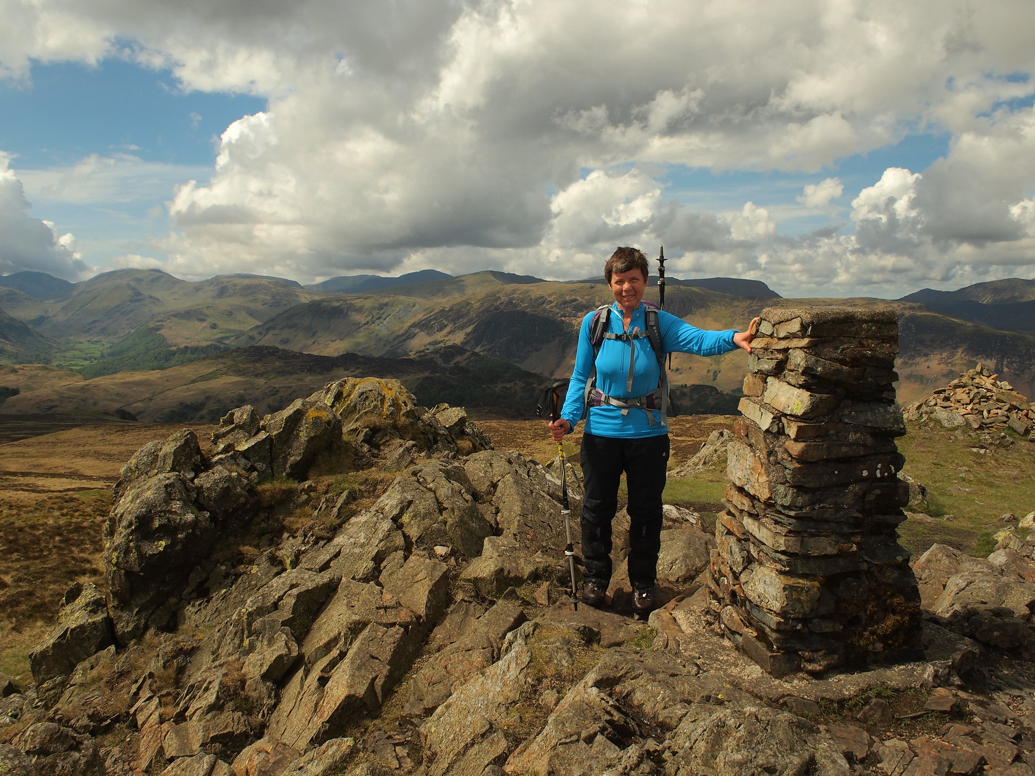
The summit is a rocky tor, there are two of about the same height so we visited them both to make sure.
 P5222031
 by
Martin Hawer. Denise on the first rocky bit.
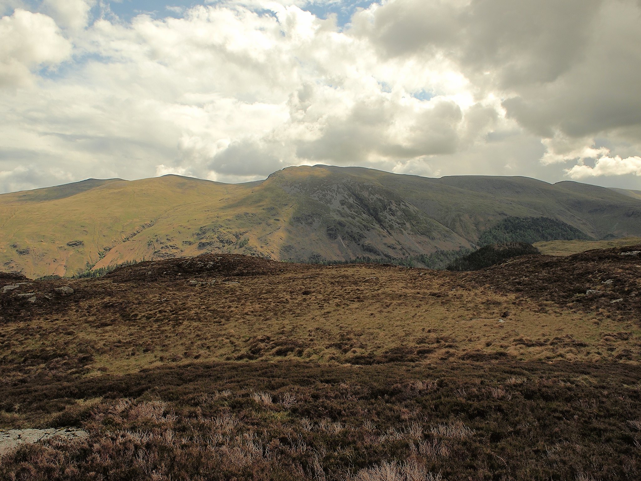
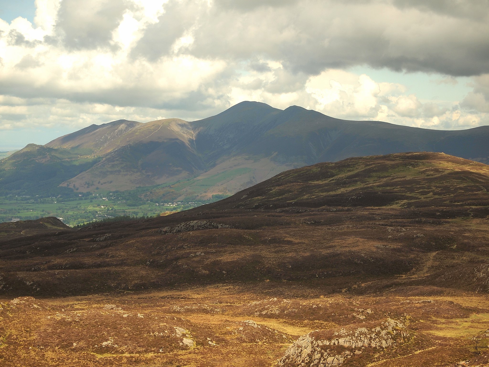
The views are great, Clough Head, the Dodds, Helvellyn and friends, Ullscarth, Great Gable and Pillar.
 P5222032
 by
Martin Hawer Views from the summit, Towards Helvellyn.
 P5222033
 by
Martin Hawer. Blencathra.
 P5222034
 by
Martin Hawer High Seat
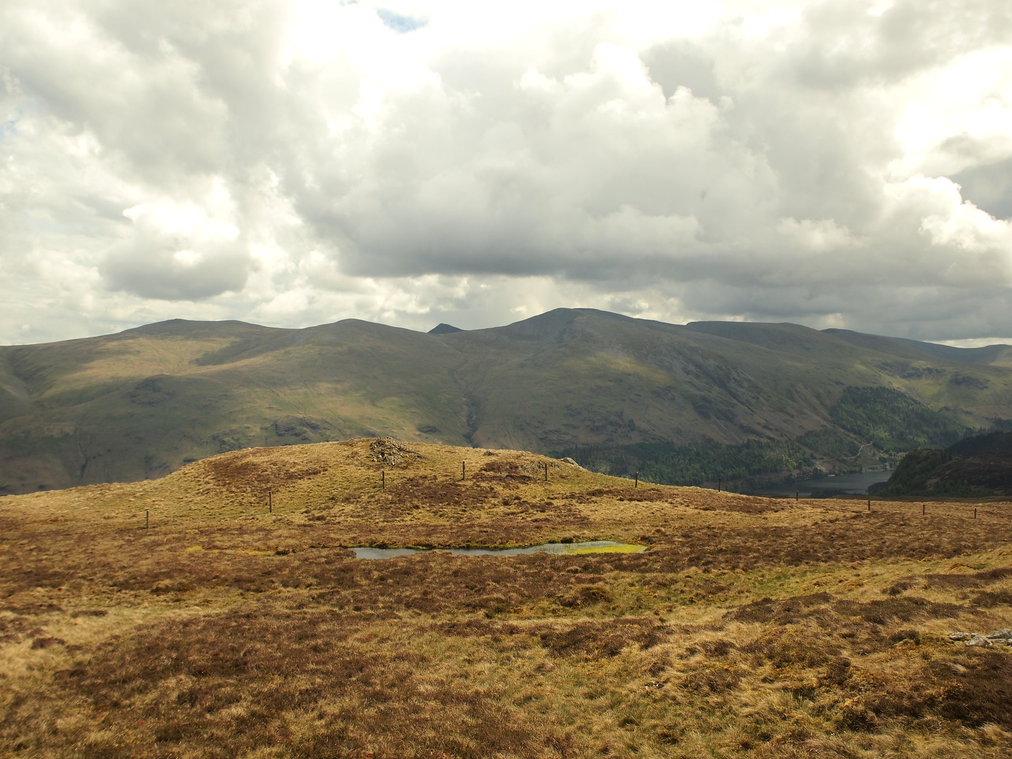
 P5222035
 by
Martin Hawer. High Tove.
 P5222036
 by
Martin Hawer.
 P5222038
 by
Martin Hawer Ullscarf.
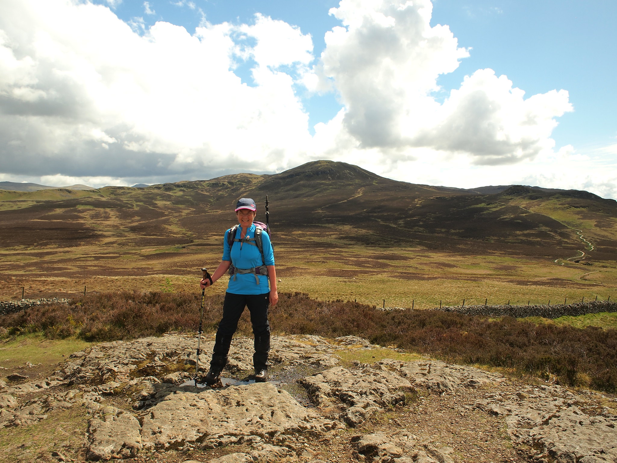
 P5222039
 by
Martin Hawer Denise on the second higher tor.
 P5222040
 by
Martin Hawer. Looking south.
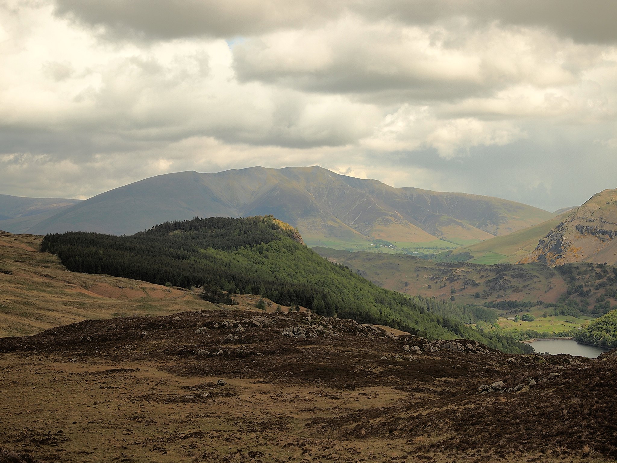
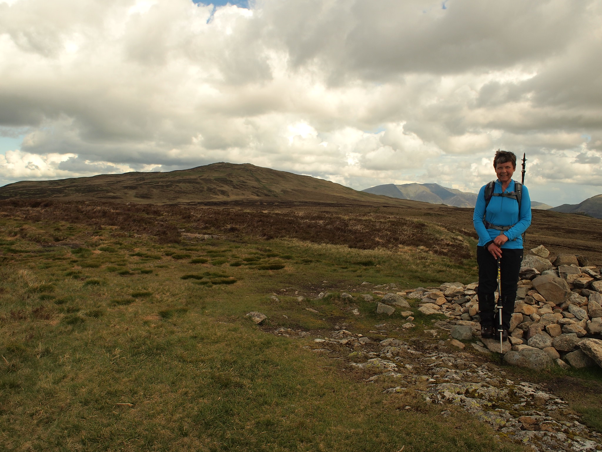
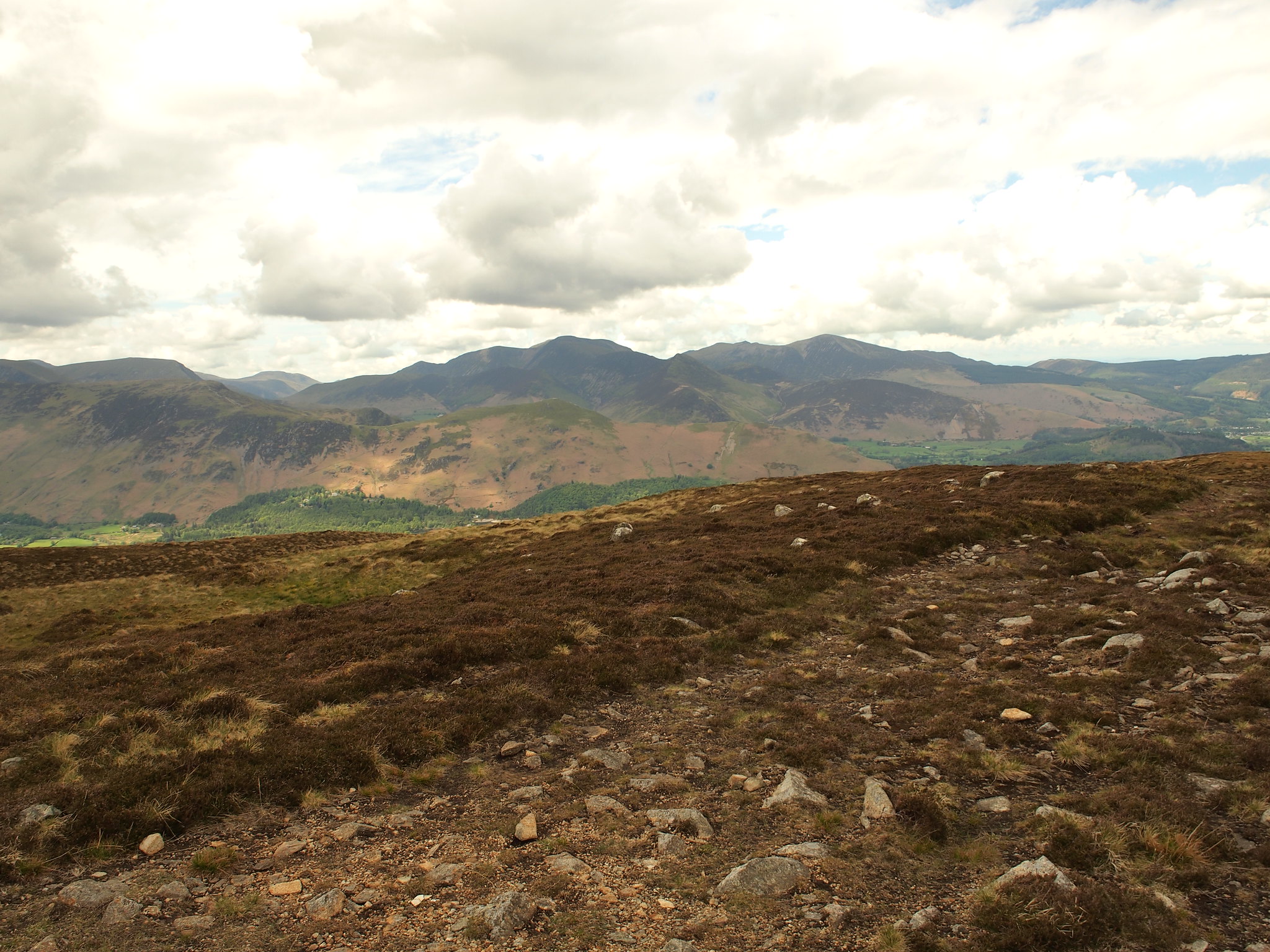
its a lovely spot, photos were taken then is was off to No:two, High Tove.
This is an easy walk over wettish ground but was nothing compared to what was to come. Twenty mins later we were on the summit. Again the views were superb, similar to the ones we had on Armboth but we could also identify Dale Head and High Spy.
 P5222041
 by
Martin Hawer. On High Tove.
 P5222042
 by
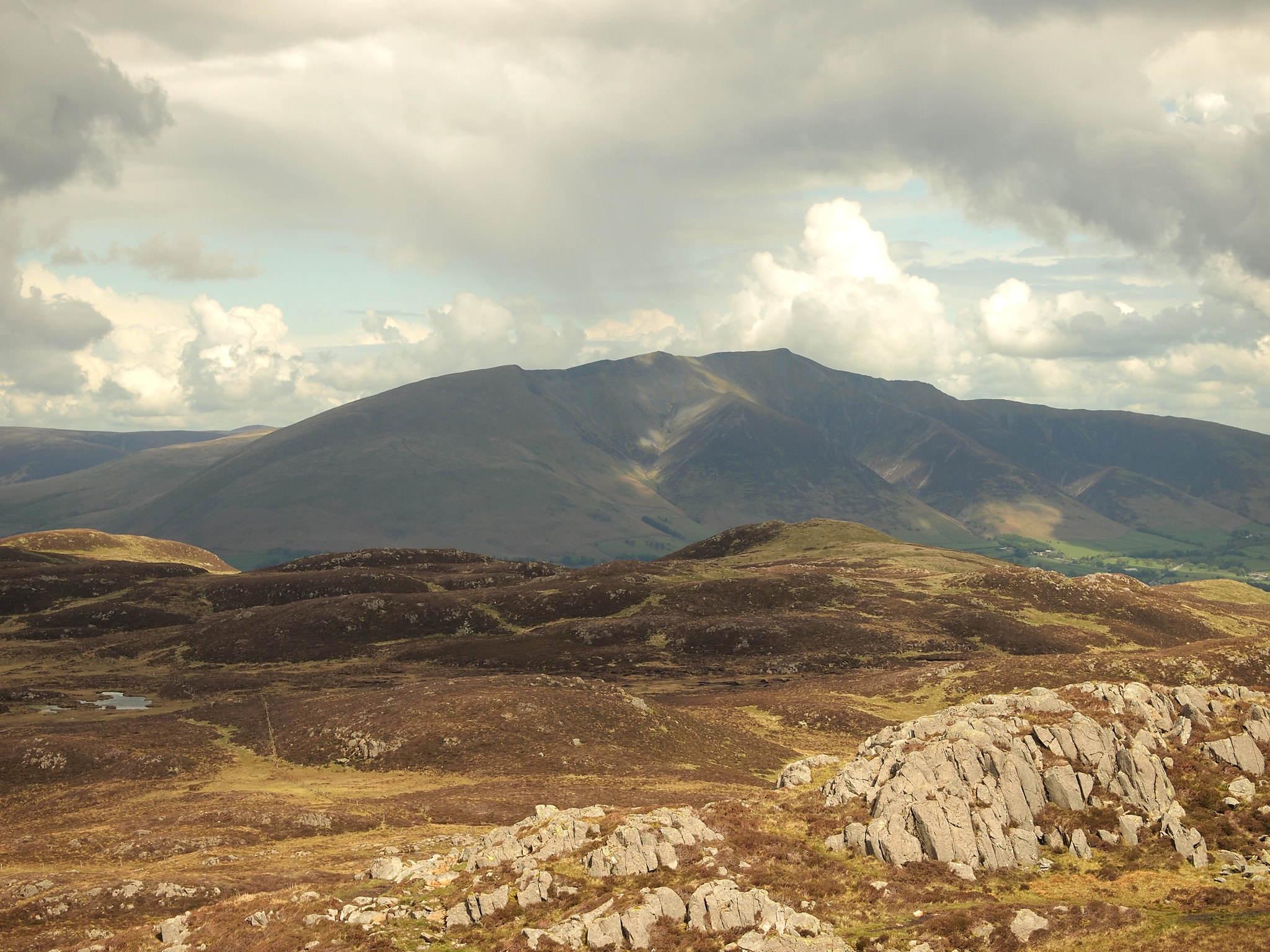
Martin Hawer. Looking at : L to R High Seat, Blencathra and Clough Head.
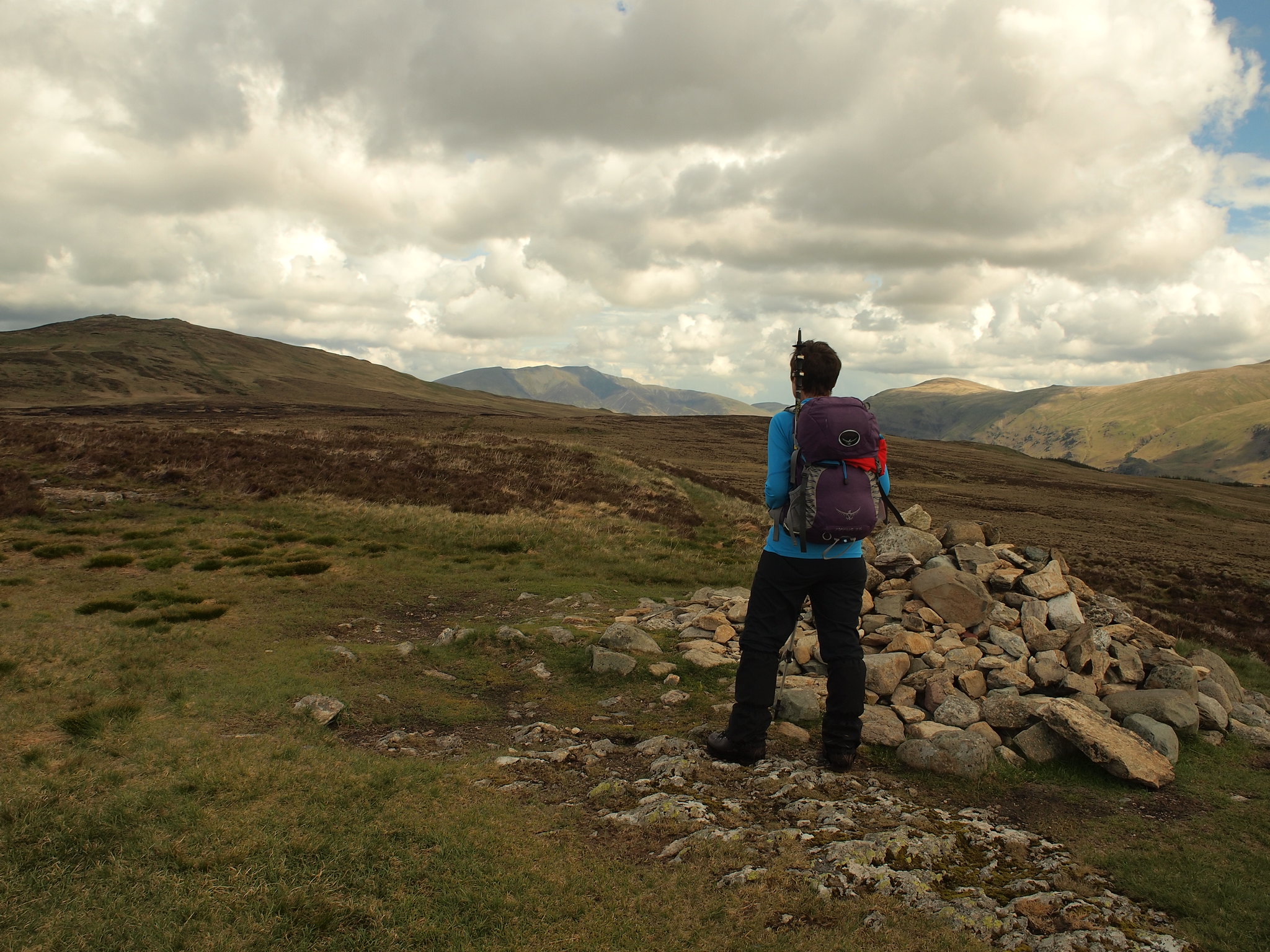
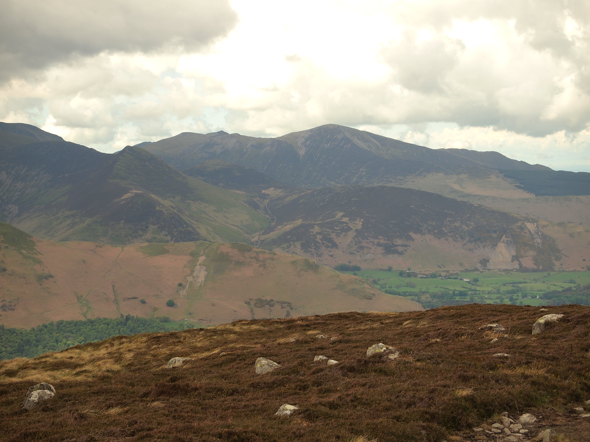
From here High Seat was next and between us are The Pewits, notoriously boggy and proved to be so.
After a lot of bog hopping and squelching we arrived at High Seat. Again, the views were great, with Scafell appearing.
 P5222043
 by
Martin Hawer On High Seat, the weather now improving.
 P5222044
 by
Martin Hawer Looking over to Pillar.
 P5222045
 by
Martin Hawer. Skiddaw.
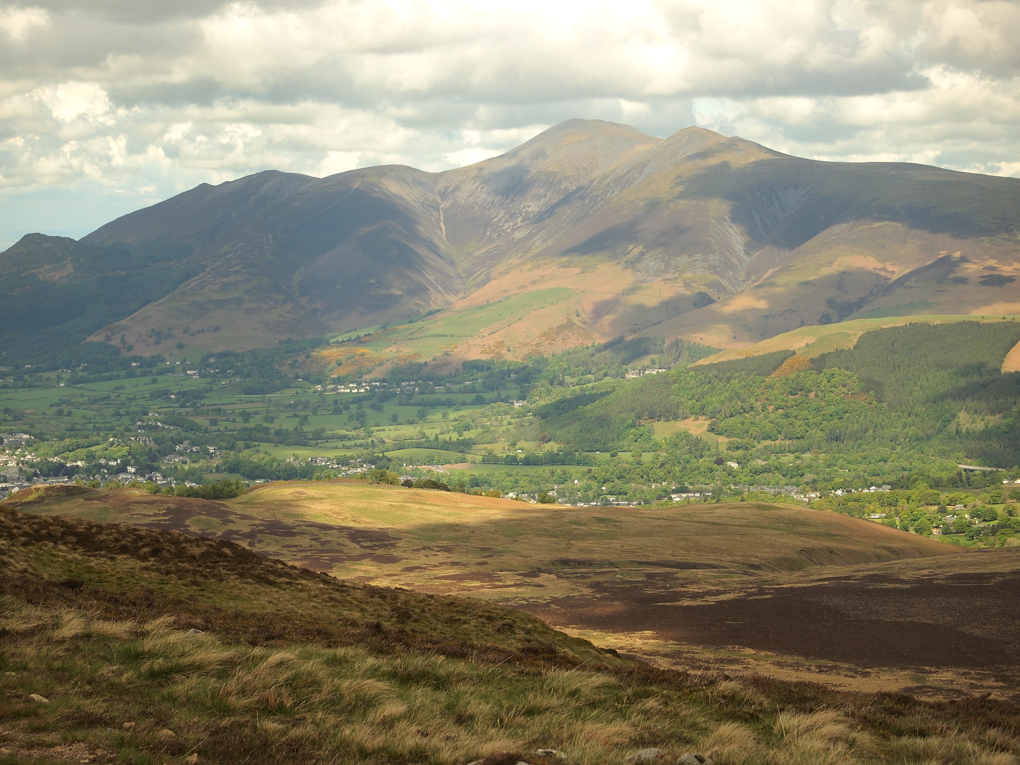
 P5222046
 by
Martin Hawer. Blencathra.
 P5222047
 by
Martin Hawer.
 P5222048
 by
Martin Hawer. Towards Helvellyn, not sure, but I think that's Catstycam poking up.
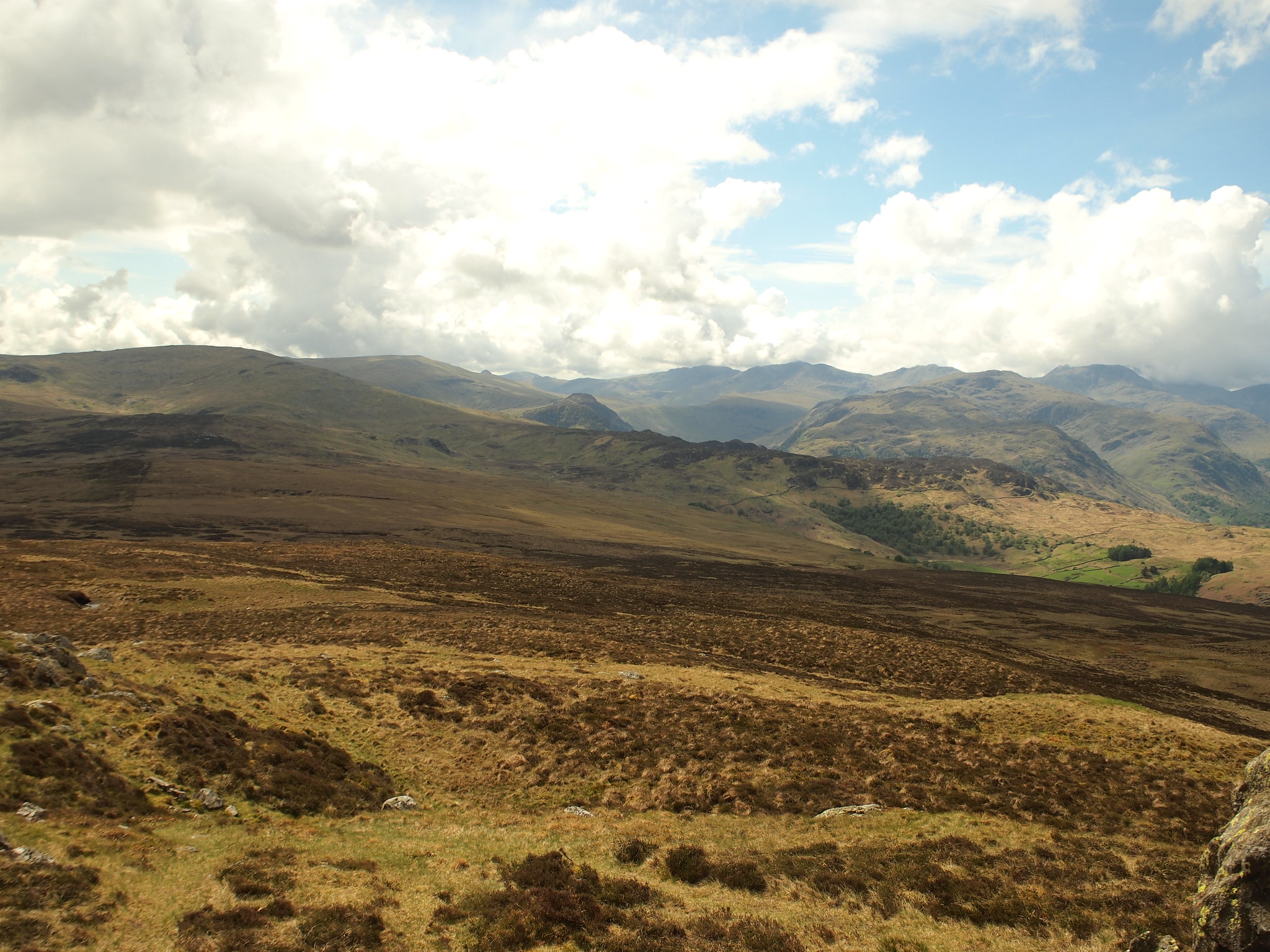 P5222050
 by
Martin Hawer Southern Fells.
The sun was out and there was a light breeze, lovely conditions to walk in. We had some lunch here and enjoyed the piece and quiet.
From High Seat Bleaberry Fell was next, the way over is a bit wet in parts we were on a well trodden path and we soon covered the distance, we met a few people on this section, infact compared to earlier it was getting busy.
Bleaberry Fell is good for views of Blencathra, Skiddaw, Grisedale Pike, Crag Hill, Causey Pike and little Catbells.
 P5222051
 by
Martin Hawer. Denise on Bleaberry Fell.
 P5222052
 by
Martin Hawer Skiddaw.
 P5222053
 by
Martin Hawer R to L Grisedale Pike, Crag Hill, Causey Pike, Catbells below the skyline.
 P5222054
 by
Martin Hawer. Grisedale Pike zoomed.
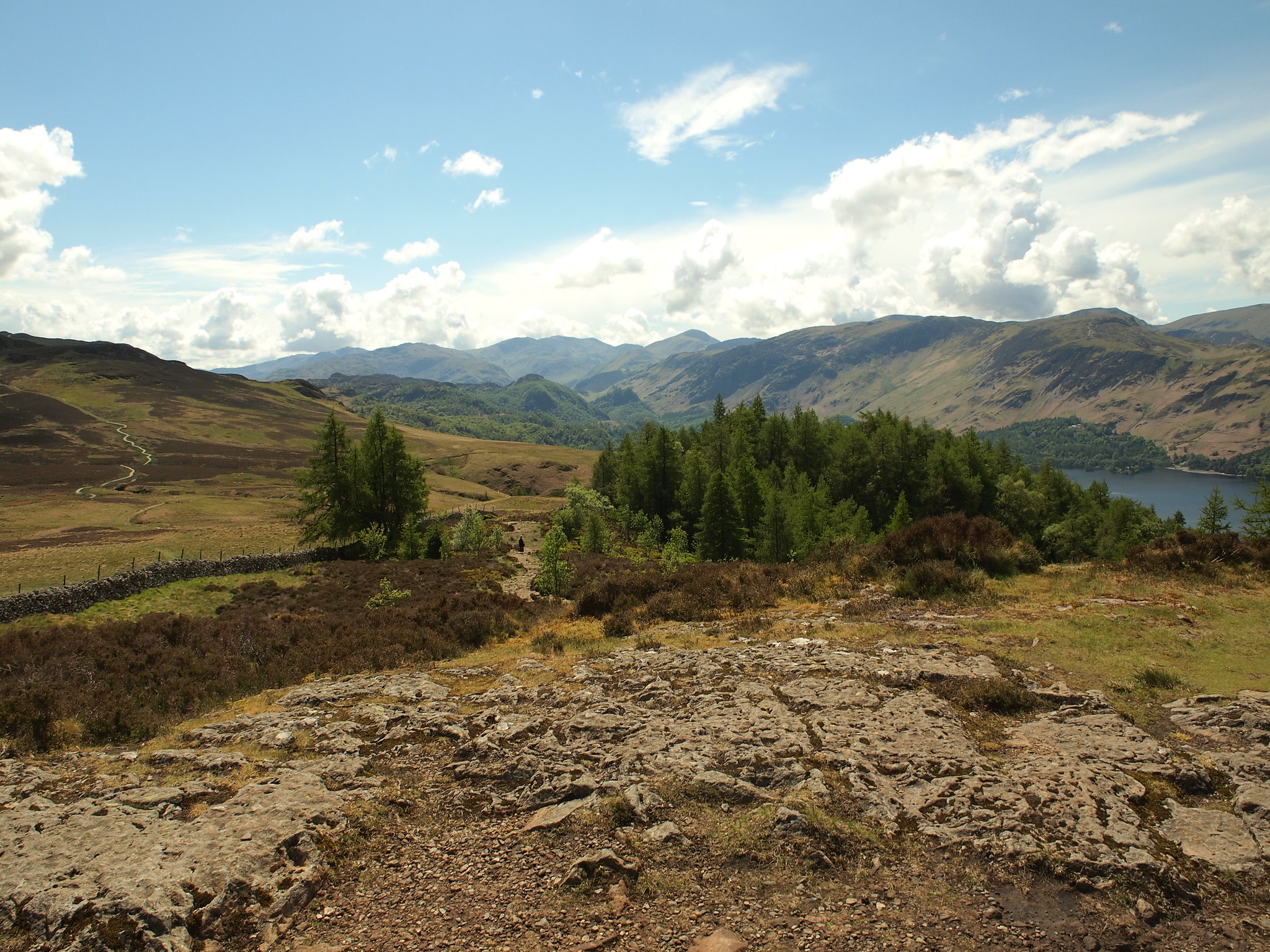
 P5222055
 by
Martin Hawer Towards the Gables and the Scafells.
 P5222056
 by
Martin Hawer Blencathra again but closer, a nice looking mountain.
 P5222057
 by
Martin Hawer Sikddaw looking majestic.
We could see Walla Crag from here and the well constructed path leading to it so we decided to add this one too, so off we went down the steep front of Bleaberry Fell knowing we had to reascend this on the way back, it was only 1pm so we had plenty of time.
It only took half an hour to get to Walla Crag and when we arrived there were quite a few people on the top, a popular little hill this, and the views are pretty good too.
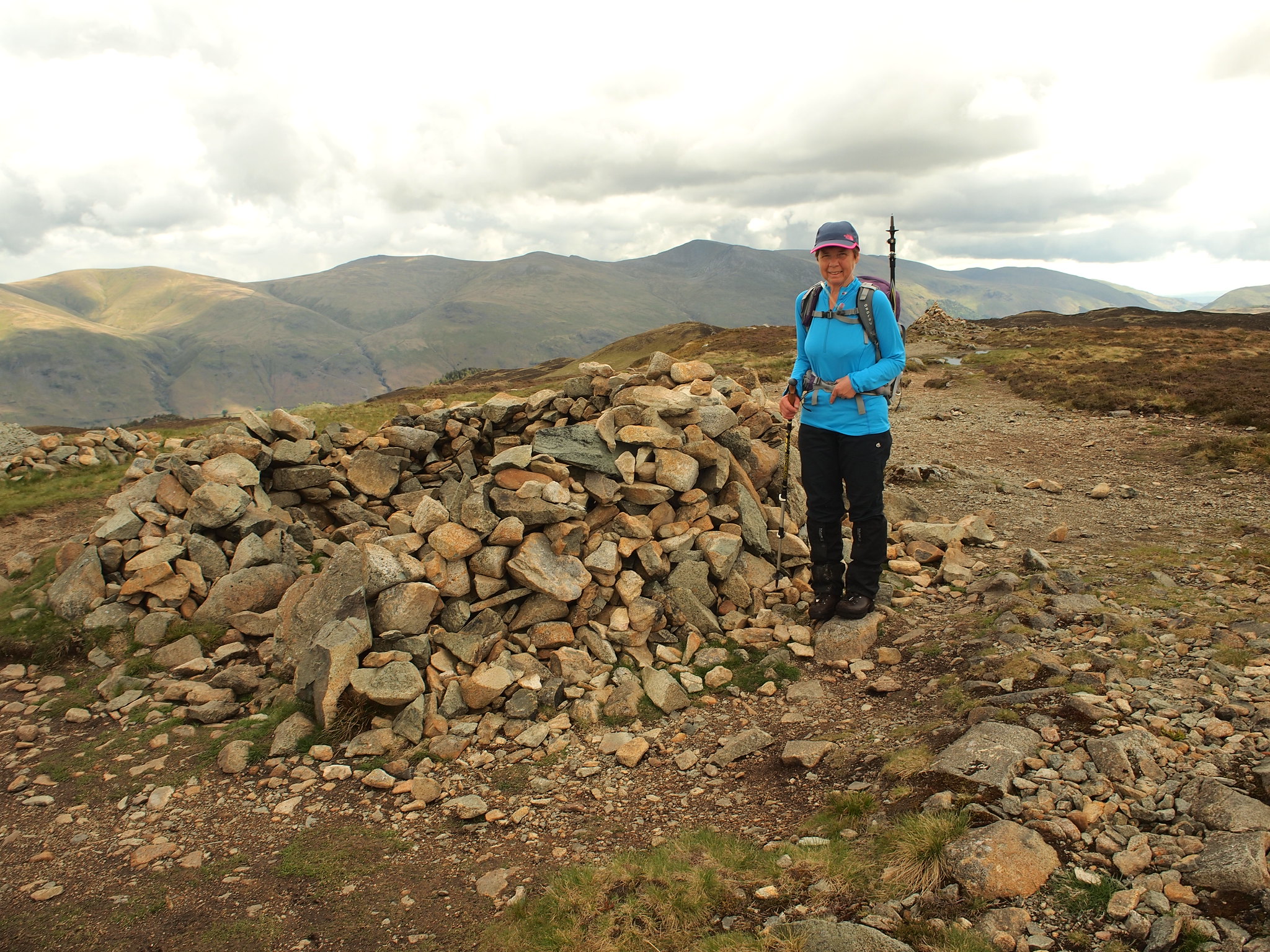
 P5222058
 by
Martin Hawer. On Walla Crag, Bleaberry Fell Behind.
 P5222059
 by
Martin Hawer. Towards Maiden moor, Dale head and Robinson.
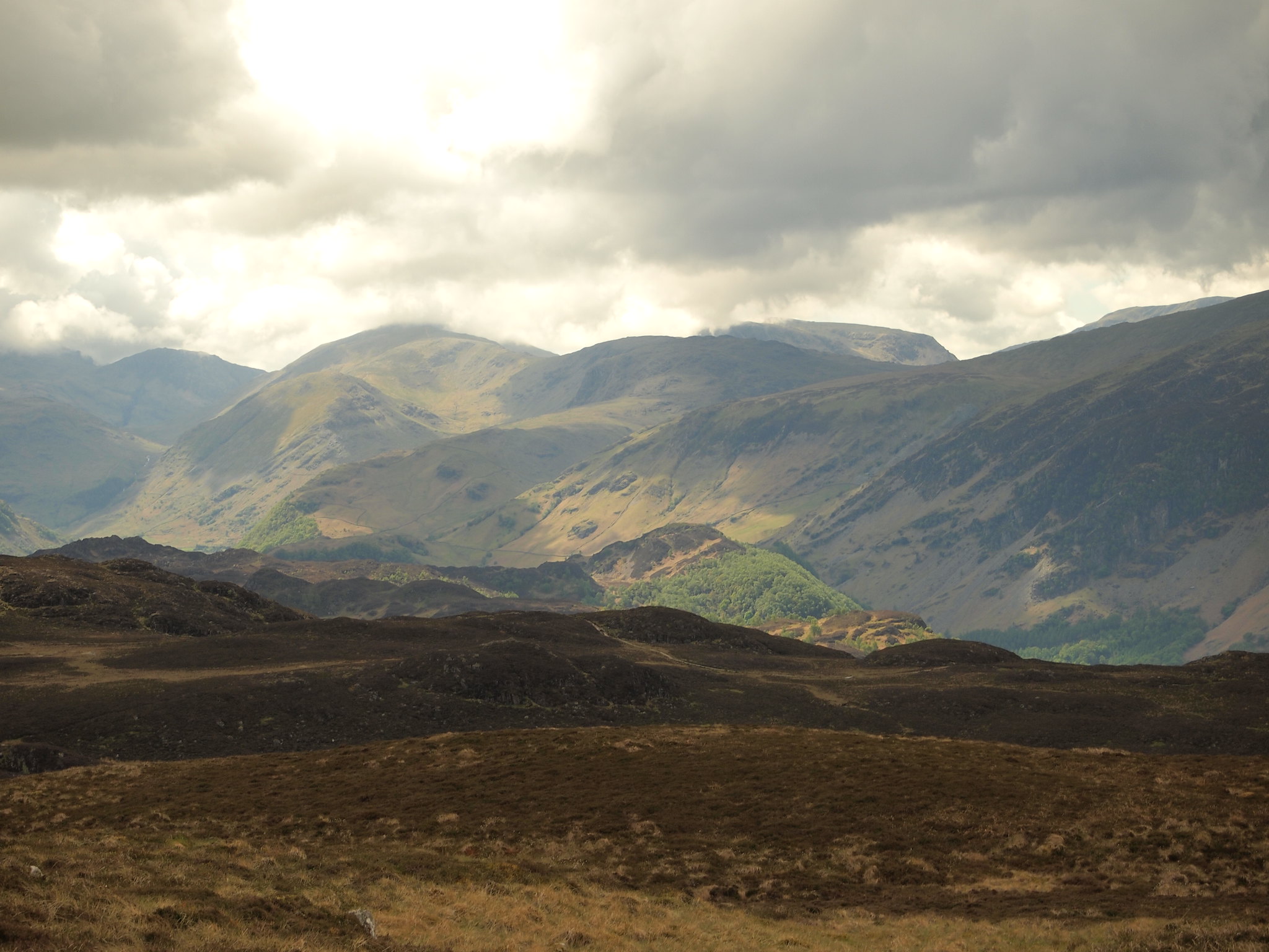
Looking back to Bleaberry it looked bloomin' steep, we had to go back over that, after a couple of piccys and a bite we set off to retrace our steps knowing we had to get back to Armboth and beyond. I can tell you, that climb seemed to go on a bit and the legs were starting to ache.
On the summit I thought we'd include Raven Crag on the way back, all we had to do was find the top of Mere Gill and follow it down so we had a go at that. We found Mere Gill and started off down following a line of old metal fence posts. Lower down we could see the forest track we wanted above Southwaite Gill so took a direct line towards it. I knew it was going to be steep but when we arrived at the top of the steep section it was silly steep and the distance between us and the track, although not that far just looked uninviting with the very steep descent and re-ascent.
 P5222060
 by
Martin Hawer The steep bit, the forest track and THE void.
 P5222061
 by
Martin Hawer The Dodds from above Southwaite Gill.
So we decided to leave Raven Crag for another day so headed for Fisher Gill keeping high using the top of the treeline as an aid.
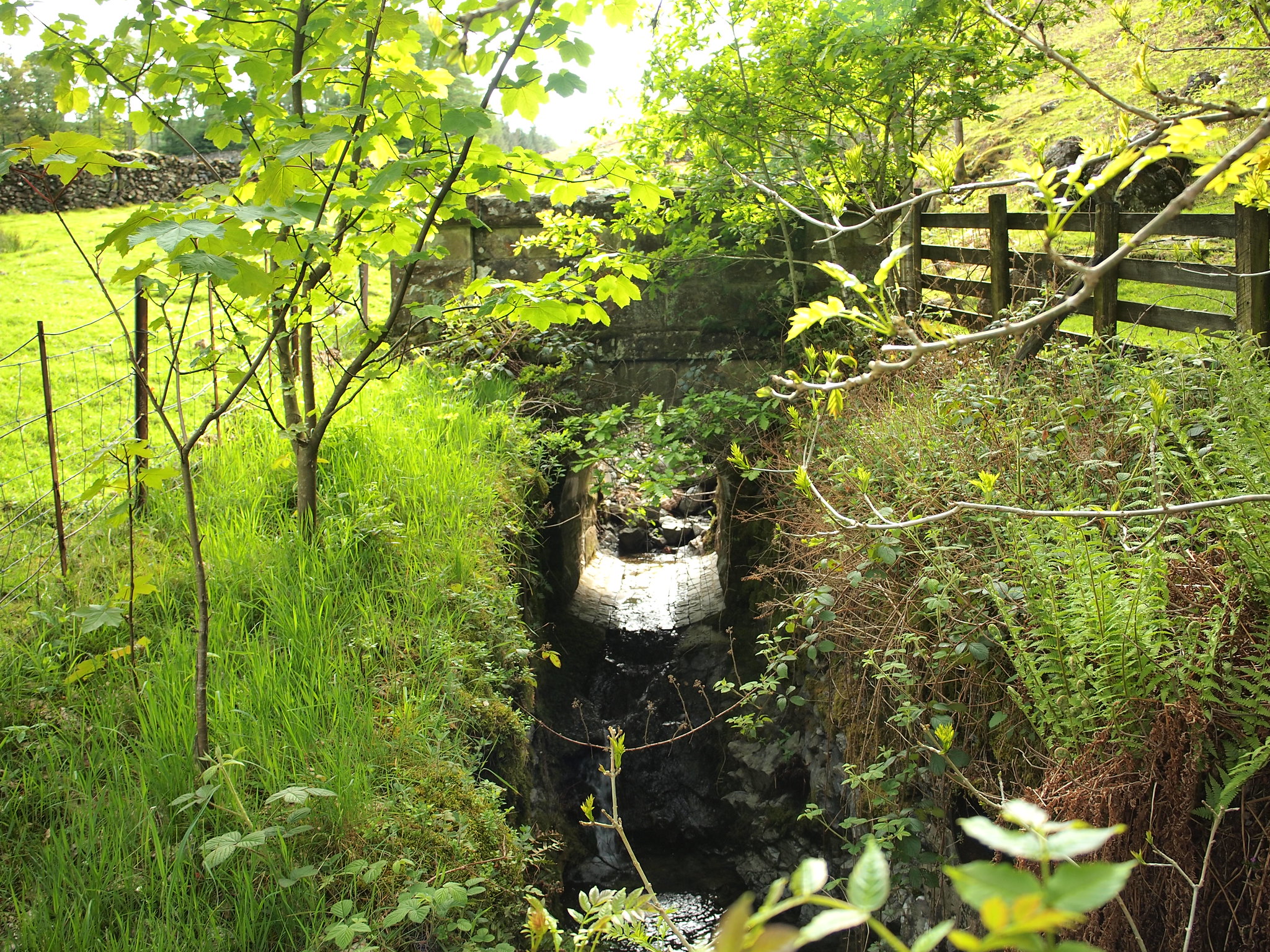
We were heading for the path that comes up from Armboth to High Tove and after a much longer tussocky walk than we anticipated we finally got there and followed it down to the road. This is a good path but loose and bouldery, it was a bit of a test on tired legs and we looked like stumbling drunks by the time we reached the road.
At the bottom the path goes over a little bridge spanning Middlesteads Gill, its a nice little bridge looking like a Victorian river bridge in minature.
 P5222063
 by
Martin Hawer. The little bridge.
Once on the road it was a march along it back to the car.
We really enjoyed this day in the hills and it proved the lower fells are equally as interesting as the biggar ones, its a pity we didn't manage Raven Crag but that gaping void between us and the forest track seemed to be getting wider as we stared at it, not much fun on tired legs.
It's Skye next, lets hope the weather behaves.

