free to be able to rate and comment on reports (as well as access 1:25000 mapping).
Plan today was to give the dogs a rest, and climb The Nab via Rest Dodd - we figured that it would be a less stressful walk without them since you are encouraged to keep dogs on leads when in the Red Deer reserve...
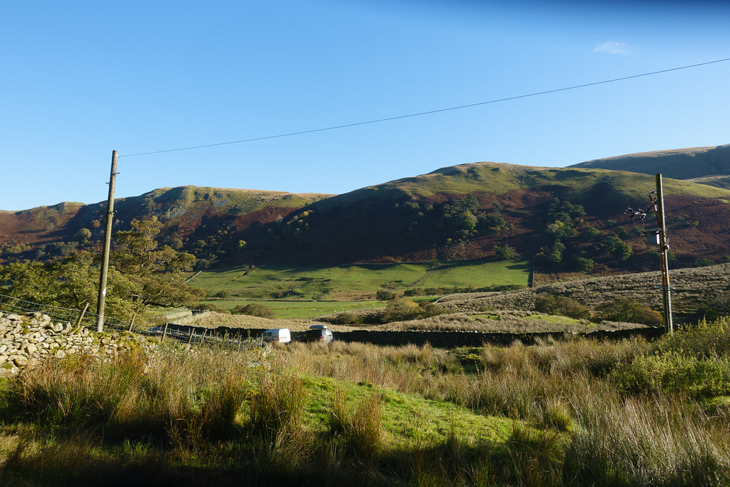 Parked at Dale Head
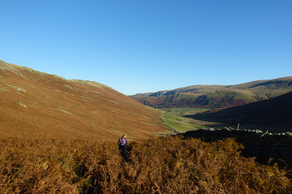
We made an earlyish start from Dale Head Farm, climbing up the valley route to Angle Tarn.
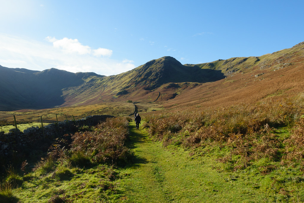 Setting off up the valley
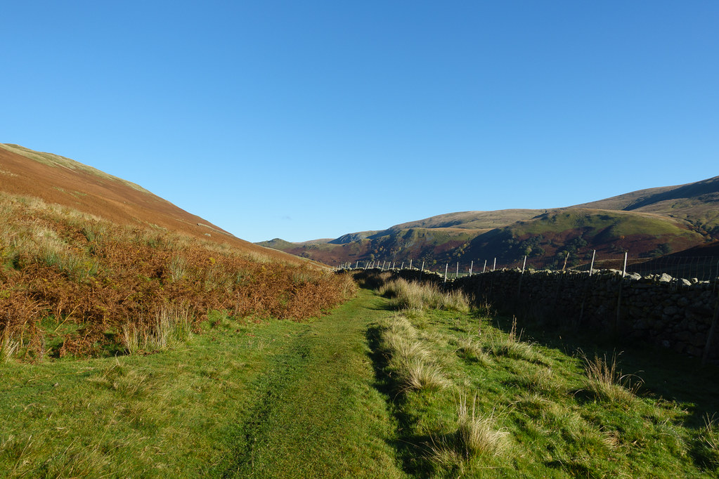 Looking back
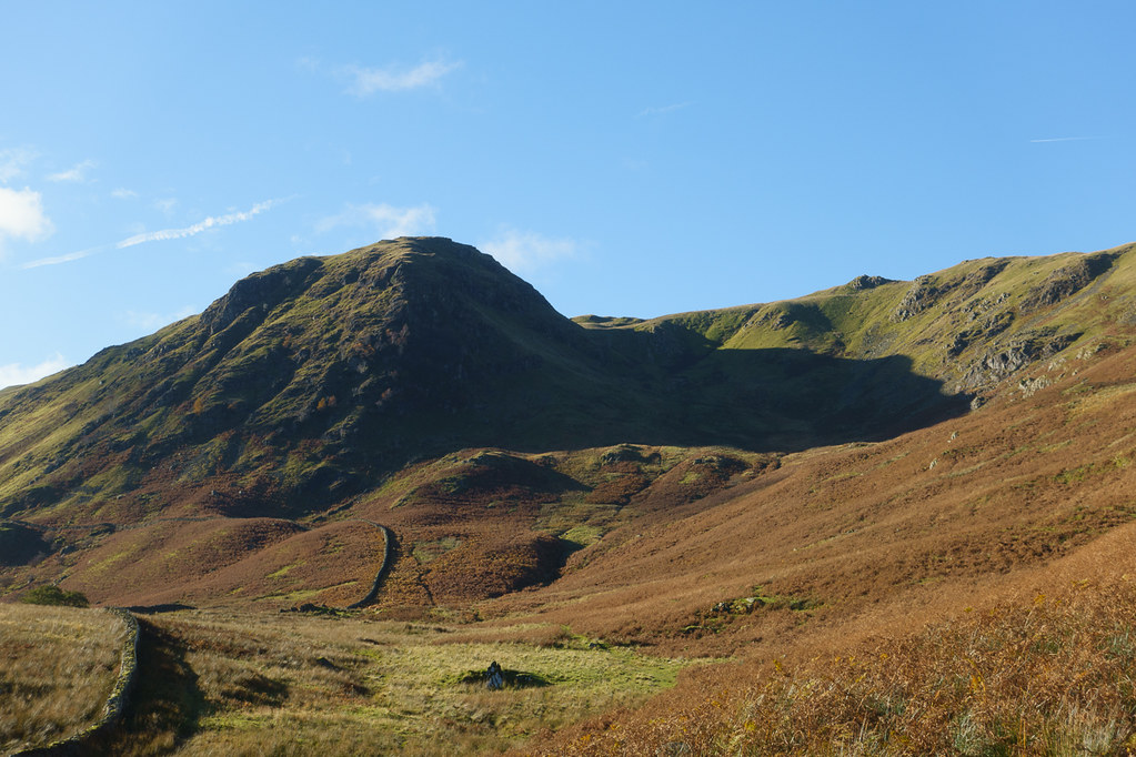 Heck Cove
Lorraine was convinced that the shadow in Heck Cove looked like a face. I couldn't see it myself.
 Climbing through the Heather
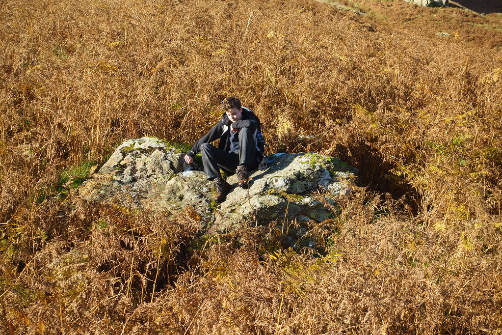 Waiting on a rock
The path followed a wall along the valley floor for a while, then set off steeply up the hillside. At times the path was a little vertiginous as it crossed a fairly steep hillside below Heck Crag.
 Narrow path
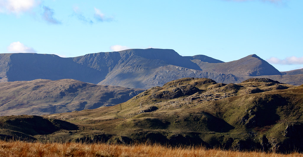
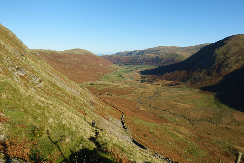 Bannerdale
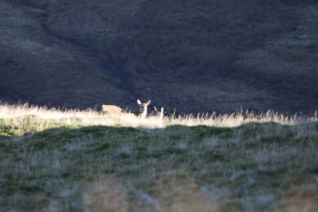
We had our eyes peeled for deer - looks like they had their eyes peeled for us too.
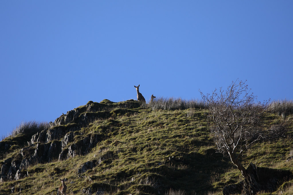 Nosey Deer
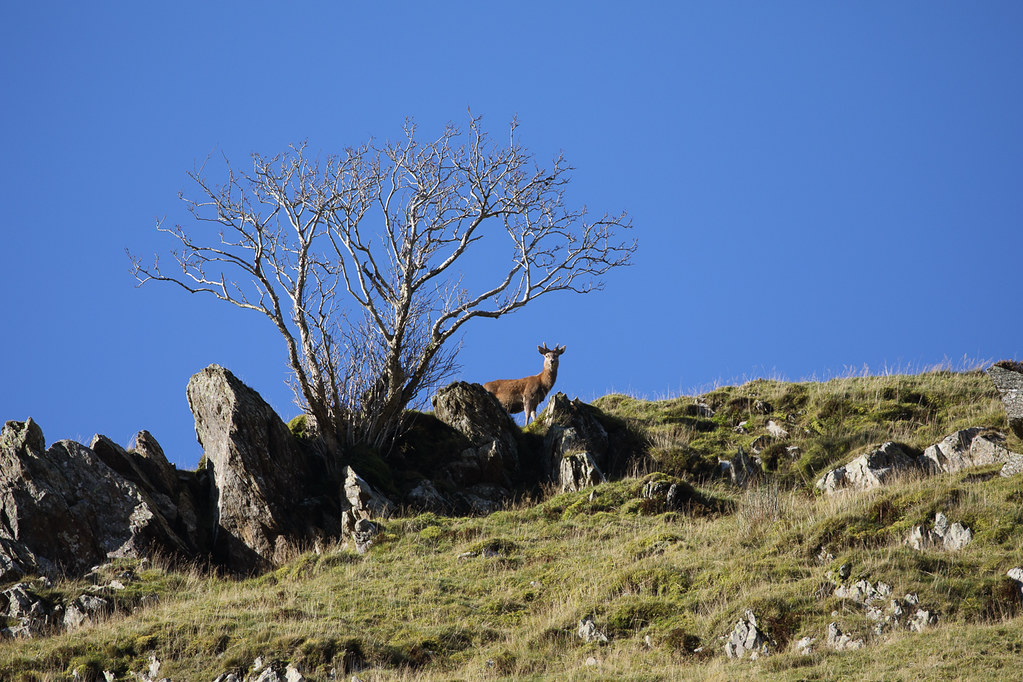 Deer on the skyline
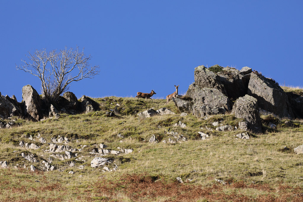 More deer on the skyline
The ravens were having great fun above us - it looked as if they turned upside down every so often just for fun.
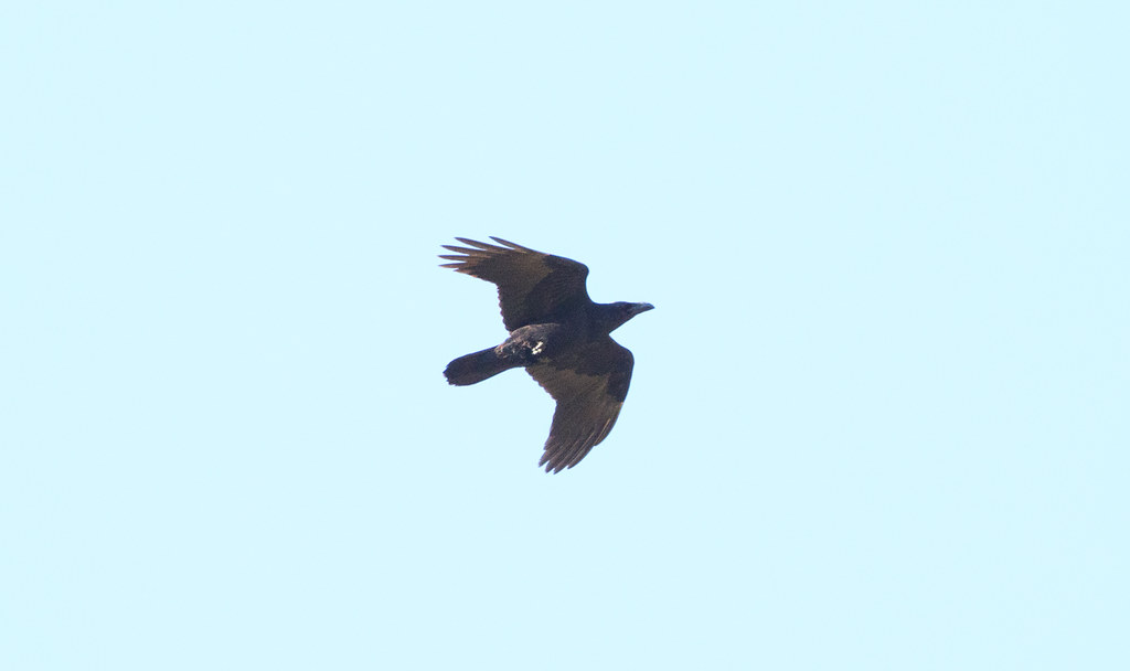 Raven
RavenInteresting to see a kestrel hovering from above - not the viewpoint I am used to!
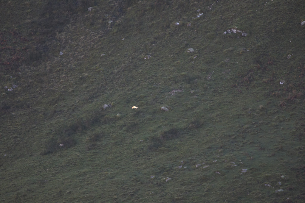 Looking down on a Kestrel
Near the top of the path and Thomas was complaining of a headache. I persuaded him to hold out until just over the next rise as there was a good view promised.
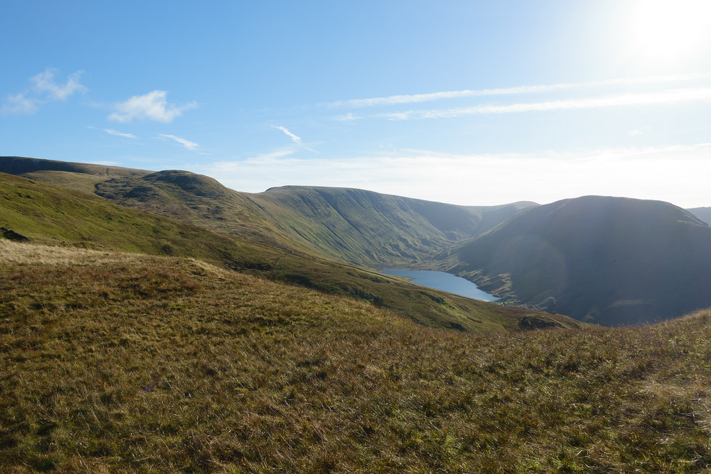
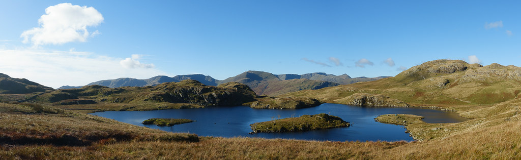 Angle Tarn panorama
The view didn't disappoint. Wainwright recommends this path for ascent (to Angletarn Pikes) because of the delightful surprise when Angle Tarn appears, and I can certainly agree.
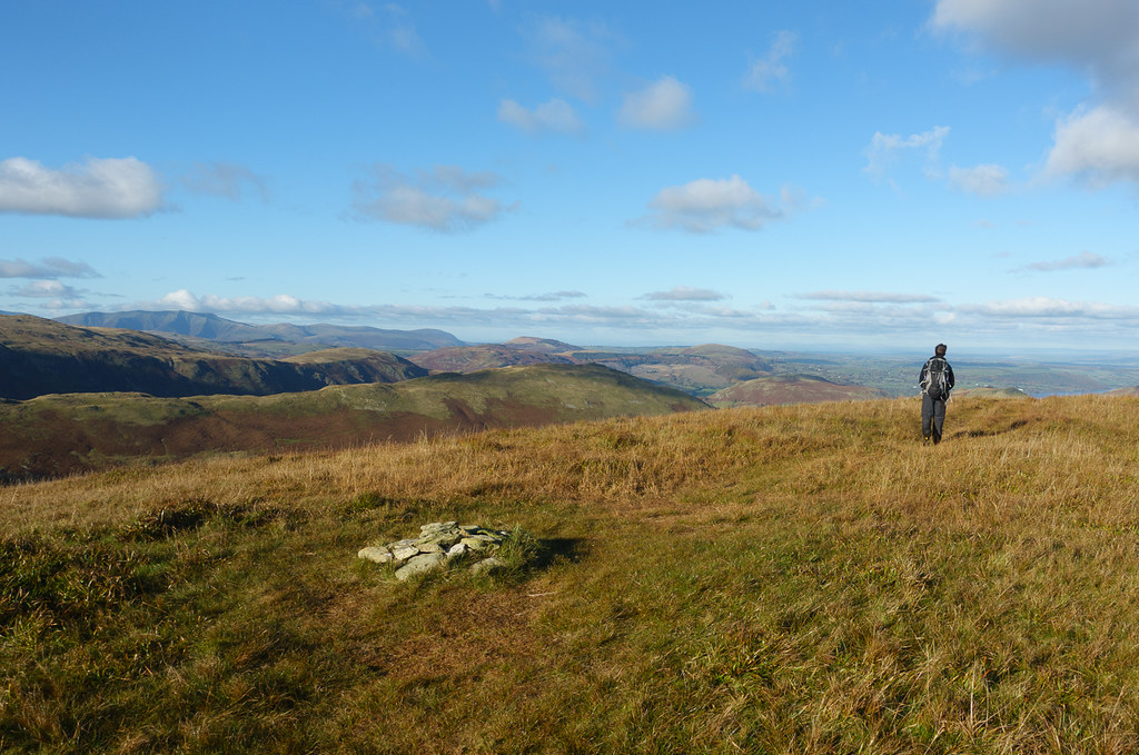
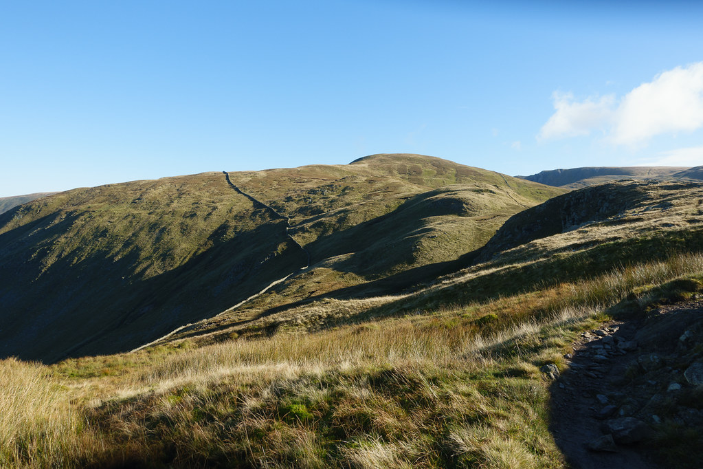 Rest Dodd
From Angle Tarn the path to Rest Dodd was well defined, though still quite a bit of climbing to be done.
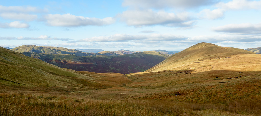
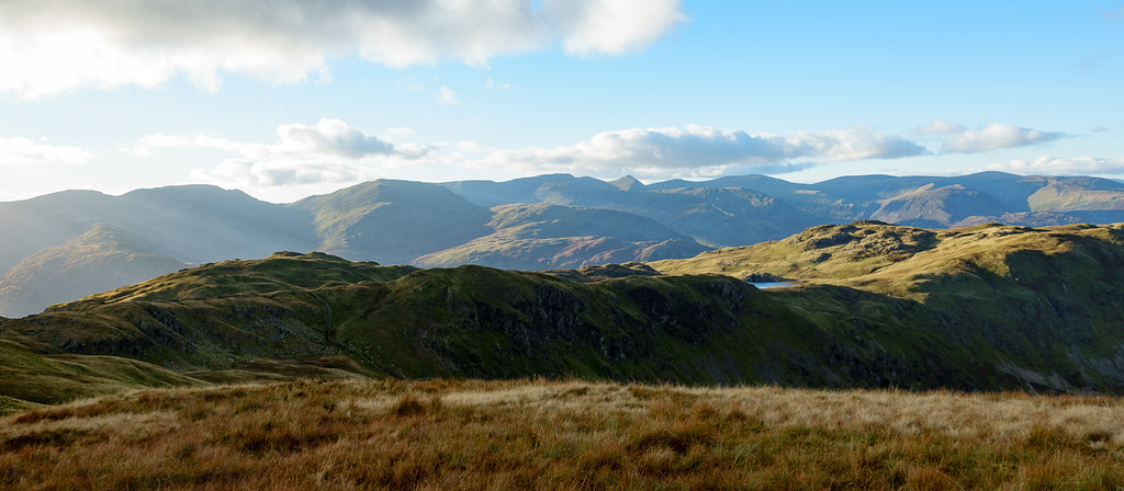
 Bannerdale
Nice views back down the valley.
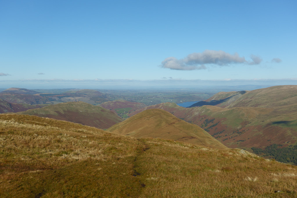
 Hayeswater
Views across to High Street and its satellites too.
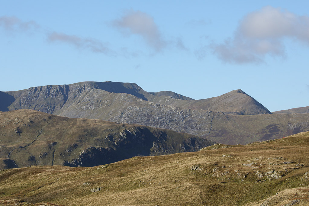 Helvellyn and Catstycam
And great views of the Helvellyn area. Catstycam always looks impressive from this angle.
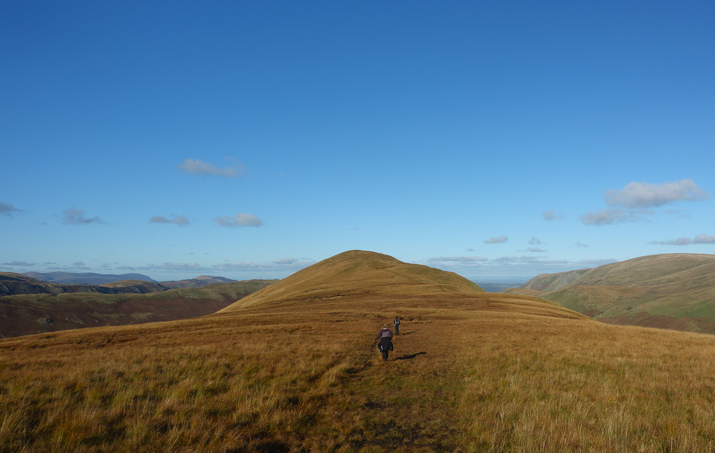
 The Nab, from Rest Dodd
After a short climb we reached the summit of Rest Dodd. Views of The Nab, and of a few scattered deer in the distance.
 Rest Dodd summit
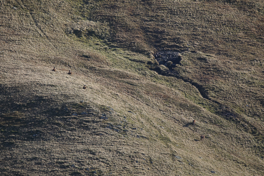 Deer in the distance
The path down to The Nab's ridge was quite steep, but eventually we reached the wall that marks the boundary of the Red Deer reserve - a collapsed signpost announced it.
 More Deer in the Distance
From the wall we could see deer in the valley below.
 Deer in the sunlight
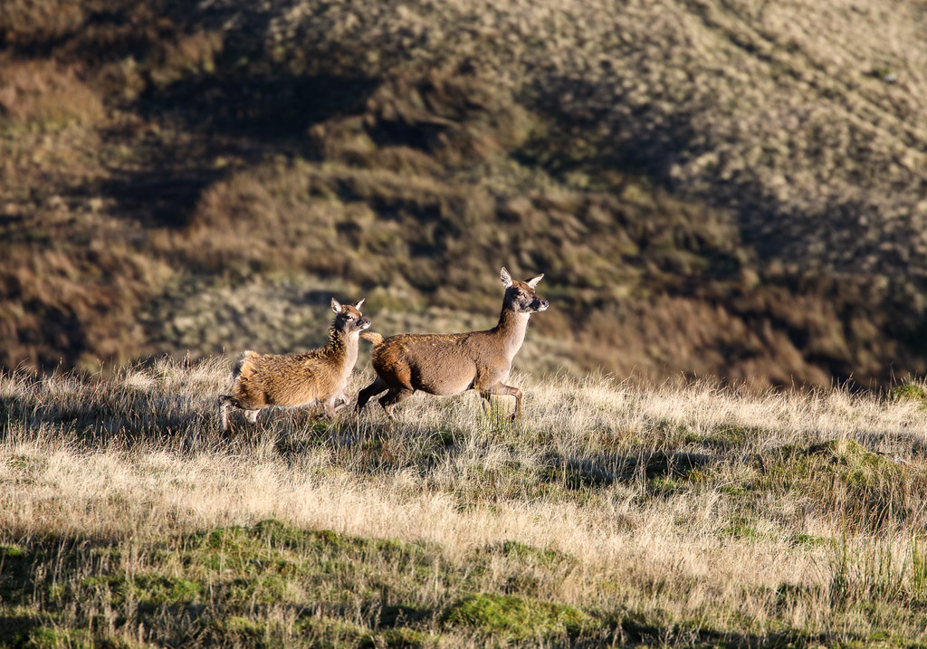 More Deer
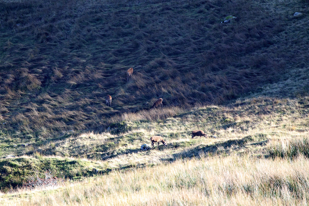
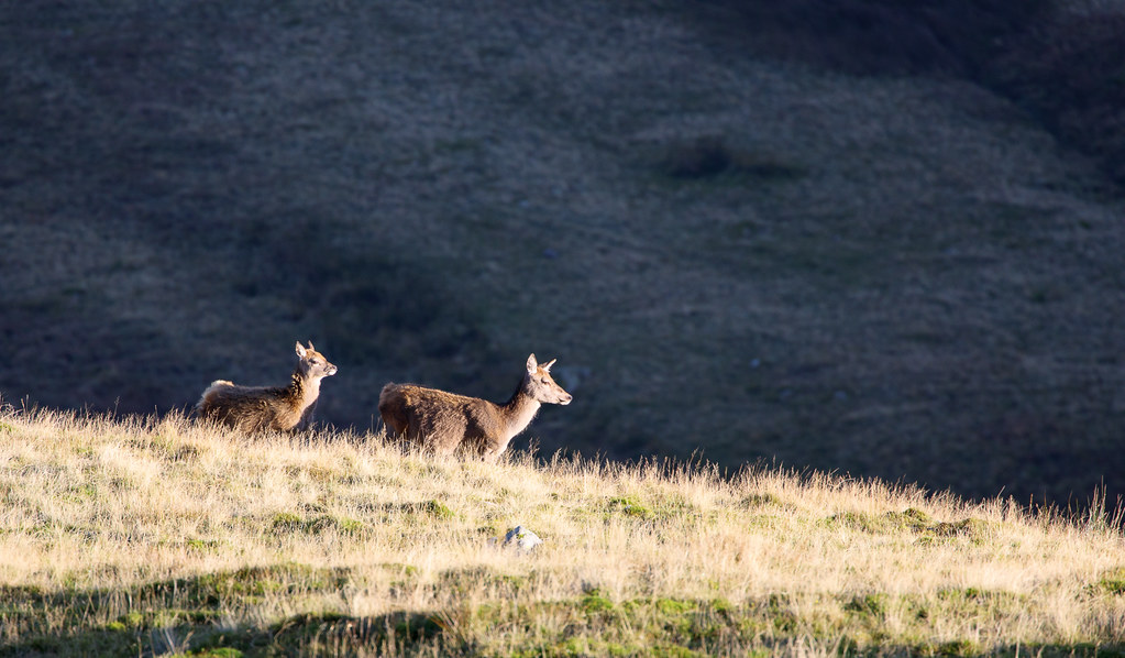 Still more Deer
And as we descended we caught glimpses of deer rather closer to us on the slopes of The Nab.
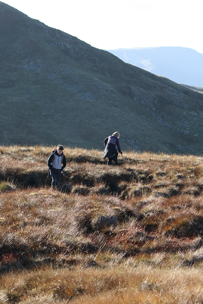
 Along the ridge to The Nab
The ridge to The Nab was rather boggy in places.
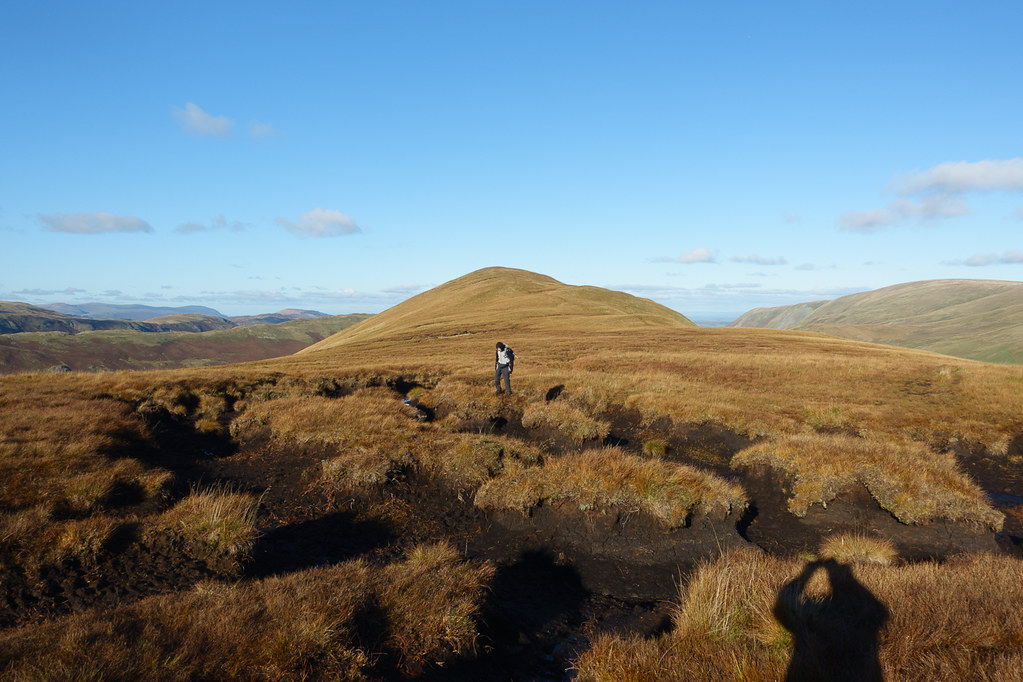 Giant Peat Hags
Trying to detour around the bogs proved to be a mistake - much easier to just follow the path and brave the black bits (which were a lot more solid than they looked)
 Lost in the bog
Nice views of Helvellyn area throughout.
 Helvellyn and Catstycam, from The Nab
At the top of The Nab, Lorraine and Thomas were disappointed to learn that there was no other way down from The Nab than to retrace our steps - but with no path listed in Wainwright or visible on the OS maps I was not confident trying to find any alternative way down, even if I had wanted to ignore the notices requesting that all access to the Nab was via Rest Dodd (which I did not). Probably the first occasion when they actually WANTED me to find a "Daddy shortcut" and I refused...
Time was getting on though - we had 4.5 miles to get home and only about 2.5 hours of daylight left.
 The Nab - looking for a way down
We headed back the way we had come, cutting off the corner near the wall rather than going back to the top of Rest Dodd.
 Looking back at The Nab
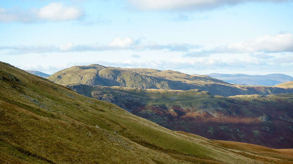 Place Fell
Lovely light on the fells, though that also served to remind me that we were running out of light, so we had to push on.
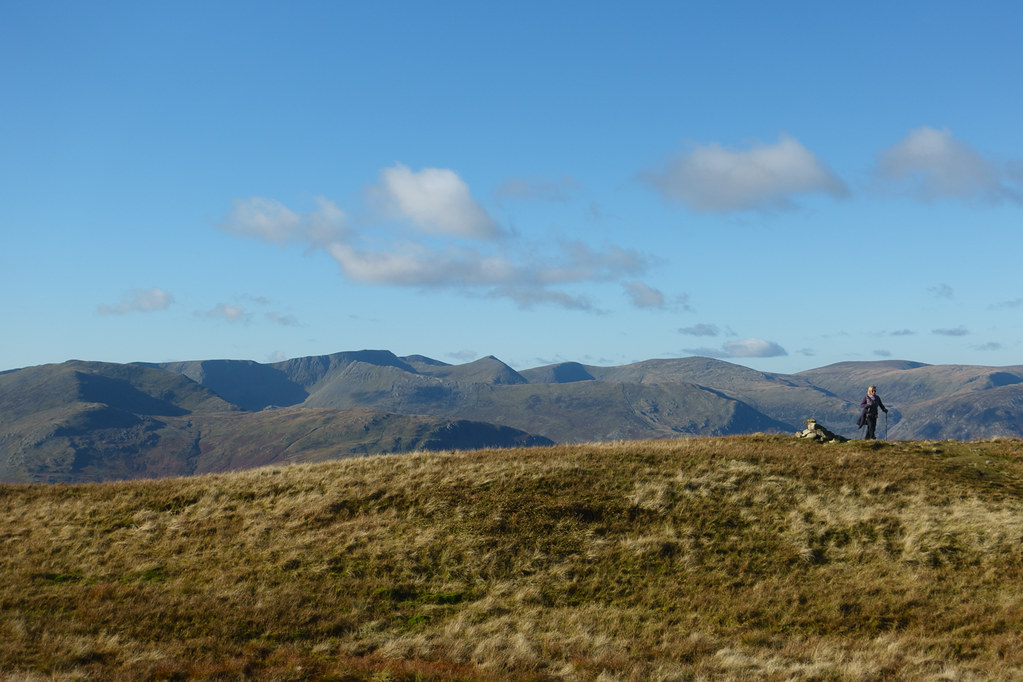
 Satura Crag, Angletarn Pikes, and Helvellyn
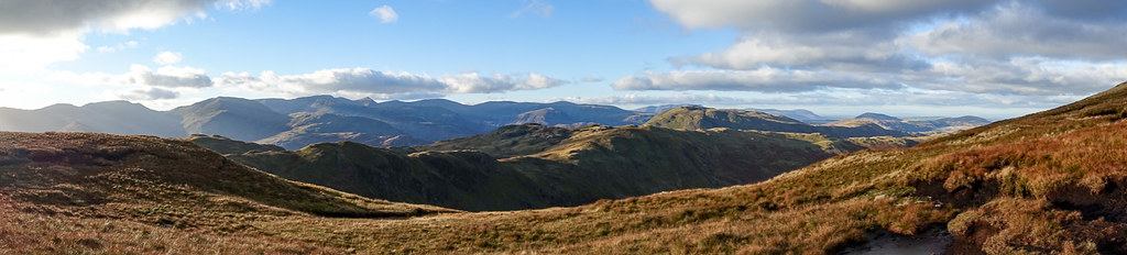 Panorama from Rest Dodd shoulder
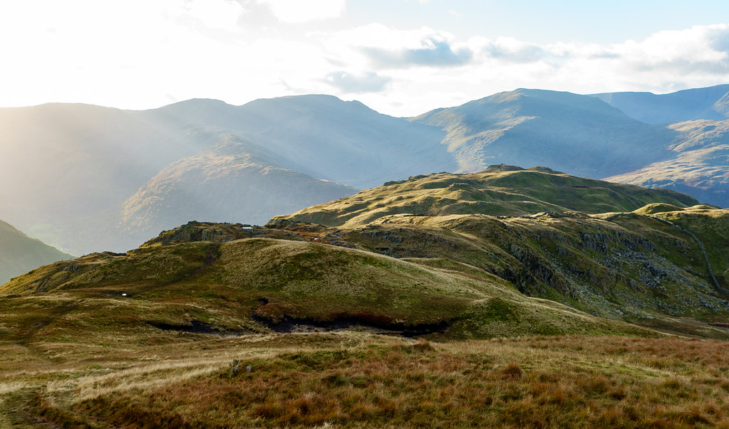 Brock Crags
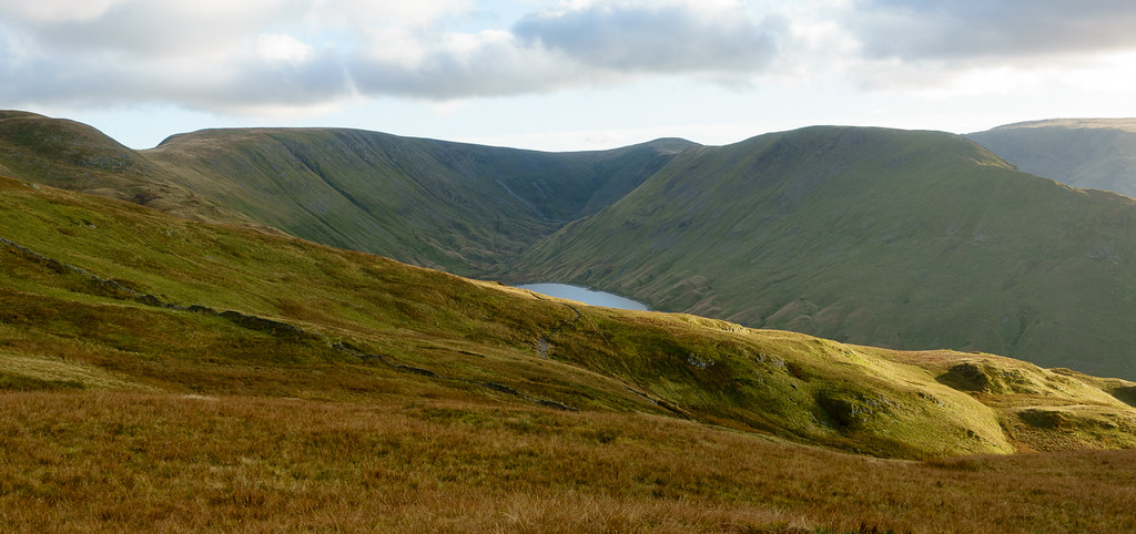 Hayeswater
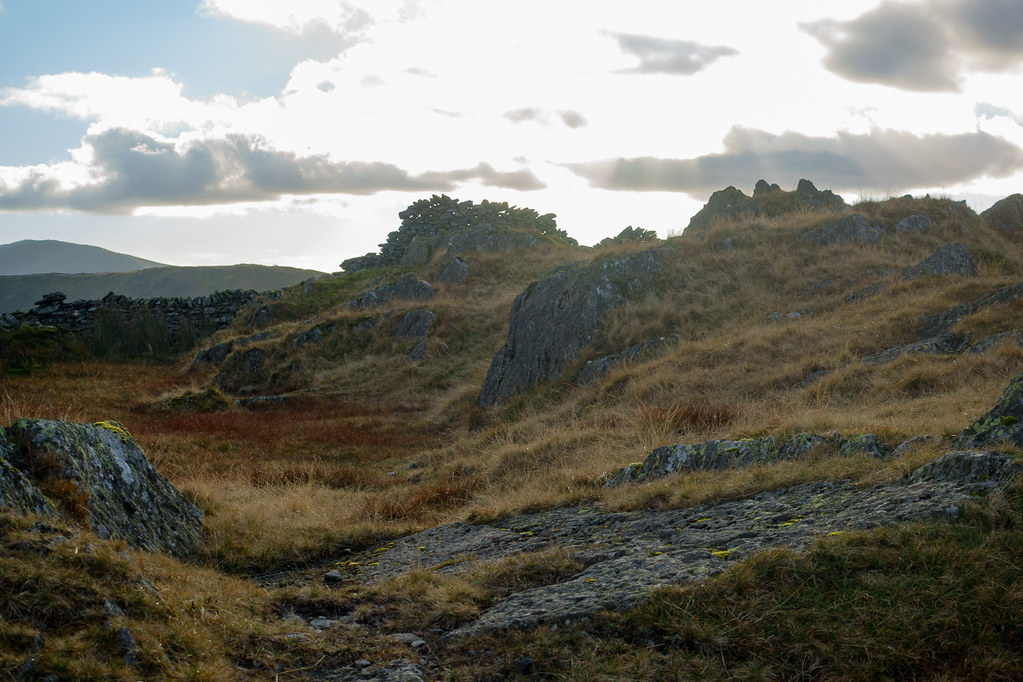 Wall with holes
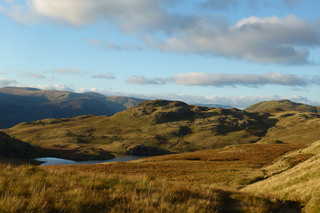 Angletarn Pikes at sunset
Nearly missed the turning at Angle Tarn - GPS saved the day.
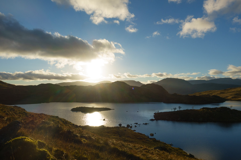 Angle Tarn at sunset
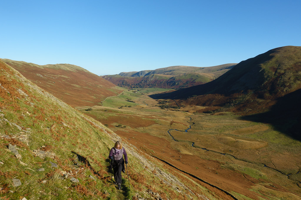
The narrow bits of the path down were just as unpleasant as they had been on the way up - if we had had more time I would have taken the alternative path down via the Beda Fell ridge. But at least we got past it before losing the light.
 Last light on The Nab
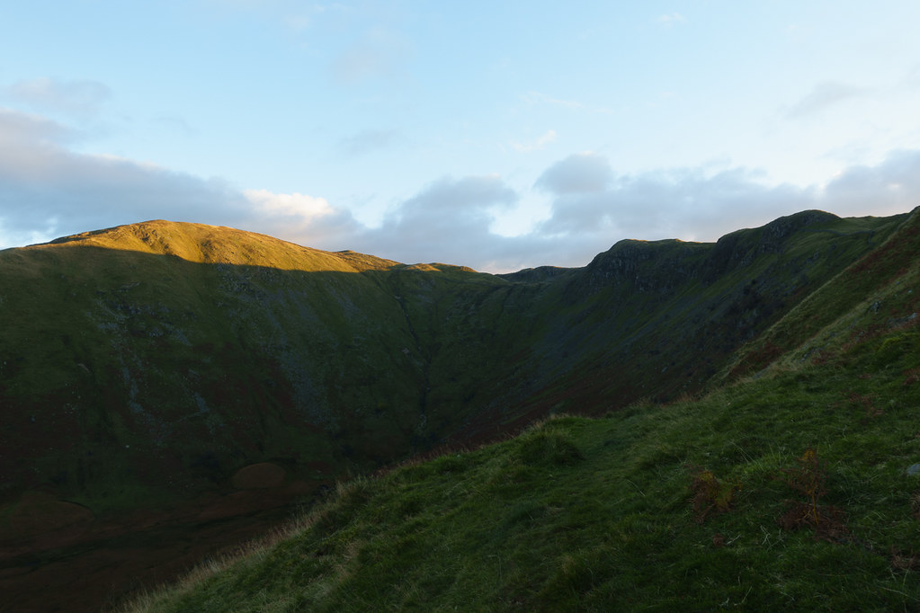 Last light on Rest Dodd
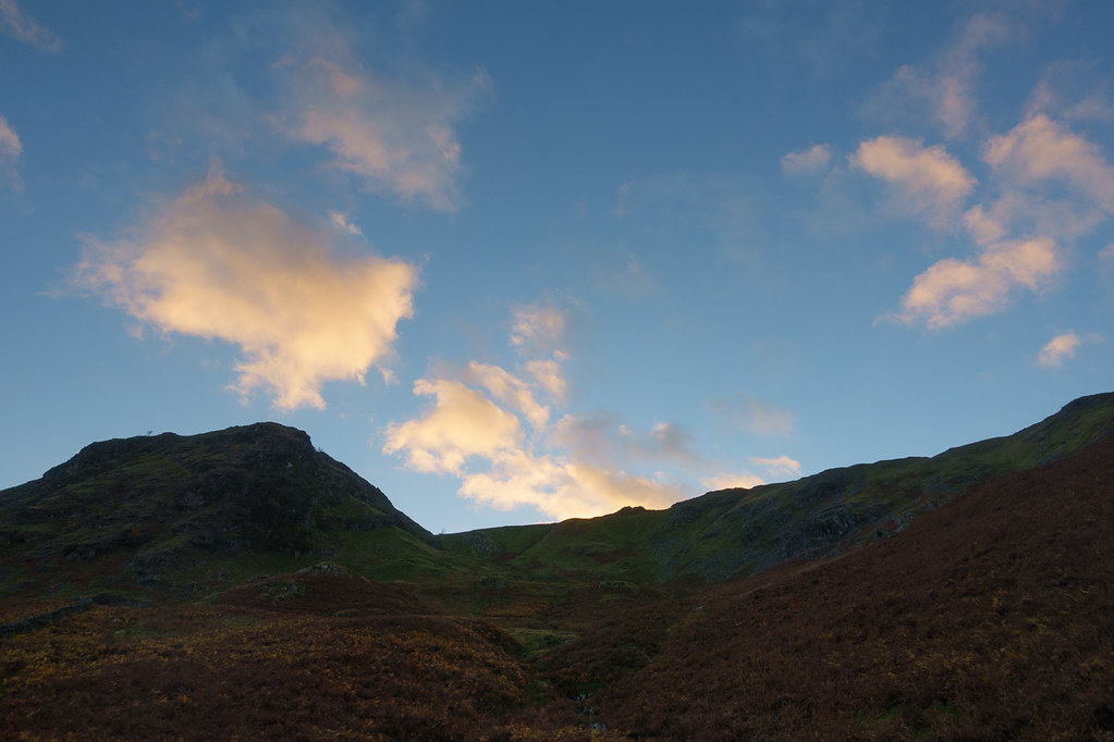 Colourful Clouds
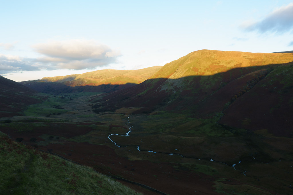
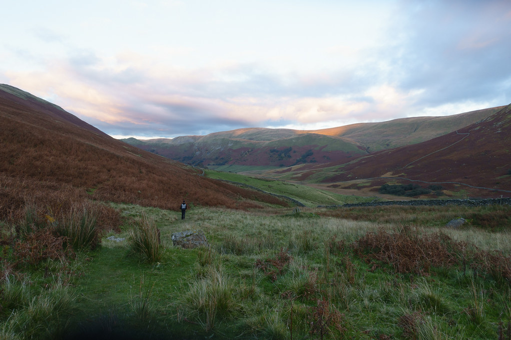 Last light in Martindale
 The Nab - no way down
By the time we got back to the car it was officially 15 minutes past sunset and was starting to get dark.
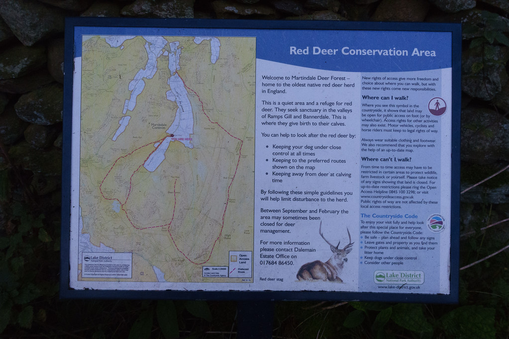 Red Deer Reserve
The walk was rather longer and harder than I had expected - I think I underestimated the amount of ascent/descent required. But the weather was great, and the scenery most enjoyable, and we did get to see a few deer.
