free to be able to rate and comment on reports (as well as access 1:25000 mapping).
This is a little different - not so much a hillwalk, more of a long cross-country walk round the back of Kinder Scout. The idea occurred to me the previous Saturday, when I spent a wet day doing most of the Kinder Trespass Trail, which is a circular walk from New Mills out to William Clough, the trespass site. This included a short section of the Snake Path, and having seen the commemorative sign about the path's history it occurred to me that I had never walked it. The rest of the walk was constructed to arrange a start and finish at a railway station. Encouraged by a much better weather forecast, I got the train to Chinley, and set off up the direct path up Chinley Churn. This is a classic viewpoint for the Kinder plateau that I had never done before. The east side alternates between steep layers scarred by quarries and flatter sections. Reaching the top requires a wall to be crossed - the map suggests a right of way crosses it but there is little evidence of that on the ground. Crossing the wall without damaging it was easy enough, and I was soon at the trig point, enjoyng the views
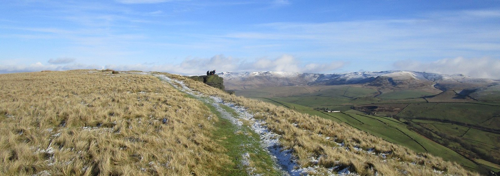
east towards Kinder
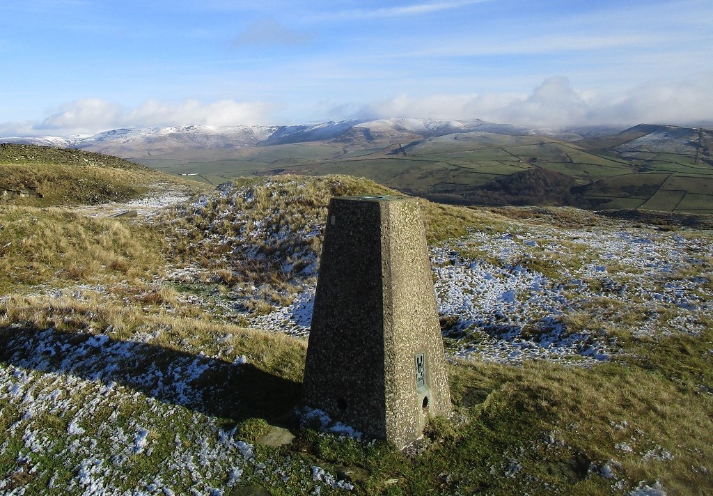 IMG_0566
 by
Beery Hiker, on Flickr
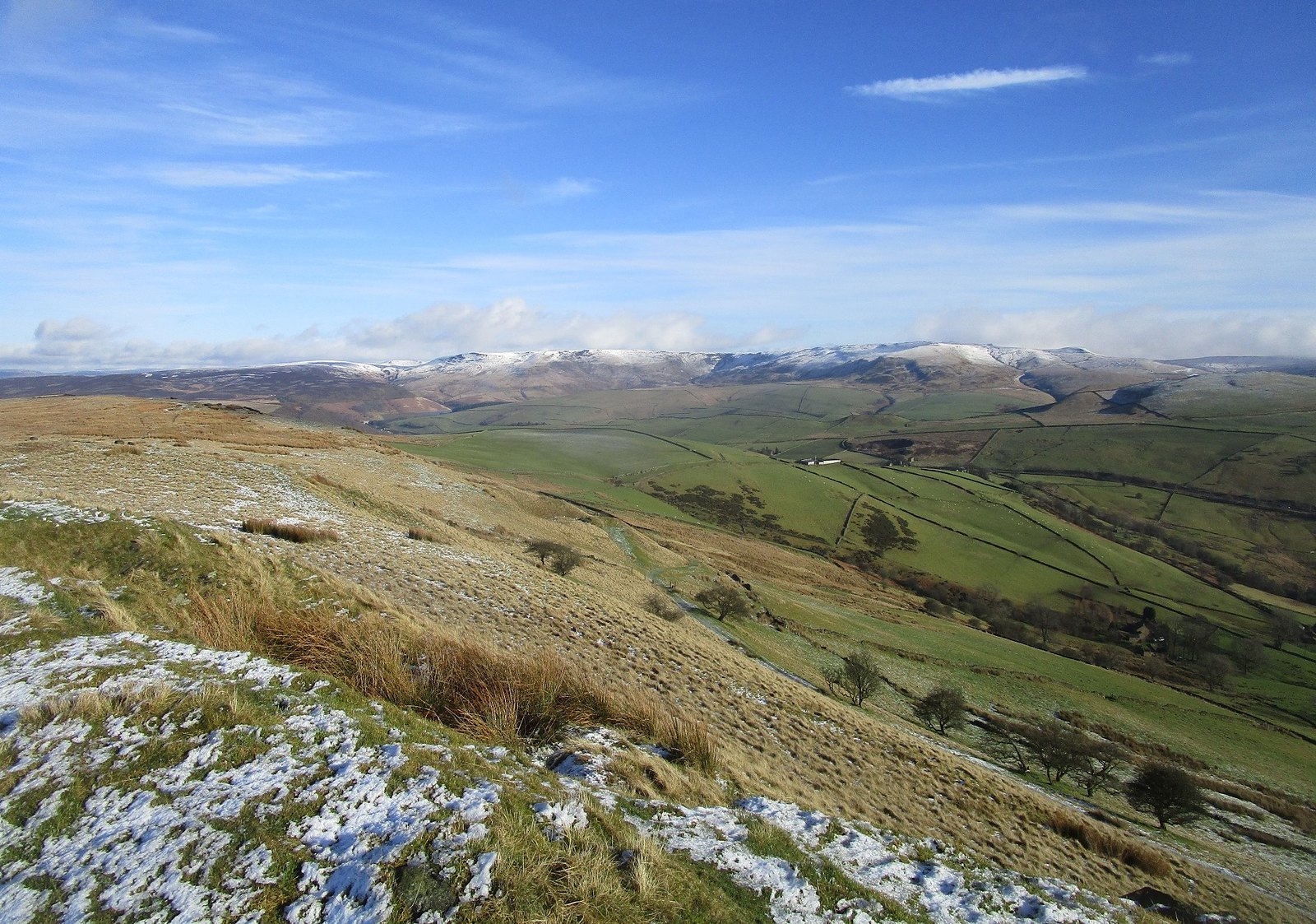
looking further south:
 IMG_0567
 by
Beery Hiker, on Flickr
looking north-east:
 IMG_0571
 by
Beery Hiker, on Flickr
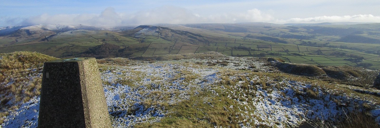
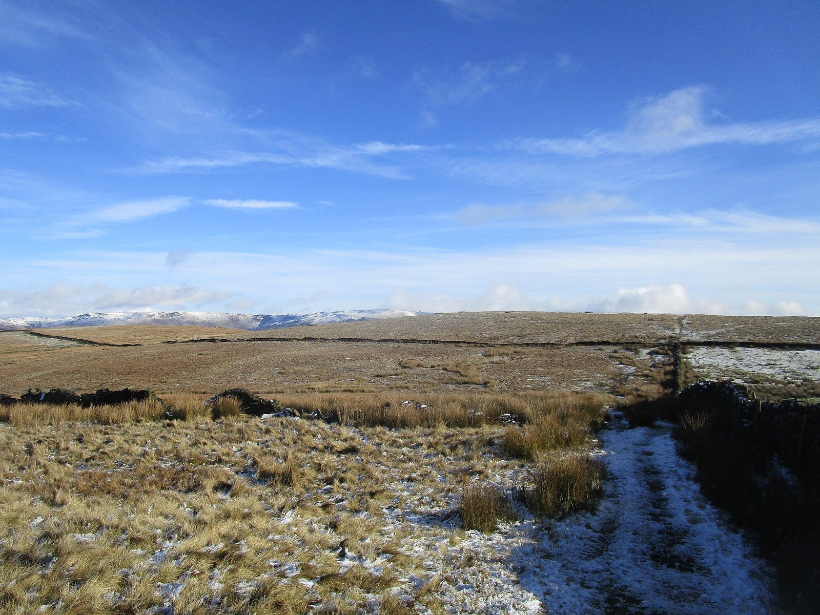
I retreated down the east side and found another place to cross the wall, and followed the wall over towards the north top, pausing for a quick look back down the ridge:
 IMG_0573
 by
Beery Hiker, on Flickr
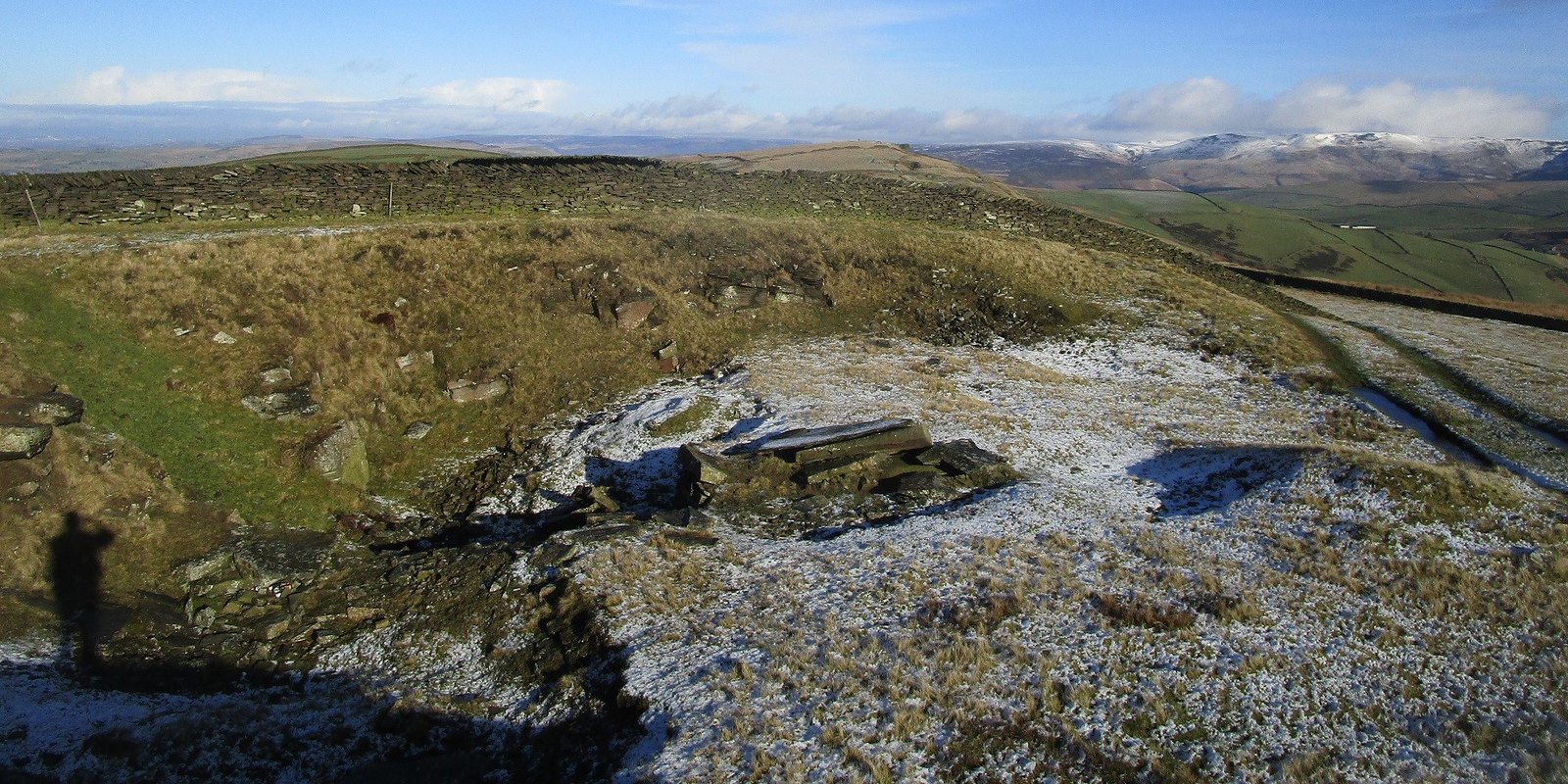
a group had commandeered a fine viewpoint on an outcrop on the north top:
 IMG_0574
 by
Beery Hiker, on Flickr
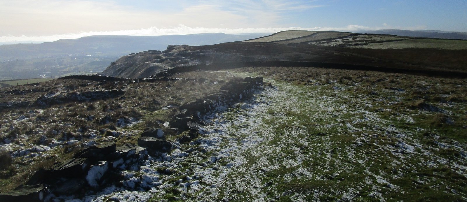
the view to Kinder from the north top:
 IMG_0575
 by
Beery Hiker, on Flickr
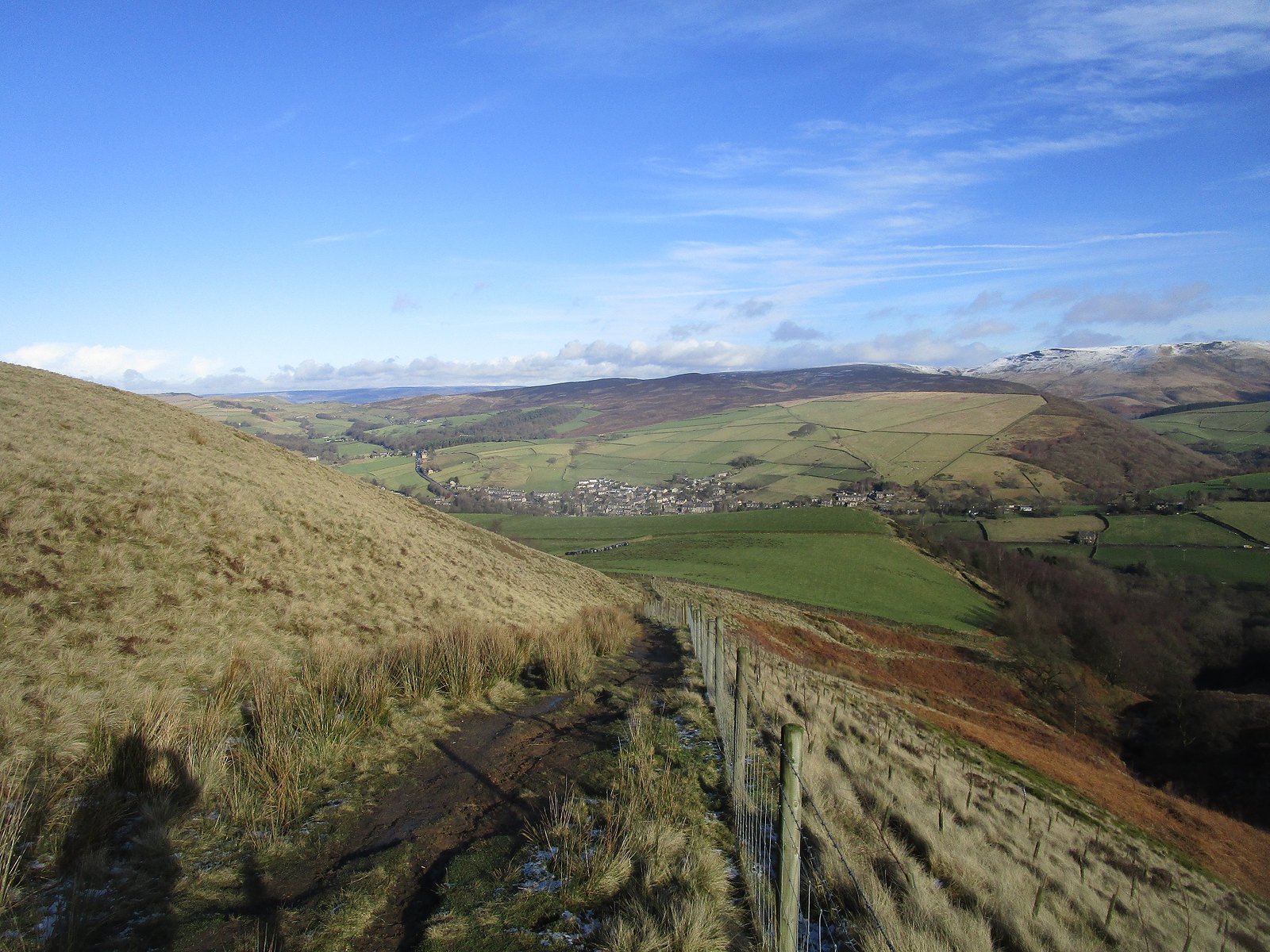
I headed down to the west looking back across the plateau to the north top:
 IMG_0577
 by
Beery Hiker, on Flickr
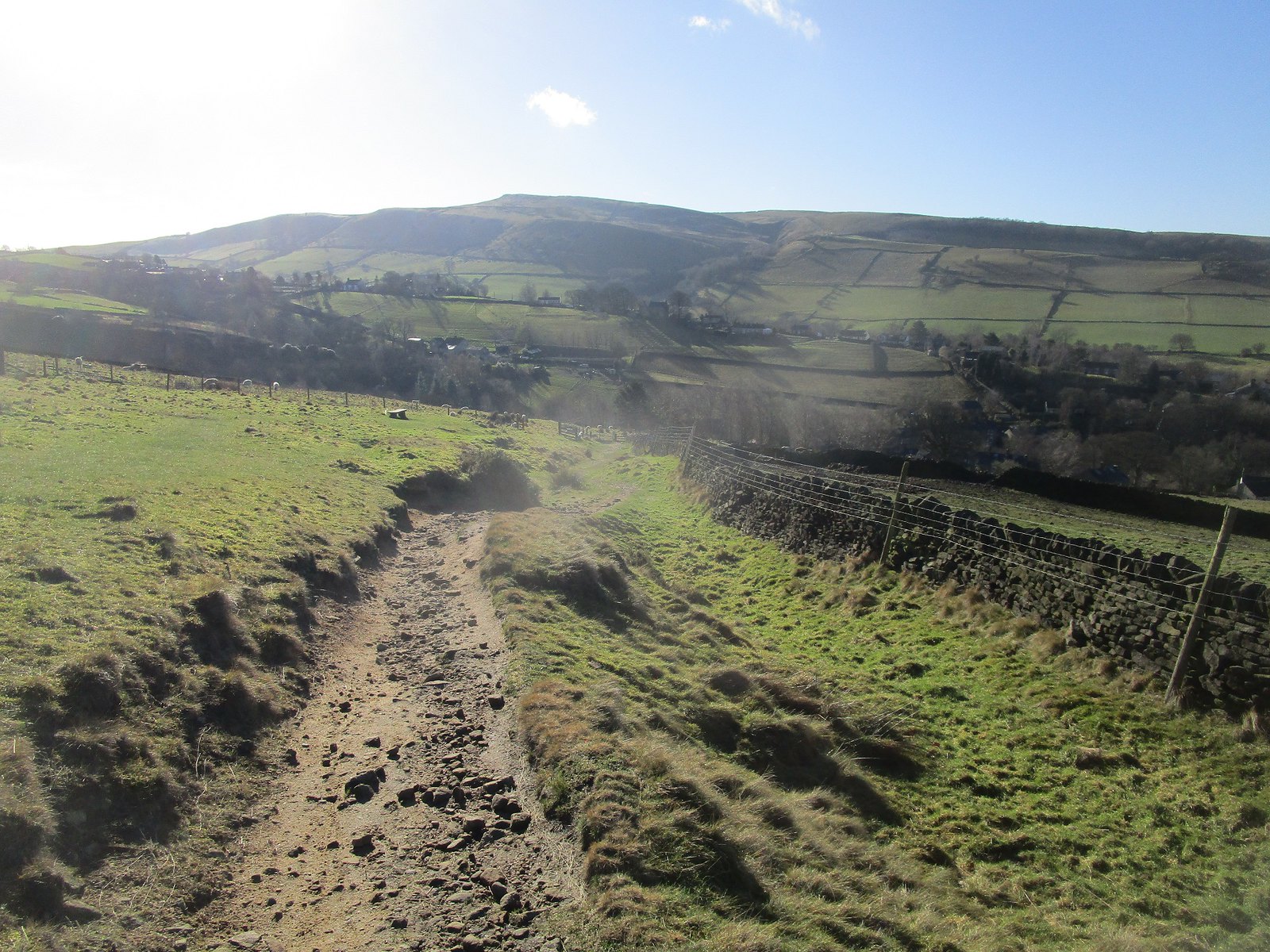
then followed the bridle path descending towards Hayfield:
 IMG_0580
 by
Beery Hiker, on Flickr
 IMG_0581
 by
Beery Hiker, on Flickr
 IMG_0583
 by
Beery Hiker, on Flickr
Before long, I was climbing again, on the Snake path looking towards Kinder:
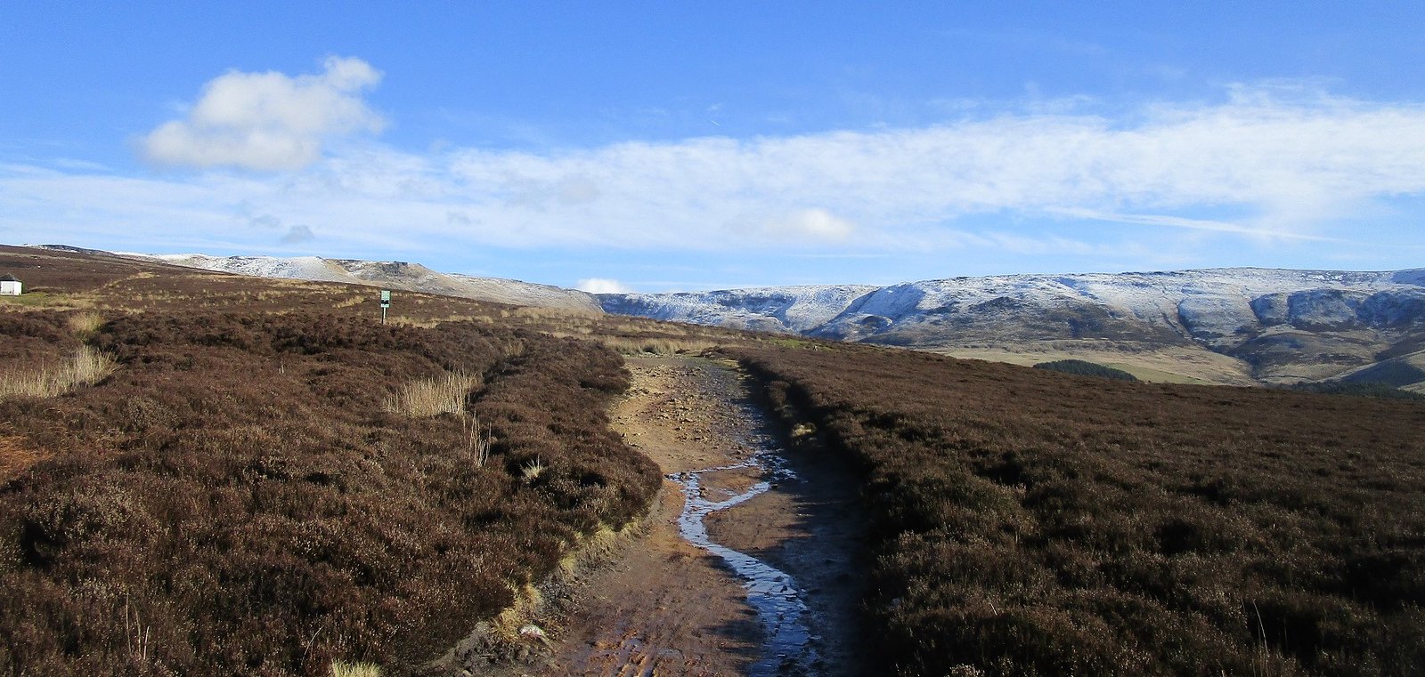 IMG_0587
 by
Beery Hiker, on Flickr
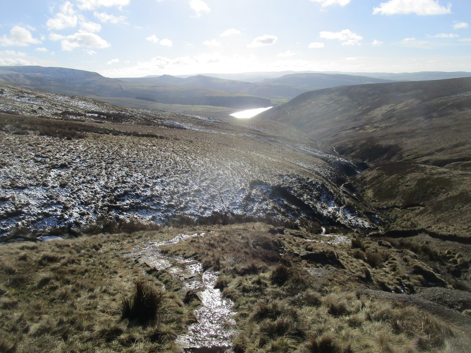
the first sight of Kinder reservoir:
 IMG_0588
 by
Beery Hiker, on Flickr
a little further on, the sunlight over the reservoir caught the eye:
 IMG_0591
 by
Beery Hiker, on Flickr
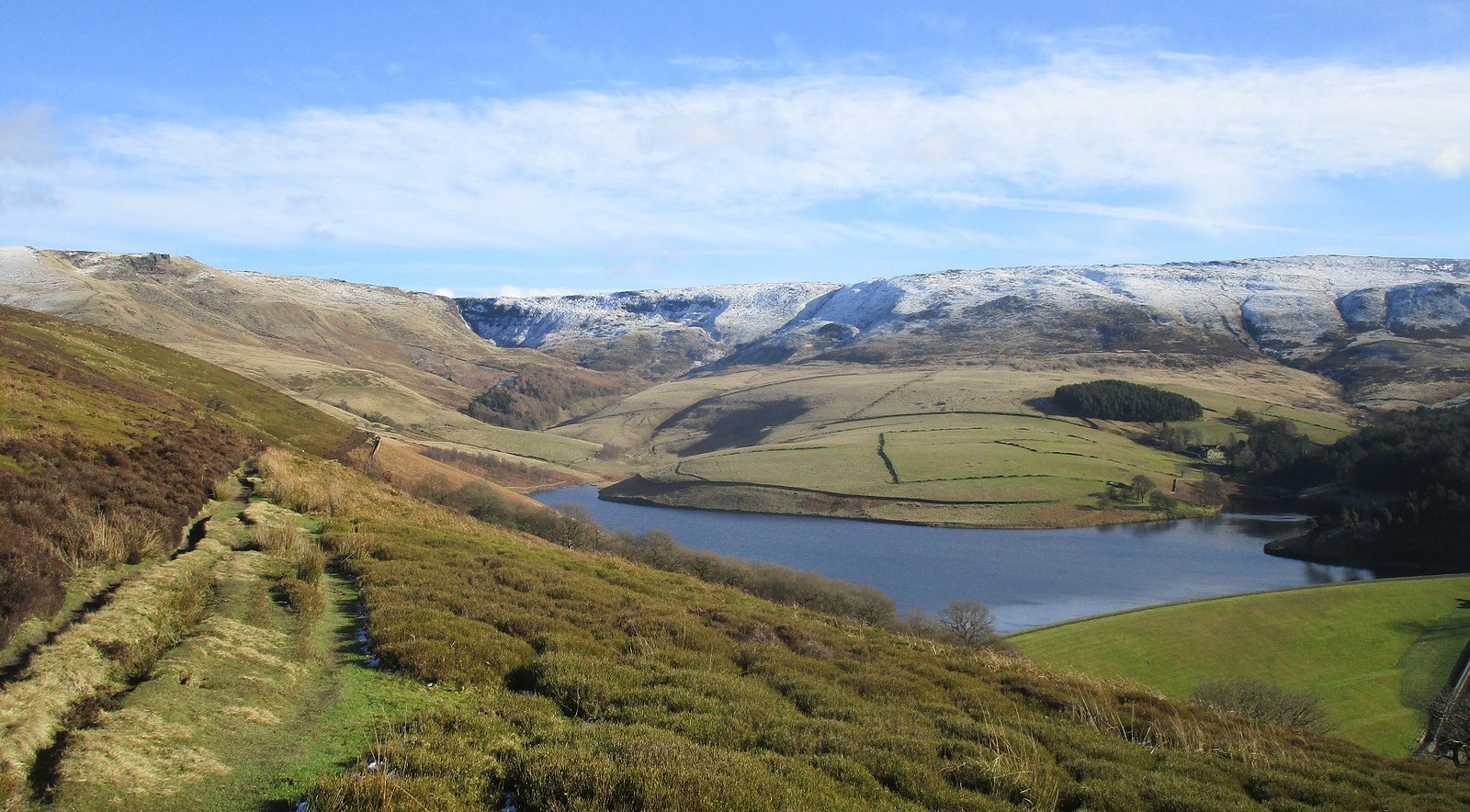
and before long I was on the familiar rough path up William Clough - looking back to the reservoir:
 IMG_0594
 by
Beery Hiker, on Flickr
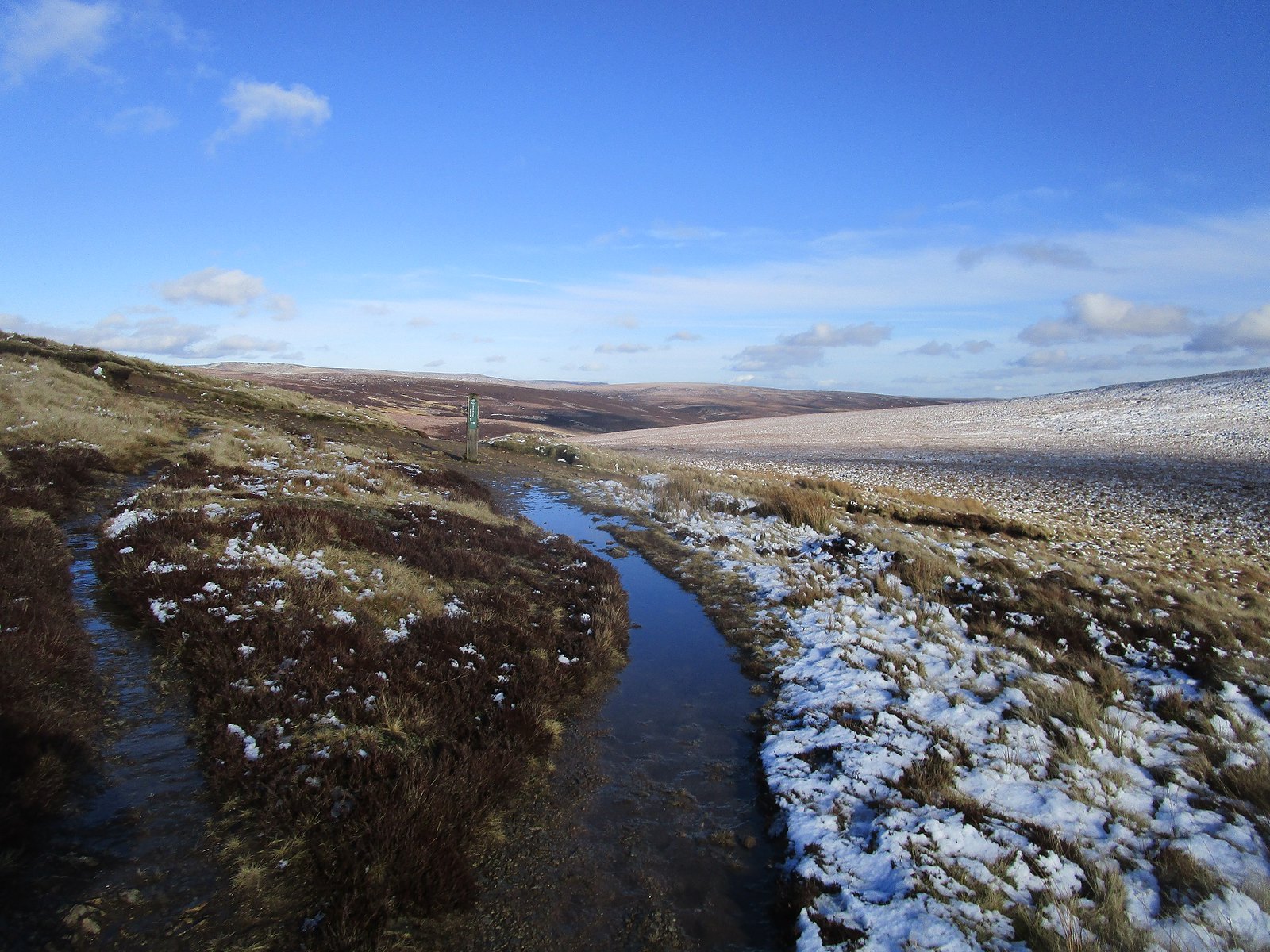
The highest point of the Snake path is the crossroads between Mill Hill and Kinder:
 IMG_0595
 by
Beery Hiker, on Flickr
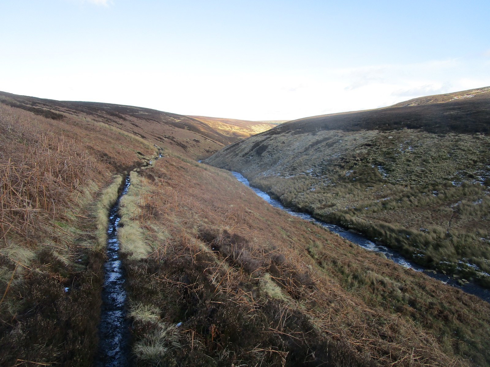
I continued, encouraged by a flagstoned path descending towards the Ashop valley:
 IMG_0597
 by
Beery Hiker, on Flickr
but the path soon disappeared in an unpleasant mixture of boggy ground and snow.
 IMG_0600
 by
Beery Hiker, on Flickr
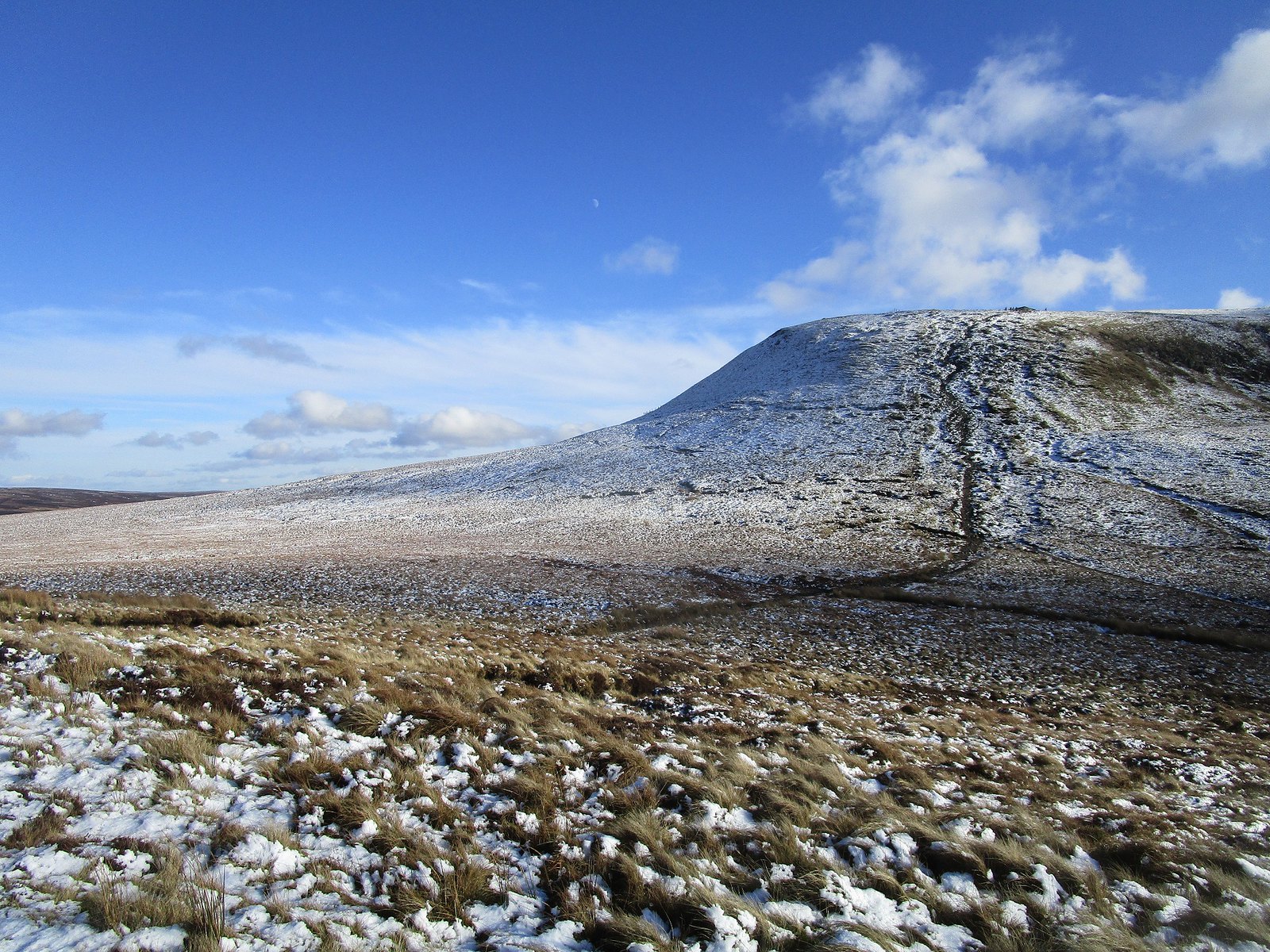
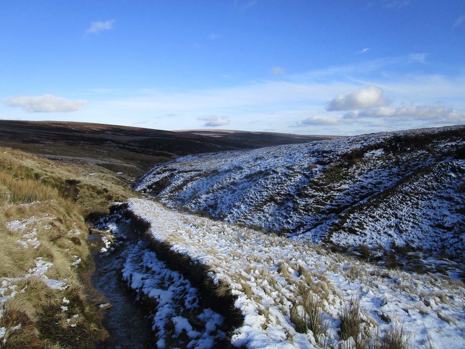
Fortunately this section didn't last long, and the views back up towards the north edge of Kinder more than compensated:
 IMG_0604
 by
Beery Hiker, on Flickr
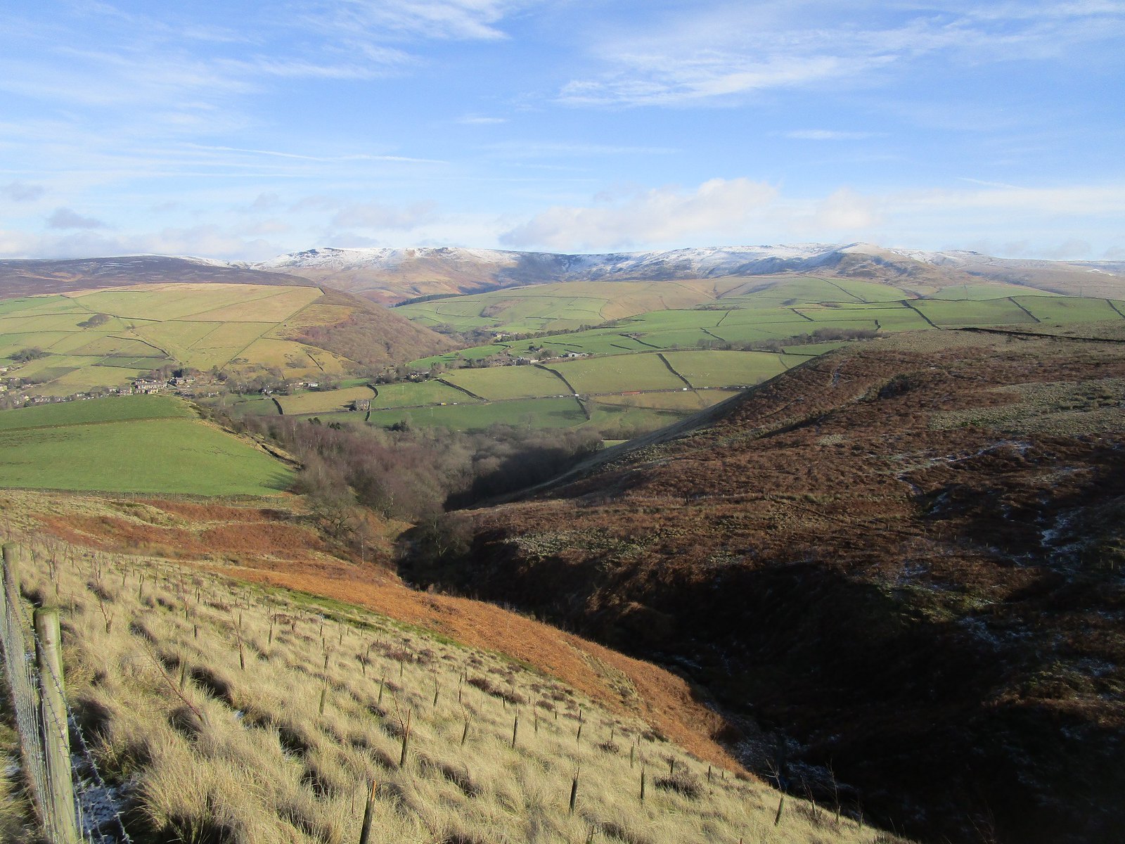
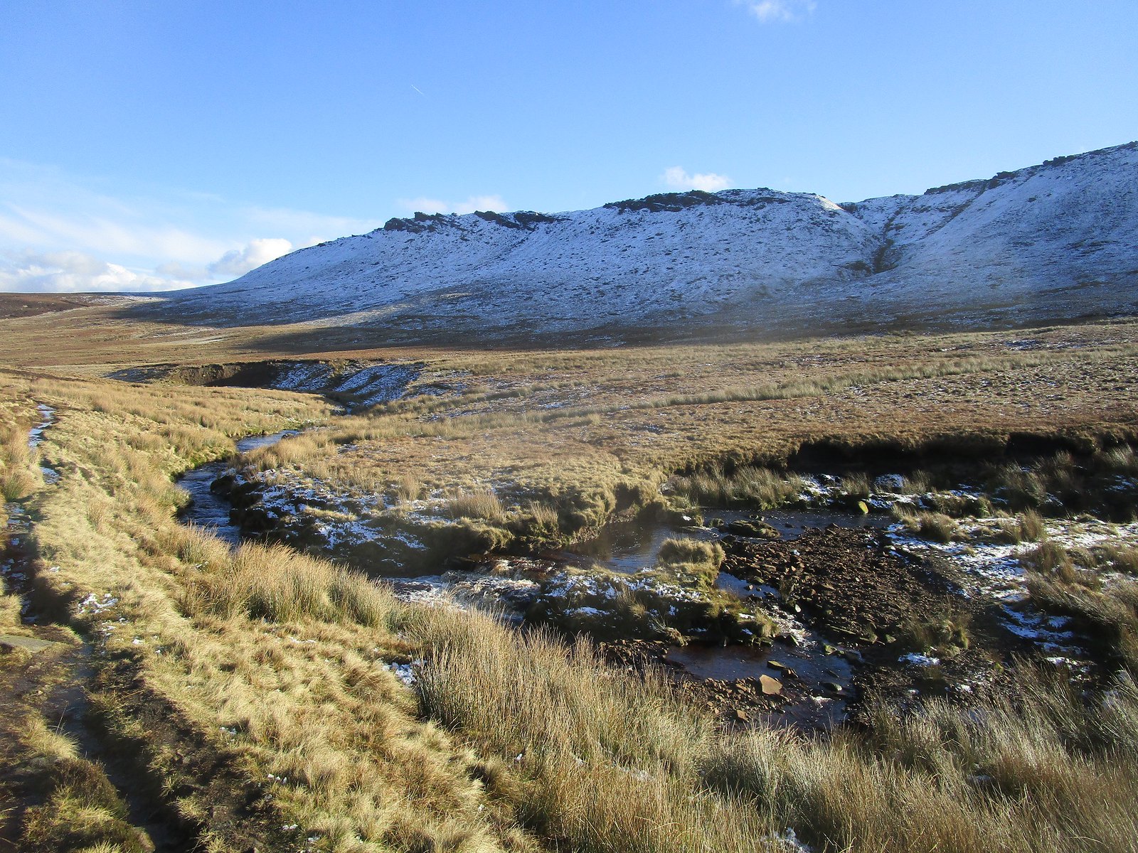
further down the Ashop valley steepens:
 IMG_0605
 by
Beery Hiker, on Flickr
the wood near Snake Inn:
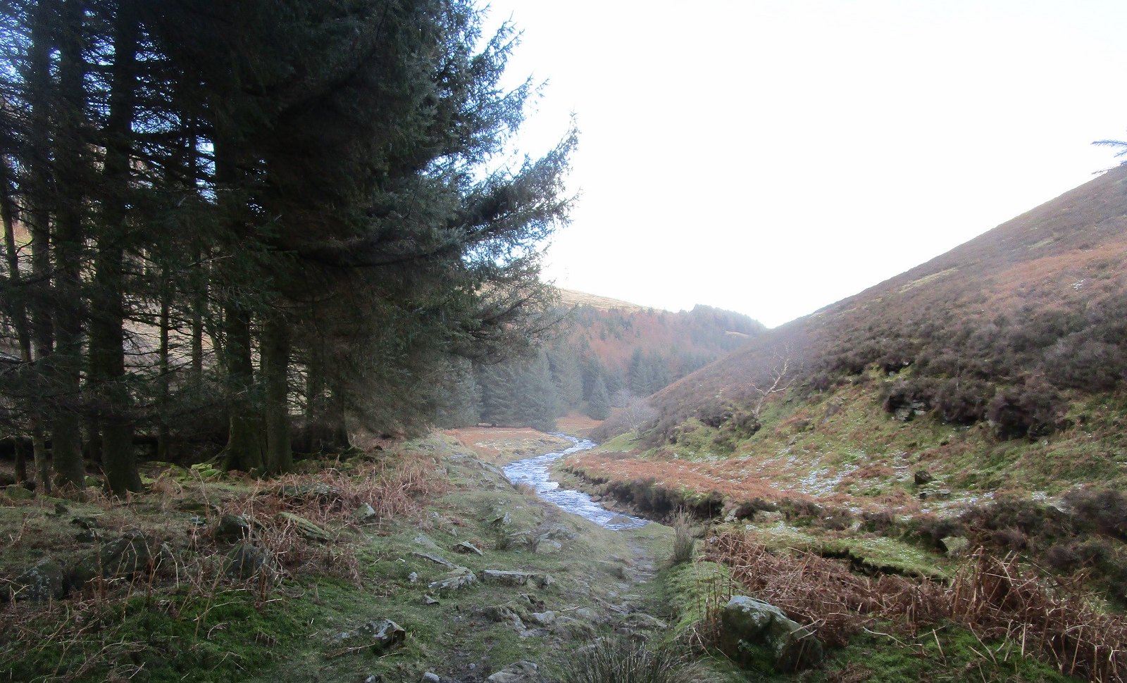 IMG_0607
 by
Beery Hiker, on Flickr
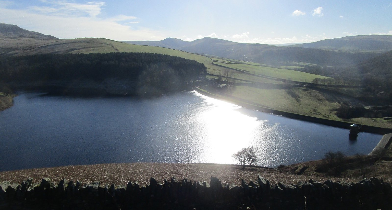
It was already 3 p.m. when I reached the Inn, so I couldn't stop, and reluctantly decided to follow the main road as far as Hagg Farm. I then calculated that there was just enough time to follow the track round the south side of the Ladybower reservoir before dark. I was rewarded by the views of Ladybower reservoir:
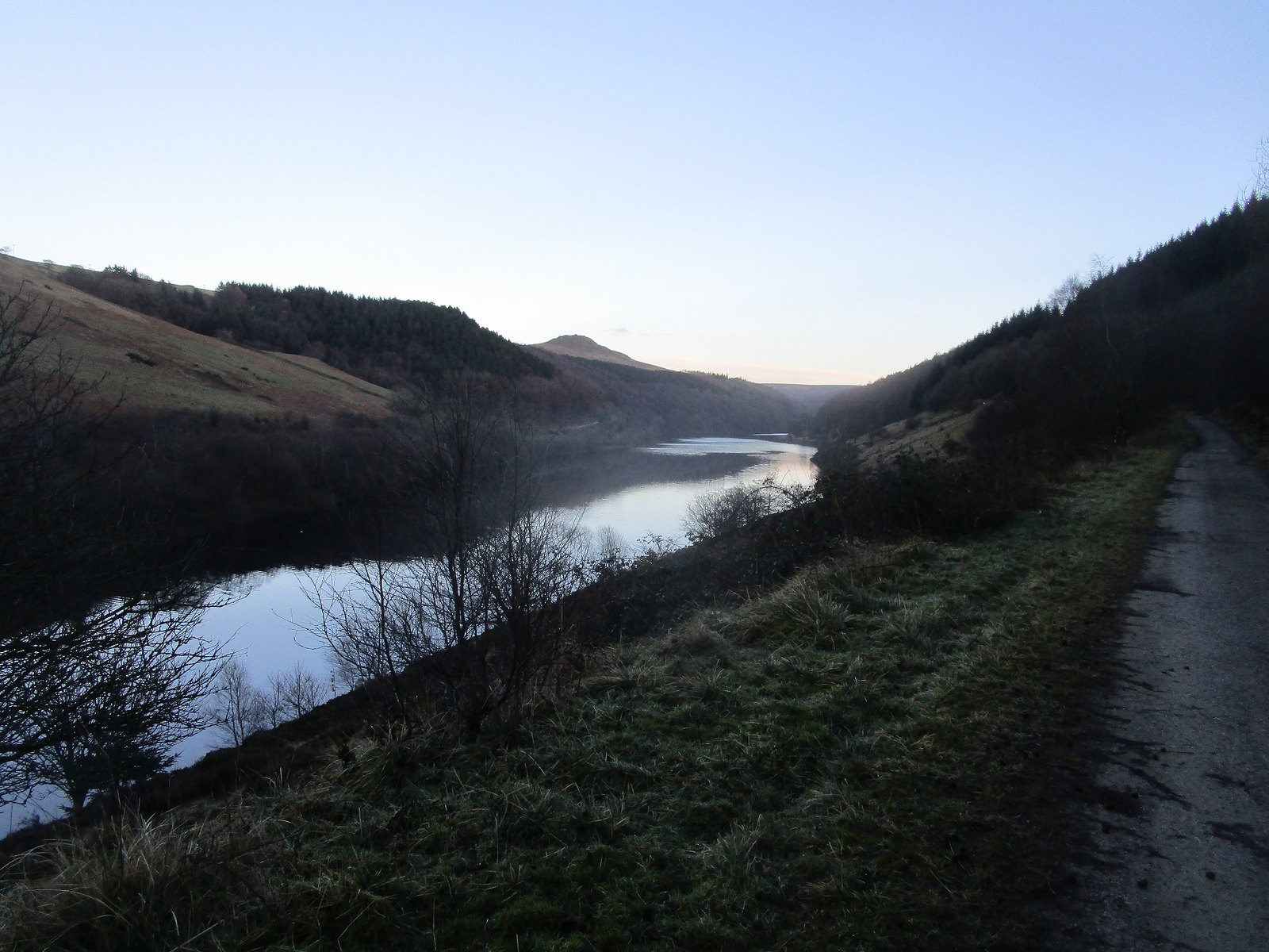 IMG_0609
 by
Beery Hiker, on Flickr
The bridge over the northern arm was a welcome sight in the twilight:
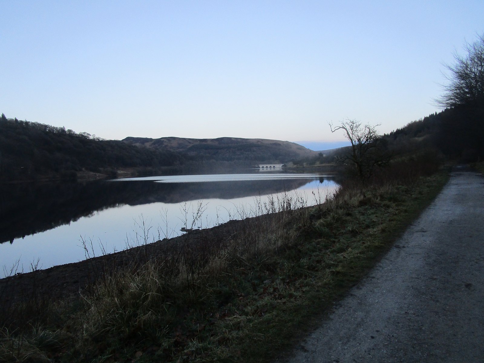 IMG_0611
 by
Beery Hiker, on Flickr
And it was much darker than this picture suggests by the time the dam came into view:
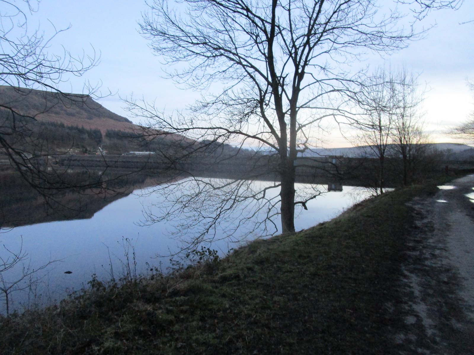 IMG_0612
 by
Beery Hiker, on Flickr
All that remained was a couple of miles of road walk down to Bamford station - fortunately there is a pavement for the whole of this section, as it was properly dark by the time I passed through the village. A fine day - the only slight disappointment was that the walk just failed to measure 20 miles.
