
Brotherswater round
The Wainwright bagging continues after a brief lull for a cheviot walk. Todays target was Middle Dodd which would complete the Eastern fells. Middle Dodd rather sits out on its own being an outlier of Red Screes and not really linked to anything else. The challenge was to do a route that would take this in and do a full day to try and get some miles into the legs. The map consulted I decided to a full round of the hills to the west of Brotherswater.

DSC00525
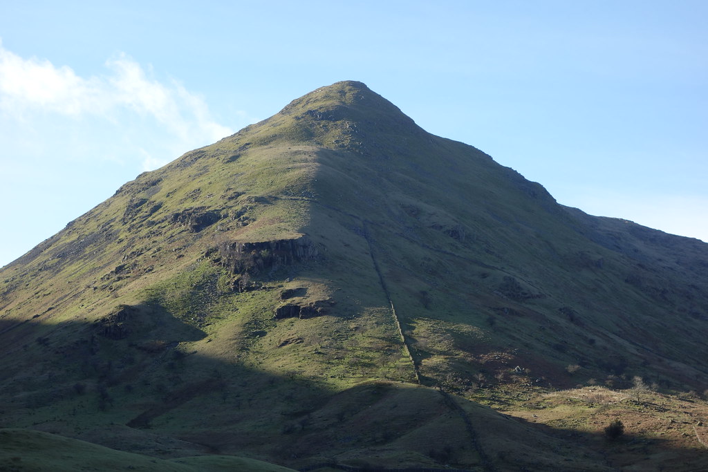
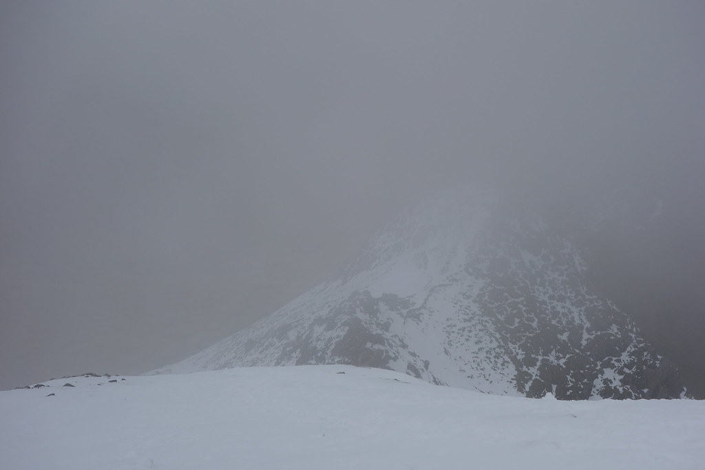
The early morning drive over looked good, the sun being out and conditions superb. A diversion was in place for the road from the top of Ullswater to the junction after Aira force car park. The diversion takes you from the A66 at the Troutbeck Hotel through Matterdale and down to Ullswater. I chose to park at Brotherswater as I knew I would be coming down near there and intended making the end of the day easier. The car park now has a donation box, far better than paying. Suited and booted I set off along the road towards the path not long after the Brotherswater Inn. As I walked I could see Middle Dodd and compared it too the slopes of High Hartsop Dodd next to it which I had been up before and which are steep and I knew I was in for a hard start. I took initially the path that would take you to Scandale pass then cut off to the base of the wall that starts to ascend the slopes up Middle Dodd. Quite soon the hard work starts and the slopes are steep and relentless. I didn't find a path until over the first craggy area and it was then over two false summits to get to the top. Looking back there were good views of the route up and back to the start of the route at Brotherswater . It was then onto Red Screes.
 DSC00527
 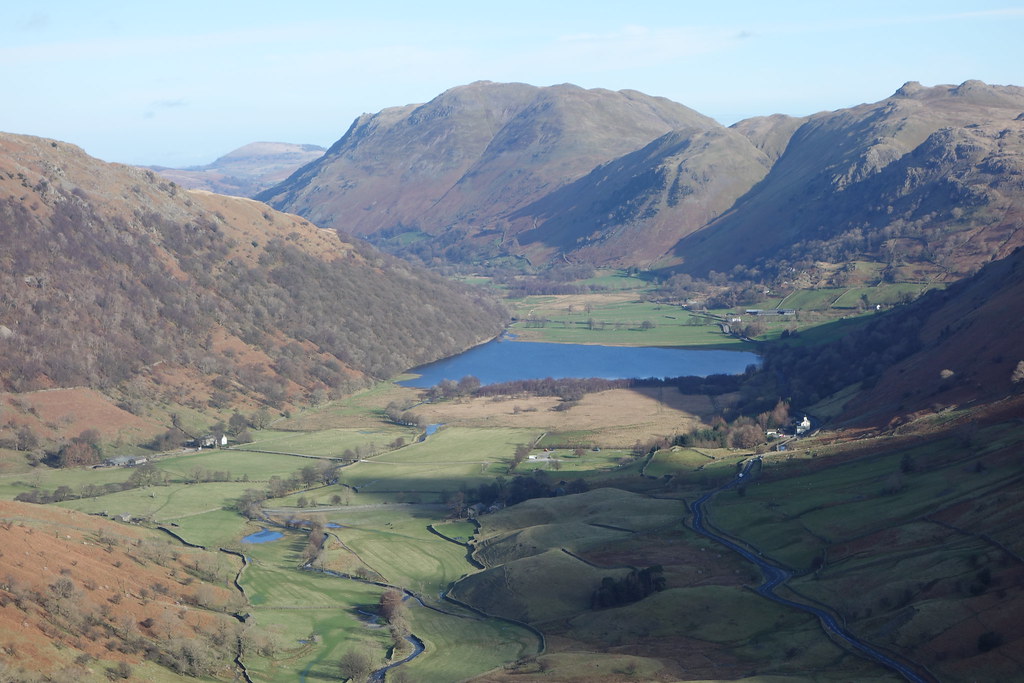 DSC00529
 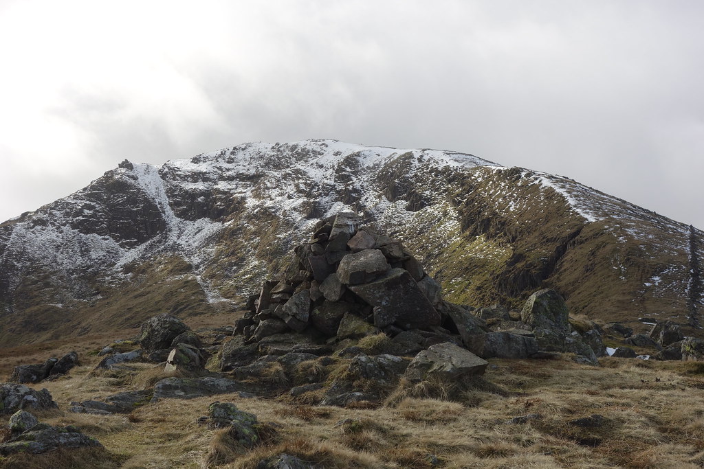 DSC00530
 On top of Red Screes I could see over to the Fairfield areas and beyond and could see that the weather that was meant to come after dusk had come in early. Most of the high tops were covered in cloud and the temperature had dropped 4 or 5 degrees. Looking down from Red Screes I could see the drop that was required for the next section. I had known that as I had been this way before on a backpack. I haven't measured it but I reckon the drop to the top of Scandale pass must be around 1000ft. That done there are a choice of paths ffrom the top of the path. One goes to Little Hart crag, the other cuts off left and goes to a cairn that can be seen on the skyline from the head of the pass. I chose the latter and from the cairn a level path cuts over to the Fairfield horseshoe path.
 DSC00533
  DSC00534
 DSC00536
 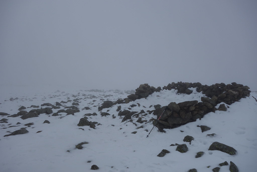 DSC00542
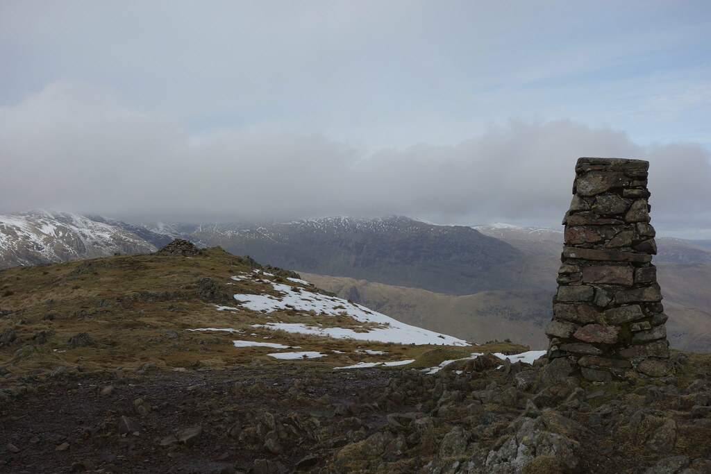
 Once on the path to Fairfield even though it was covered in cloud I find it a straightforward route as you walk over Hart Crag and onto Fairfield. Straightforward because I have been this way numerous times. On top of Fairfield the winds were strong and gusty and the temperature cold. I had a short break to consider my options as I intended going over Cofa Pike. I had brought crampons and Ice axe as I had read the weatherline reports on Helvellyn which indicated crampon work high up and the exit slopes to Cofa Pike can be tricky. Getting to the end shoulder I peered through the gloom to the down slopes and decided to deploy the Ice Axe. I did however feel a right idiot when I saw a fell runner with trainers on run straight past me for the down slopes. However better safe than sorry I kept it out. The down slopes weren't that bad, a track which had been worn hard had been made through the slopes. The snow either side of the rack was a couple of inches deep. I still wouldn't have fancied it in trainers though!
 DSC00543
 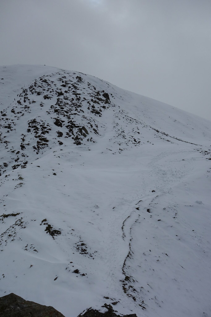 DSC00547
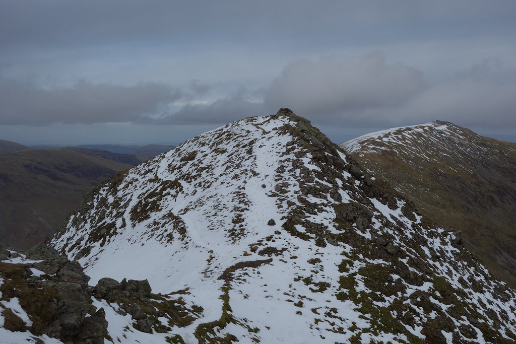
 Once I got to the first pinnacle the weather began to change and a break in the clouds occurred. I hung around for 5 minutes to get some photographs and then continued over the two pinnacles before dropping end of Cofa Pike to Deepdale Hause. The path down had snow on it but as before a track was worn through it and there were no difficulties. I then continued on up to St Sundays crag and had a further break. I normally drop onto Gavel Pike and Lord seat on my descent but wanted to go onto Birks and Arnison crag so I dropped slightly to Gavel Pike and then cut N to rejoin the path coming down from St Sunday crag. From there it was an easier climb to Birks before a steep grassy pathless drop to Arnison Crag. Not quite sure where to descend Arnison crag to the SE, as I didn't wanted to drop into a farmyard, I followed the path the N and joined the path to Patterdale YH. From there it was a 20 minute road walk back to the car.
A 12 mile round and not one that would immediately spring to mind when considering a route in this area. It was a good workout, one that I badly needed to do as some leg work is required for a big walk in April.
 DSC00548
 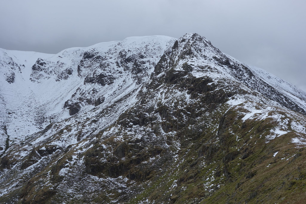 DSC00553
 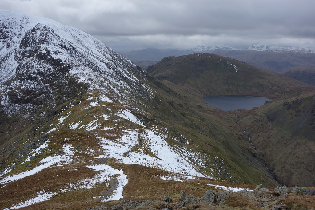 DSC00554
 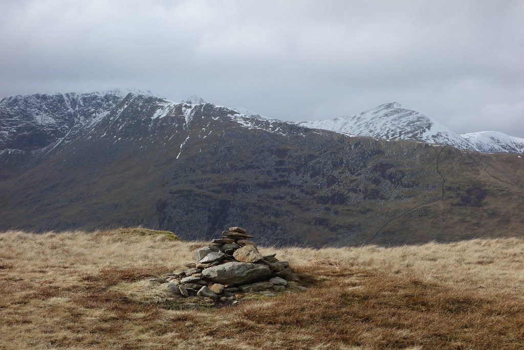 DSC00557
  DSC00558
 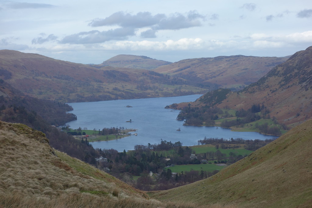 DSC00560