free to be able to rate and comment on reports (as well as access 1:25000 mapping).
As mentioned elsewhere, I recently spent several weeks house-sitting in a friend's house in Cajarc, southern France. After my walk around Cajarc (
https://www.walkhighlands.co.uk/Forum/viewtopic.php?f=16&t=73087 ), but before I headed for the magnificent Gorges du Tarn (
https://www.walkhighlands.co.uk/Forum/viewtopic.php?f=16&t=73399 ), I headed for the nearby valley of the lovely River Célé, which winds beneath limestone crags through the plateau of the Causses.
The area is full of history, and I wanted to visit one of the sites that dates back to the 13th Century, one of several "Chateau des Anglais" that hug the cliffs of this region.
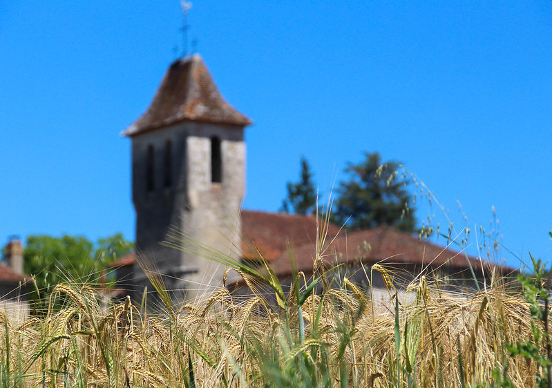
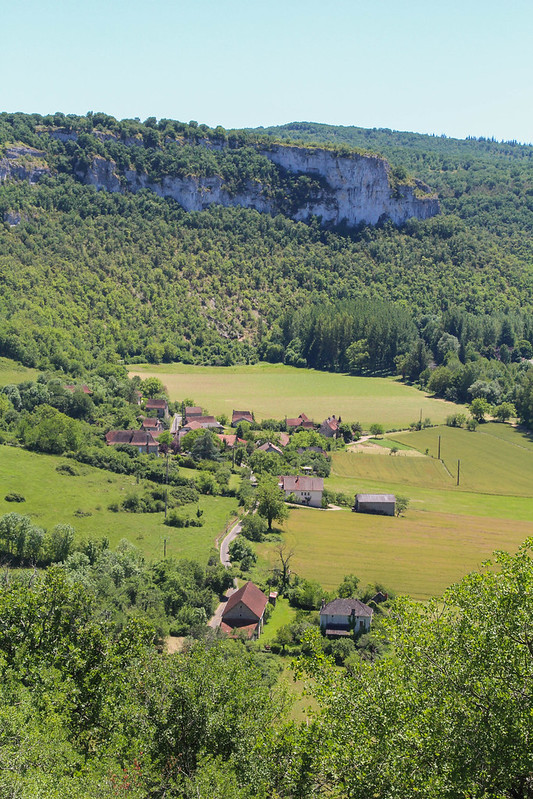
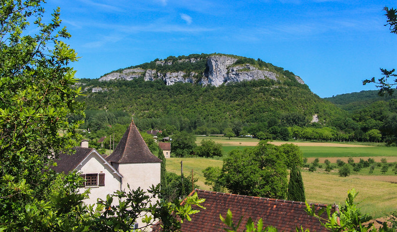
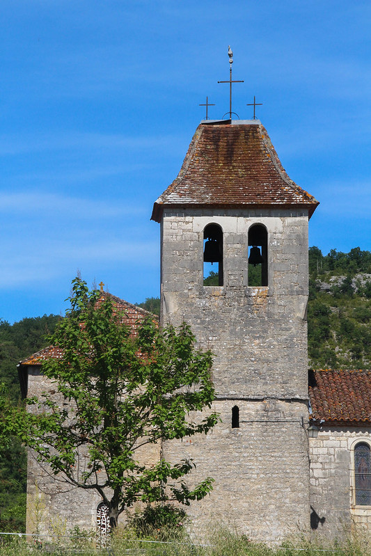
The little village of Brengues was my starting point, with its simple-but-lovely church surrounded by fields.
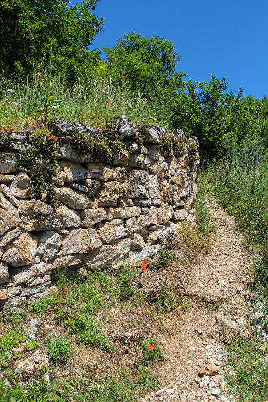
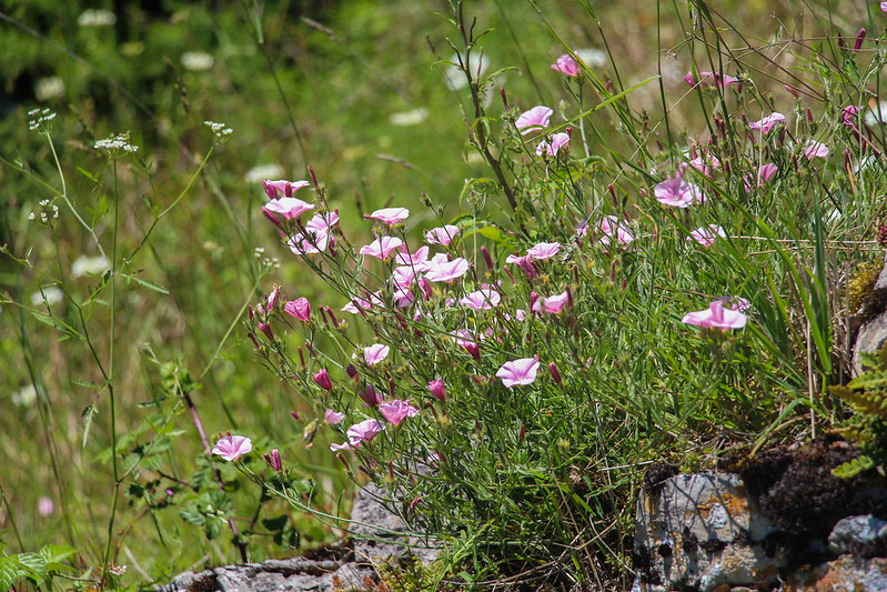
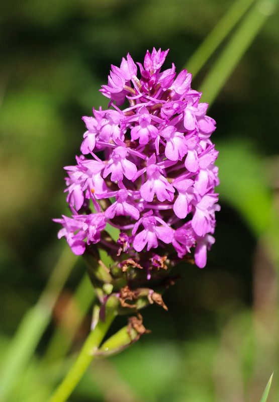
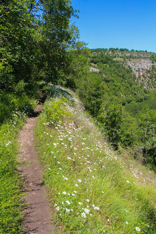
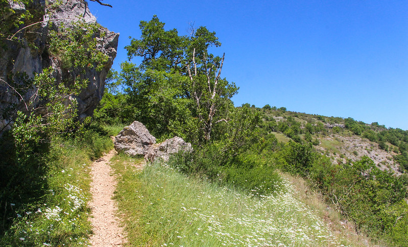
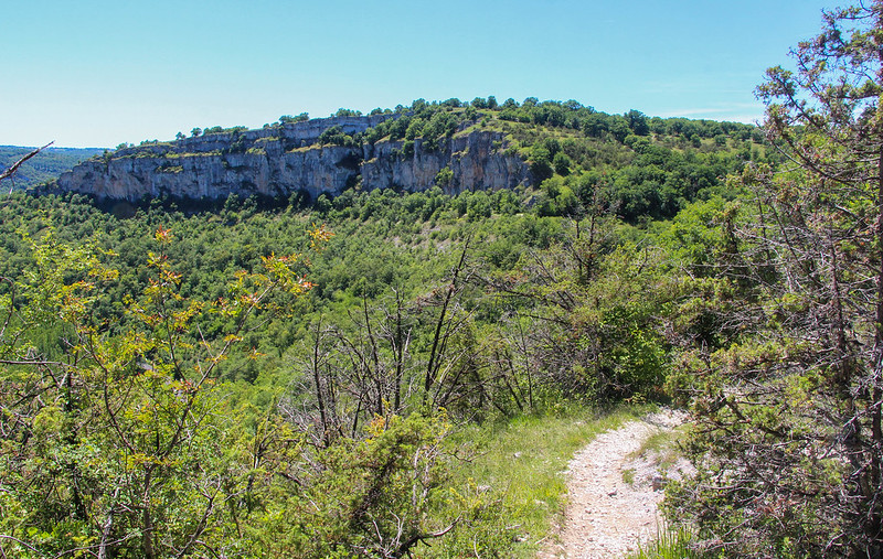
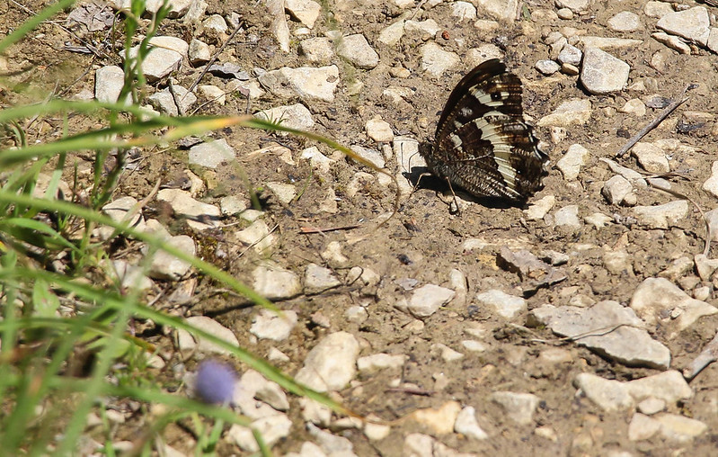
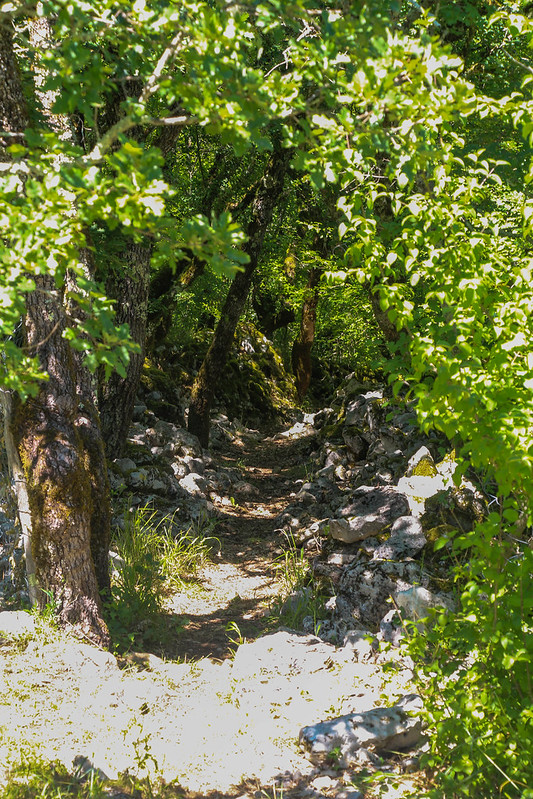
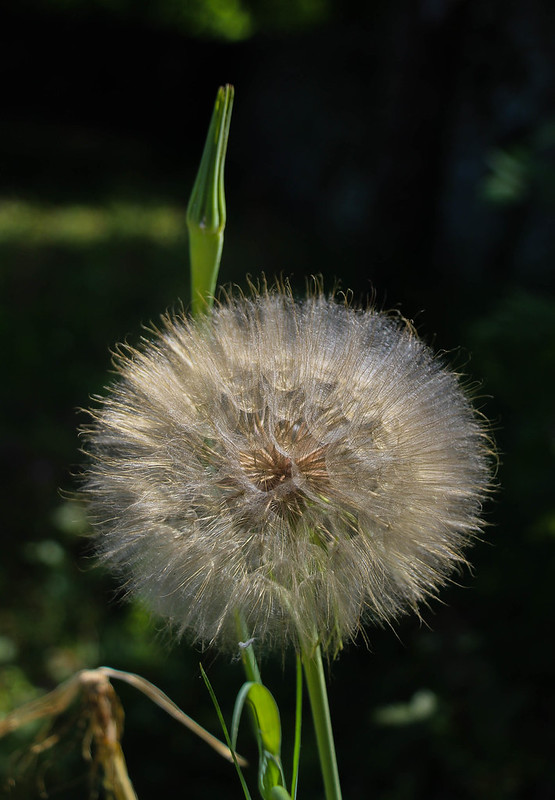
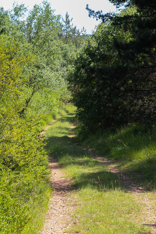
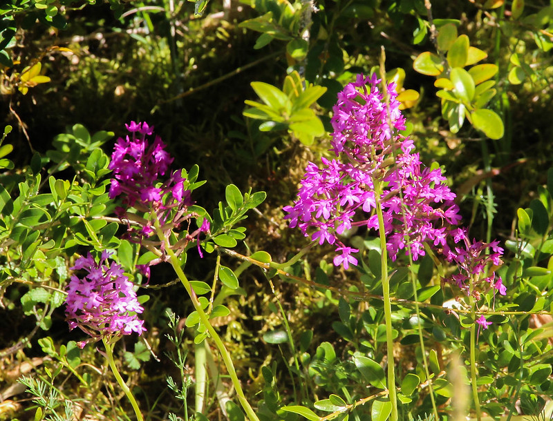
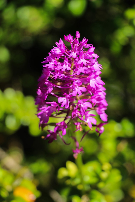
It was hot, around 32c, as I climbed up a slope, following the markers for the GR65 which half my route would follow. A couple of hundred feet above the village, I turned off the lane and into shadier country as the path started to contour around the slope of the hill. The whole area was alive with flowers, butterflies and the sound of crickets and cicadas.
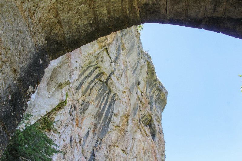
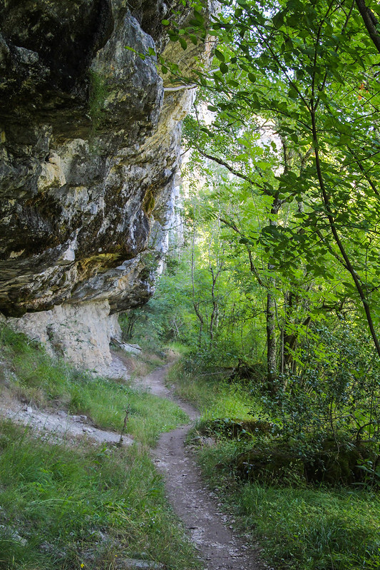
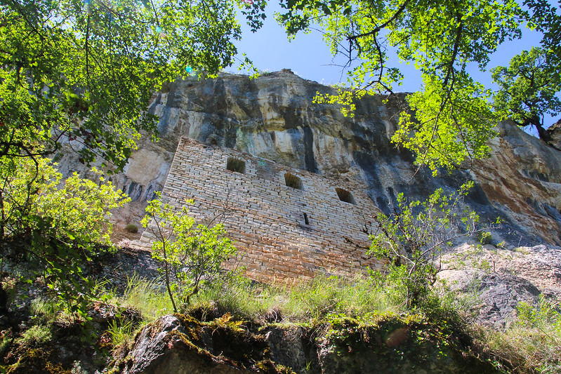
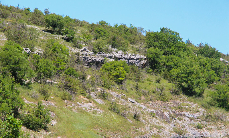
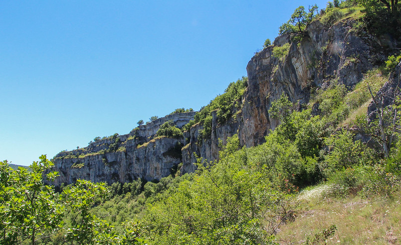
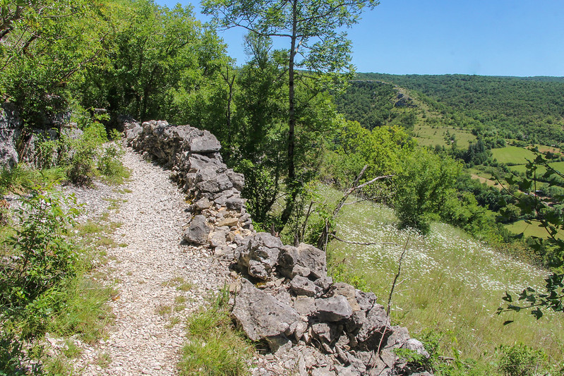
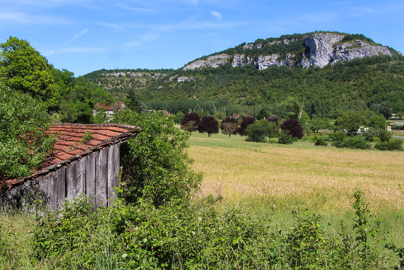
Soon I reached the start of the highlight of the walk. Far above the river, a terrace crosses below steep, overhanging limestone cliffs, and above a very steep slope studded with bluffs.
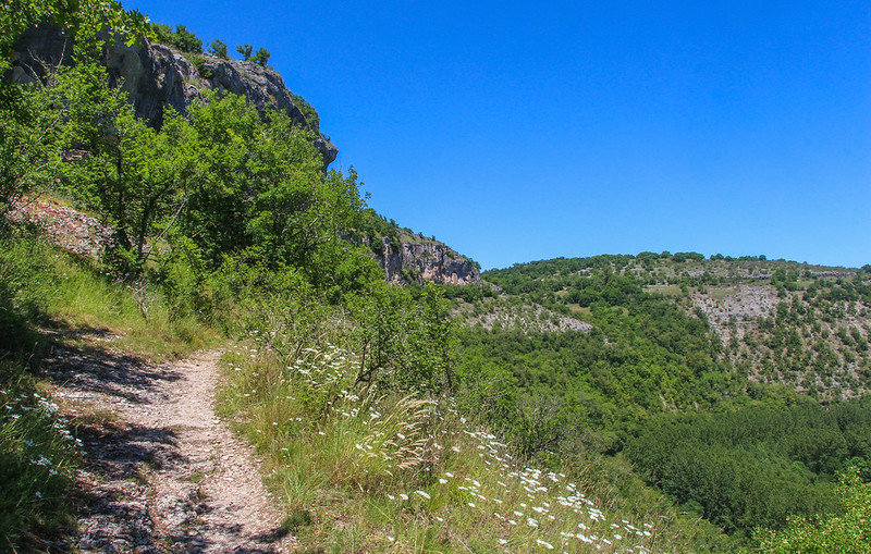
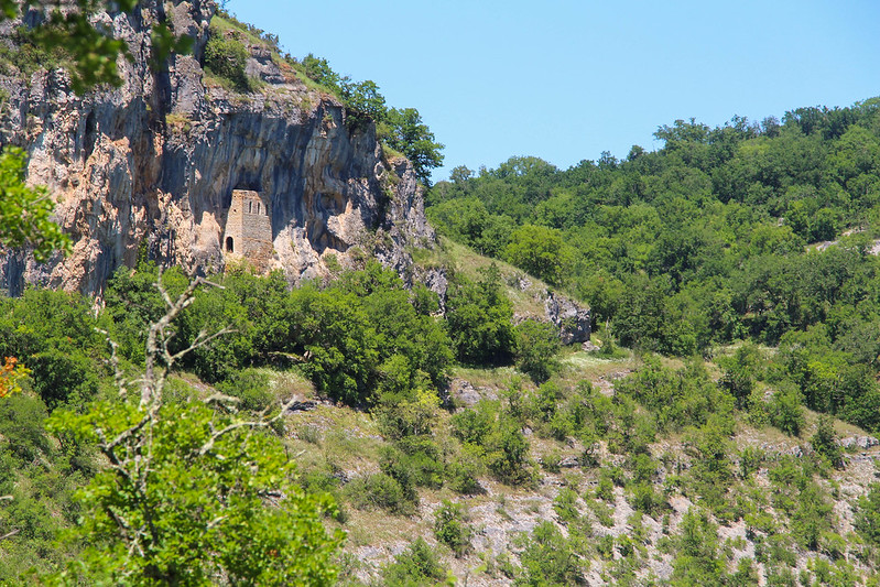
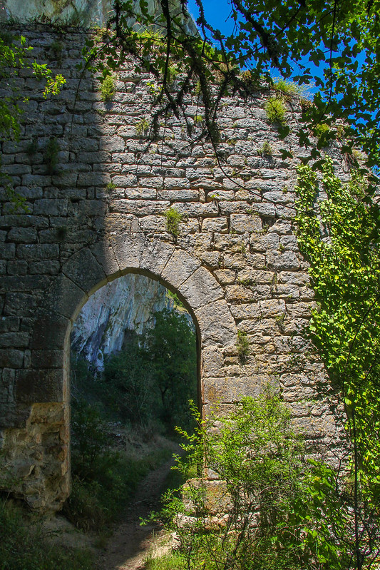
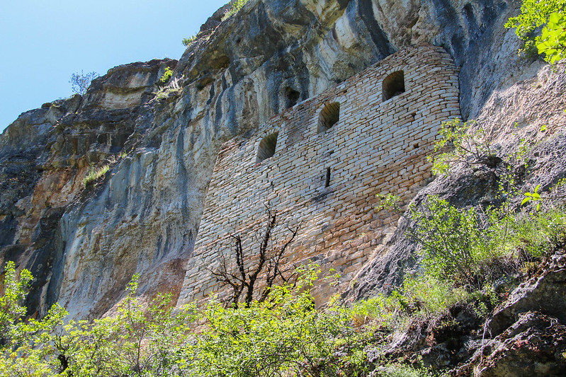
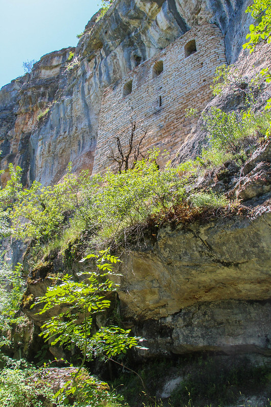
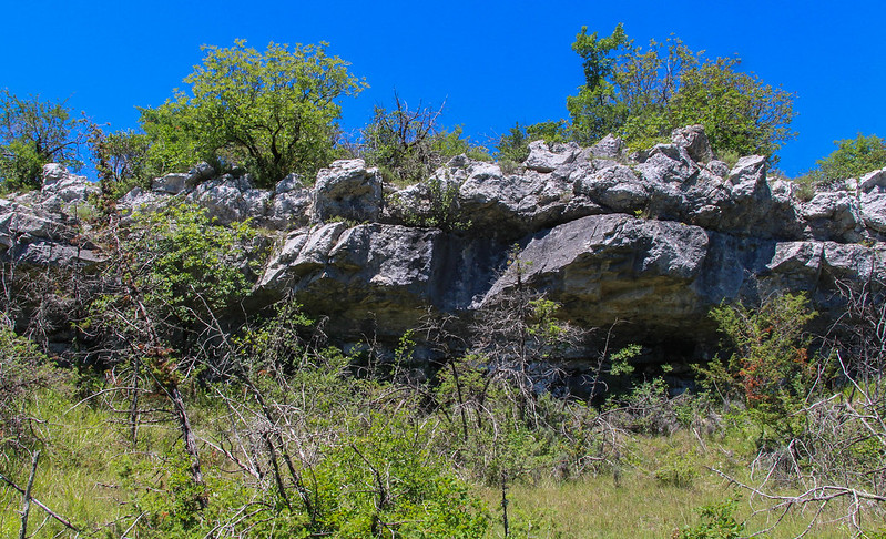
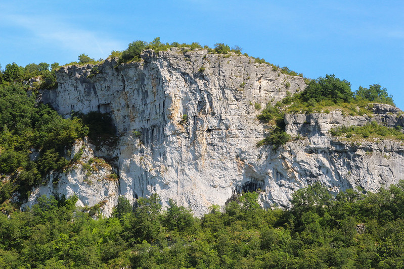
This is the approach to le Chateau des Anglais, a remarkable 13thC fortress hidden under an overhang just above the terrace that the path follows. After so many centuries, the castle has taken on the colour of the cliffs themselves, so is not always easy to spot.
The whole terrace, half a kilometre long, was one fortified, an old gateway barring access from this end.
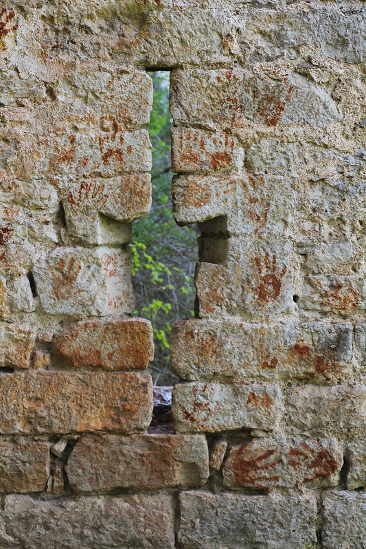
I would guess that the terrace has been used for many thousands of years, for its many overhangs and difficult approach would make for a safe, sheltered, haven in times of strife. This part of the world has many prehistoric sites, dolmens, caves and the like, and you can really feel that these places have been visited by humanity since time immemorial.
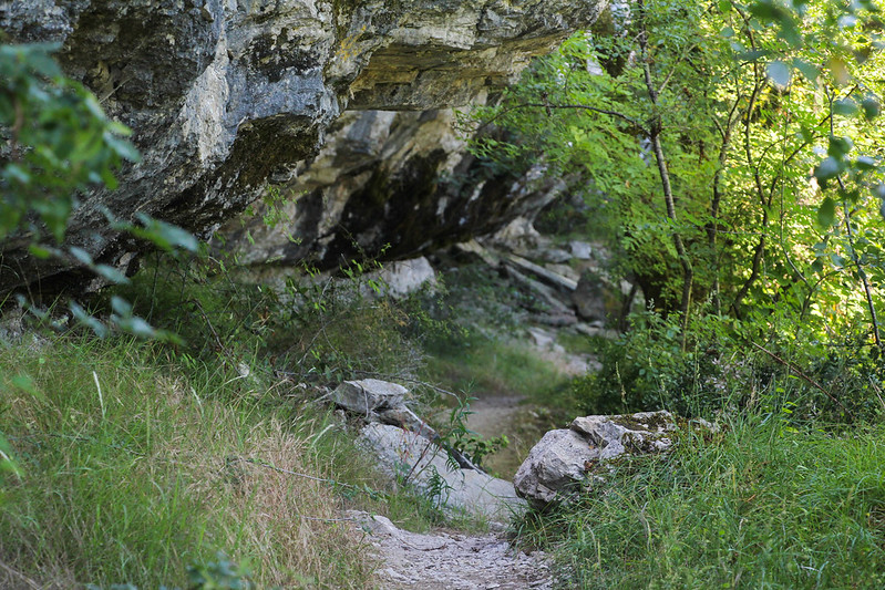

You could almost miss the Chateau, as it clings under an overhang well above the path. These ruins, and many others around, reputably date back to the times after the Crusades when this region was full of bands of English mercenaries, and when the Black Prince fought over much of France.
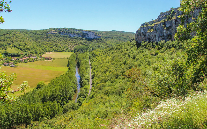
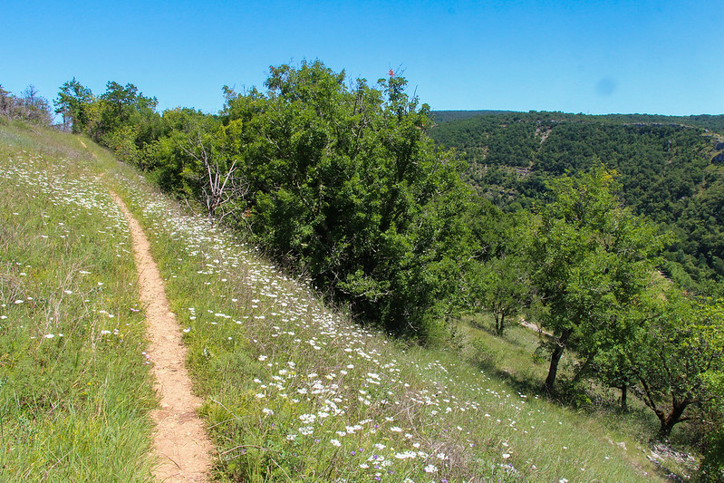
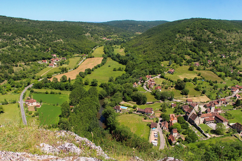
Now nearing the end of the terrace, the views opened out a little.
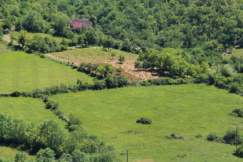
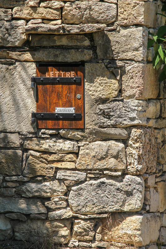
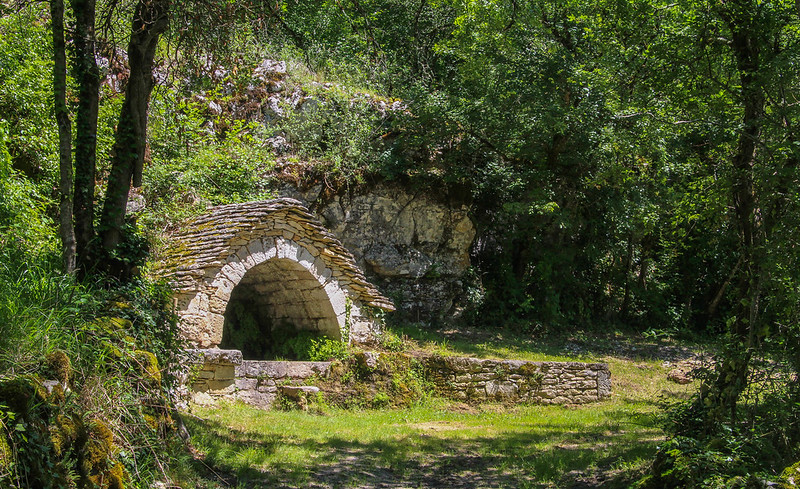
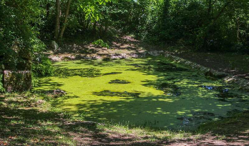
A farm marked the point where the path regained the plateau, before dropping down and around the rim to the first of two old "fontaines" or wells, again typical of this part of the world.
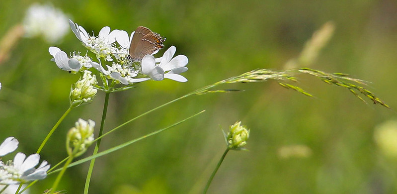
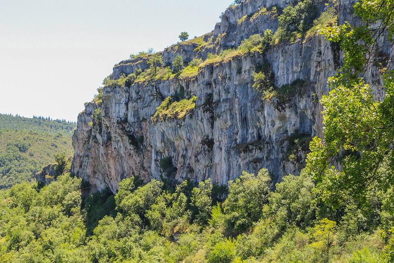
Moving on, the shade was rapidly disappearing as I walked along the edge of a classic limestone escarpment, accompanied by butterflies.
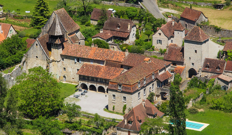
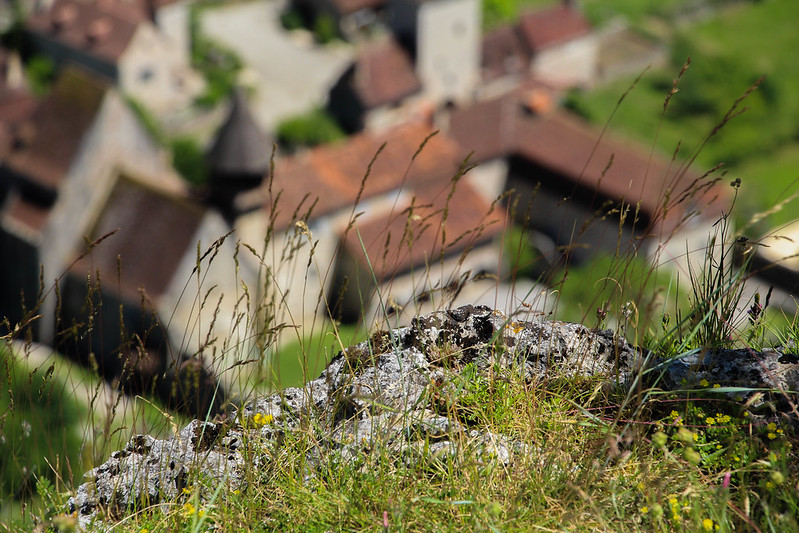
Reaching the high point, I sat for a bit and looked down on the village of Espagnac, with its ancient Abbey.

Now the trail dropped steeply downwards, before climbing up a side valley via a very hot tarmac road. The scenery was less exciting and I took no photos for a while.
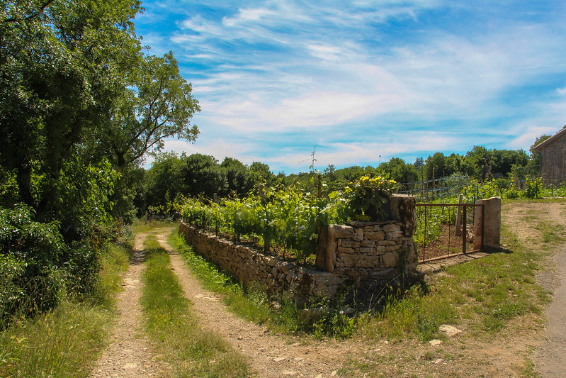
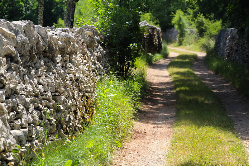
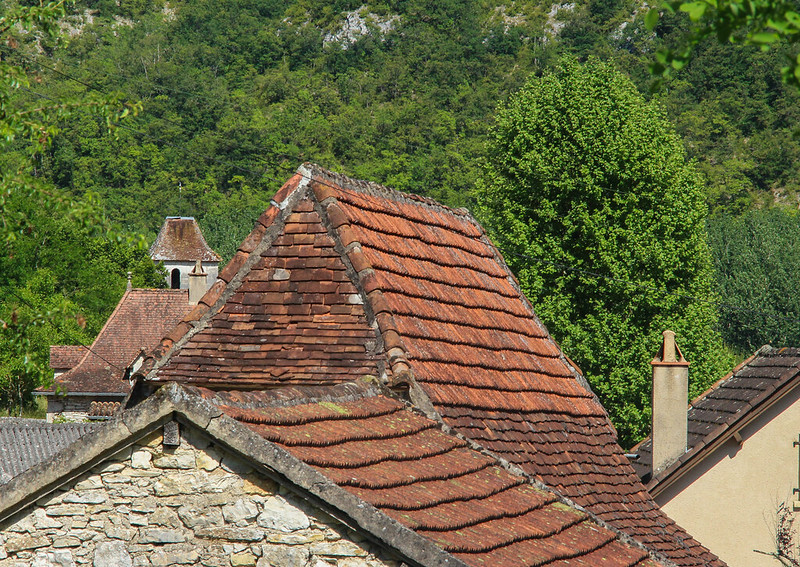
Back on the plateau, I wandered through small villages and along lanes lined by stone walls.
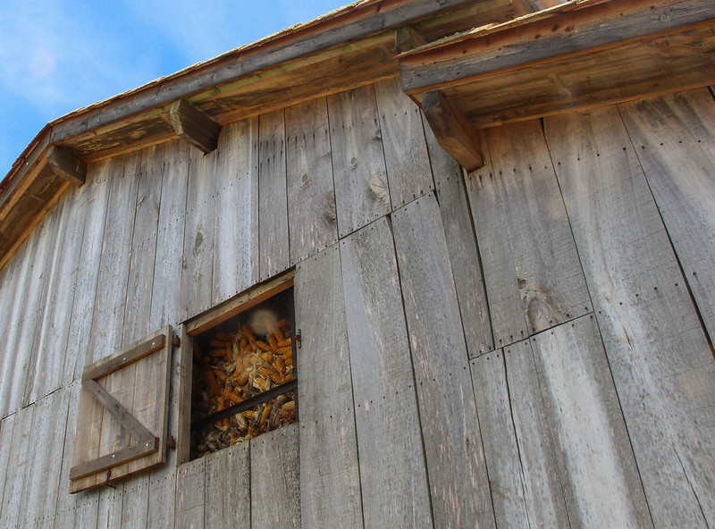
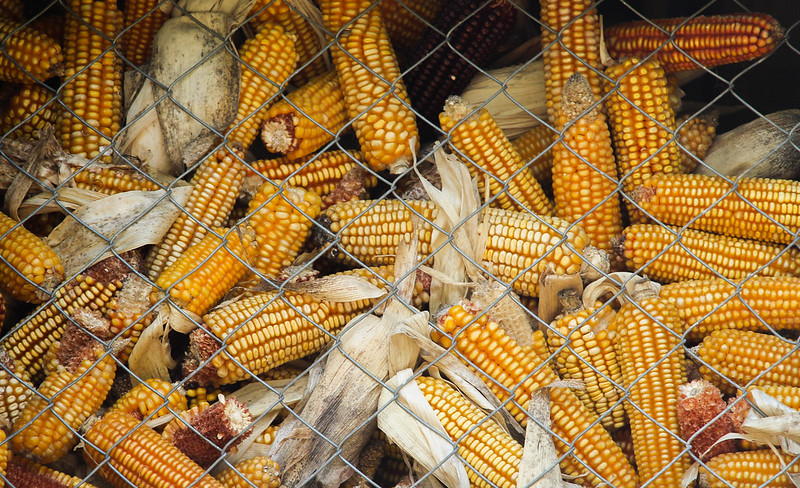
An old barn was full to the brim with corn.
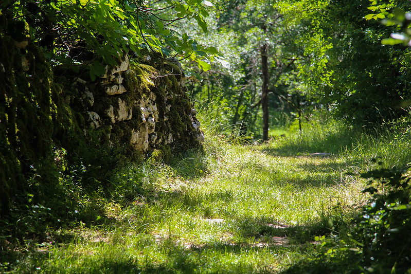
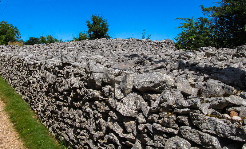
One of the walls became immensely thick, maybe 20 feet so, for quite a distance. I can only imagine that this is where they put the rocks cleared from the fields, a thankless, endless, task in this region I would imagine.
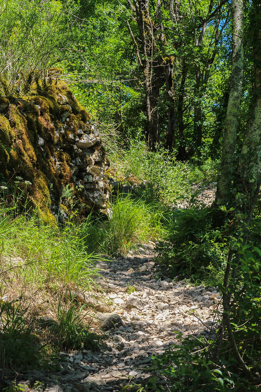
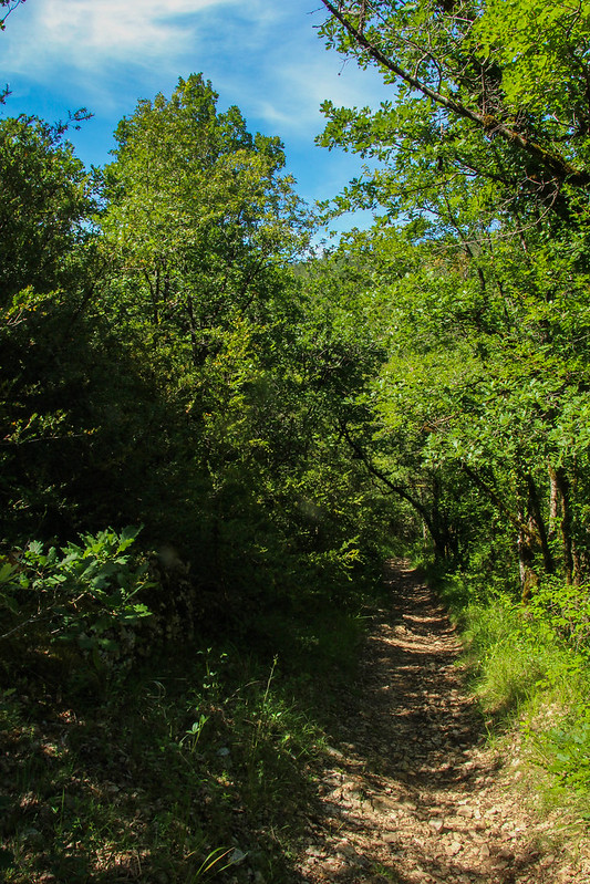
Dropping now into pine forest, I was on the final leg back towards Brengues.

At last I was back in the valley, with just a short walk back to my boiling hot car.
This is a truly lovely part of the world, beautiful but on a manageable scale, and so peaceful its quite hard to adjust now I've returned! Its not the Highlands, but it is well worth a visit.
