free to be able to rate and comment on reports (as well as access 1:25000 mapping).
This report covers the first half of the Laugavegur trek in Iceland - from Landmannalaugar as far as Hrann
Before starting the trek, we did the
Suðurnámur ridge as an afternoon walk from Landmannalaugar.
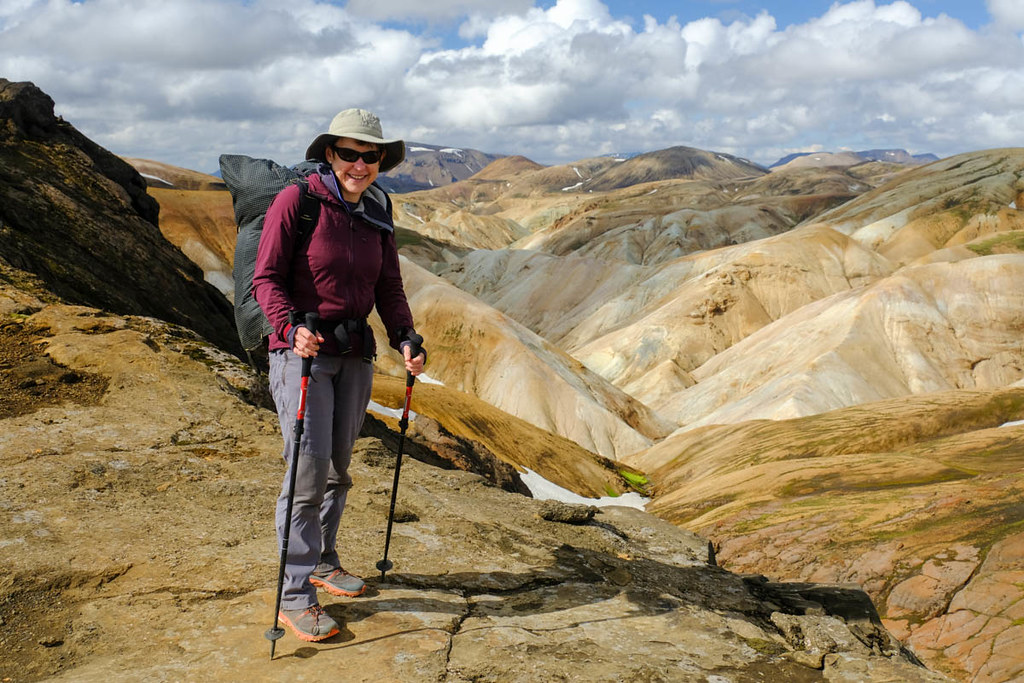
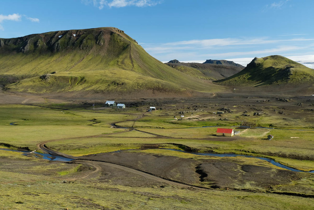
The next morning we got up early at 6.30 to pack away the tent and begin the main trek - we expected it to take up to 4 days and so were carrying alot of food. After crossing an initial lava field on a built path, the trail becomes less formal but is well marked with posts. It ascends the hillside along the far edge of the lava field, heading towards a geothermal area.
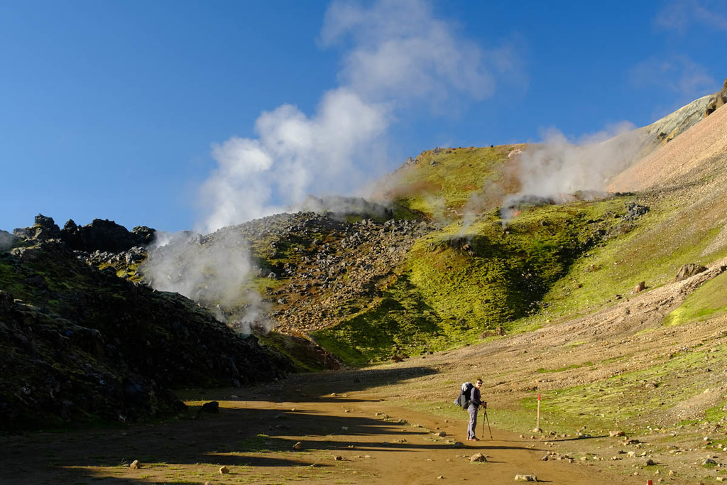
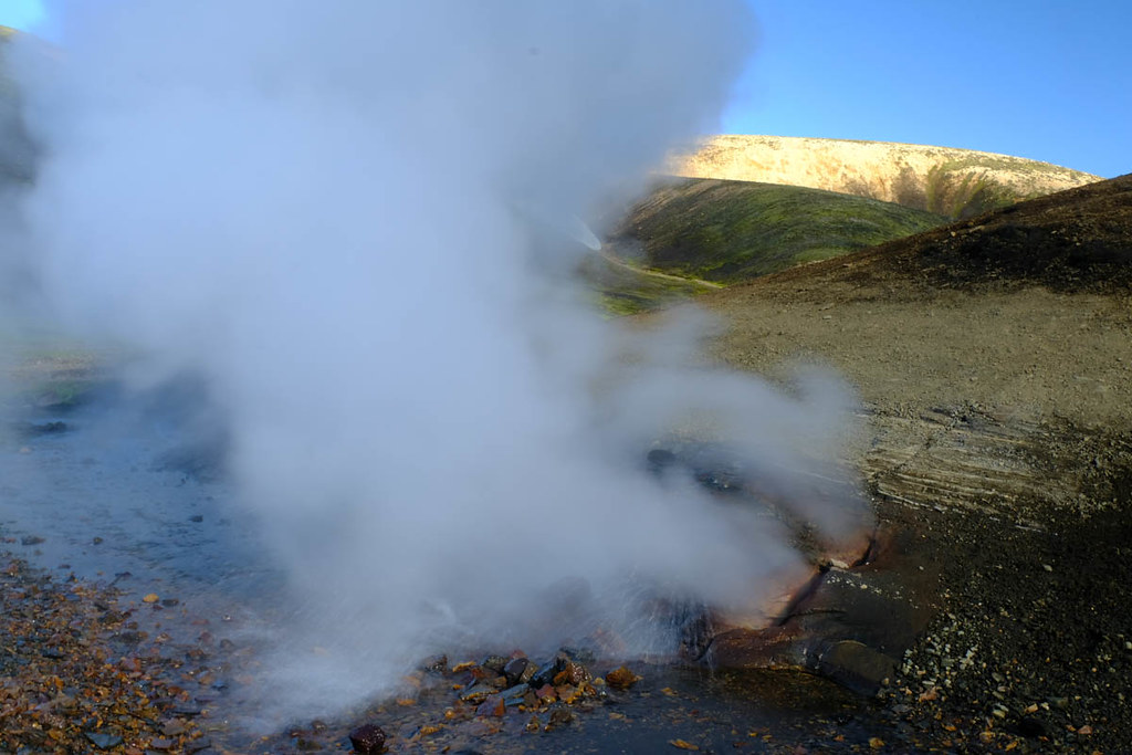
The path leads past many steaming hot spots, and there's a real sulphur smell.

Looking back.


The route then follows a hot ridge...
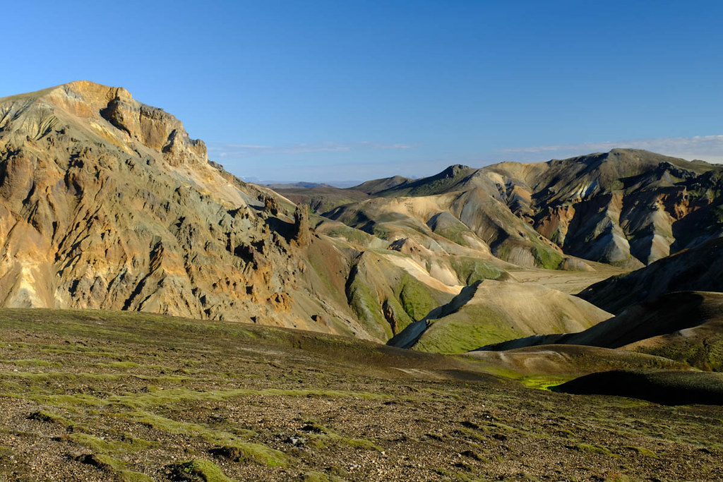
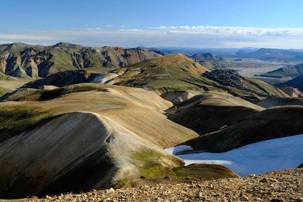
Once on higher ground the landscape changes and the route follows a stony, rounded ridge through the rhyolite mountains.

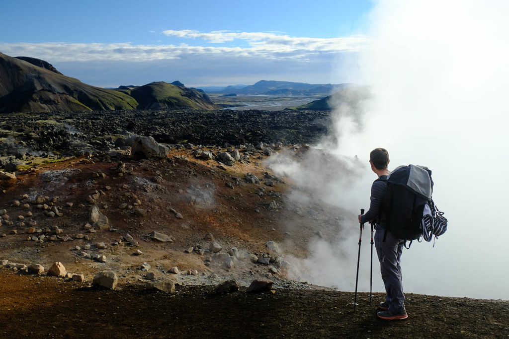
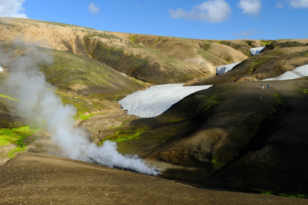
There are views looking down to more large geothermal areas.

Last view back towards distant Landmannalaugar.
The route is now over a high plateau - there are many posts, but it's said to be easy to lose the route in the very frequent poor weather (not what we had!)
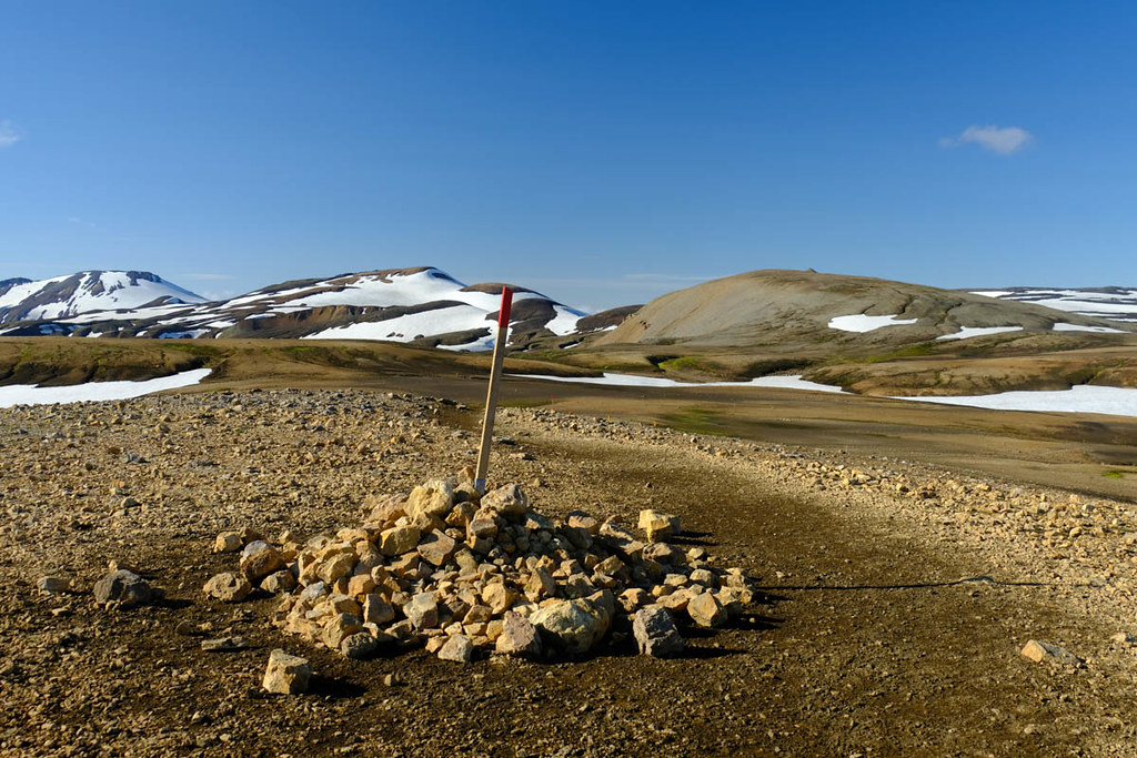
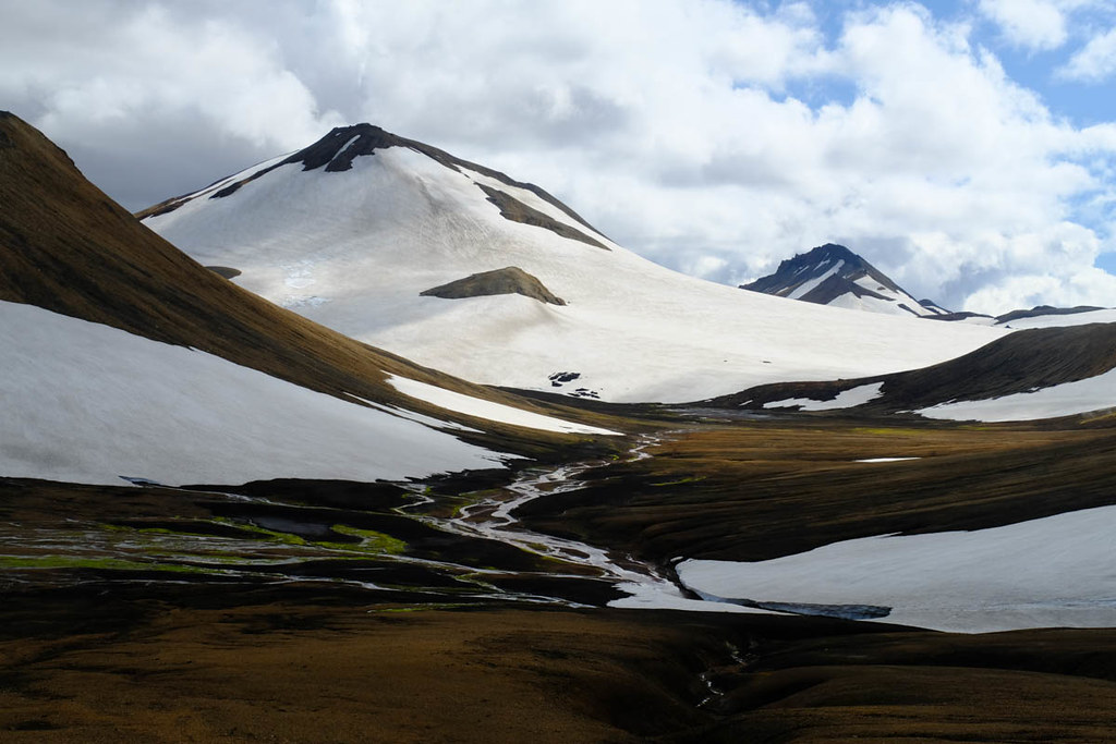
There were many patches of snow to cross, despite it being the second half of August.
More blue rocks.
Soon the route made a series of further climbs.

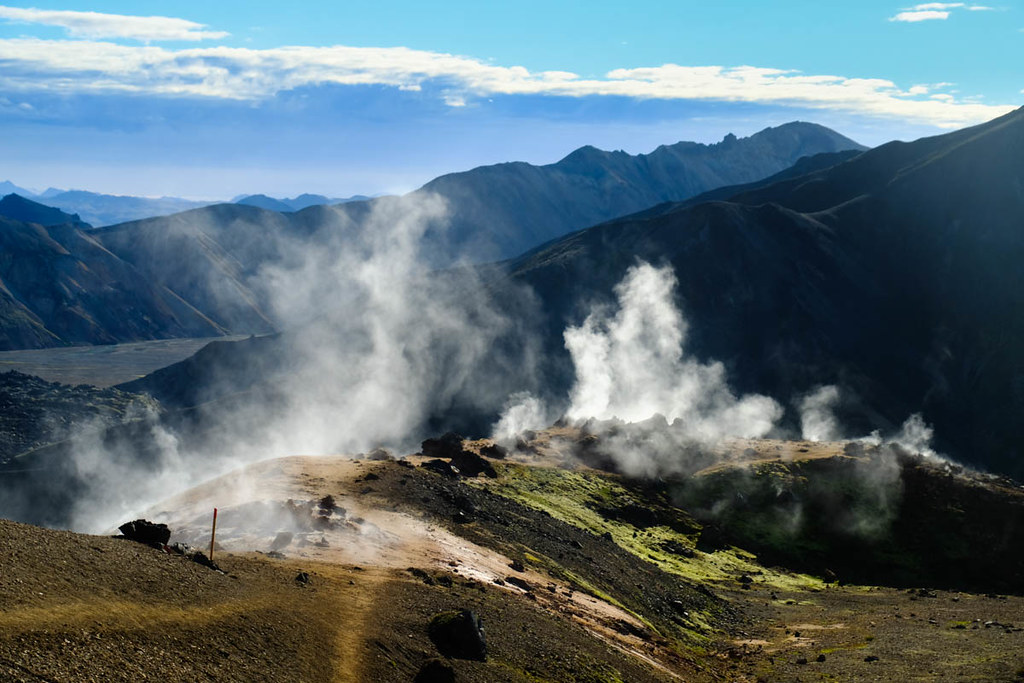
It passed right next to some intense geothermal areas - this one was spurting out boiling water in frequent bursts as well as all the steam, whilst some small puddles were constantly boiling.
Looking back.
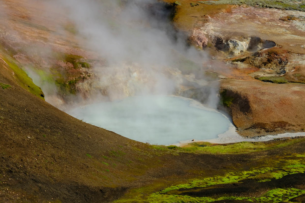
Hot lake.
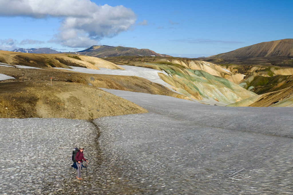
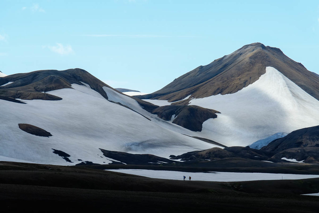
After the final climb there was a very large and snowy plateau to cross.

Before a slight descent to reach the small hut and camping area at Hrafntinnusker. This is the end of stage one in our guidebook. The weather was still superb, but forecast to deteriorate, and given how exposed the camping spots looked we decided to push on. Mostly because it was only 11am!

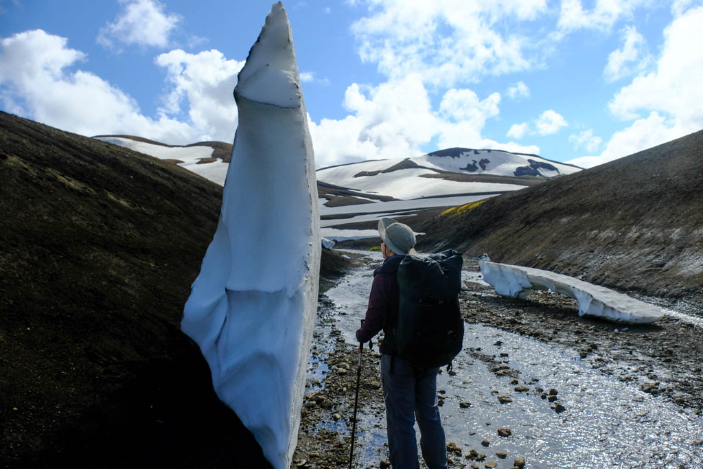
Soon the route led down into the first of many little ravines. The first one had mostly melted but still had some big ice blocks.
Looking back to the Hrafntinnusker hut.

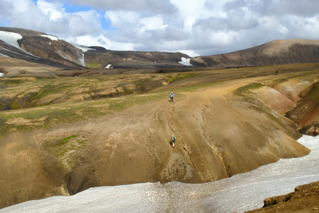
The trek continues through superb landscapes, every now and then with a steep-sided ravine to cross. Many of these were made easier by snow bridges, but in places the path involved steeply climbing and descending on very slippy gravel.
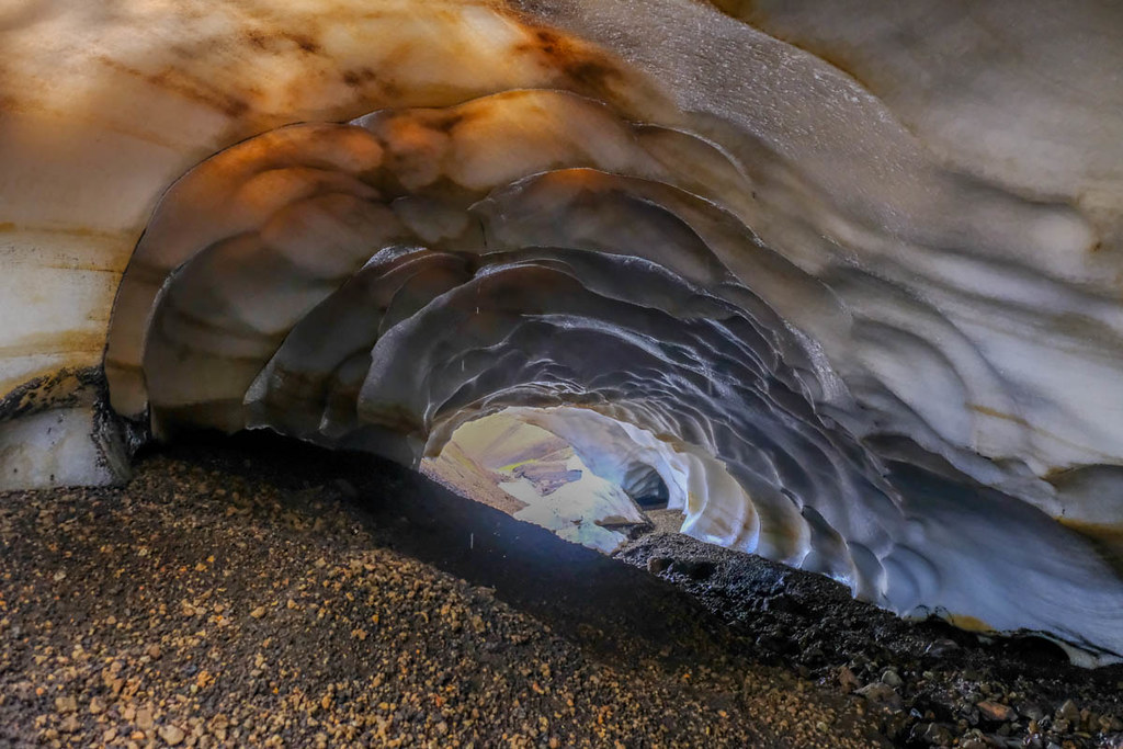
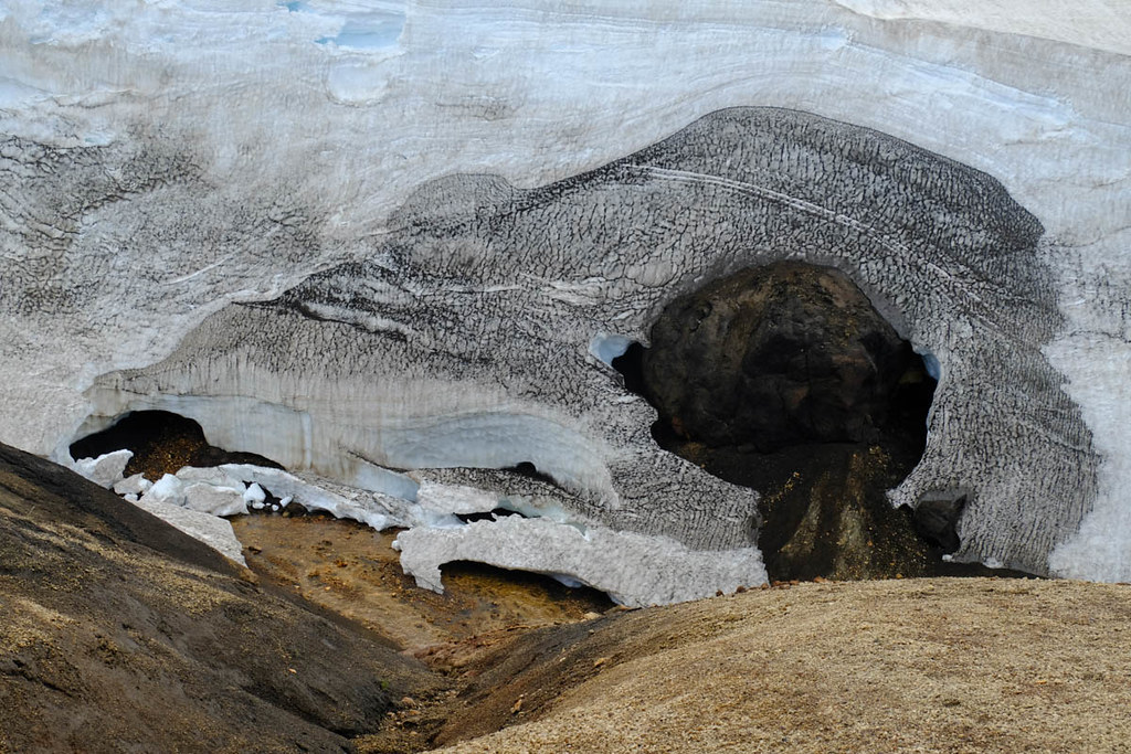
Some of the ravines had ice caves in them.
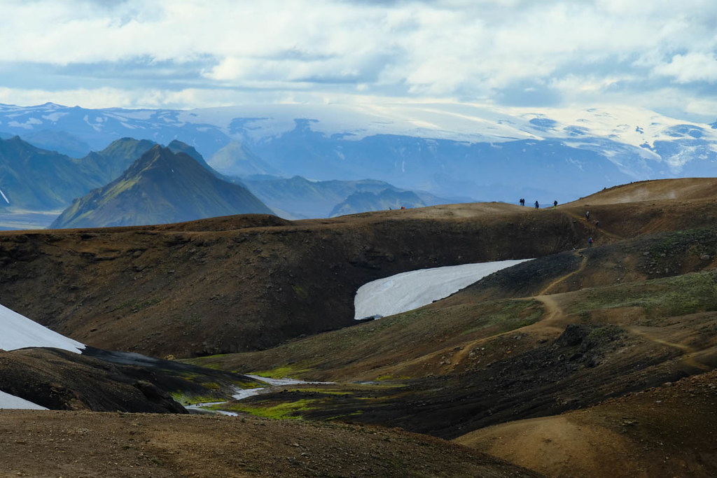
Eventually a new landscape began to open up ahead. Distant ice-caps could be seen at first.
Huge ice cave.
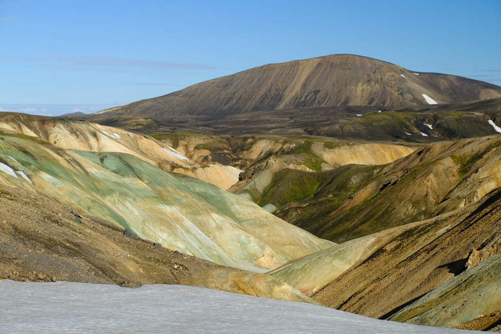
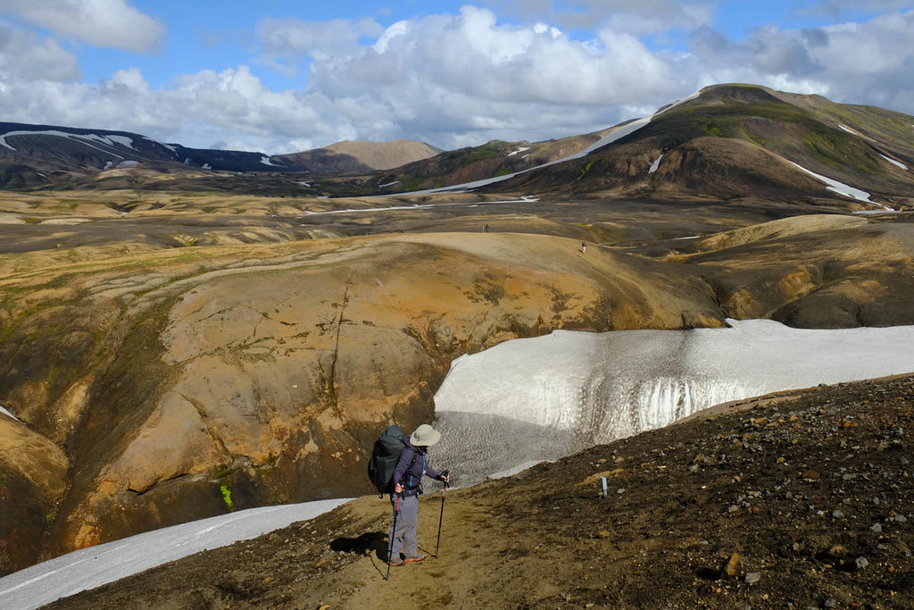
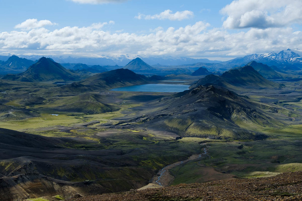
Then the plateau began to relent and the route descend towards a lower, greener area dotted with sharp island-like peaks, a bit like Assynt on steroids.

The path climbed a little...

before descending steeply at last. Given our early start, the trek had been reasonably quiet so far, but at this point we ran into large numbers of people including a big group who had all spent the night at Hrafntinnusker.
Once down on the plain the walking was easier.
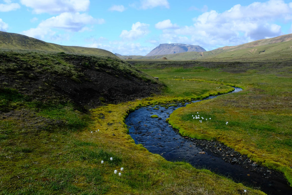
Soon leading to Altvatn - the end of the usual second stage, where there is a hut, camping area and a wee food shed in a fine location by a lake. Most people break the journey here, but given the fine weather was still holding we decided we could push on still further - which would also give us the option of completing the Laugavegur in 2 days (if we did another very long day tomorrow) - freeing up a spare day that would mean we could attempt the Fimmvörðuháls pass after we finished the Laugavegur.

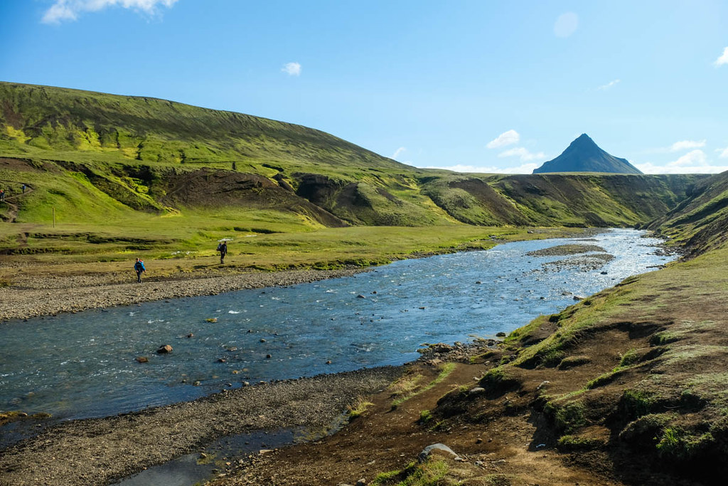
After an initial climb we reached the first of several rivers that have to be forded on the Laugavegur. This one wasn't very deep and was actually very pleasant to cross (in sandals) given the fine weather.
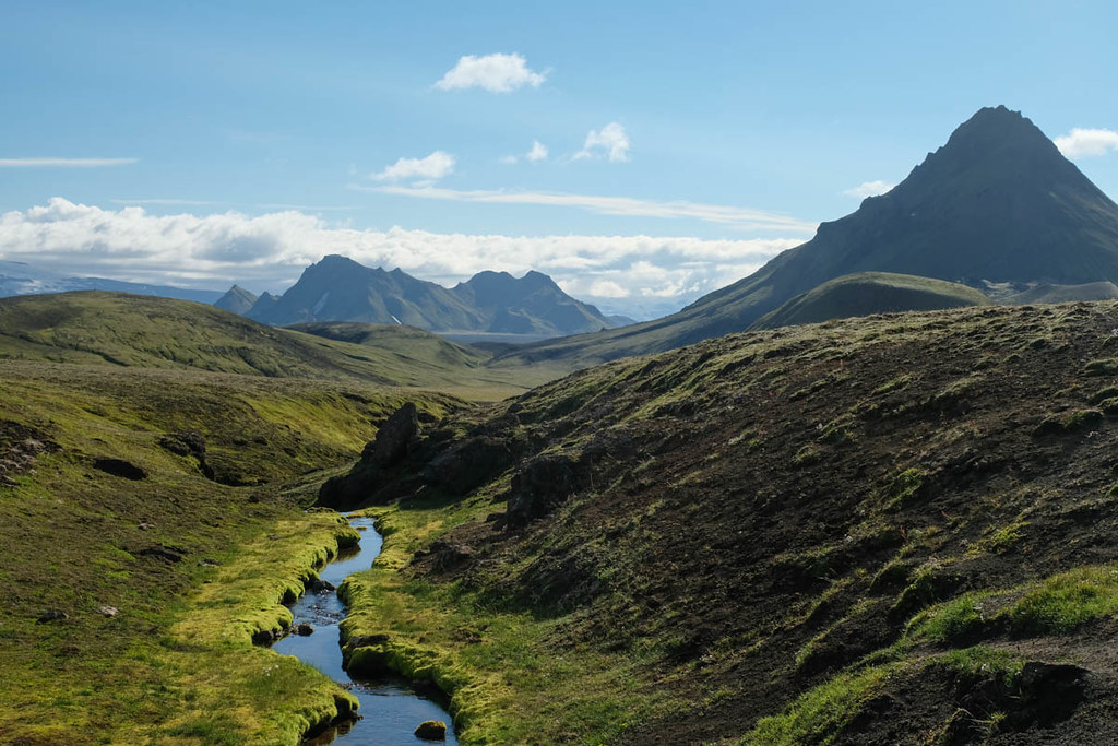
Descent to the hut and camp area at Hvangill. This was very quiet - a real relief after Landmannalaugar - as for most people this hut is early on their 3rd day.
The camping area is set amid alot of huge blocks of lava.
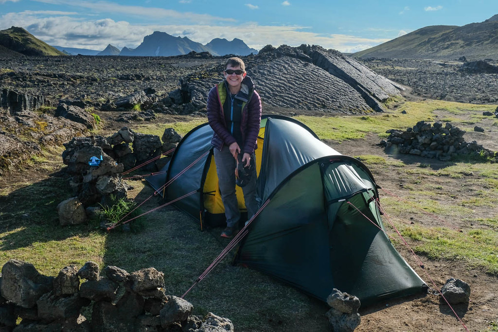
Once installed in the tent and after making a meal, the weather broke and the rains began... But we felt very lucky to have had such superb conditions to this point.
Continued in
Part 2.
