free to be able to rate and comment on reports (as well as access 1:25000 mapping).
Previous dayIt was the final day of my wee holiday weekend in Englandshire and I was hoping for a walk somewhere in the right direction of Home. I’d had my eye on Sharp Edge on Blencathra for a while having read about it in a magazine somewhere. I had climbed Blencathra before, I think via Doddick Fell when I was a lot younger but I had the idea of a full traverse with two cars….the parents were on board and we set off from Langdale in fairly heavy rain

Confident that it would improve (the forecast was for less than 5% rain

) we continued with the original plan, meeting at the carpark in Threlkeld at the Western end of Blencathra. It was still raining. I jumped ship and we all drove a few miles down the A66 and parked in one of the laybys near Scales Farm.
The rain had now stopped although it was overcast and clagged oot. Positive outlook dialled up to 11 we booted up and (after initially going the wrong way

) headed up the correct path
After a few hundred metres we parted company – the folks heading for Doddick Fell and I heading for Scales Tarn and Sharp Edge. It was to be a Top Gear Challenge of sorts – we would meet at the top, the first to arrive would have the bragging rights….
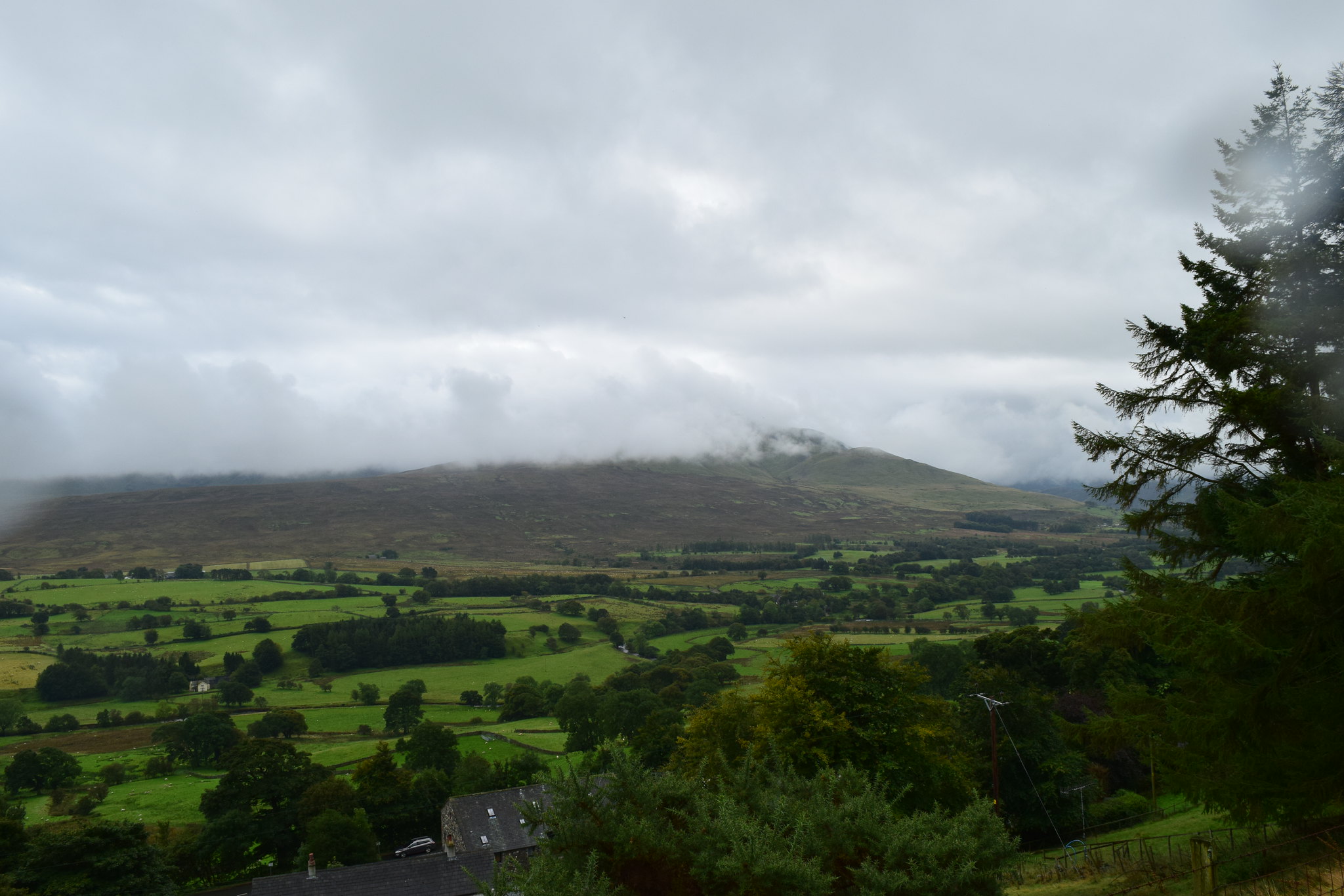
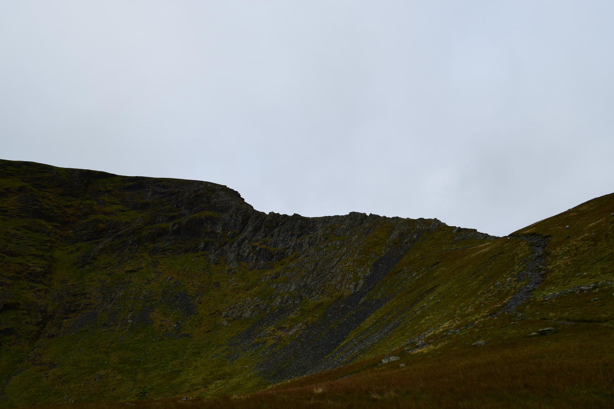
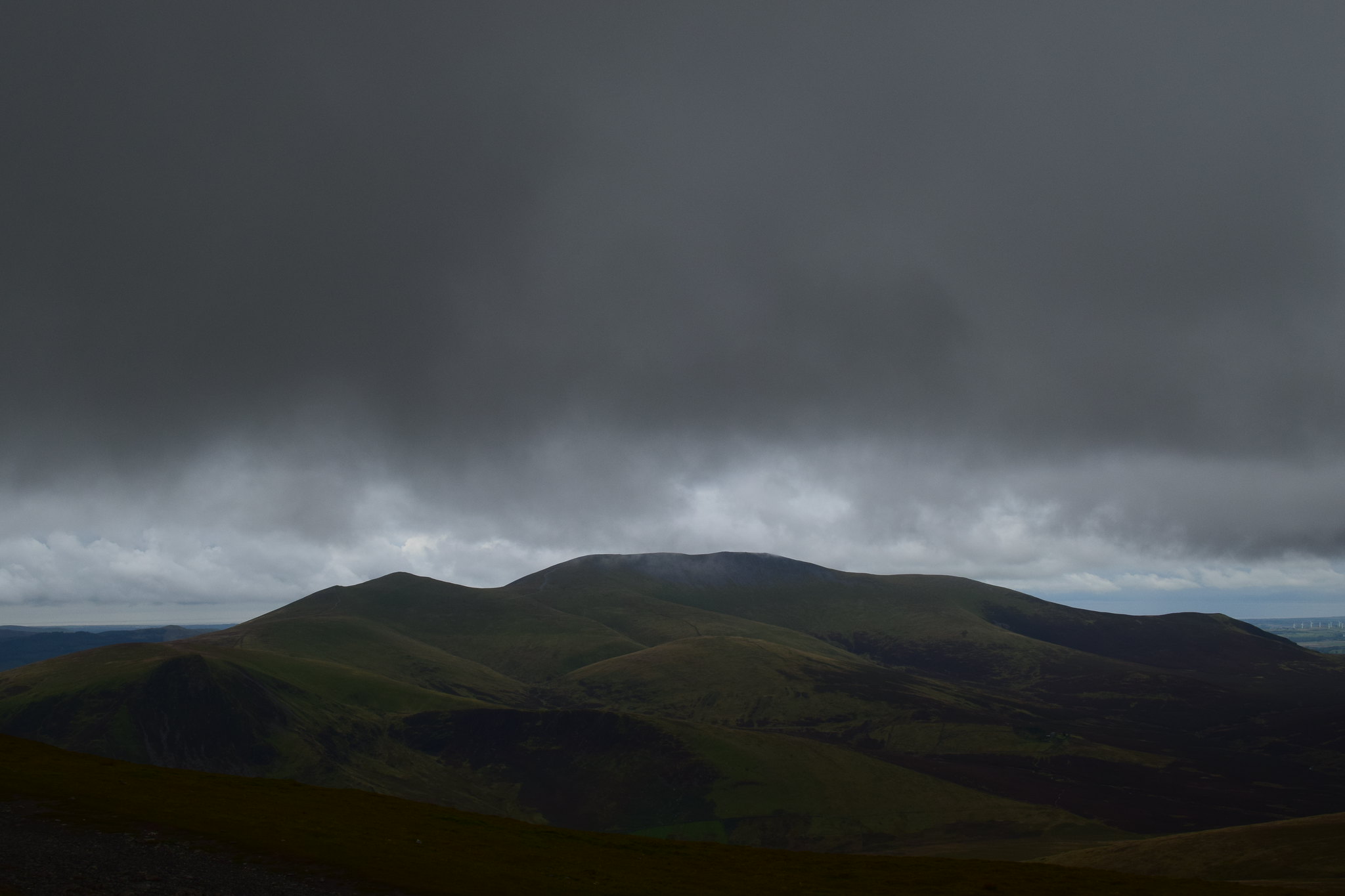
Looking back the way the views towards Great Dodd weren’t hugely promising….

Jaxter Clarkson headed along the path past the back of Scales Farm and then upwards on the Scales Fell path. The path bent around and I saw people heading up a different path aiming for a bealach of sorts.
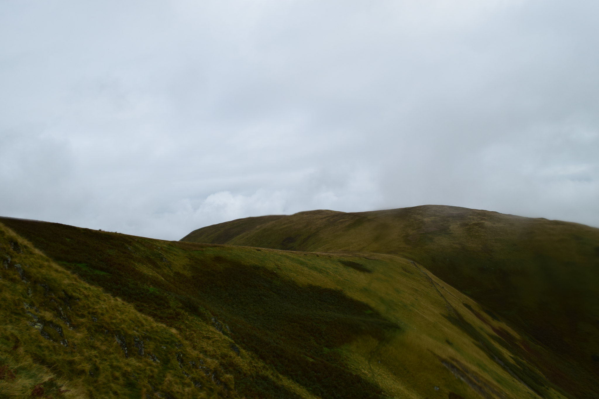
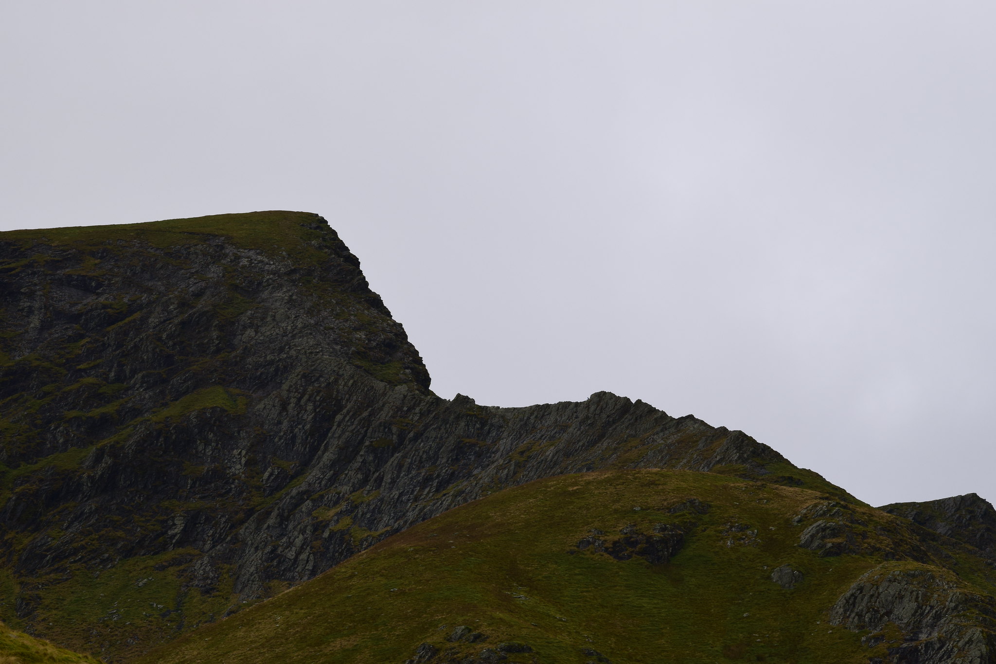
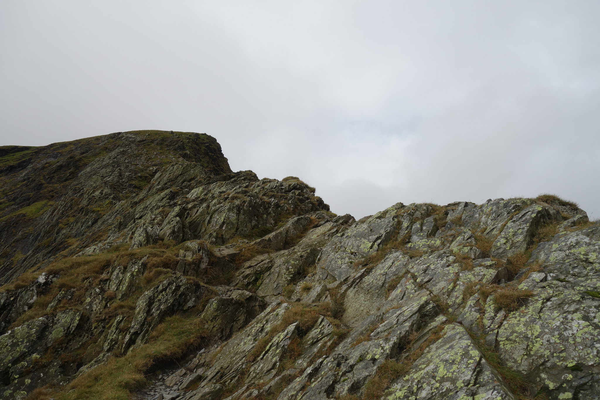
Ignoring the path to the left up Scales Fell; the “tourist path,” I continued up the Glen following the River Glendermackin. Sharp Edge was beginning to come into view…
As I made my way up the glen the edge was looking more impressive
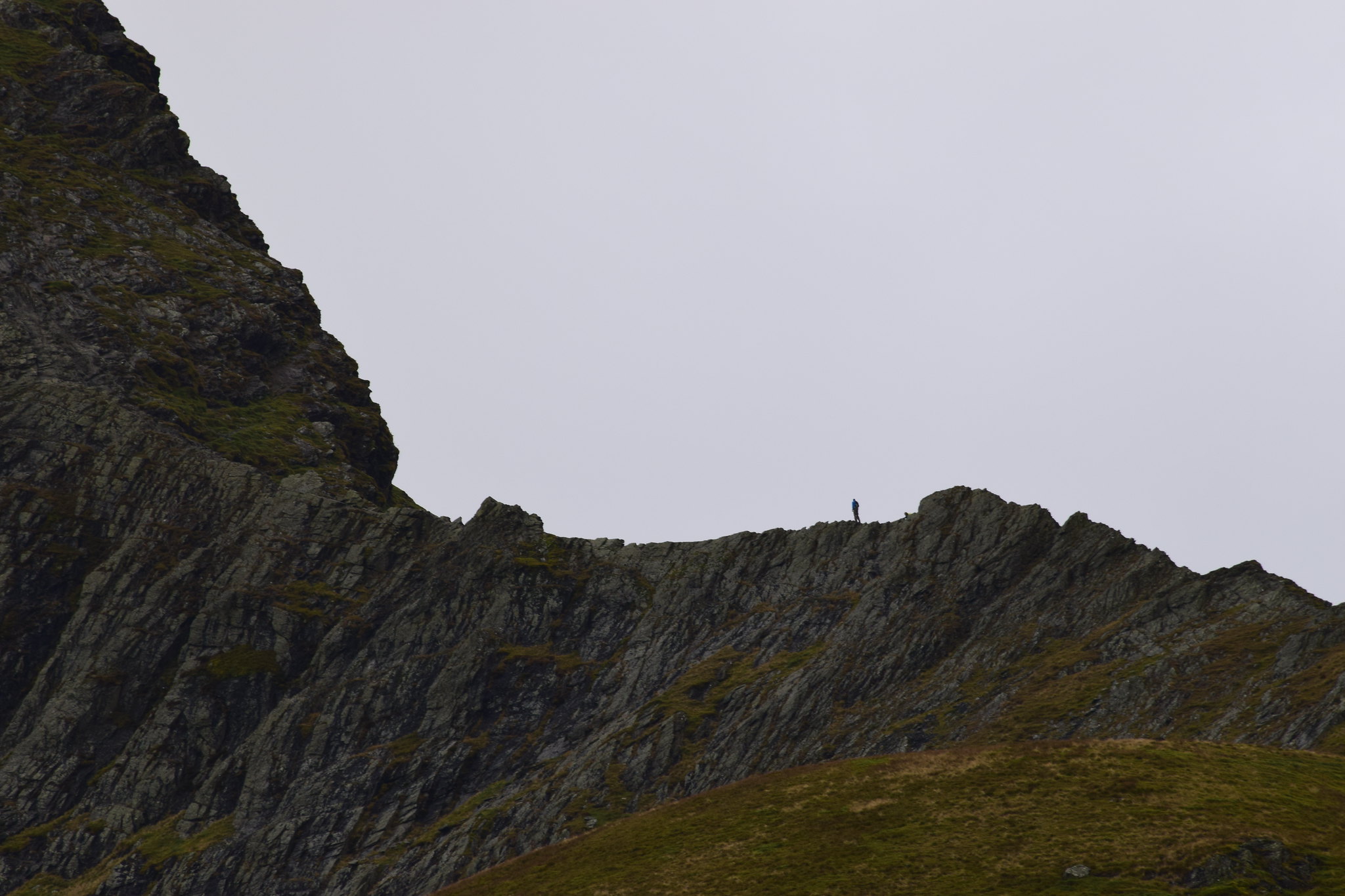
I could see someone ahead on the ridge; this was a good sign as it suggested the slate on the ridge was dry

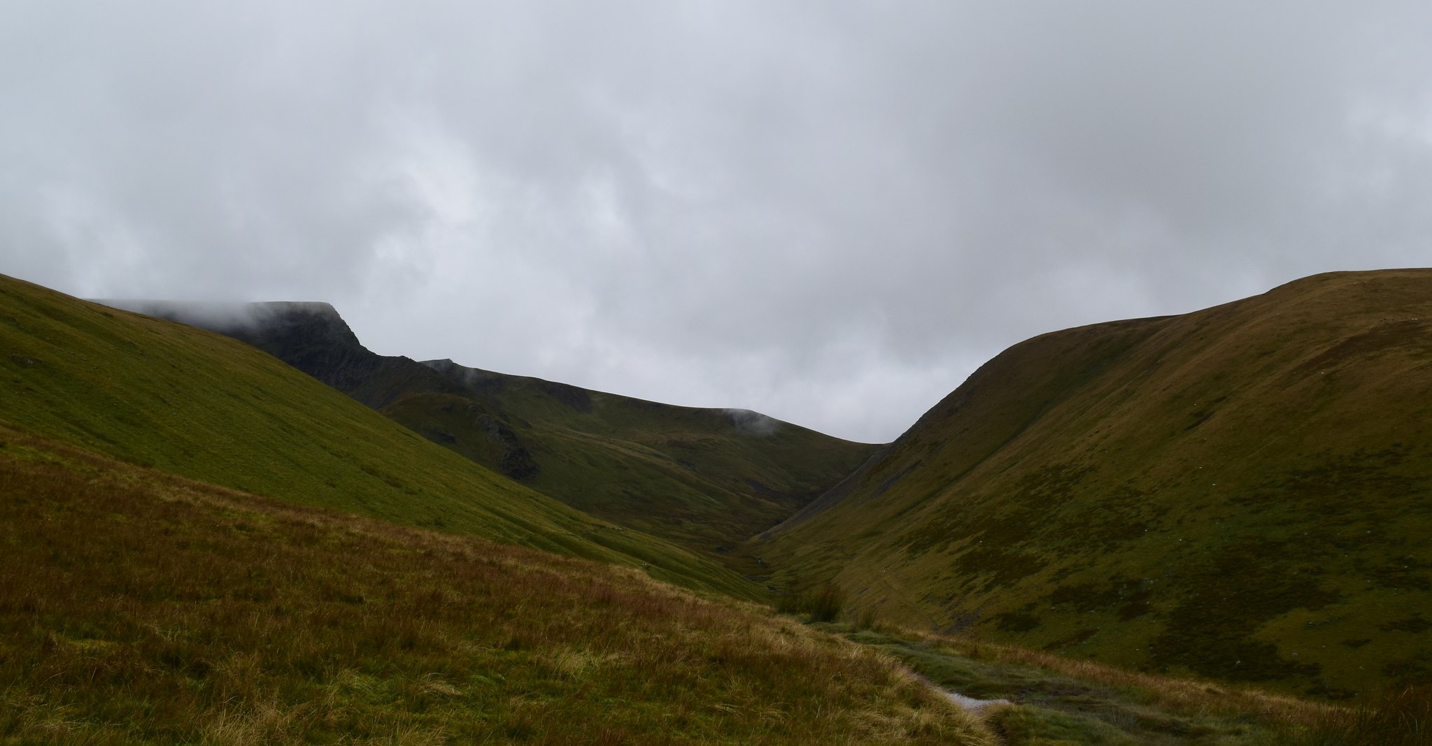
The final scramble
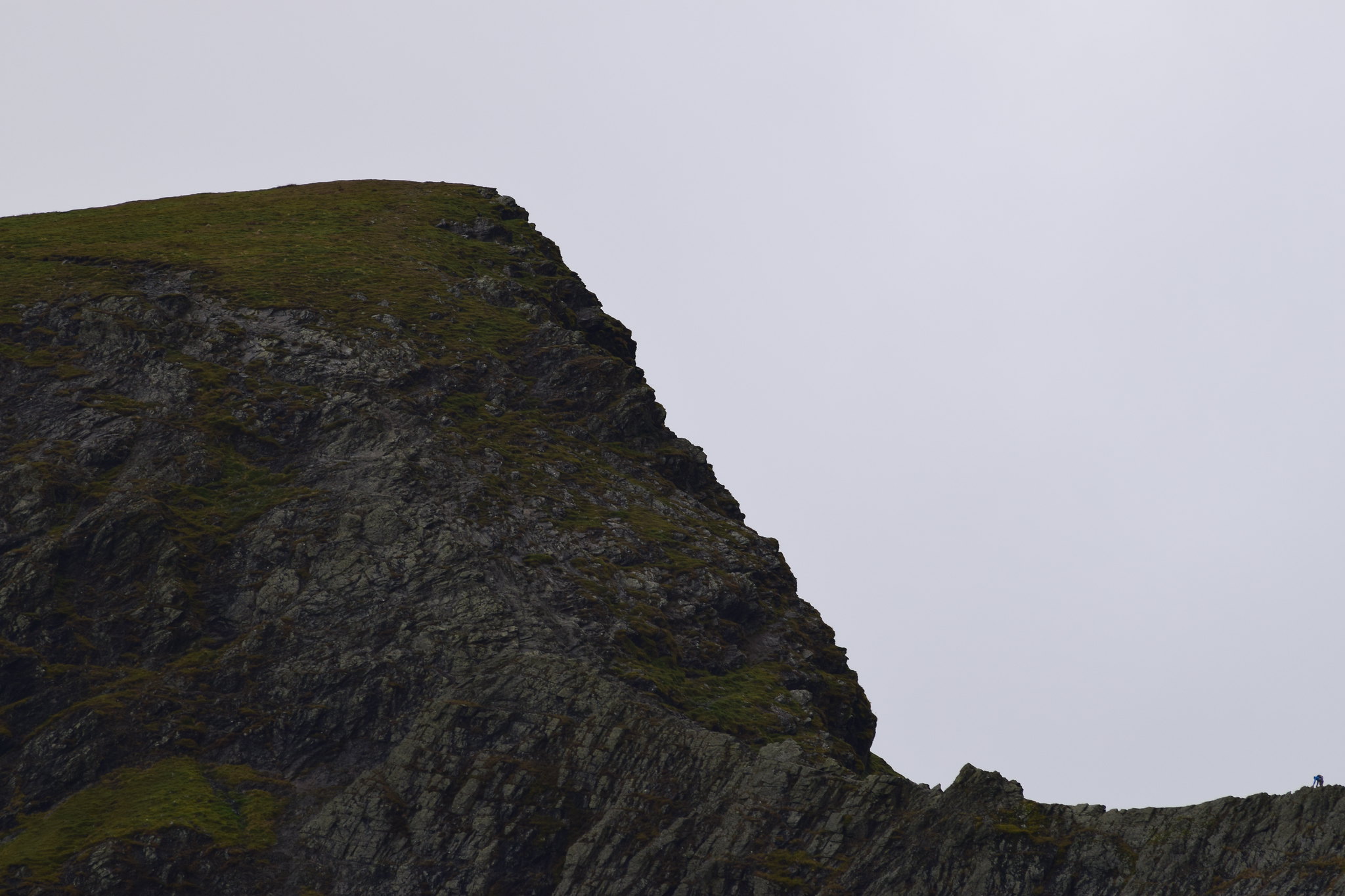
The final climb up to Scales Tarn
Although it was by no means a sunny day as forecast, the weather was at least brightening a little bit
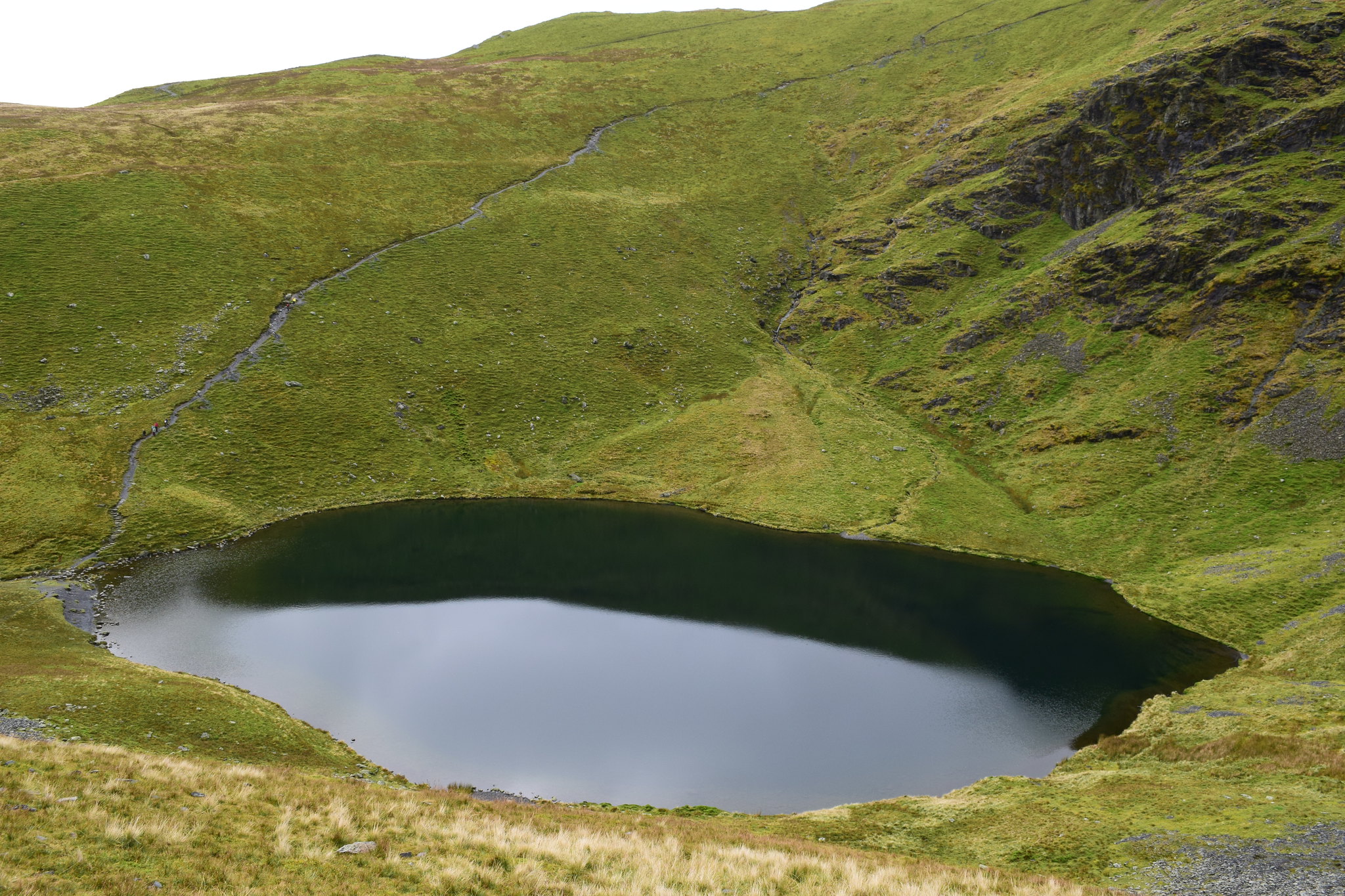
As I reached Scales Tarn I could see the whole length of Sharp Edge. It was decision time…was I going to go for the ridge? Ach of course I was
Scales Tarn with Tarn Crags behind
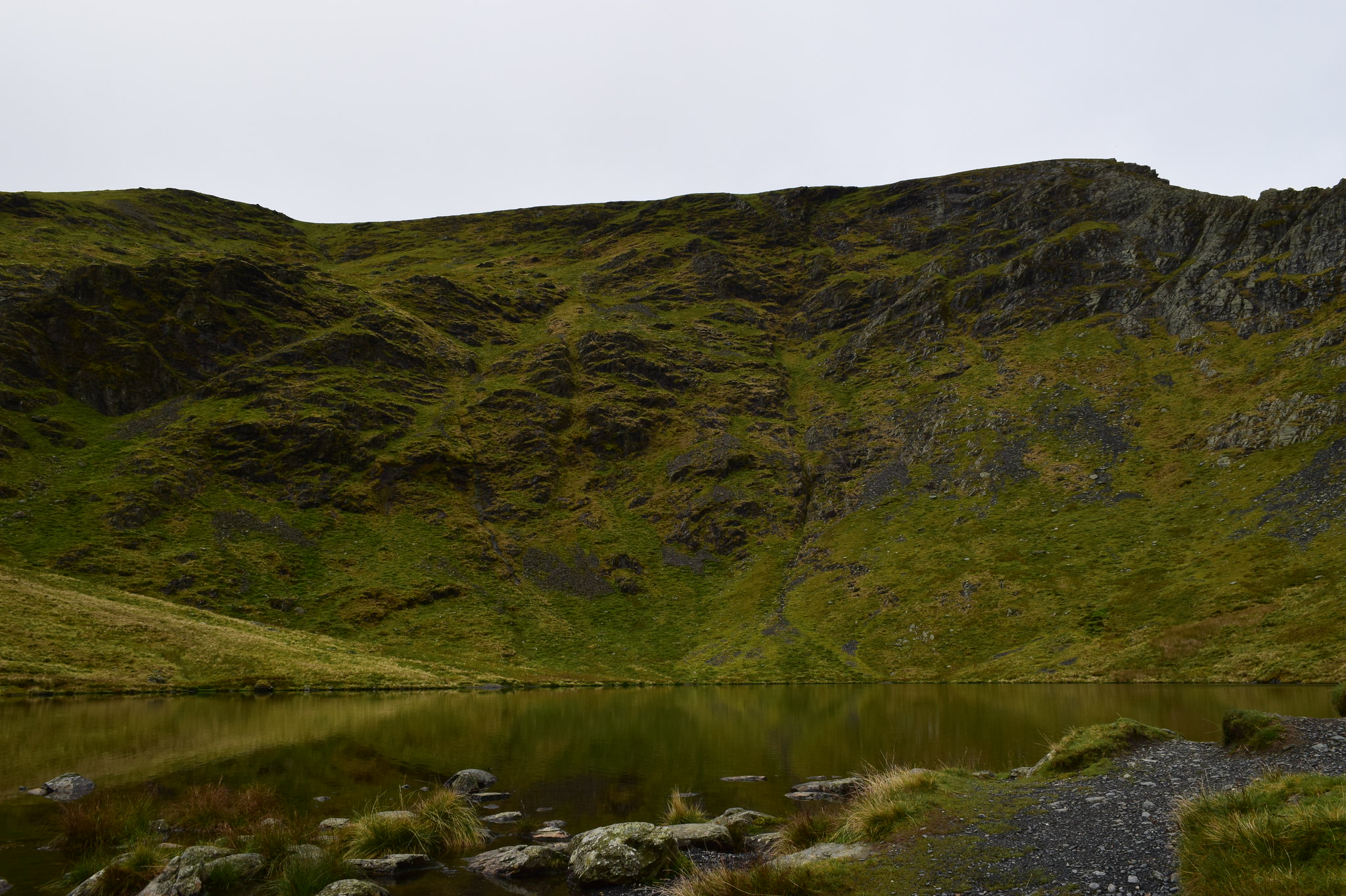
Scales Tarn and Sharp Edge
I removed some clothing as I was warming up and headed up the path to the beginning of the ridge. Scales Tarn looked pretty cool from above
I put the big camera and poles away and set off along the ridge. It was easy at first and I stuck to the crest to get a feel for the rock. The Skiddaw slate that made up the ridge was dry and as I tried my boots on it I discovered I got grip although I wouldn’t want to trust it the way you would Skye Gabbro
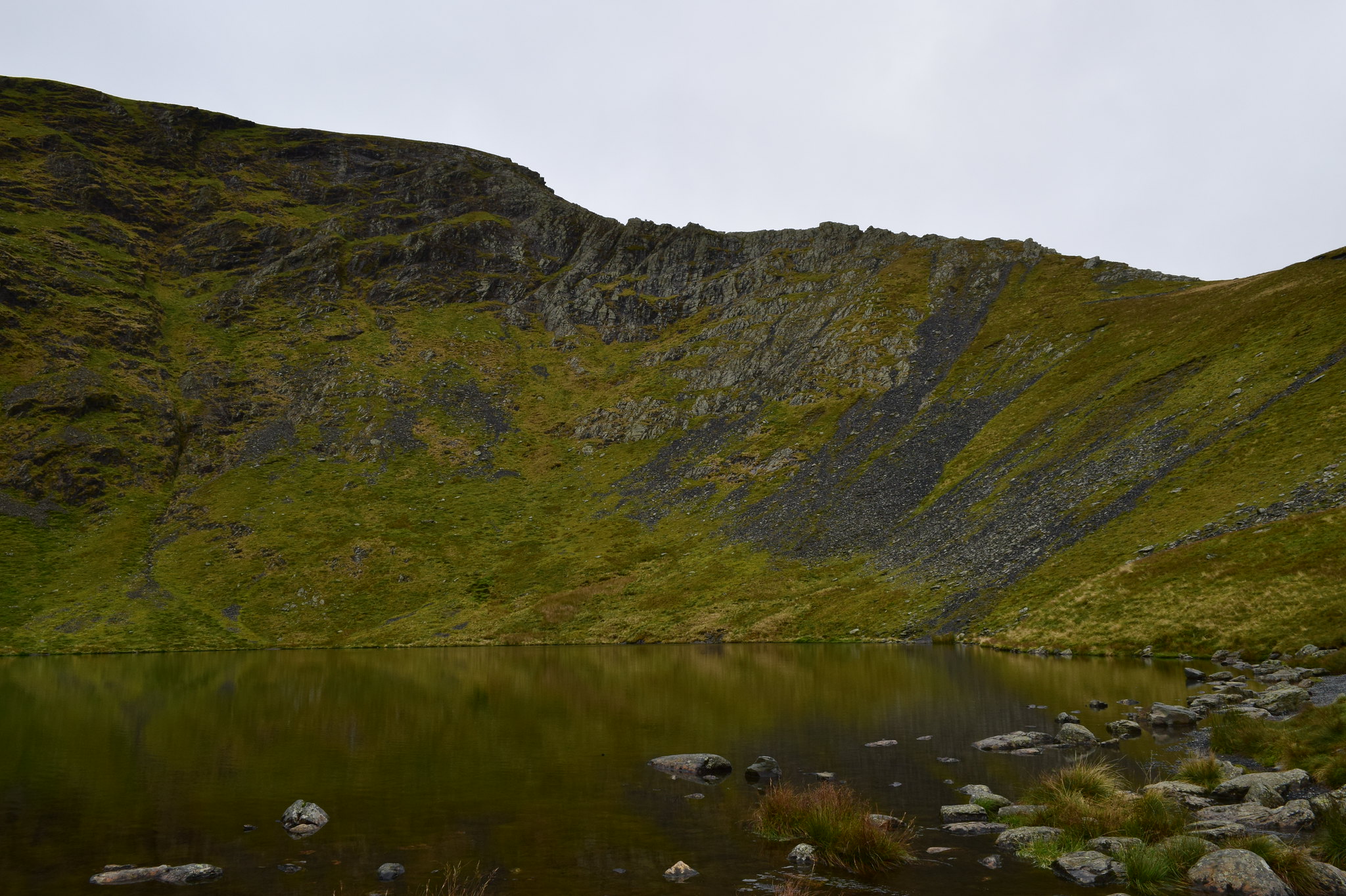
The ridge ahead
Up on the crest I could see all the way along

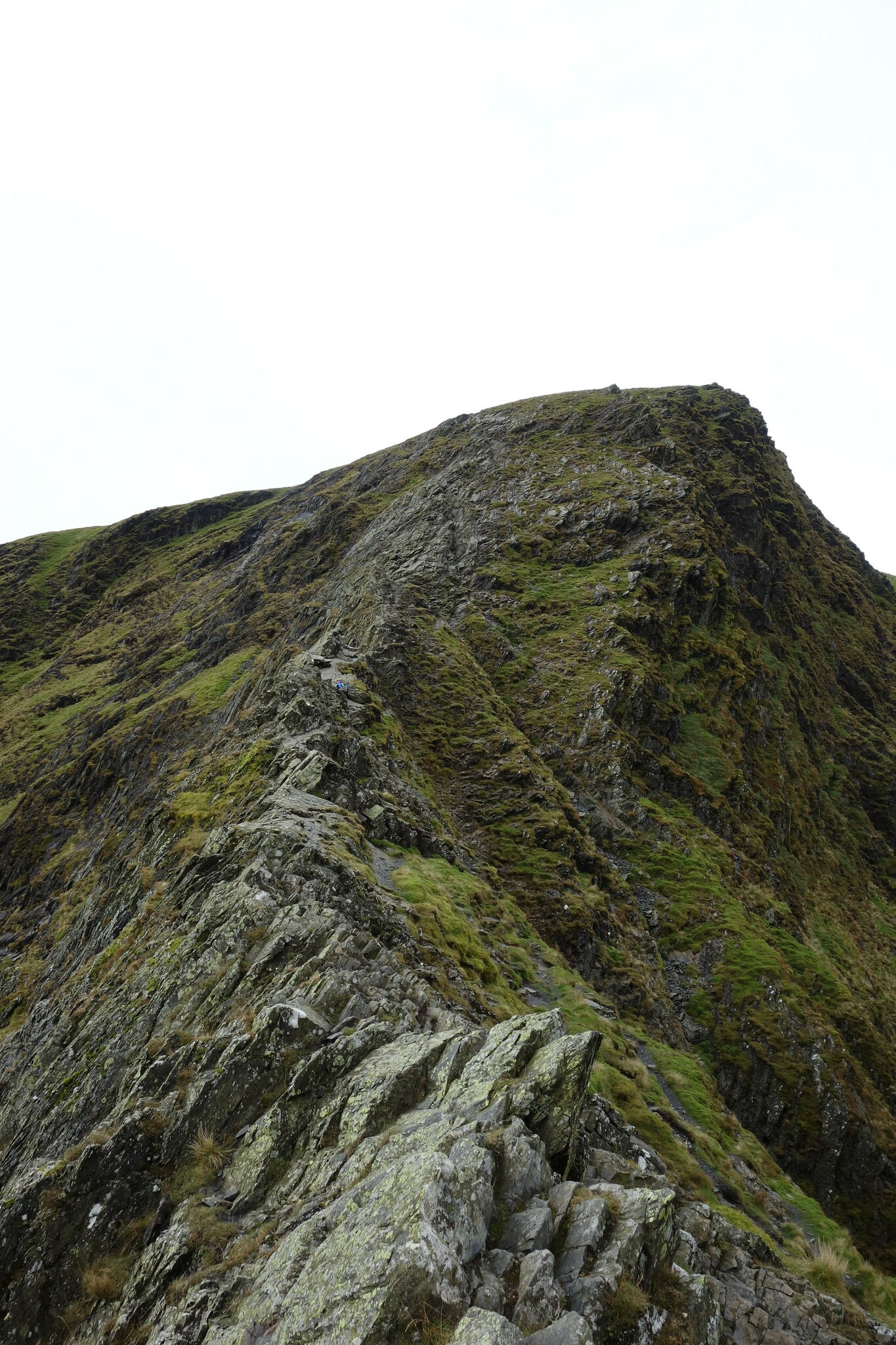
The drops were initially nothing to worry about but as I made my way along the exposure became greater. There was nothing difficult but there were a few awkward moments and one section that I crawled across on my backside just before catching up with the couple who were ahead of me, one of whom had become cragfast. I stopped to try to help but they seemed to be ok and as I continued I could see them slowly making their way back down the ridge
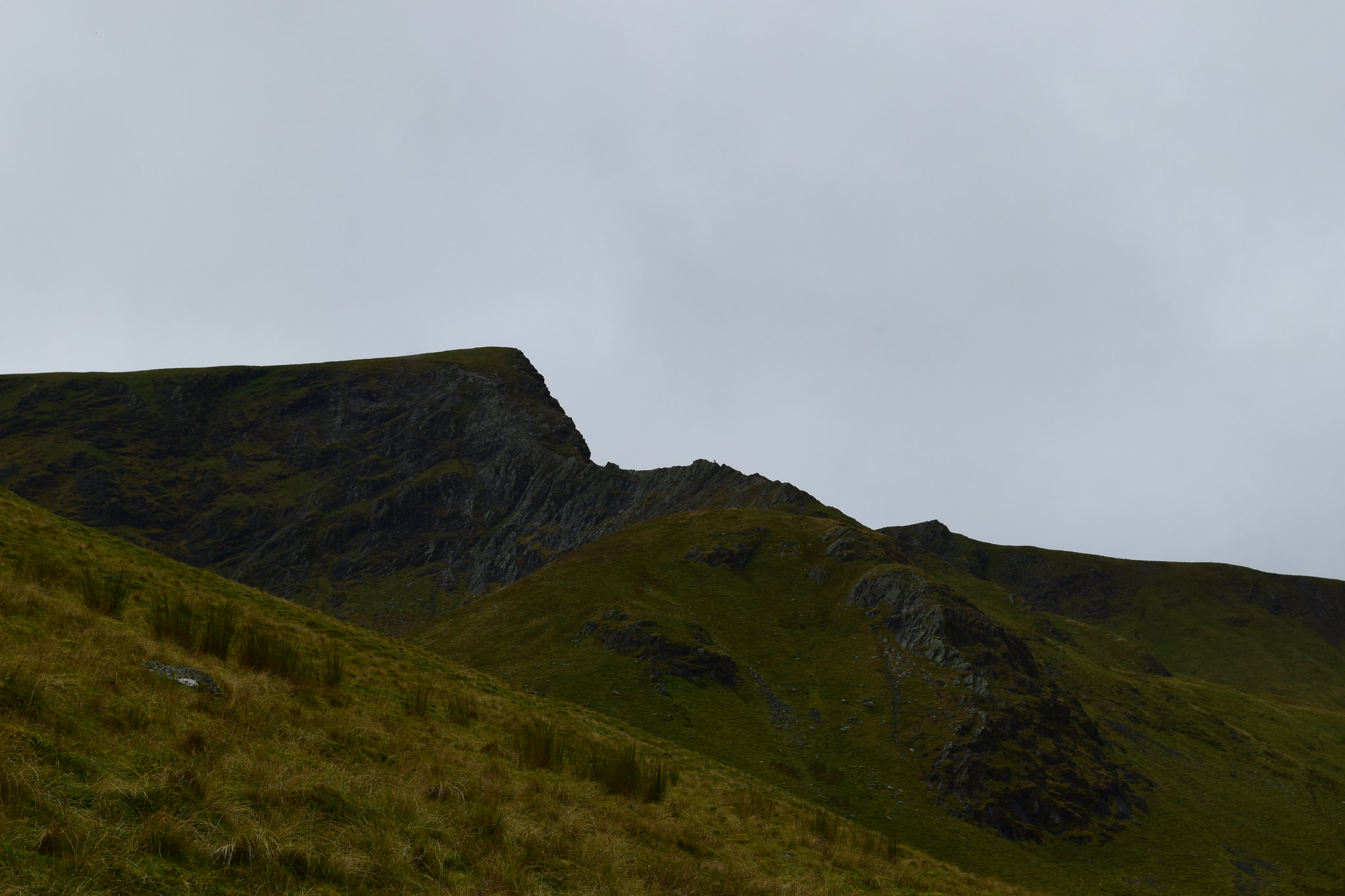
The next obstacle was the Bad Step – a large sloping slab of rock. In wet conditions this would be hazardous but fortunately it was relatively dry. The few greasy sections were avoidable and the hardest bit about it was the lack of hand holds. I went across it in an undignified manner but most importantly without incident. The next problem was avoiding a fall into what Mountain Rescue teams call the “Usual Gully” – I actually found this trickier than the sloping slab itself although this could be down to me being short
Safely across the dodgy bits I stopped to enjoy the views
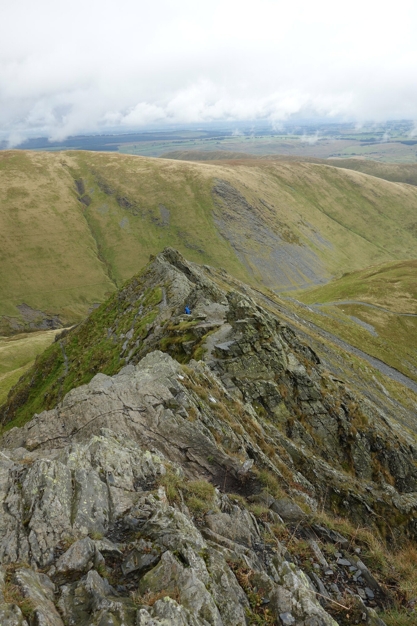
Looking back down the ridge
Scales Tarn

The final scramble
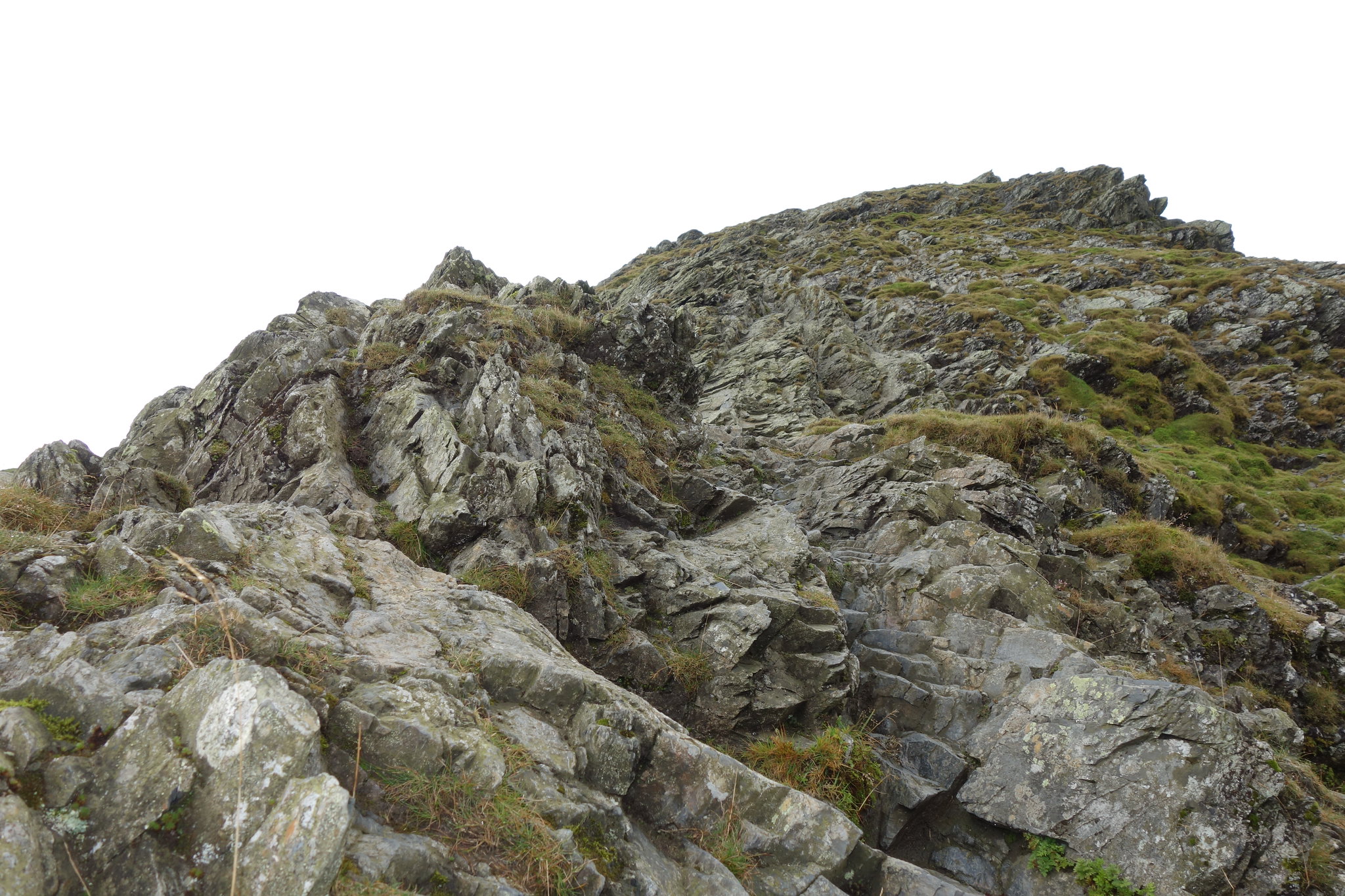
The final section was a steep scramble up a crag. A gully on the right was the recommended route but I decided (by accident
) to climb very awkwardly across to it. I’m sure there must have been a better route as I struggled with my short limbs
Once into the gully it was an easy scramble up to where a path started to emerge. Although there had been a few drops of rain during the final section it had fortunately not come to anything!
At the top looking back down Sharp Edge
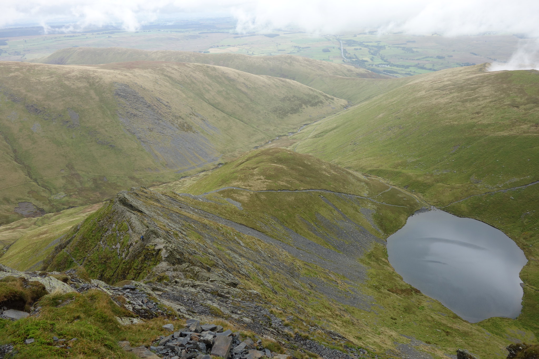
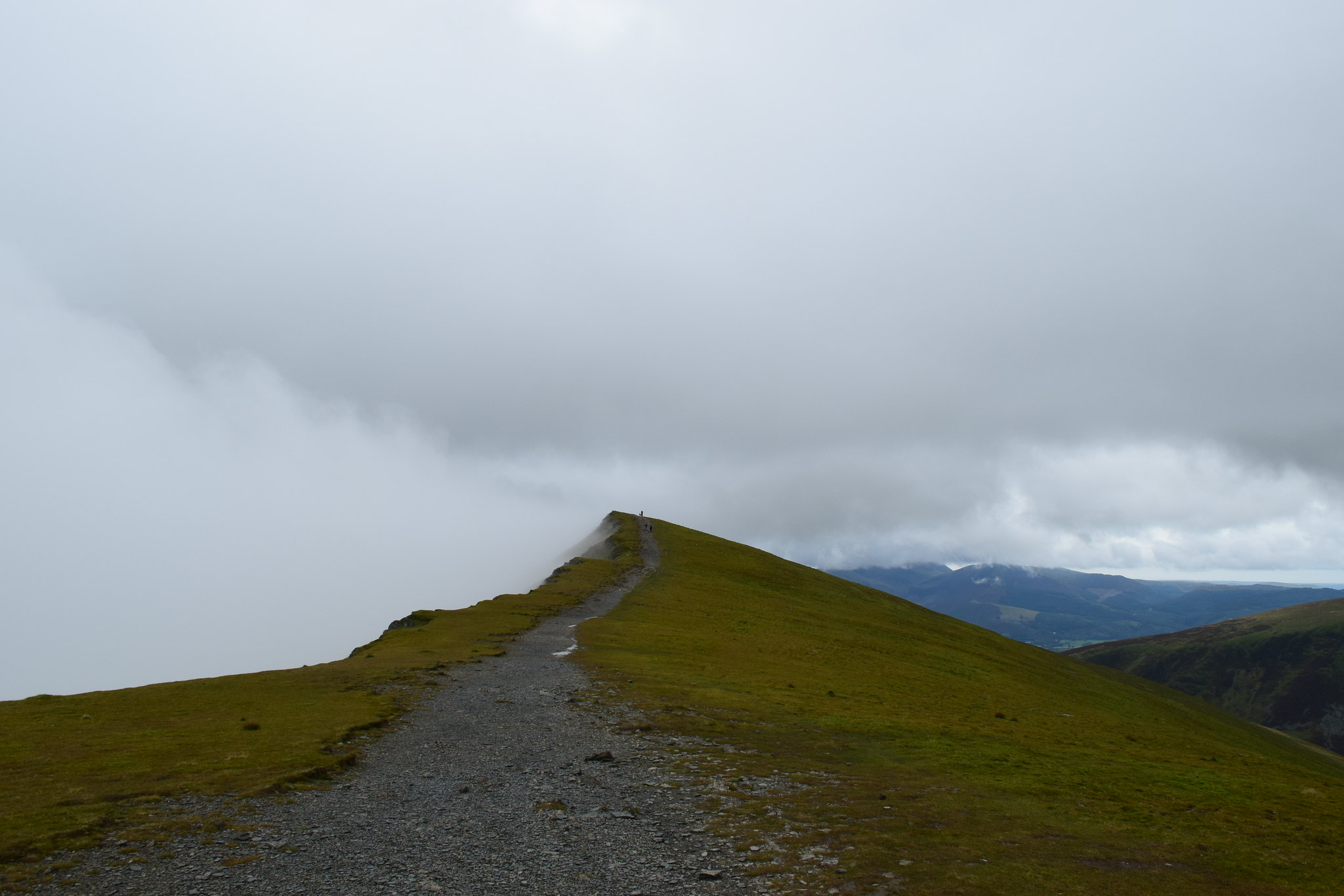
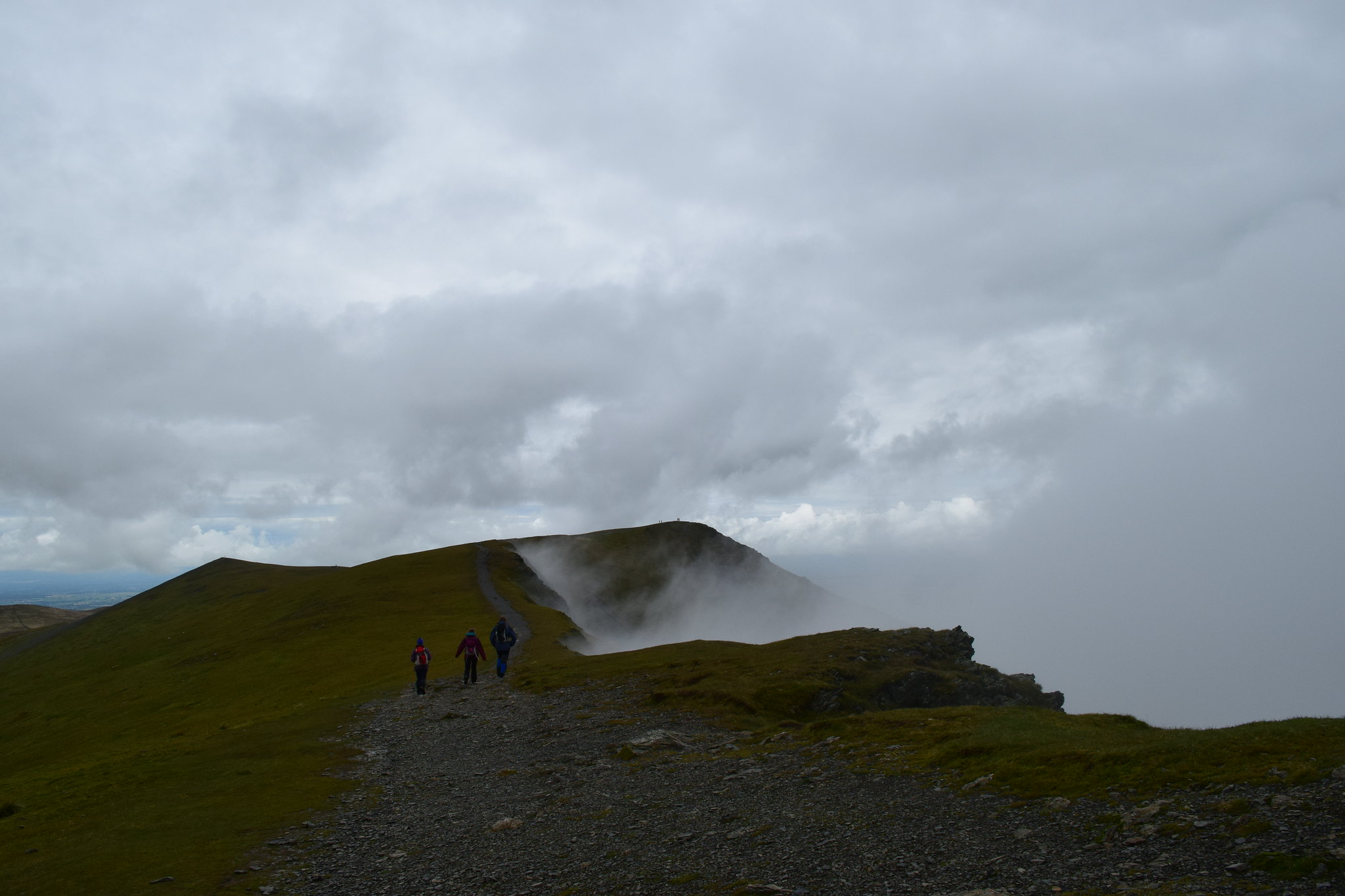
All that was left was an easy walk along the top of the crags towards the summit. Looking back to the ridge it looked quite impressive
It had taken me two hours to this point and with a shorter and easier route I was sure that Hammond and May would have beaten me to the summit….
Towards the top of Doddick Fell where they would have come out, displaying the “Cuillin Effect”
I was surprised to arrive at the summit to find a very friendly couple but no parents…
I checked the map to make sure I was in the right place….I was
So I added some extra layers and played about with the camera.
The ridge continues

The strange Trig circle at the summit
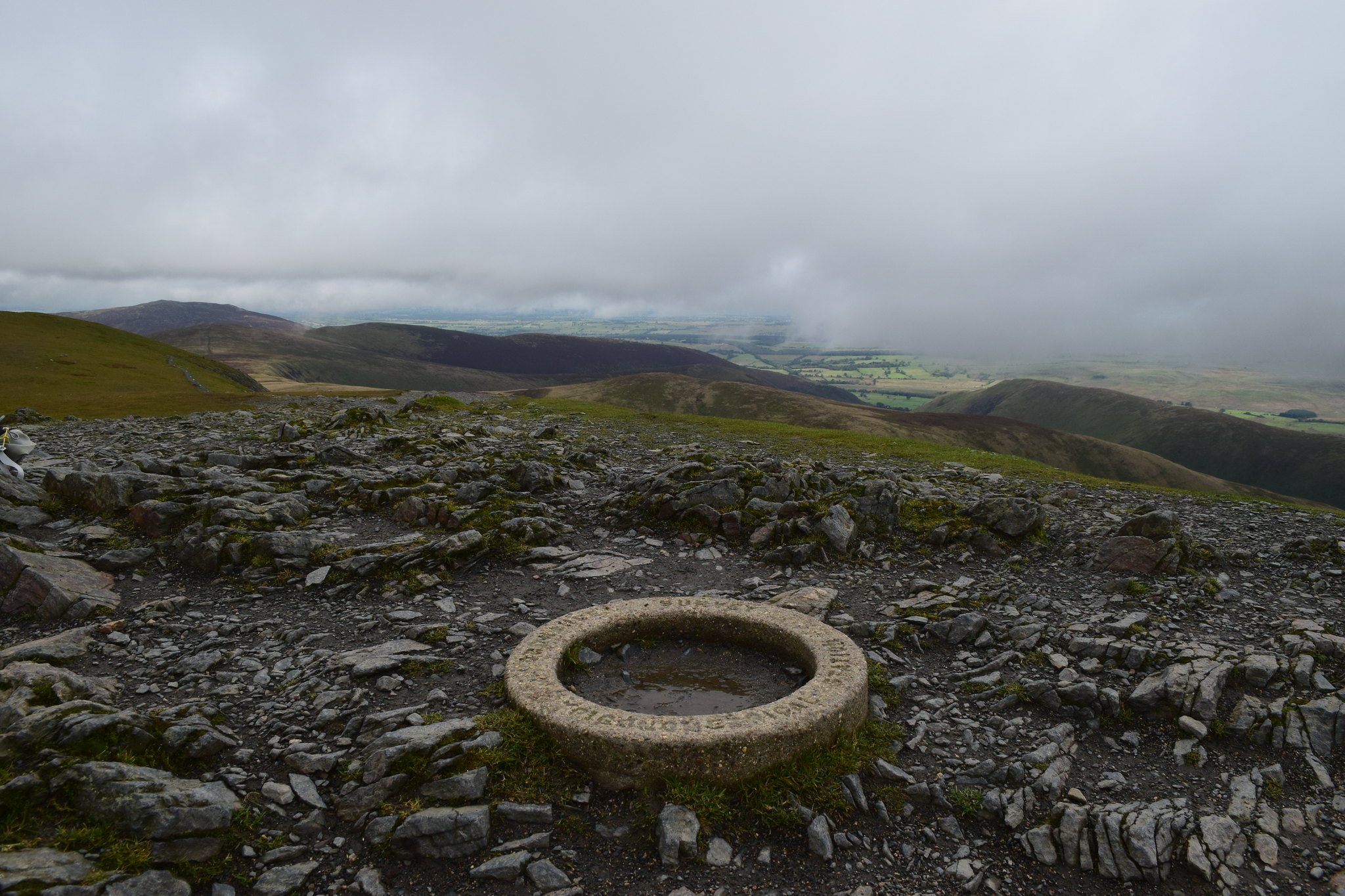
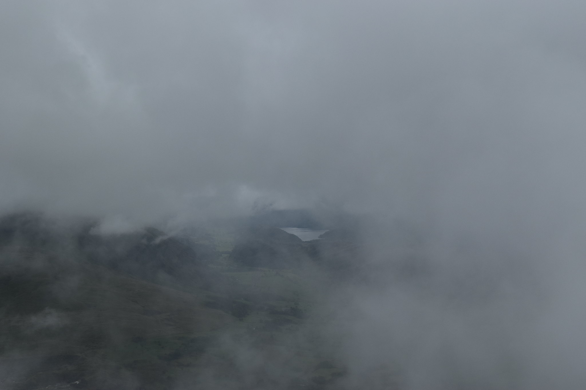
A glimpse of Thirlmere
While waiting I met lots of people including one who had come up Sharp Edge and confirmed that the couple had made it safely off the Edge
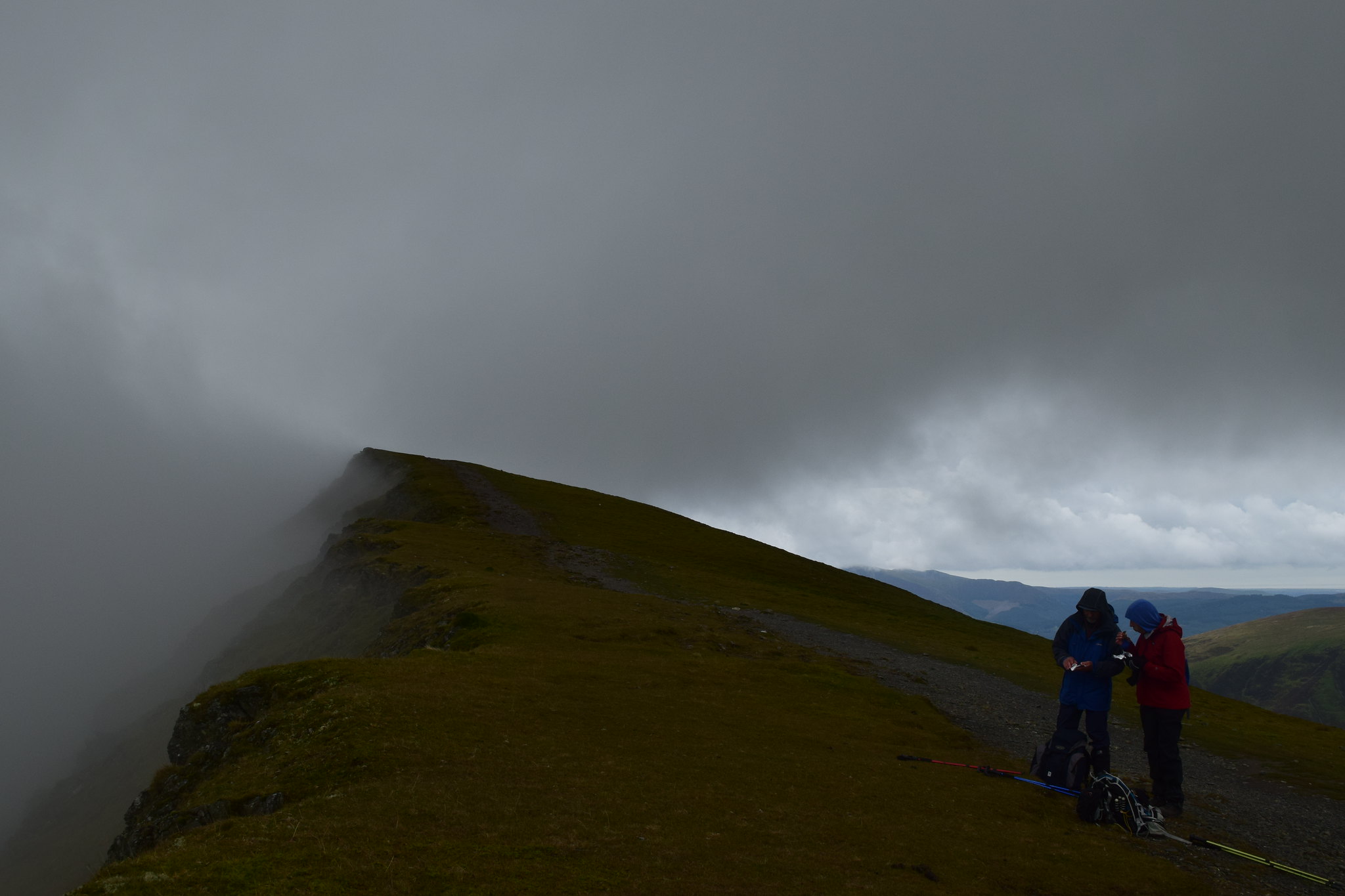
Eventually Hammond and May appeared; it turned out that they’d had a mishap where they were unable to get across a river and had had to backtrack and come up Scales Fell…
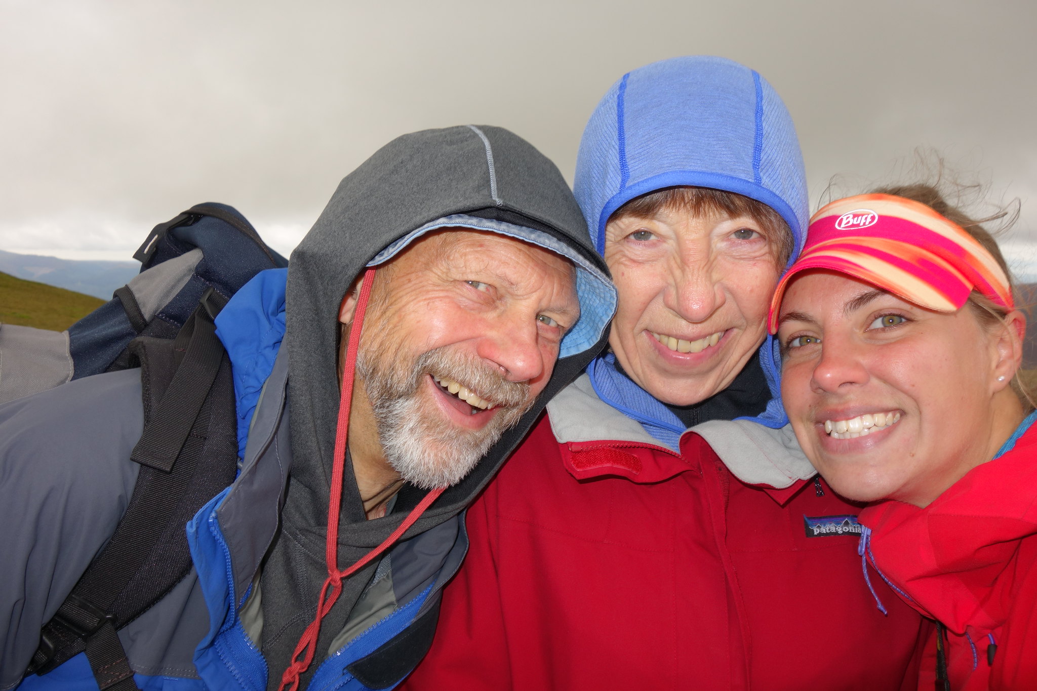
Still, most importantly we were all there
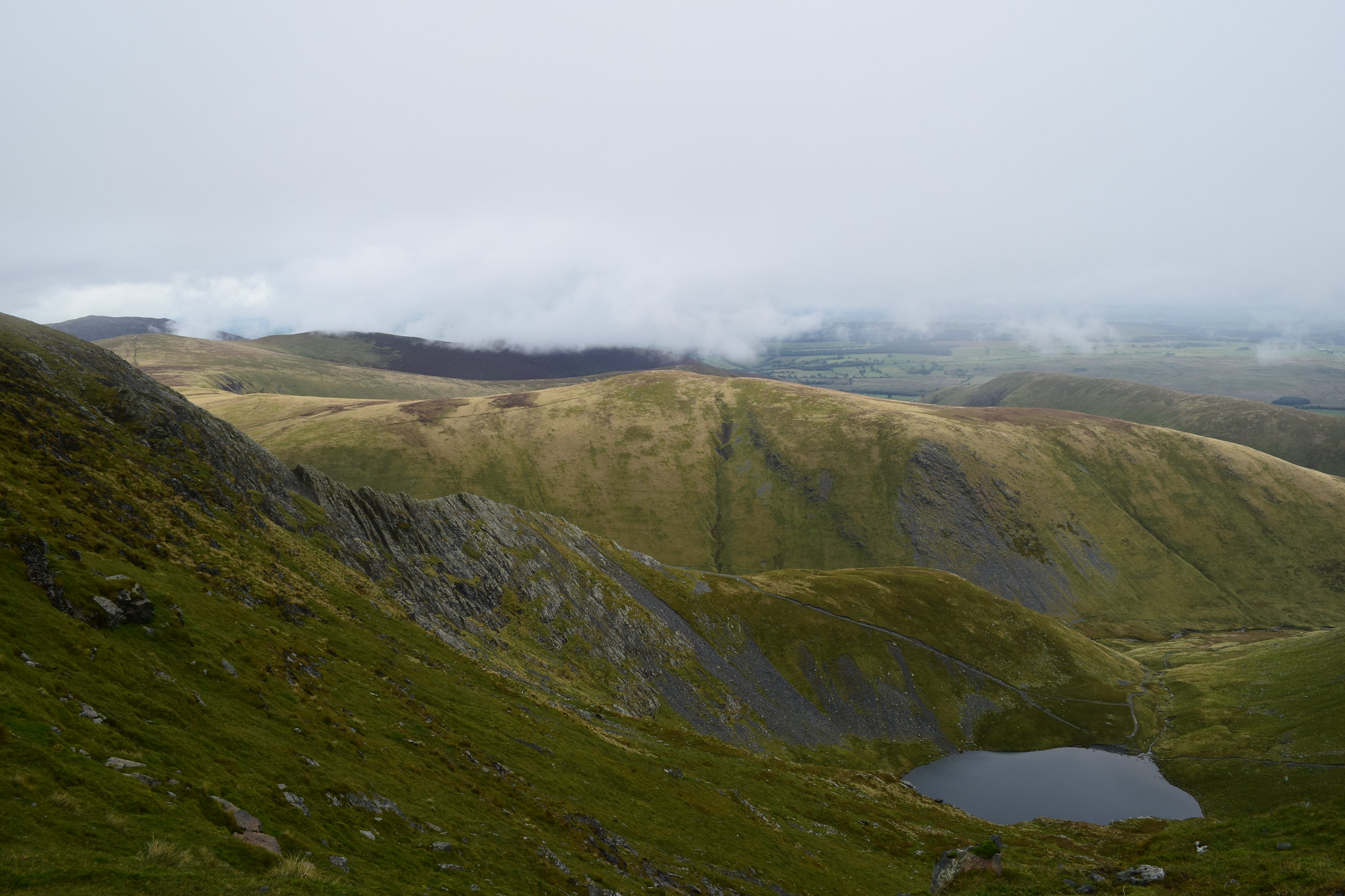
We decided to continue along the ridge in search of a sheltered spot for lunch
After the next hump we found somewhere that was a bit out of the wind and demolished some ham rolls
Hall’s Fell Ridge was drifting in and out of the cloud

Hammond and May enjoying some scran
While we ate Skiddaw emerged from it’s cloud
Looking back towards the summit – slightly clearer
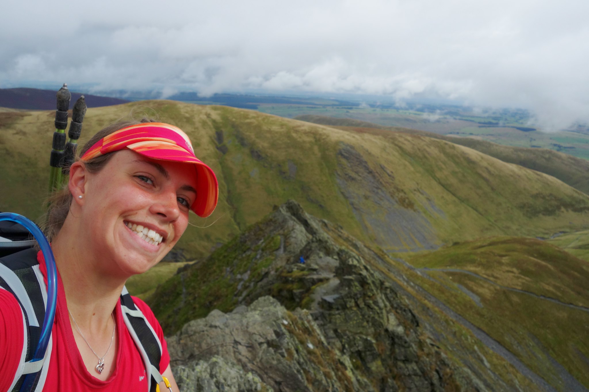
Selfie time
We continued along the ridge, the views out to Braithwaite improving
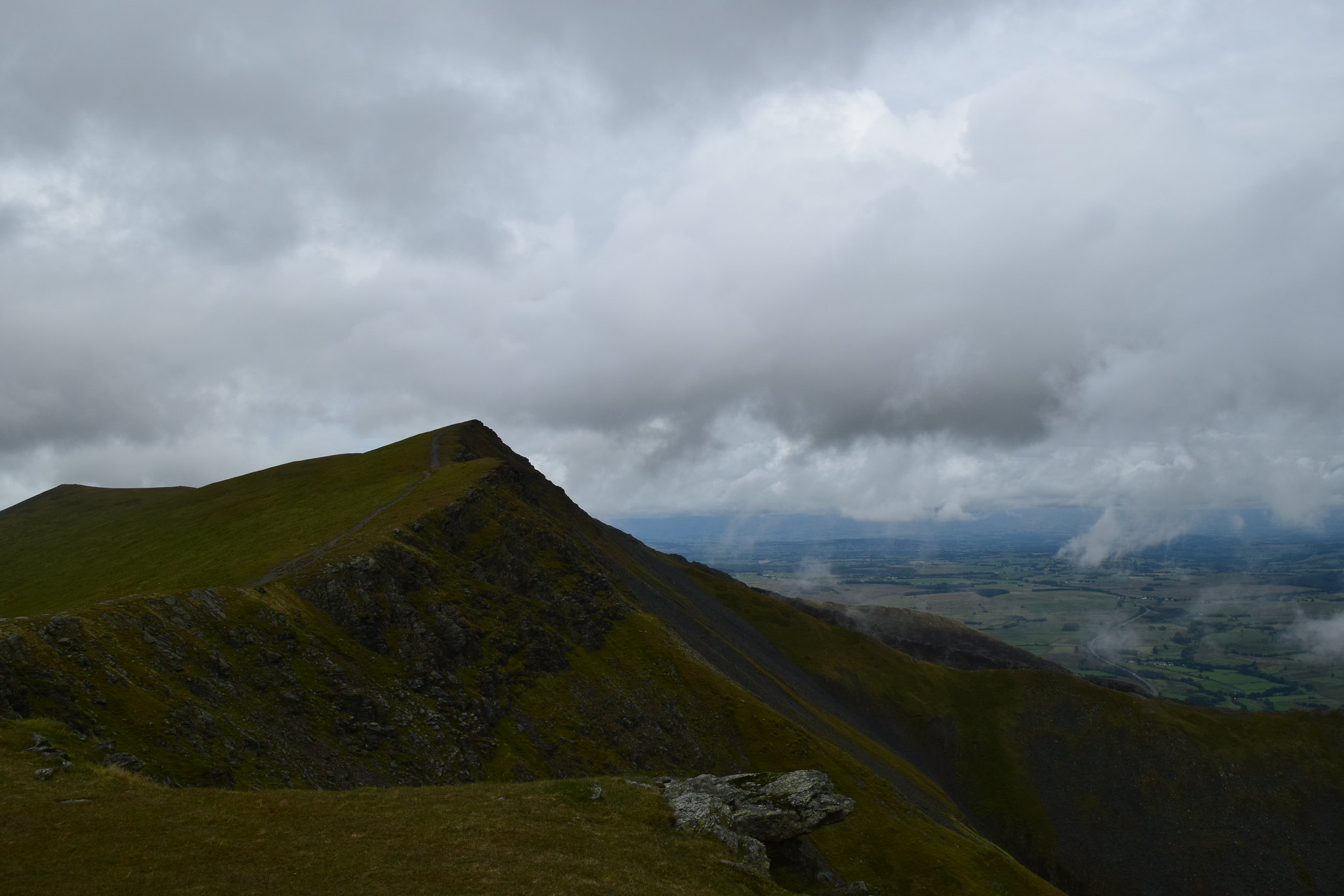
Looking back along the Blencathra ridge
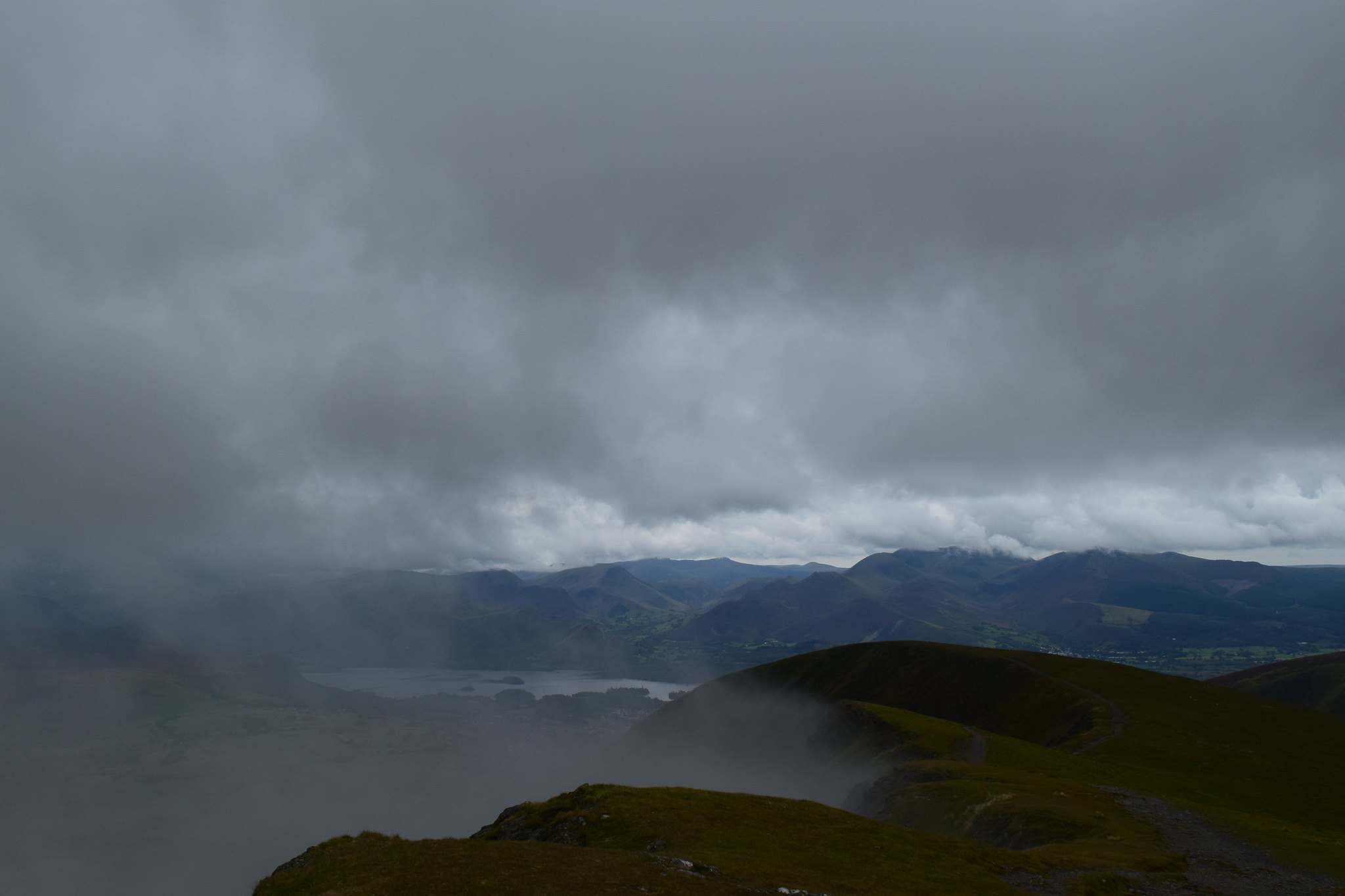
Derwent Water
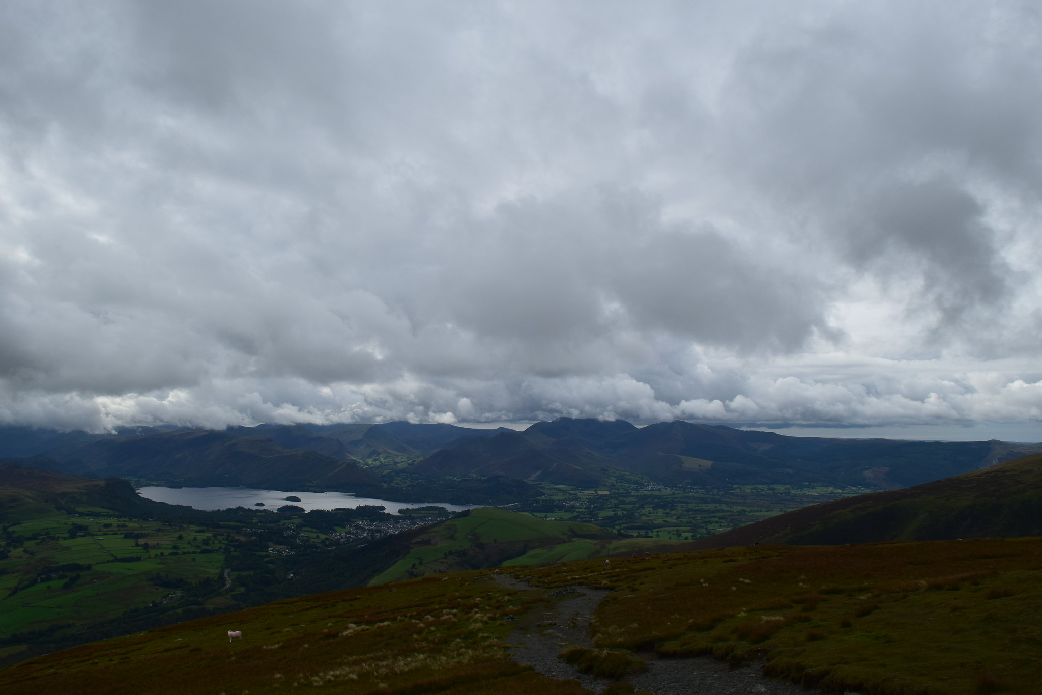
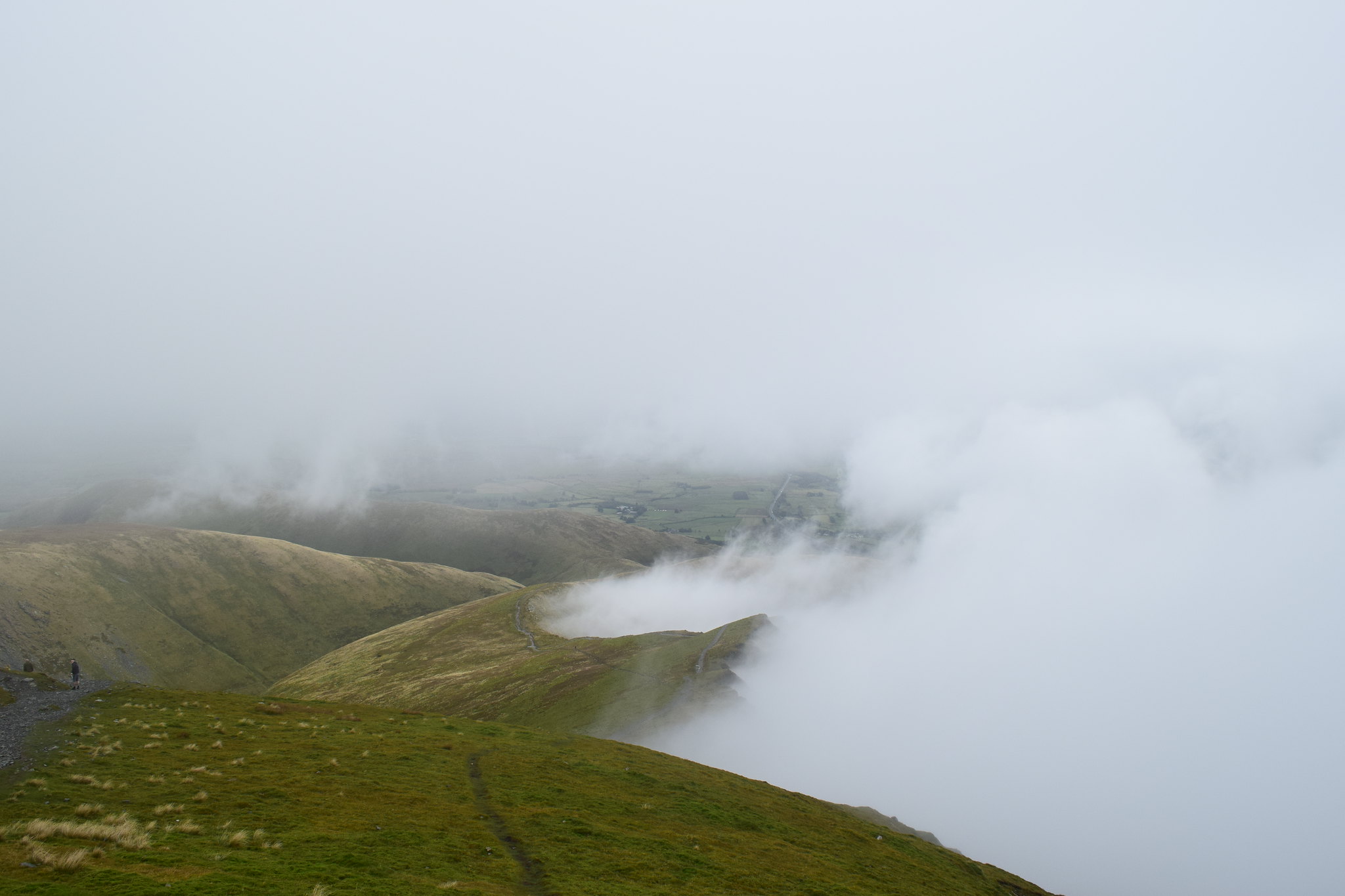
The views got better and better as we continued downwards, following the good path down Blease Fell.
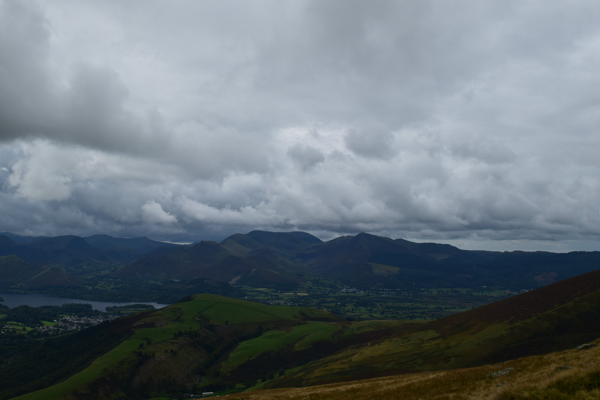
Grisedale Pike and friends
We followed the path back East, crossed a burn where we witnessed some sheep jumping an impressive distance to get away from us
and then down through the trees to bring us out at the the carpark where Colonel Mustard was waiting. Fortunately I’d heard enough horror stories to make sure my keys were on my person (although I did have to drive in boots as my shoes were in my Dad’s car
) Parents delivered back to their motor at Scales Farm, it was time to part company as I was headed back to the Homeland
