
A walk along Deepdale to St Sunday Crag + 2.
It was cloudy but sunny as Chris and I left home to travel to the Cow Bridge car park at Hartsop to find our way along Deepdale as an alternative way to St Sunday Crag rather than using the more usually travelled routes to it. The sun warmed the air against what would otherwise have been a cool day with a fair breeze blowing that promised to be much more of a nuisance as we got higher into the fells.
We set off by walking through Low Wood along a decent enough path that was quite damp in places due to the overnight rain. It was pleasant enough walking through the trees until we exited onto the grass verge around 10 minutes later from where it is just a short walk north along the verge to Deepdale Bridge. From the bridge we turned west to walk along the metalled lane towards Lane Head where we then did a turn to the southwest to continue on to Deepdale Hall to then follow the good stony lane…
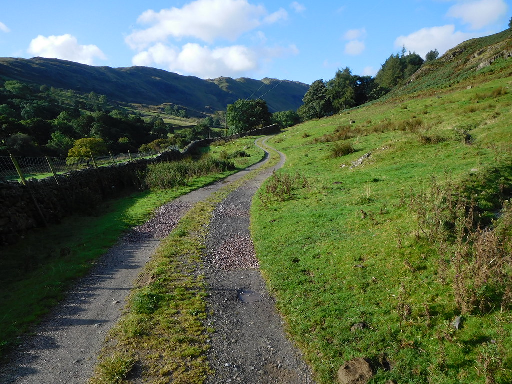 Start of the long walk along Deepdale
along to Wall End from where it then reduces to a good but wet path. Despite the name of Wall End - a collection of buildings - the wall continues on for quite some way from this point.
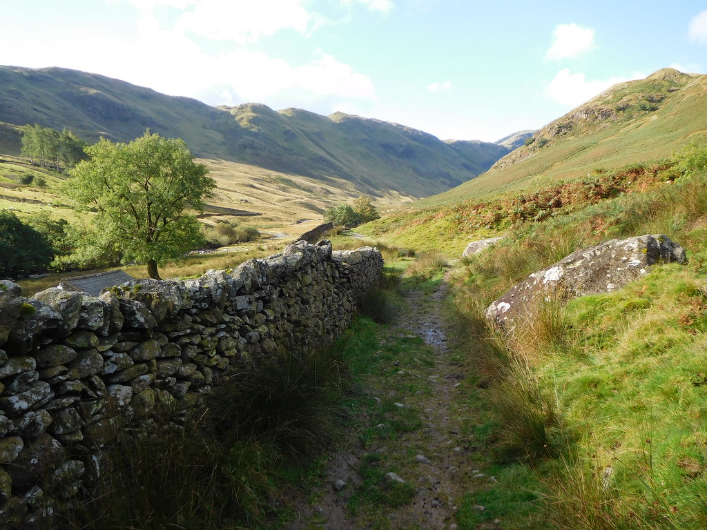 The wall continues at Wall End
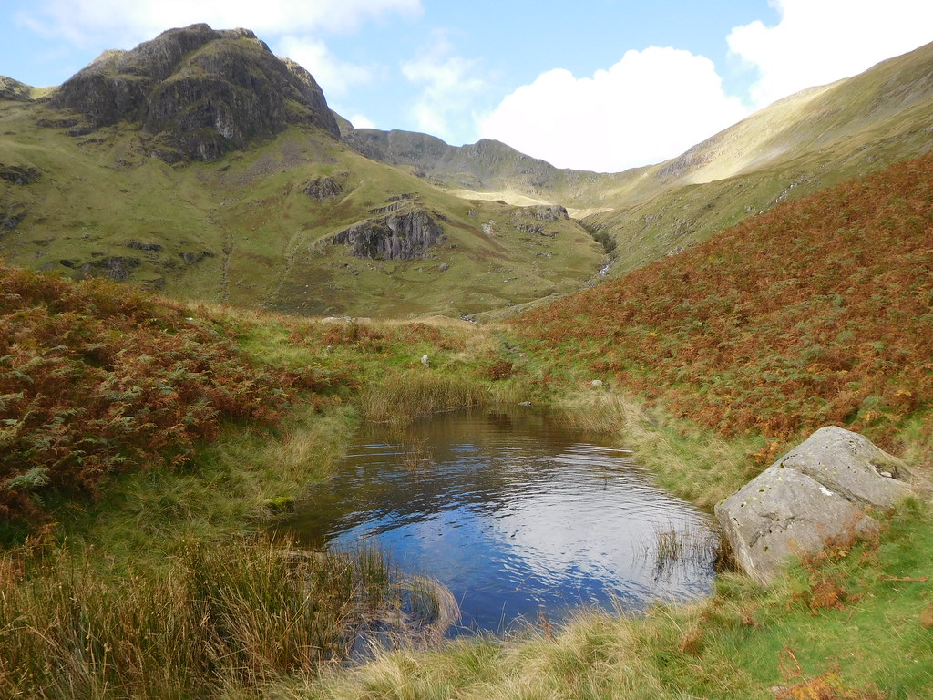
 Most of the way along the valley the path is plain to see, although it is a wet one today due to the recent rain and the gills and unnamed watercourses reflect that in the amount of water that they were carrying down from the surrounding fellsides. We crossed one of the larger ones - Coldcove Gill - by way of a stone bridge and the rest of them by merely striding across them or using the stepping stones provided by previous visitors to this valley. As we were enclosed in the confines of Hartsop above How to the south and the massive bulk of St Sunday Crag to the north these fells gave us nothing to look at apart from the crags on the north face of Hartsop above How with the opposite side of the valley being just a long steep slope with grass and bracken in the lower reaches whilst higher up there is a scattering of rock and scree.
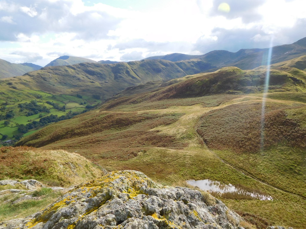
The views to the east and southwest are much more interesting with a short panorama of the Angletarn Pikes and Brock Crag away across the back of Hartsop.
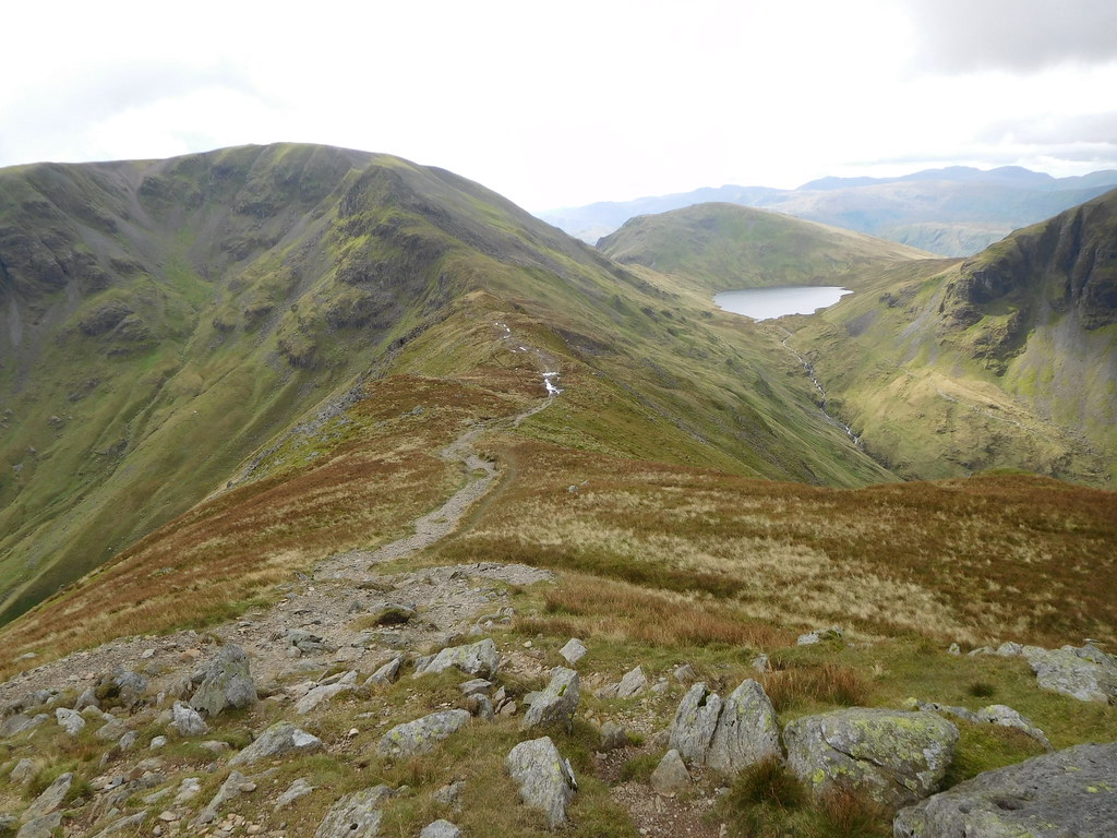
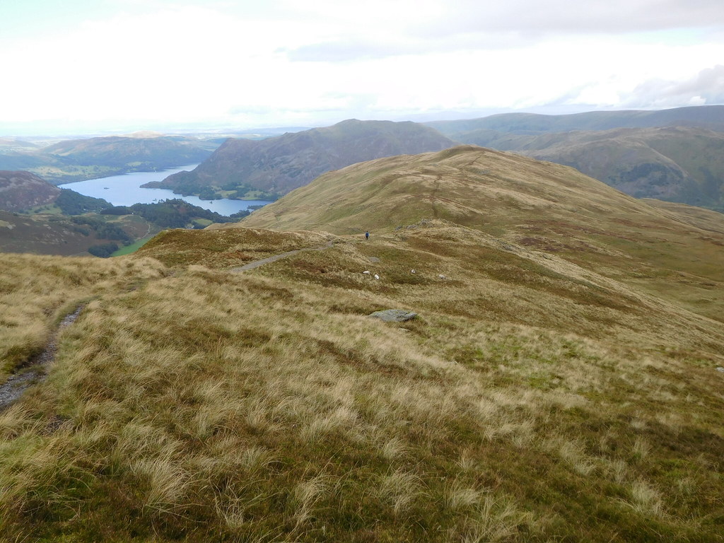
 Looking northeast along Deepdale towards Angletarn Pikes
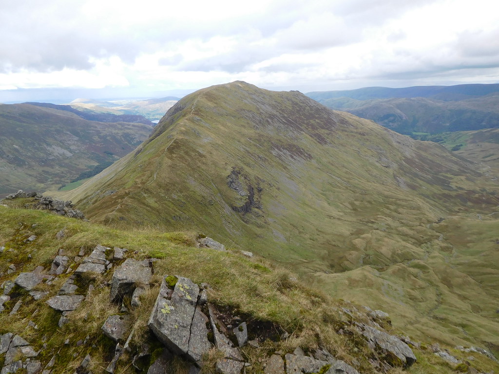
 Looking southwest we could see right into Cawk Cove with its south face bedecked with numerous large and much smaller crags, wonderful names, making one wonder how they arrived to be named thus, Hutaple Crag, Erne Nest Crag, Hog Hole, Black Toppet and a host of others just as intriguing with Greenhow End being the most imposing as it juts out into the valley and forming the neck of Cawk Cove. Sitting behind those minor crags and towering over the cove is Cofa Pike, Fairfield, Hart Crag, and Scrubby Crag.
 Hart Crag-Scrubby Crag-Cofa Pike-Fairfield
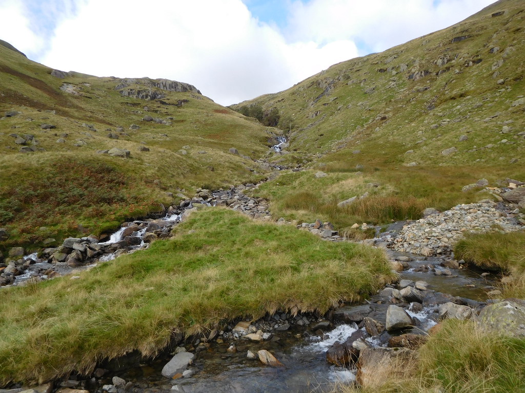
 As we advanced along the valley we were met with dozens of moraines dotted about like goose bumps brought on by a cold breeze on the skin and soon we were walking up and down some of the larger ones as we wended our way ever nearer to the deep cleft in the rocks opposite Greenhow End where Deepdale Beck tumbles over numerous waterfalls in its gloomy depths.
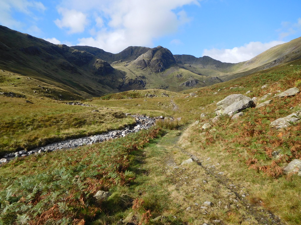
 Deepdale Hause ahead
 It was just past Mossydale and opposite Mart Crag where we started the fairly steep climb up the fellside to be able to work our way past the narrow gorge to finally arrive in Cawk Cove.
 We start to climb above the beck at this point
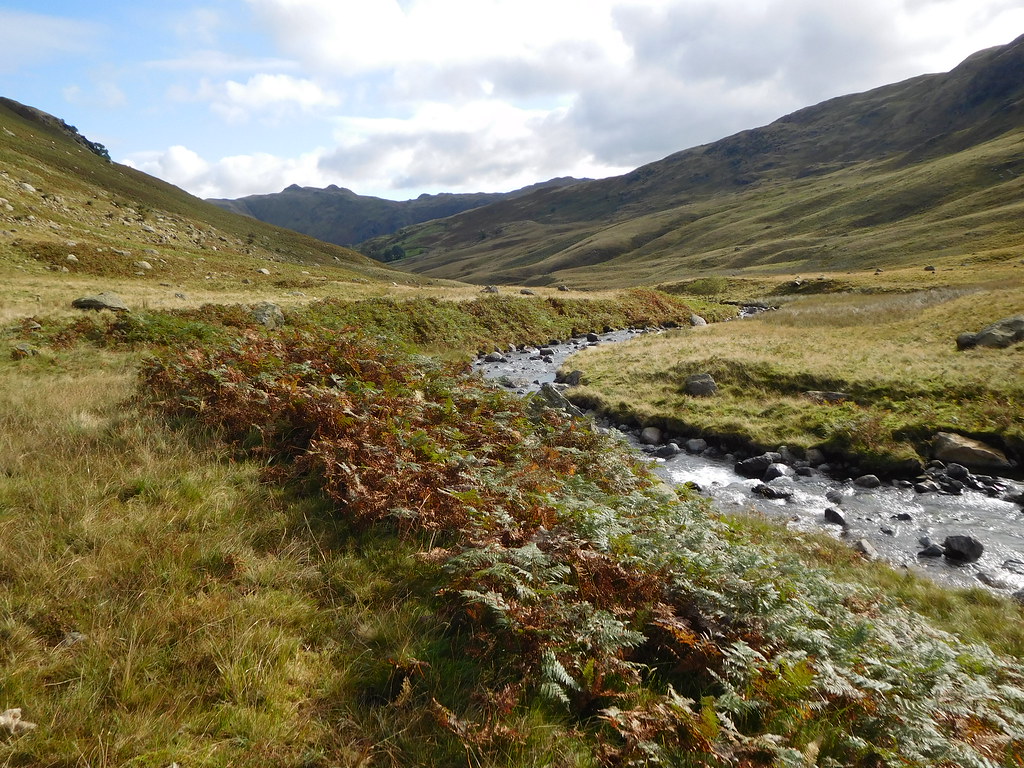
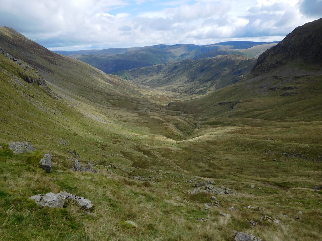
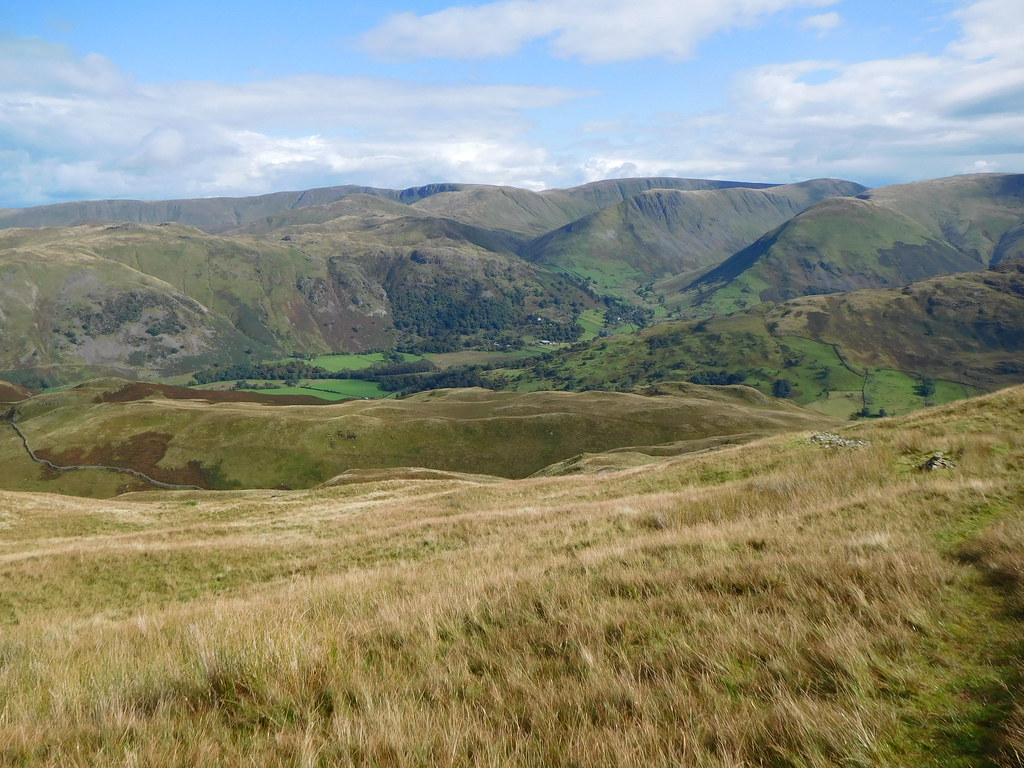
 Stopping above the tree lined gorge and taking a look back along Deepdale saw us looking at the winding course of Deepdale Beck, the marshy ground, and the various sized humps of the moraines with just a hint of Gray Crag and High Street in the far distance.
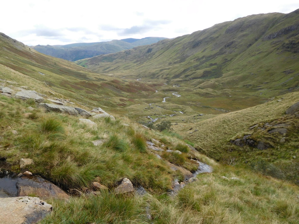 A view along Deepdale
 Arriving at the top of the climb we were met by more moraines and a good view of Deepdale Hause and Cofa Pike.
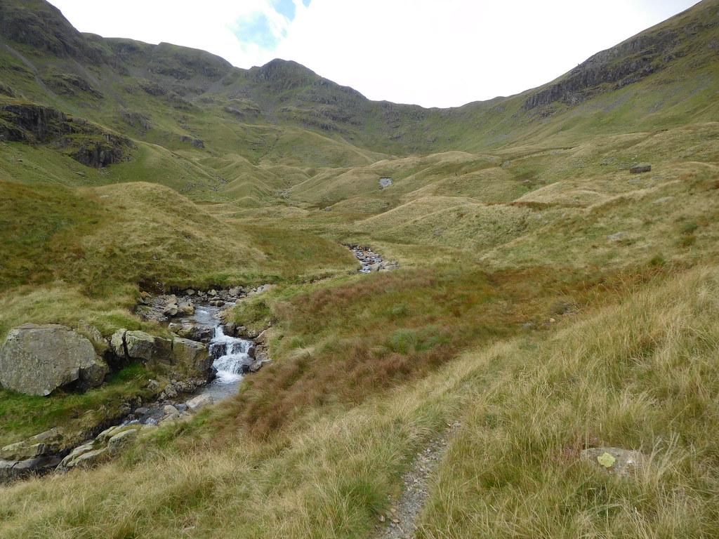 Moraines in Cawk Cove below Cofa Pike
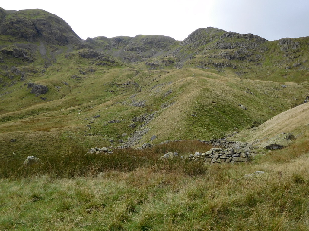 Fairfield and Cofa Pike
 Once we had passed through the area of the moraines the ground levels out somewhat and the path gets thinner on the ground and just before we started the climb up to Deepdale Hause it disappeared as we were walking along a long mound of ground that can be picked out front centre of the next photo. We only spotted where the path diverged off to the left from high up in the cove.
 Deepdale from Cawk Cove
 Before we started the steep climb up the face of the cove we stopped for food and drink as it was very hot by this time. The sun had been shining since we had set off and there was no breeze in the confines of the valley so choosing some good looking rocks we parked up for a few minutes.
After the break we set off once again cursing at the lack of a path as we picked our way up between the rocks and grassy breaks and it was only when we stopped for a breather that we noticed the path over to our right, a thin line of pinkish coloured small stones and dust.
We traversed across the fell and were soon on the elusive path that was most obvious to see when stood above it, from top to bottom it was clear to see but unfortunately not so clear from the bottom where it veered off the main path and then runs out as it heads towards a steeper place to the left of Cofa Pike, a very steep and wet grassy rake scattered with many rocks and boulders. There was actually two walkers struggling up it who kept stopping every few feet and we thought at one point that they were going to turn back. Speaking to them later on they said that they also had missed the path and were keeping an eye on us to see which way we were going to go, our way was steep but far more preferable to the one that they had taken.
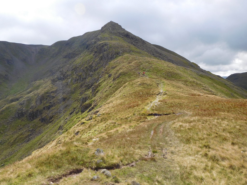
Once we had attained the ridge at Deepdale Hause the temperature suddenly dropped as a cold breeze hit us whilst we were deciding whether to go on to Fairfield or just Cofa Pike. Just before starting the climb to Cofa Pike a look along the ridge of St Sunday Crag emphasized the sharpness of it, although when on it it feels and is much wider than it looks from afar.
 St Sunday Crag ridge from Deepdale Hause
 The first part of the climb up to Cofa Pike isn't too bad, not too steep but as we gained height the incline increased especially once we had got to the crags near the top. A good view of the Helvellyn Range was to be seen across the other side of Grisedale.
 The east faces of Dollywagon Pike-Nethermost Pike and Helvellyn
 Cofa Pike is a jumble of rocks with a covering of grass wherever it can get a hold and from where the views are amazing in all directions apart from where Fairfield blocks the view to the south with its steep rock and grass covered face and the area of scree where the onward path continues on to the summit of Fairfield.
 St Sunday Crag from Cofa Pike
 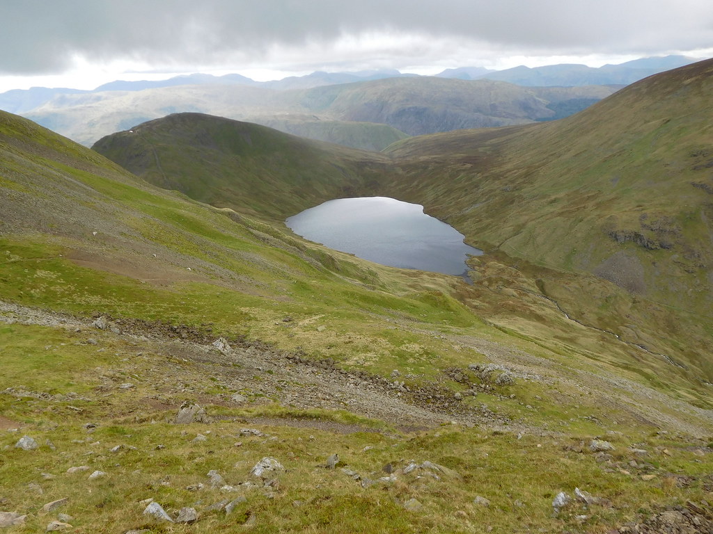 Grisedale Tarn with Seat Sandal and the western fells behind
 Due to the cold wind we didn't linger too long as the rain clouds were also gathering so we beat a hasty retreat back to the Hause ready for our walk on to St Sunday Crag.
 Looking back to Cofa Pike
 The clouds were coming in fast as we started to walk along the ridge…
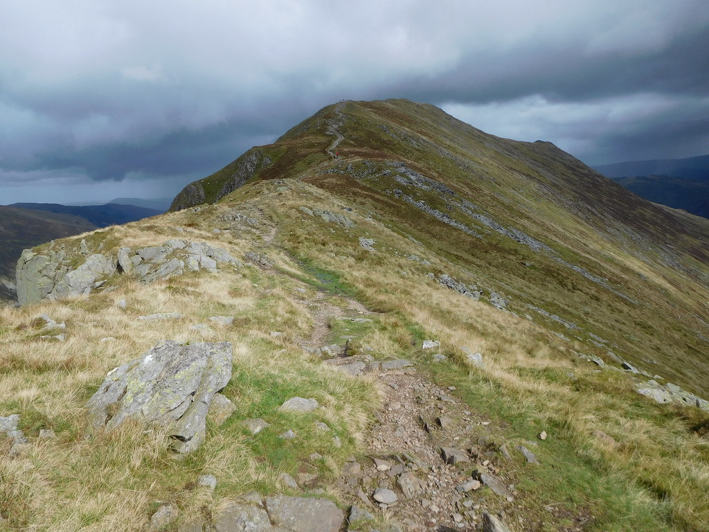 St Sunday Crag ridge path
 and before we arrived at the summit the rain had begun to fall.
 A view back to Fairfield-Grisedale Tarn etc
 The clouds were dropping into the valleys around us but in the distance the hills were still bathed in sunlight as could be seen when we arrived at the summit.
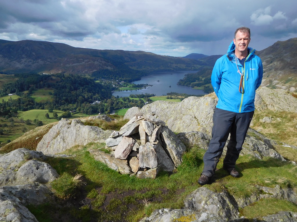
 Chris and Sonny at St Sunday Crag summit cairn
 Seeing as how Chris has decided to start counting off the Birkett's I thought that we may as well call in at Gavel Pike, a place where I have been before and following the decent enough path from the higher summit down the east ridge found us at the fair sized and pointy crag which bears a decent cairn of grey stones and giving good views across the eastern fells, Ullswater, and the Helvellyn Range in the west.
 Gavel Pike
  Birks-Arnison Crag-Place Fell-Ulllswater from Gavel Pike
 Leaving Gavel Pike behind we walked a pathless route clockwise around the basin above Gavel Moss keeping at a height where would drop onto the main St Sunday Crag/Birks path at a convenient spot that would be not too low so as to avoid a climb back up.
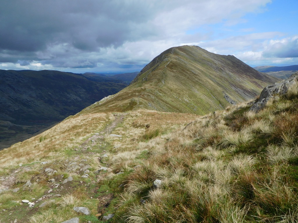
 The great mound of Birks
 Once on the path it's an easy walk along a good path initially stony and then on grass as Birks is neared with quite a large wet spot in the dip just prior to starting the ascent to the summit where there is a small cairn of different coloured stones to be found. The rain had stopped and we were back in sunshine with the clouds now giving the sun more room to get on with his job of cheering the place up.
 Looking to a fells surrounded Hartsop
 We left Birks by the northeast path down the easy slopes to then leave it to turn off down the much steeper slopes of the southeast ridge following the wall until it veered off to the east at about the 480 metre contour. We continued down and then made our way on to Trough Head by way of the good grassy paths to then turn back to a northeast direction and Arnison Crag.
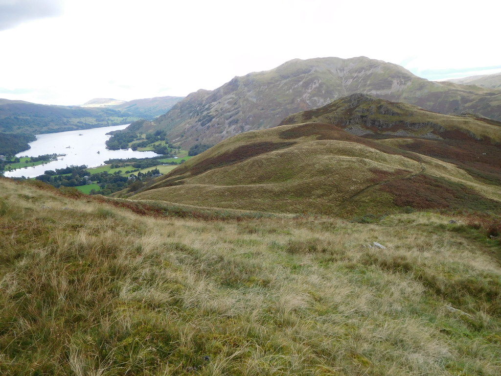 Arnison Crag in front of Place Fell
 It's a straight forward walk along to Arnison Crag and before we climbed to the summit we dropped our bags and had a drink. Leaving the bags on the floor we climbed up the easy slopes to reach the summit with its many up thrusts of rock and flat grassy areas from where a half decent view along Ullswater is to be had.
 Chris at Arnison Crag summit
 Once again good views over towards Hartsop and Glenridding with their fells being plain to see with an especially good and nearly full length view of Hartsop above How.
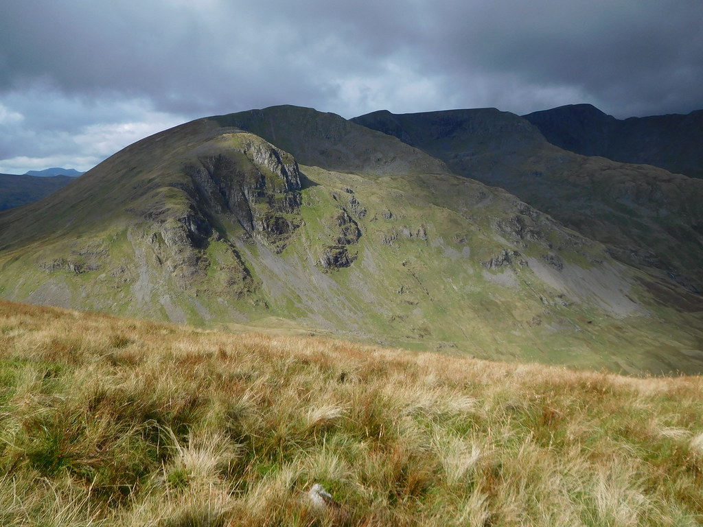
 Hartsop above How
 Now, we'd done alright so far with no problems apart from losing the path in Cawk Cove but now we were to venture into the unknown as we decided that our quickest way off from Arnison Crag was to go southeast straight down the fellside more or less following Arnison Gill down to Lane Head. To avoid a long walk back along the road from Patterdale this appeared to be the best option, until 10 minutes into the drop off. The ground from the crag is initially a steady incline over grass and short bracken but as we got further down the bracken had grown to Jack and the Beanstalk proportions with it towering over our heads. I could understand it with me being a runt of only 5' 9" but Chris is something like 6' tall and even he was covered and as we struggled through it, snagged by the ankles and the ground getting ever steeper we had to take a good few rests and even thought of going back at one point but we were committed, we had got too far down for that. This was a mistake, I suppose that we've all done something similar at one time or another but we had to just carry on fighting our way down.
The ground got rougher and we had to move away from the line of the gill. There were small crags buried in the bracken and we had to make our way around them, the problem was that we couldn't see what was in front of us or beneath our feet so the going was quite slow. At one point we came across a scree run that we thankfully made use of for a good few metres. A large expanse of wet, greasy rock had to be crossed and fortunately we both made it across without mishap.
We eventually arrived at a better place, a place where the bracken was short and the fell not so steep and another decent stretch of scree to use. This is where we had our last break of the day.
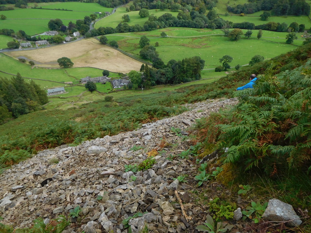 Looking down on Lane Head and Deepdale Bridge
 Once down behind the buildings of Lane Head we followed a path that runs alongside the wall and brought us back onto the metalled lane at Deepdale Hall from where we just retraced our outward steps back to the car at Cow Bridge.
Despite the fight with bracken and a hard climb down from Arnison Crag that we put down to a good adventure once we were safely down this has been an excellent walk with quite a lot of wet underfoot conditions in Deepdale. We couldn't grumble about the weather as all in all it had been alright, a drop of rain and a cold wind at height is to be expected in mid September.