free to be able to rate and comment on reports (as well as access 1:25000 mapping).
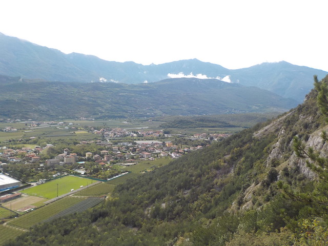
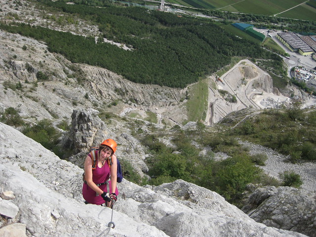
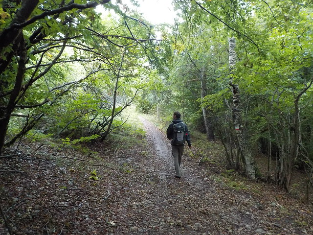
So after such a short foray into the hills yesterday, it was time for a bit of a bigger route - The stats do not portray what a beast of a route this was! We headed north in the car for half an hour, found the car park, and the signs for the Via Ferrata OK. The path skirted an active quarry below the cliffs.
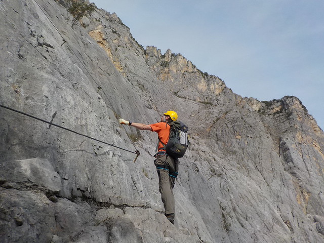
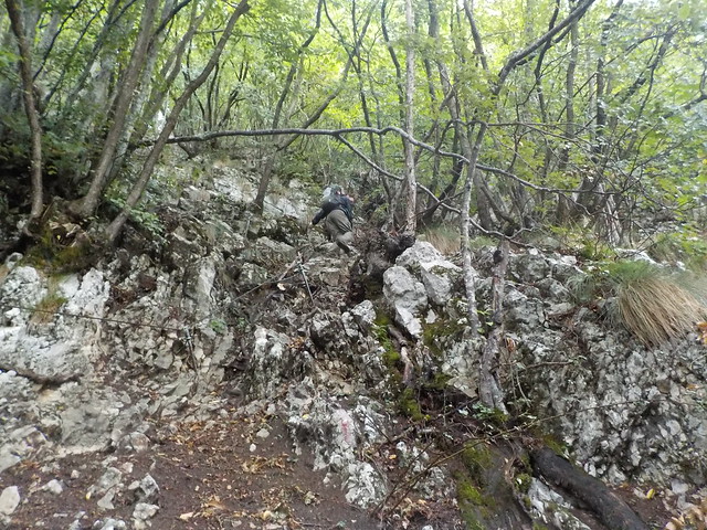
The climb was hot, but not too far to the first of the cables - just a handrail up some staps to begin with, but we were soon on very steep rock - some really tricky climbing , and the VF supposedly didn't start until higher up

 DSCN3316
 by
Seana Carroll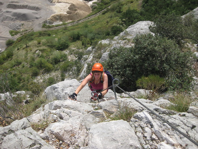 IMG_5222
 by
Seana Carroll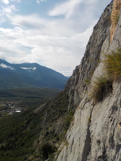 DSCN3317
 by
Seana Carroll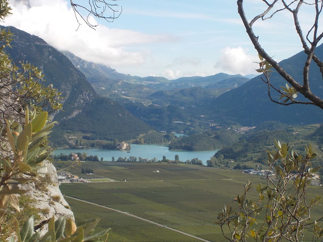 DSCN3318
 by
Seana Carroll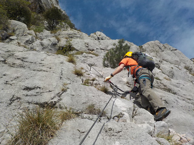 DSCN3320
 by
Seana Carroll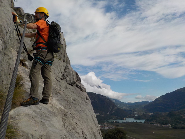 DSCN3321
 by
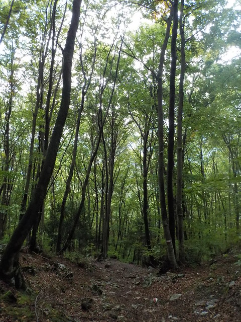
Seana CarrollThis led up to a big vegitated terrace, and we followed a meandering path through pines up to the next section - A variety of cables and scrambling up short walls and broken ground.
 DSCN3322
 by
Seana Carroll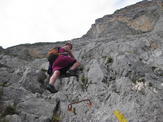 IMG_5225
 by
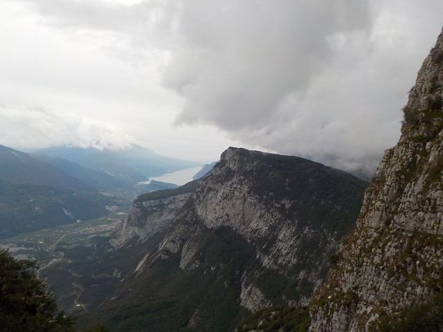
Seana CarrollWe stopped for a snack before heading up to the next cable, only then discovering I had left my gloves so Dougie went back and I was left to contemplate and take it all in. We had only climbed a few hundred metres so far, but the cliffs were impressive (Still not up to the route proper!), the choughs were circling, the lakes below looking all green and italian - spectacular.
There was then a steep wall, some stemples, then some easier angled scrambling.
 IMG_5227
 by
Seana Carroll IMG_5228
 by
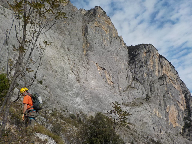
Seana Carroll We got up to another terrace with pines, then there was a scramble over a pinnacle before we finally saw the start of the route. Half knackered already and had hardly started!
 DSCN3325
 by
Seana Carroll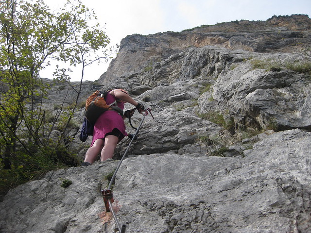 IMG_5229
 by
Seana Carroll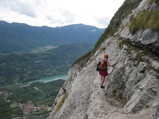 IMG_5231
 by
Seana CarrollThe start was steep, but you soon traverse right and upward - some of the climbing a bit difficult, but the only exposure is on the easy bits, so nothing but fun.
 DSCN3327
 by
Seana Carroll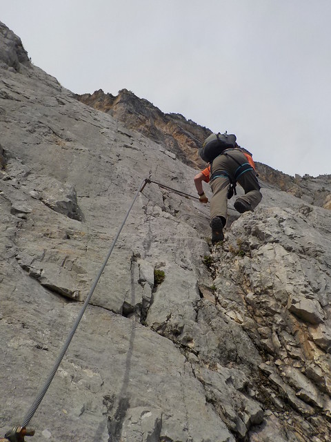 DSCN3329
 by
Seana Carroll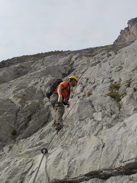 DSCN3330
 by
Seana Carroll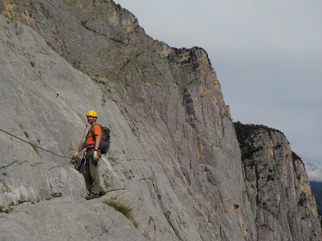 DSCN3332
 by
Seana Carroll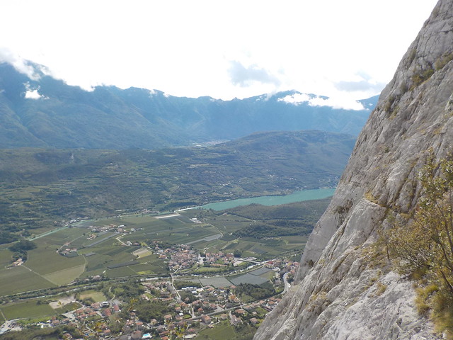 DSCN3333
 by
Seana Carroll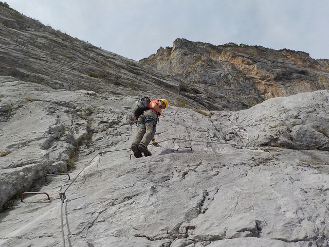 DSCN3336
 by
Seana CarrollBroken ground and some easy scrambling (wires old & baggy here) took us up to better rock at a gentler angle for the most part, but some stemples and almost vertical smooth slabs at one point

Brilliant

 DSCN3338
 by
Seana Carroll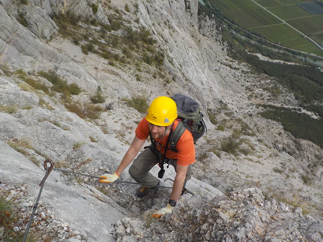 DSCN3339
 by
Seana Carroll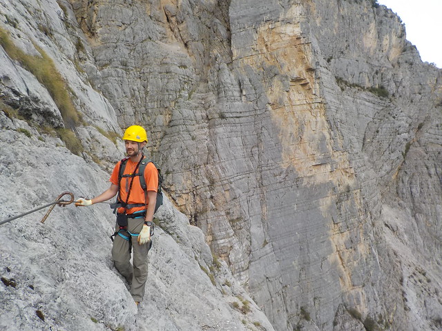 DSCN3340
 by
Seana Carroll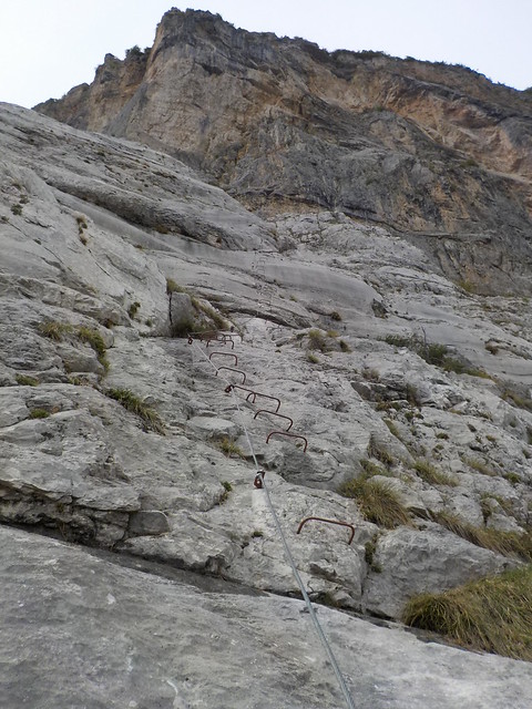 DSCN3341
 by
Seana Carroll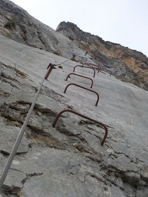 DSCN3342
 by
Seana CarrollMy legs were tiring - Hardly any fuel and a good 800m of ascent so far.. There was supposed to be a picnic spot at around 1000m, but despite keeping our eyes peeled, we didn't find it, so at 1100m, we finally took a break for some lunch. We were on a high terrace, some pines making some welcome shade

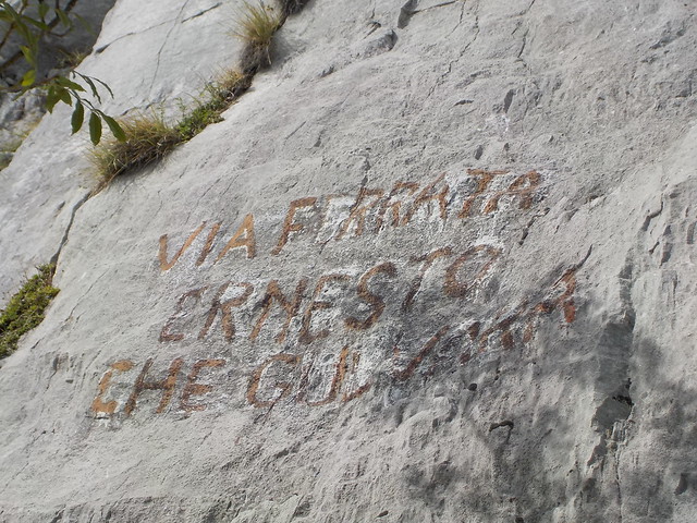
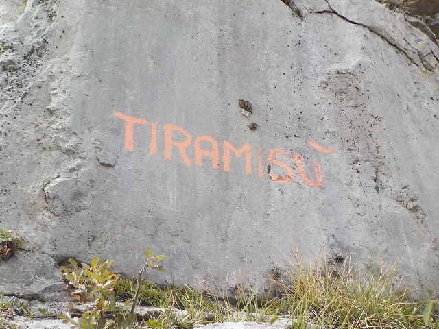
It was then a winding path with just the occasional old, baggy unecessary wire - what a slog! We found the VF book which was full, but wrote something on a wee corner, before more slogging up a rake. My thighs died round about then - so much steepness


 DSCN3343
 by
Seana Carroll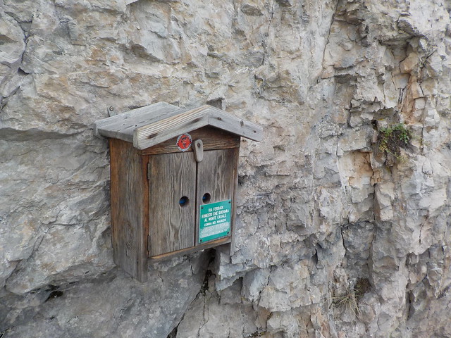 DSCN3344
 by
Seana Carroll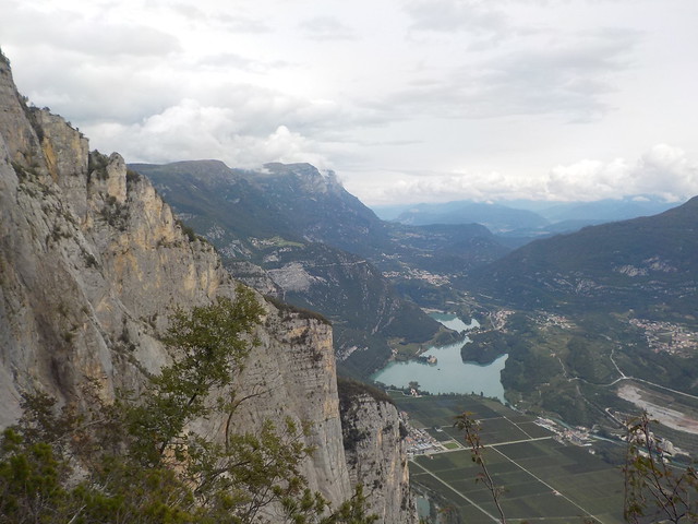 DSCN3345
 by
Seana Carroll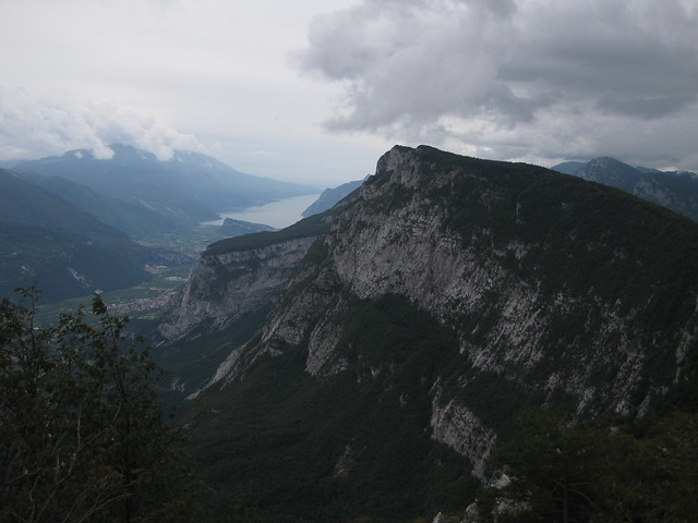 IMG_5237
 by
Seana Carroll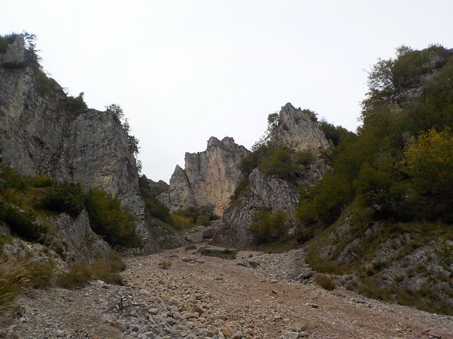 DSCN3346
 by
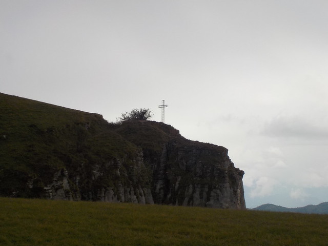
Seana CarrollSpot the cross at the top - still sooooo far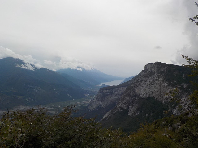 DSCN3347
 by
Seana CarrollWe suffered from fake summit syndrome - every crest looked promising, only for more trudgery to be revealed when we got there

At about 1450m, there was a final wall - overhanging and difficult before one final false summit and then the final climb to the plateau.
 DSCN3349
 by
Seana Carroll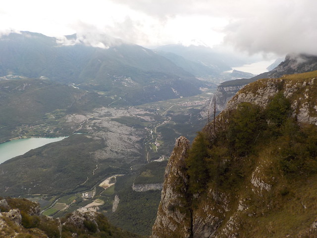 DSCN3350
 by
Seana CarrollThe plateau was a stark contrast - lush short grass making for easy walking. We could see the summit cross to the North very close, but we could also see some foul weather to the west coming in fast, so we skipped the summit heading hastily to the rifugio. It was closed, but did have a small building nearby with a roofed porch. Made it just in time for the heavens opening
 DSCN3351
 by
Seana Carroll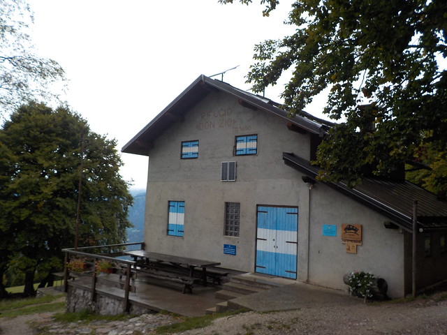 DSCN3352
 by
Seana CarrollA group of germans who had passed us on the final trudge were there and we discussed descent routes. The return ferrata was a slippery mare in the wet seemingly, and the Germans were heading west to a nearby town to hpefully secure a taxi to take them back to their car. We didn't know what to do, and almost took the path north to the road for a long walk out, but then things showed signs of improvement and we decided just to wait. Sure enough it did stop, so we set off for the VF route down VF Sentiero del Rampin.
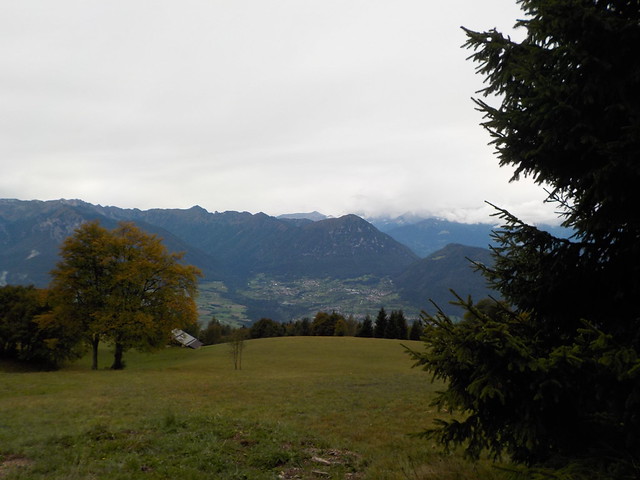
The rain cleared up completely, and we got wonderful views as we headed down across the meadows trying to follow instructions in the book which didn't make much sense. We had the 25k map, but we found it to bear little resemblance to what was on the ground - typical european map!
 DSCN3353
 by
Seana Carroll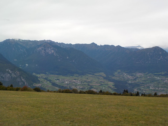 DSCN3355
 by
Seana Carroll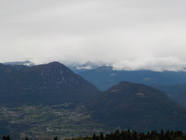 DSCN3356
 by
Seana CarrollWe eventually turned onto a very muddy path still running with water, which took us down to a long abandoned cart track that was rocky and eroded. Found a sign eventually for VF Rampin so must of gone the right ways

 DSCN3357
 by
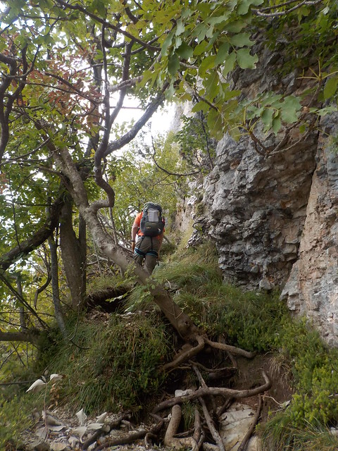
Seana CarrollNow VF Rampin is different to any via ferrata we had seen before - very little rock but almost vertical forest. We were very glad of the wire hand rail, and a lot of he way was steep enough that it had to be descended facing inward - so basically walking backward

Lots of fun like all new mountain things, but almost impossible to capture the spirit on a camera unfortunately.
 DSCN3360
 by
Seana Carroll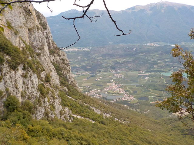 DSCN3361
 by
Seana Carroll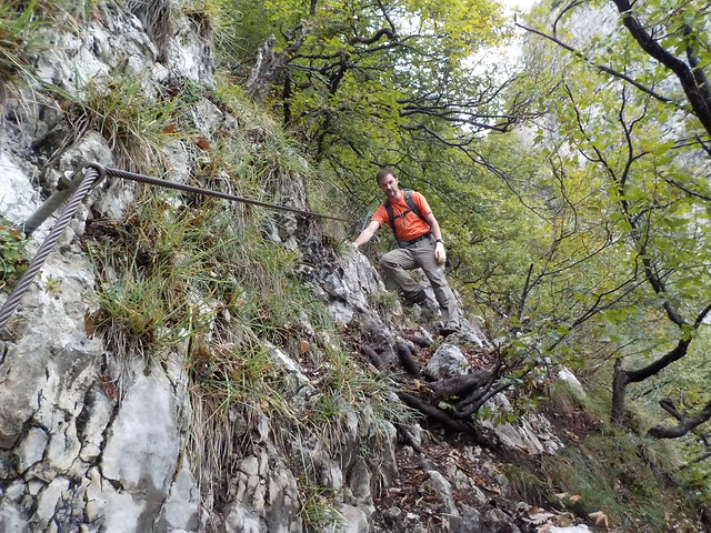 DSCN3362
 by
Seana Carroll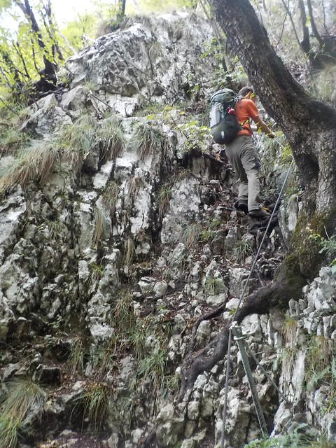 DSCN3363
 by
Seana CarrollThe book said that the VF finished at a ladder down a gully and we did see it, but new cables go round the adjoinng buttress to a newly constructed, but rocky path that zigzags through the steeper part of the forest. We still had about 1000m of descent, and although a really bonny forest with chamois sightings a plenty, the trudgery of so much downhill took its toll.
 DSCN3364
 by
Seana Carroll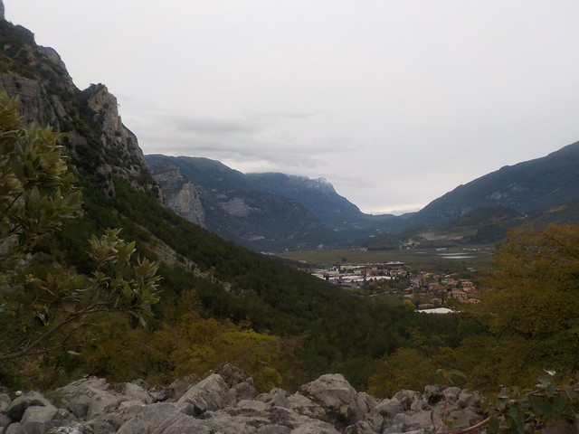 DSCN3365
 by
Seana CarrollAbout 3 hours from the top, we finally got out onto the forest road and back down to the village, where we found a tree hanging with beautiful sweet apples
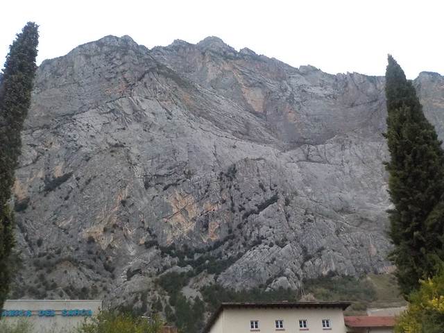
We munched as we walked, muddy and disheveled through town, looking up at the massive cliff we had climbed, and feeling smug for havng such a brilliant mountain day. Bats were out before we got back to Arco.
 DSCN3369
 by
Seana Carroll