free to be able to rate and comment on reports (as well as access 1:25000 mapping).
Wednesday morning arrived cool, cloudy, and damp as I met Chris at Brough just off the A66 from where we drove into Kirkby Stephen to leave one of the cars parked up at the large and free car park that is right besides the livestock auction mart. We are going to drive from here over to Yockenthwaite in the South Yorkshire Dales to have my second attempt at Birks Fell that was called off due to adverse weather conditions a couple of weeks or so ago.
The drive over to the hamlet of Yockenthwaite was uneventful and although the air was full of moisture and the clouds were hanging low over the Dales it was still a drive of interest as we passed through the Mallerstang Valley with the crags of Mallerstang Edge on our left and the smoother and less craggy hills of Wild Boar Fell etc to our right. The Moorcock was soon arrived at but too early to call in for refreshment as we took the turn left and quickly arrived at Hawes to then pass through Gayle and take the winding Kettlewell road and drive along Langstrothdale to arrive at the head of Wharfedale and the hamlet of Yockenthwaite.
It was still damp and cloudy as we parked up on a fairly level patch of ground just off the road at SD904 789 directly opposite the few houses that make up the farming hamlet that sits below the moor that it's named after.
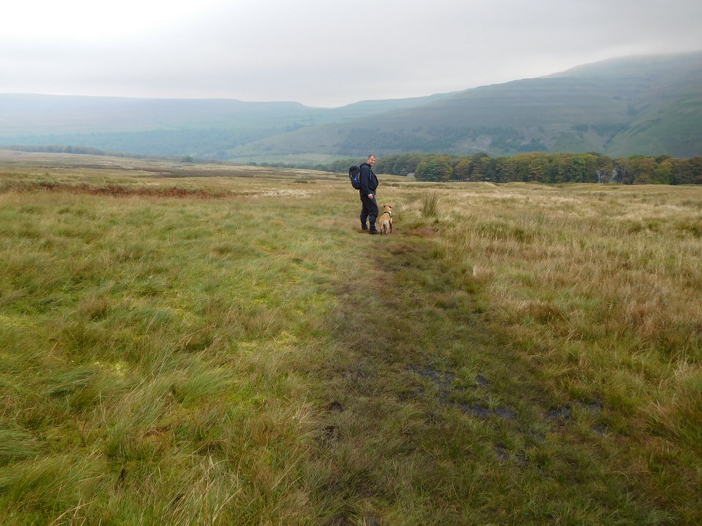
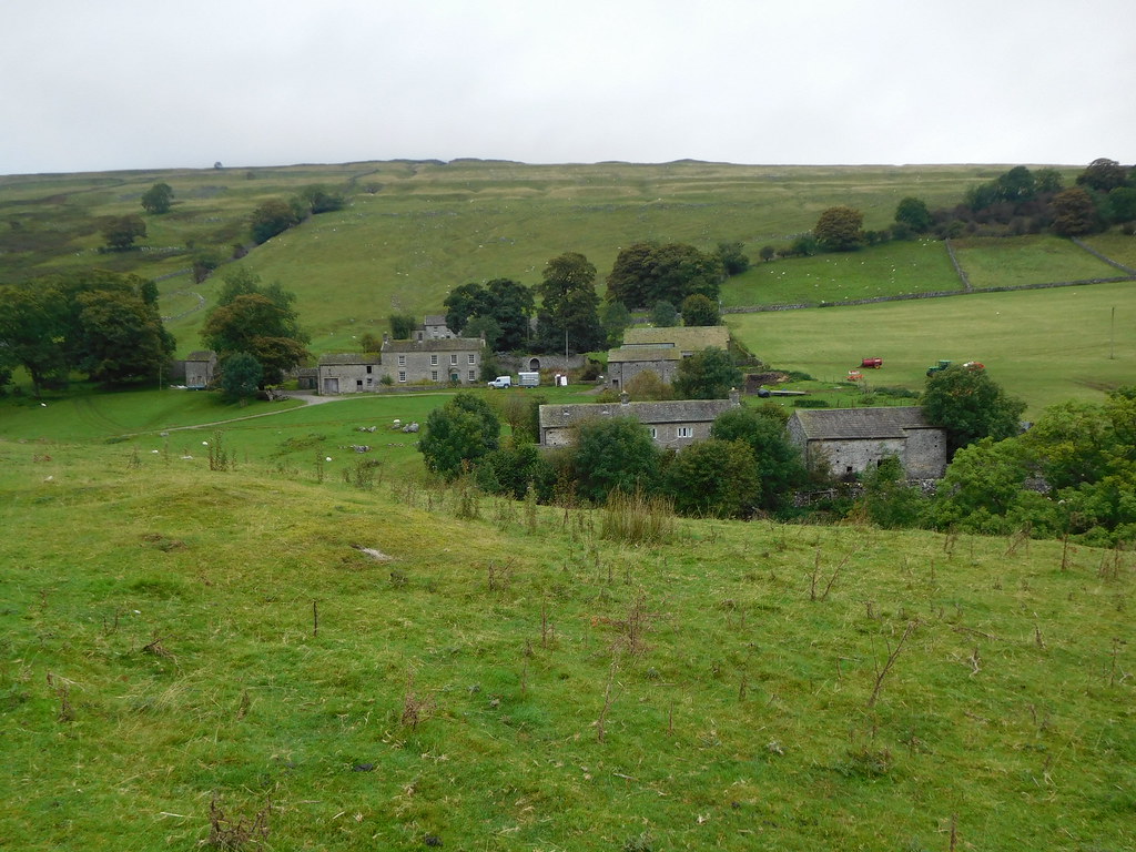 Yockenthwaite
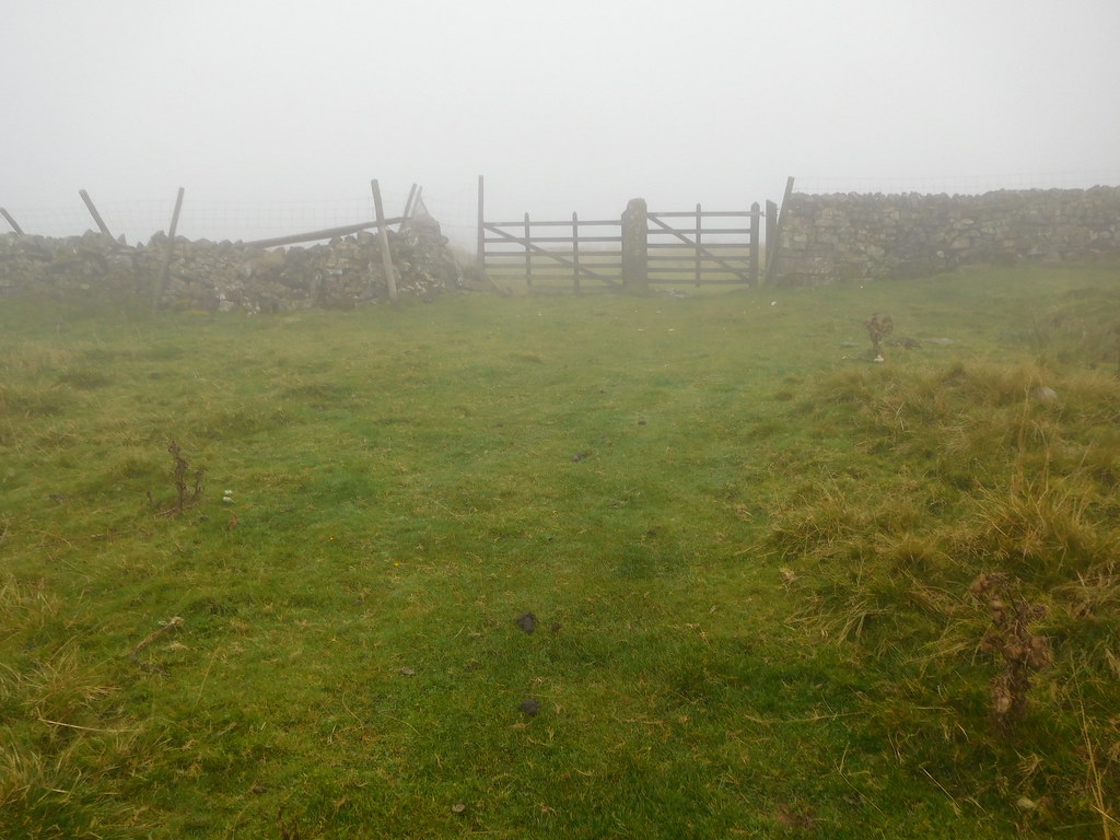
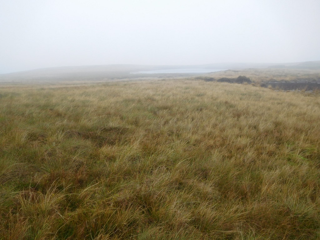
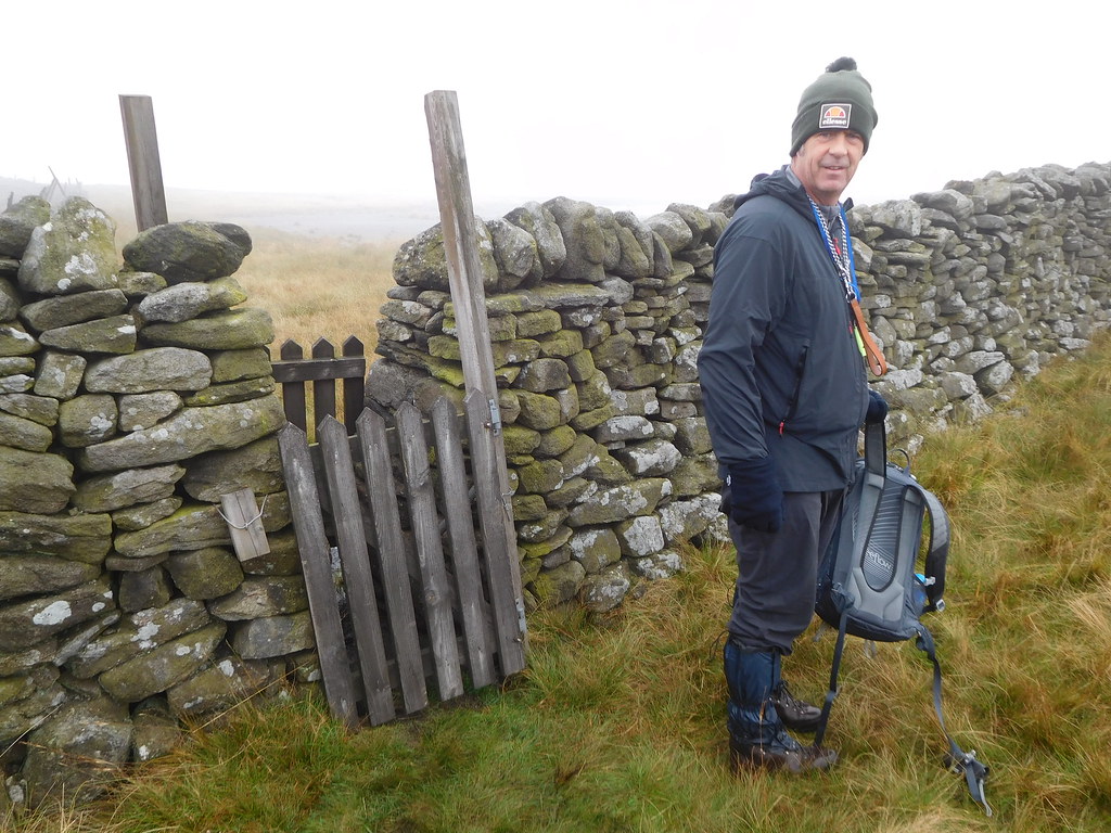
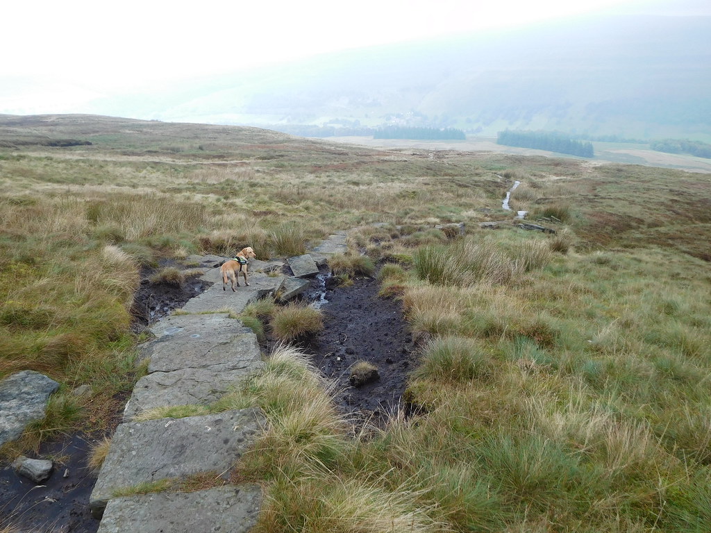
 There was no one else about apart from the farmer who drove down the road on a quad bike as we got ready in a damp and chilly 9°c and the clag cloaked hills didn't look at all inviting, but we're here, and there they are, waiting to envelop us in their grey shrouds of cloud, so there's going to be a meeting on the hillside, or more to the point, the summit. We walked along the road in the direction of Kettlewell for a short way to arrive at the farm buildings of Raisgill that sits besides Hagg Beck. To the left of the house there is a gate through which access is gained to the near invisible path that runs under some trees behind the buildings, although if we had realised it earlier we could have saved a few metres of road walking by taking an unmarked path to the right of the farm that would have put us in a similar place higher up the fellside.
The path circles around the buildings climbing easily over the grass and then is more noticeable as it turns to the northwest for a short distance before turning at right angles to then start the climb southwest above the tree line and following the line of Hagg Beck up to its head from where feeder watercourses drain the water from off the ground of Horse Head.
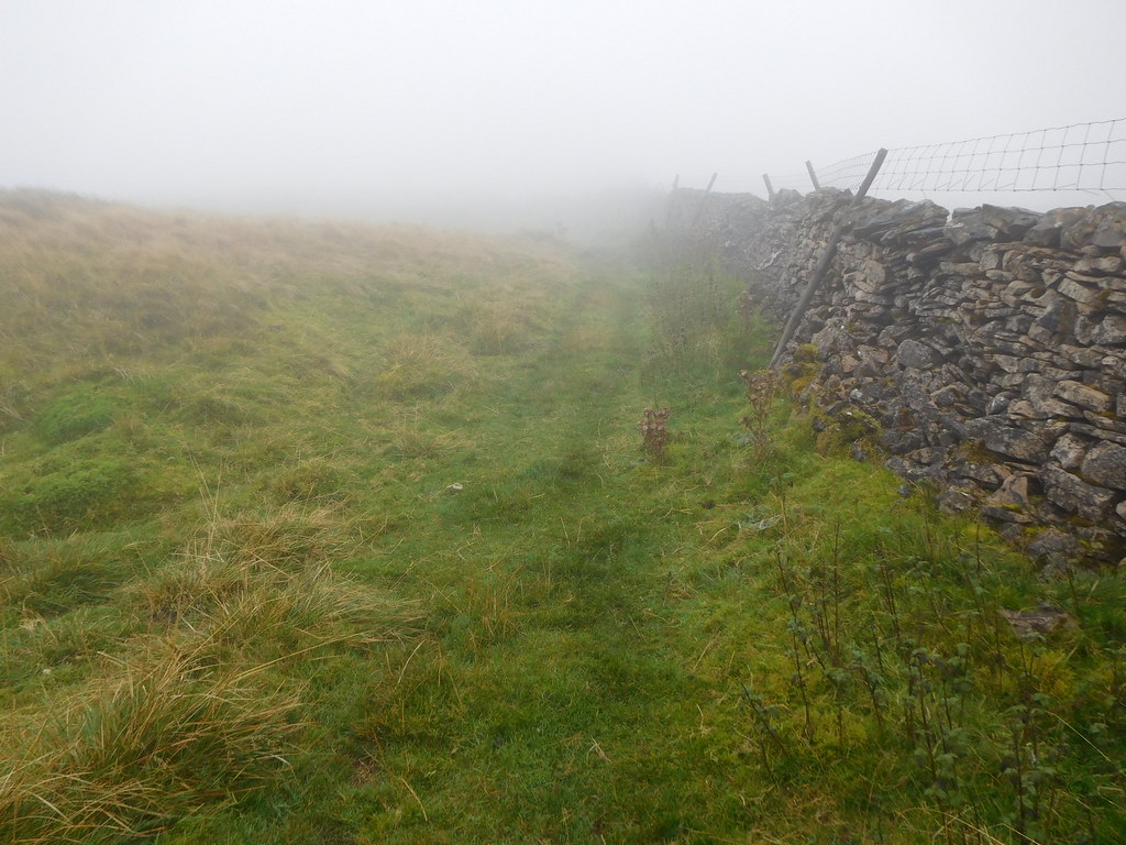
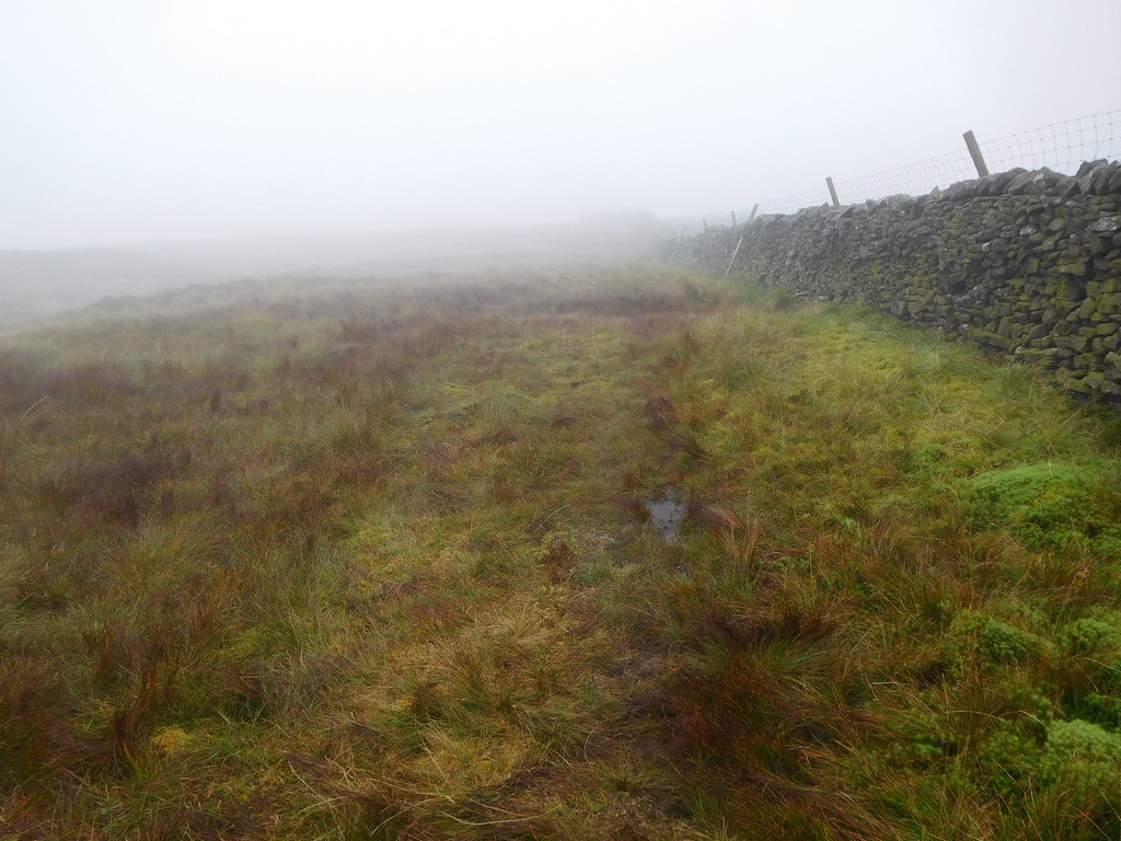
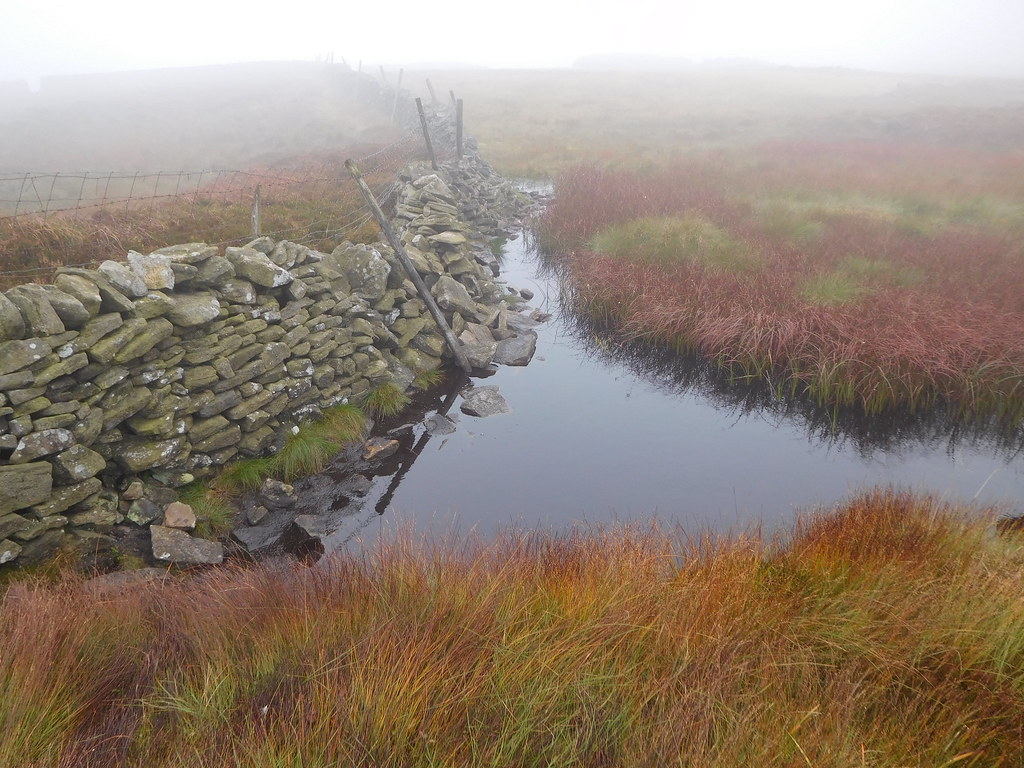
The fence that we initially followed above Hagg Beck is relatively new…
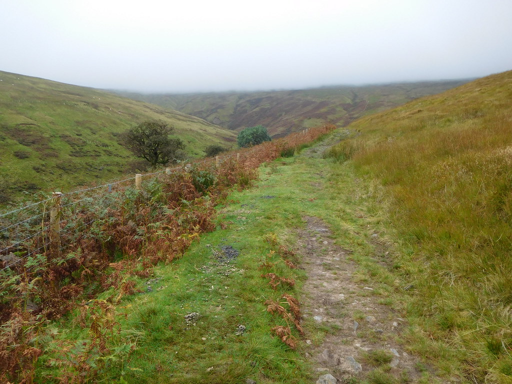 New fencing follows the line of Hagg Beck
 with new fencing also erected on the far side of the beck and the space on either side of the beck between the two fences has been split into fair sized chunks by other new intervening fences in which hundreds of saplings have been planted.
 Hagg Beck-new fences and tree planting
 Where we crossed one of the feeder waterways via the ford we passed a concrete trig column and why it is just there we couldn't work out.
 Concrete column and saplings at the head of Hagg Beck
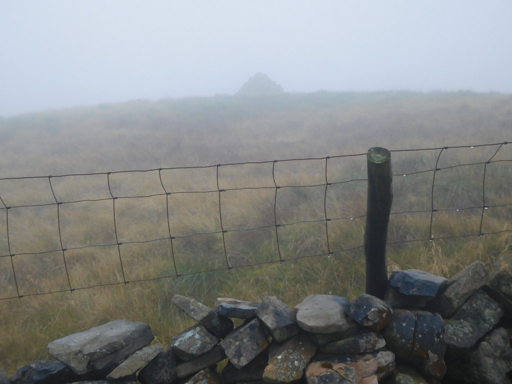
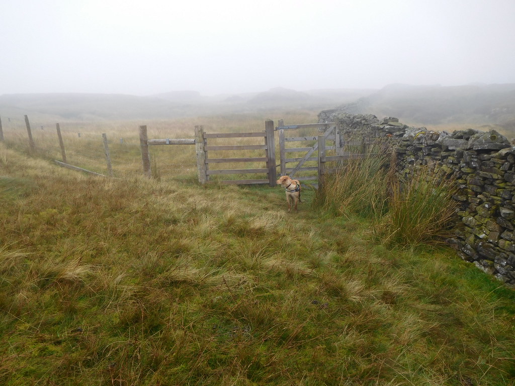
 After an easy but damp walk up the fellside we arrived at Horse Head Gate and were now in the clag.
 Arriving at Horse Head Gate
 We pondered barely a moment on whether or not to walk on to the trig column and view point at Horse Head as there would be nowt to see any way, but curiosity took the better of us so we turned to the northwest and proceeded along the well worn path that is also marked by posts. There's no chance of going wrong as the wall is a good guide even in the thickest of fog.
 The marked path to Horse Head trig column at 605 metres
 The path that is over grass made for a wet walk as it squirms and undulates its way along and it didn't take us many minutes to reach the trig column…
 Horse Head viewpoint
 that is sat on a grassy hump, neither did it take us many minutes to do the return walk back to Horse Head Gate thinking that that exercise had been a waste of time, but at least we had made the effort and got there to see, absolutely nothing but grass and clag.
From the Gate we now had an easy stroll to Sugar Loaf following the wall southeast along a grassy path that disappeared into the clag.
 Follow the wall all the way to Sugar Loaf
 After a good 20 minutes of walking we arrived at a point where the wall does a right angled turn to the northeast, it was at this first corner that we were introduced to the fairly large cairn of Sugar Loaf with once again absolutely nothing to see only clag, Chris, and the whites of Sonny's eyes. It wasn't even worth climbing the fence for a better look.
 Sugar Loaf cairn
 We've had good but wet walking so far but things were about to change as we rounded the corner of the wall and continued walking to the southeast, we had arrived at the peat hags in all their glory. I had heard that there was 'a bit of a damp spot' between Sugar Loaf and Birks Fell summit, well I had heard right as it is a bit challenging - or it was today with the clag and wet conditions - in places to say the least. A lot of swerving about climbing in and out of water filled black holes where in places the old fence made handy and welcome assistance in our quest to stay as dry as possible. Of course the clag didn't help any as visibility was down to a few yards, so looking forward and trying to pick a decent route through wasn't much help.
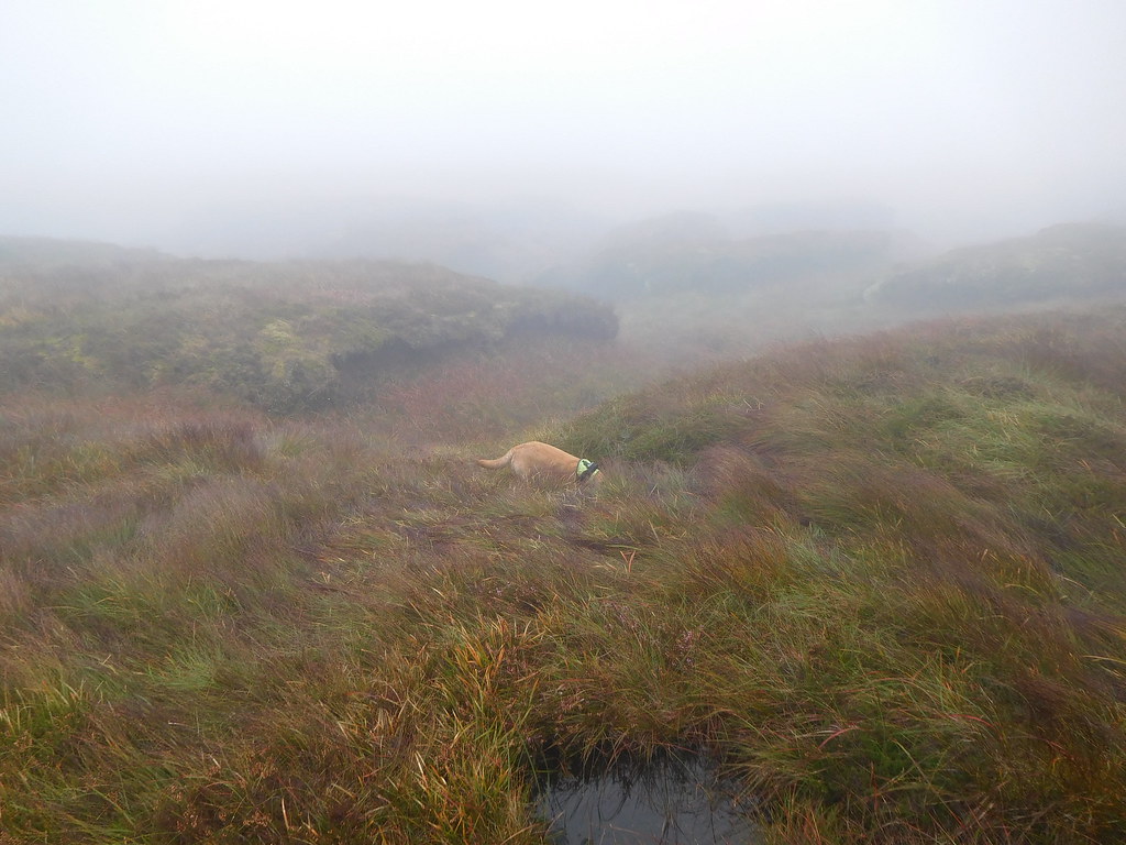 Sonny looking for voles amongst the peat hags
 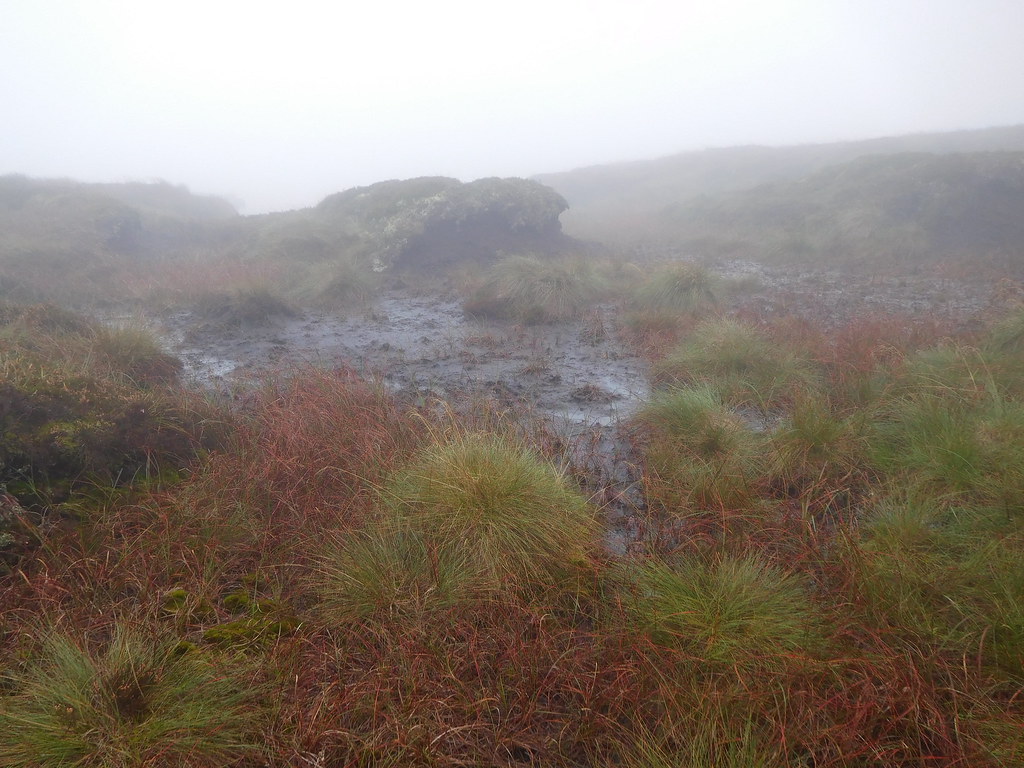 Getting amongst the rough
 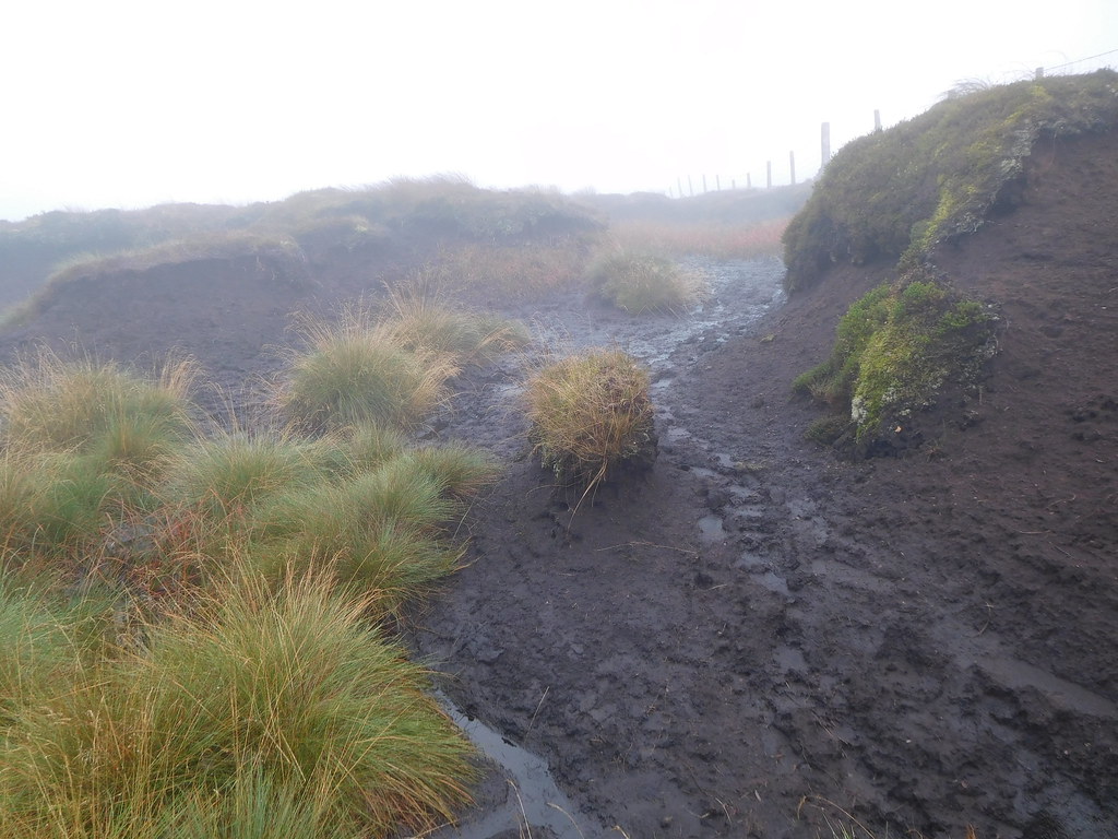 Still sticky conditions
 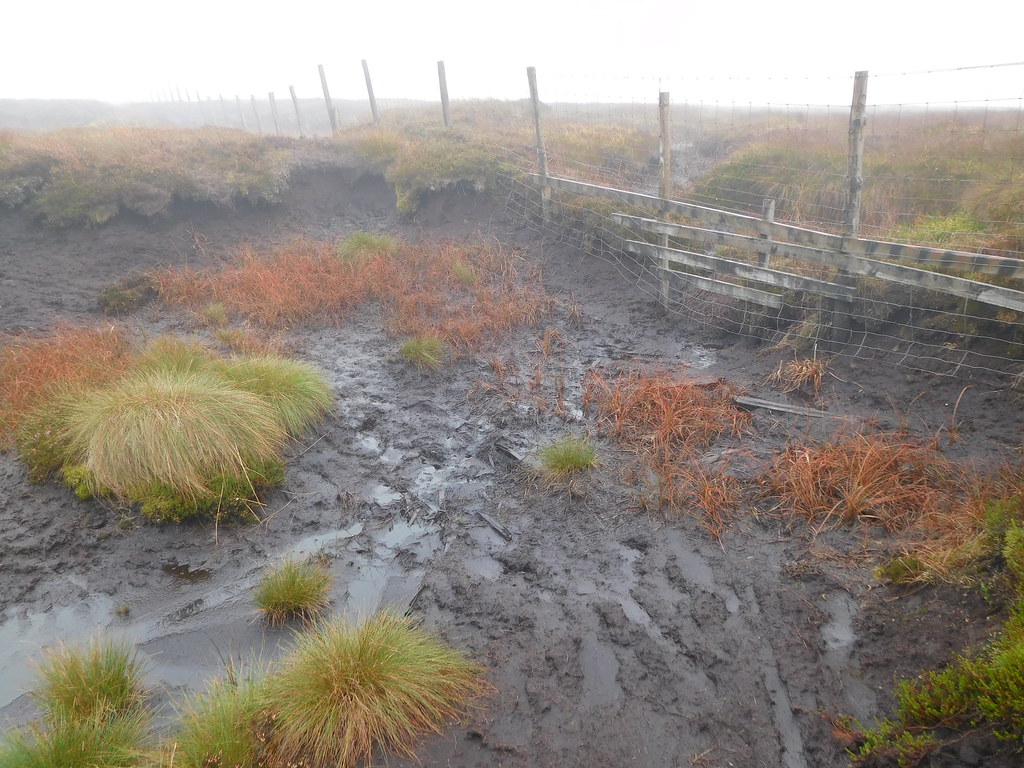 Nearly through it now
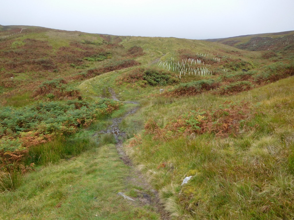
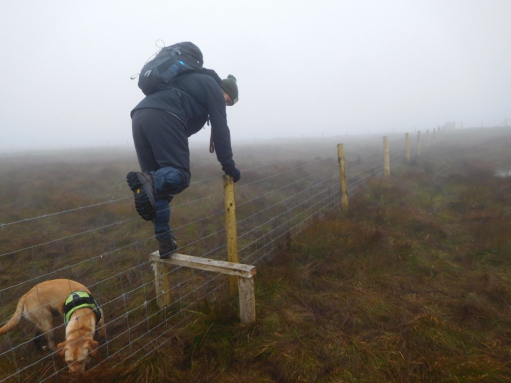
 The importance of having a map and compass or GPS - or in fact all three if possible - was nowhere more evident than today, for as we were wandering through the hags we had to leave the fence to find a more amenable route through and at one point it was quite confusing as to where it lay or where we were. We stopped to get our bearings, decided where we needed to be and went for it. Before long the fence reappeared and we noticed that now it was quite a new one and we are convinced that the fence has been moved over more to the south but one stroke of luck was with us as we arrived at a step stile that would help us over the fence to continue over much better ground, for a while.
 Out of it at last
 Walking on solid ground we now made good time as we changed the fence for a wall and now walking to the northeast…
 Walking northeast with the wall
 and although still fairly wet and boggy in places it was much more preferable than the hags. We arrived at a gate stile in a fence that meets the wall just where it begins to bend around to the southeast…
 This way lads
 from where our trials and tribulations of more peat hags were about to begin and these were like large and shallow lagoons of black soup in which the clumps of grass were unstable and not fit for purpose.
 A rough patch at High Combe Stoop
 We found the occasional dry area but they were a rare occurrence…
 Working our way through it
and at one point the bog is so extensive that we followed the examples of those that had gone before us and used the wall in places.
 Walking the wall at this point
 After this latest encounter with a bit of rough the going got a lot better again with easy walking once again. There are lots of small and unnamed tarns along our route and many places where it looked as though some had dried up completely leaving nothing but bare patch of peat and a few grey stones in their place.
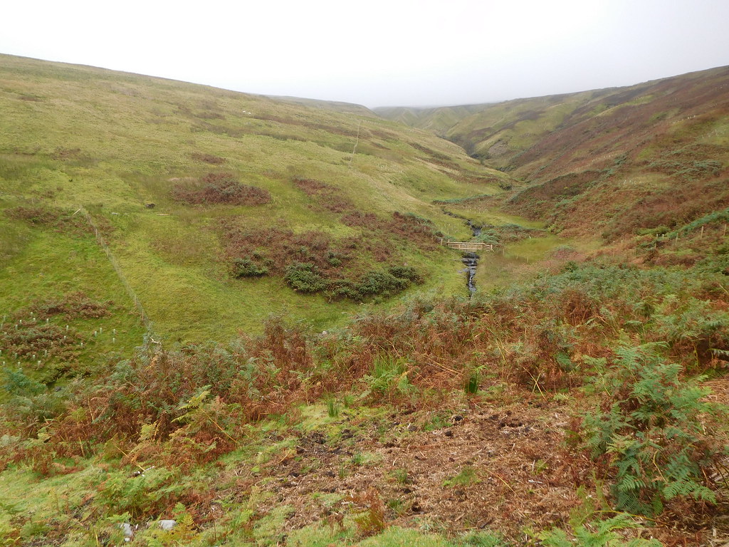
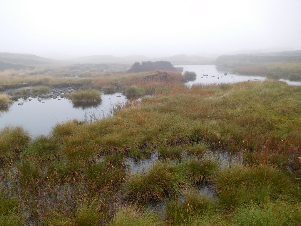
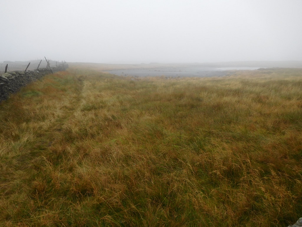
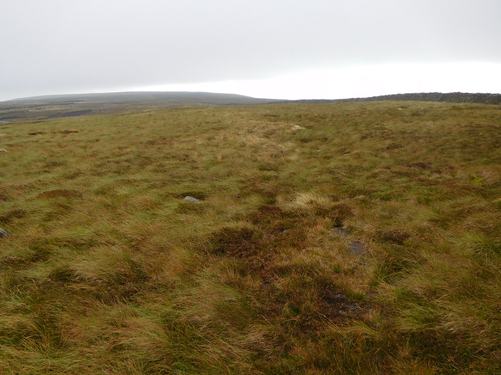
 There are quite a few unnamed tarns on the moor
 Before long we arrived at another cross wall with a double gate stile and this is where we stopped for a break with the summit cairn in our sights through the now thinning clag that keeps lifting and then dropping back down again but at least the sky was getting brighter. You can maybe tell what the conditions have been like by the look of Chris.
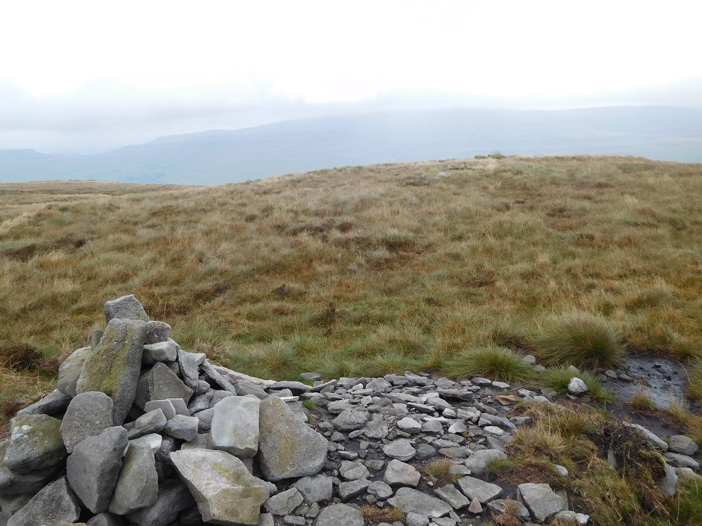
 A break before the summit assault
 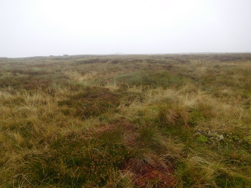 The summit cairn is on the hoizon
 The next two photos of the same area show how the visibility is changing by the minute.
 A bleak moorland scene at 11 42 am
 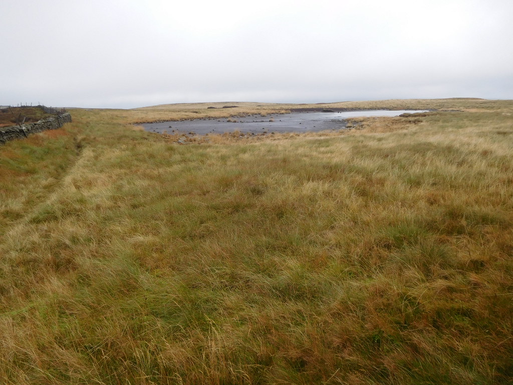 The cloud is lifting slightly at 12 05 pm
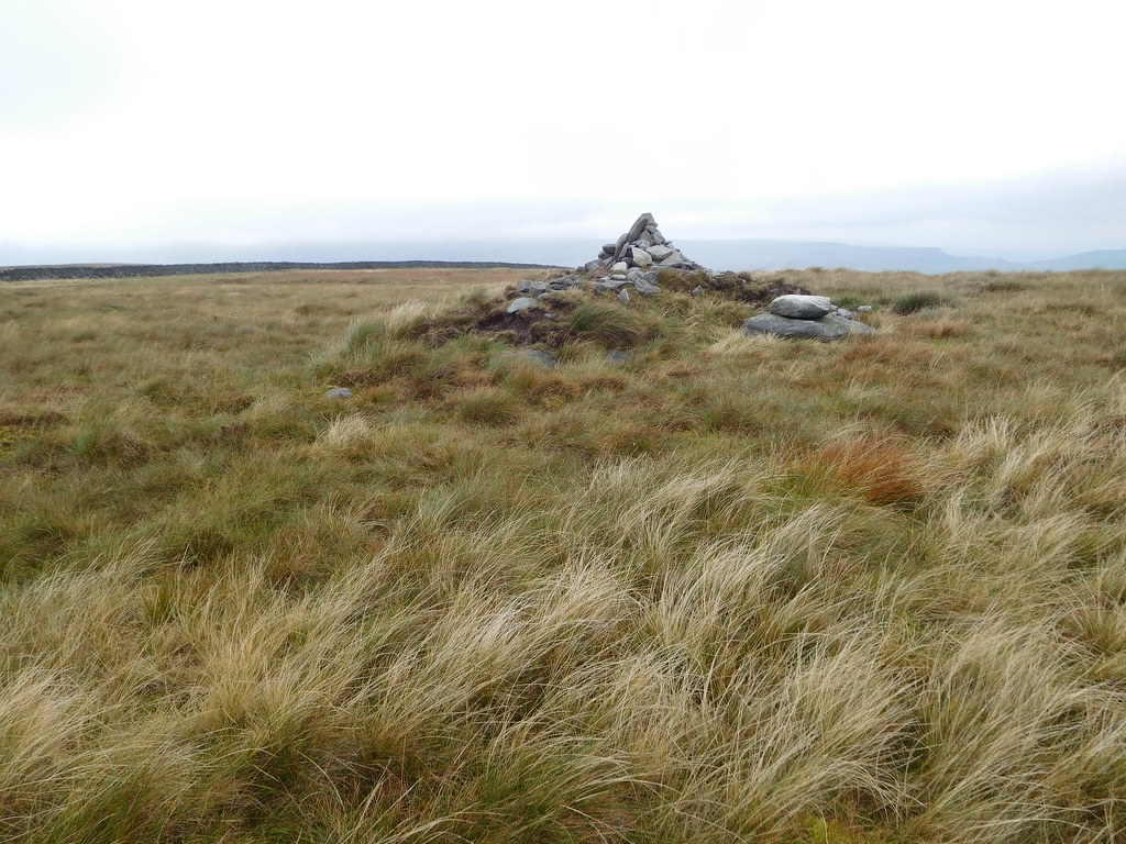
After a cold and draughty break behind the wall we set off for the summit cairn along a narrow path across the grass, a walk that took but a few minutes to find a small cairn sat upon a raised area of grass covered peat. A mound that looks like it has been manually built up it looks so sort of regular in shape.
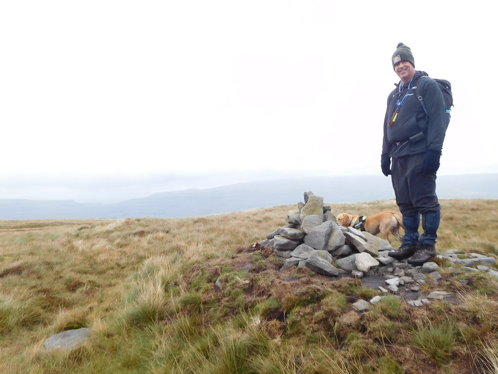 Man and dog at Birks Fell summit
 From a distance the cairn looked much bigger than it actually is, but I suppose with it being sat on the mound and the fog magnifying it was just a trick of the weather conditions. There wasn't much to see from the summit due to the low cloud covering the distant fells, Buckden Pike, Yockenthwaite Moor, and Great Whernside, all of which are not too far away.
 A cloud covered Buckden Pike from Birks Fell
 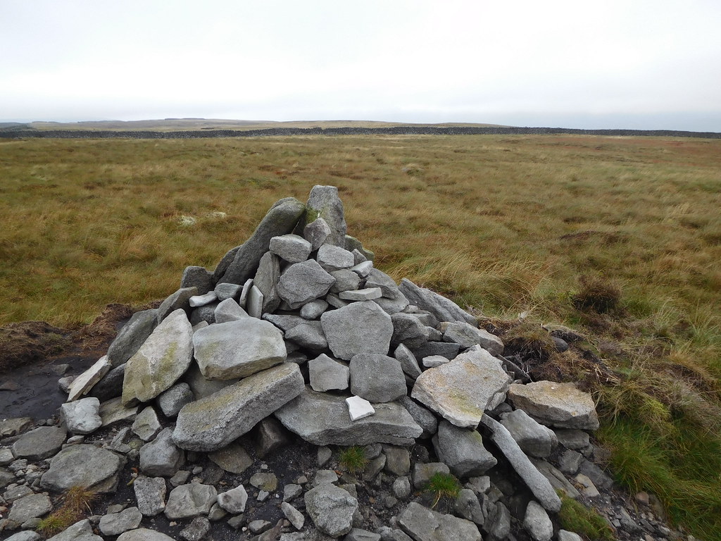 Looking to Moss Top and Out Moor
 We didn't linger as there was not much point in looking at a veil of grey so we took a narrow path south that very soon picked up the wall path once again…
 Leaving Birks Fell summit behind
 and after another good run of decent path we arrived at a stone structure that has been built into the wall and what it was used for is lost in history now. Maybe it was a shepherd's shelter?
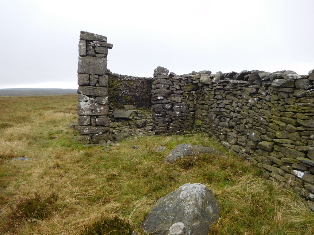 Ruins of building built into the wall near Birks Tarn
 A quick look inside revealed nothing of interest so we made a move over to Birks Tarn, but as the ground was wet and boggy and we had had enough of bog trotting for now the photos of the tarn were taken from afar.
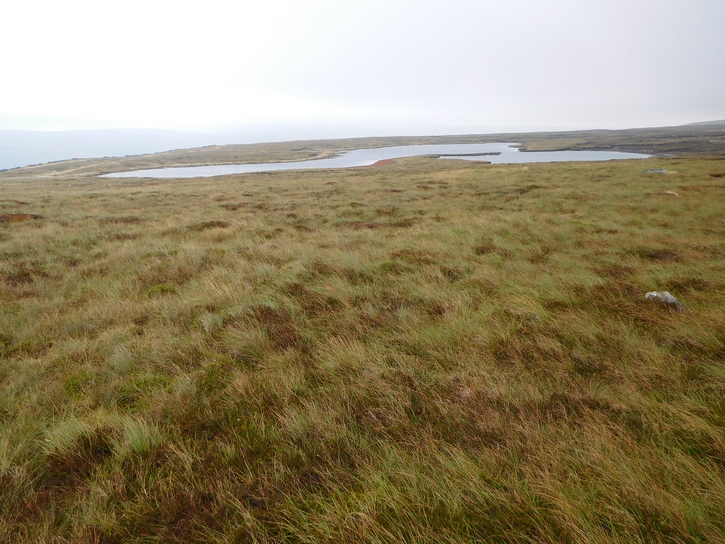 Birks Tarn
 From the tarn and looking to our way forward the massive expanse of Firth Fell and Old Cote Moor Top was waiting for us…
 Old Cote Moor Top from Birks Tarn
 but we are only going as far as the old track that would take us down to much lower ground and Buckden.
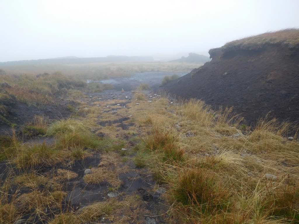
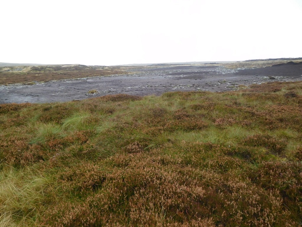 Dried up tarns on Birks Fell
 Once we had reached the wall that we would follow as we used the track down to Buckden we had completed only half our walk but at least it was all downhill and easier going from this point…
 Looking down on Buckden and Hubberholme
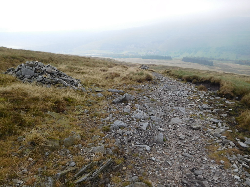
 The old track is a bit worn out in places but all in all it was a good descent with the upper part consisting of a stony bed and as it progressed down the fellside that was replaced by large stone paving slabs with many more just lying alongside the track.
 A good long paved section
 At the point where the slabs stopped the way was now over grass with the ground very soft in many places but we made good time on our way to Buckden.
 Walking above Birks Wood whilst on the way to Buckden
 On arriving at Buckden…
 Buckden
 we walked along the metalled Dubb's Lane to arrive at Hubberholme from where it was then a pleasant walk along the Dales Way following the River Wharfe back to Yockenthwaite and our car.
It was 9°c when we set off and 13°c when we arrived back at the car but it had been much colder at height where a strong breeze didn't help any, but despite the weather and underfoot conditions this has been a great walk. So, we missed some views, but that happens on so many occasions when walking the fells, but it has been good to get out on a hill. All we had to do now was to get back to Kirkby Stephen and sit in a nice warm hostelry reflecting on the days walk whilst trying out the local best bitter.
